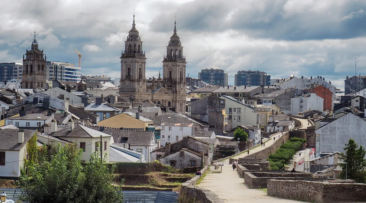
Few places on the Camino break in as many new boots as the staircase off Rúa Maior in Sarria. It's where most people start: Day 1, Sarria to Portomarín, 13.8 miles (22.2 km), the first of five days that end at the Cathedral. The reason is arithmetic, not romance: from Sarria it's about 71 miles (114 km) to Santiago, and 100 km on foot is the minimum the Cathedral asks for a Compostela.
We know this day the way you know your own commute — our office is in Palas de Rei, two days further up the route, and we walk this stretch with pilgrims all season. If what you want is the map, elevation profile and where to sleep, that's all on our Sarria to Portomarín stage page, and if you're still fitting the whole week together, start with our guide to the last 100 km from Sarria. This piece is about one day: what it does to a body that hasn't walked much lately, and how to spend a first night in a town that was taken apart and rebuilt on higher ground.
Day 1 is easier on paper than it is in your legs
Nothing here should scare you: no mountain pass, wide tracks, plenty of shade under carballos — the Galician oaks — and chestnut trees. But Galicians call terrain like this rompepiernas, leg-breaker, because it never stops going up and down. Three things make a first day harder than the same mileage on Day 4:
- You're not broken in yet. Your feet haven't found their hot spots, the pack sits wrong, and the excitement of finally being here makes almost everyone leave Sarria too fast. Start slow.
- Most of the climbing is in the first half. From Sarria toward Morgade the trail tilts upward in short, insistent pitches. After that it leans down toward the valley of the Miño.
- The final descent goes after your knees. The last stretch down toward the Belesar reservoir drops hard. If you brought poles, this is what you brought them for. If not, shorten your stride and take it slow — this is the part that leaves knees complaining at dinner.
At a steady pace with two or three real stops, anyone in reasonable shape enjoys this day. At a pilgrim pace of about 2.5 mph (4 km/h) that works out to roughly five and a half to six hours of walking, not counting long stops — and the long stops are the point. It isn't a day for records; it's the day you downshift into Camino time.
The km 100 marker, and how to get it to yourself
Shortly past Morgade, approaching Ferreiros, you reach the most photographed object on the Camino Francés: the stone marker counting down 100 km to Santiago, covered in signatures, messages and stacked pebbles. In high season there's a line to pose with it. It isn't accurate to the meter — measurements have been revised over the years, and nearby markers carry decimals that contradict it. Doesn't matter; the "100" is the symbolic one. If you want it without strangers in the frame, leave Sarria early. The bulk of the field gets here mid-morning.
The walk, village by village
Sarria to Barbadelo
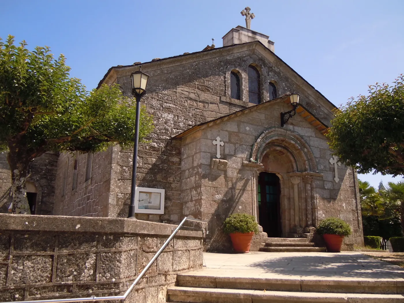
You leave the old quarter past the convento de la Magdalena and cross the medieval bridge of A Áspera on your way out of town. Pavement gives way quickly to corredoiras — sunken farm lanes between stone walls, which is what much of this day looks like. Barbadelo brings the first stop with real history: the Romanesque church of Santiago, twelfth century, with a carved doorway worth the five-minute detour. There's usually a stamp there.
Barbadelo to Ferreiros: cows, hórreos and no hurry
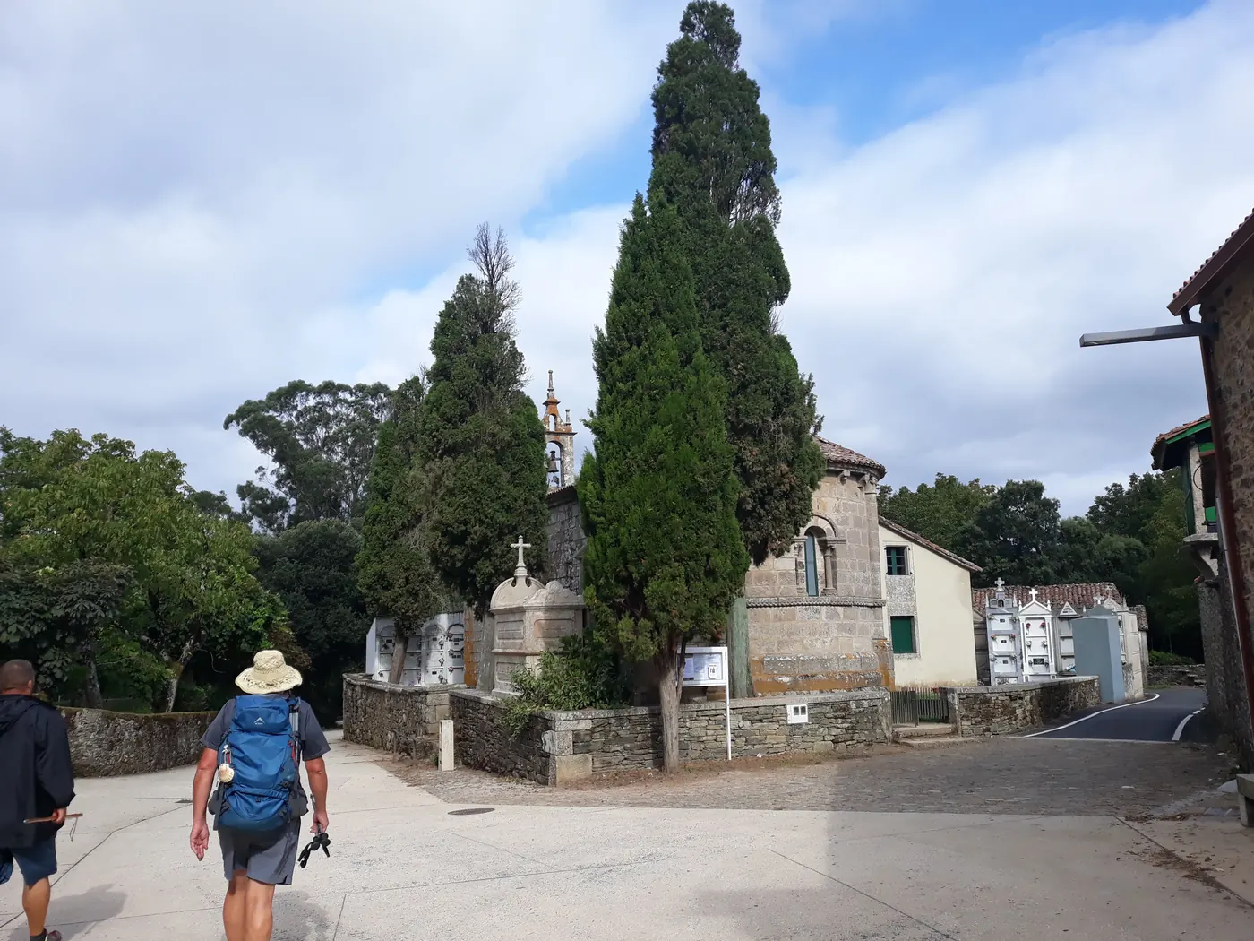
This middle stretch is inland Lugo province at its most itself. Tiny settlements — Rente, Peruscallo, Morgade — with hórreos (raised stone granaries on stilts; once you know the word you'll see hundreds), cows crossing the track on their own schedule, and a neighbor selling fruit or homemade crepes from a table by the door. Bars come along every few miles through here, so you don't need to haul a day's food out of Sarria. Past the km 100 marker you reach Ferreiros, the classic long stop: roughly the midpoint, and a good place to eat something hot.
The balcony over the Miño
From Ferreiros the trail strings together more hamlets — Mirallos, A Pena, Mercadoiro, Vilachá — while the country opens up. Somewhere in the descent you get your first look at the water below: the Belesar reservoir, which is the dammed Miño, with the outline of Portomarín on its hilltop beyond. It's the big view of the day, easy to miss if you're barreling downhill. Stop and look.
The bridge and the stairs
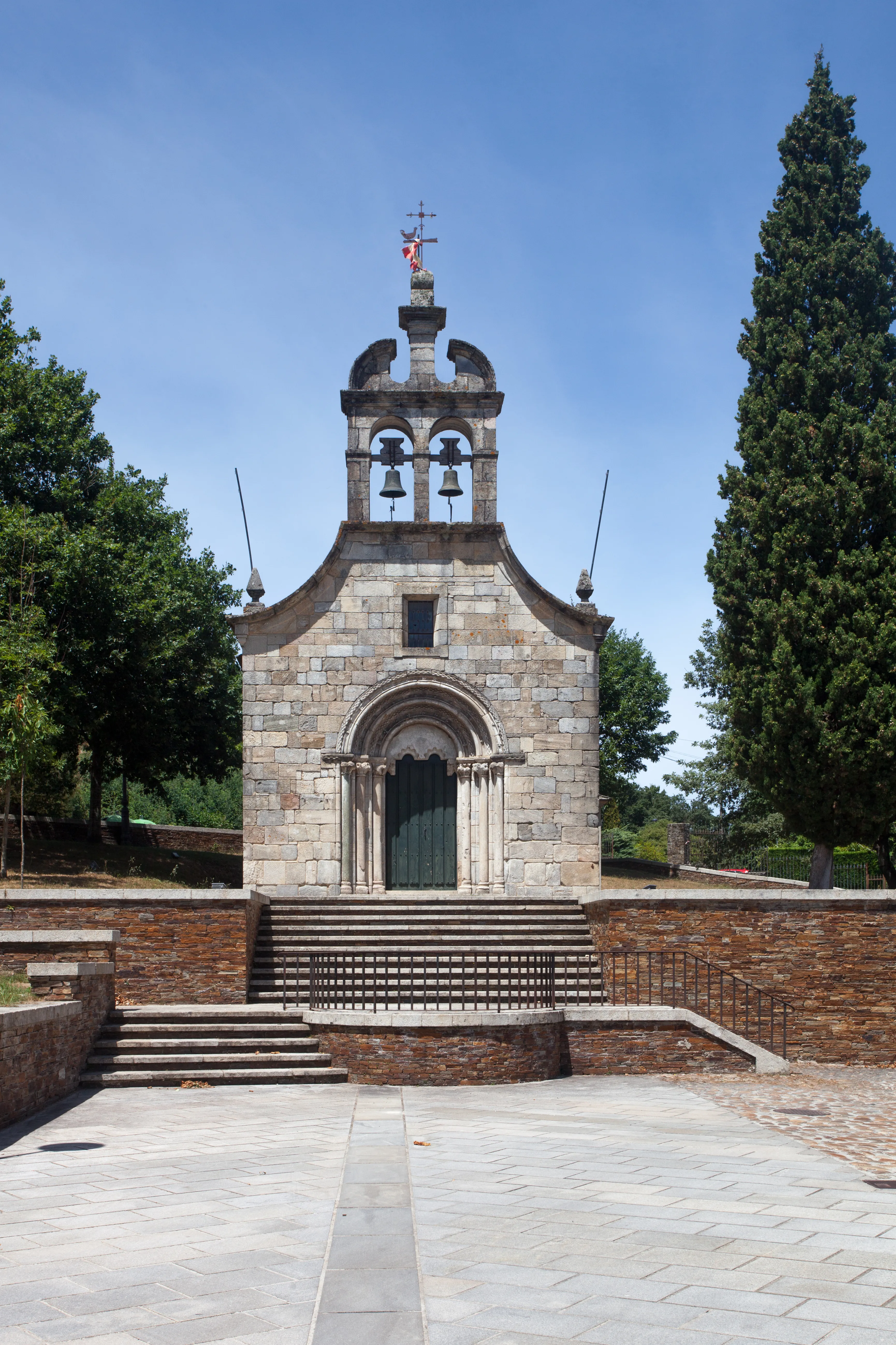
The day ends by crossing the Miño on a long bridge set high above the water. On the far side, a steep flight of steps climbs through a stone arch saved from the old medieval bridge, with the capela das Neves at the top, and delivers you straight into town. It's the day's last climb, and it arrives at the worst possible moment: you can see your bed and you still have to earn it.
Eating and drinking on a Spanish clock
Spain eats later than you do at home. Plan the day around it.
- Eat a real breakfast before you start, in Sarria or at one of the first bars out past Barbadelo. This is not the morning to run on coffee alone.
- Lunch is the main meal, and it lands later than you're used to. The Ferreiros area works well for it — pilgrim menus and home cooking, at about the midpoint of the day.
- Dinner runs later too. Portomarín is a classic end of stage, with tapas and restaurants around the plaza and the main street. Ask your accommodation when the kitchen opens rather than turning up at 6 p.m. hopeful. If you're traveling with us, we'll point you toward places we've checked ourselves.
- Carry at least a liter of water, more in July and August.
Portomarín: the town that moved
Portomarín's story doesn't repeat anywhere on the route. In the 1960s the Belesar dam condemned the old town, which now lies under the Miño. Before the flooding, residents dismantled their most valuable buildings and rebuilt them up on the monte do Cristo, where today's Portomarín stands.
The centerpiece of that move is the church of San Xoán, also called San Nicolao: a twelfth-century Romanesque fortress-church tied to the Order of St. John, taken apart block by block and rebuilt where you see it now. Look closely at the walls and you can still make out the numbers carved into the stones so it could go back up in order. When the reservoir drops in summer, pieces of the drowned town surface — the stump of the old bridge, the walls of the houses that didn't make the trip. Give it an evening walk; it's a town to take slowly.
Your first night sets up the whole week
- Shower, stretch, inspect your feet — in that order, the moment you arrive. A hot spot treated on Day 1 is a footnote. Ignored, it defines your week.
- Get your second stamp. Over the last 100 km your credential needs two a day: the church in Barbadelo, a bar in Ferreiros, your accommodation tonight. Stamp where you were stopping anyway. Full rules in our guide to the last 100 km.
- Eat on the early side and sleep long. Day 2, Portomarín to Palas de Rei, is longer than today and climbs more at the start. Pack tonight, not in the morning.
- Book ahead from May through September. Portomarín is where nearly everybody stops on Day 1, and the beds go early.
- Walk light. The biggest comfort upgrade on this route is not carrying your luggage: with bag transfer you walk with a daypack — water, a rain shell, the day's essentials. Our Camino packing list covers what belongs in it.
What if you can't finish the day?
It happens — a blister, a knee, jet lag landing at mile eight — and it isn't a failure. You can stop short in one of the villages (call ahead; nothing out here is guaranteed at the last minute), or take a ride forward to Portomarín and pick the route up in the morning. If you're traveling with us, that's what the 24-hour assistance line is for. One thing to weigh before you get in a car: the Cathedral requires the last 100 km on foot, so any section you skip is a section you'd want to walk on another day.
What comes after Day 1
Sarria to Santiago runs about 71 miles (114 km), normally split into five days. After Portomarín comes Palas de Rei, our own town. Then the long one: Day 3, Palas de Rei to Arzúa, 17.7 miles (28.5 km), the biggest day of the corridor, and the one plenty of people break at Melide and are glad they did — the map, elevation profile and where to sleep for Palas de Rei to Arzúa are on its own page. After that the days shorten — O Pedrouzo, then Santiago — and the walking stops being the hard part.
If you'd rather we handled the logistics
OurWay Travel is a licensed Galician agency (XG-LU-000236) based in Palas de Rei, on the Camino Francés itself, 67 km from Santiago. We're not a call center on another continent, and we answer the phone in English. We arrange the whole trip: accommodation booked stage by stage with breakfast, luggage transfer of one bag up to 33 lb (15 kg) per person, your credential, 24-hour assistance and Aon Schengen insurance covering €30,000 of emergency medical expenses abroad, plus repatriation.
Tell us how many days you have and how far you want to walk each one — design a custom Camino or just write to us with your questions. Still working out how to get here? Start with our guide on how to get to Sarria from the US.
Frequently asked questions
Does Day 1 take longer than the numbers suggest?
Usually, yes — not because the day is long, but because of what's in it: the church in Barbadelo, the line at the km 100 marker, a slow lunch around Ferreiros, and a climb into town on legs that have never done this before. Budget the day, not the walking hours. The measured distance and the elevation profile are on our Sarria to Portomarín stage page.
Where exactly is the km 100 marker?
Between Morgade and Ferreiros, a bit past the first third of the day. It's the only marker with a line of people waiting to be photographed next to it.
Is this a good first day if I'm not in great shape?
Yes, if you take it calmly. There are no mountains, but the rolling profile and the final descent both show up in your legs on Day 1. Leaving early, stopping often and sending your luggage ahead make the difference.
Do I need to book accommodation in advance?
From May through September, yes. Portomarín is the standard first night for nearly everyone walking from Sarria.
The first day sets the tone for the whole walk. If you'd rather start it carrying nothing but water and a rain jacket, with a bed held in Portomarín and your bag waiting at the top of those stairs, get in touch.