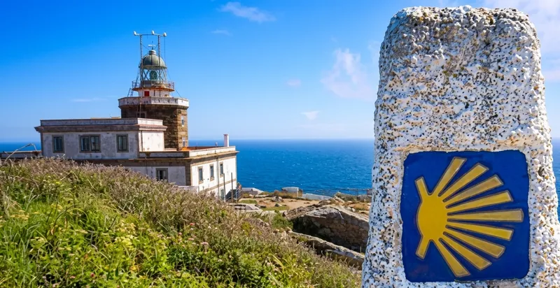
Stage of the Camino
Stage Description
The day sets off from Santa Mariña, a small hamlet in the council of Mazaricos, at around 334 metres of altitude, and heads towards Negreira, following in reverse the long stage that the Camino de Fisterra links with Olveiroa. The pilgrim crosses a rolling stretch that strings together hamlets and woods of oak, chestnut and pine: As Maroñas, O Cornado and Vilaserío follow one another over dirt tracks and country lanes between meadows. After Vilaserío the path continues through A Pena, in the parish of Piaxé, and through Zas, alternating gentle rises and steady descents. The final stretch tackles the drop towards the valley of the river Barcala down to Negreira, at 166 metres, entered through the pazo do Cotón, whose stone arch crosses over the Camino at the gates of the town. It is some 20.7 kilometres of thoroughly rural Galician landscape.
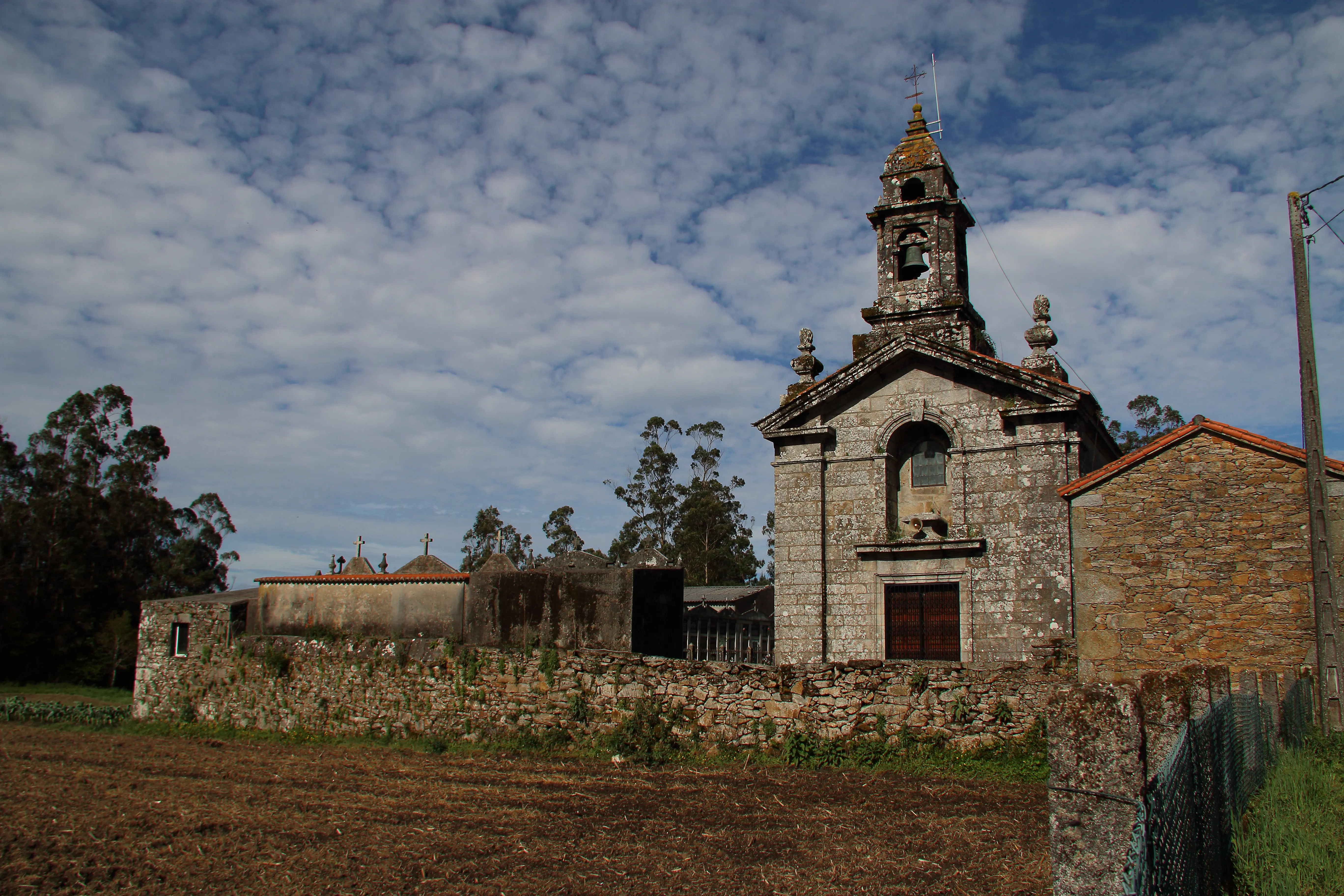
The day begins in Santa Mariña, a small hamlet in the council of Mazaricos, beside the parish church and Casa Pepa, where many pilgrims pause for a break. At around 334 metres of altitude, the Camino turns eastward towards Negreira, following in reverse the long stage that links Olveiroa with the town of Barcala. The setting is rural from the very first step: fenced meadows, granaries and scattered farmsteads sketch an agricultural landscape in which paved country lanes alternate with dirt tracks.
Soon the route crosses As Maroñas and enters O Cornado, the last hamlet on this side, along a pleasant dirt track that runs through the forest. The terrain is rolling, with gentle climbs and descents that barely rise above 350 metres, and the path plunges into stands of pine, oak and chestnut. After O Cornado, the pilgrim reaches Vilaserío, whose former municipal hostel occupies an old schoolhouse; it is a customary resting point halfway along the route.
From Vilaserío the Camino continues towards A Pena, in the parish of Piaxé, and then descends towards Zas, partly following an old royal road through oak groves and chestnut woods. The kilometres unfold through quiet hamlets, crossroads and shady stretches of forest, with the murmur of streams running down towards the valley. The profile remains comfortable, dominated by steady descents that lower the elevation as the town of Negreira draws near.
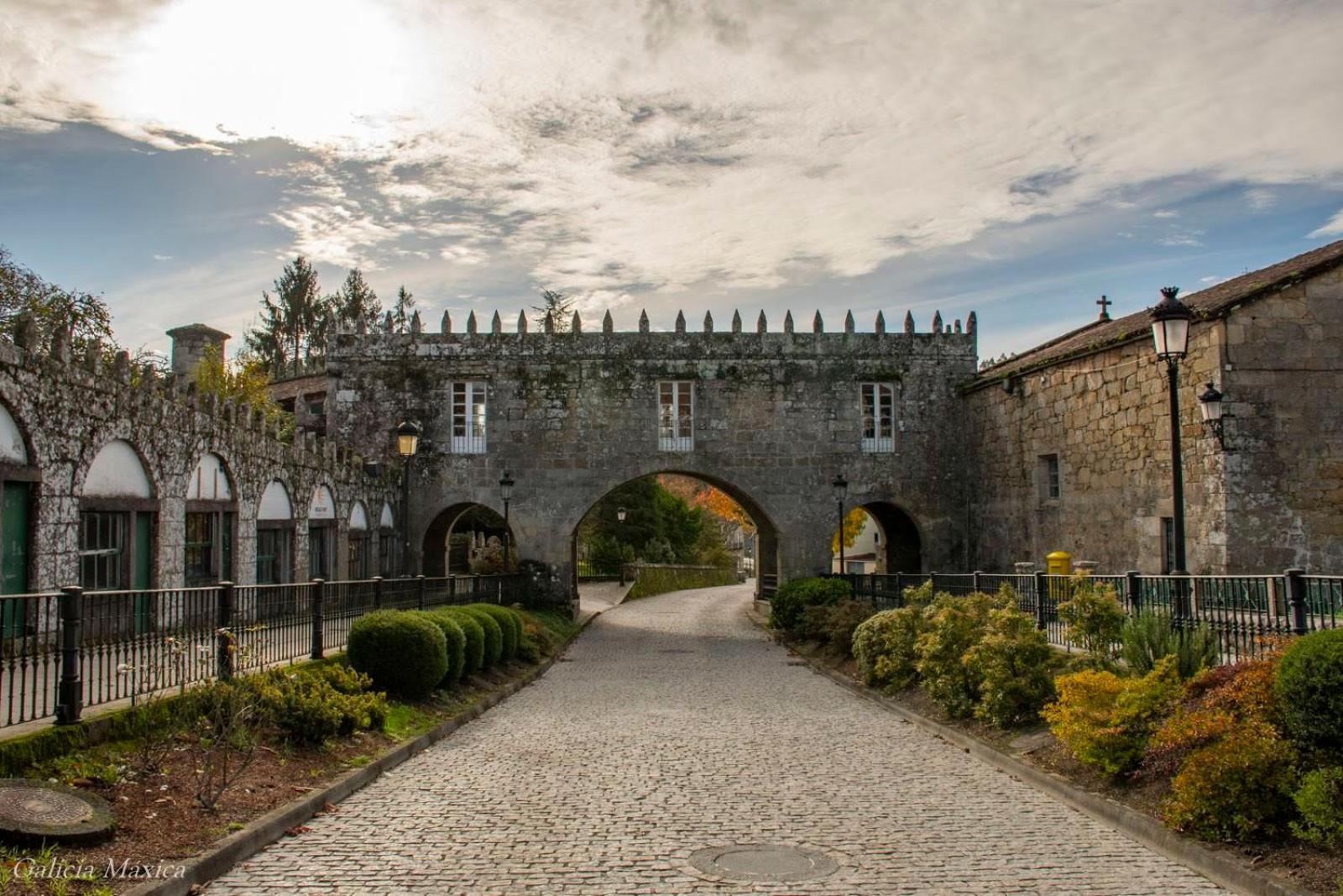
The end arrives with the drop towards the valley of the river Barcala. The pilgrim enters Negreira, at around 166 metres of altitude, through the pazo do Cotón, whose stone arch crosses over the Camino and opens onto the town. Next to the pazo, the chapel and the manorial complex welcome the walker who, in the official direction, would begin here the route towards Fisterra. Negreira, capital of Barcala, offers every service and closes some 20.7 kilometres of inland Galicia, from hamlet to hamlet and from wood to wood.
Soon the route crosses As Maroñas and enters O Cornado, the last hamlet on this side, along a pleasant dirt track that runs through the forest. The terrain is rolling, with gentle climbs and descents that barely rise above 350 metres, and the path plunges into stands of pine, oak and chestnut. After O Cornado, the pilgrim reaches Vilaserío, whose former municipal hostel occupies an old schoolhouse; it is a customary resting point halfway along the route.
From Vilaserío the Camino continues towards A Pena, in the parish of Piaxé, and then descends towards Zas, partly following an old royal road through oak groves and chestnut woods. The kilometres unfold through quiet hamlets, crossroads and shady stretches of forest, with the murmur of streams running down towards the valley. The profile remains comfortable, dominated by steady descents that lower the elevation as the town of Negreira draws near.
The end arrives with the drop towards the valley of the river Barcala. The pilgrim enters Negreira, at around 166 metres of altitude, through the pazo do Cotón, whose stone arch crosses over the Camino and opens onto the town. Next to the pazo, the chapel and the manorial complex welcome the walker who, in the official direction, would begin here the route towards Fisterra. Negreira, capital of Barcala, offers every service and closes some 20.7 kilometres of inland Galicia, from hamlet to hamlet and from wood to wood.
Last updated: 07/07/2026
Where to Sleep
Accommodations in this Stage
Find the perfect place for your rest in Santa Mariña o Negreira.
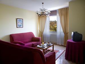
Hotel Millan
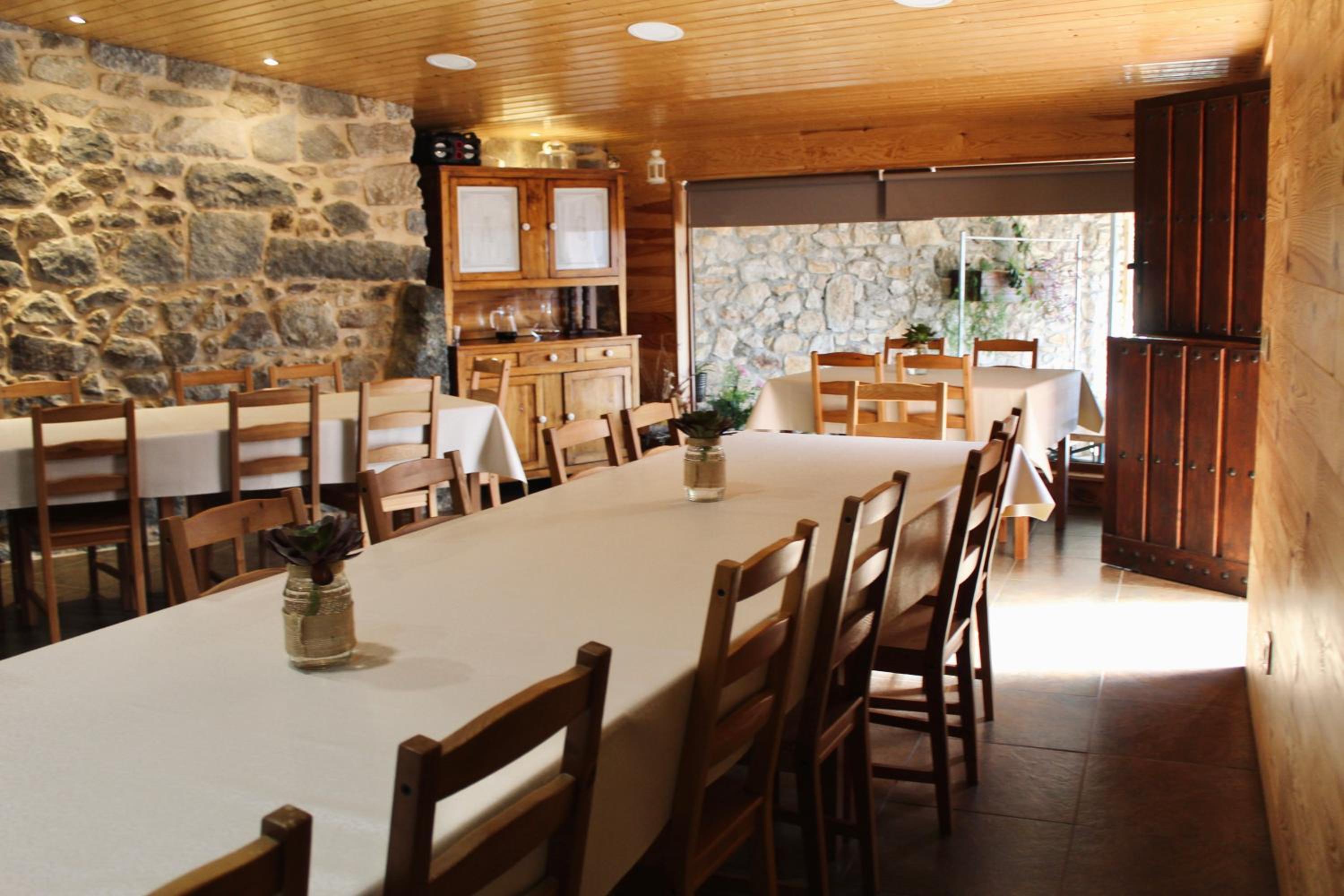
Albergue Alto da Pena EXCLUSIVE FOR PILGRIMS
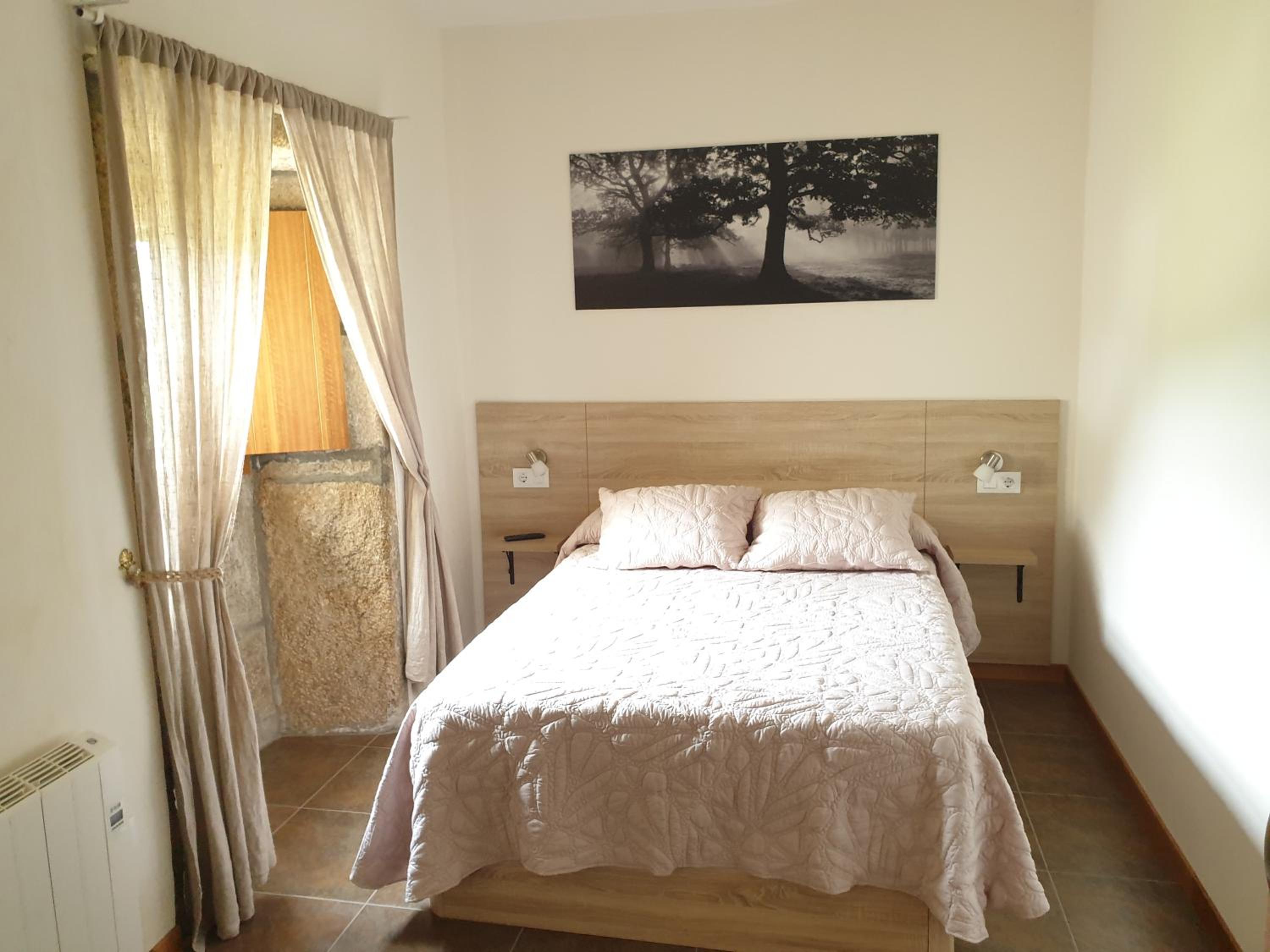
Albergue Rectoral San Mamede da Pena EXCLUSIVE FOR PILGRIMS
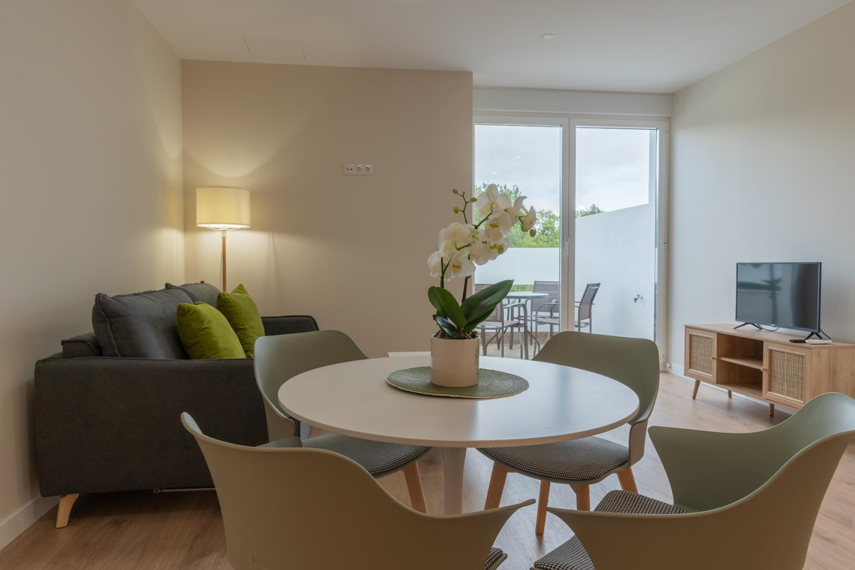
AT Negreira no Camiño
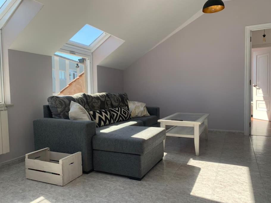
Ático luminoso con terraza
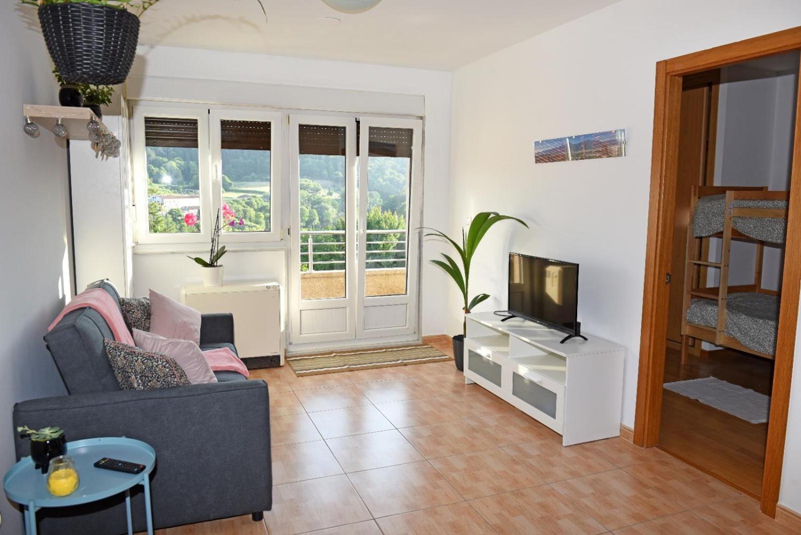
Ávila Apartment - Full Centric Flat with Amazing Views
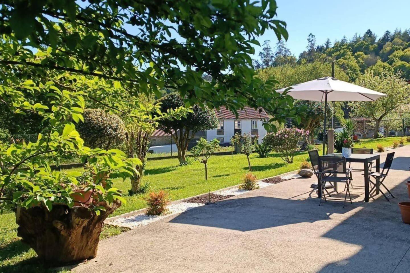
Casa America
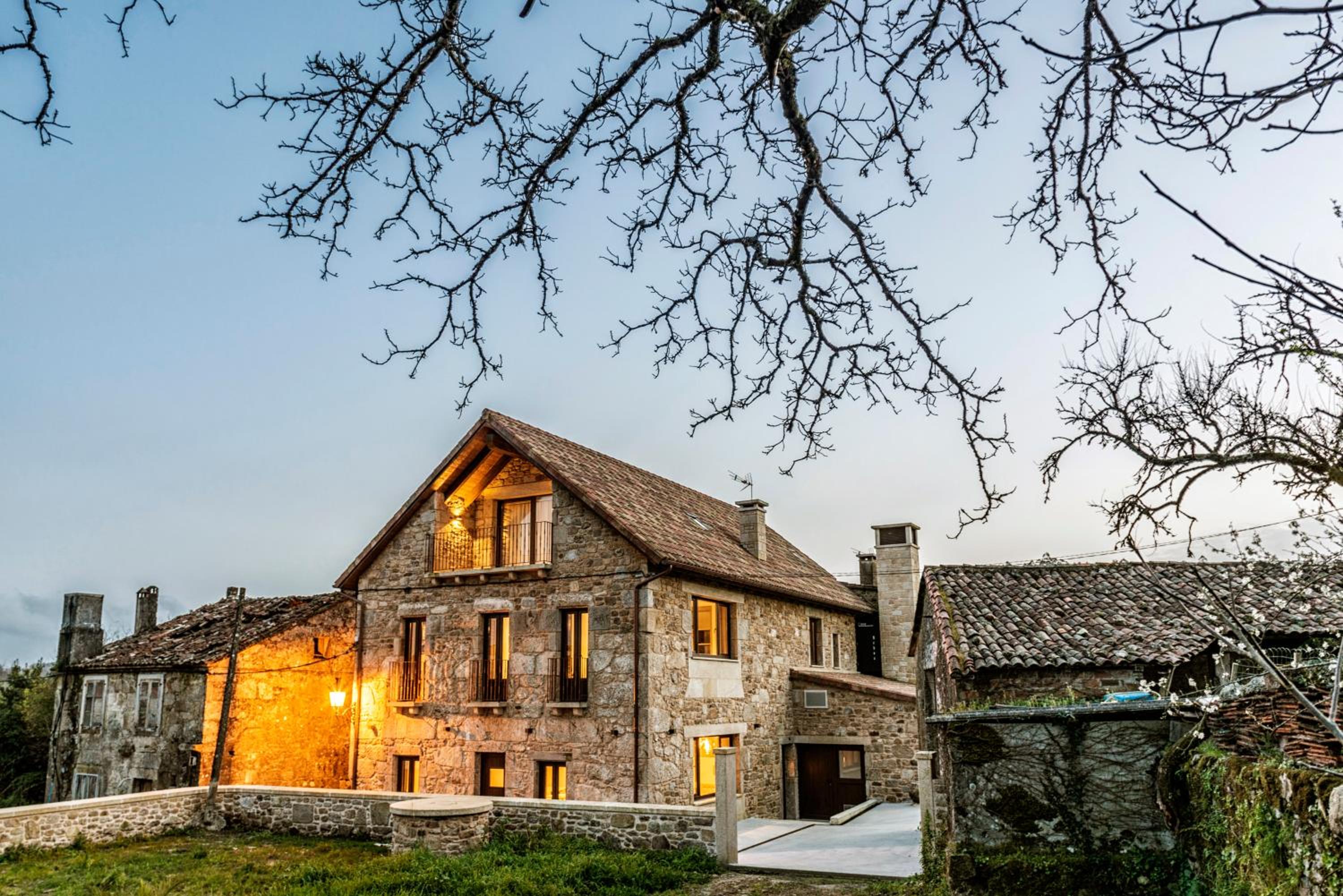
Casa Néboa.
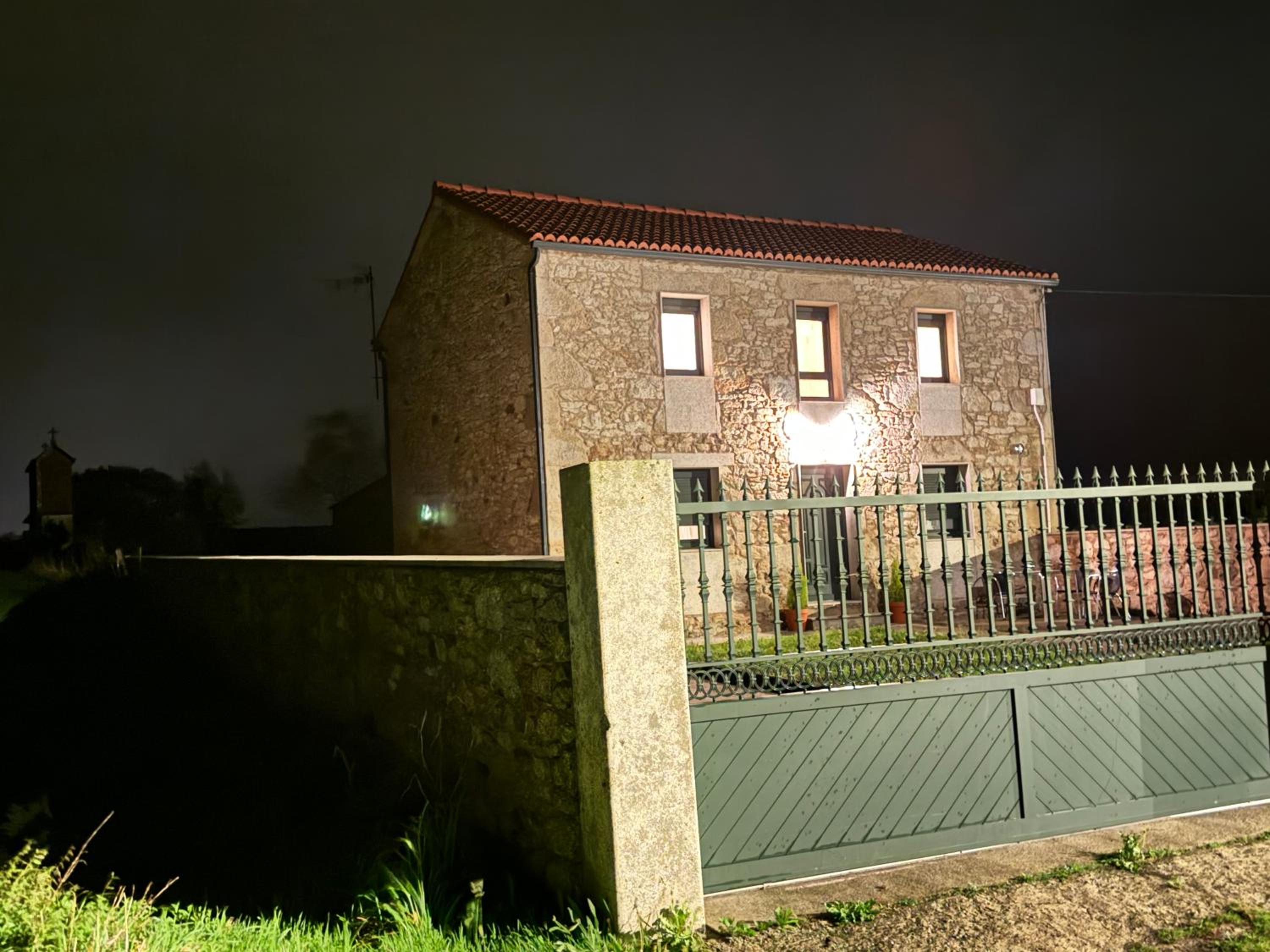
Casa Rural con barbacoa y juegos
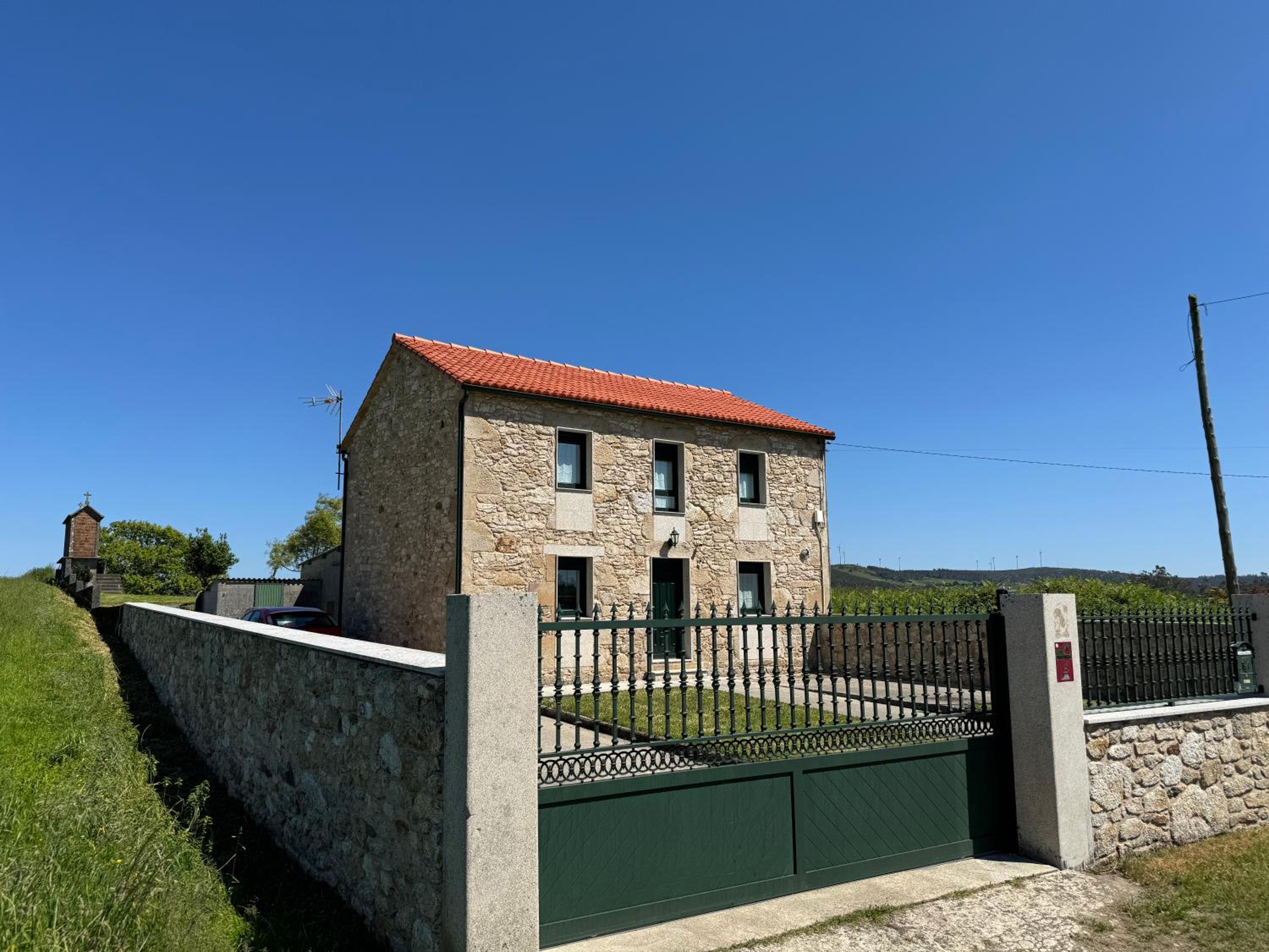
Casa Rural Vieitas - Costa da Morte & Santiago
Gran piso en Negreira
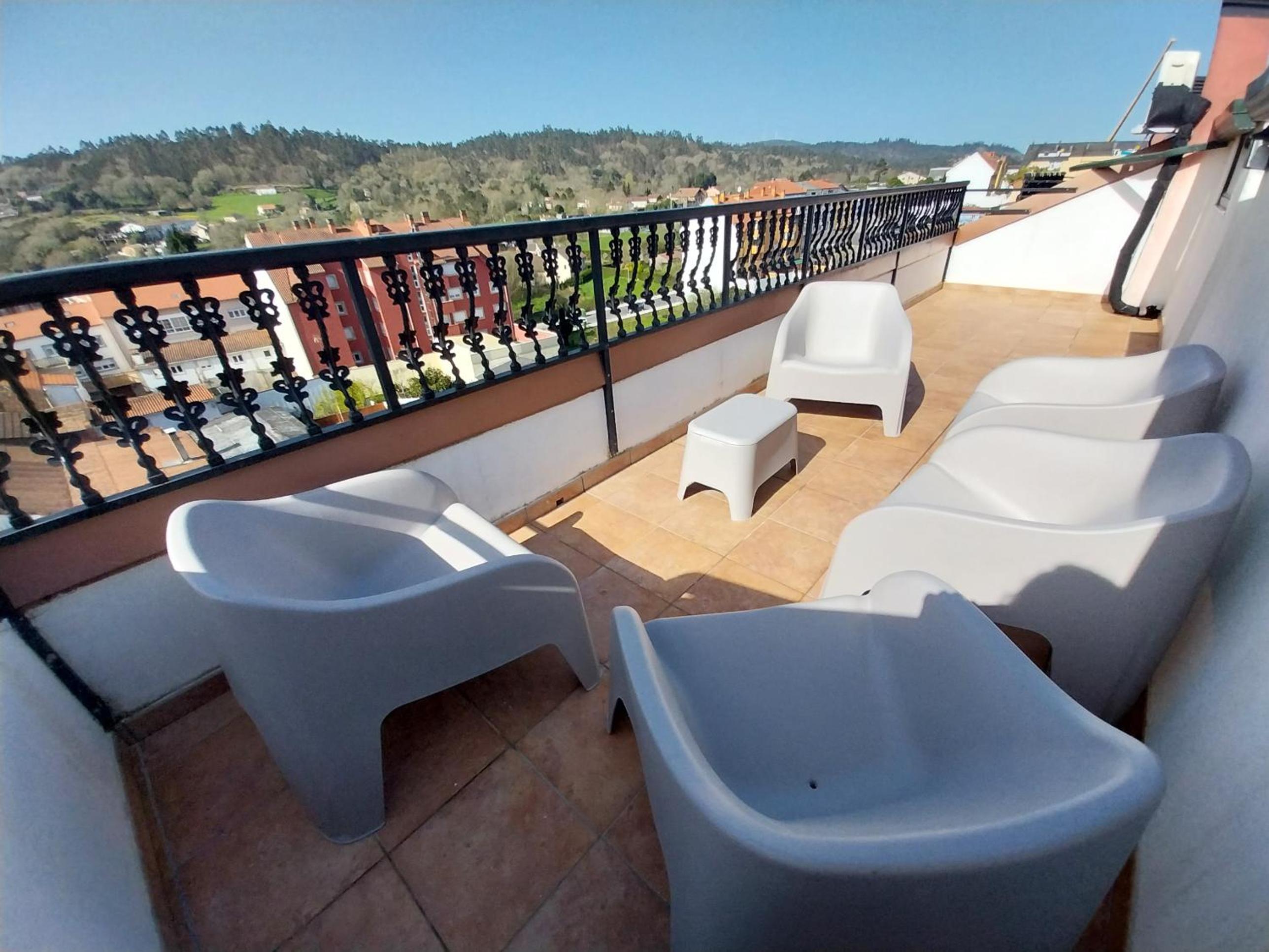
La Parada del Camino Apartamento
Start your adventure
Ready to walk this stage?
We design your personalised Camino de Santiago experience.
Plan your CaminoWalk this route with us
We take care of every detail
Accommodation booked stage by stage, your backpack waiting when you arrive and someone on the phone if anything goes wrong.