Origin
Destination
Distance
25.40 km
Duration
6.50 h
Difficulty
Media
Ascent
40 m
Stage of the Camino
Stage Description
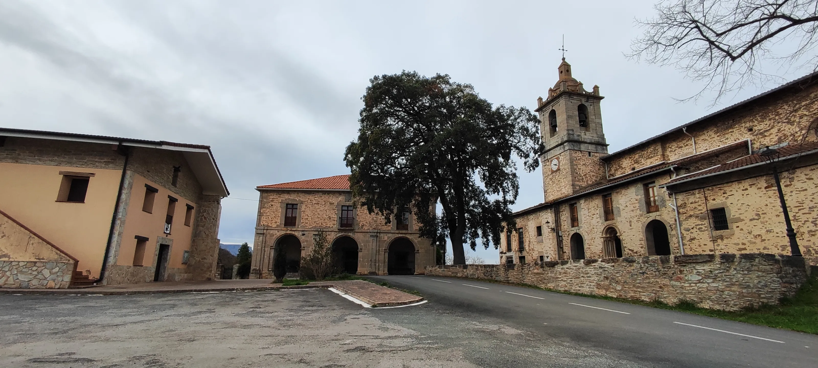
Inland stage through the rural heart of Bizkaia. From Markina-Xemein, the route follows the course of the Artibai River and passes through Bolibar and the monastery of Zenarruza (Ziortza), a 15th century monument that is still an active Cistercian monastery and offers accommodation to pilgrims. After an ascent through forests we descend to the Oka valley to Gernika-Lumo, symbolic city of the Basque people, historic seat of the Casa de Juntas and known worldwide for the bombing of 1937 immortalized by Picasso. Stage of about 24-25 km with undulating profile and lots of Atlantic forest.
The stage between Getafe and Griñón is a continuation of the exit from Madrid's metropolitan area. The profile is completely flat, but the landscape remains a mix of urban and industrial environments, with some open fields. The road passes through the city of Parla, one of the major municipalities in southern Community of Madrid. The route seeks out quieter roads to advance southwards. Arrival at Griñón marks a change. Although it still belongs to the metropolitan area, its atmosphere is much more tranquil and similar to that of a village. It offers the pilgrim a well-deserved rest in a more relaxed environment. This stage is one of transition, preparing the walker for entering the plains of Toledo province.
Last updated: 15/05/2026
Where to Sleep
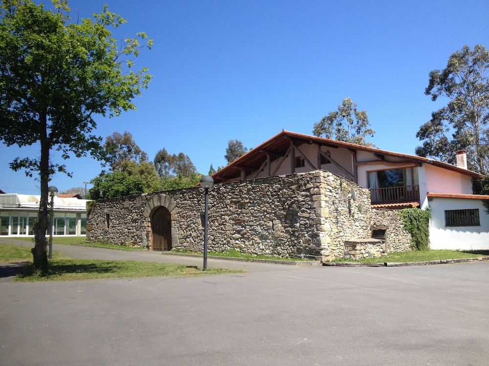
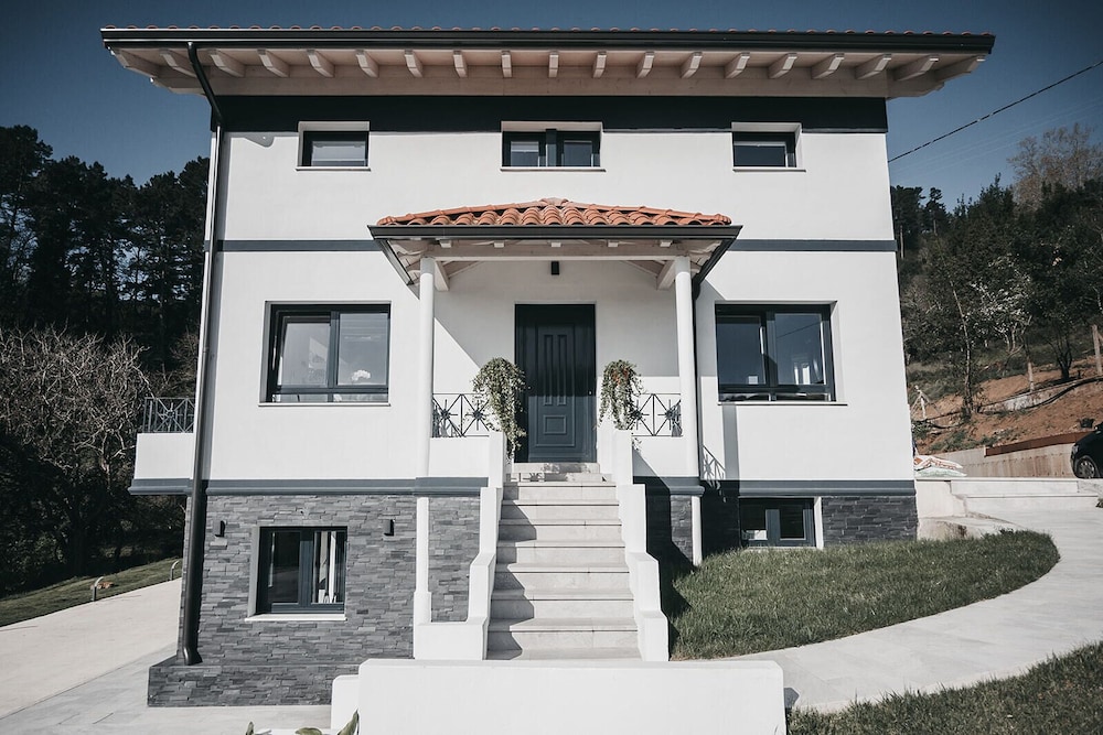
Accommodations in this Stage
Find the perfect place for your rest in Markina-Xemein o Gernika.
Start your adventure
Ready to walk this stage?
We design your personalised Camino de Santiago experience.
Plan your Camino