Origin
Destination
Distance
23.50 km
Duration
6.50 h
Difficulty
Media
Ascent
290 m
Descent
330 m
Stage of the Camino
Stage Description
This stage rejoins the Central Portuguese Way on the banks of the river Louro, in the Tui parish of Ribadelouro, to take on a long day of transition towards the Ría de Vigo. The route first runs through the natural area of As Gándaras, a shady boardwalk variant that avoids much of O Porriño's vast industrial estate, the largest in Galicia. After crossing O Porriño, the Way climbs gently towards Mos and faces the only serious ascent of the day: the slope up to the chapel of Santiaguiño de Antas, gaining nearly 150 metres of elevation. From there the descent is continuous, among hamlets, granaries and eucalyptus woods, down to Redondela, the "town of the viaducts", overlooking the head of the Ría de San Simón. It is a stage that is comfortable in profile but demanding in length.
The stage links the bank of the Louro with the heart of the Rías Baixas over some 27 kilometres, making it one of the longest days of the Central Portuguese Way in its Galician section. It sets off in Ribadelouro, the first parish the pilgrim reaches after leaving Tui, beside the Ponte das Febres bound to the memory of Saint Telmo. The profile is mostly flat in its first half and only steepens on one central slope, but its mileage advises an early start and careful pacing.
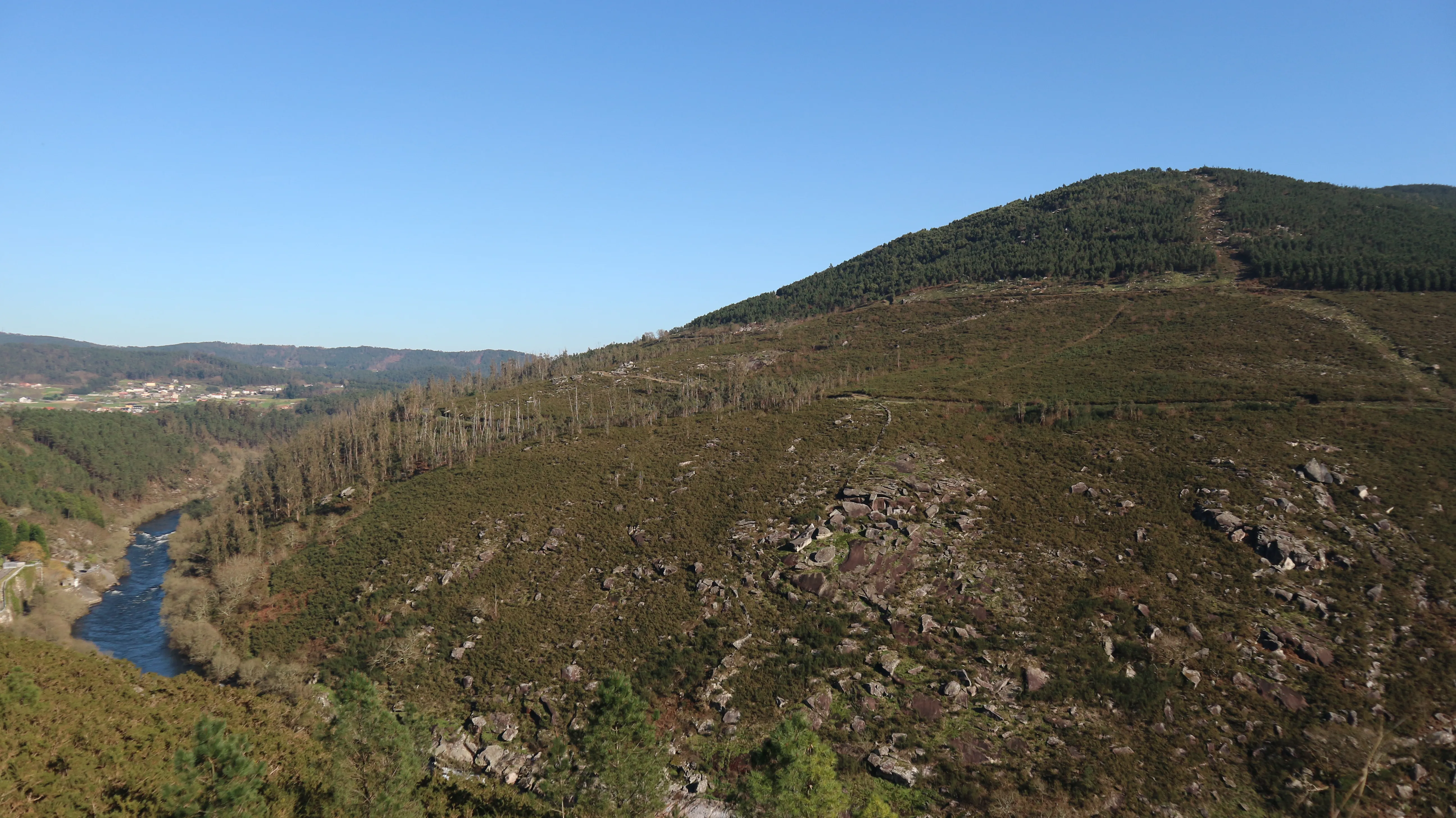
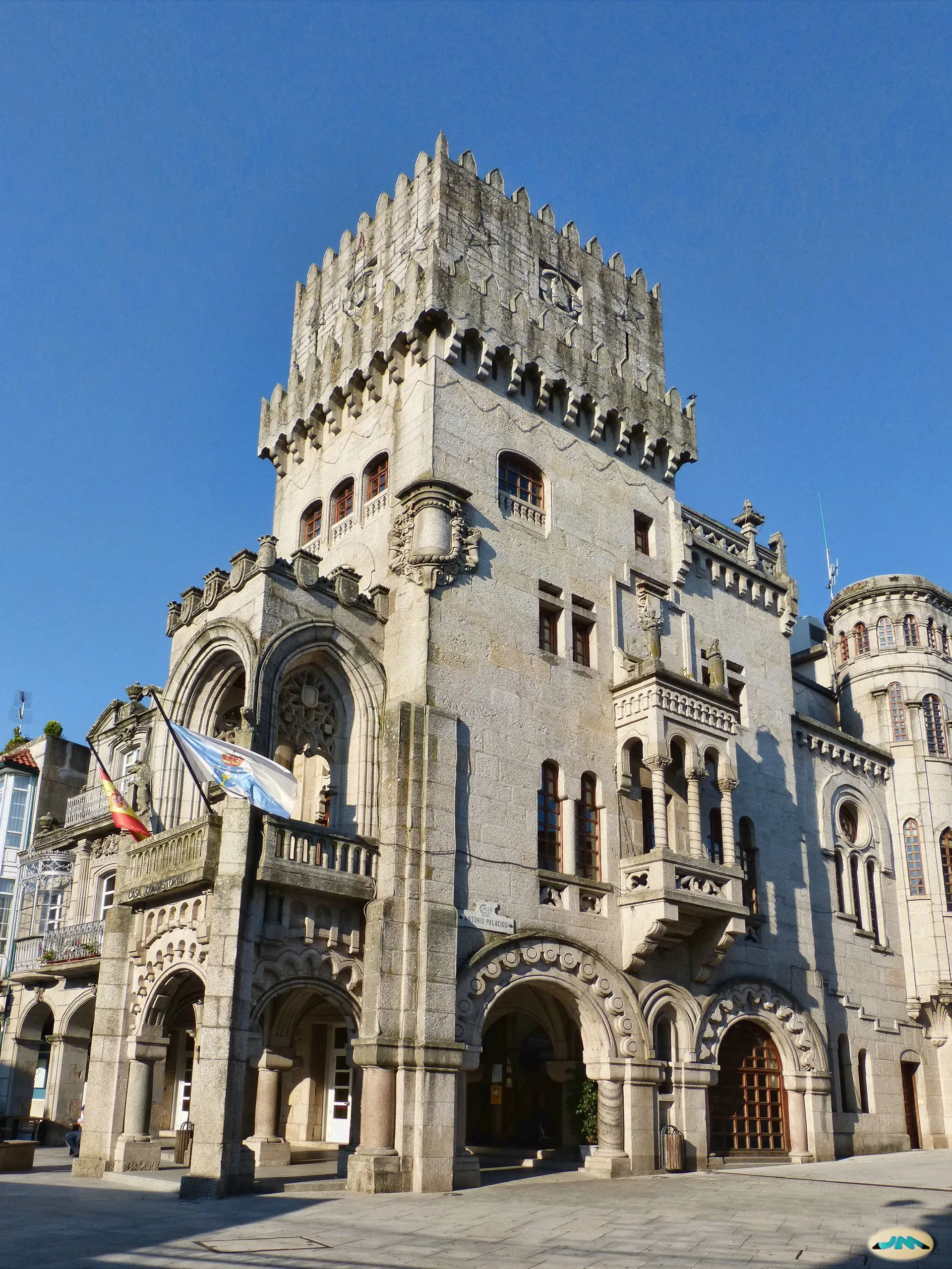
The first stretch runs through the natural area of As Gándaras do Louro, a protected wetland of the Natura 2000 Network where the river traces meanders among alders and wooden boardwalks. This variant, opened in 2013, allows walking in the shade and dodging much of the asphalt and noise of O Porriño's industrial estate, the largest in Galicia. The Way emerges into the town centre of O Porriño, presided over by the town hall, the work of architect Antonio Palacios, an illustrious son of the town.
Beyond O Porriño, the route turns north and climbs gradually to Mos, where the church of Santa Eulalia and the chapel of Santa Marta, with its traditional stamp for the credential, are worth a stop. From the Mos hostel begins the only serious ascent of the day: a little over three kilometres and nearly 150 metres of elevation gain up to the chapel of Santiaguiño de Antas, the high point of the stage. The effort is rewarded with the first views of the valley and the sense of having left the flatland behind.
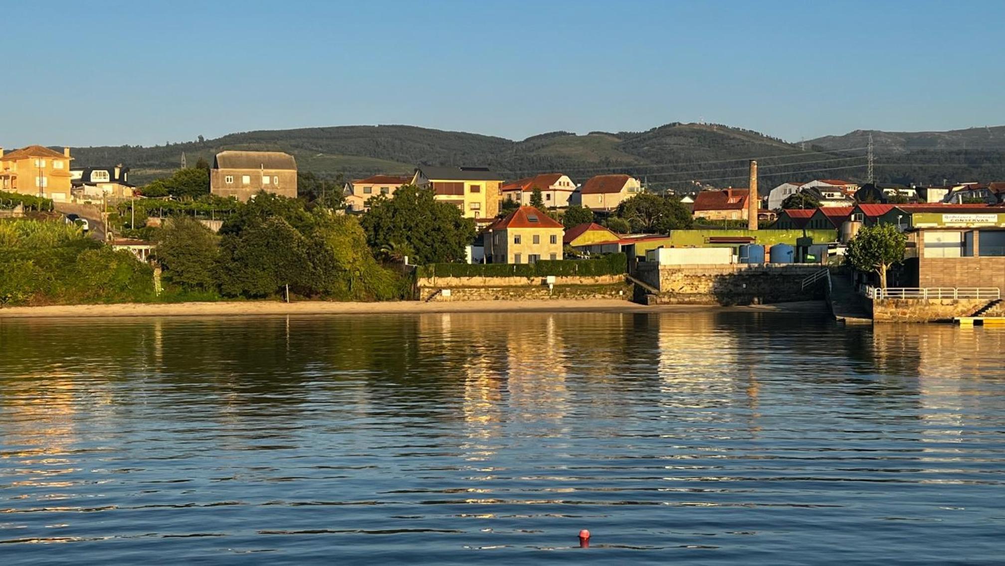
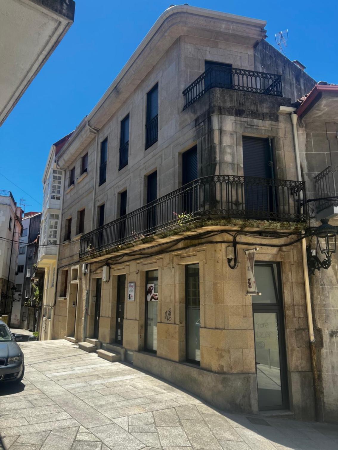
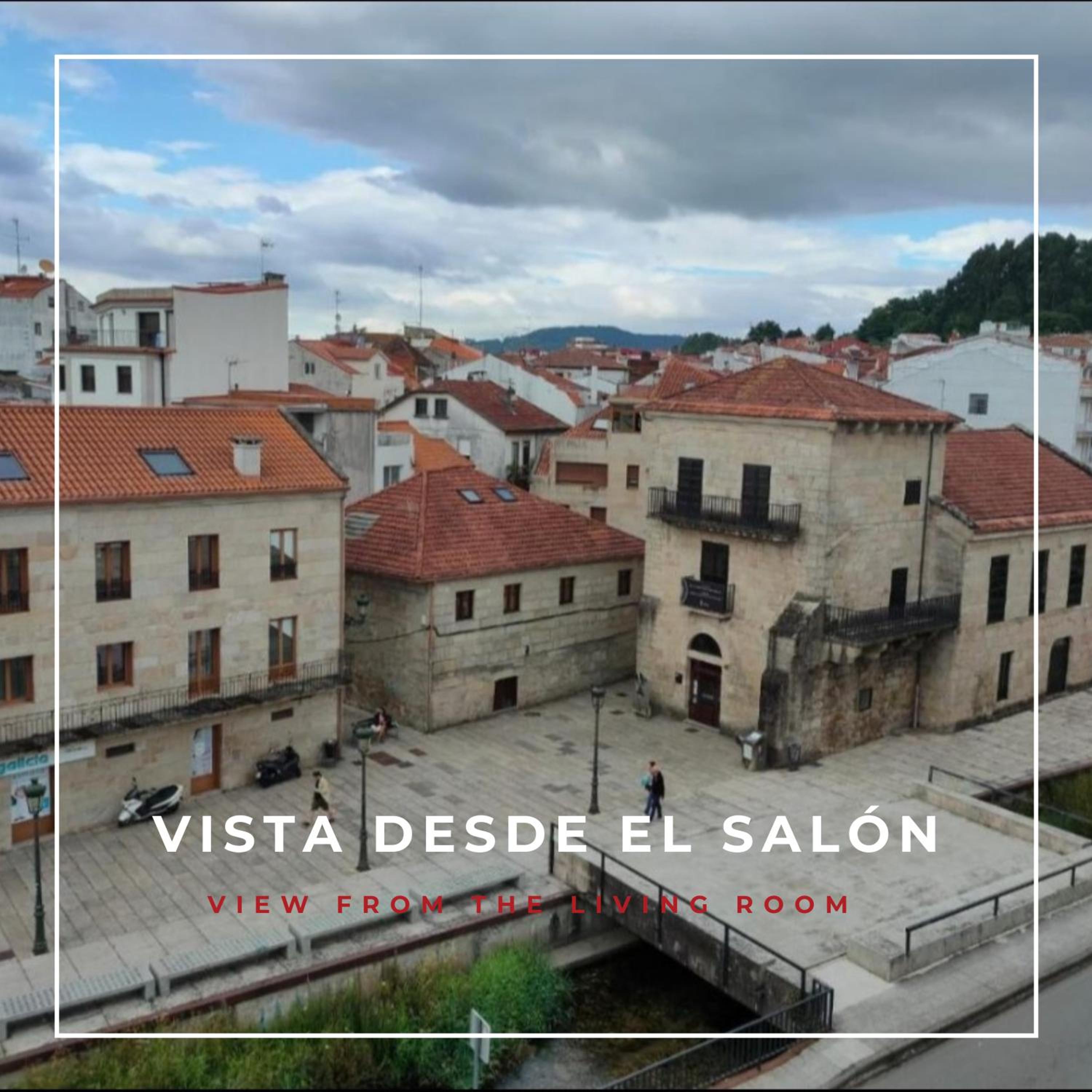
From Santiaguiño, the Way begins a continuous and pleasant descent that crosses small hamlets, granaries and eucalyptus woods, with some stretches of cobbled path. The route keeps losing height until it looks out over the head of the Ría de San Simón and enters Redondela. Known as the "town of the viaducts" for the two imposing railway structures that soar above it, Redondela welcomes the pilgrim with its old quarter, its arcades and a full range of hostels. It is the natural end of the day and the prelude to the beautiful coastal stage towards Pontevedra.
The first stretch runs through the natural area of As Gándaras do Louro, a protected wetland of the Natura 2000 Network where the river traces meanders among alders and wooden boardwalks. This variant, opened in 2013, allows walking in the shade and dodging much of the asphalt and noise of O Porriño's industrial estate, the largest in Galicia. The Way emerges into the town centre of O Porriño, presided over by the town hall, the work of architect Antonio Palacios, an illustrious son of the town.
Beyond O Porriño, the route turns north and climbs gradually to Mos, where the church of Santa Eulalia and the chapel of Santa Marta, with its traditional stamp for the credential, are worth a stop. From the Mos hostel begins the only serious ascent of the day: a little over three kilometres and nearly 150 metres of elevation gain up to the chapel of Santiaguiño de Antas, the high point of the stage. The effort is rewarded with the first views of the valley and the sense of having left the flatland behind.
From Santiaguiño, the Way begins a continuous and pleasant descent that crosses small hamlets, granaries and eucalyptus woods, with some stretches of cobbled path. The route keeps losing height until it looks out over the head of the Ría de San Simón and enters Redondela. Known as the "town of the viaducts" for the two imposing railway structures that soar above it, Redondela welcomes the pilgrim with its old quarter, its arcades and a full range of hostels. It is the natural end of the day and the prelude to the beautiful coastal stage towards Pontevedra.
Last updated: 11/06/2026
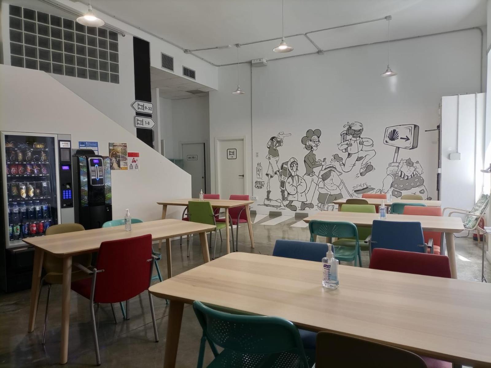
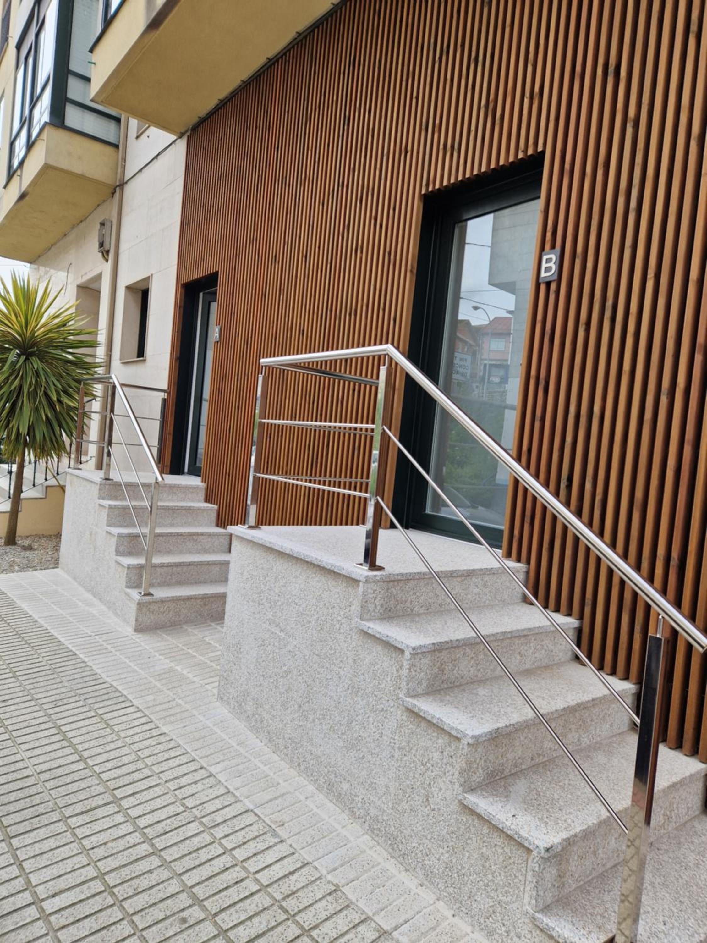
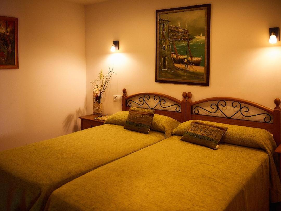
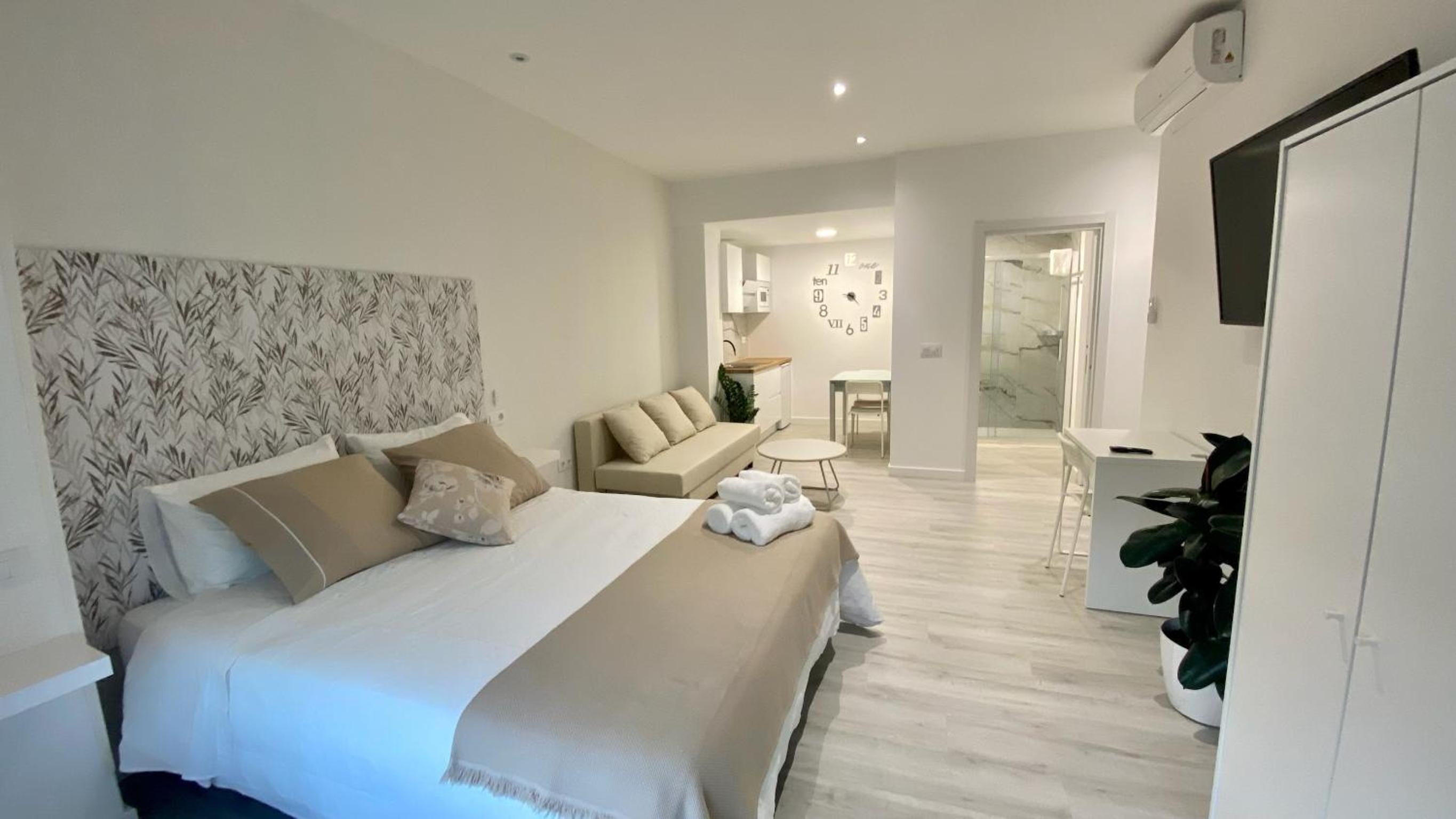
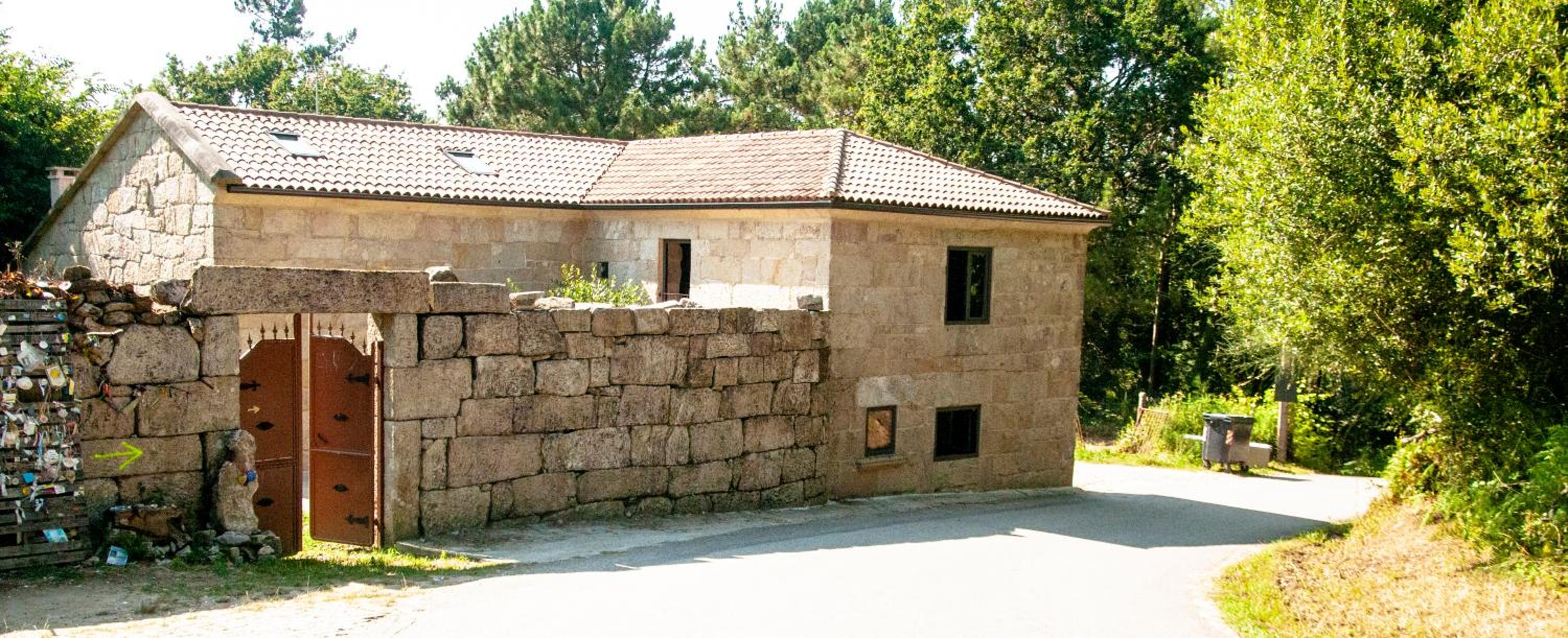
Where to Sleep
Accommodations in this Stage
Find the perfect place for your rest in Ribadelouro o Redondela.

GBC Arcade
A BOA ESTRELA Pensión
A Casa do Choco
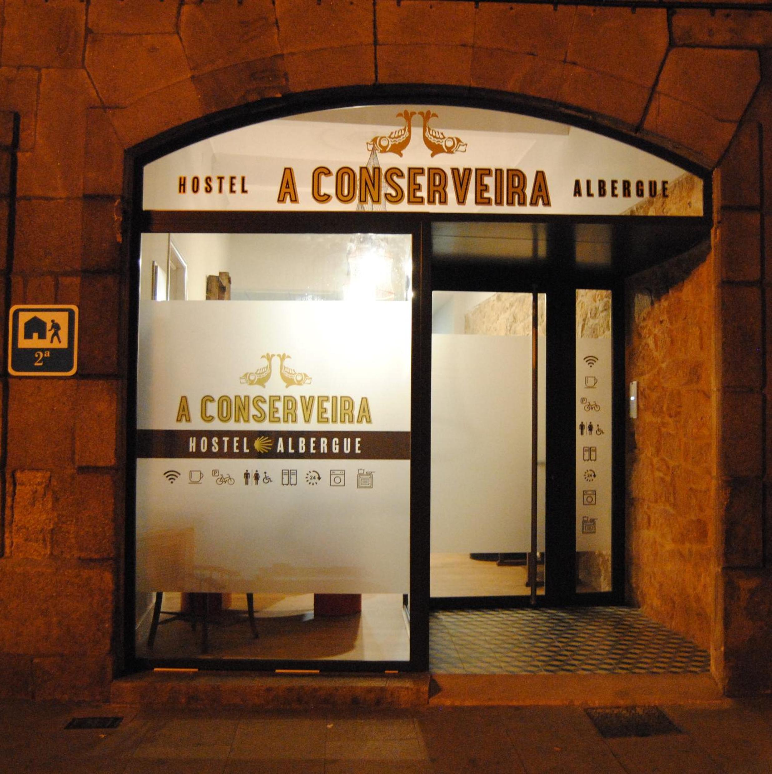
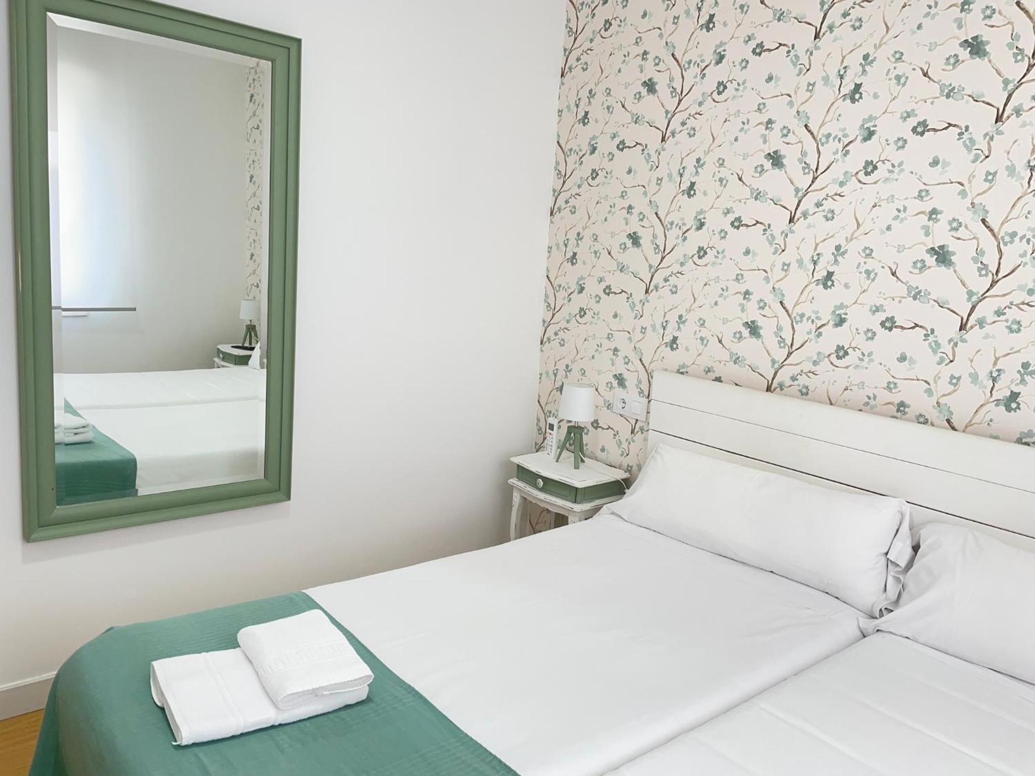
A Conserveira
Albergue A ROTONDA
Albergue Avoa Regina
Alfonso XII
Apartamentos Redondela - A Casa da Praia
Apartamentos Redondela - Centro histórico
Apartaments Mariña B5
As Chivas
Camiño da Praia
Casa D'Mina
Catapeixe Holiday Apartments
La Casa de la Abuela Boticaria
LAR DE SEFA
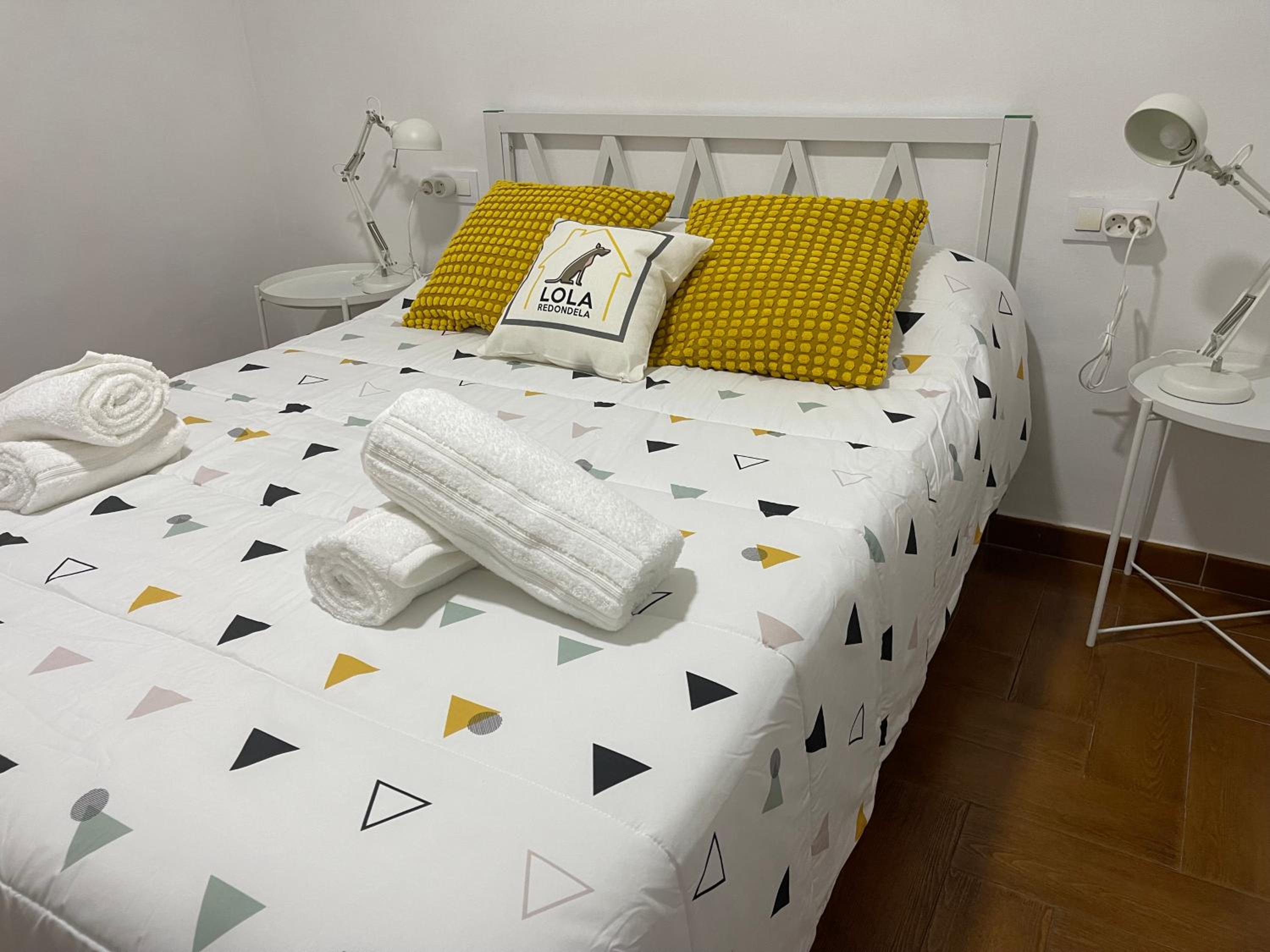
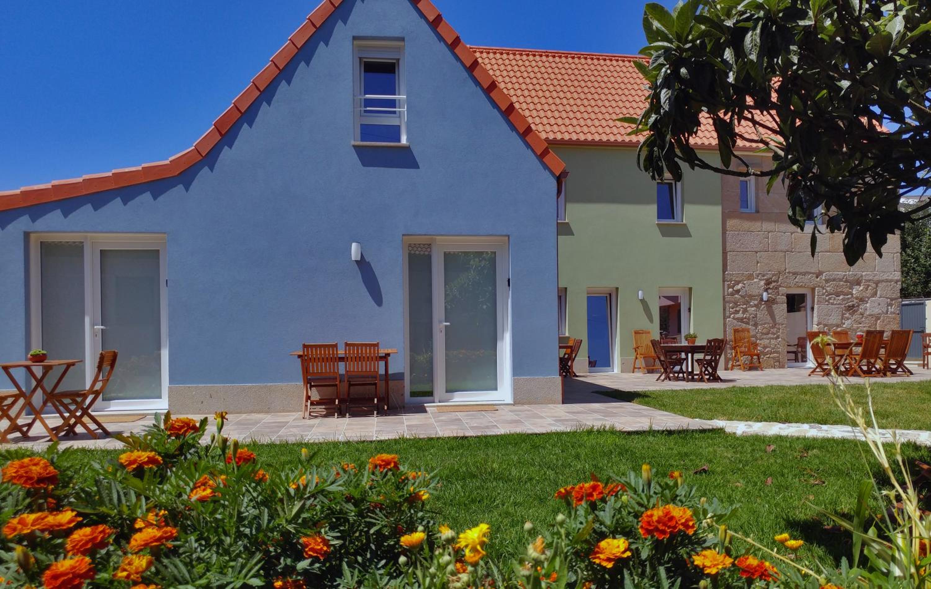
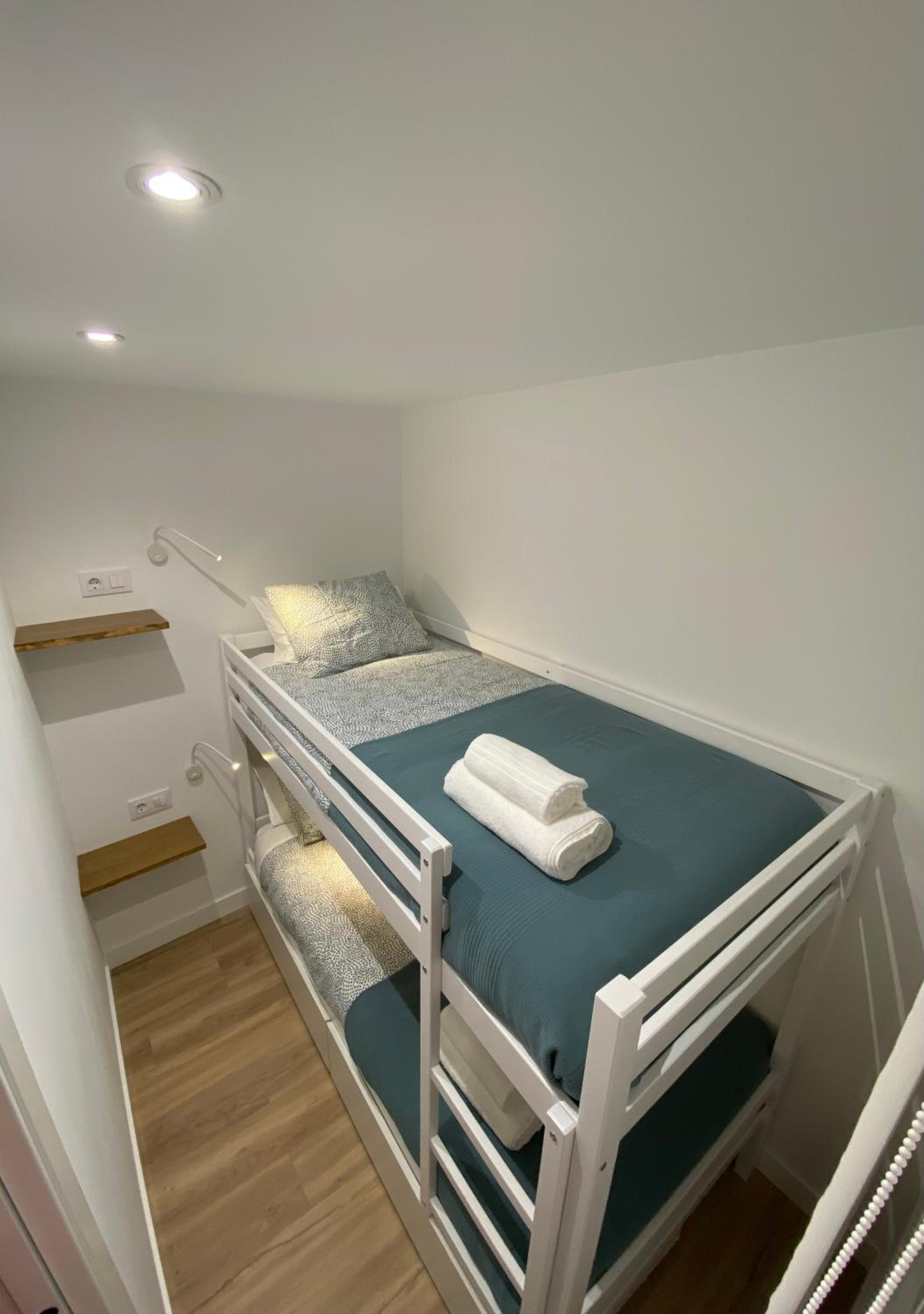
LolaREDONDELA
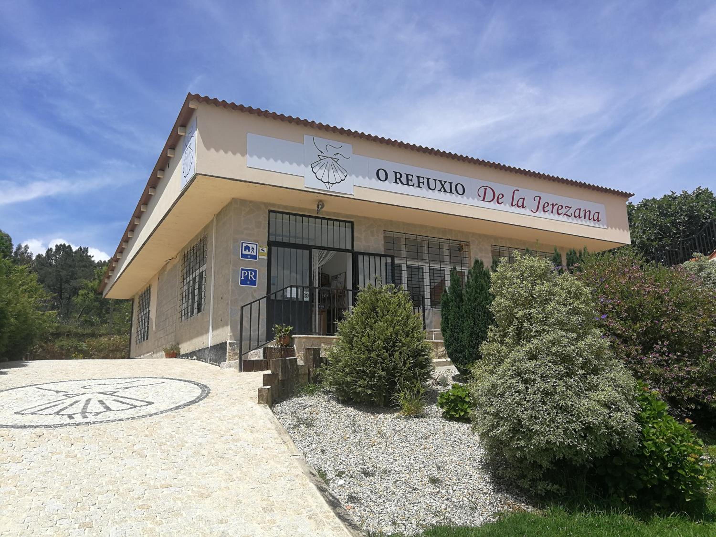
O Refuxio de la Jerezana
Rua do Medio
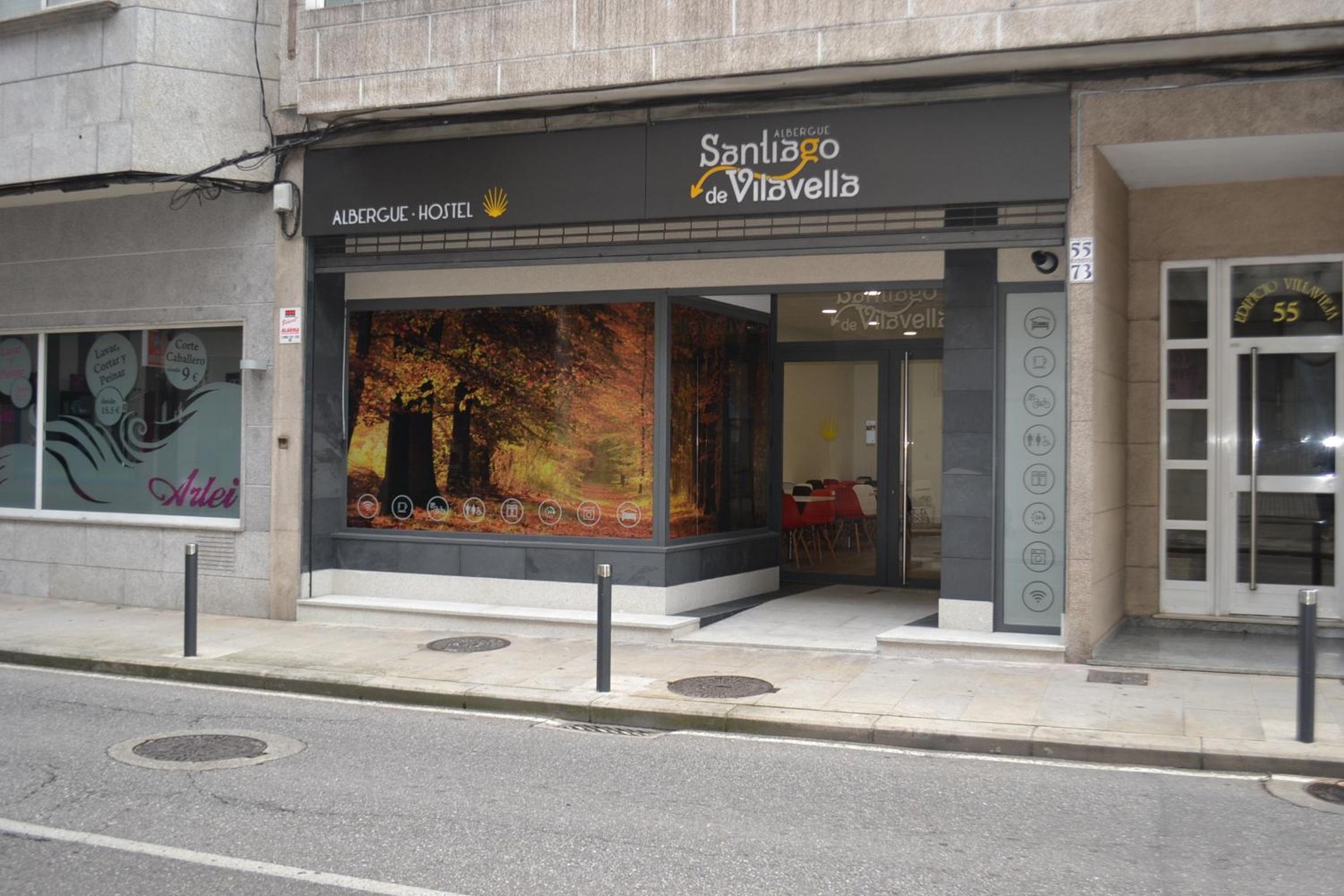
Santiago de Vilavella

A Marisma Hostal
Start your adventure
Ready to walk this stage?
We design your personalised Camino de Santiago experience.
Plan your Camino