
Stage of the Camino
Tolosa to Salvatierra/Agurain (By bike)
From Tolosa To Salvatierra / Agurain
Plan your CaminoOrigin
Destination
Distance
53.00 km
Duration
17.67 h
Difficulty
Hard
Ascent
230 m
Stage of the Camino
Stage Description
Long cycling stage (53 km) that crosses from the Oria valley to the Llanada Alavesa, passing through Beasain, Zegama and the San Adrián pass, a medieval natural tunnel that connects Gipuzkoa with Alava. The route crosses the Aizkorri-Aratz mountain range, with Basque mountain scenery and pastures for latxo cattle. Salvatierra/Agurain is one of the best preserved medieval towns in Alava, founded by Sancho IV the Brave in 1256, with walls, the church-fortress of Santa Maria and a beautiful arcaded square. A demanding stage crossing the Cantabrian Mountains.
This is the longest stage of the English Way by bike, an authentic marathon that requires great endurance. The route crosses rural Galicia, with a very broken and solitary profile. It's a day of overcoming that unites Betanzos with the precursor to Santiago. Arrival in Sigüeiro, on the banks of the Tambre, is the well-deserved rest before the final stage. A test of fire for the pilgrim cyclist.
Last updated: 15/05/2026
Where to Sleep
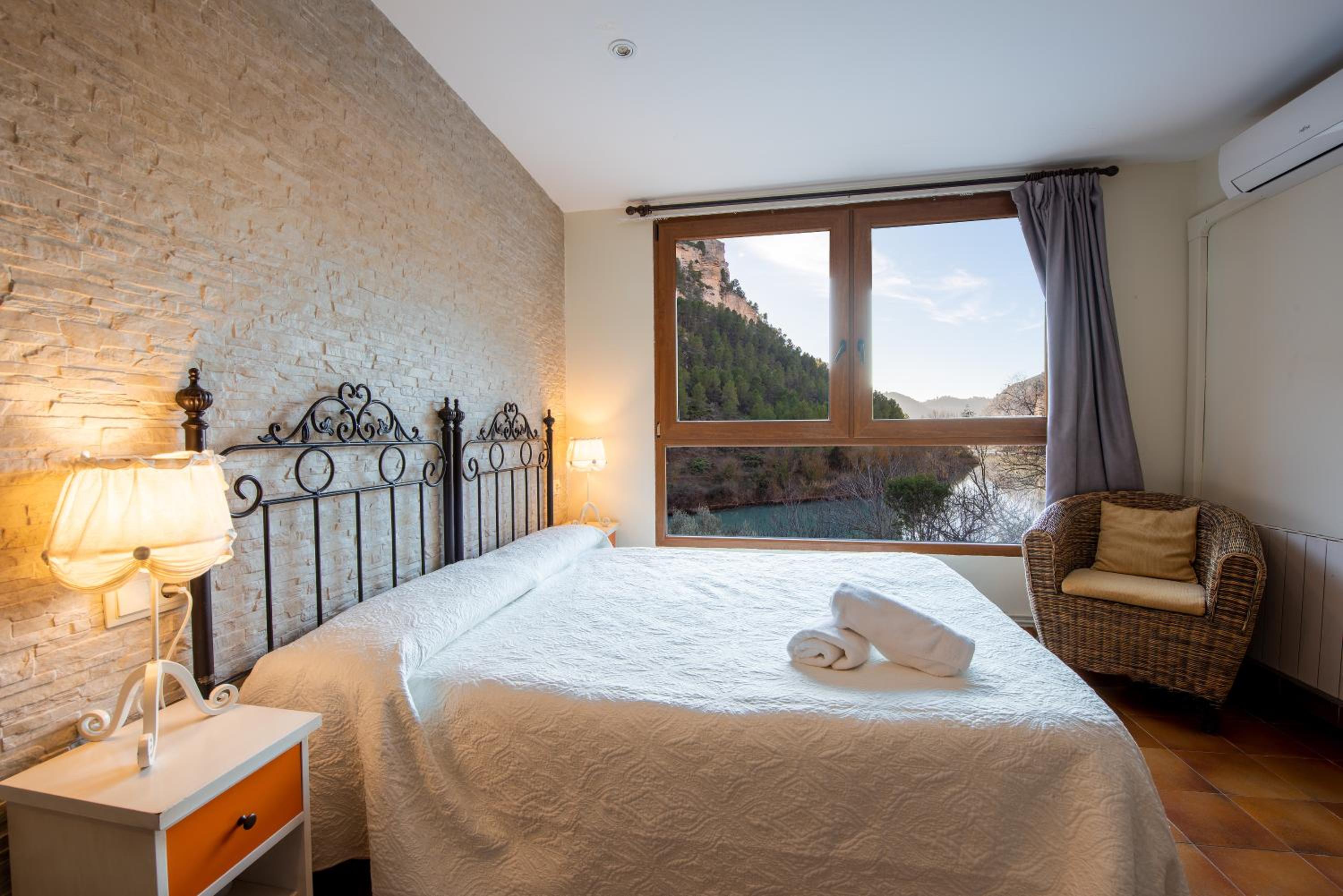
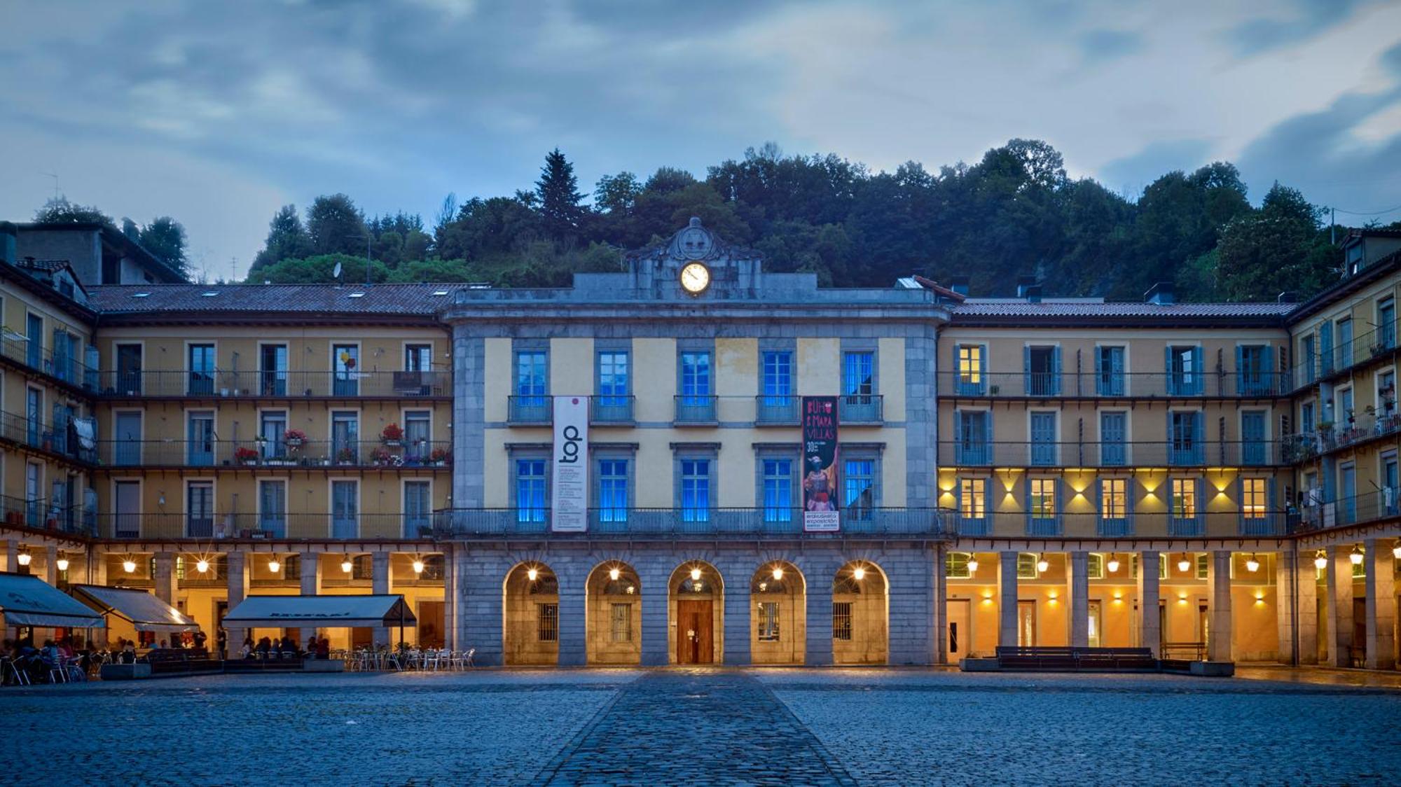
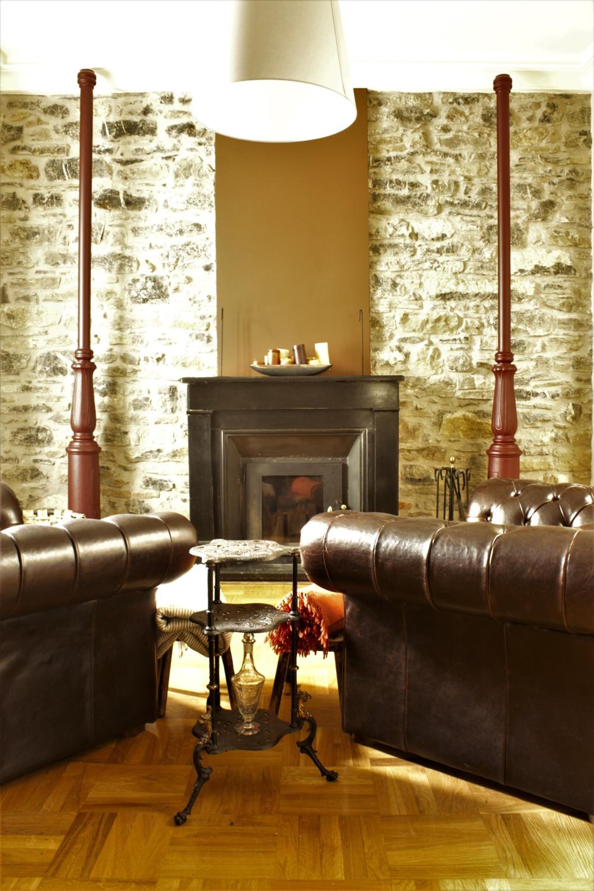
Accommodations in this Stage
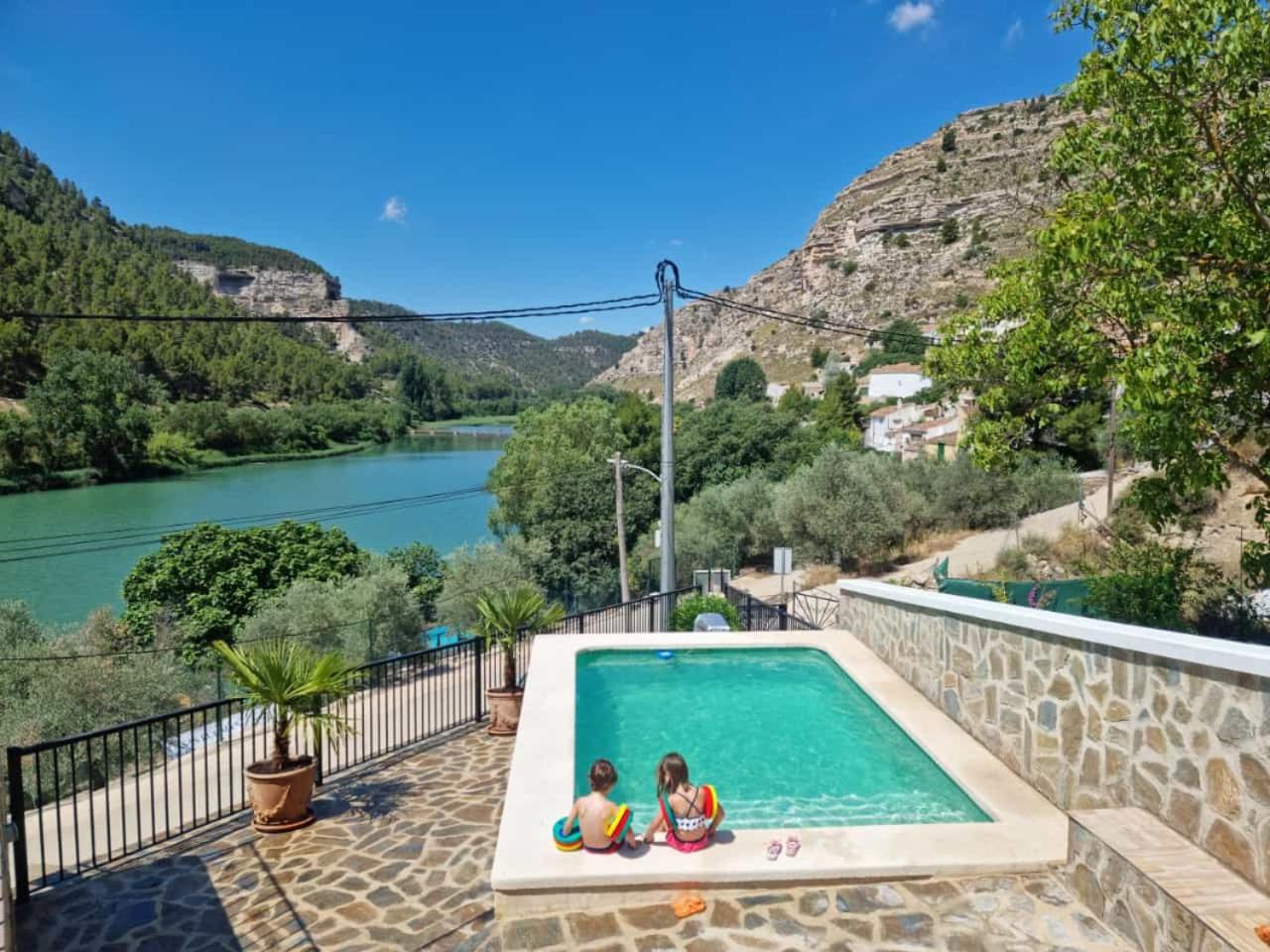
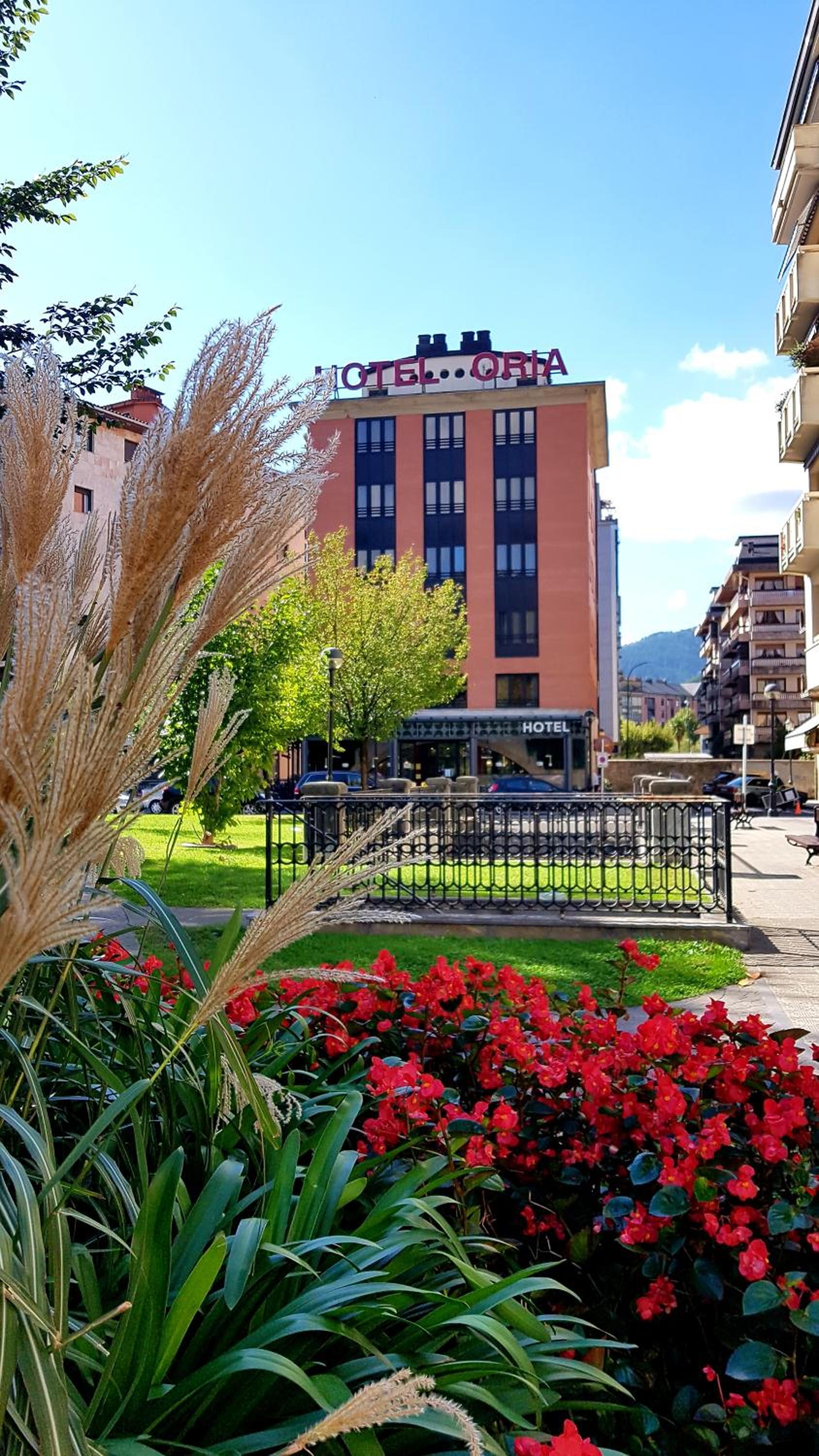
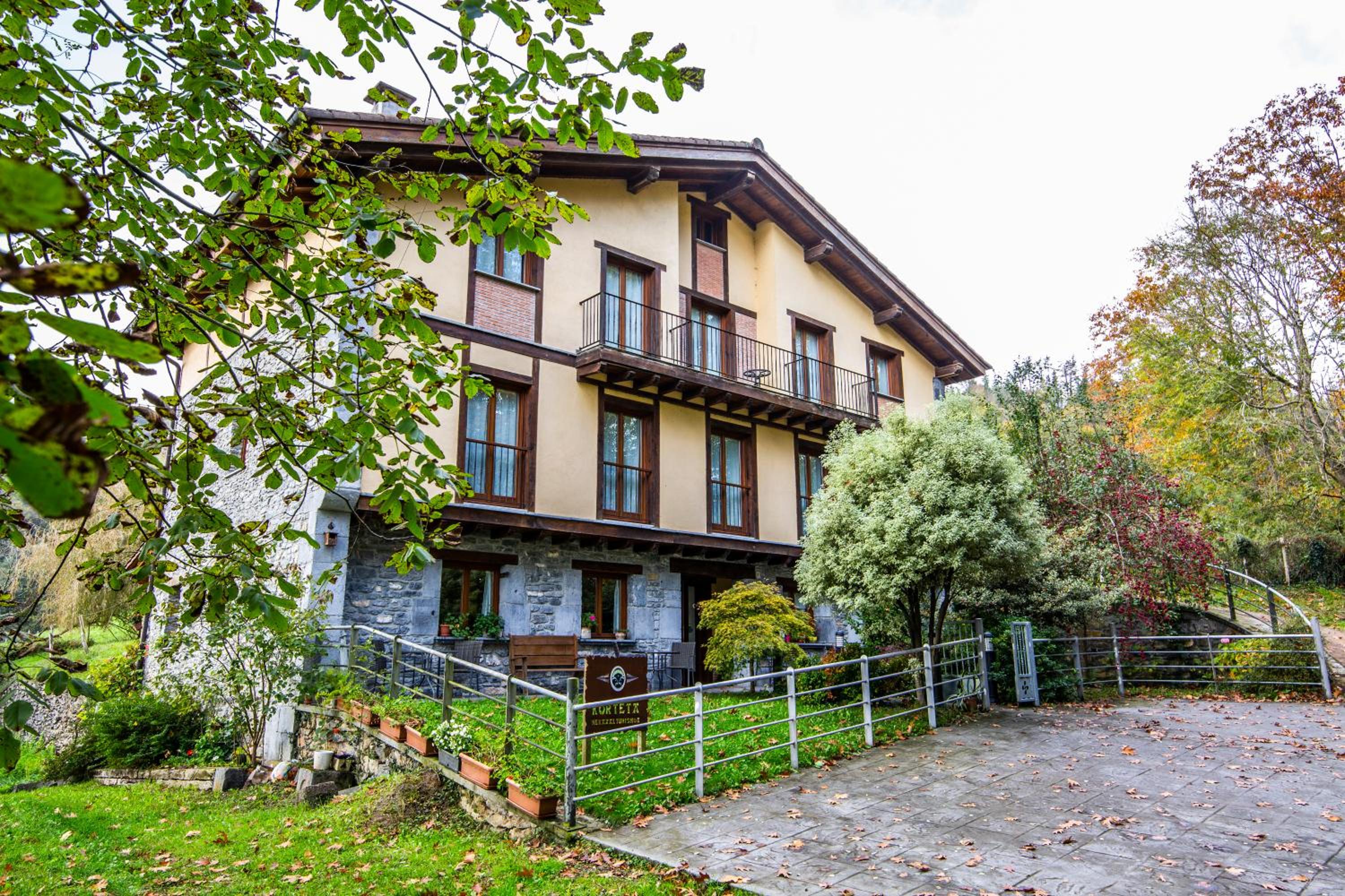
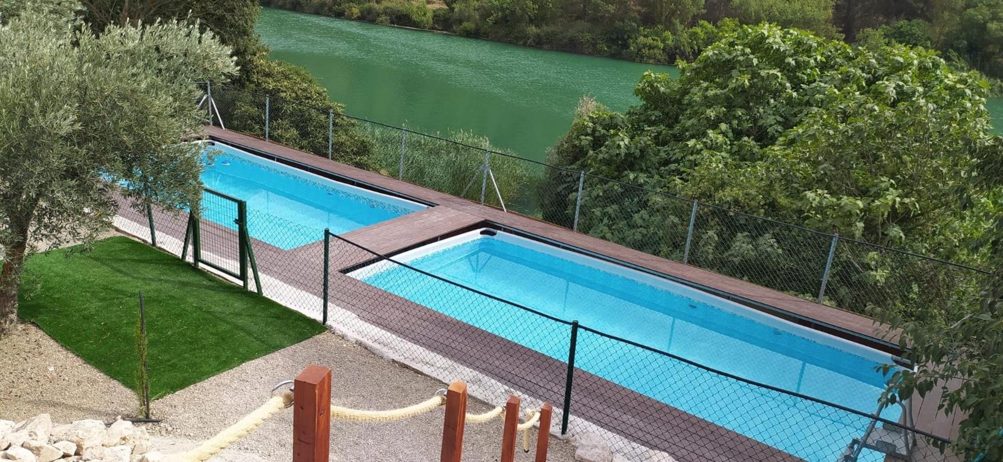
Find the perfect place for your rest in Tolosa o Salvatierra / Agurain.
Start your adventure
Ready to walk this stage?
We design your personalised Camino de Santiago experience.
Plan your CaminoWalk this route with us
Fancy walking this route?
We don't have a ready-made package for this route yet, but we'll organise it around you. Tell us how you'd like to experience it and a specialist will reply within 24 h.
Request your proposal