Complete Guide to Gebennine Way
The Via Gebennensis connects Geneva (Switzerland) with Le Puy-en-Velay (France), linking the Swiss and German routes of the Way of St. James with the Via Podiensis (Way of Le Puy).
Last updated: 28/03/2026
Table of Contents
Technical Summary of Gebennine Way
350 km
Distance
15
days
16
Stages
Media
Difficulty
59 accommodations available on the route
Introduction to Gebennine Way
All Stages of Gebennine Way
Complete route divided into 16 stages
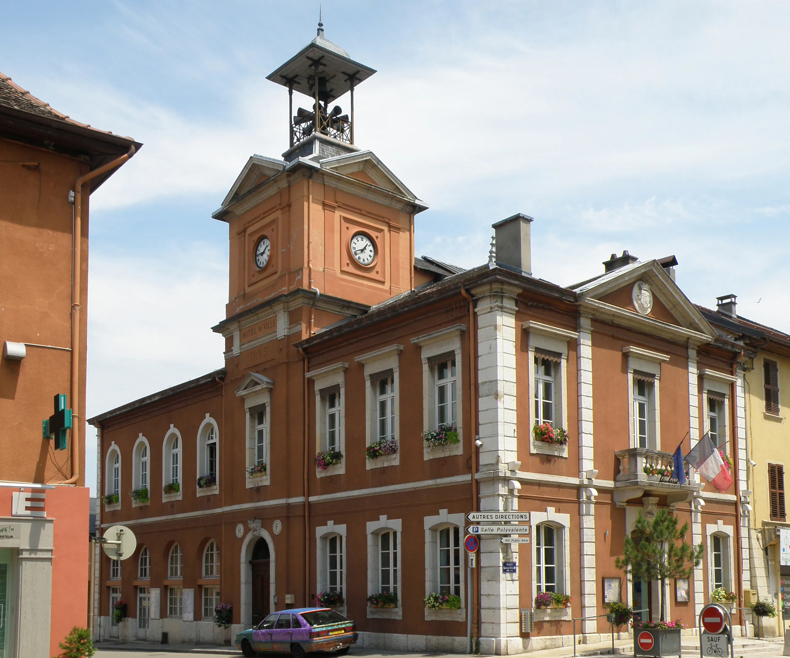
Geneva - Col du Mont-Sion
The initial stage of the Via Gebennensis leaves behind the city of Geneva to ascend gently towards the Col du Mont-Sion. It is a transition day that marks the departure from Switzerland and the entry ...
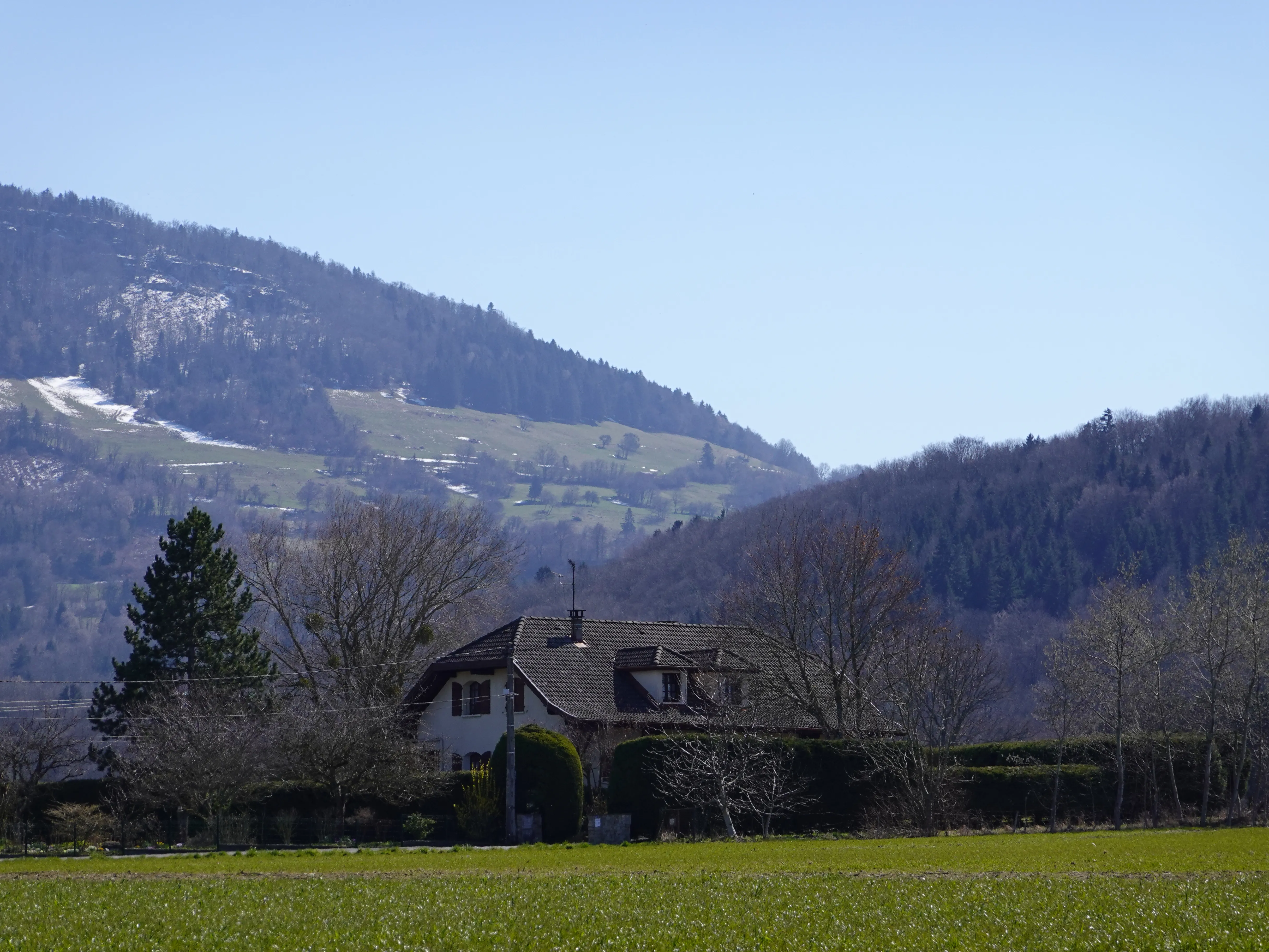
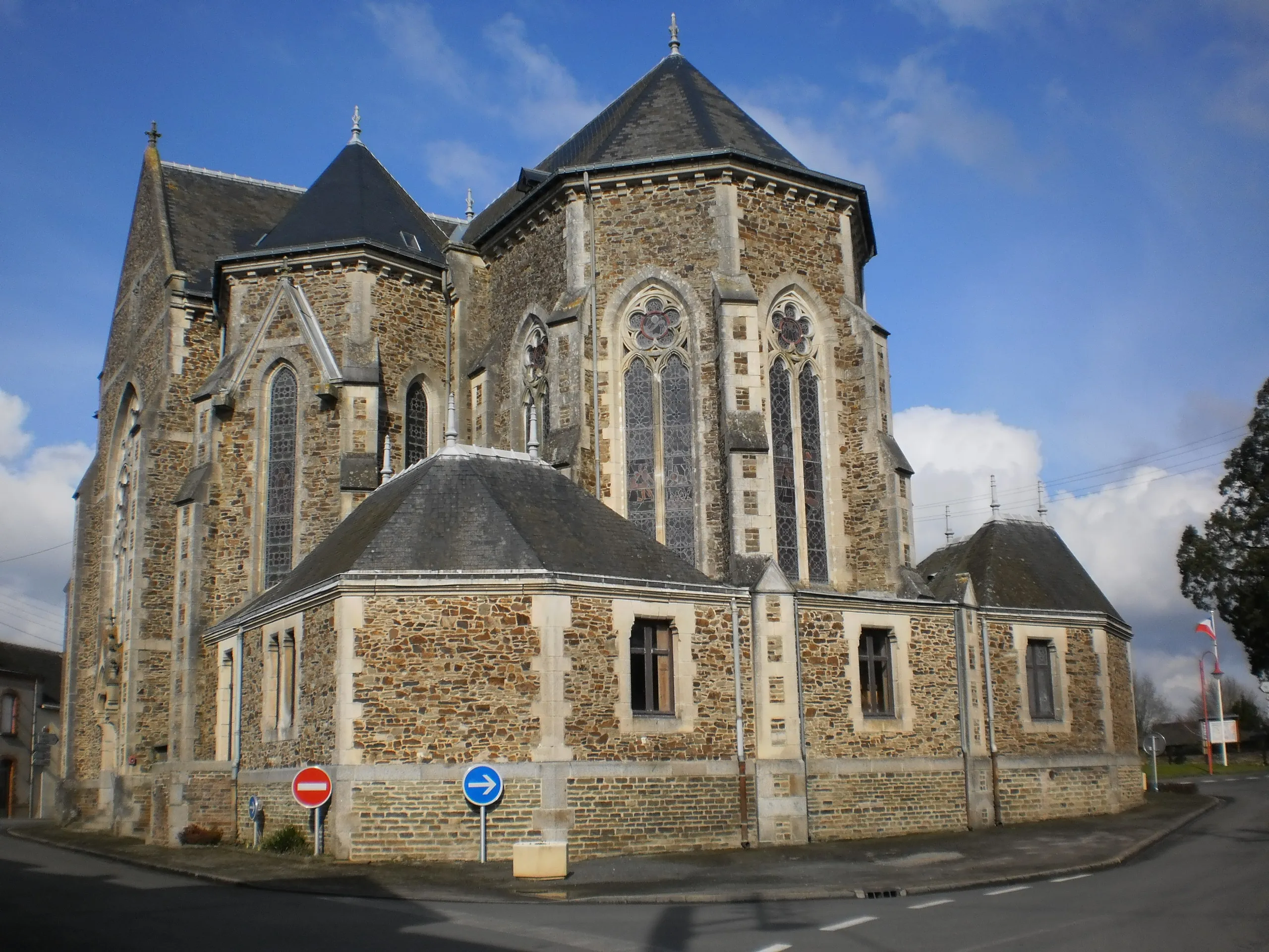
Pass of Mount Sion - Frangy
From the mountain port, the path descends to the village of Frangy, through a landscape of hills and forests. It is an enjoyable stage that allows the pilgrim to get into rhythm and enjoy the tranquil...
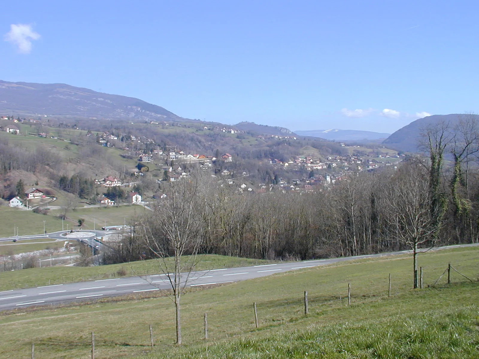
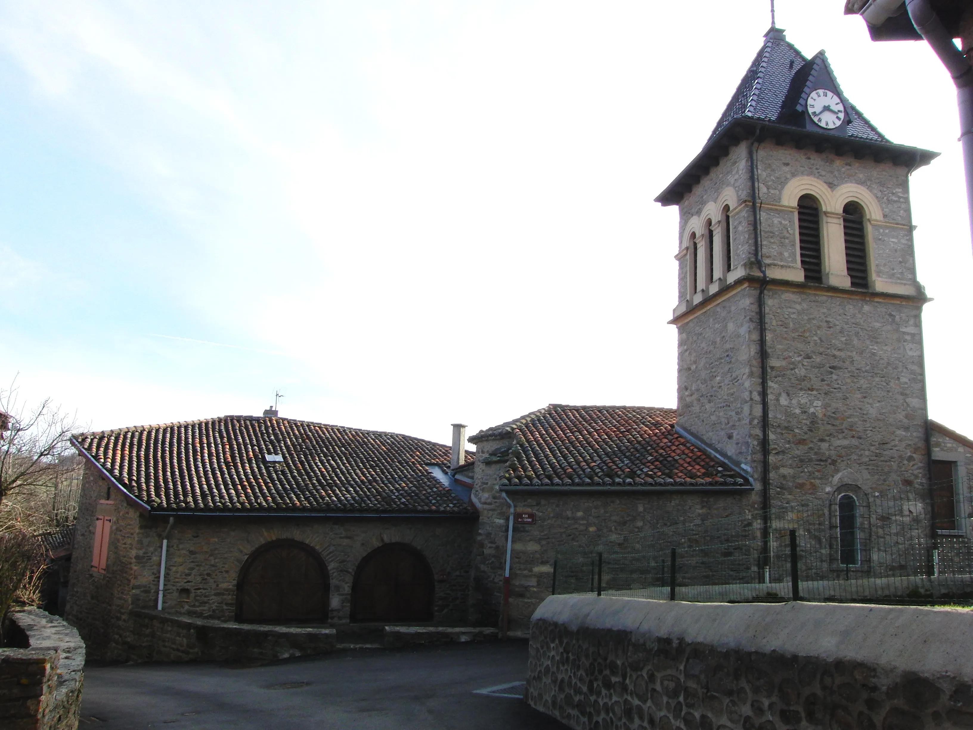
Frangy - Serres-le-Verger
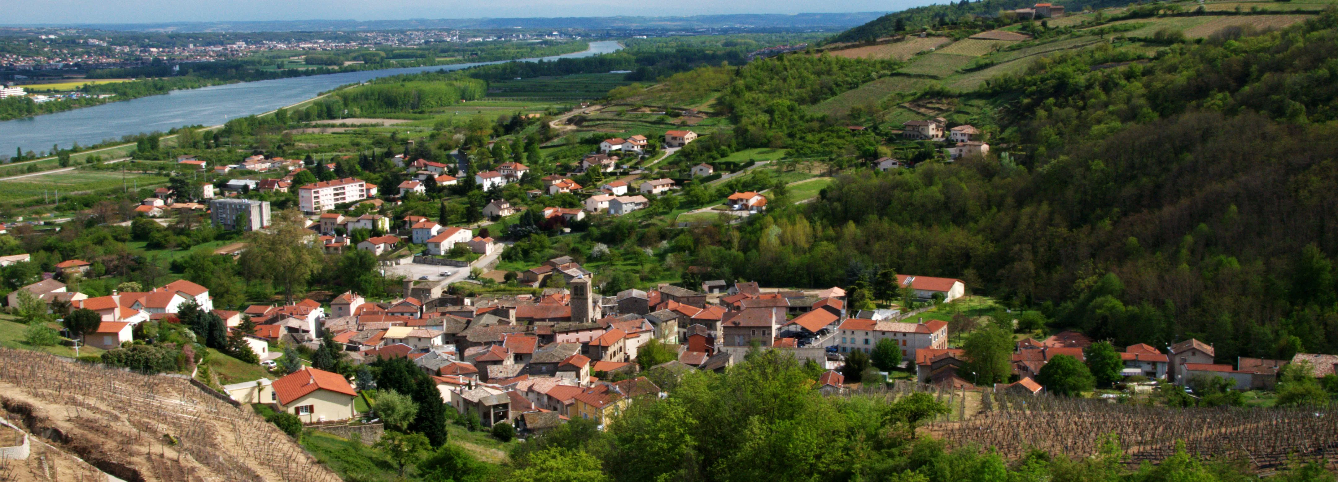
This stage approaches the Rhone River, on an undulating route that crosses the vineyard region of Chautagne. The terrain becomes more rugged, with continuous ups and downs. It is a day of great scenic...
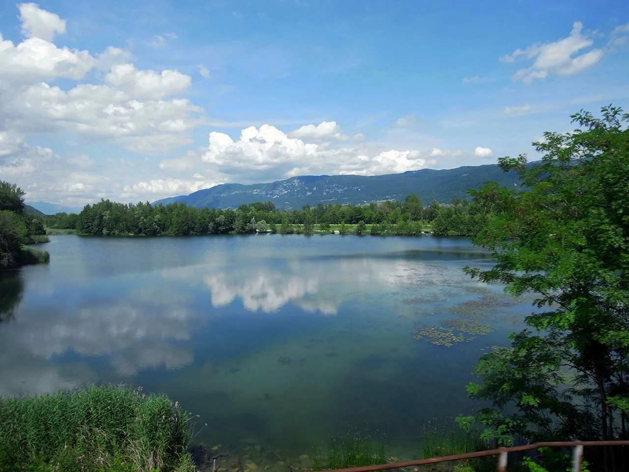
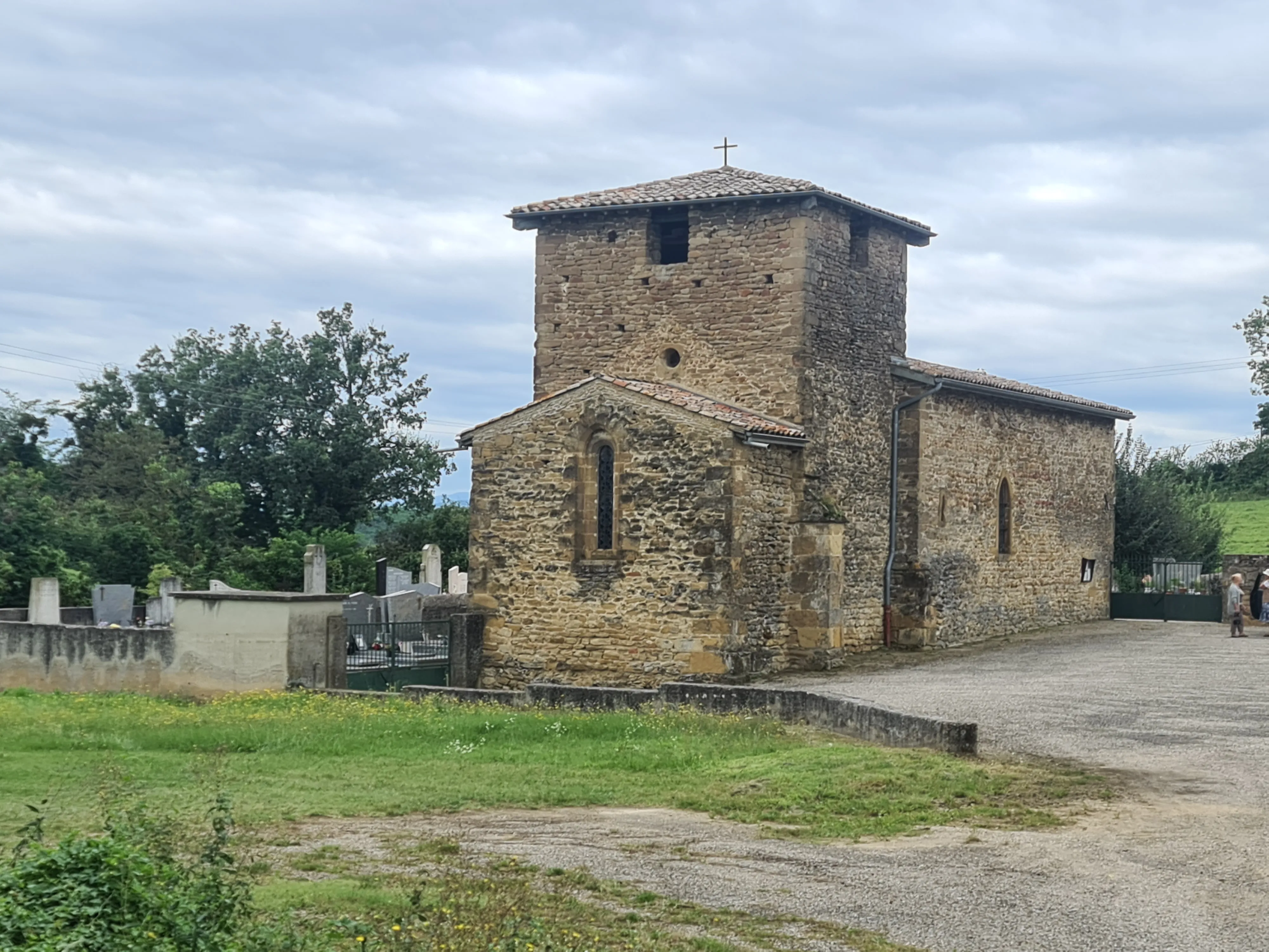
Serres-en-Combaucourt
This is one of the longest stages on the route, which closely follows the course of the Rhone River to the historic city of Yenne. It's a demanding journey due to its distance, but with a mostly flat ...
Yenne - Saint-Genix-sur-Guiers
Leaving Yenne, this stage departs from the Rhone to venture into the interior of Savoy. The route traverses a landscape of hills and valleys, with an undulating and demanding profile. It is a journey ...
Saint-Genix-sur-Guiers - Le Pin
This is another long and challenging stage that takes the pilgrim through the Delft countryside. The route is demanding, with an undulating profile and continuous ups and downs. The landscape is of gr...
Le Pin - La Côte-Saint-André
At this stage, the terrain becomes considerably smoother. The road crosses the vast agricultural plain of Bièvre, a landscape of open horizons and fields of cultivation. It's a long but flat journey i...
Côte Saint-André - Revel-Tourdan
This is an enjoyable rural stage that connects two towns with a rich historical and cultural heritage. The route runs through a landscape of fields and small villages, on undulating terrain but withou...
Revel-Tourdan - Saint-Romain-de-Surieu
This is a transition day, short and with little incline, ideal for resting the legs and enjoying the tranquility of rural France. The route passes through a landscape of hills and fields, in an enviro...
Saint-Romain-de-Surieu - Chavanay
This stage descends again towards the Rhone Valley. The route is short and mostly downhill, allowing for comfortable walking. Arrival in Chavanay, a famous village known for its white wines from the C...
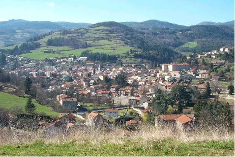
Chavany - Bourg-Argental
This is a very demanding stage that involves a radical change of landscape. From the Rhone valley, the route ascends continuously to the mountains of the Pilat Massif. It's a hard day with considerabl...
Bourg-en-Bresse - Les Brouillons
This is a short but intense stage that develops entirely in the high plateau of the Central Range. The landscape is austere and beautiful, with alpine meadows and forests. It's a journey that requires...
Les Sétoux - Montfaucon-en-Velay
At this stage, the path begins to gently descend from the high plateau towards the historic region of Velay. The landscape remains mountainous but smoother. The route introduces the pilgrim to the cha...
Montfaucon-en-Velay - Araules
This is an exciting stage that traverses the volcanic landscape of Velay. The trail goes up and down constantly between the "sucs", old volcanoes with rounded shapes, offering unique panoramic views. ...
Araules - Saint-Julien-Chapteuil
This is a short and pleasant stage that allows you to arrive on time at Saint-Julien-Chapteuil, the last major stop before Le Puy-en-Velay. The route is gentle, with a descending profile. Arrival in S...
Saint-Julien-Chapteuil - Le Puy-en-Velay
The final stage of the Via Gebennensis. From above, the road descends towards Le Puy-en-Velay. The excitement grows as the spectacular silhouette of the city comes into view, with its cathedral and th...
Key Towns of Gebennine Way
The most important towns and cities on this route.
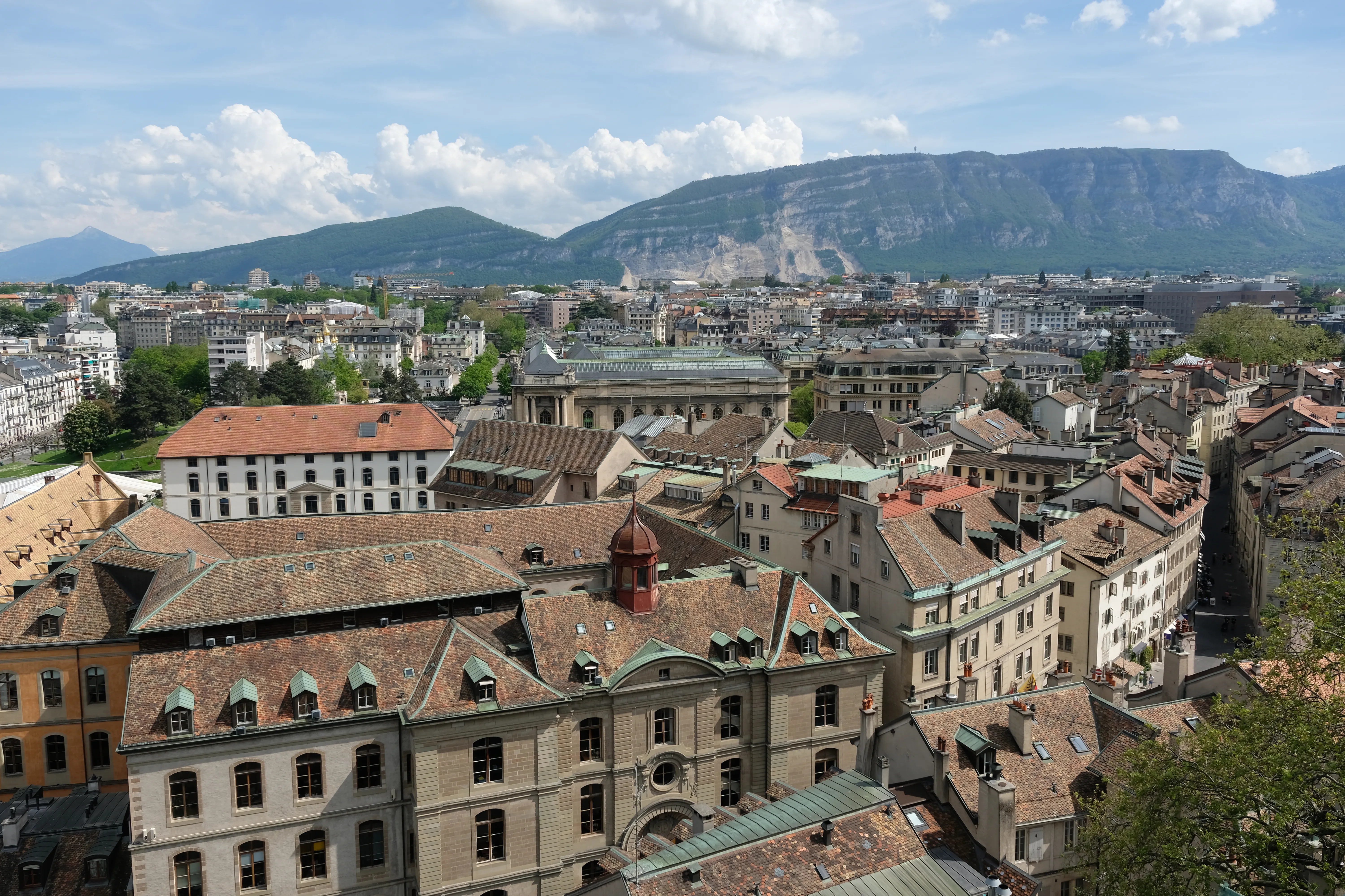
Genève
375 mStarting point of the Via Gebennensis, an international city in Switzerland.
Col du Mont-Sion
785 mMountain pass marking entry into France.
Frangy
Quiet village of the Upper Savoy on the Via Gebennensis. Famous for its cheese "Frangy", it offers a pilgrim a rural and culinary break on the route to Le Puy.
Serrières-en-Chautagne
250 mTown in the wine region of Chautagne.
Yenne
220 mBorder city between Savoy and France.

Saint-Genix-sur-Guiers
Small town of Savoy famous for its sweet "Gâteau de Saint-Genix". A savory and tranquil stop on the Via Gebennensis, by the river Guiers.
Le Pin
530 mSmall village near Lake Paladru.
La Côte-Saint-André
400 mParis

Revel-Tourdan
380 mTown with a rich medieval heritage.
Saint-Romain-de-Surieu
350 mSmall town in the department of Isère.
Chavanay
150 mWine village by the Rhone, in the AOC Condrieu.
Bourg-Argental
525 mVillage entrance to the mountains of Pilat.
History of Gebennine Way
Geneva city, with its strategic location on the shores of Lake Lemán and its proximity to alpine passes, has been since ancient times an intersection of roads and a vibrant commercial center. During the Middle Ages, its fairs attracted merchants and travelers from all the continent, and among them, numerous pilgrims. The Via Gebennensis is, in essence, the natural continuation of the Via Jacobi, the name that receives the network of Santiago's roads that cross Switzerland. A pilgrim who left Bavaria or the Black Forest crossed Switzerland following the arrows of the Via Jacobi and, upon arriving at Geneva, needed a clear route to continue his journey towards the west.
The itinerary starts from St. Peter's Cathedral in Geneva and heads southwest, entering almost immediately into French territory. The road traverses a transition landscape, leaving behind the pre-alpine environment to gradually enter rural France of Rhone-Alpes and finally, the volcanic slopes of the Central Massif. It crosses the Rhone River and passes through the historic regions of Savoy and Provence.
A singular aspect in this route's history is the impact of the Protestant Reformation in the 16th century. Geneva, under John Calvin's leadership, became "Protestant Rome", a theological center of the new reformed faith. This undoubtedly made the city a complicated place for Catholic pilgrims for a long period. The flow of walkers probably decreased or sought alternative routes to circumvent the city. However, the geographical logic of the itinerary was so strong that the tradition of passing through the region never completely disappeared and was revitalized over time.
The final goal and reason for the Via Gebennensis is to reach Le Puy-en-Velay. The arrival at this city is a climactic moment for the pilgrim. Le Puy, with its spectacular location and its cathedral declared a UNESCO World Heritage Site, is the starting point of the Via Podiensis (GR65), the most traveled Jacobean French route. Upon arriving at Le Puy, the pilgrims who have traversed the Via Gebennensis, often in a more solitary atmosphere, join the large stream of walkers who begin their journey there.
Today, the Via Gebennensis is perfectly signposted and has a good network of accommodation. It is valued for its scenic beauty and for offering a more tranquil and contemplative experience before immersing oneself in the more social atmosphere of the Via Podiensis. It is, ultimately, a testament to Europe's and transnational nature of the Santiago de Compostela pilgrimage, a path that unites cultures and nations on one journey towards Compostela.
Accommodations on the Route
The Gebennine Way has 59 verified accommodations along the entire route.
View Stages & AccommodationsPractical Tips for Gebennine Way
Best Season
Spring (April-June) and autumn (September-October) are the best seasons. Pleasant temperatures and fewer crowds than summer.
Physical Preparation
Train by walking progressively in the months before. Start with short distances and increase. Your body will adapt to the rhythm of the Camino.
What to Pack
Light backpack (max 10% of your weight), worn trekking shoes, breathable technical clothing, raincoat, sunscreen and basic first aid kit.
General Tips
Carry the pilgrim credential, stay hydrated, respect your pace, book accommodation in high season and enjoy the journey without rushing.
FAQ about Gebennine Way
La Vía Gebennensis tiene una longitud aproximada de 350 km, con una duración estimada de viaje de unos 15 días. Ourway Travel te ofrece toda la información necesaria para planificar tu ruta y asegurar que tienes el tiempo suficiente para disfrutar plenamente del camino.
La temporada media, entre abril y junio o septiembre y octubre, ofrece un clima agradable y una buena cantidad de peregrinos, lo que proporciona una experiencia equilibrada. Ourway Travel recomienda estos meses debido al excelente estado del camino y las condiciones climáticas ideales para el disfrute del recorrido.
La Vía Gebennensis se considera un camino de media dificultad, ya que atraviesa diversos terrenos incluyendo áreas prealpinas y montañas. Ourway Travel ofrece itinerarios adaptados a diferentes niveles de experiencia para garantizar una ruta segura y gratificante.
Los costos asociados a la realización del Camino Vía Gebennensis con Ourway Travel incluyen alojamiento, asesoramiento personalizado y gestión de reservas. El precio exacto varía según las fechas elegidas y el nivel de servicios requeridos, por lo que te recomendamos contactarnos para obtener un presupuesto detallado.
Cuando reservas con Ourway Travel para el Camino de Santiago, recibirás una lista completa que incluye alojamiento en albergues o hoteles seguros y limpios, asesoramiento personalizado antes y durante tu viaje, así como gestión de todas las reservas necesarias.
La Vía Gebennensis es única en su enlace entre Suiza y Francia, ofreciendo un camino culturalmente rico que atraviesa diferentes paisajes. A diferencia de caminos más conocidos como el Camino Francés o el Camino Portugués, la Vía Gebennensis atrae a peregrinos interesados específicamente en su historia y geografía únicas.
La elección depende de tus intereses personales, como la historia medieval o el paisaje prealpino. La Vía Gebennensis es ideal para aquellos que buscan una ruta menos transitada pero con un alto valor cultural e histórico. Ourway Travel te asesorará sobre qué camino mejor se adapta a tu experiencia y objetivos.
Ourway Travel gestiona todas las reservas necesarias para que puedas centrarte en tu viaje. Esto incluye ayudarte a obtener la credencial de peregrino necesaria y, opcionalmente, proporcionar el servicio de transporte de equipaje para facilitar tu recorrido por la Vía Gebennensis.
Ready for this adventure?
Let us organize your pilgrimage. We take care of accommodations, transfers and everything you need.