
Stage of the Camino
Stage Description
The most demanding stage of O Camiño dos Faros. Its 25.3 kilometres string together continual climbs and descents along an abrupt and almost inaccessible coast, with ramps reaching 23% on the way up and 25% on the way down over technical ground. The first ten kilometres, between the beach of Lourido and Moreira, concentrate the hardest of it: monte Cachelmo first and monte Pedrouzo afterwards, the latter at 264 metres and with two kilometres of climbing. The reward comes at cabo Touriñán, the westernmost point of mainland Spain. The final descent opens onto the enormous beach of Nemiña, where the day ends.
The seventh stage covers 25.3 kilometres between Muxía and Nemiña and is reckoned the hardest on O Camiño dos Faros. It is not the longest, but it does have the most leg-breaking terrain: the coast here is abrupt and almost inaccessible, and the path is forced to climb and drop without respite among shingle beaches, streams and cliffs. It is advisable to take it on only after completing the earlier stages.
The path leaves Muxía along the beach of Lourido and gets straight down to business. The first ten kilometres, as far as Moreira, are the most demanding on the whole route: the climb to monte Cachelmo gains around a hundred and fifty metres in one push and, shortly afterwards, monte Pedrouzo forces two kilometres of ascent up to the 264-metre mark. The ramps reach 23% on the way up and 25% on the way down, over uneven ground.
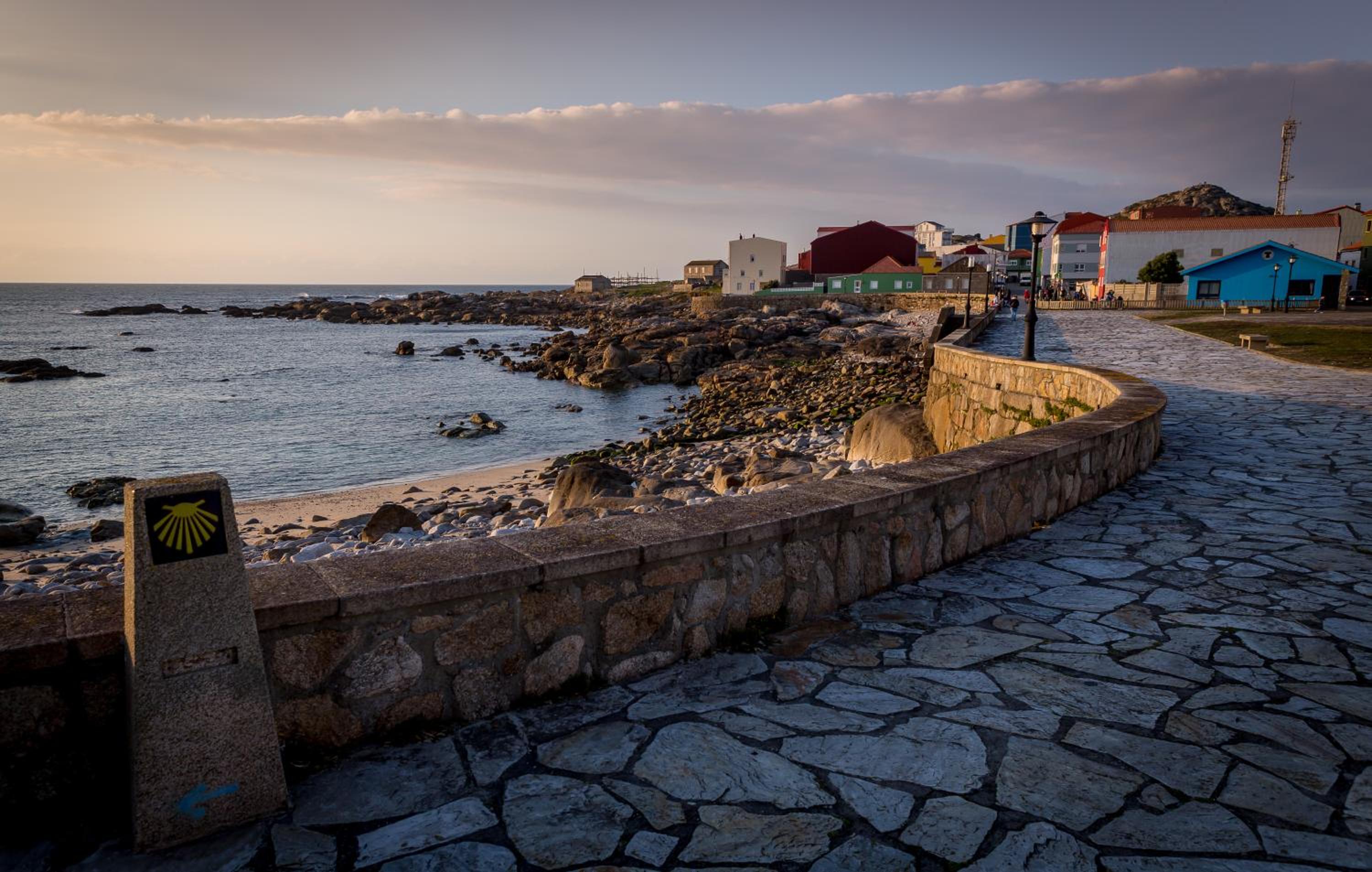
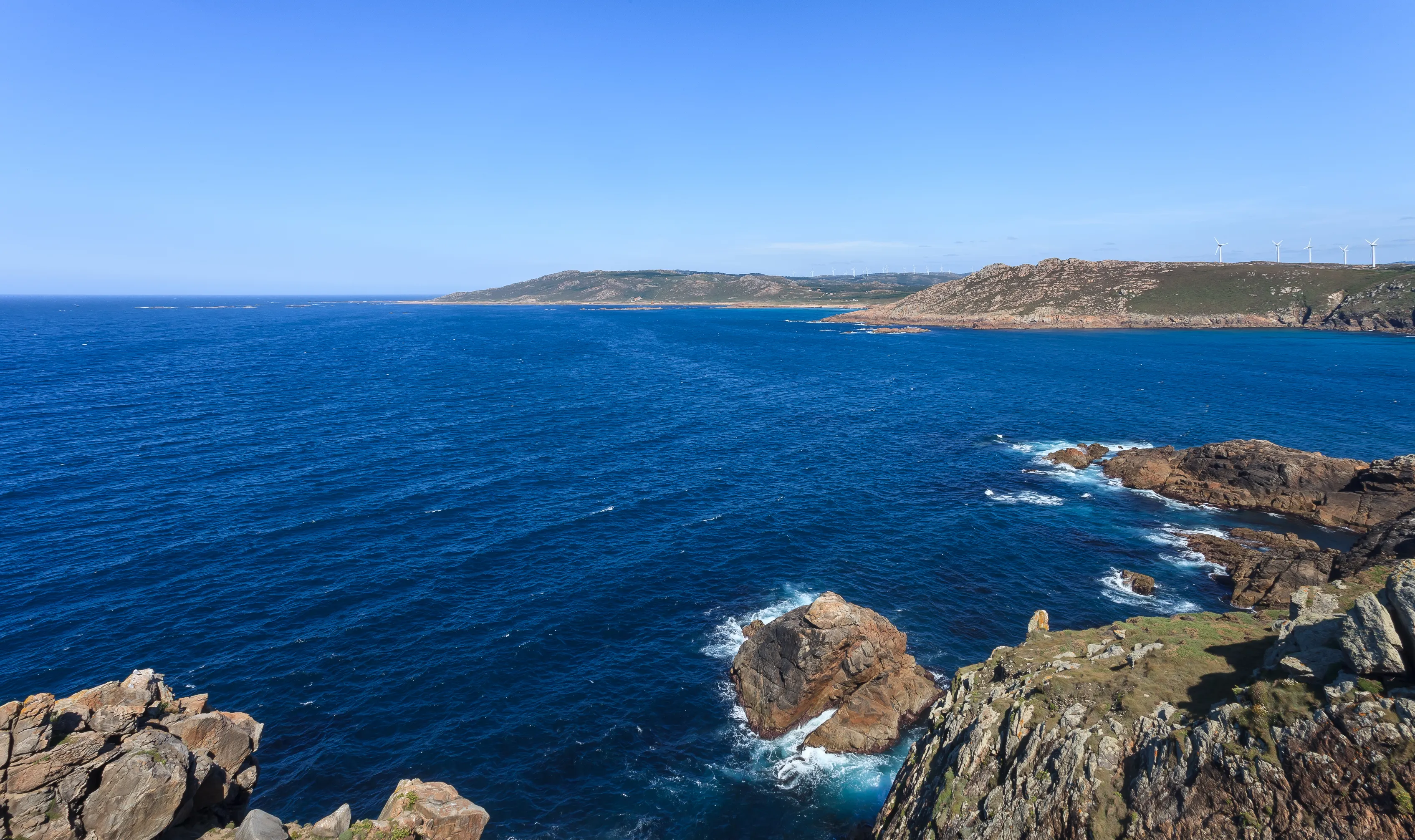
From the top, the viewpoint of Punta Buitra opens a panorama over the peninsulas that follow one another southwards. The descent to sea level is long and technical, and returns the pilgrim to a succession of coves and shingle beaches battered by the Atlantic, with barely a trace of building. The hamlet of Talón is one of the few inhabited settlements along the way.
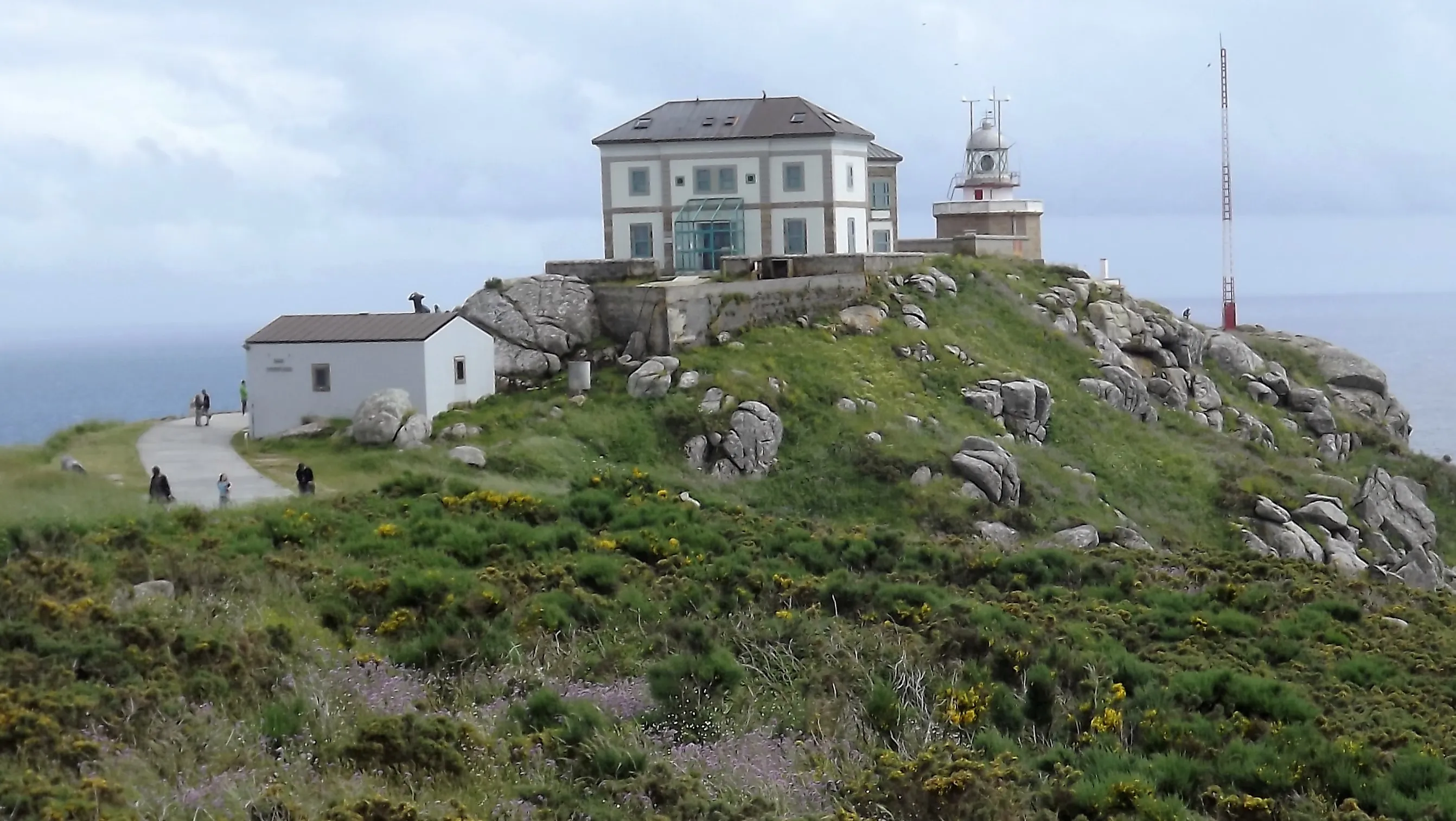
The landmark of the day is cabo Touriñán and its lighthouse, the westernmost point of mainland Spain. For some weeks of the year it is also the place where the sun sets latest in all of continental Europe. From there the path descends southwards until it comes out on the beach of Nemiña, an enormous open expanse of sand where one of the most memorable days on the route comes to an end.
The path leaves Muxía along the beach of Lourido and gets straight down to business. The first ten kilometres, as far as Moreira, are the most demanding on the whole route: the climb to monte Cachelmo gains around a hundred and fifty metres in one push and, shortly afterwards, monte Pedrouzo forces two kilometres of ascent up to the 264-metre mark. The ramps reach 23% on the way up and 25% on the way down, over uneven ground.
From the top, the viewpoint of Punta Buitra opens a panorama over the peninsulas that follow one another southwards. The descent to sea level is long and technical, and returns the pilgrim to a succession of coves and shingle beaches battered by the Atlantic, with barely a trace of building. The hamlet of Talón is one of the few inhabited settlements along the way.
The landmark of the day is cabo Touriñán and its lighthouse, the westernmost point of mainland Spain. For some weeks of the year it is also the place where the sun sets latest in all of continental Europe. From there the path descends southwards until it comes out on the beach of Nemiña, an enormous open expanse of sand where one of the most memorable days on the route comes to an end.
Last updated: 05/08/2026
Where to Sleep
Accommodations in this Stage
Find the perfect place for your rest in Muxía o Nemiña.
Start your adventure
Ready to walk this stage?
We design your personalised Camino de Santiago experience.
Plan your CaminoWalk this route with us
Fancy walking this route?
We don't have a ready-made package for this route yet, but we'll organise it around you. Tell us how you'd like to experience it and a specialist will reply within 24 h.
Request your proposal