
Camino de Santiago
Path of the Lighthouses
The Way of the Lighthouses (El Camiño dos Faros) is an spectacular hiking route that follows the Costa da Morte of Galicia from Malpica to Finisterre. It's not Jacobean, but connects with the spirit of the end of the world.
Organize your Path of the LighthousesLast updated: 21/05/2025
The Route
General Description of Path of the Lighthouses
Elevation Profile of
Elevation Profile of Path of the Lighthouses
Visualize the ups and downs of the route.
Loading elevation profile...
Error loading elevation profile or altitude data not available.
Your trip with Ourway
Everything you need for your Camino
No hassle. Your perfect route, from start to finish.
Accommodation
Selected hotels and hostels at every stage
Luggage transfer
Your backpack travels from stage to stage
Camino Guide
Detailed map with directions and services
24h Support
Team available for any unforeseen event
Pilgrim credential
Official documentation included
No commitment
Free personalized consultation
Walk this route with us
Fancy walking this route?
We don't have a ready-made package for this route yet, but we'll organise it around you. Tell us how you'd like to experience it and a specialist will reply within 24 h.
Request your proposalStages
Stages of Path of the Lighthouses
Malpica de Bergantiños → Niñóns
The first day of O Camiño dos Faros, the route that links Malpica with cabo Fisterra, skirting the Costa da Morte. The 21.3 kilometres set out from the fishing harbour of Malpica and come out almost a...
Niñóns → Ponteceso
The second stage of O Camiño dos Faros and one of the most demanding on the route, with 27.1 kilometres combining cliff, dunes and estuary. The day advances along the Costa da Tremosa, an airy stretch...
Ponteceso → Laxe
A stage of contrasts: the only one on O Camiño dos Faros that genuinely heads inland before returning to the sea. The first kilometres follow the estuary of the río Anllóns, a flat stretch and an exce...
Laxe → Arou
La etapa más corta y amable de O Camiño dos Faros, 18 kilómetros de perfil suave que permiten caminar sin reloj. La jornada empieza subiendo al faro de Laxe, con la ría entera a los pies, y sigue por ...
Arou → Camariñas
A stage of 23.8 kilometres that crosses the most legendary section of the Costa da Morte. After leaving Arou and passing the harbour of Santa Mariña, the path runs along the beaches of Lobeiras, Trece...
Towns
Featured Towns of Path of the Lighthouses
Explore the key towns and cities of this route.
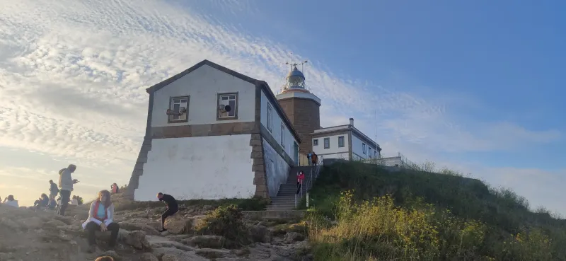
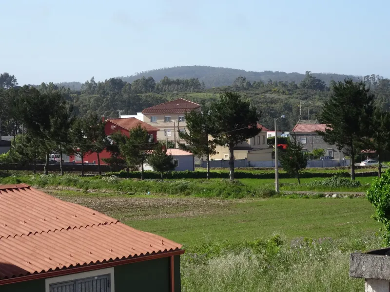
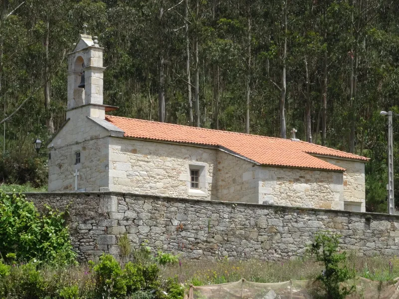
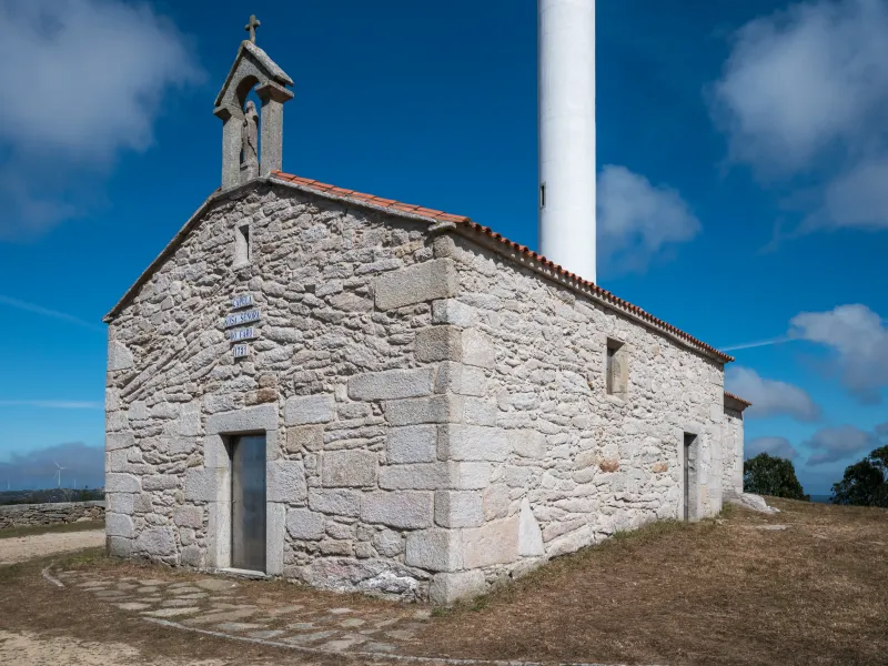
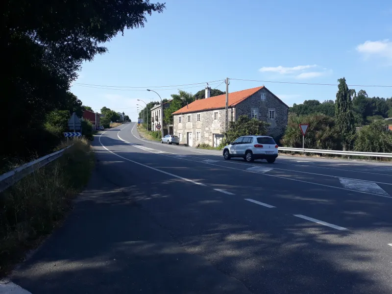
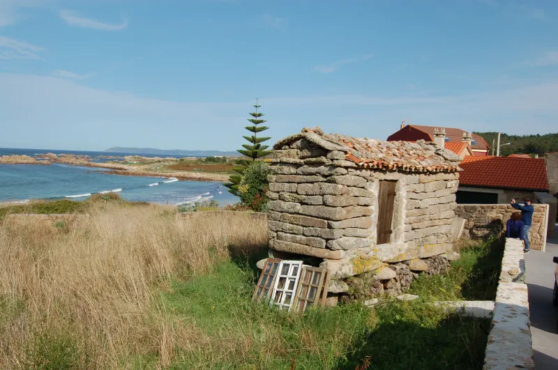
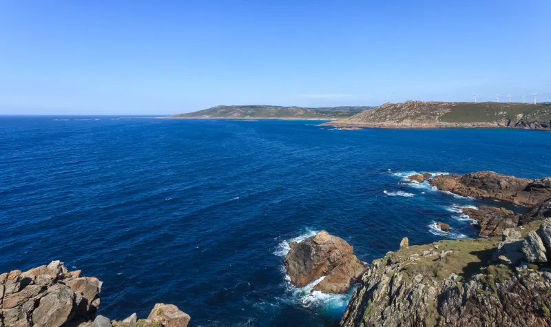
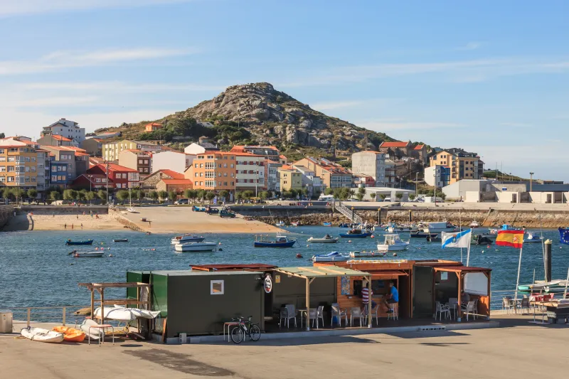
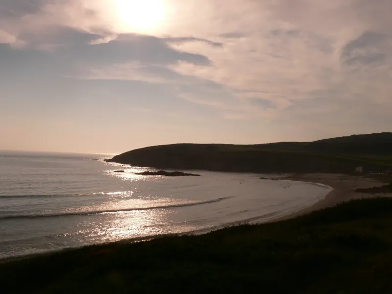
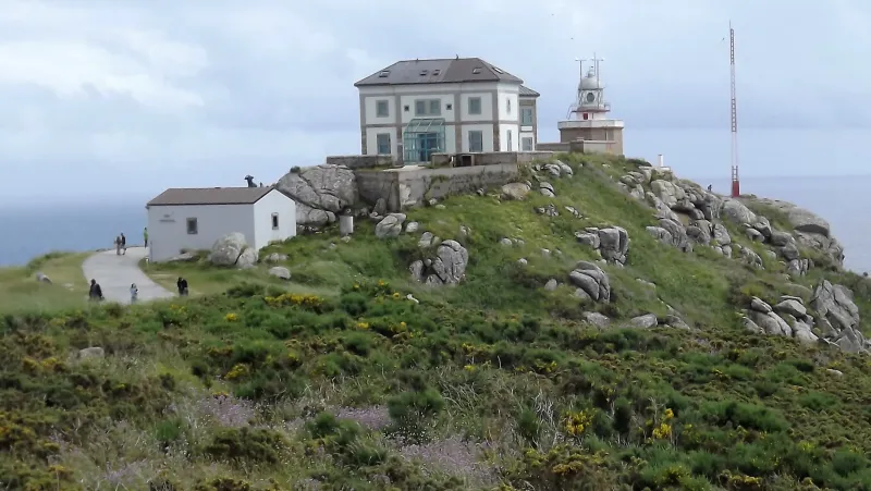
History
Millenary History of the Camino de Santiago: Origins and Evolution Path of the Lighthouses
Discover the origins and evolution of Path of the Lighthouses
Everything began in 2013. A group of hikers from the area, self-proclaimed "Os Trasnos" (the little fairies), proposed a challenge: to demonstrate that it was possible to unite Malpica with Fisterra following a continuous path that strictly followed the coastline. During months, they explored the coast, rediscovering old fishermen's paths, routes used by "percebeiros" (prawn collectors) who risked their lives on cliffs, and old contrabandist routes. They joined these forgotten trail fragments, cleaned up inaccessible sections, and documented each stage with photos and descriptions that started to be shared in a blog and social networks.
What began as a personal project turned into a viral phenomenon. The beauty of the images and the epic nature of the proposal attracted the attention of thousands of hikers from Galicia, Spain, and soon from all over the world. The "Camiño dos Faros" association organized popular gatherings to walk the stages, gathering hundreds of people and creating a social movement that claimed protection and recognition for the route. The story of its creation is an example of how civil society can take the initiative to put its own natural and cultural heritage on display.
The name, "Camiño dos Faros", describes it perfectly. It's a 200-kilometer itinerary that connects all lighthouses and main points of interest in the Costa da Morte, from the lighthouse of Las Sisargas in Malpica to the iconic lighthouse of Fisterra. It traverses a legendary landscape, known as "the Coast of Death" due to the countless shipwrecks that have occurred in its treacherous waters. The path is an homage to that tragic history, but also to the sublime beauty of an untamed coastline: cliffs that take your breath away, deserted white-sand beaches, dunes, estuaries, and headlands that plunge fiercely into the Atlantic.
Although it's not a Jacobean route, its final destination establishes a powerful symbolic connection. The Camiño dos Faros ends at Cape Fisterra, the same "end of the world" pagan destination that is the endpoint of the Camino de Fisterra and Muxía, the extension undertaken by pilgrims from Santiago. This creates a bridge between both experiences. Many hikers, after introspecting on the Camino de Santiago, seek in the Camiño dos Faros an experience more physical and connected to nature in its purest form.
In just over a decade, the history of the Camiño dos Faros has gone from being the dream of a group of friends to becoming a consolidated reality, an international reference hiking trail. Its story is not recorded in medieval codes, but on blogs and in the passion of the people who made it possible, demonstrating that great trails can also be born in our time.
We answer your questions
Frequently Asked Questions about Path of the Lighthouses
How many days does it take to complete the Lighthouses Way?
The Lighthouses Way, with a total distance of 200 km, is usually completed in about 8 days. This route is particularly recommended for hiking enthusiasts and nature lovers seeking a moderate to high challenge.
What does the Ourway Travel Lighthouses Way tour include?
At Ourway Travel, our Lighthouses Way itinerary includes transfers between cities, accommodation in selected hotels or hostels, and continuous assistance. Additionally, we manage all necessary documentation for your trip.
What is the best time of year to do the Lighthouses Way?
The medium season from April to June and September to October offers ideal weather for enjoying the Lighthouses Way, with cool but sunny temperatures and fewer pilgrims. May is especially beautiful due to the intense greenery and flowers, while September still maintains warmth without being as oppressive as July-August.
What is the difficulty level of the Lighthouses Trail?
The Lighthouses Trail is considered a high-difficulty route due to its path along cliffs, beaches, and lighthouses. The trail requires good physical condition to tackle challenges such as steep inclines and rocky terrain.
How can I book the Lighthouses Trail with Ourway Travel?
Booking the Lighthouses Trail with Ourway is straightforward. You can make your reservation online directly from our website, where you'll find all available options to customize your experience. Our team is also available by phone or email to assist you.
How does the Camino de los Faros compare to other routes in Galicia?
The Camino de los Faros stands out compared to traditional Santiago routes like the Camino Francés. While it doesn't follow a historical Jacobean path, it offers a spectacular coastal journey that directly connects with the wild and epic beauty of the Costa da Morte.
What is the highlight of the Lighthouse Route?
The highlights of the Lighthouse Route are its stunning coastal views, historic lighthouses, deserted beaches, and a direct connection to the pilgrim spirit at Cape Finisterre. This route is perfect for nature lovers and those seeking a unique experience in Galicia.
How can I manage my pilgrim credential for the Lighthouses Way?
For the Lighthouses Way, although it is not officially a Jacobean route, you can obtain a pilgrim's credential that reflects your path. Ourway Travel can assist you in managing this process and ensuring you have all necessary documents for your journey.
Organize Your Camino
Ready for this adventure?
Path of the Lighthouses