
Stage of the Camino
Stage Description
A stage of contrasts: the only one on O Camiño dos Faros that genuinely heads inland before returning to the sea. The first kilometres follow the estuary of the río Anllóns, a flat stretch and an excellent one for birdwatching, before the path turns inland and takes on the climb along the Ruta do Rego dos Muíños, the greatest effort of the day. Waiting at the top are two jewels of Galician prehistory: the hill fort of A Cibdá de Borneiro and the dolmen of Dombate, one of the best-preserved megaliths in the north-west of the Peninsula. Monte Castelo, at 312 metres, is the high point of the stage and offers the widest panorama on the route. The final descent returns the pilgrim to the coast by way of the beaches of Rebordelo and San Pedro as far as Laxe.
The third stage covers 25.3 kilometres between Ponteceso and Laxe and breaks the coastal logic of the rest of the route: for much of the day the sea is left behind and the path crosses the interior of Bergantiños, among woods, hamlets and archaeological sites. It amounts to some nine hours of walking with stops, with one climbing section clearly more demanding than the rest.
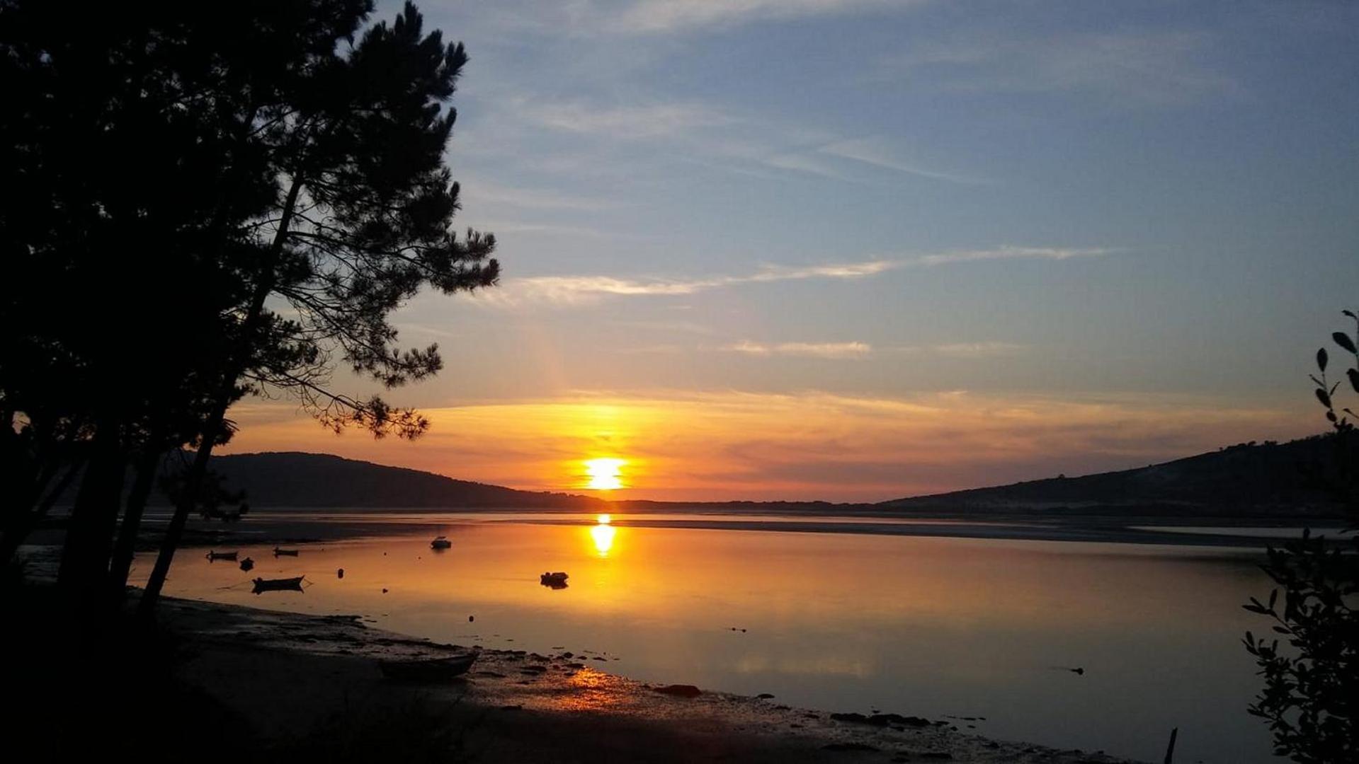
The start is comfortable: three flat kilometres beside the Anllóns estuary, with the marsh on one side and the pinewoods of the ensenada da Insua on the other. It is the best moment of the day for birdwatching. Shortly afterwards the path leaves the water and takes on the Ruta do Rego dos Muíños, a sustained climb among oak woods and old watermills that marks the turning point of the day.
At the top waits the section with the greatest historical weight on all of O Camiño dos Faros. The hill fort of A Cibdá de Borneiro preserves some fifty structures of an Iron Age settlement, and a short distance away stands the dolmen of Dombate, a megalithic tomb more than five thousand years old known as the cathedral of Galician megalithism. From monte Castelo, at 312 metres and the highest point on the route, the rías of Corme and Laxe are taken in at a single glance.
The descent leads back to the sea through the hamlets of O Curro, Canduas, Vilaseco and Fontefría. The path regains the coast at Punta do Cabalo, a viewpoint over both rías, and lines up the beaches of Urixeira, Rebordelo and San Pedro. The old shipyards of A Telleira announce the arrival in Laxe, a fishing town with a working harbour and a broad beach, which closes the stage.
The start is comfortable: three flat kilometres beside the Anllóns estuary, with the marsh on one side and the pinewoods of the ensenada da Insua on the other. It is the best moment of the day for birdwatching. Shortly afterwards the path leaves the water and takes on the Ruta do Rego dos Muíños, a sustained climb among oak woods and old watermills that marks the turning point of the day.
At the top waits the section with the greatest historical weight on all of O Camiño dos Faros. The hill fort of A Cibdá de Borneiro preserves some fifty structures of an Iron Age settlement, and a short distance away stands the dolmen of Dombate, a megalithic tomb more than five thousand years old known as the cathedral of Galician megalithism. From monte Castelo, at 312 metres and the highest point on the route, the rías of Corme and Laxe are taken in at a single glance.
The descent leads back to the sea through the hamlets of O Curro, Canduas, Vilaseco and Fontefría. The path regains the coast at Punta do Cabalo, a viewpoint over both rías, and lines up the beaches of Urixeira, Rebordelo and San Pedro. The old shipyards of A Telleira announce the arrival in Laxe, a fishing town with a working harbour and a broad beach, which closes the stage.
Last updated: 05/08/2026
Where to Sleep
Accommodations in this Stage
Find the perfect place for your rest in Ponteceso o Laxe.
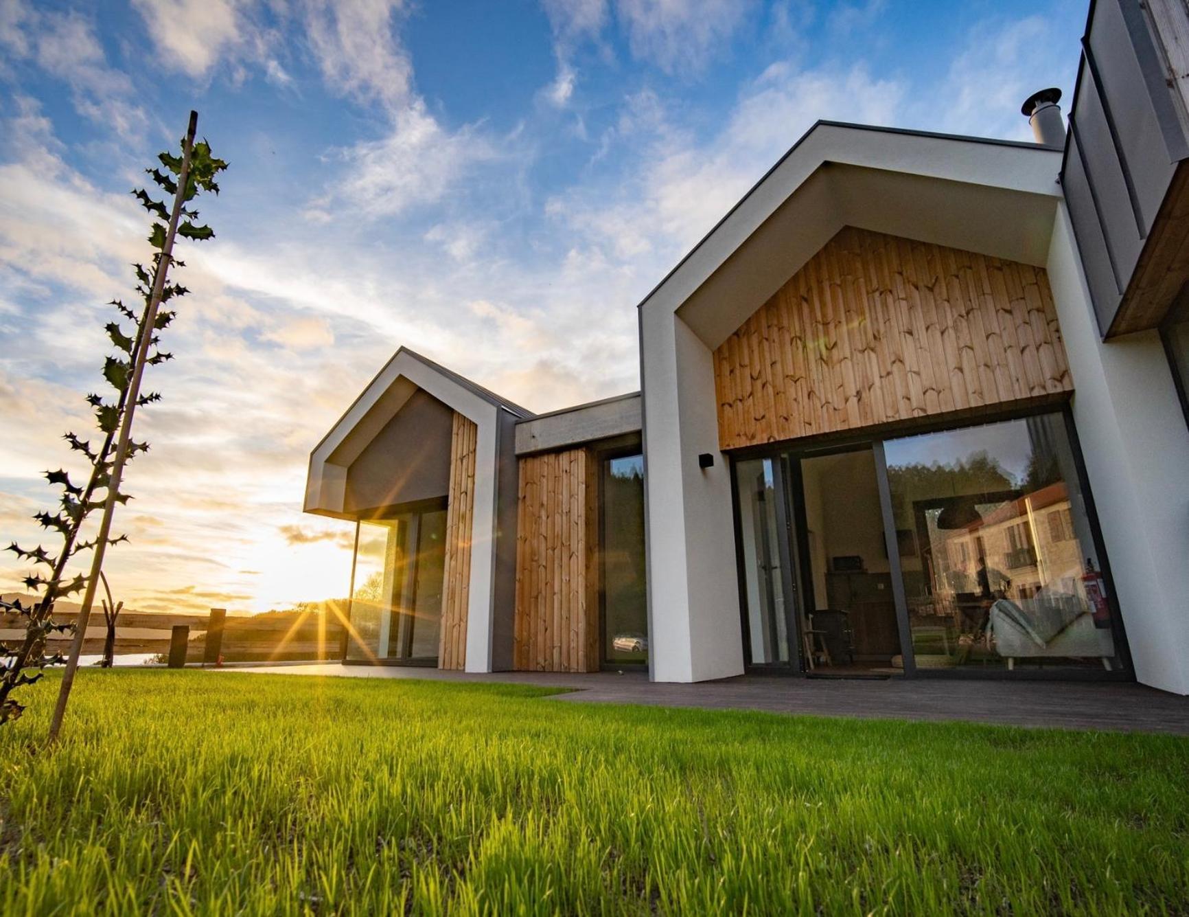
Balarés Hotel da Natureza
Casa Hermida Beach
House With 3 Bedrooms in Balarés, With Wifi - 450 m From the Beach
Los Dos Hermanos
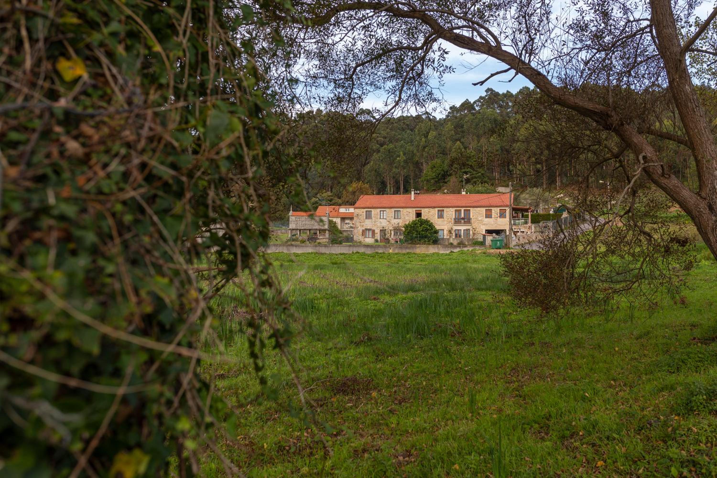
A Casa de Lelo
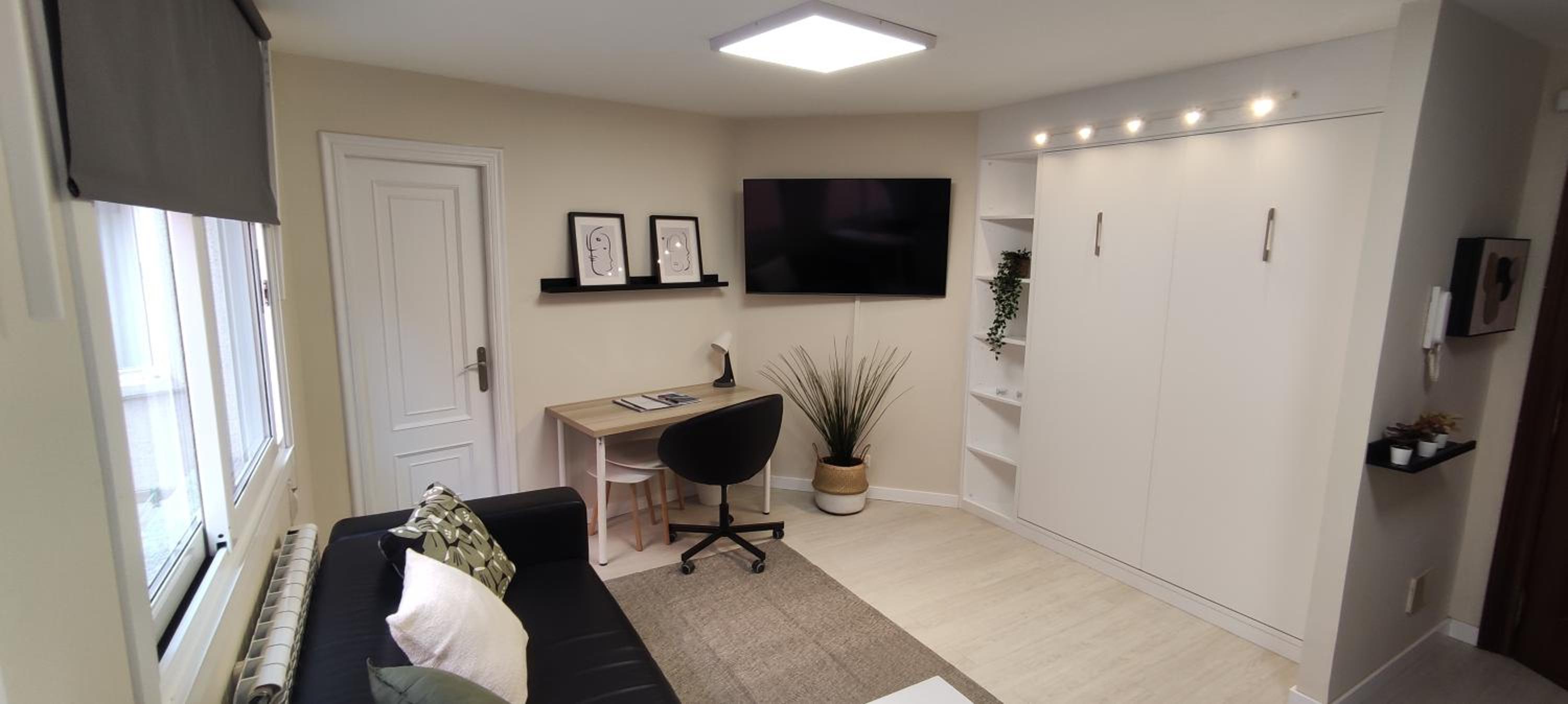
A Cova Do Traski
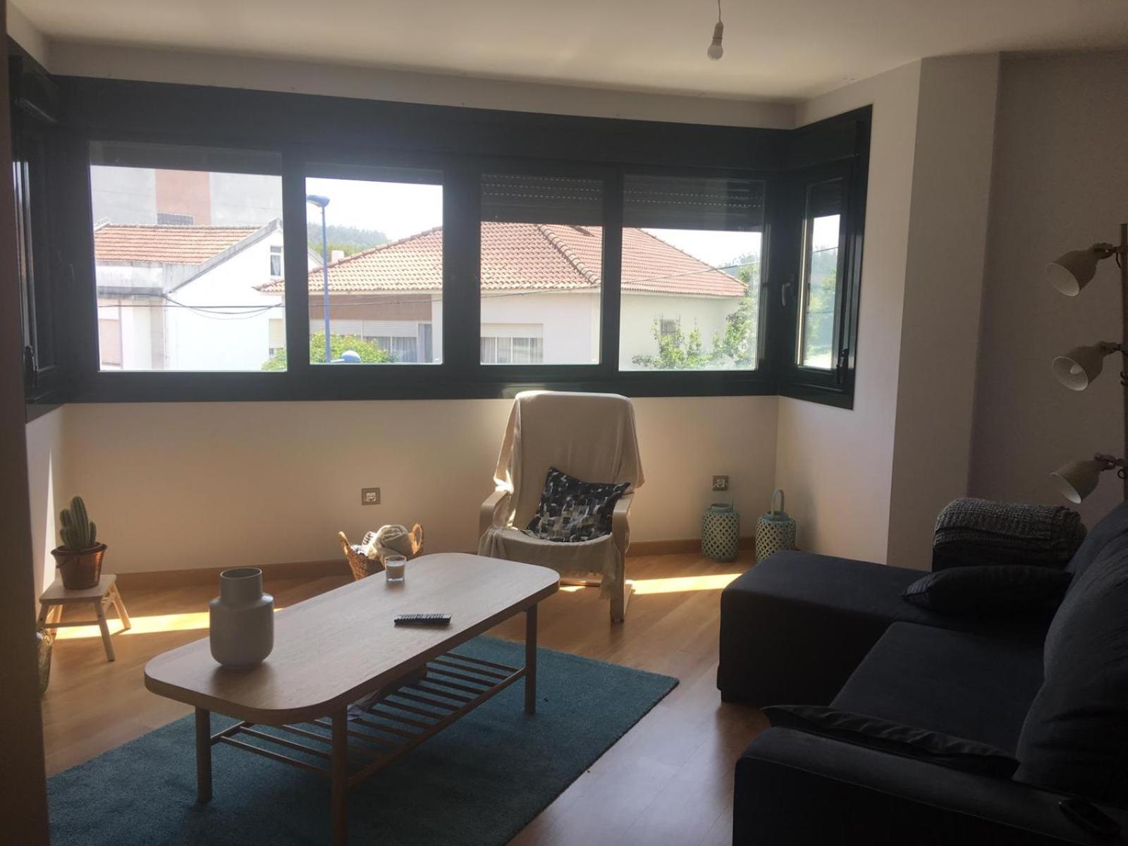
Apartamento Camiño dos Faros
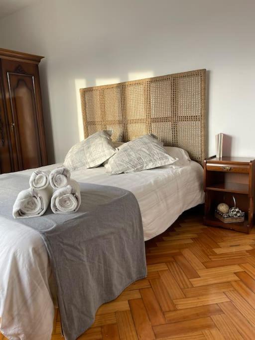
Apartamento de Castro 2º IZ
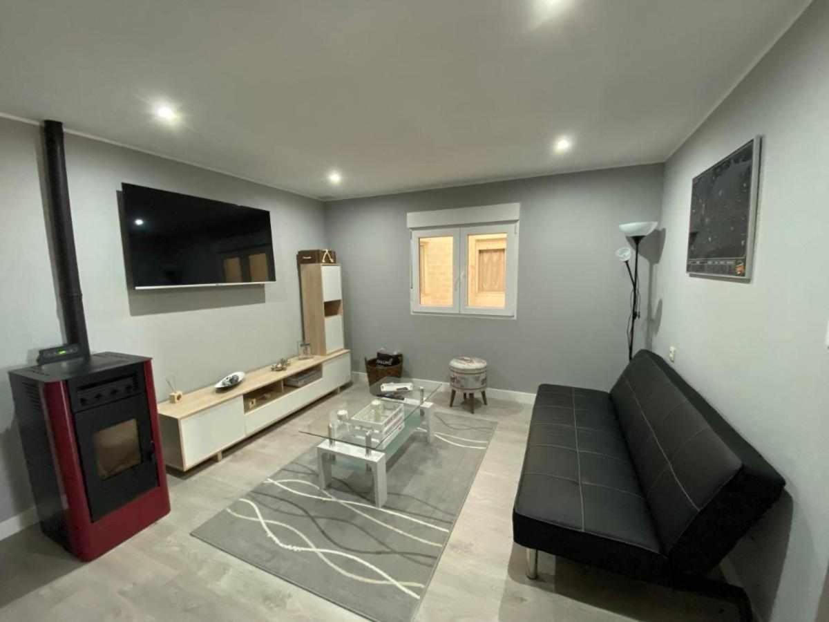
Apartamento en el centro de Ponteceso.
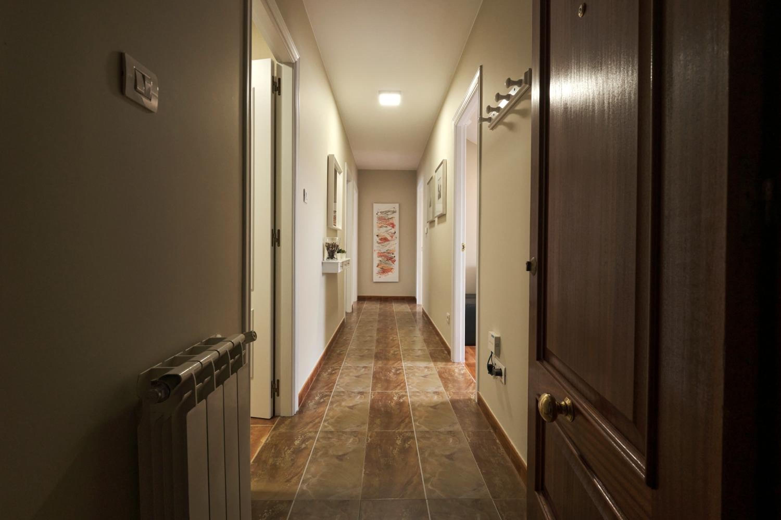
Apartamento Ponteceso Vieira
camiño dos faros
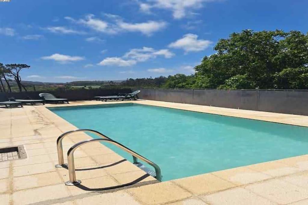
Casa con Piscina en Costa da Morte
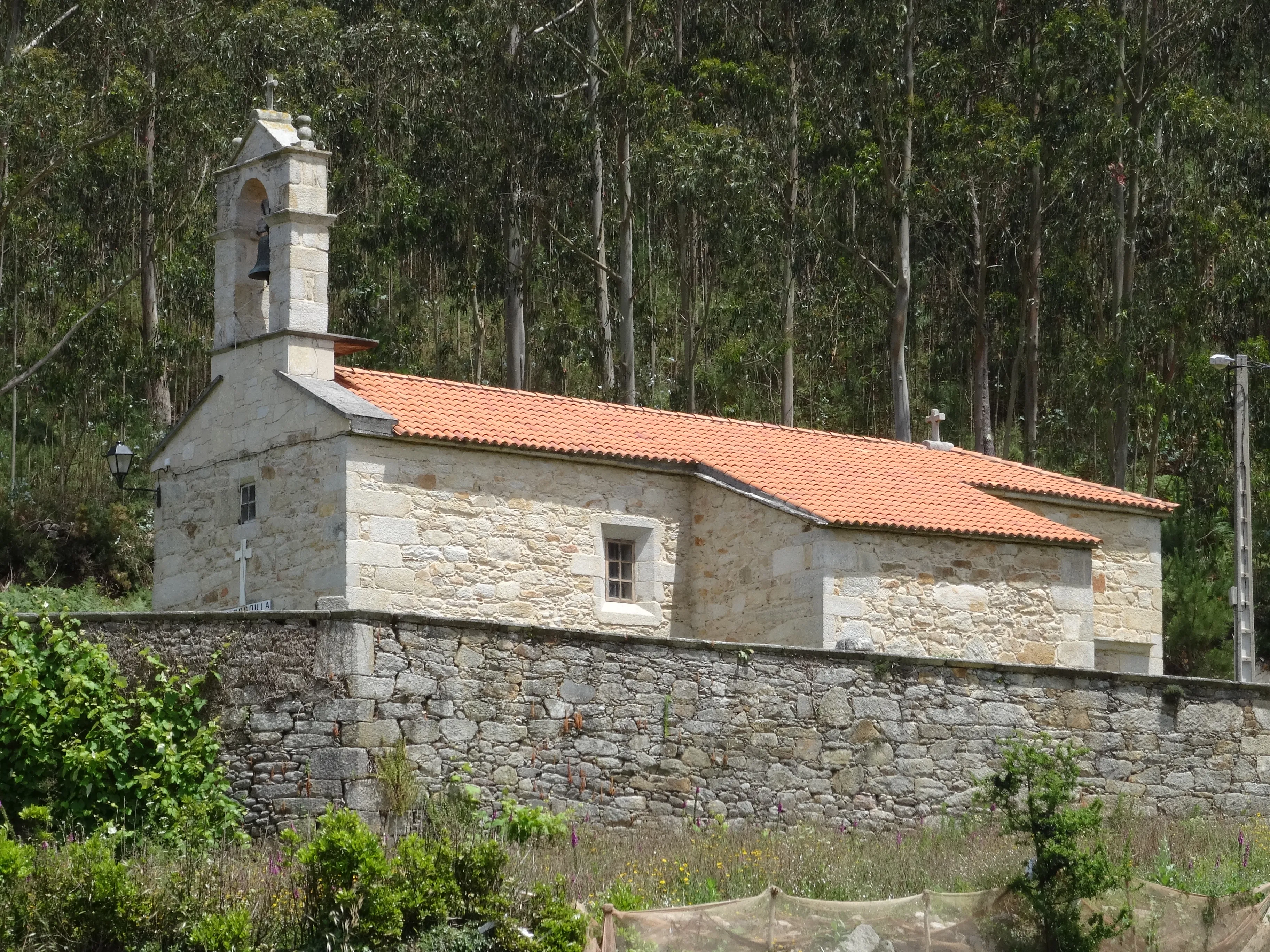
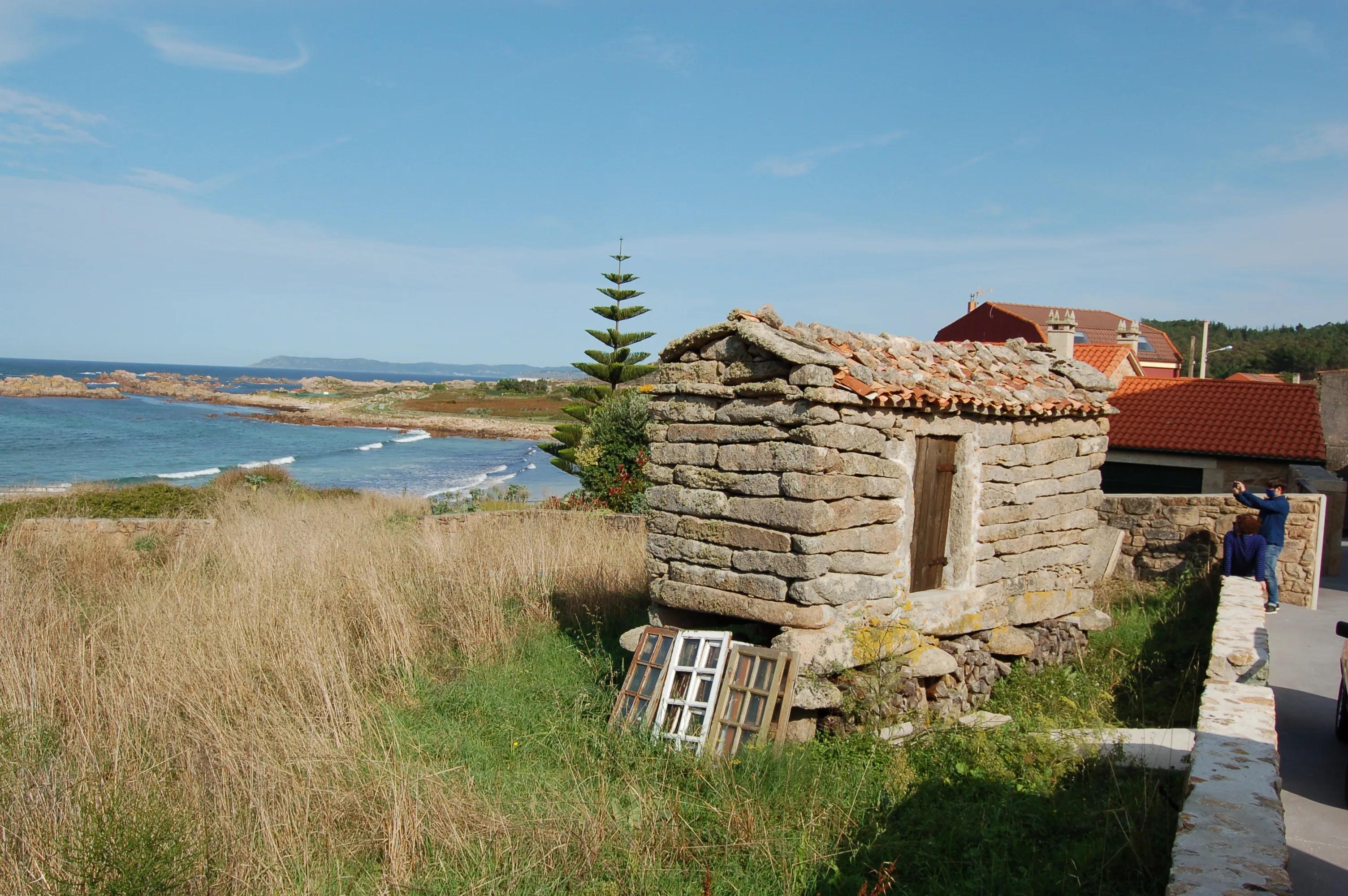
Start your adventure
Ready to walk this stage?
We design your personalised Camino de Santiago experience.
Plan your CaminoWalk this route with us
Fancy walking this route?
We don't have a ready-made package for this route yet, but we'll organise it around you. Tell us how you'd like to experience it and a specialist will reply within 24 h.
Request your proposal