
Origin
Destination
Distance
35.20 km
Duration
9.00 h
Difficulty
Hard
Ascent
614 m
Descent
607 m
Stage of the Camino
Stage Description
A long day that links two stages of the Coastal Portuguese Way: the urban exit from Vigo and the section shared with the Central Way as far as Pontevedra. After climbing through the streets of the old town and the Teis district, the route follows the Senda da Traída das Augas, a hillside path among trees with constant views over the estuary, the Rande strait and its bridge. The descent through Cedeira leads to Redondela, where the coastal variant and the Central Way meet. From there the profile becomes more rolling: Cesantes, the climb over the Viso ridge, the oysters of Arcade and the medieval bridge of Pontesampaio over the Verdugo river. The Brea Vella da Canicouva, the chapel of Santa Marta and the Gafos riverside path come before the entry into Pontevedra along the Rúa da Peregrina, next to the sanctuary of the Virgen Peregrina. At just over 35 kilometres, it calls for good preparation.
This stage joins Vigo and Pontevedra in a single day, combining two sections usually walked separately: Vigo to Redondela, on the Coastal Portuguese Way, and Redondela to Pontevedra, shared with the Central Portuguese Way. The result is about 35.2 kilometres with around 610 metres of cumulative ascent and as much descent, spread over several moderate climbs. No slope is particularly hard, but the distance makes it a demanding day best started early and with plenty of water.
The route sets off from the co-cathedral of Santa María in Vigo's old town and crosses Oliva, Gamboa and Victoria streets to the Praza de Compostela. Along Areal and García Barbón it reaches the Teis district after a steep climb, and the Camiño da Xorxa crosses the greenway, the AP-9 motorway and the N-552 to join the Senda da Traída das Augas. From here the setting changes completely: the path runs along the hillside, alternating earth and tarmac under the trees, passes a small waterfall on the Rego Fondón and opens onto viewpoints over the Rande strait, its bridge and the San Simón inlet, scene of the 1702 naval battle that Jules Verne evoked in his novels.
After a long shaded track and the Mina do Conde fountain, the route drops steeply beside the church of San Andrés de Cedeira and, crossing the railway and the N-550, enters Redondela, the town of viaducts, at around kilometre 15. Here the Coastal variant merges with the Central Portuguese Way, and walkers will share the path with pilgrims coming from Tui all the way to Santiago.
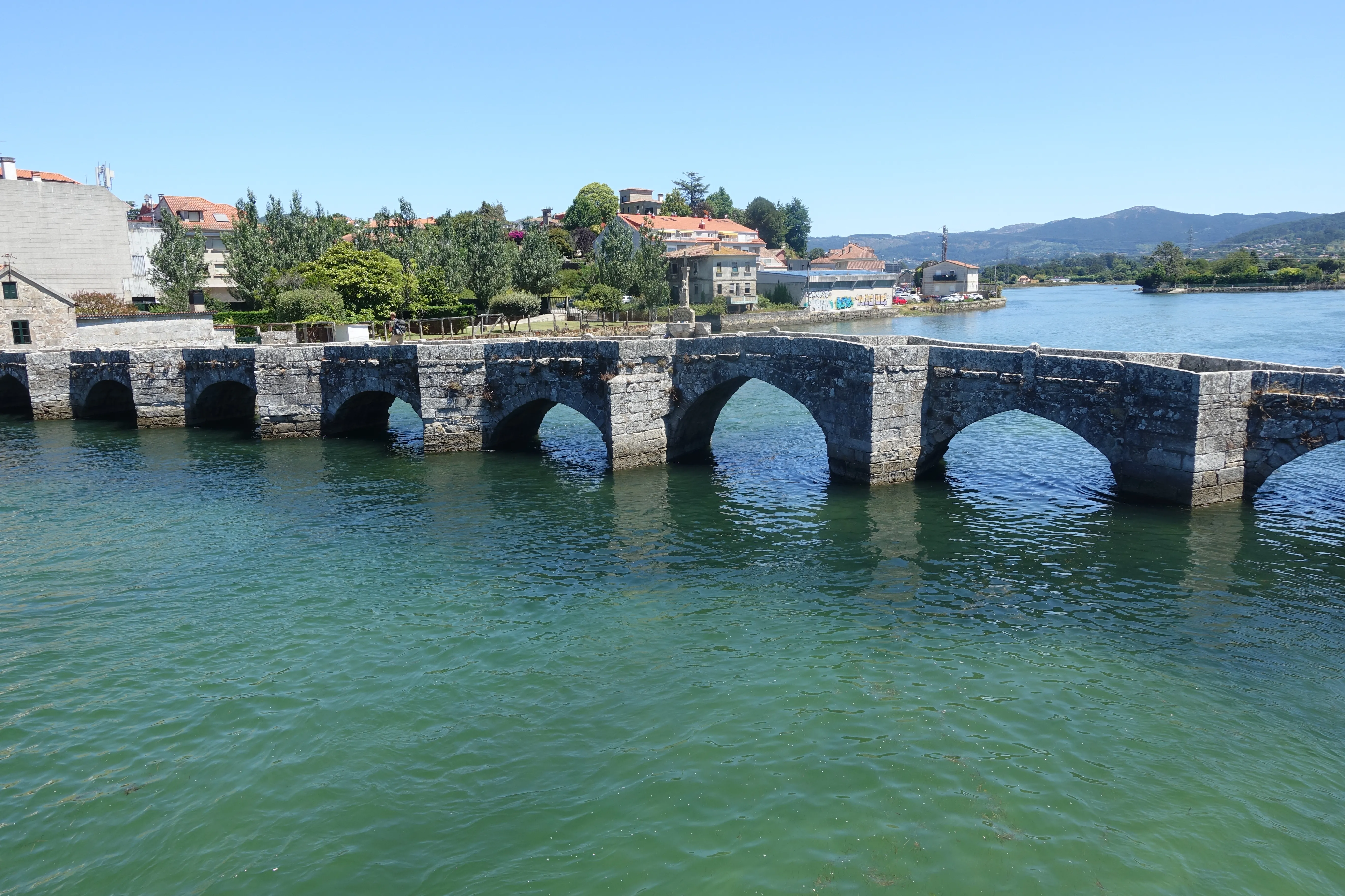
The second half begins beneath the railway viaducts and reaches Cesantes, from where a rising track climbs the Viso ridge with views over the estuary. The descent leads to Arcade, famous for its oysters, and soon to the medieval bridge of Pontesampaio over the Verdugo river, site of the 1809 battle against Napoleon's troops. On the other side comes the day's hardest climb along the Brea Vella da Canicouva, a stretch of paved causeway through woodland, followed by tracks and hamlets up to the chapel of Santa Marta.
The final section eases thanks to the Gafos riverside path, which brings pilgrims into Pontevedra almost free of traffic. The entry follows the Rúa da Peregrina to the sanctuary of the Virgen Peregrina, patron of the province, with its unusual scallop-shaped floor plan. The pedestrian historic centre, full of stone squares, invites a well-earned rest after one of the longest days on the Portuguese Way.
The route sets off from the co-cathedral of Santa María in Vigo's old town and crosses Oliva, Gamboa and Victoria streets to the Praza de Compostela. Along Areal and García Barbón it reaches the Teis district after a steep climb, and the Camiño da Xorxa crosses the greenway, the AP-9 motorway and the N-552 to join the Senda da Traída das Augas. From here the setting changes completely: the path runs along the hillside, alternating earth and tarmac under the trees, passes a small waterfall on the Rego Fondón and opens onto viewpoints over the Rande strait, its bridge and the San Simón inlet, scene of the 1702 naval battle that Jules Verne evoked in his novels.
After a long shaded track and the Mina do Conde fountain, the route drops steeply beside the church of San Andrés de Cedeira and, crossing the railway and the N-550, enters Redondela, the town of viaducts, at around kilometre 15. Here the Coastal variant merges with the Central Portuguese Way, and walkers will share the path with pilgrims coming from Tui all the way to Santiago.
The second half begins beneath the railway viaducts and reaches Cesantes, from where a rising track climbs the Viso ridge with views over the estuary. The descent leads to Arcade, famous for its oysters, and soon to the medieval bridge of Pontesampaio over the Verdugo river, site of the 1809 battle against Napoleon's troops. On the other side comes the day's hardest climb along the Brea Vella da Canicouva, a stretch of paved causeway through woodland, followed by tracks and hamlets up to the chapel of Santa Marta.
The final section eases thanks to the Gafos riverside path, which brings pilgrims into Pontevedra almost free of traffic. The entry follows the Rúa da Peregrina to the sanctuary of the Virgen Peregrina, patron of the province, with its unusual scallop-shaped floor plan. The pedestrian historic centre, full of stone squares, invites a well-earned rest after one of the longest days on the Portuguese Way.
Last updated: 13/10/2026
Where to Sleep
Accommodations in this Stage
Find the perfect place for your rest in Vigo o Pontevedra.
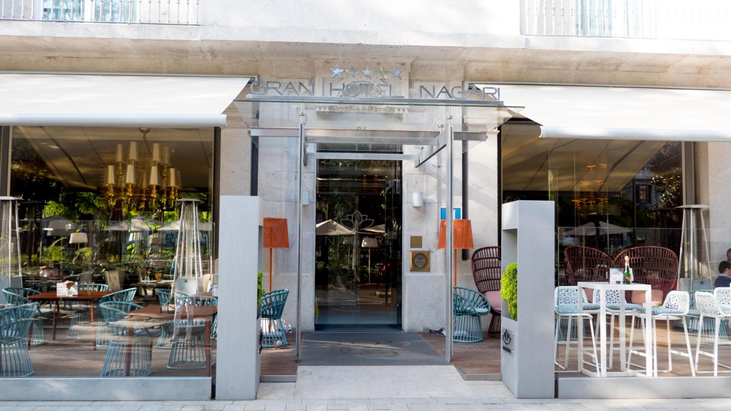
Gran Hotel Nagari Boutique & Spa
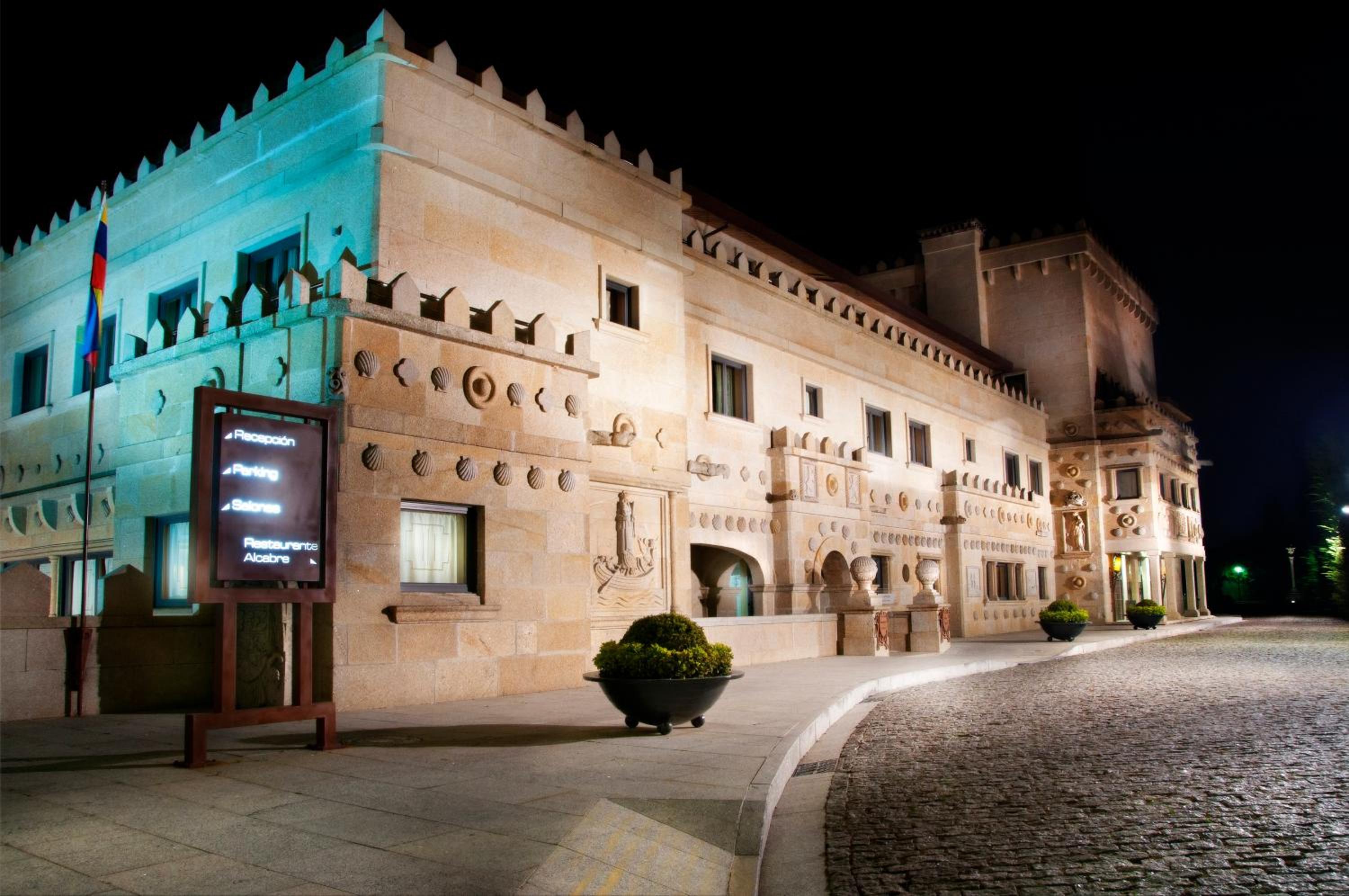
Pazo Los Escudos Hotel Spa & Resort
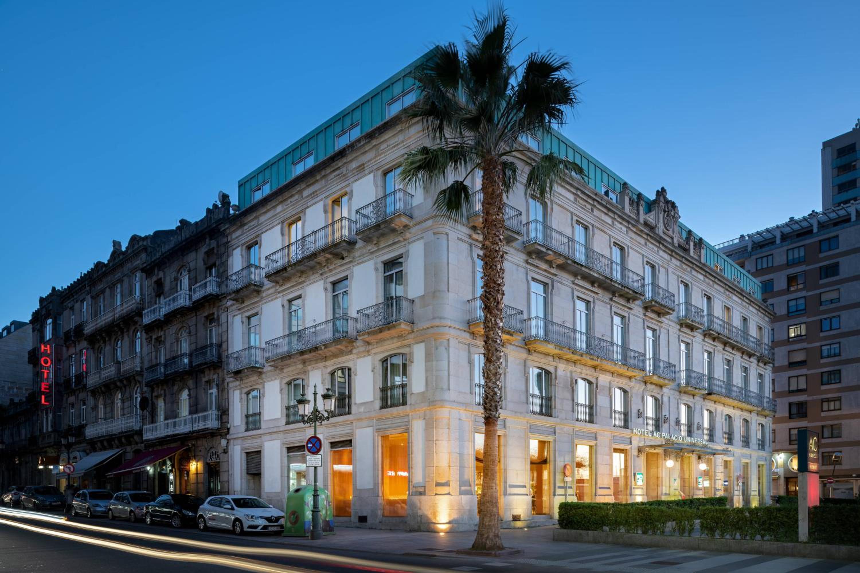
AC Hotel Palacio Universal by Marriott
Eurostars Mar de Vigo
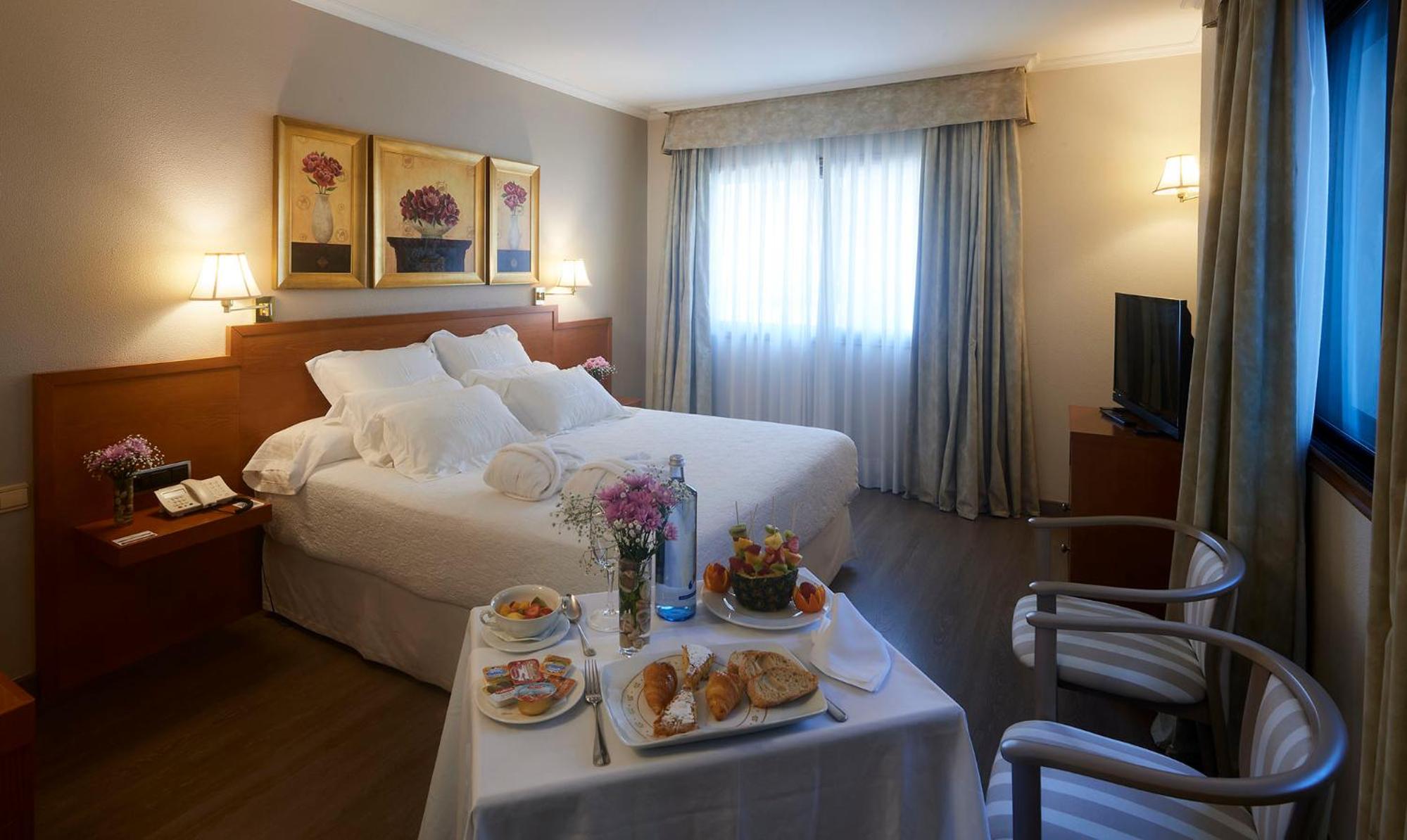
Galicia Palace
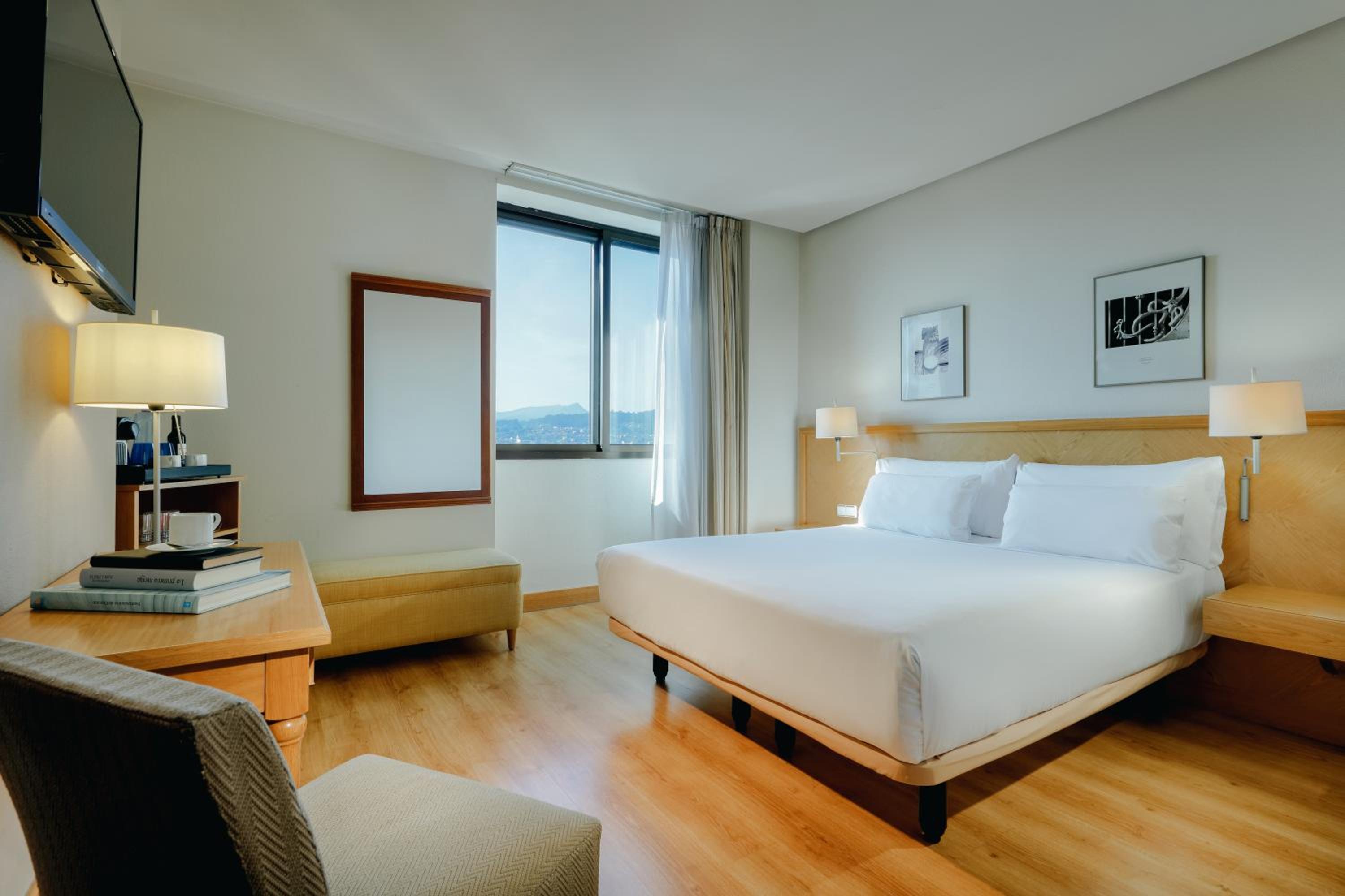
Hesperia Vigo
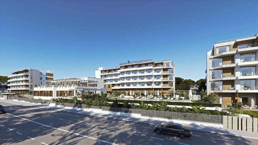
Hotel Attica21 Vigo Business & Wellness
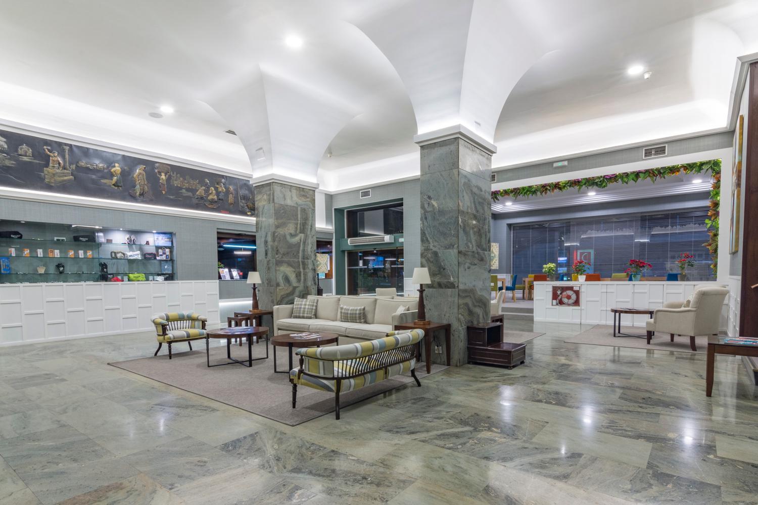
Hotel Bahía de Vigo
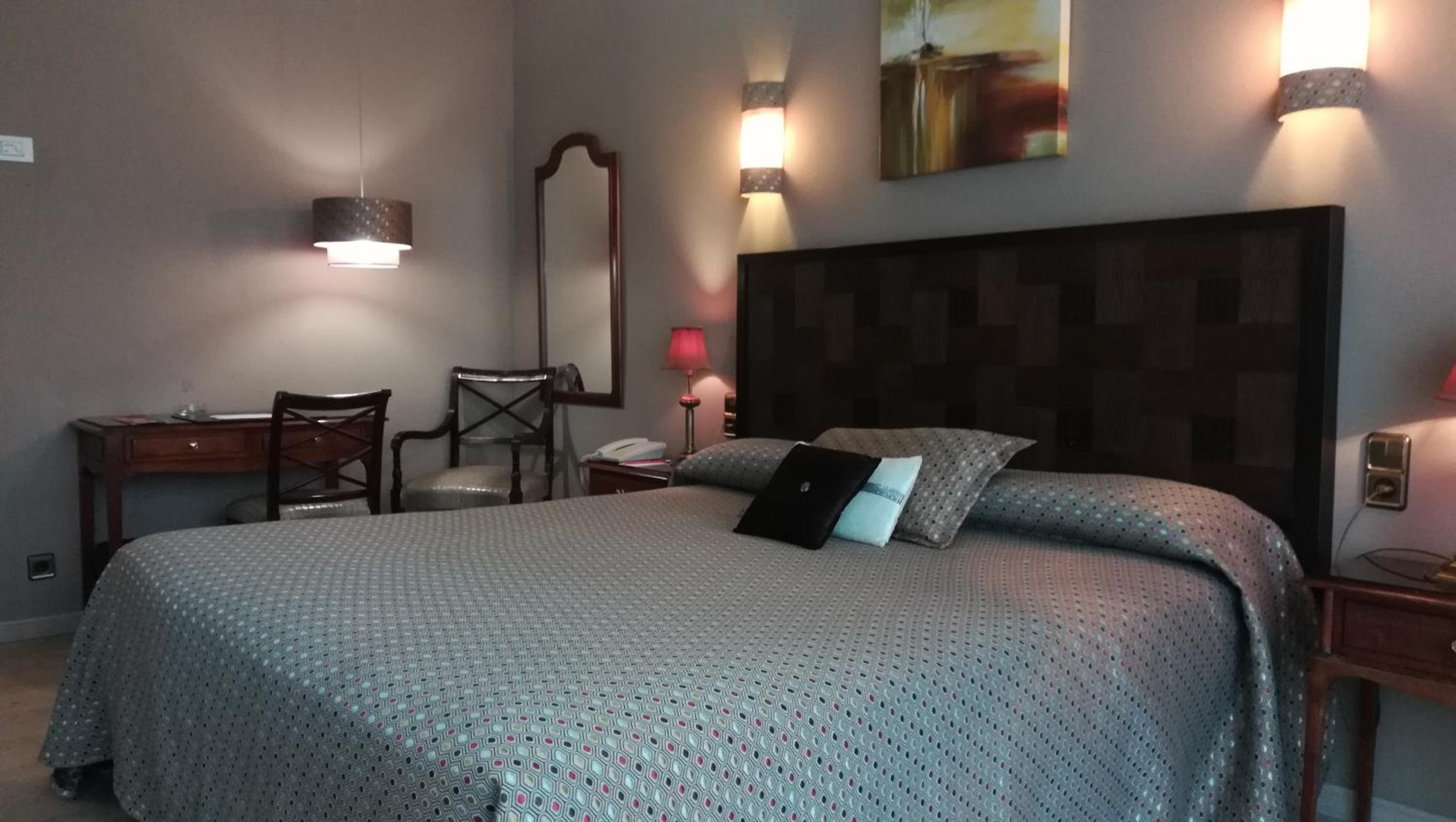
Hotel Ciudad de Vigo
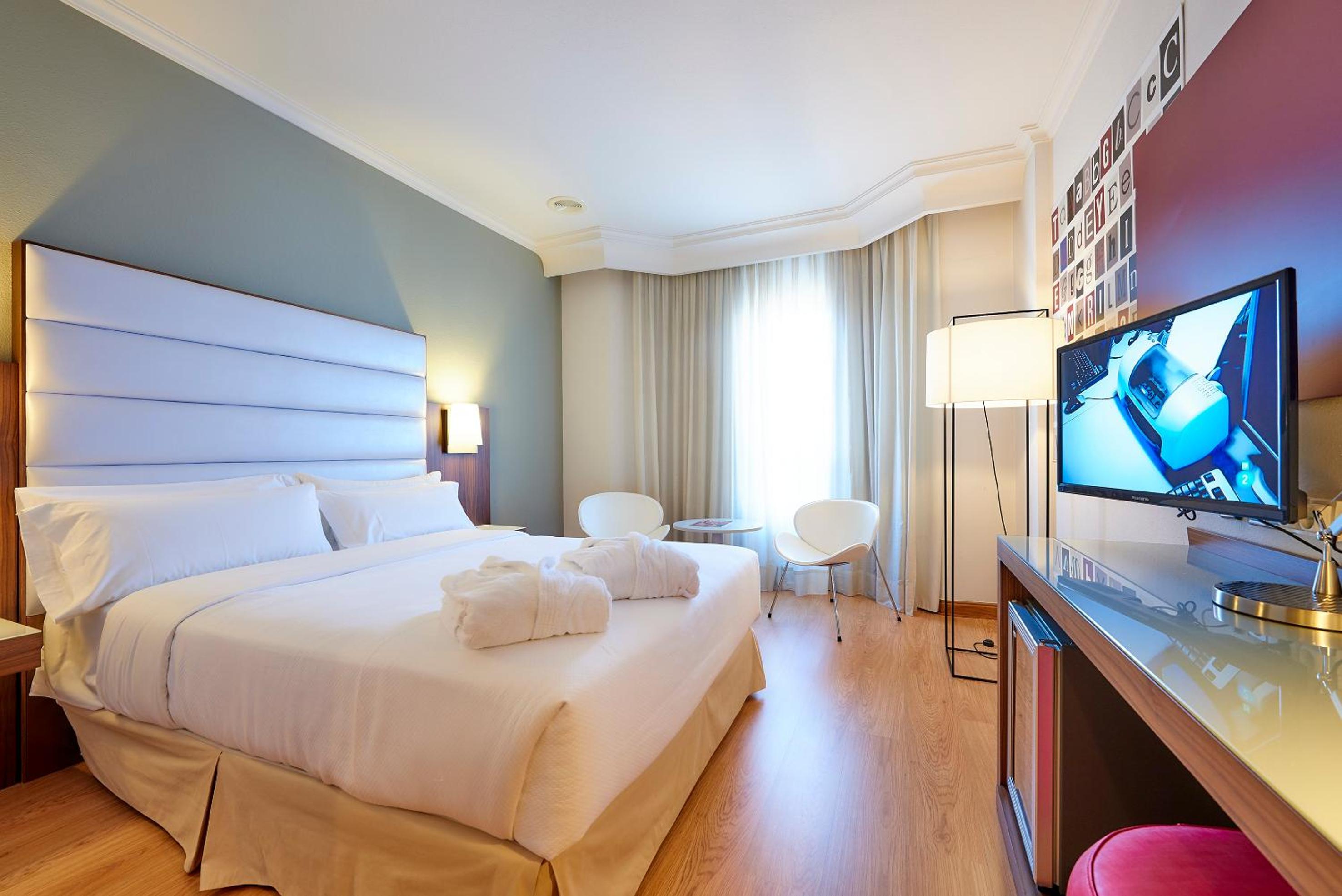
Hotel Vigo Los Galeones Affiliated by Meliá
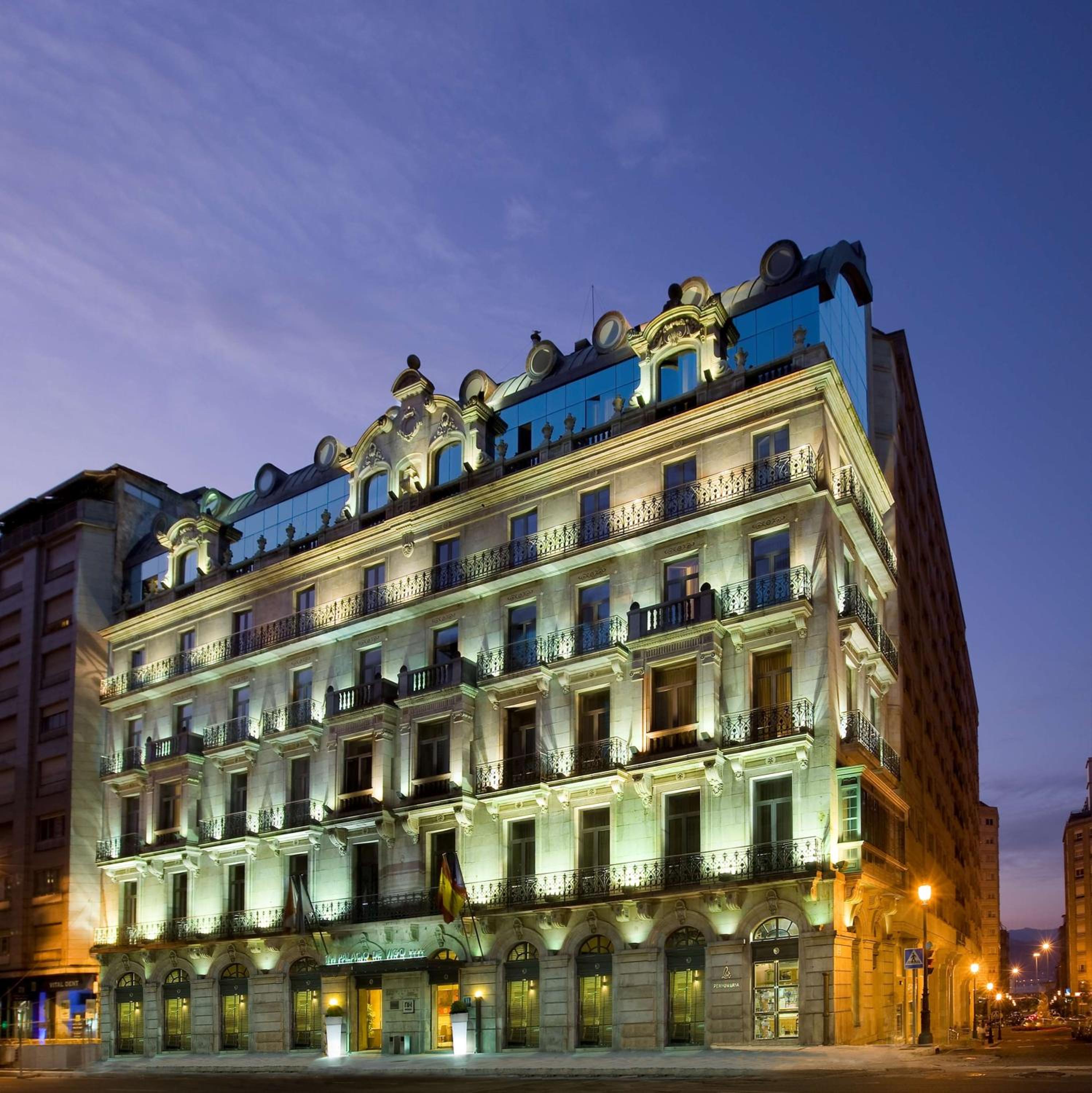
NH Collection Vigo
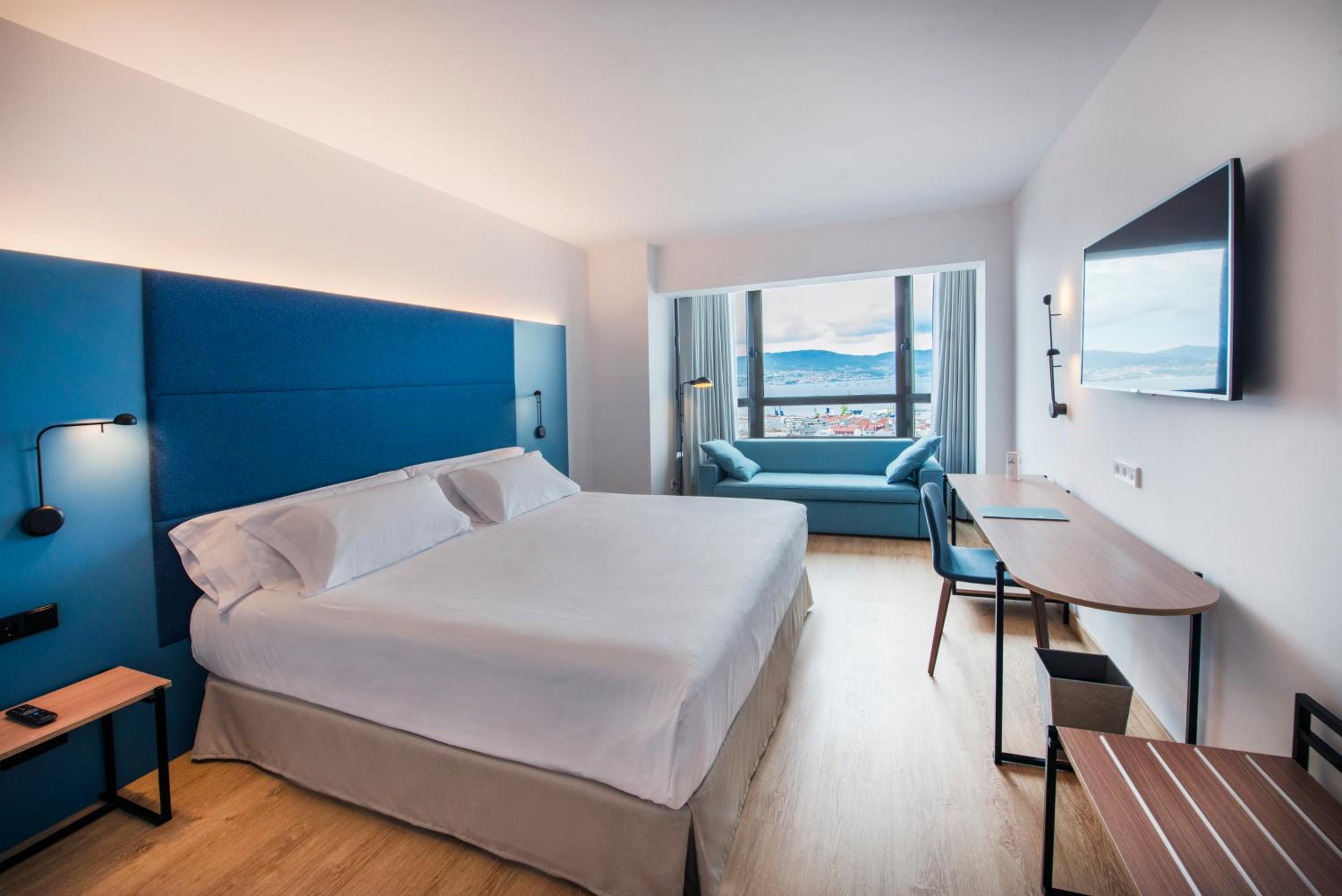
Occidental Vigo
Start your adventure
Ready to walk this stage?
We design your personalised Camino de Santiago experience.
Plan your CaminoWalk this route with us
Fancy walking this route?
We don't have a ready-made package for this route yet, but we'll organise it around you. Tell us how you'd like to experience it and a specialist will reply within 24 h.
Request your proposal