Camino de Santiago
South Camino of Huelva
The South Route of Huelva connects the Onuban capital with Zafra (Badajoz), serving as a link to the Via de la Plata. A journey through marshes, the Andévalo and Extremaduran scrublands.
Organize your South Camino of HuelvaLast updated: 21/05/2025
The Route
General Description of South Camino of Huelva
Related Routes
Connections of South Camino of Huelva
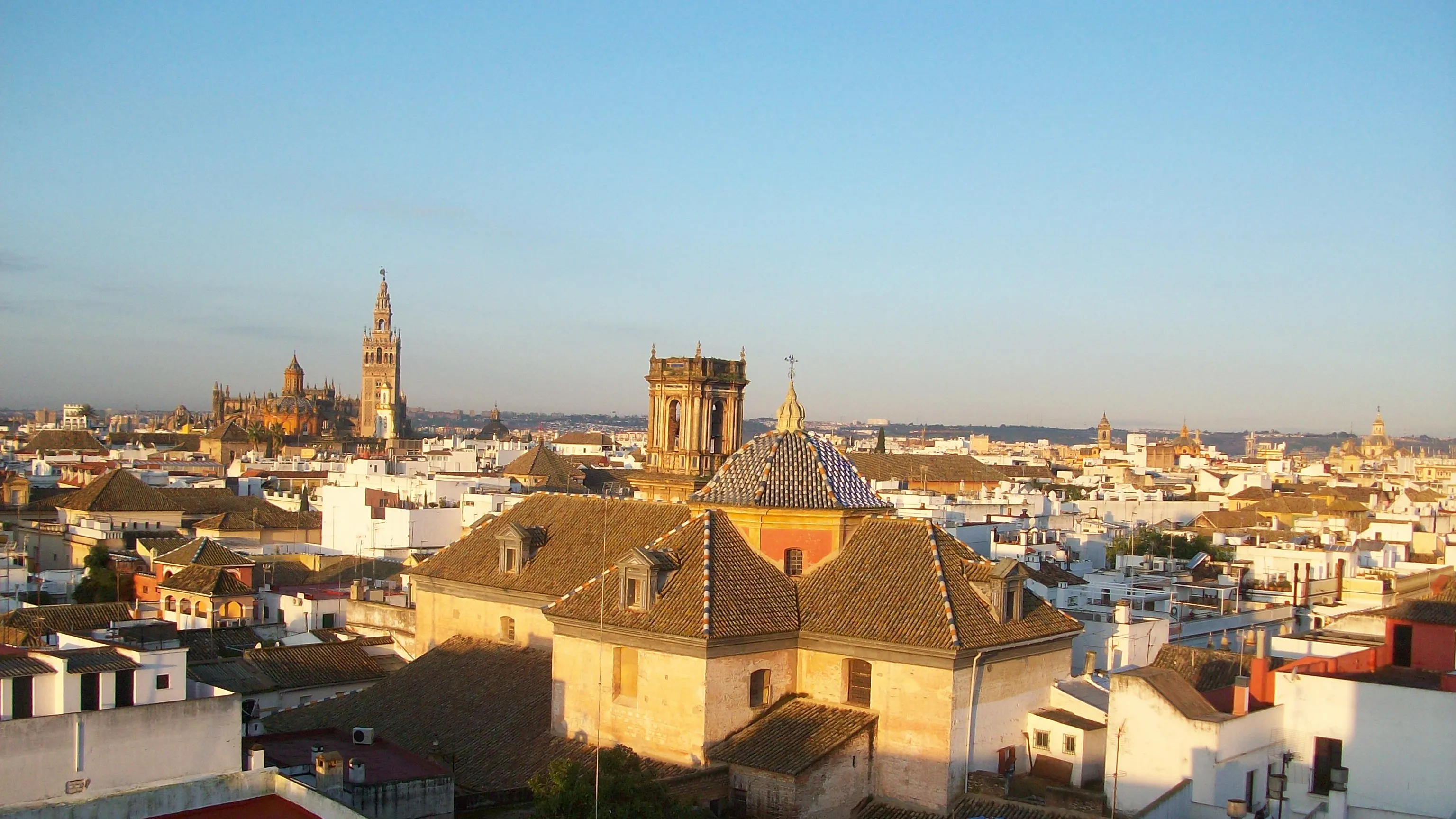
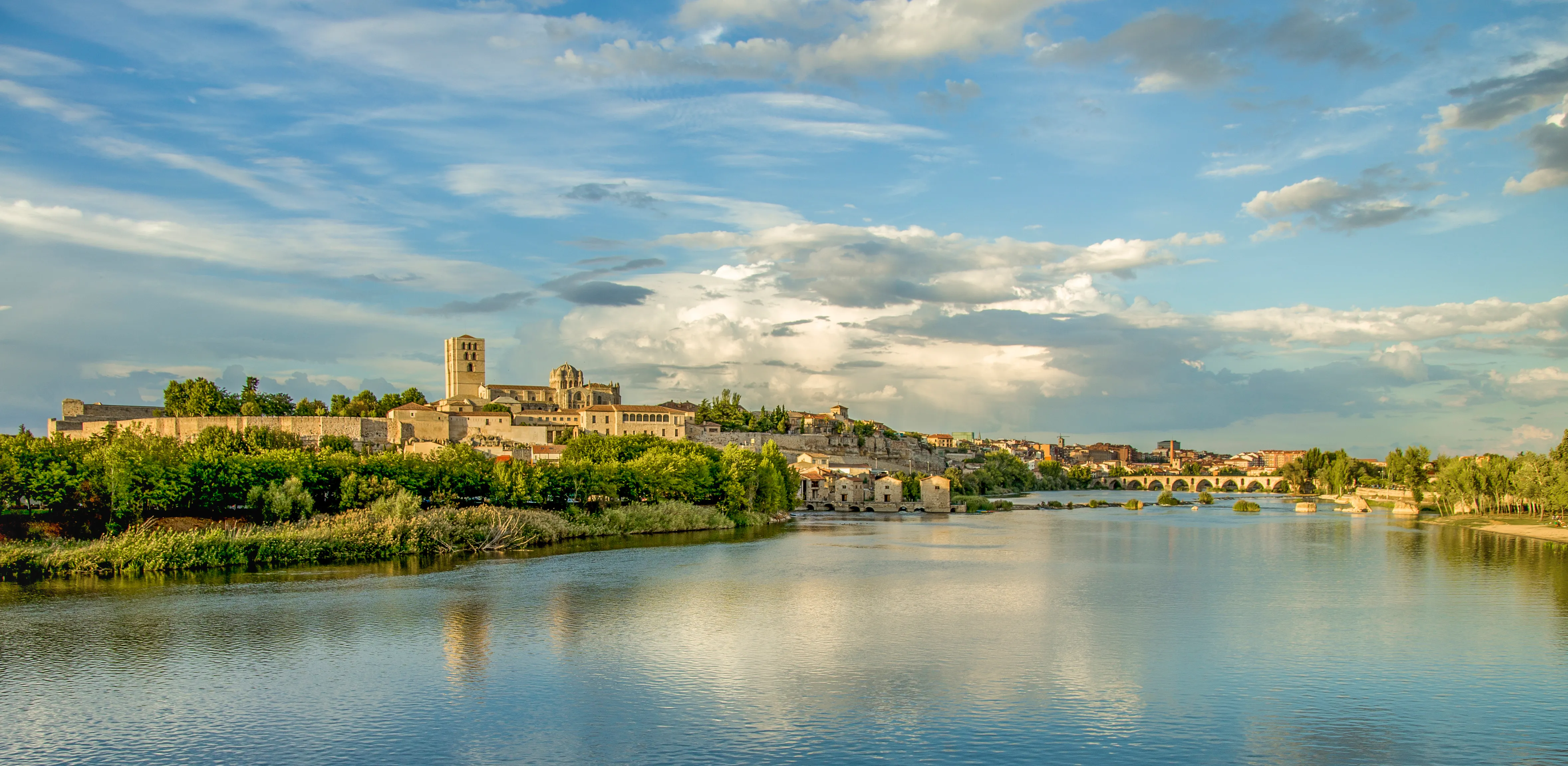
Way of the Plate
963.6 km
38
High
The Silver Way (La Vía de la Plata) is the longest of the Camino de Santiago paths in Spain, with almost 1000 km. Its route, which starts in Seville, largely follows the ancient Roman road that connected Mérida to Astorga. It traverses Andalusia, Extremadura and Castile and León, offering pilgrims two options in Granja de Moreruela (Zamora): continue on to Astorga to link with the French Way or take the Sanabrés Way directly to Galicia.
It is a route of immense historical and monumental wealth. Due to its length and high temperatures in its southern section, it requires excellent planning. It offers diverse landscapes, from the extreme dehesas to the plains and mountains of Castile and León.
Stages of this variant:
Stage 1: Seville to Guadahortuna
Stage 2: Guillena to Castilblanco de los Arroyos
Stage 3: Castileja del Pinar to Almaden de la Plata
Stage 4: Mondovino to Monestier-de-Clermont
Stage 5: Monastery at Fuente de Cantos


Your trip with Ourway
Everything you need for your Camino
No hassle. Your perfect route, from start to finish.
Accommodation
Selected hotels and hostels at every stage
Luggage transfer
Your backpack travels from stage to stage
Camino Guide
Detailed map with directions and services
24h Support
Team available for any unforeseen event
Pilgrim credential
Official documentation included
No commitment
Free personalized consultation
Stages
Stages of South Camino of Huelva
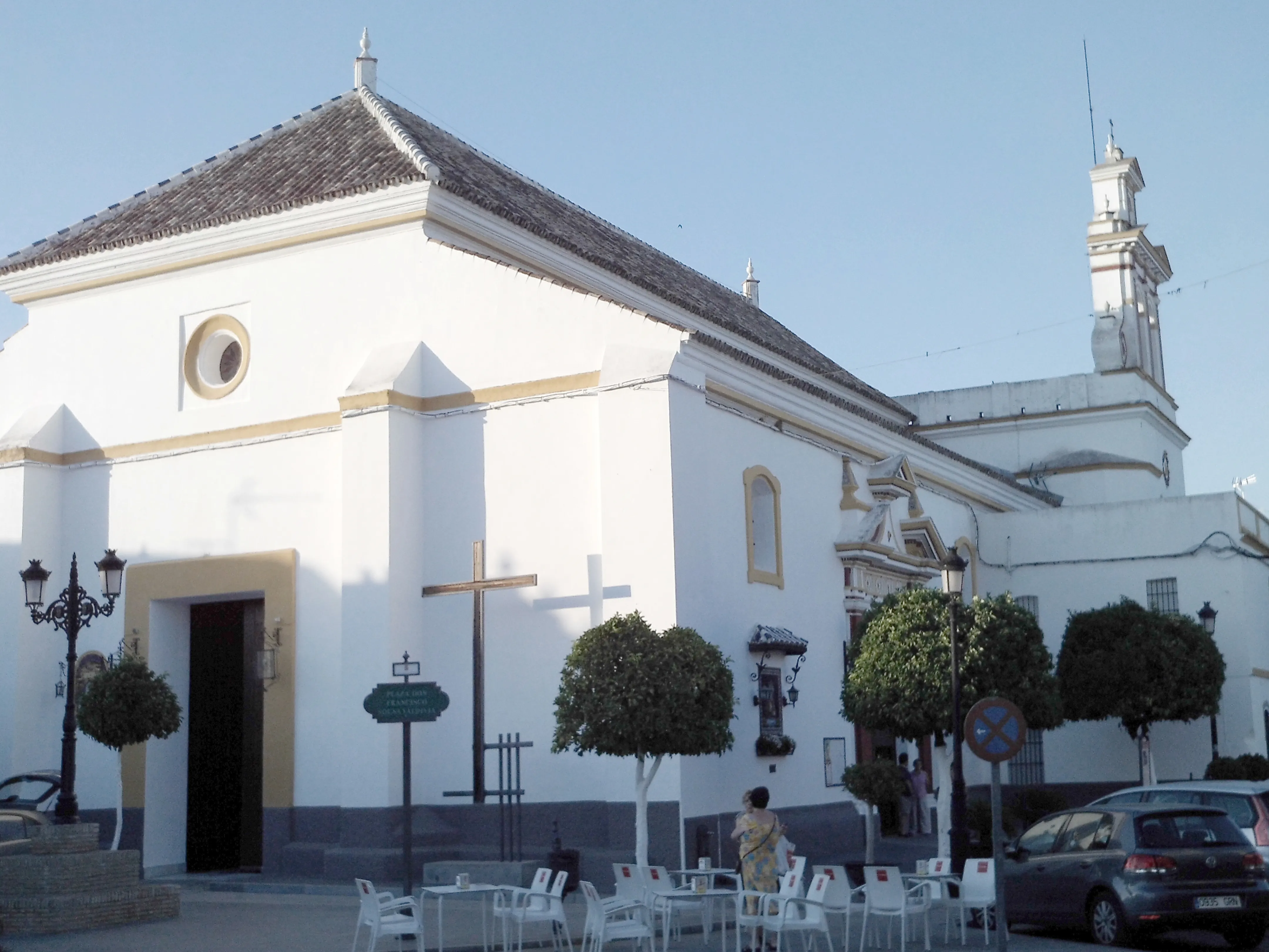
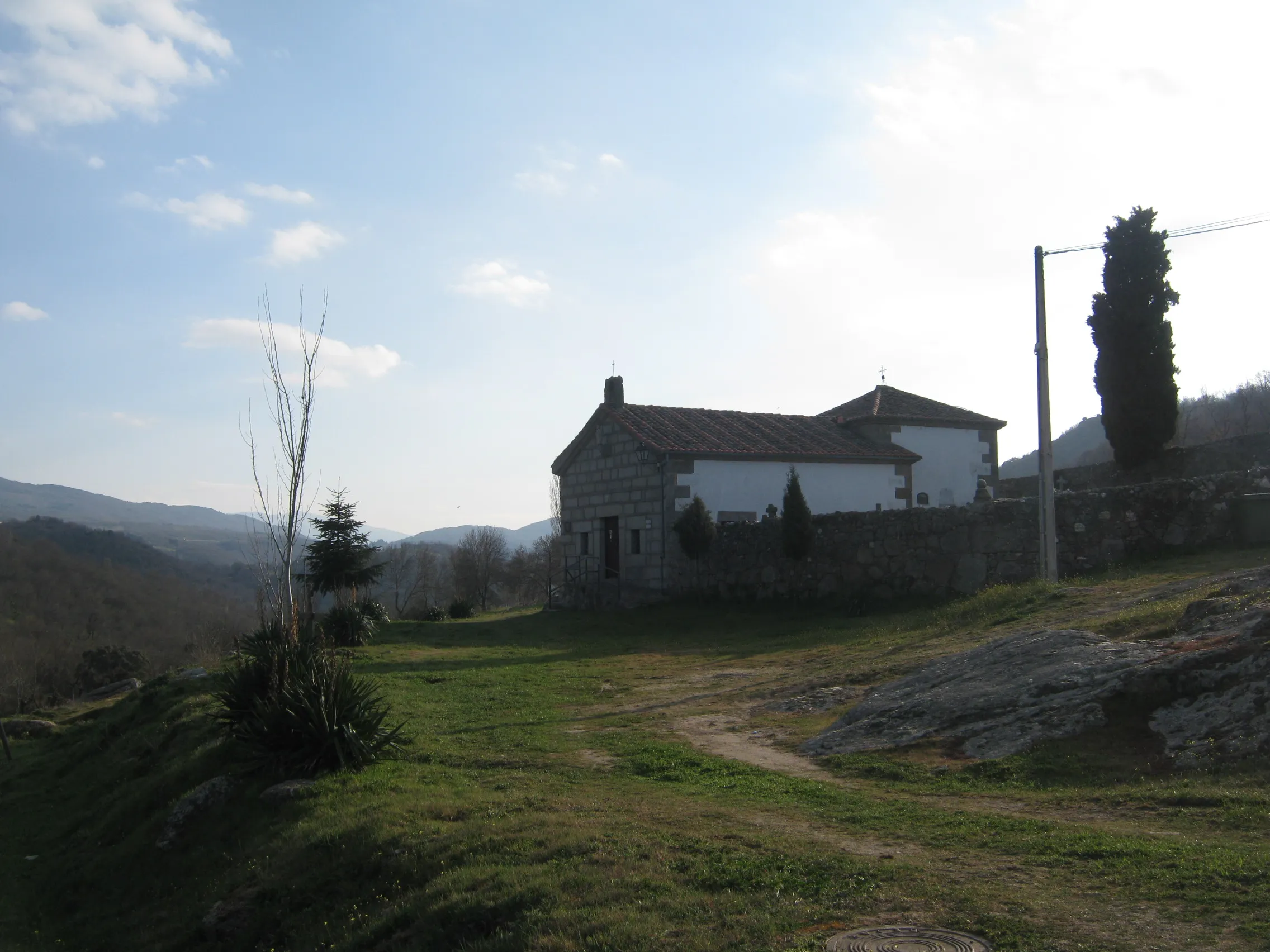
Huelva → Trigueros
This stage continues across the Plain of Tierra de Campos, in flat terrain with no difficulties. The landscape remains dominated by cereal fields. It is a transition day that brings the pilgrim close ...
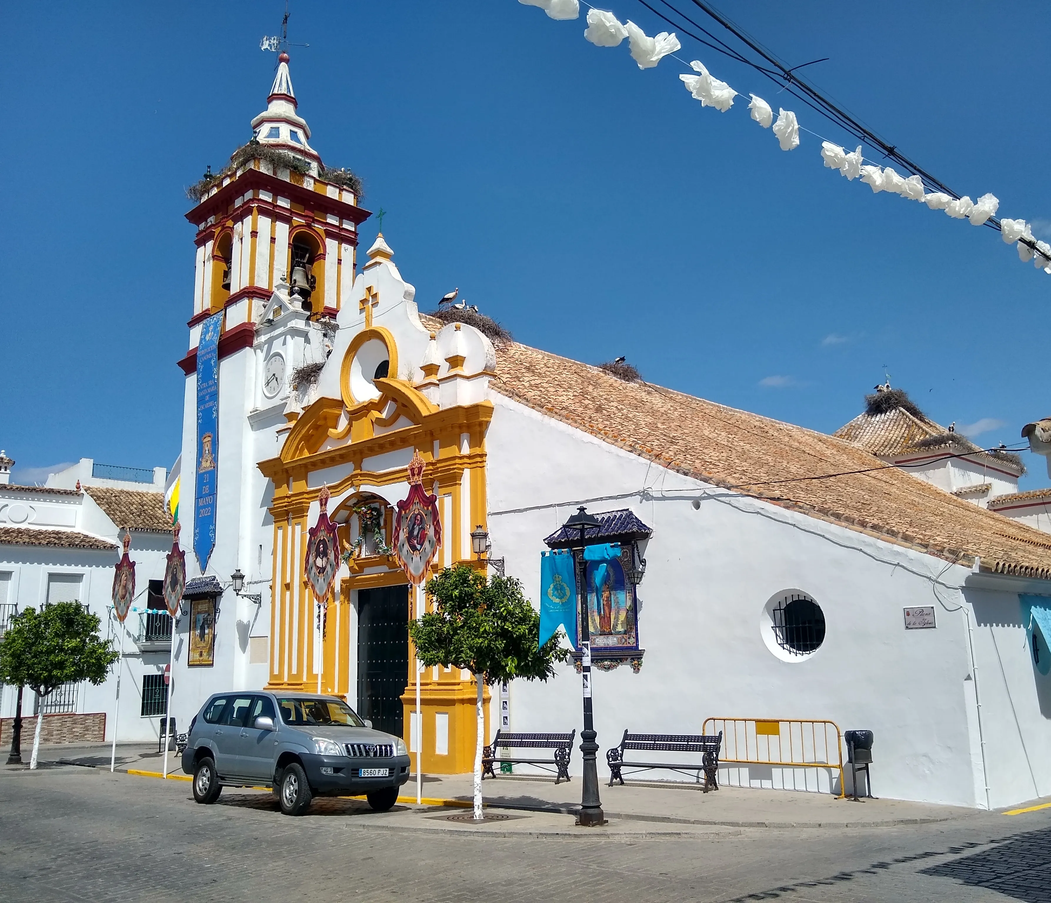
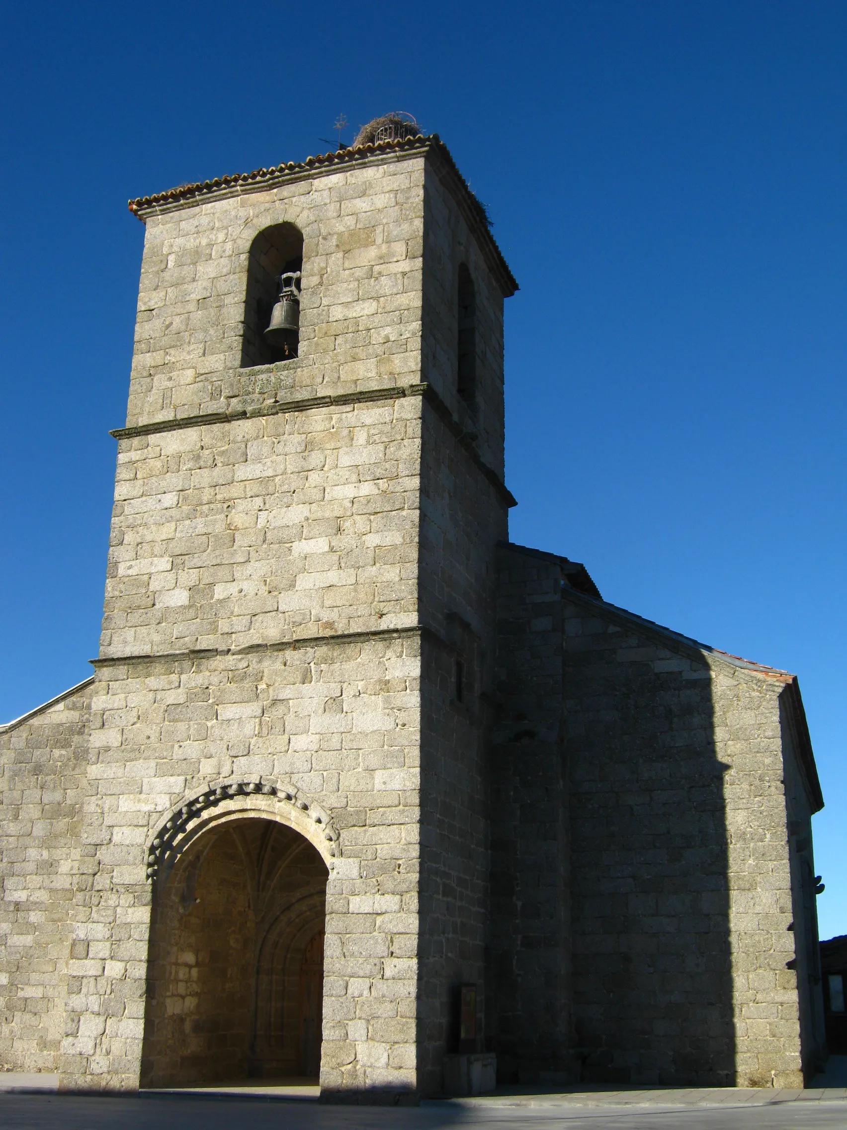
Trigueros → Valverde del Camino
Stage of the Camino del Sur de Huelva (also called Camino Real). The 22 km link Trigueros with Valverde del Camino through the Andévalo region of Huelva, a landscape of pastures, vineyards of Condado ...
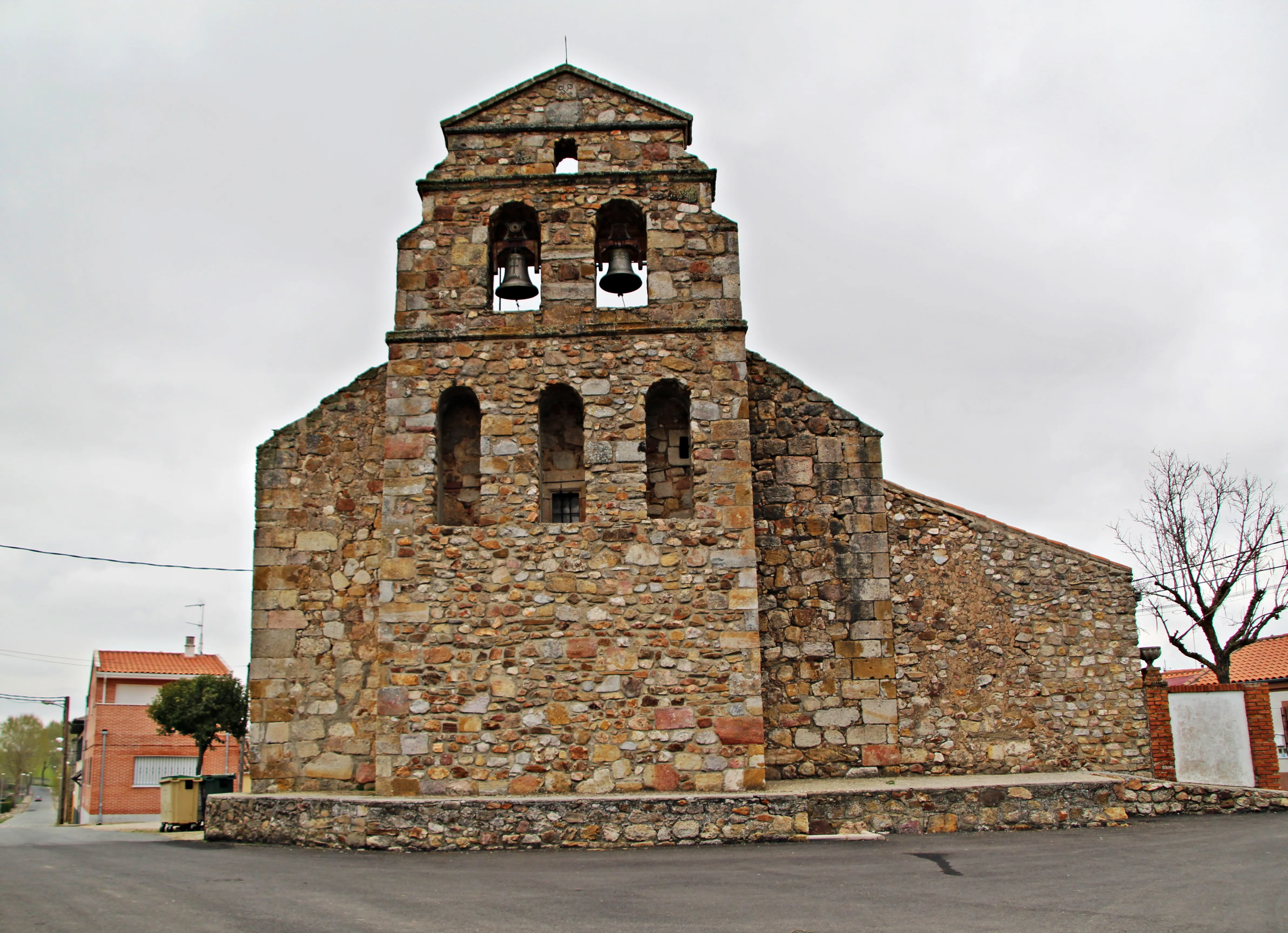
Valverde del Camino → Minas de Río Tinto
The first stage of the Southeastern Way takes the pilgrim out of the great city of Valencia. The route is entirely flat and runs through the fertile Valencian huerta, a landscape of orange groves and ...
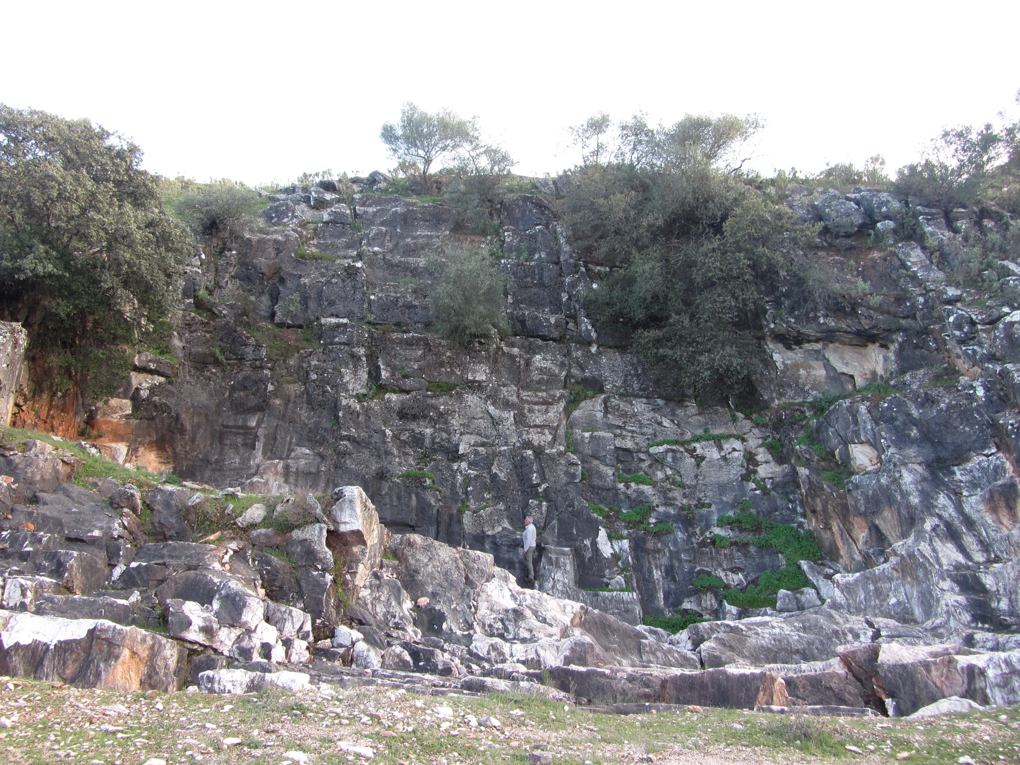
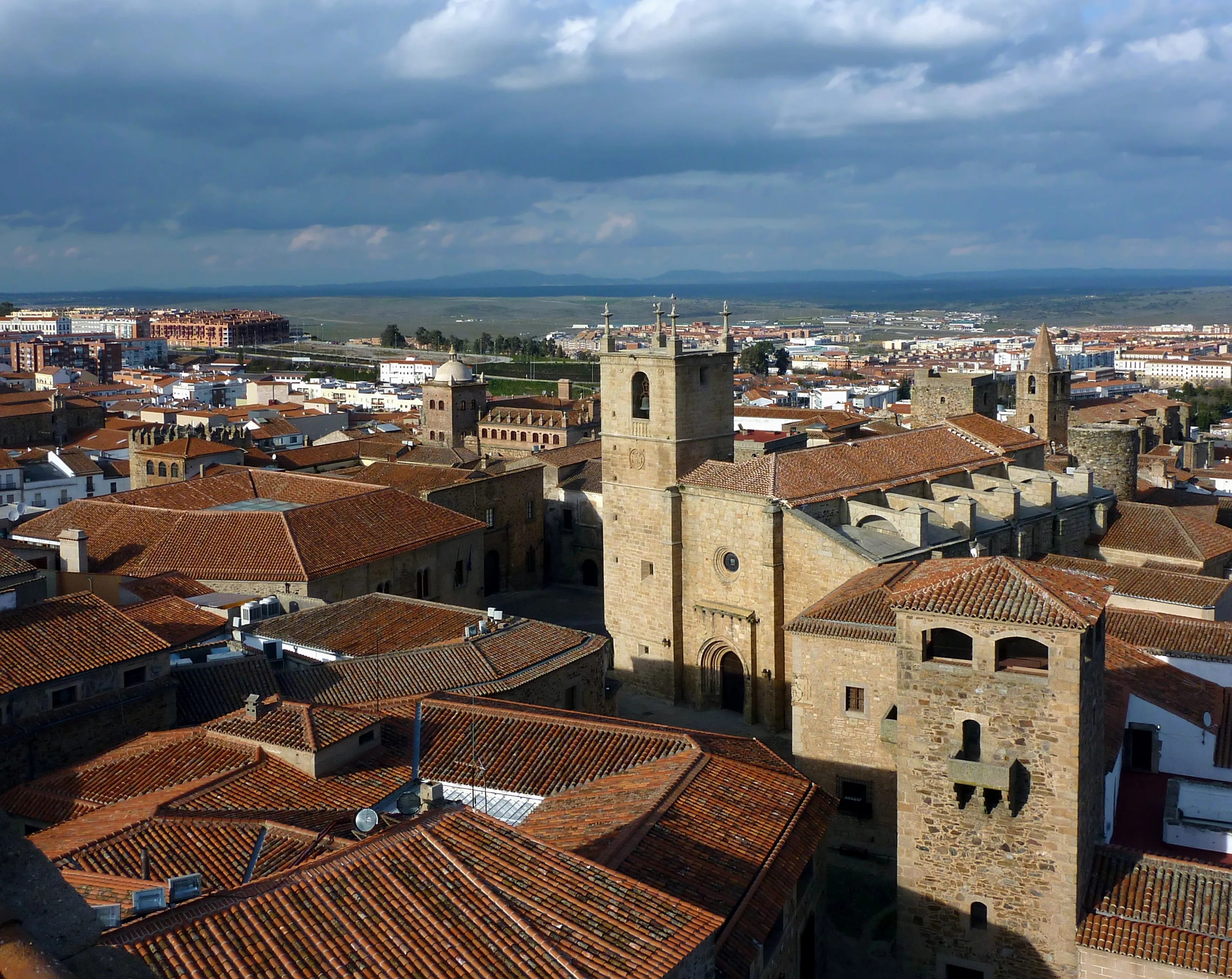
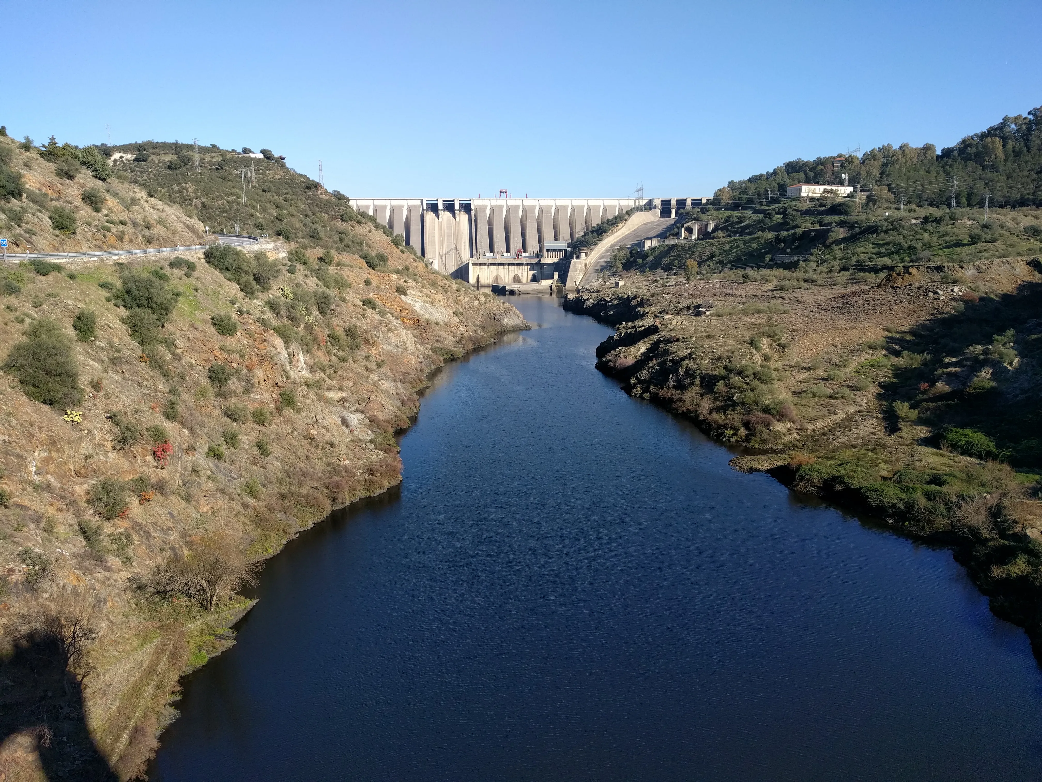
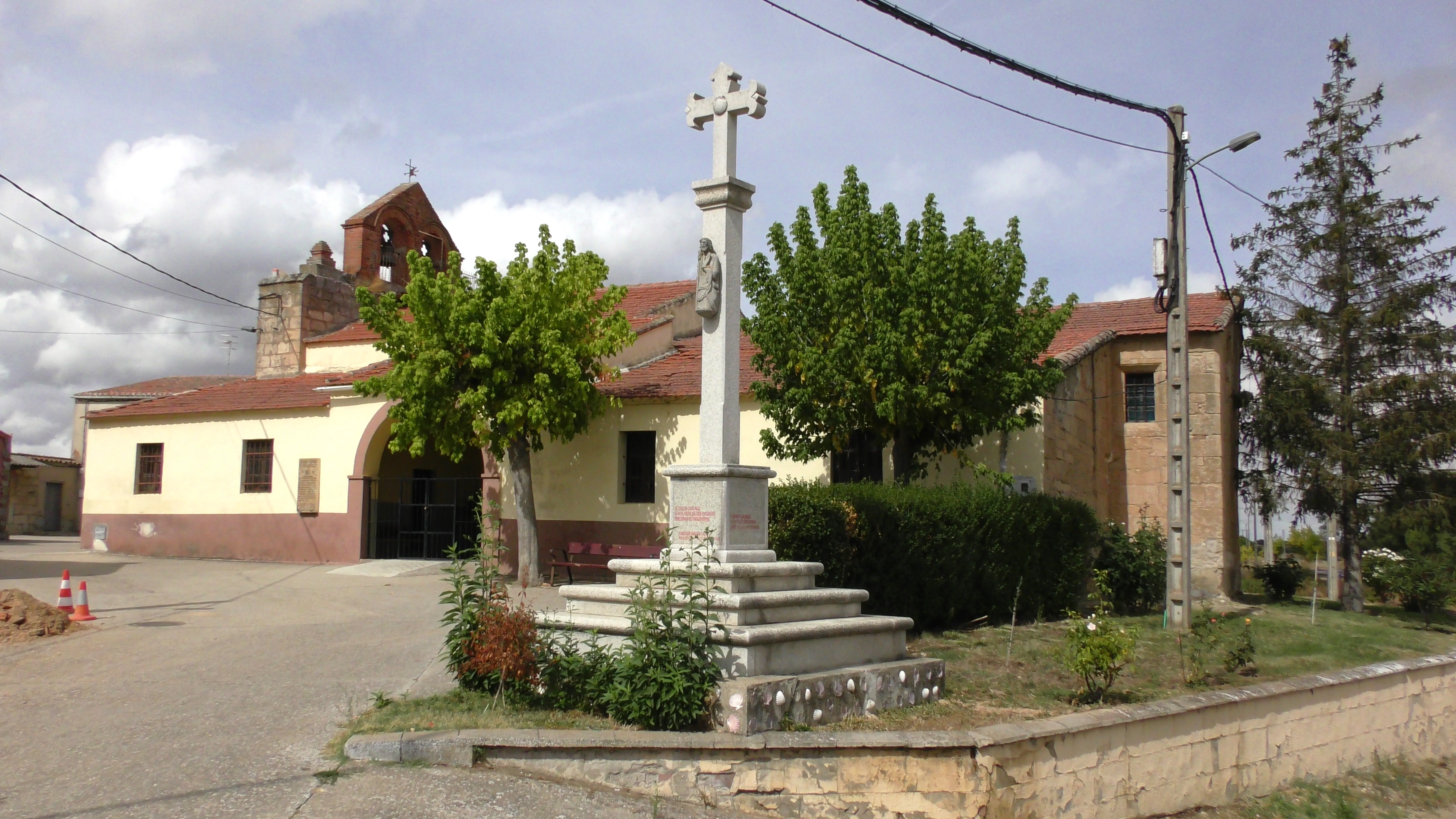
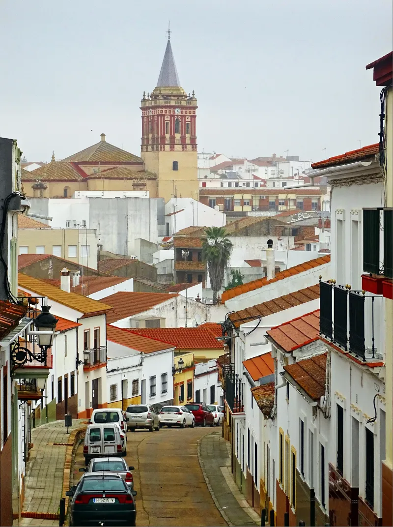
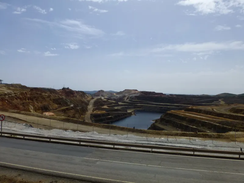
Minas de Río Tinto → Aracena
Spectacular stage that climbs from the mining basin of Rio Tinto (with its famous lunar landscapes of reddish tones where NASA simulates Mars) to the Sierra de Aracena. The 30 km have an ascending pro...
Aracena → Cañaveral de León
Stage through the Sierra de Aracena and Picos de Aroche, a natural park of great biodiversity. The 30 km run through pastures of oaks and cork oaks, habitat of the Iberian pig that produces the Jabugo...
Cañaveral de León → Valencia del Ventoso
Transition stage from the Sierra de Aracena to the region of Tentudía, in the province of Badajoz. The 30 km cross the border between Andalusia and Extremadura along traditional paths between pastures...
Towns
Featured Towns of South Camino of Huelva
Explore the key towns and cities of this route.
History
Millenary History of the Camino de Santiago: Origins and Evolution South Camino of Huelva
Discover the origins and evolution of South Camino of Huelva
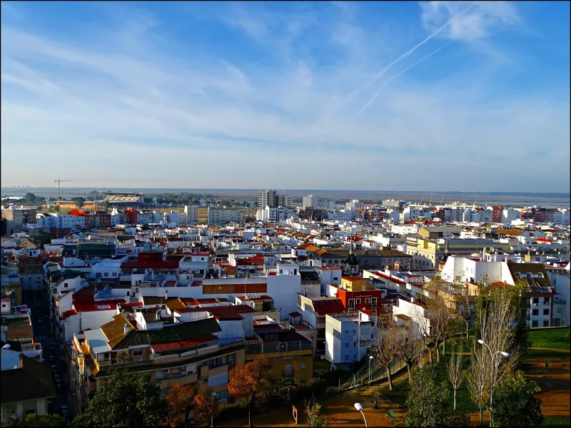
The province of Huelva has been an intersection of cultures since antiquity and a starting point for the unknown. It was the cradle of the Tartessian civilization and an important mining enclave for the Romans, as evidenced by the Riotinto mines. Its moment of greatest universal glory came in 1492 when three caravels from Christopher Columbus set sail from Palos de la Frontera. This deep connection with the sea and navigation has shaped the region's character. In this context, devotion to St James also took root, and Onubese pilgrims who wanted to travel to Santiago sought the most logical route to join the great interior roads.
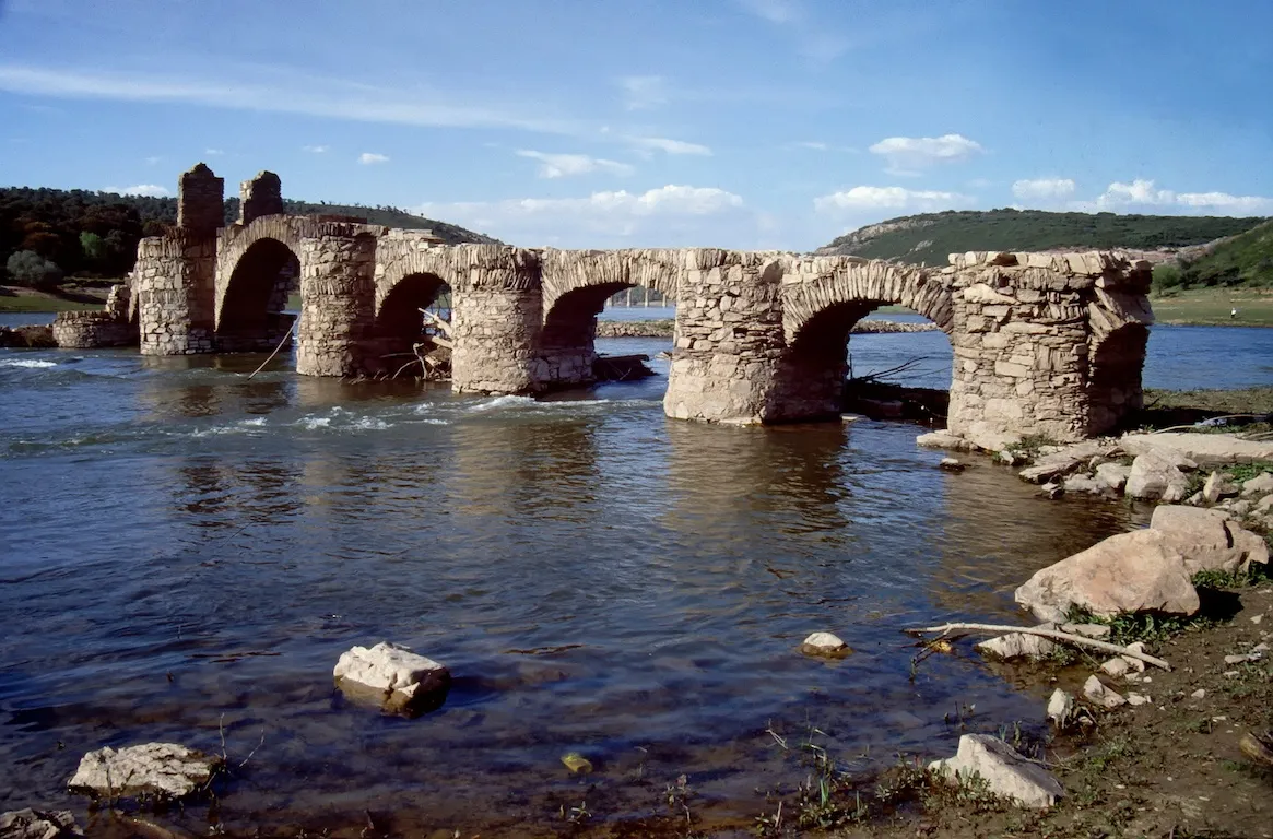
The South Route of Huelva was born as that logical connection. Instead of taking a long detour east to start the Via de la Plata in Seville, this itinerary charts a direct diagonal northwards, seeking to link up with the same Via de la Plata in the important city of Zafra, already in Extremadura. This shortcut saved several days' journey and followed established trade routes and transhumance paths.
The route's path is a showcase for the diversity of Huelva province's landscape. Starting from the capital, Huelva, and passing through the marshes and pine forests of "La Tierra Llana", it then enters the El Condado comarca famous for its wines before entering the Andévalo's faja pyritic region, a zone with long mining tradition that has shaped its landscape. Localities like Valverde del Camino emerged from this activity.
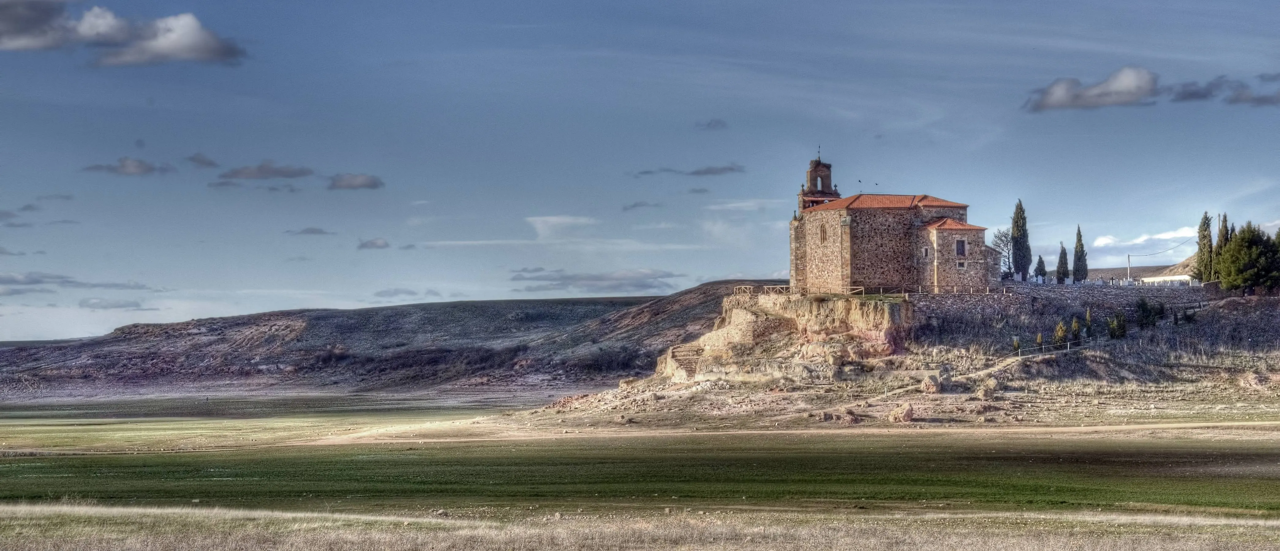
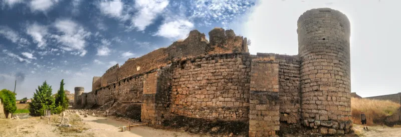
The most spectacular section is the crossing of the Sierra de Aracena and Picos de Aroche Natural Park. Here, the landscape transforms into a mountainous and wooded terrain, a mosaic of oak, alcornoque, and chestnut forests that form the dehesa ecosystem where Iberian pigs are bred. The path passes through the capital of the comarca, Aracena, famous for its castle and above all for the Gruta de las Maravillas, an impressive underground cave.
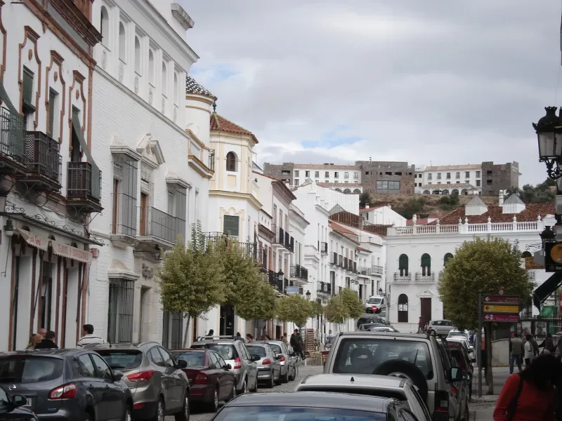
After passing over the mountain range, which acts as a natural border, the pilgrim descends into Extremadura's plains to reach their destination: Zafra, in the province of Badajoz. Zafra, known as "Seville the Little", was an important medieval town with a magnificent castle and bustling market, a perfect place for Huelva pilgrims to join the Via de la Plata flow and continue their journey northwards.
The recovery and signage of this path are recent efforts, driven by local associations and the Huelva Diputación to showcase this heritage. Today, the South Route of Huelva offers an authentic pilgrimage experience and a little-traveled route, a journey through history from the Atlantic Ocean's light and echoes of the discovery of America to the heart of Extremadura's dehesa.
We answer your questions
Frequently Asked Questions about South Camino of Huelva
How many kilometers does the Camino Sur de Huelva cover and how long is the journey estimated to take?
The Camino Sur de Huelva spans a total distance of 164 km, which typically takes about 7 days to complete. This route offers diverse landscapes from marshlands to dehesas and allows pilgrims to enjoy the history and culture of Andalusia and Extremadura.
Which is the best time of year to start the Camino Sur de Huelva?
The best period to undertake the Camino Sur de Huelna is between April and October, when temperatures are more pleasant and rainfall is lower. May and September are particularly recommended for their perfect balance of warm but not excessively hot weather and fewer pilgrims compared to summer.
What does the reservation for the Huelva South Route managed by Ourway Travel include?
The reservation of the Huelva South Route through Ourway Travel includes full management service, accommodation in selected hostels and hotels, as well as personalized advice to ensure the safest and most comfortable experience possible. Additionally, our team provides detailed information about the route and assistance with obtaining the pilgrim credential.
How does the Camino Sur de Huelna compare to other routes to Santiago in terms of difficulty?
The Camino Sur de Huelna is considered one of the less physically demanding routes, with a general difficulty level classified as low. This makes it ideal for those who want to enjoy the journey without significant technical challenges, allowing them to focus more on the culture and natural beauty of Andalusia and Extremadura.
What logistical aspects should be considered when starting the Camino Sur de Huelva?
An important detail for pilgrims is obtaining a pilgrim's credential, which is necessary at each stage. Additionally, Ourway Travel manages your backpack reservation and transportation between stations, allowing walkers to travel light and focus on enjoying the journey.
What is the approximate cost of the South Path of Huelna with Ourway Travel?
The cost for embarking on the adventure of the South Path of Huelva with Ourway Travel includes essential services such as accommodation, trip management, and route assistance. Specific prices may vary depending on chosen dates and options; however, a comprehensive package is provided to ensure an unforgettable experience.
How can I determine the best option for me between the Camino Sur de Huelna and other routes to Santiago?
Choosing a route to Santiago depends on various factors such as difficulty, duration, scenery, and local culture. The Camino Sur de Huelva is ideal for those seeking a less challenging journey yet rich in history and nature, connecting Andalusia with Extremadura before continuing towards Santiago.
How do I reserve my spot on the South Path of Huelva managed by Ourway Travel?
To reserve your place on the South Path of Huelva, you can contact Ourway Travel directly through our website or email. Our team will be happy to provide you with more information and personalized advice to ensure you have the best experience possible.
Organize Your Camino
Ready for this adventure?
South Camino of Huelva