Camino de Santiago
Way of the Plate
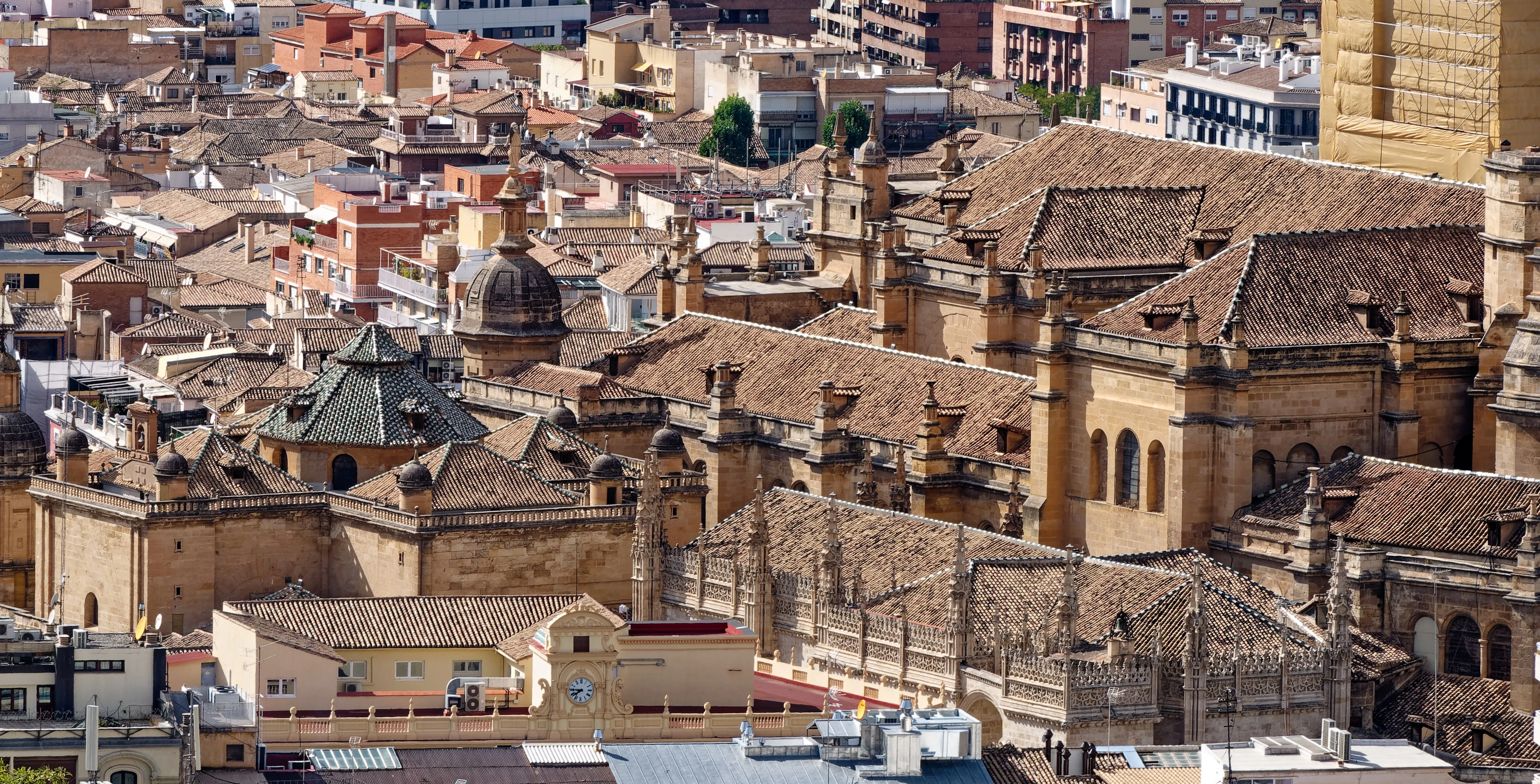
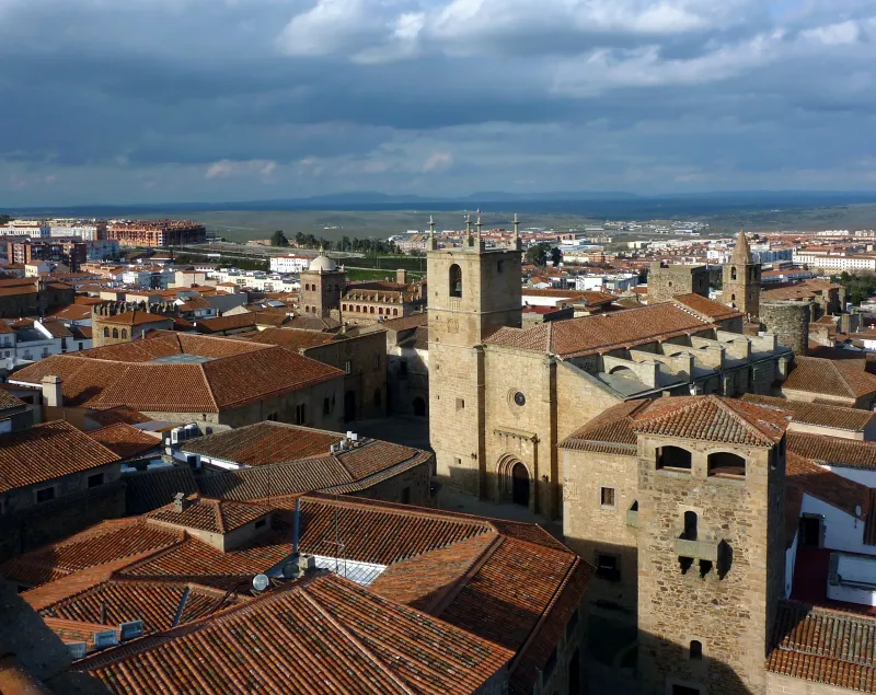
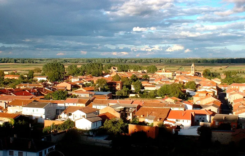
The Silver Way is the great Jacobean route of western peninsula. From Seville, it follows ancient Roman roads and unites Andalusia, Extremadura and Castile and León with Santiago.
Organize your Way of the PlateLast updated: 21/05/2024
The Route
General Description of Way of the Plate
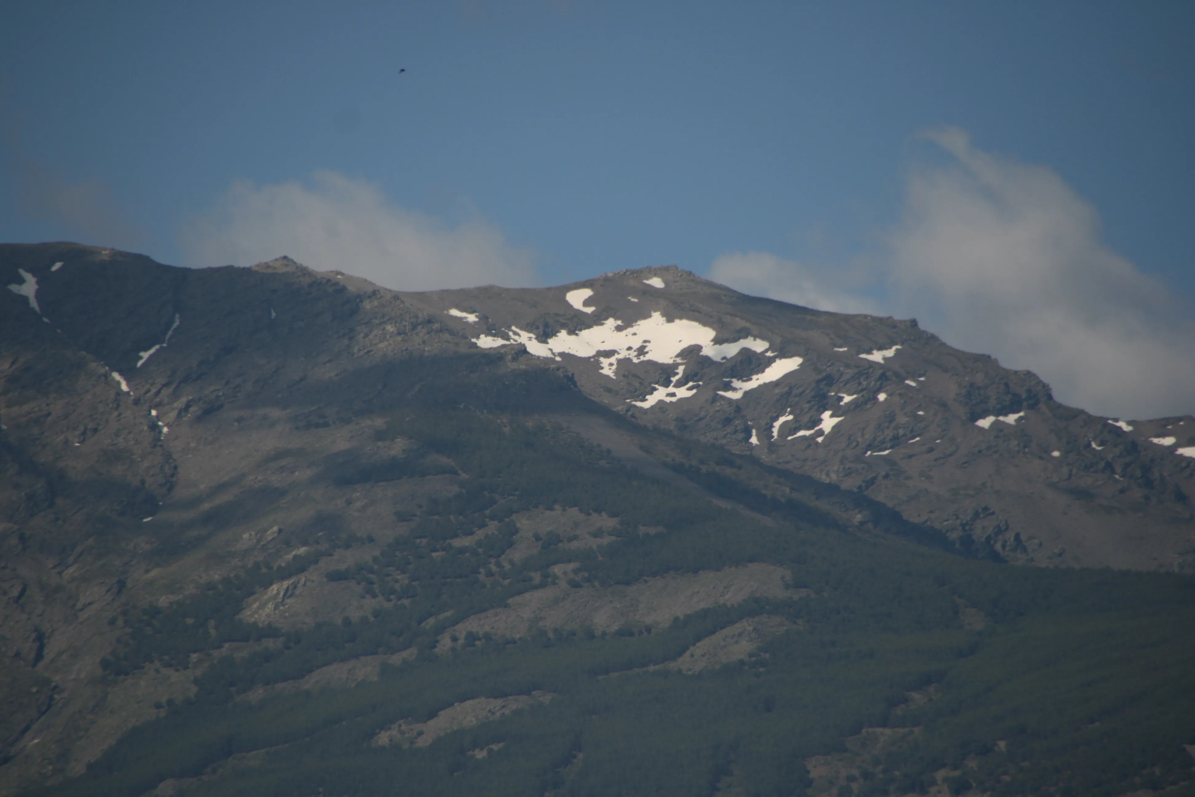
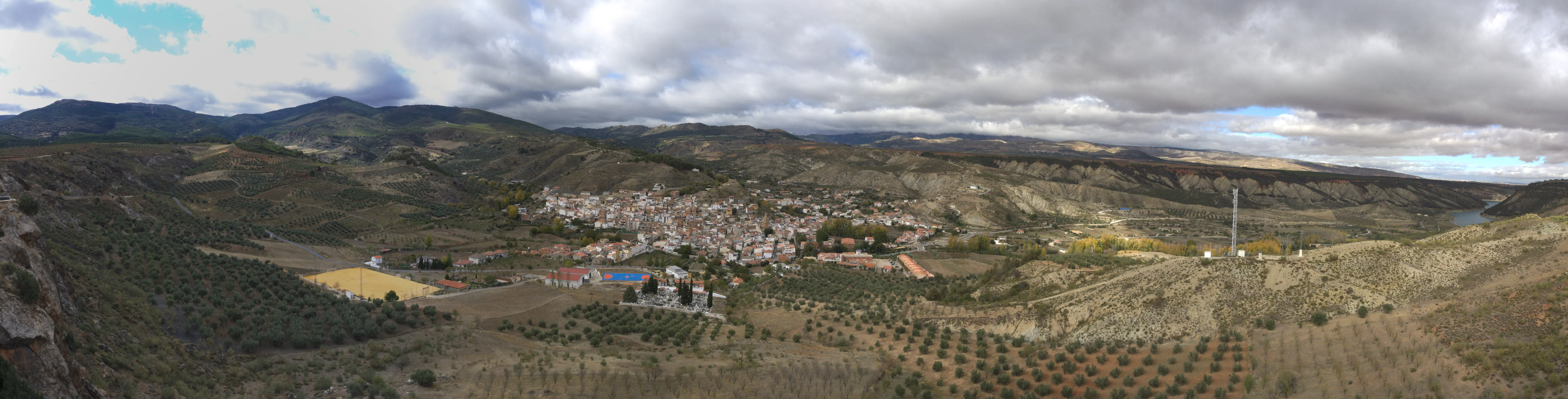
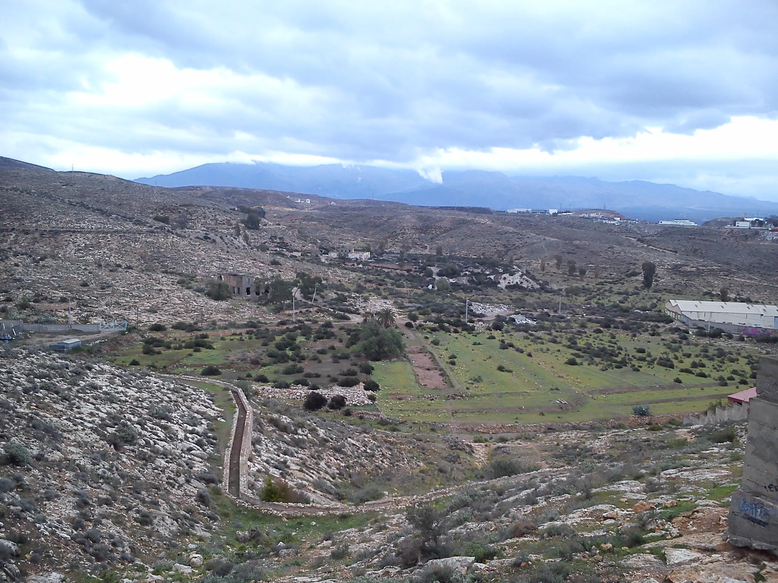
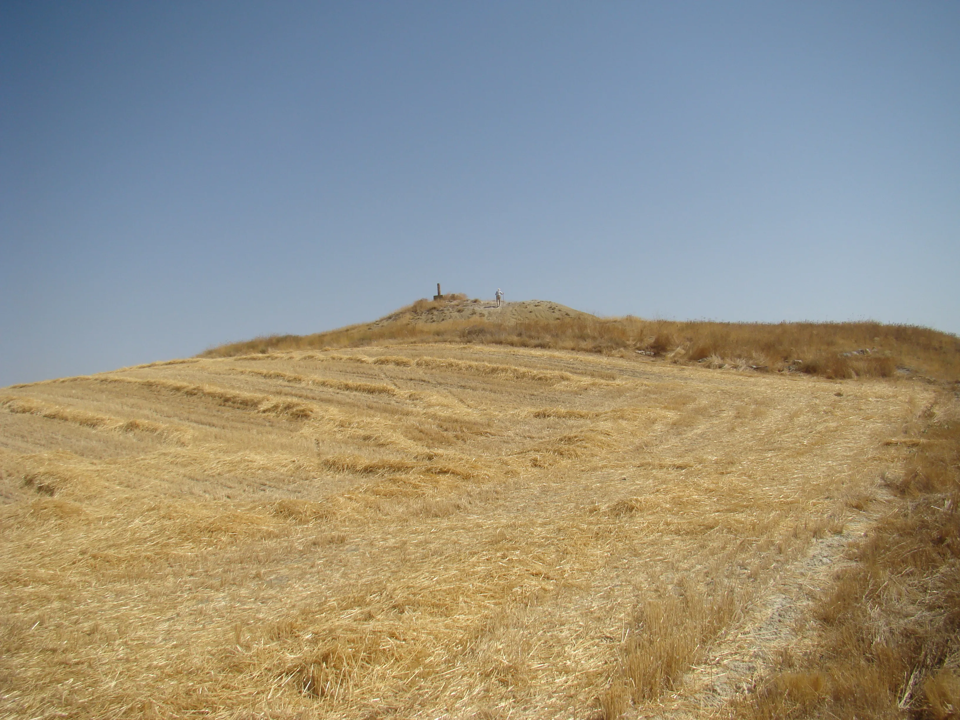
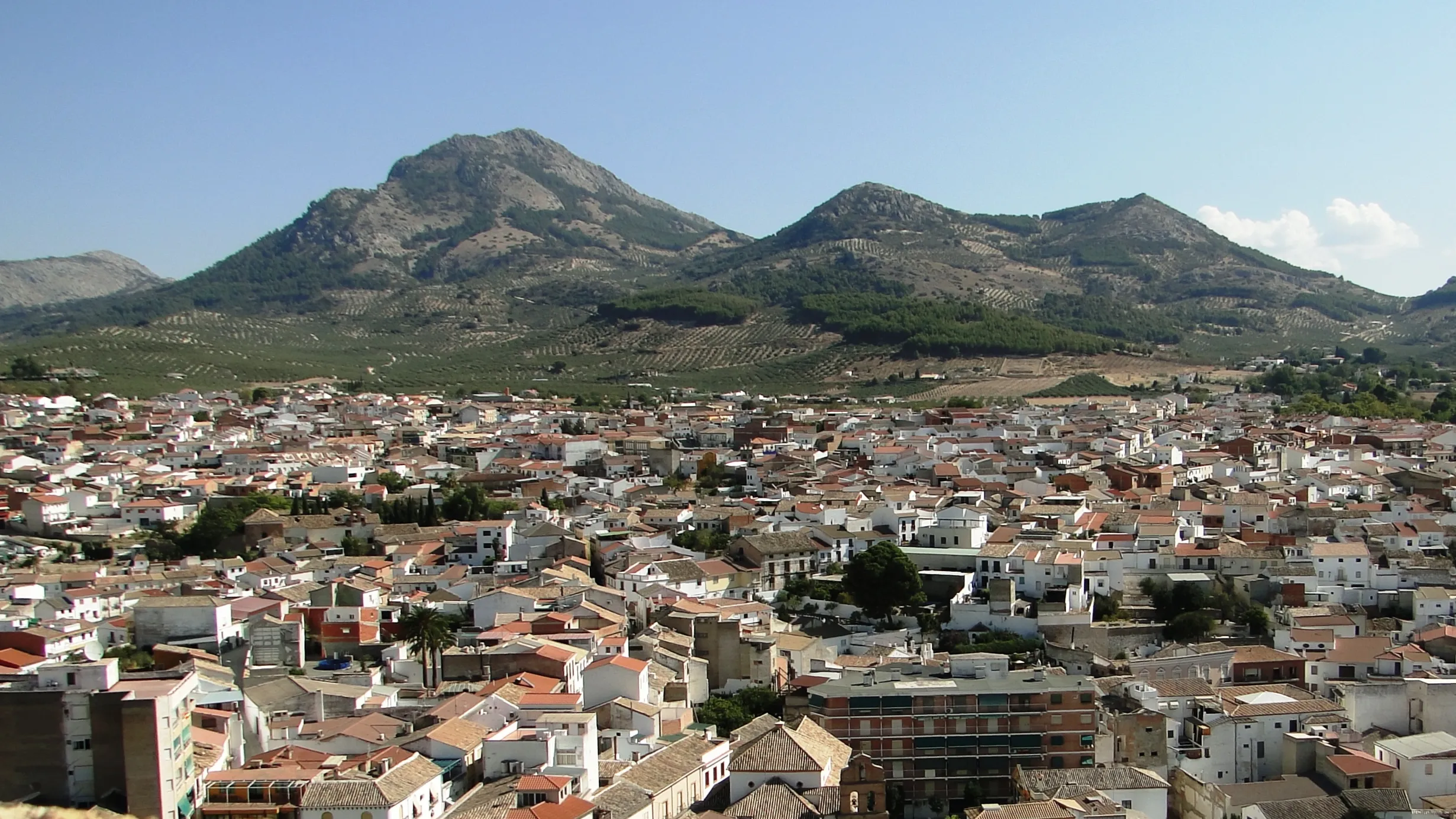
It is a route of immense historical and monumental wealth. Due to its length and high temperatures in its southern section, it requires excellent planning. It offers diverse landscapes, from the extreme dehesas to the plains and mountains of Castile and León.
Related Routes
Connections of Way of the Plate
East Coast Road
815 km
33
High
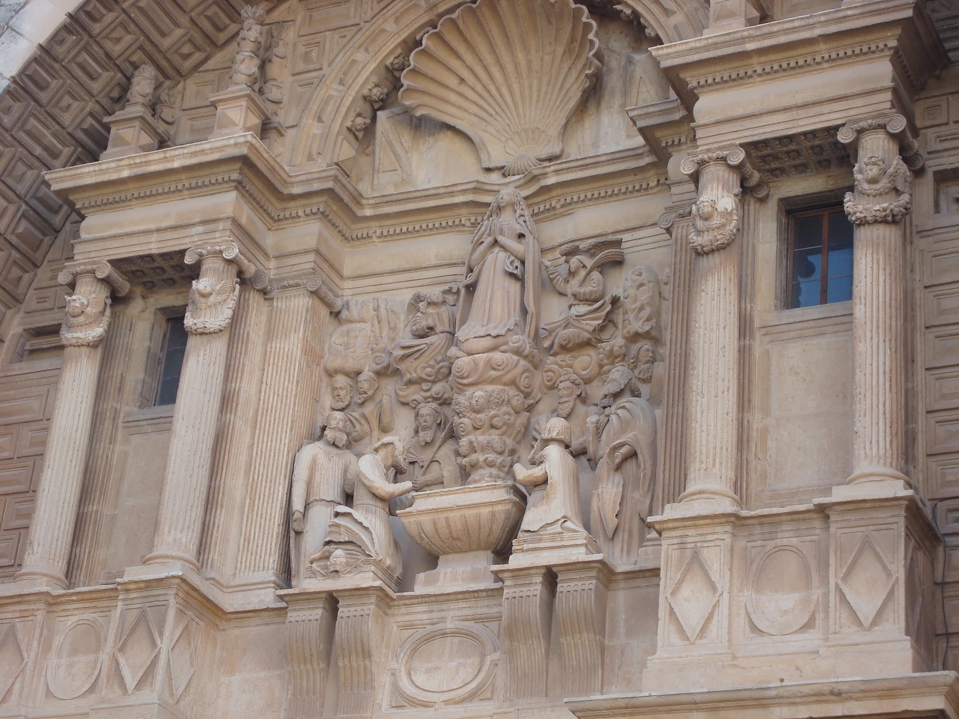
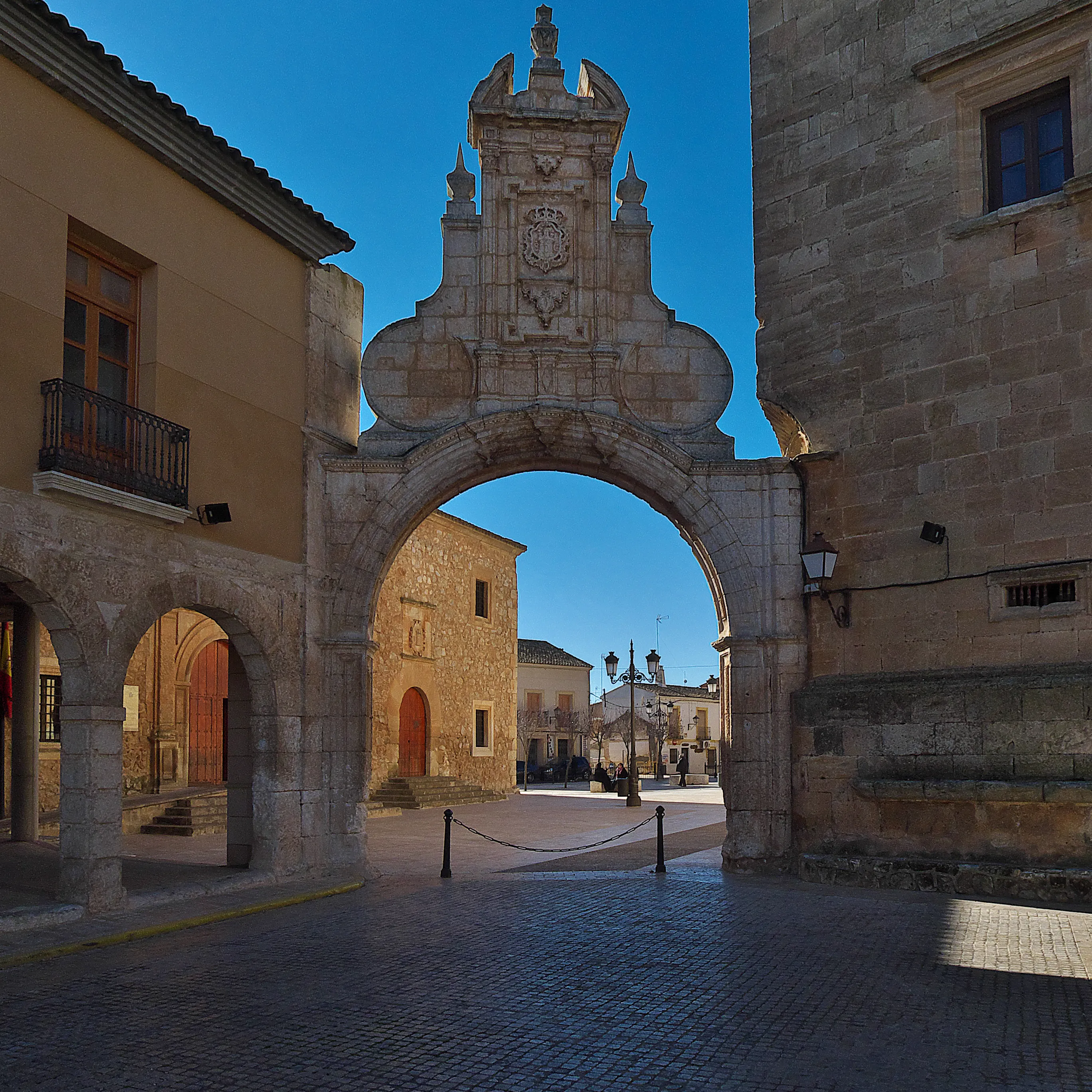
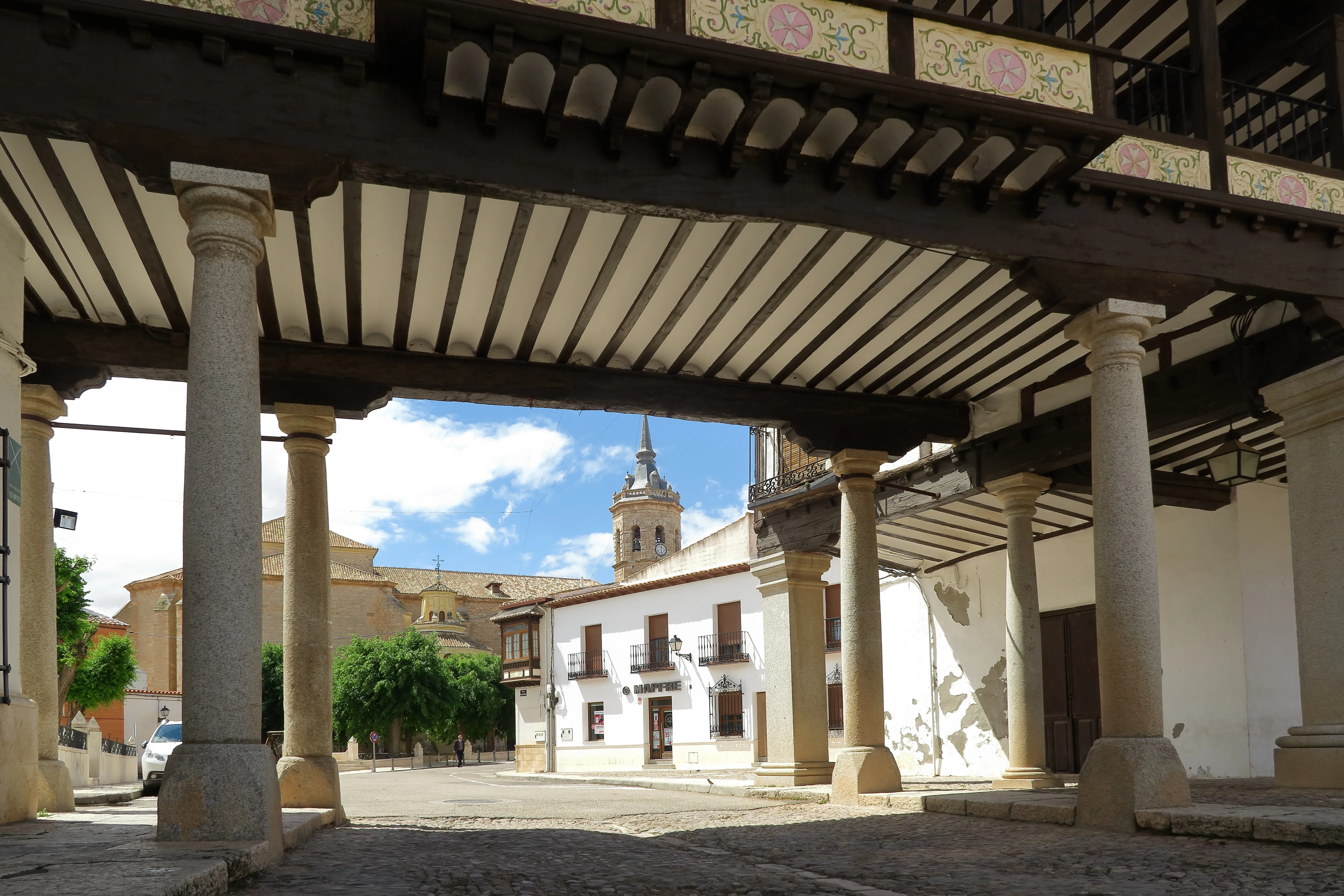
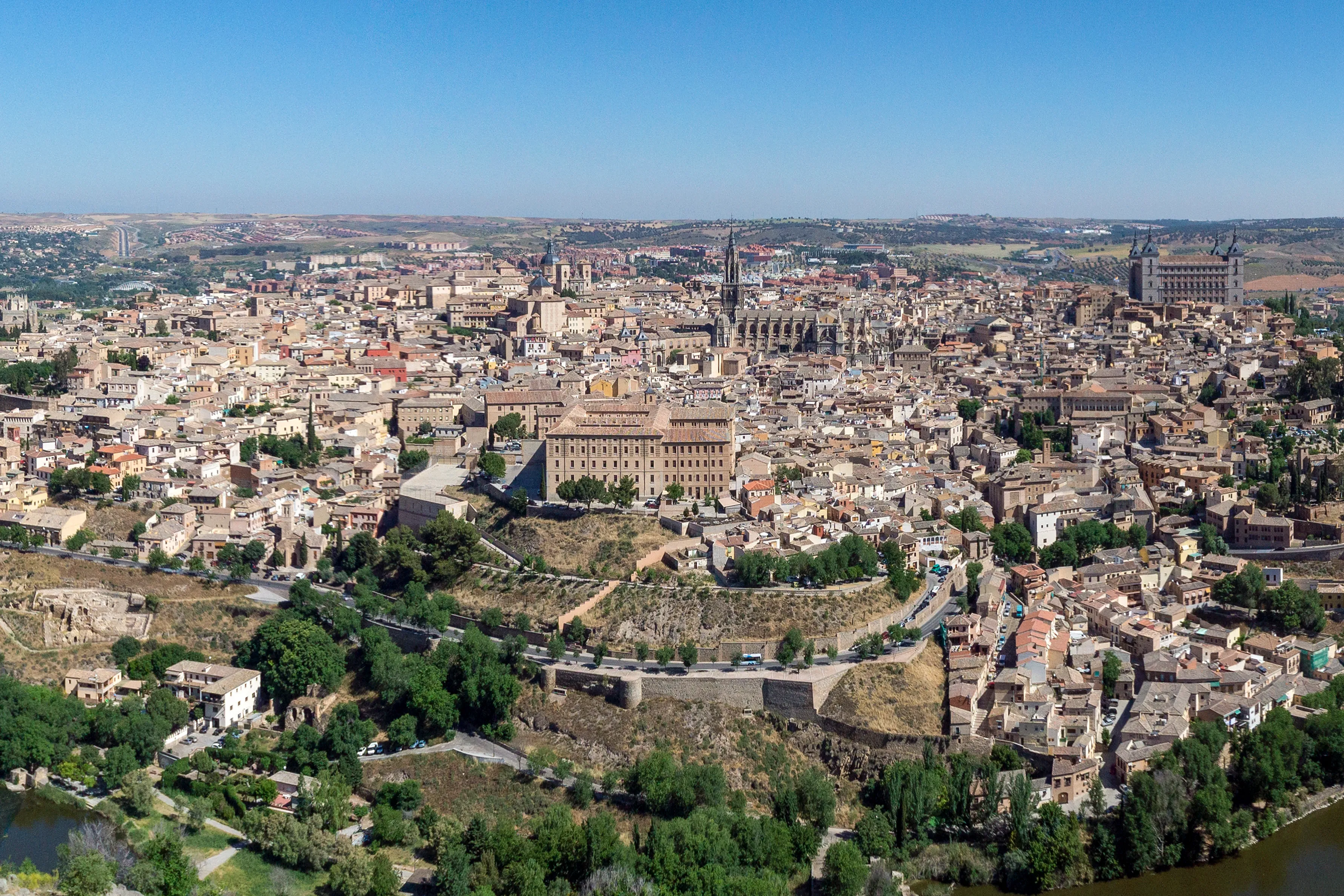
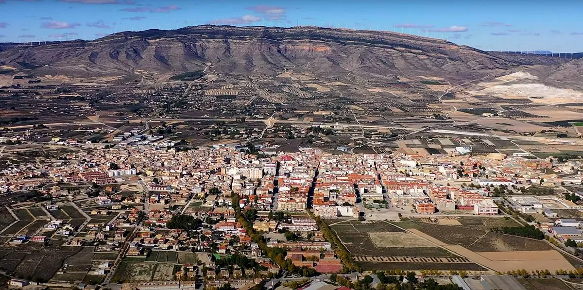
The Levante Way is one of the major Jacobean routes in the Peninsula. It connects Valencia with the Silver Road in Zamora, allowing for continuation to Astorga to join the French Way. Its route, over 800 km until Zamora, traverses the Central Plateau, passing through Castile-La Mancha and Castile and León.
It is a long and demanding route, especially in summer. It offers a deep immersion into interior Spain, with its vast landscapes and historic cities like Toledo and Ávila. Due to its length and the variability of services in some areas, it requires excellent planning.
Stages of this variant:
Stage 1: Valencia to Algemesí
Stage 2: Algesiras to Xàtiva
Stage 3: Xàtiva to Moixent
Stage 4: Moixent near The Fountain of the Fig Tree
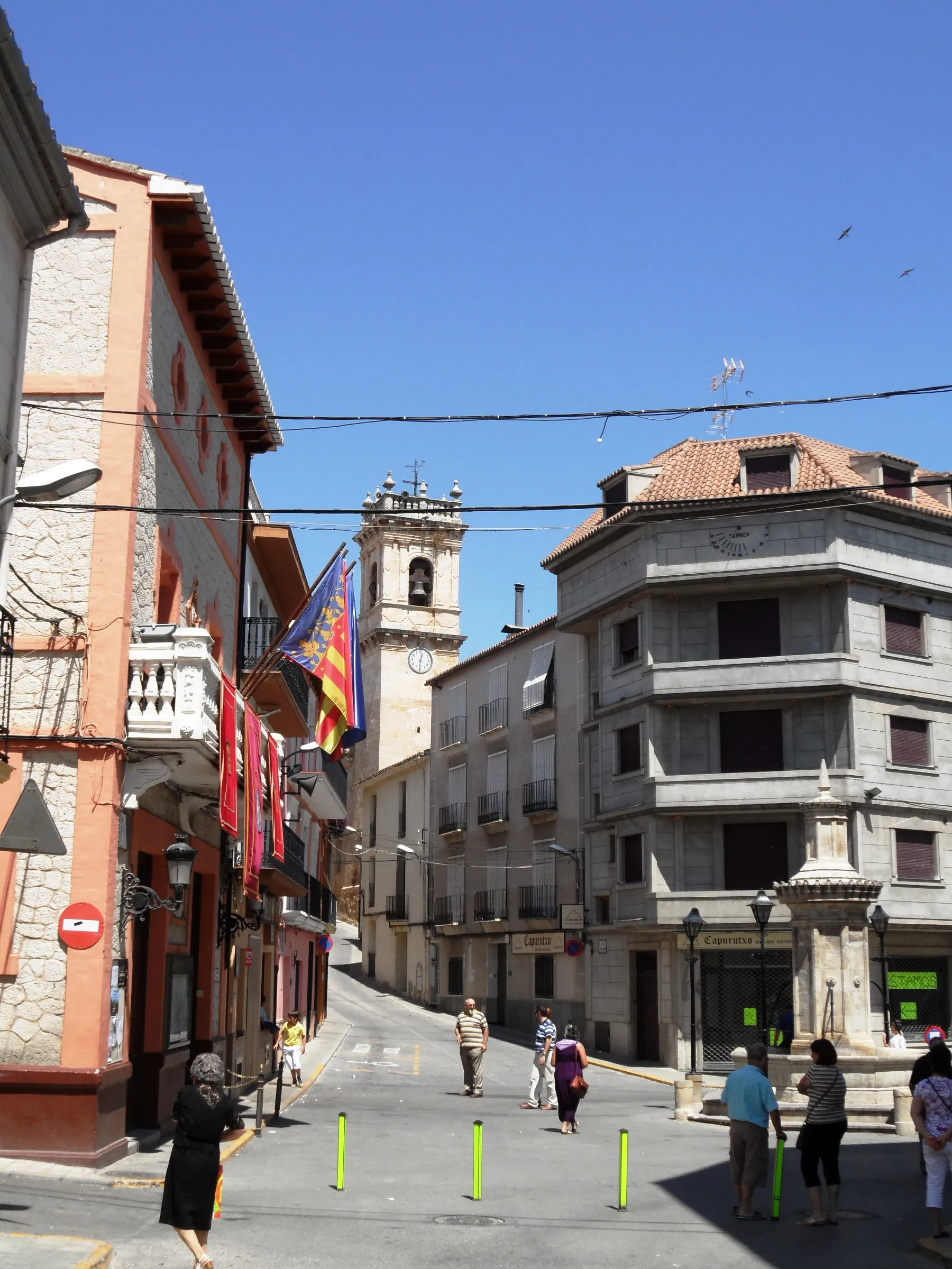
Stage 5: The Fountain of the Fig Tree to Almansa
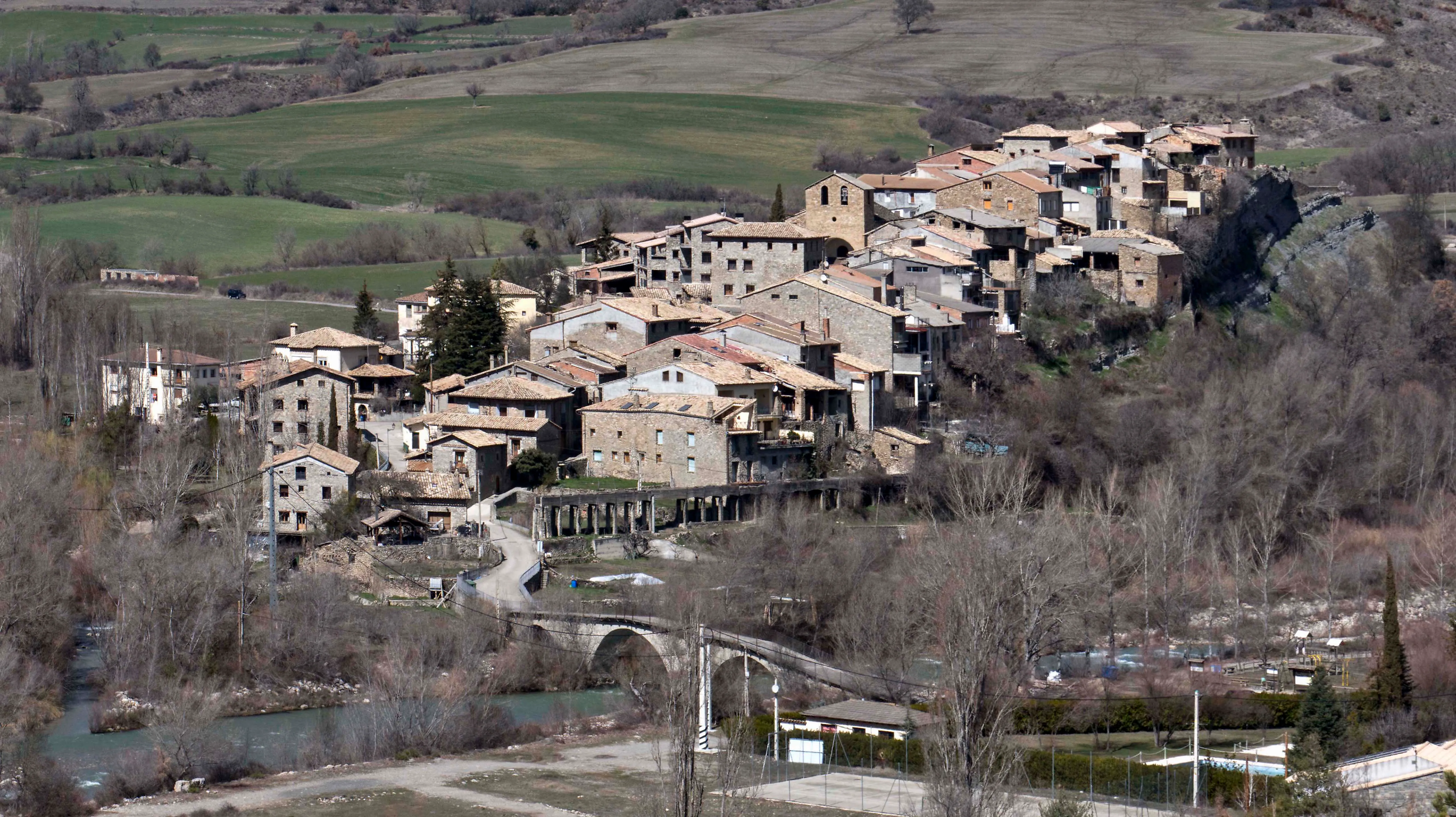


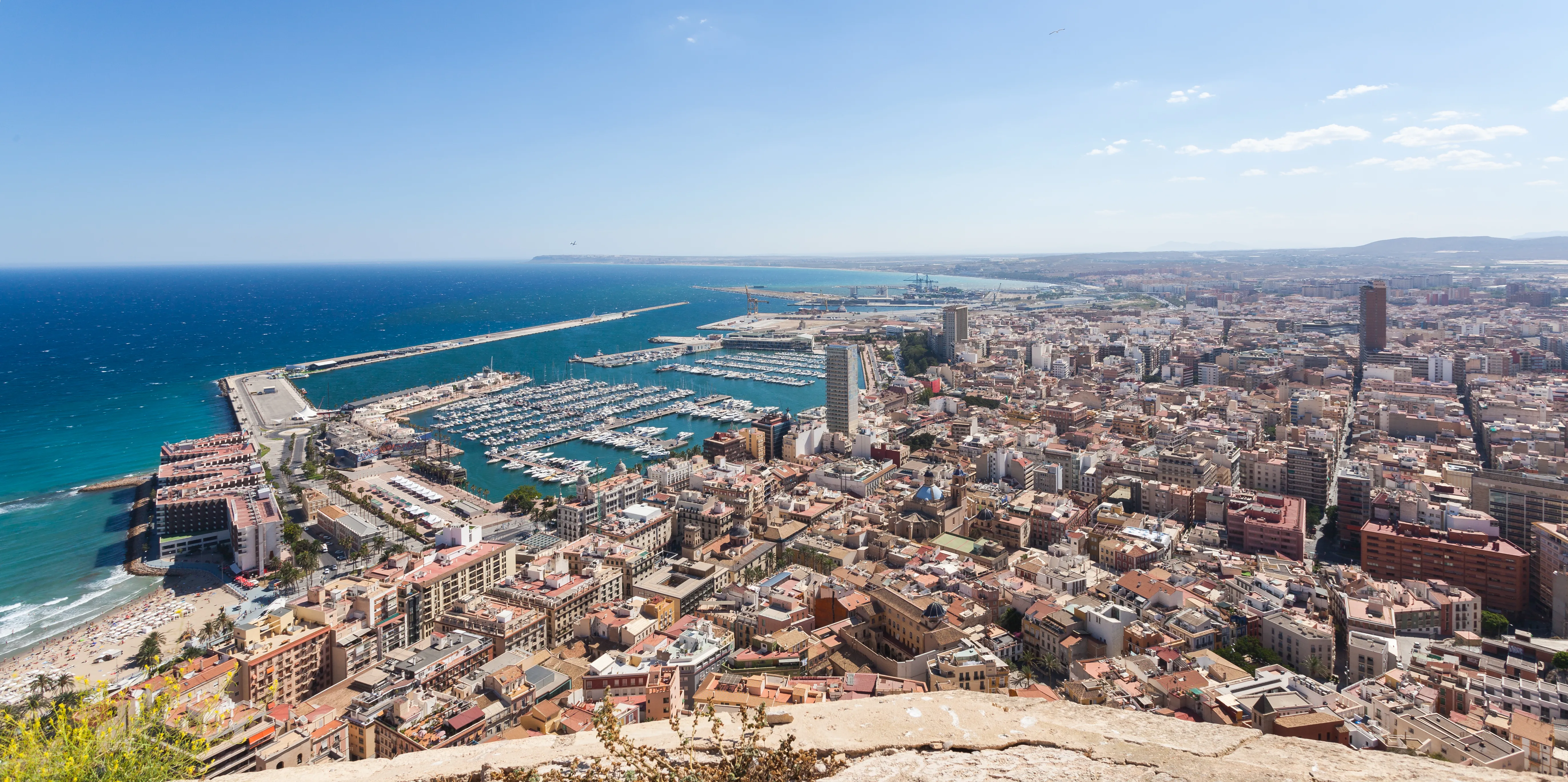
South East Route
795.5 km
29
Media
The South East Way is an important Jacobean route allowing pilgrims from the eastern Spanish coast to embark on their journey to Santiago. The most recognized starting point is Alicante, although there are branches in Cartagena or Murcia. From Alicante, the path heads inland, crossing Castilla-La Mancha and Castilla y León until it joins the Vía de la Plata in Benavente (Zamora).
It's a very long route, of almost 800 km, that requires good planning. It offers a great diversity of landscapes and a deep contact with interior Spain, ideal for pilgrims seeking solitude, history, and a challenge of long distance travel.
Stages of this variant:
Stage 1: Alicante to Orito
Stage 2: Oriente towards Pequera
Stage 3: To visit Villena
Stage 4: Villena to Caudete
Stage 5: Headquarters of Montealegre del Castillo

Route of the Plate on Bike
704.6 km
13
High
The Silver Way by bike is an epic 700 km journey following ancient Roman roads from the south. In 13 stages, the "bicigrino" crosses grasslands, monumental cities like Mérida, Cáceres and Salamanca, and vast plains of Castile until Astorga. It's a route that requires good planning, especially in hot months. The bike allows you to cover long distances between towns more easily, turning this historic road into a top-level cycle tourist challenge.
Stages of this variant:

Stage 1: Seville to Castilblanco de los Arroyos by bike
Stage 2: Castilblanco de los Arroyos to Monesterio by Bike

Stage 3: Monastery at Zafra by Bike

Stage 4: Cycling to Mérida

Stage 5: Merida to Valdesalor (Mountain Bike)


Way of Mozarab from Almería
590 km
24
High
Starting from Almería, this historic branch of the Mozarabic Way traverses contrasting landscapes, from the coast to the Extremaduran grasslands, connecting with the Via Plata in Mérida after a demanding journey. It is a path of deep Andalusian heritage.
Stages of this variant:
Stage 1: Almeria to La Rioja
Stage 2: Rioja-Alboloduy
Stage 3: Alboloduy - Abla
Stage 4: Abla - Huéneja
Stage 5: Huéneja - Alquife
Mozarabic Way from Málaga
400 km
17
High
The Mozarabic Way from Málaga allows pilgrims to start their journey from the Mediterranean coast, ascending through the Malagueña mountains and entering the interior of Andalusia. The route converges with other Mozarabic branches towards Córdoba and finally to Mérida.
Stages of this variant:
Stage 1: Malaga to Almogía
Stage 2: Almogía to Villanueva de la Concepción
Stage 3: Villanueva de la Concepción to Antequera
Stage 4: Antequera to Villanueva de Algaidas

Stage 5: Villanueva de Algaidas to Encinas Reales

Mozarab Path from Granada
385 km
16
High
The Mozarabic Way from Granada offers a journey through the heart of Andalusia. Starting from monumental Granada, pilgrims head north, finding historic cities like Cordoba before reaching Merida and the Silver Road.
Stages of this variant:
Stage 1: Granada to Pinos Puente
Stage 2: Pines of Pontevedra to Moclín
Stage 3: Move to Alcalá la Real
Stage 4: Alcala la Real to Alcaudete
Stage 5: Alcaudete to Baena
Way of Sanabria
368 km
13
Media
The Way of Saint Abades, also known as the Mozarabic Way of Sanabres, is one of the extensions of the Via Plata. It begins officially in Granja de Moreruela (Zamora), where pilgrims coming from the south can take this direct variant to Galicia. With a distance of 368 km, it passes through Zamora, the Culebra Mountains and the Sanabria region, entering Galicia by the province of Ourense.
It offers a more solitary and nature-connected pilgrimage experience, passing by the impressive Lake of Sanabria and the thermal lands of Ourense. It is a route of great scenic beauty and ethnographic richness, ideal for those who want to escape the crowds and enjoy an authentic and challenging Camino in certain sections.
Stages of this variant:

Stage 1: Farm of Moreruela to Tabarca
Stage 2: Barbera to San Cristóbal de la Laguna
Stage 3: San Cristóbal de la Peña a Rionegro del Puente
Stage 4: Rionegro del Puente to Puebla de Sanabria

Stage 5: Puebla de Sanabria to Lubian


Way of Mozarabia from Jaen to Merida
330 km
14
Media
Starting from Jaén, capital of the Holy Kingdom, this branch of the Mozarabic Way enters the Andalusian olive tree sea to later join other pilgrims in Córdoba and continue on the Via Plata in Mérida. A path of history and tradition.
Stages of this variant:

Stage 1: Jaen to Torredelcampo
Stage 2: Torredelcampo to Martos
Stage 3: Martos to Alcaudete
Stage 4: Alcaudete to Baena
The Mozarabic Way from Córdoba to Mérida
246.3 km
10
Media
This section of the Mozarabic Way, starting from historic Córdoba, is one of the most significant. It leads pilgrims through the Extremaduran grasslands to Mérida, an important Roman city and key point on the Via Plata. It's a beautiful natural path with deep historical significance.
Stages of this variant:
Stage 2: Cerro Muriano to Villaharta

Stage 3: Villaharta to Alcaracejos
Stage 4: Alcaraz to Hinojosa del Duque
Stage 5: Hinojosa del Duque to Monterrubio de la Serena
Stage 6: Monterrubio de la Serena to Castuera
Via Augusta from Cadiz
170 km
6
Lowlands
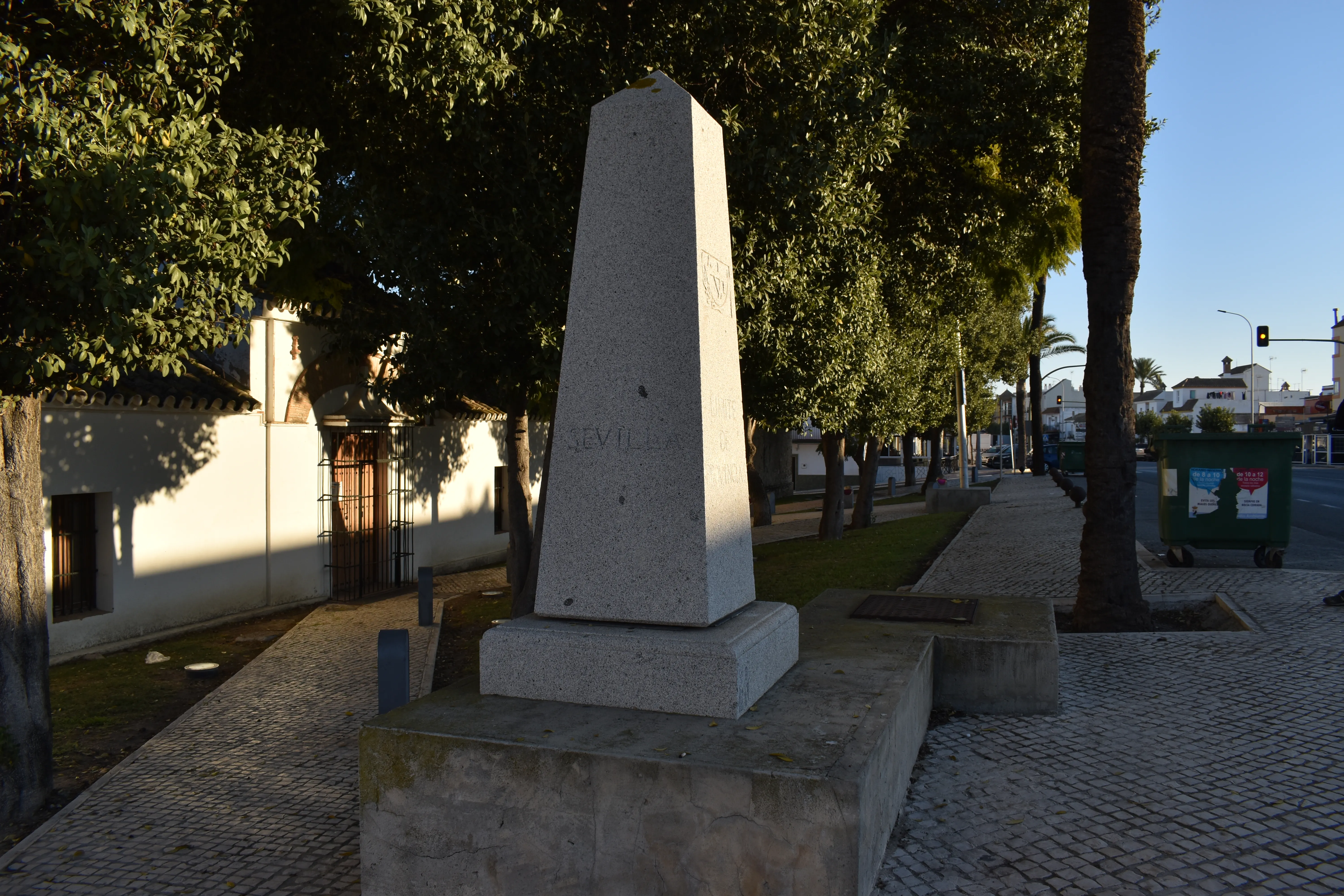
The Via Augusta from Cádiz is a 170 km Jacobean itinerary that follows the route of the ancient Roman road of the same name, connecting Cádiz with Seville. This section allows pilgrims from Cadiz to link up in Seville with the Silver Way, one of the major routes to Santiago.
Stages of this variant:
Stage 1: Cadiz - Puerto Real
Stage 2: Port Royal - Cadiz
Stage 3: Jerez de la Frontera - El Cuervo de Sevilla
Stage 4: El Cuervo de Sevilla - Las Cabezas de San Juan
Stage 5: The Cabezas of San Juan - Utrera
South Camino of Huelva
164 km
7
Lowlands
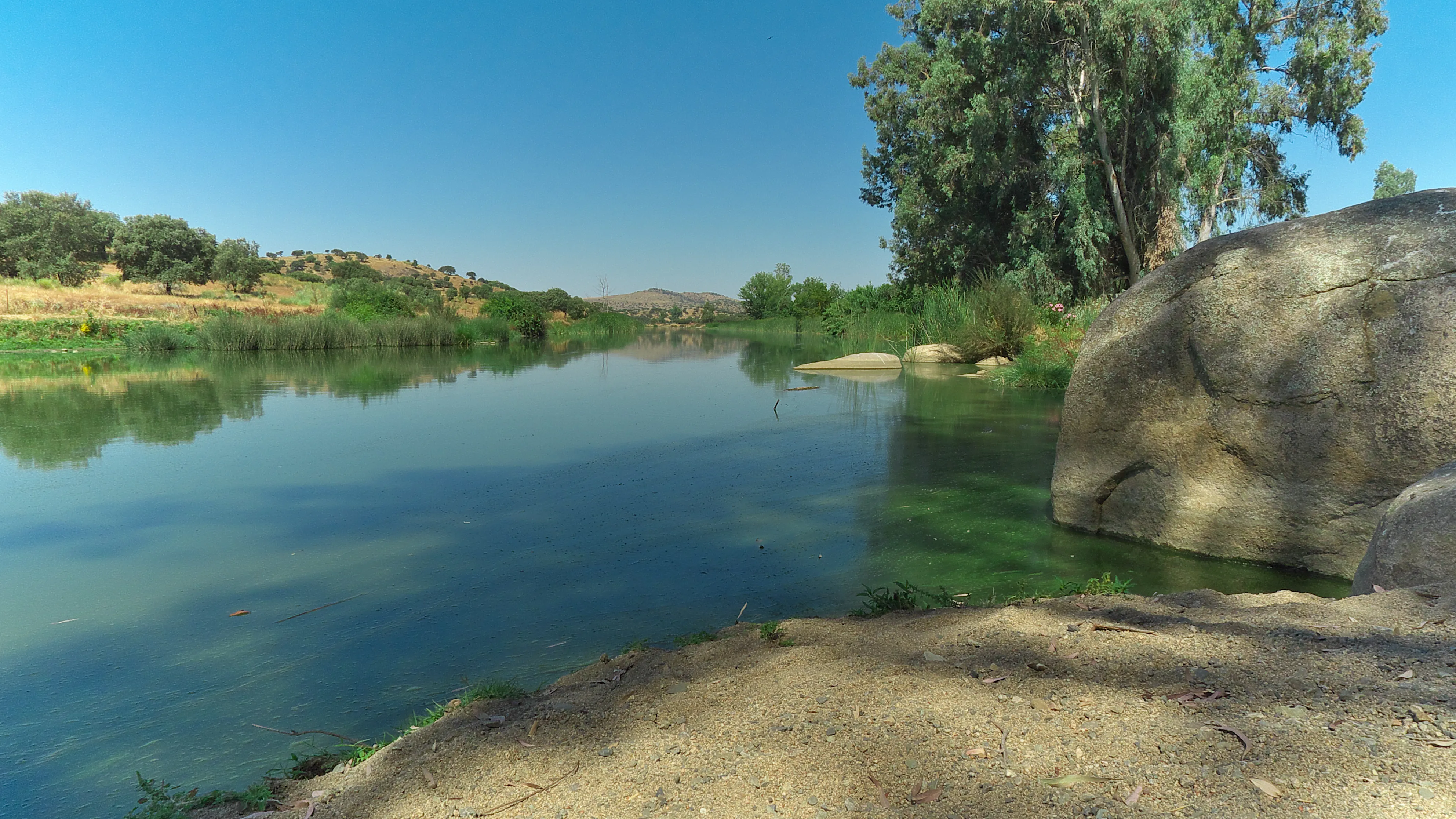
The South Camino of Huelva is a 164 km Jacobean route that starts in the city of Huelva and heads north to connect with the Via de la Plata in Zafra (Badajoz). This route offers varied experiences, passing through landscapes such as the Odiel marshes, the Andévalo mining region, and the dehesas of Sierra Morena before entering Extremadura. It allows western Andalusian coastal pilgrims to connect with one of the major routes to Santiago, recovering ancient communication routes.
Stages of this variant:
Stage 1: Huelva to Trigueros
Stage 2: Trigueros to Valverde del Camino
Stage 3: Valverde del Camino to Mines of Rio Tinto
Stage 4: Rio Tinto Mines to Aracena
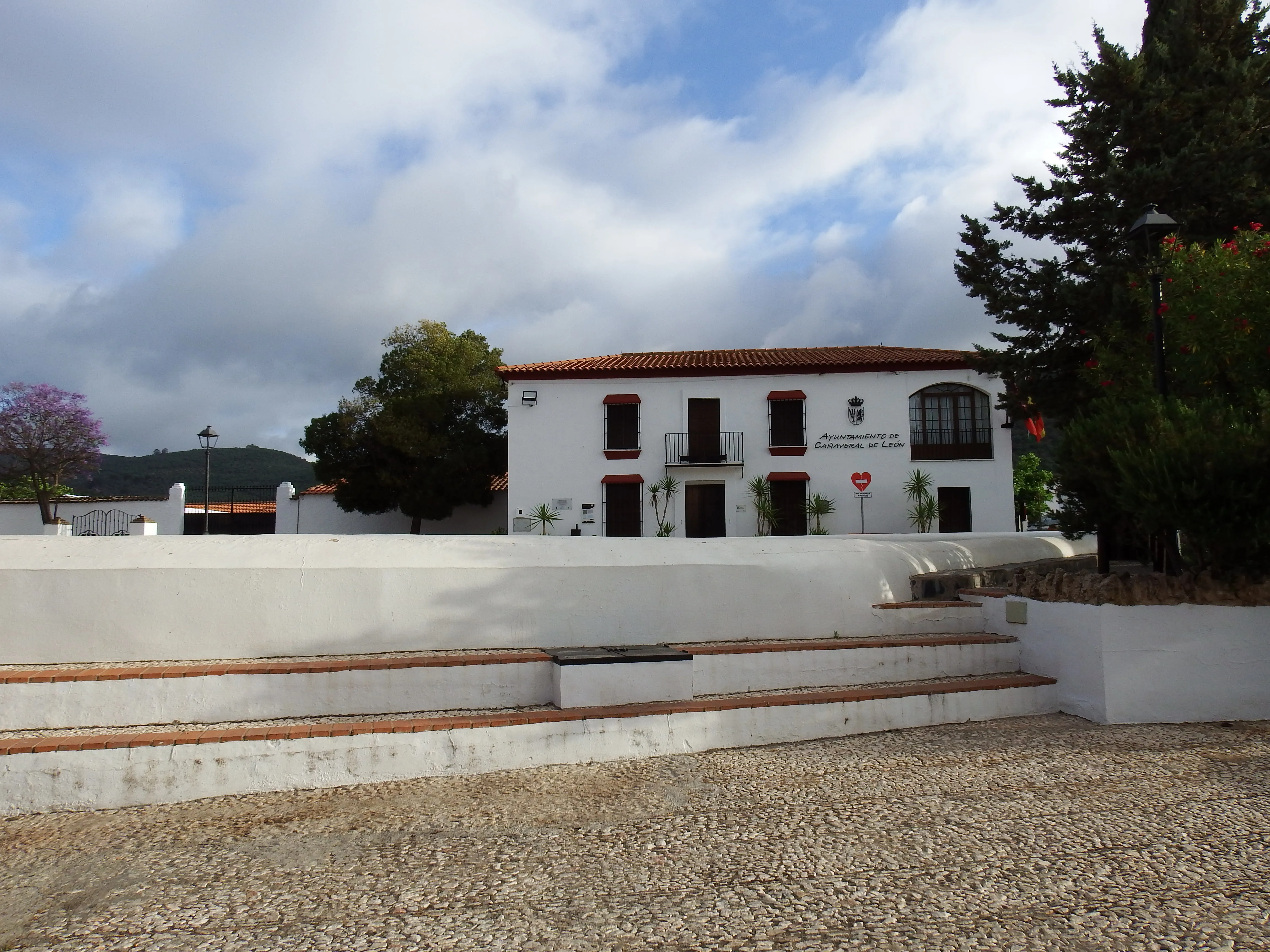
Stage 5: Aracena to Cañaveral de León
Elevation Profile of
Elevation Profile of Way of the Plate
Visualize the ups and downs of the route.
Loading elevation profile...
Error loading elevation profile or altitude data not available.
Your trip with Ourway
Everything you need for your Camino
No hassle. Your perfect route, from start to finish.
Accommodation
Selected hotels and hostels at every stage
Luggage transfer
Your backpack travels from stage to stage
Camino Guide
Detailed map with directions and services
24h Support
Team available for any unforeseen event
Pilgrim credential
Official documentation included
No commitment
Free personalized consultation
Stages
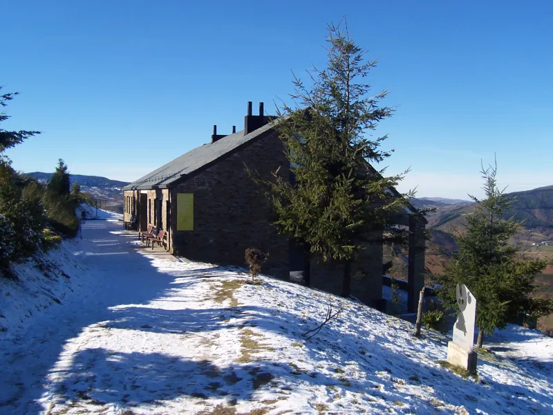
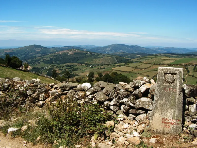
Stages of Way of the Plate
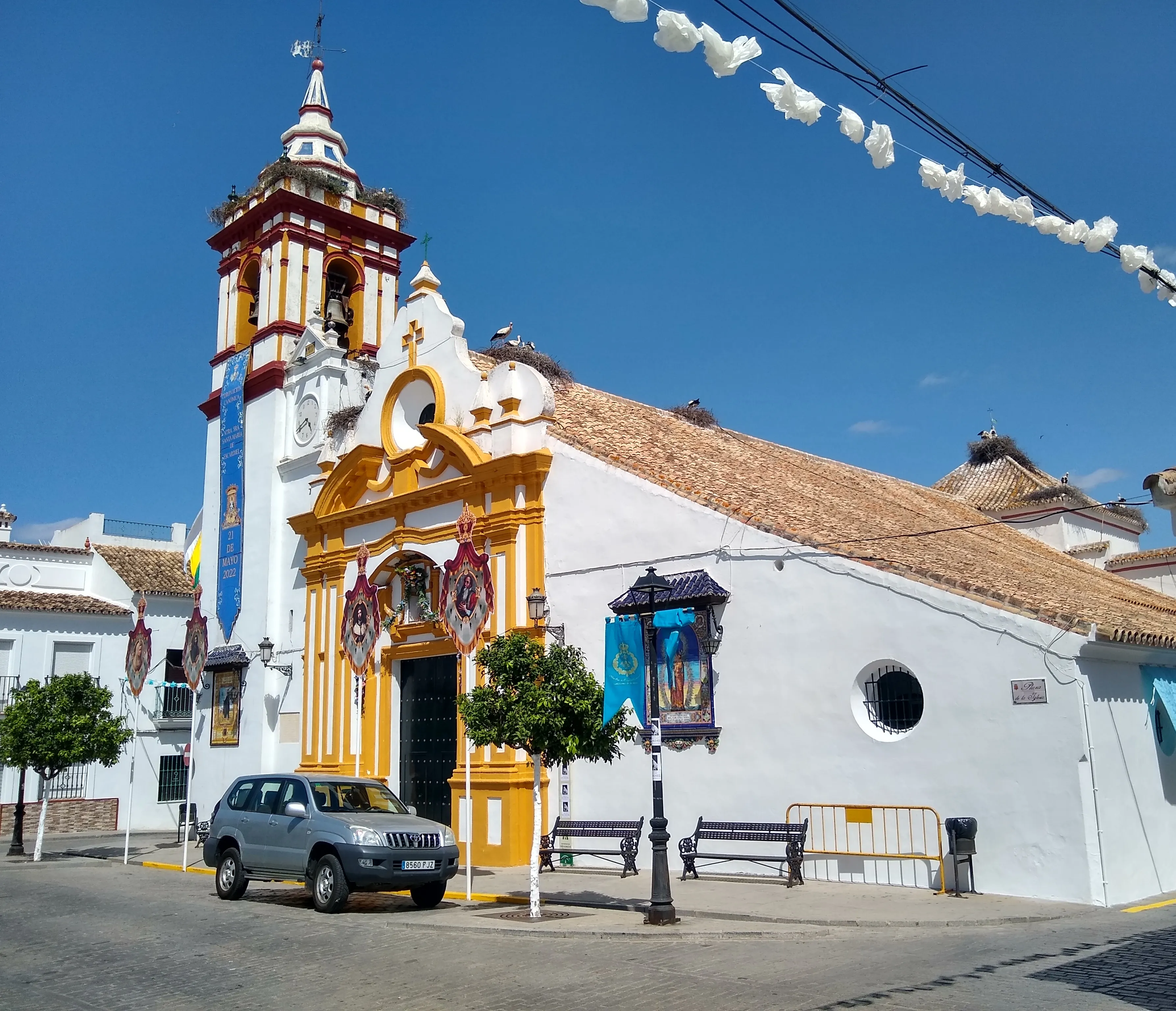
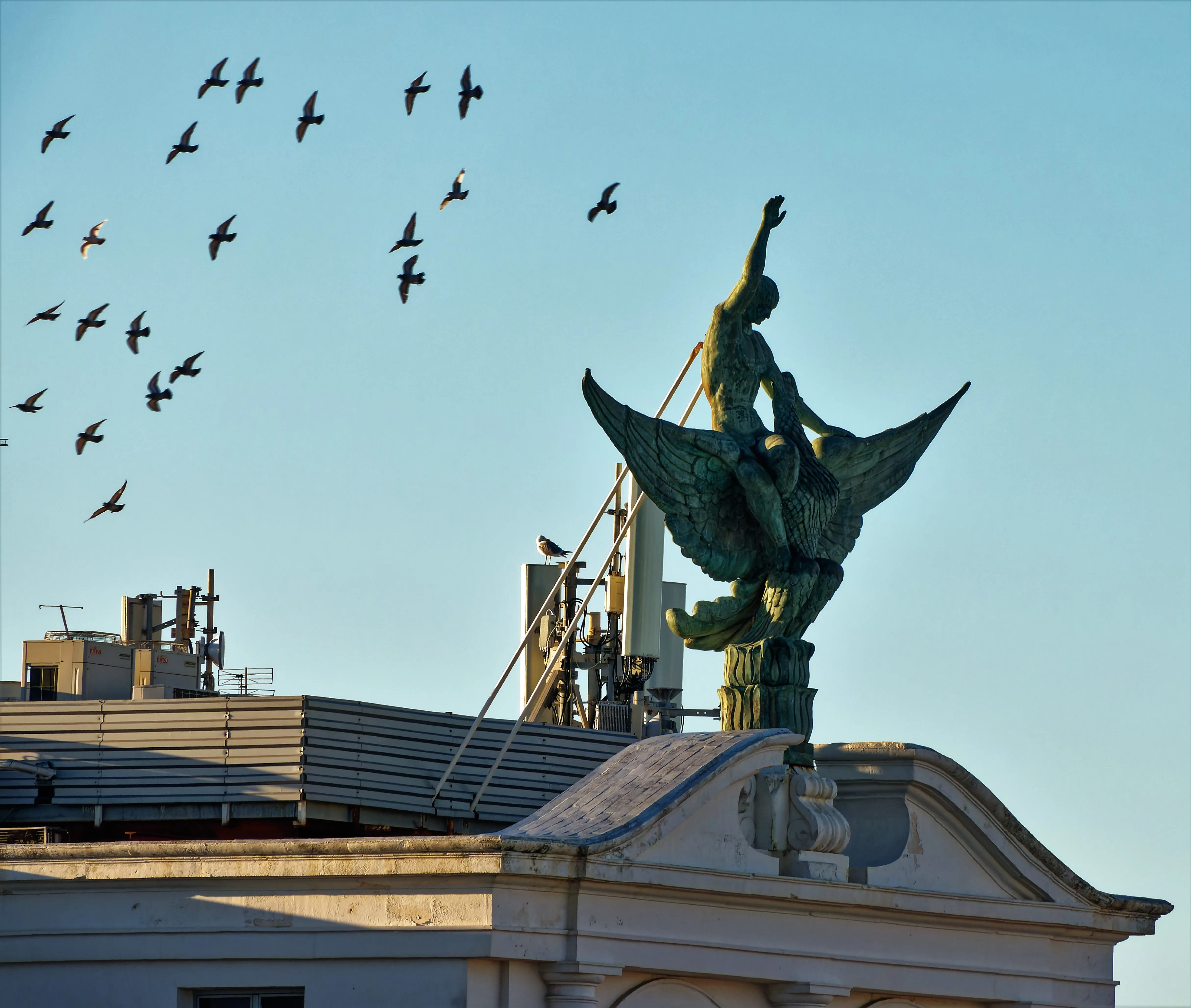
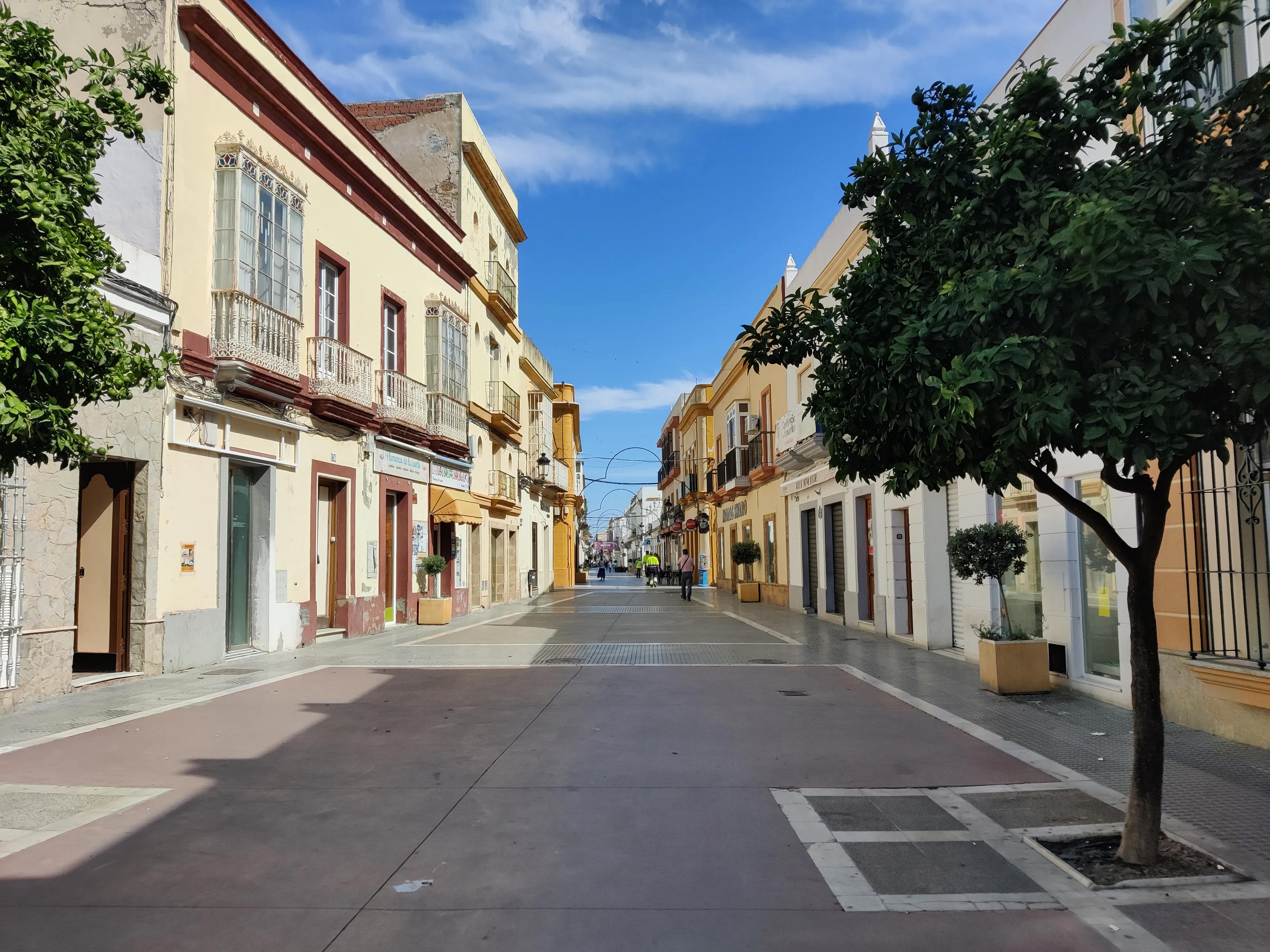
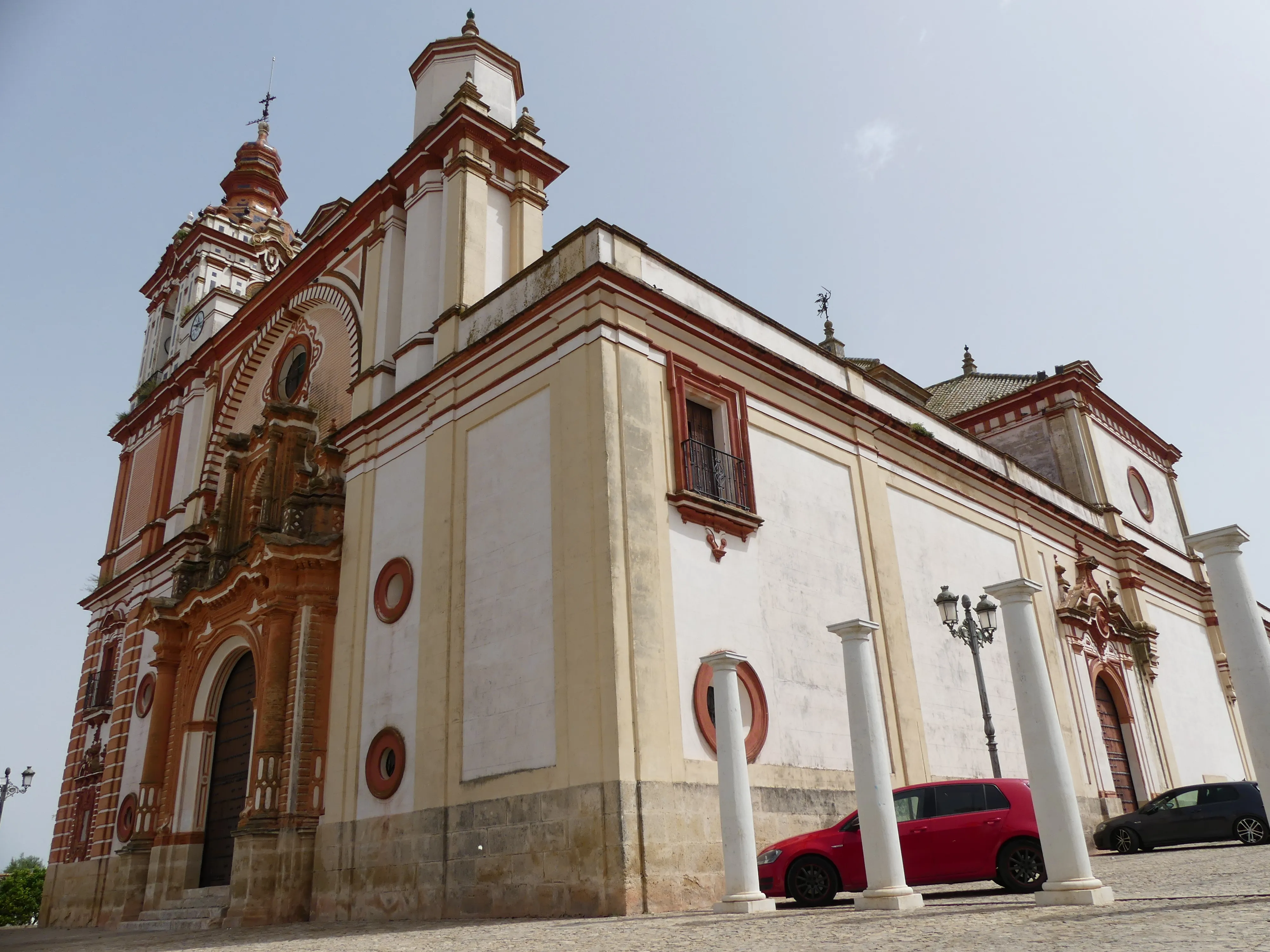
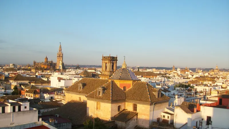
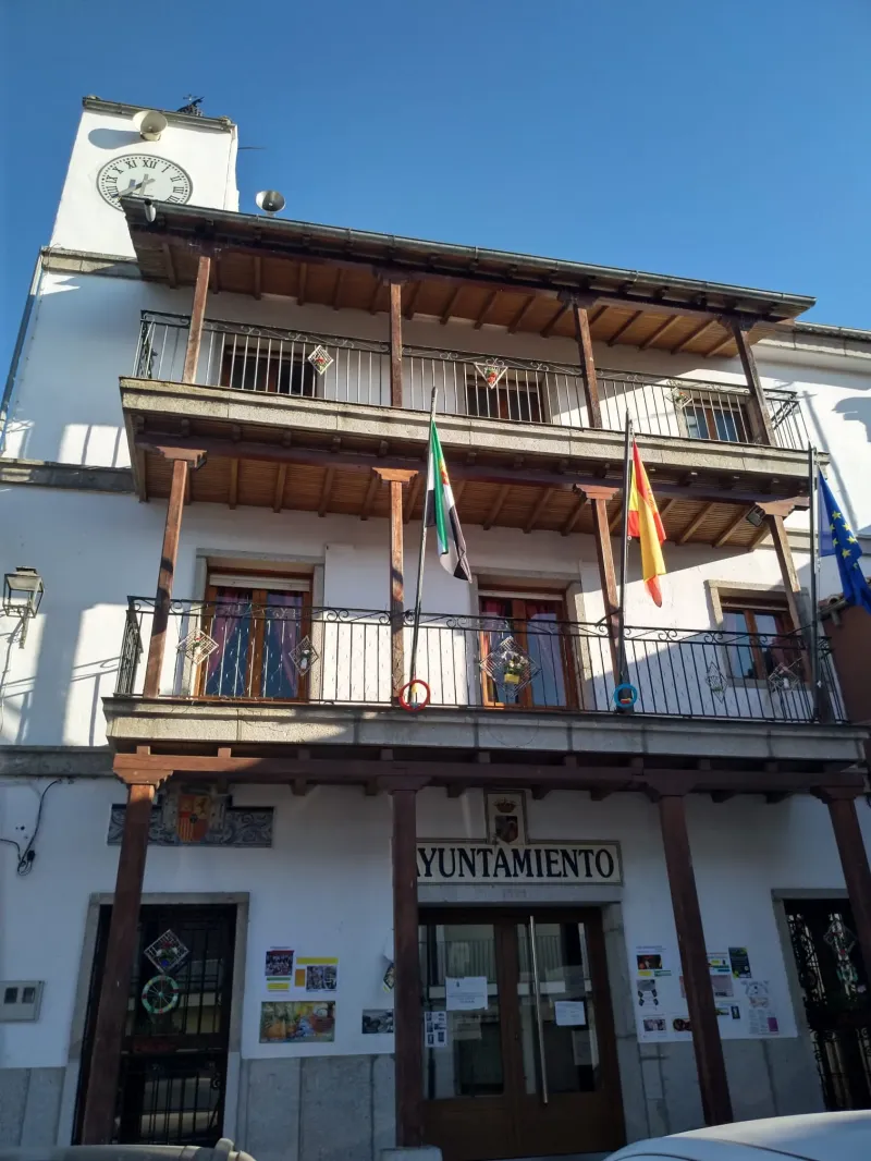
Sevilla → Guillena
The Silver Way begins in the heart of Seville, alongside the majestic Cathedral. This first 21.9 km stage is a long urban and peri-urban journey that allows pilgrims to bid farewell to Andalusian capi...
Guillena → Castilblanco de los Arroyos
This stage involves a radical change in landscape. Abandon the plain to venture into the first foothills of Sierra Morena. The profile is a continuous up and down, a "rocky terrain" that runs along di...
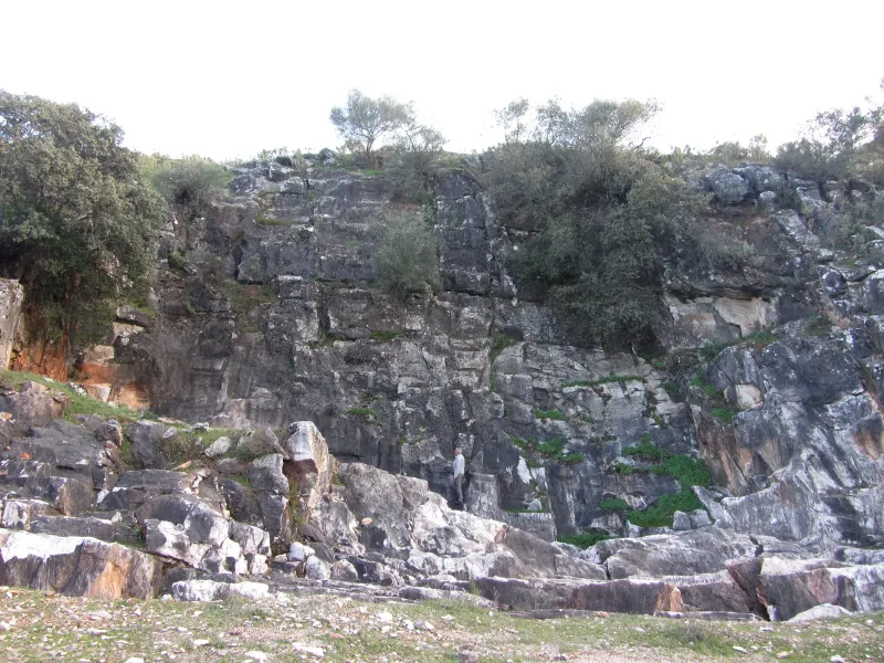
Castilblanco de los Arroyos → Almadén de la Plata
This stage ventures into the heart of the Sierra Norte Natural Park of Seville. It is an demanding day, with a "strenuous" profile, that runs through solitary and beautiful terrain. The path advances ...
Almadén de la Plata → Monesterio
This is one of the longest and toughest stages of The Way of Salt, marking the farewell to Andalusia and entry into Extremadura. The journey is a constant challenge over a mountainous and solitary ter...
Monesterio → Fuente de Cantos
After the ruggedness of the Sierra, this stage offers a much more gentle profile. It's a transition day that enters into southern Extremadura's countryside, on a terrain of soft undulations and pastur...
Fuente de Cantos → Zafra
This stage continues through the Extremaduran countryside, on a gentle terrain with little difficulty. It is an enjoyable day that crosses a landscape of vineyards and olive groves, characteristic of ...
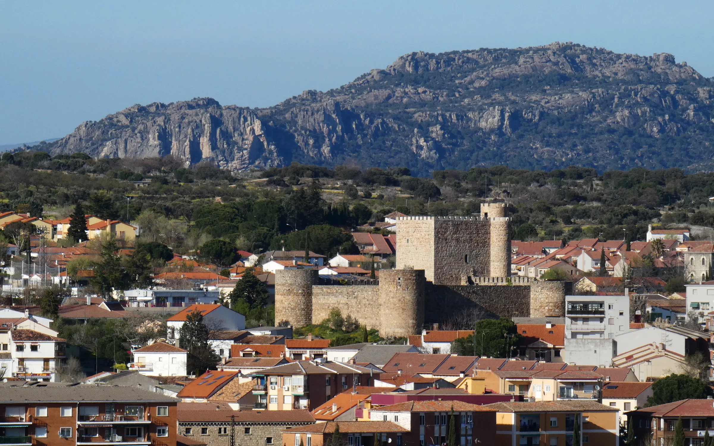
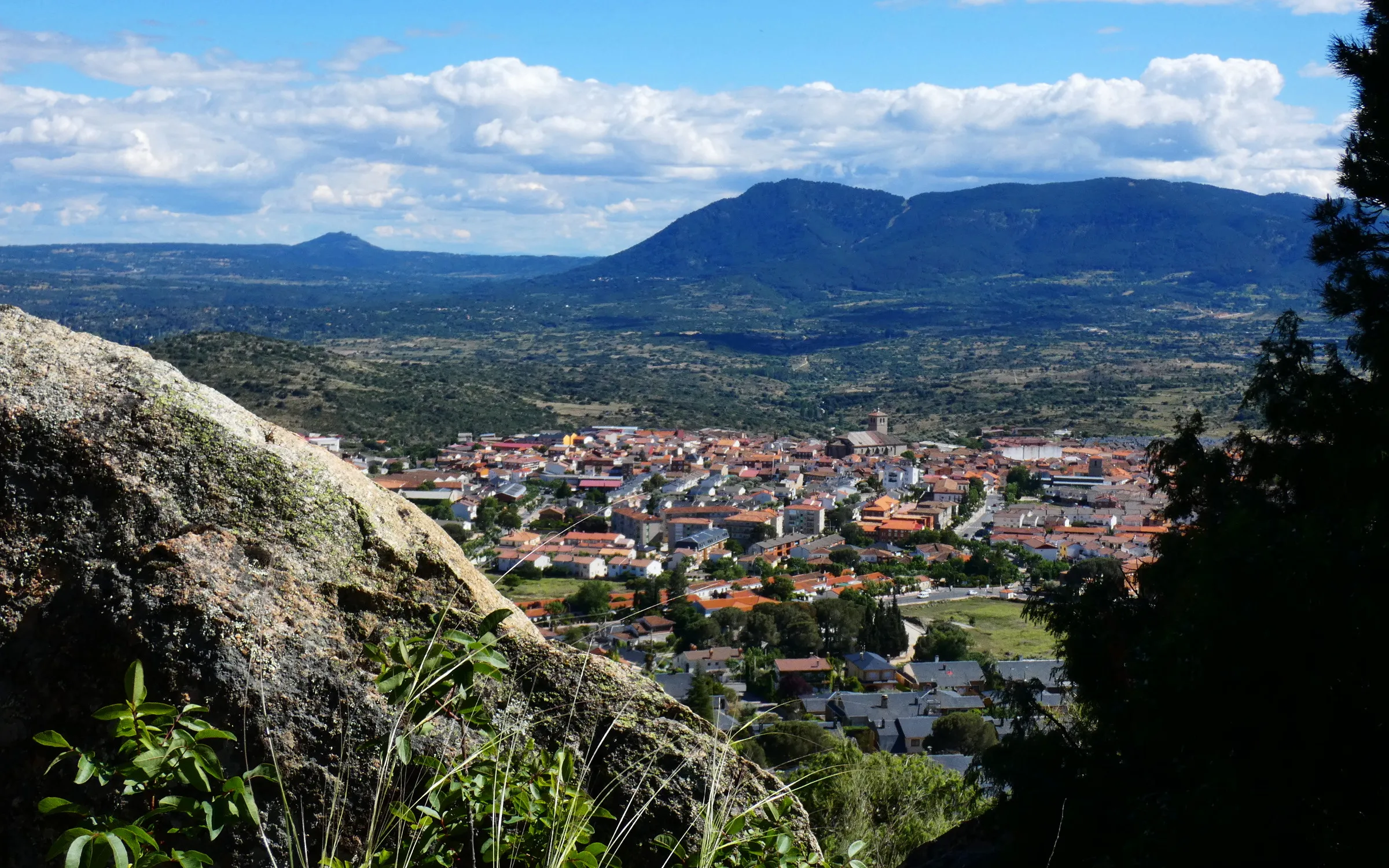
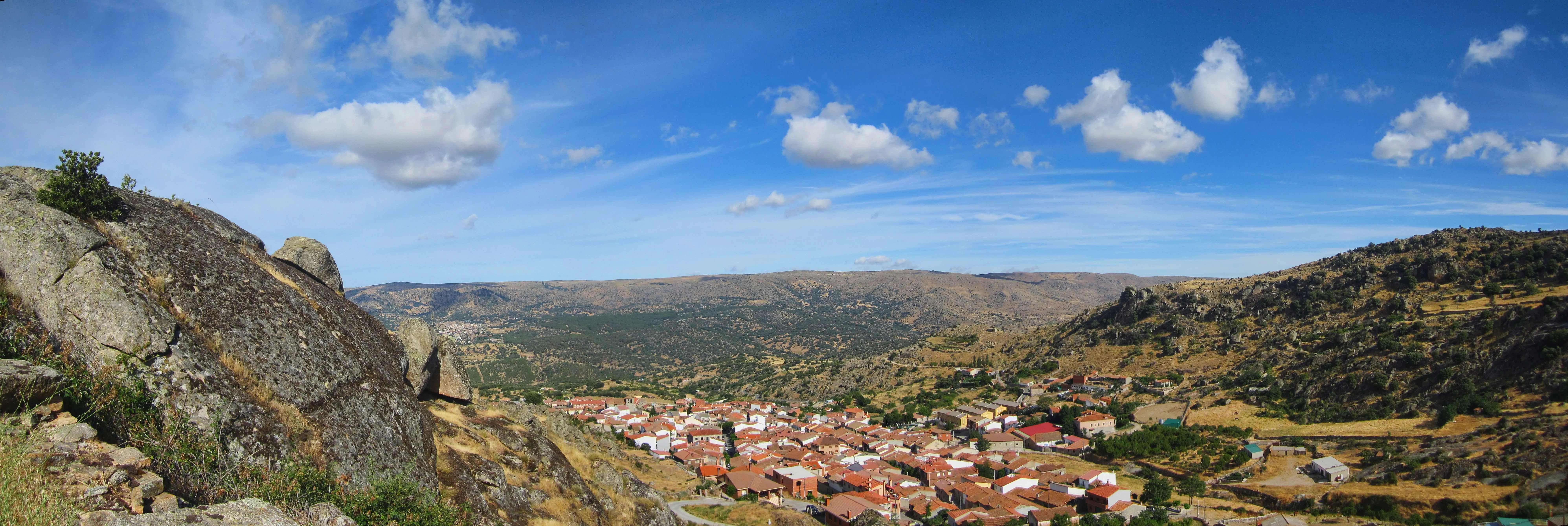
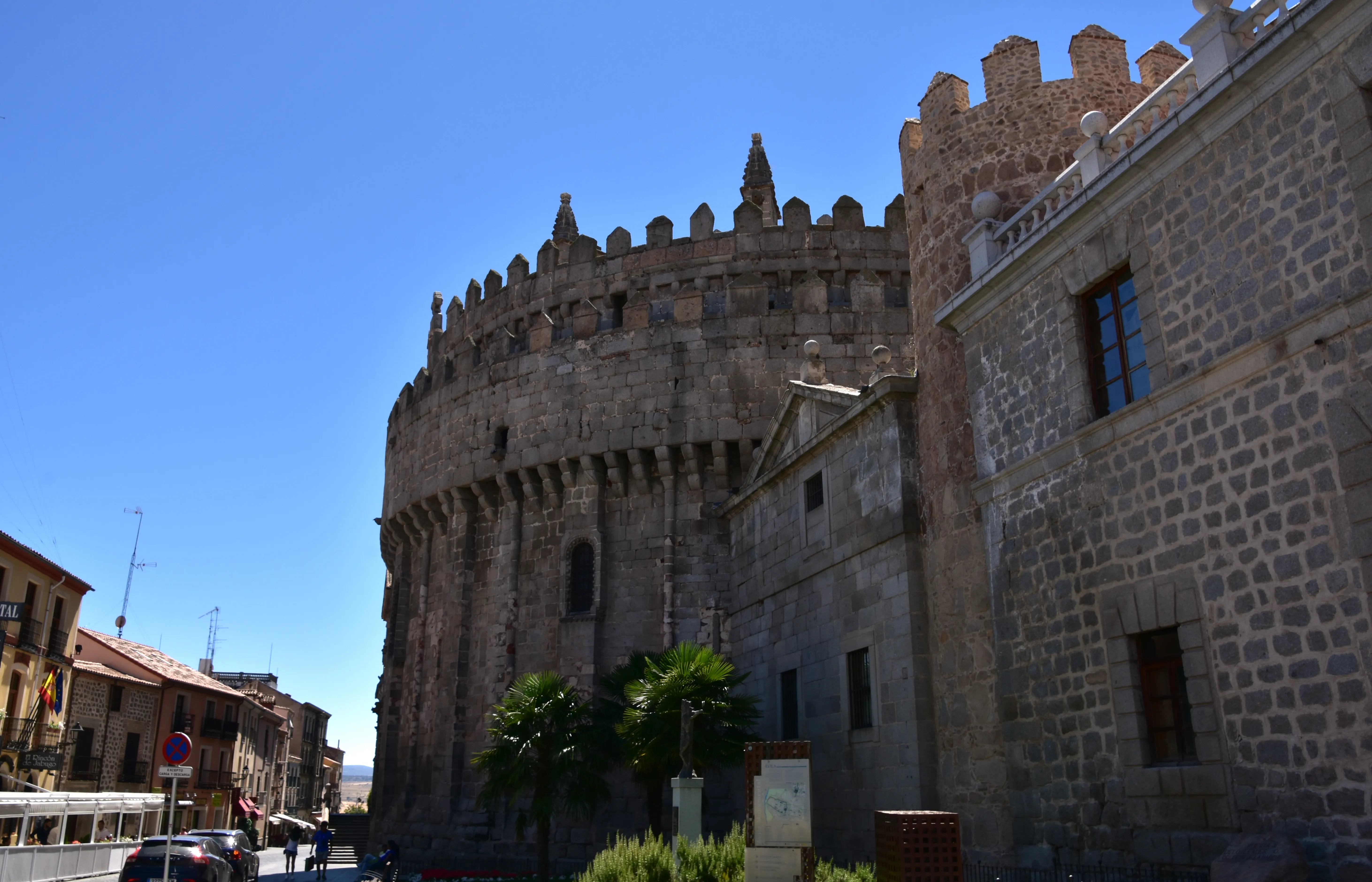
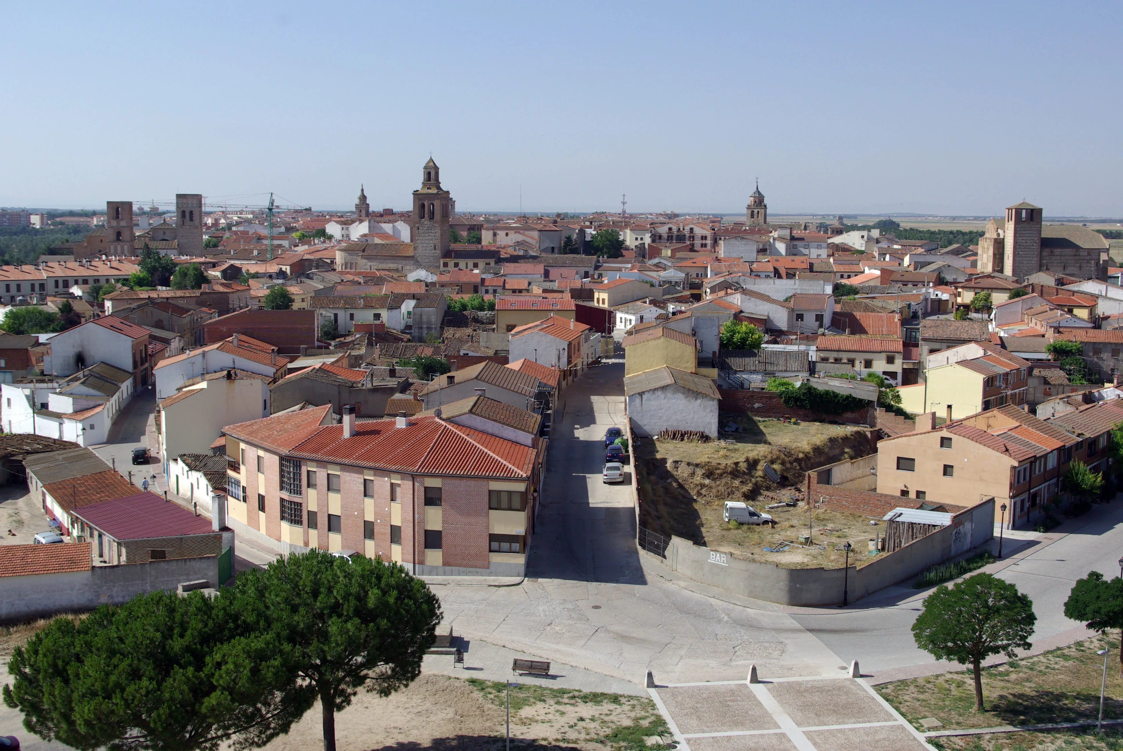
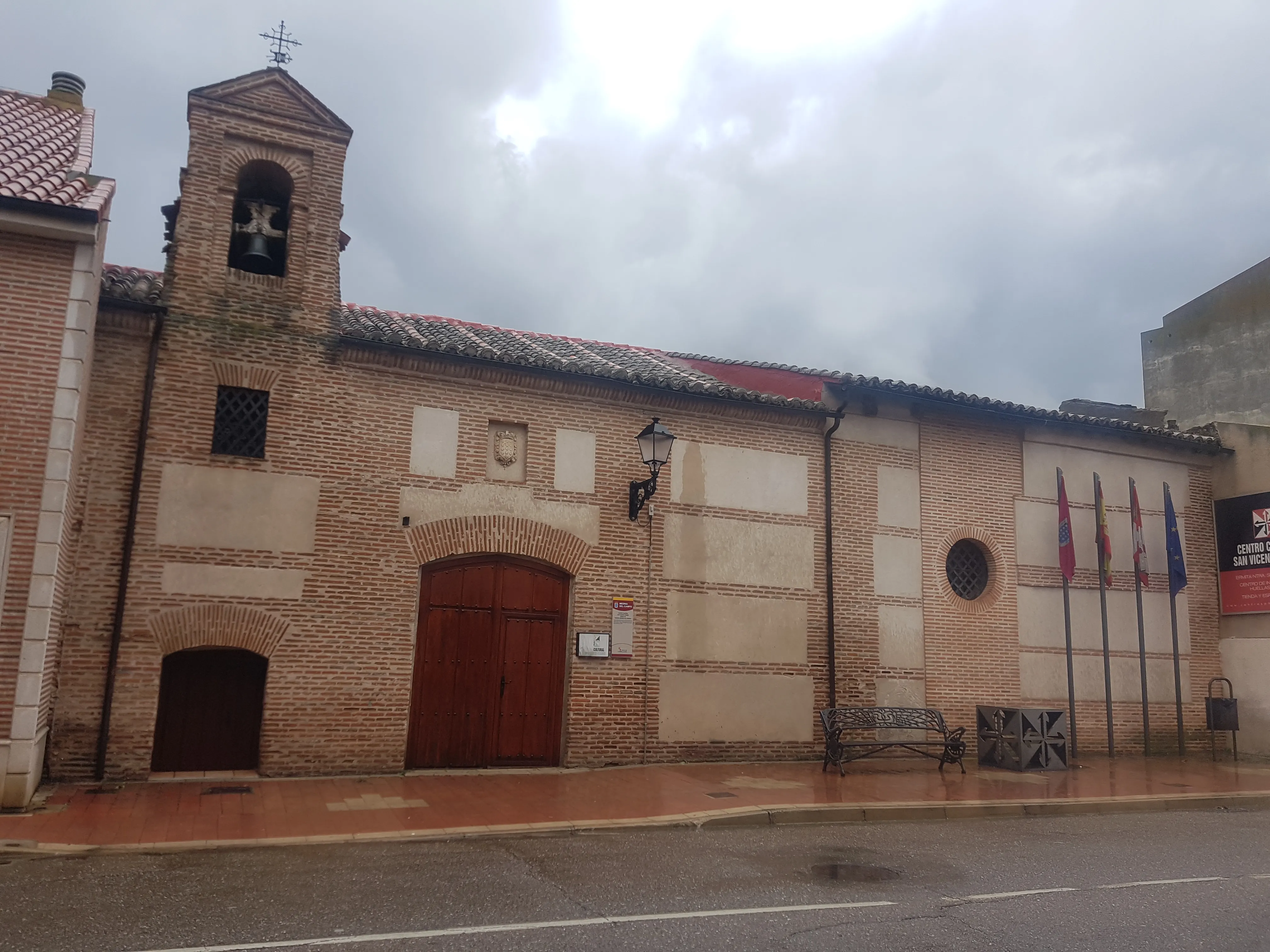
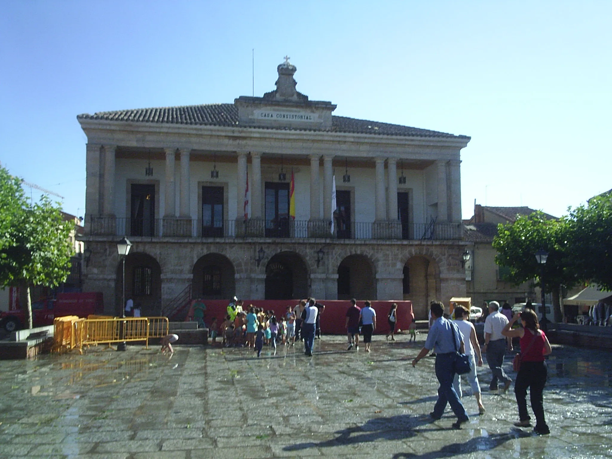
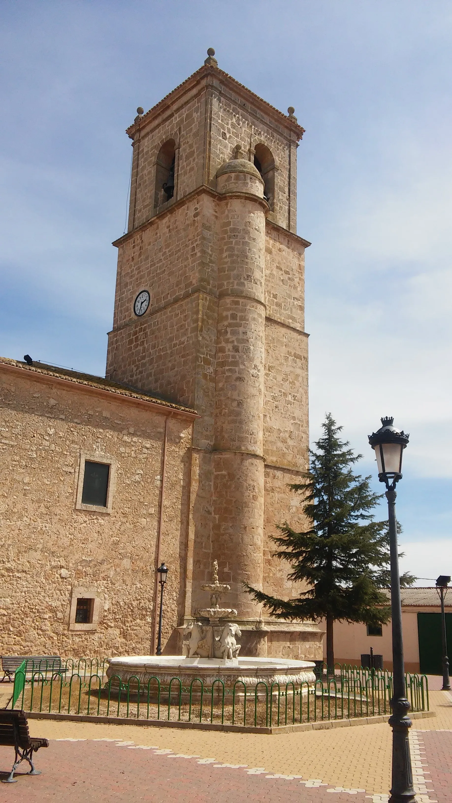
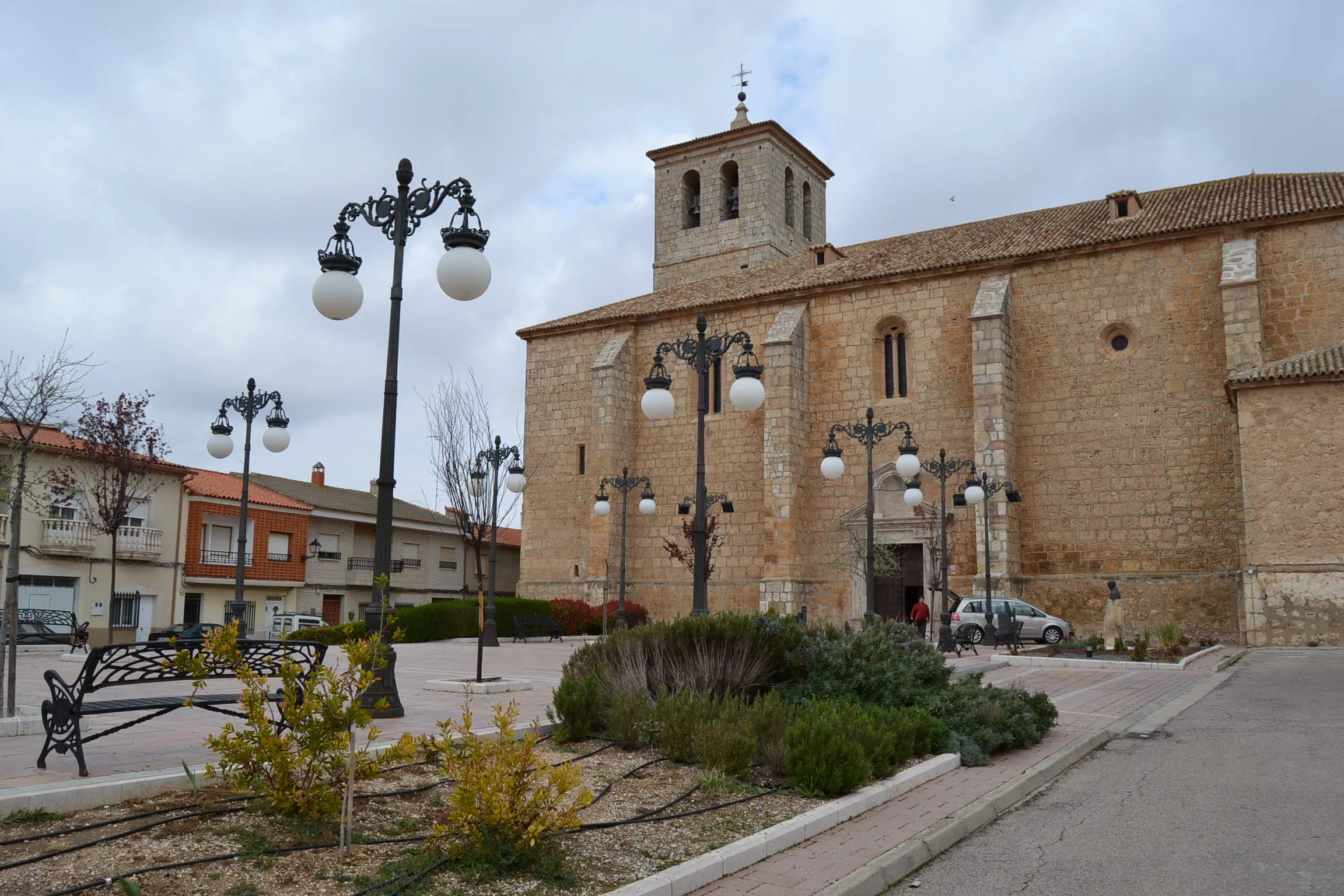
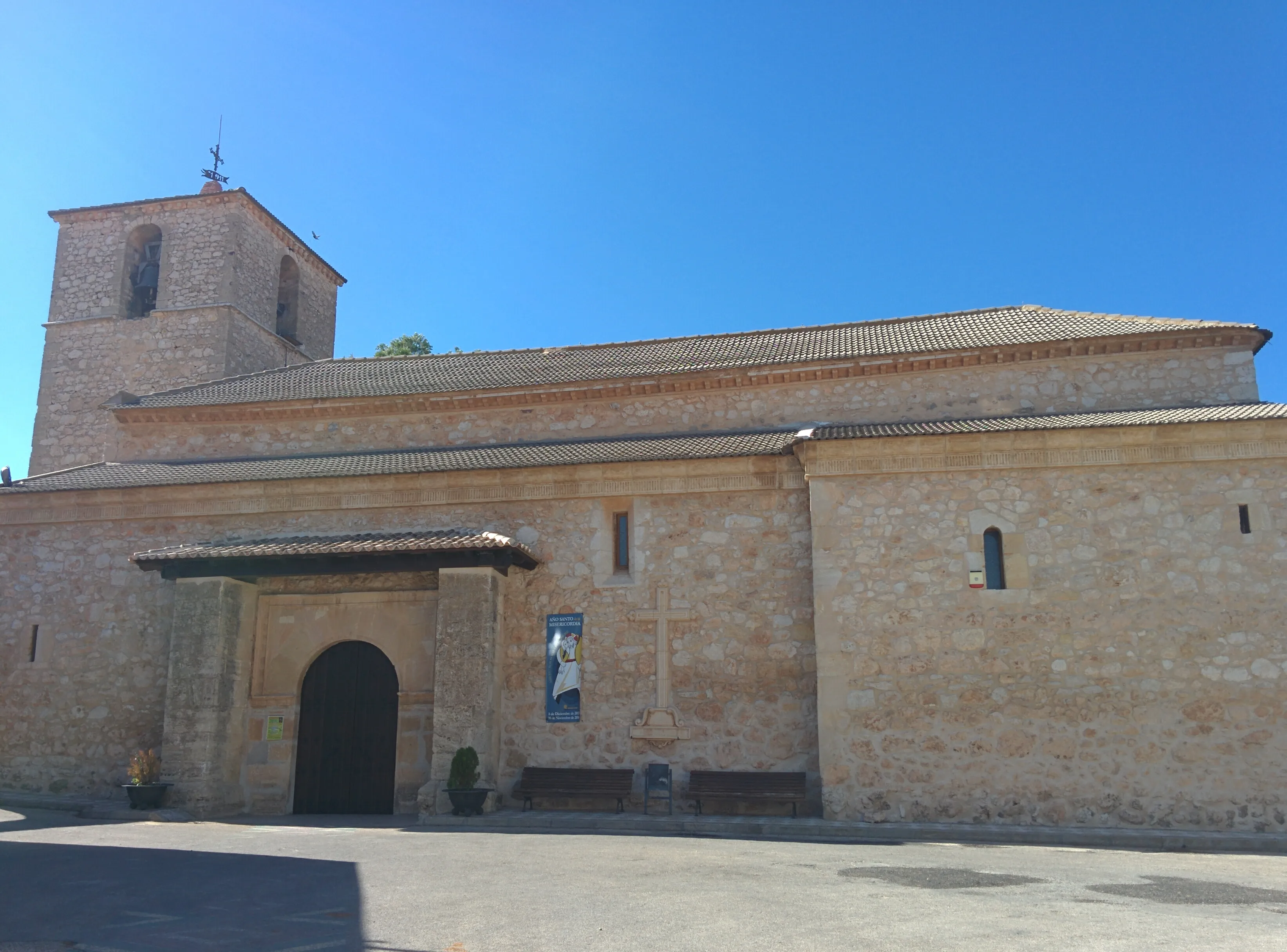
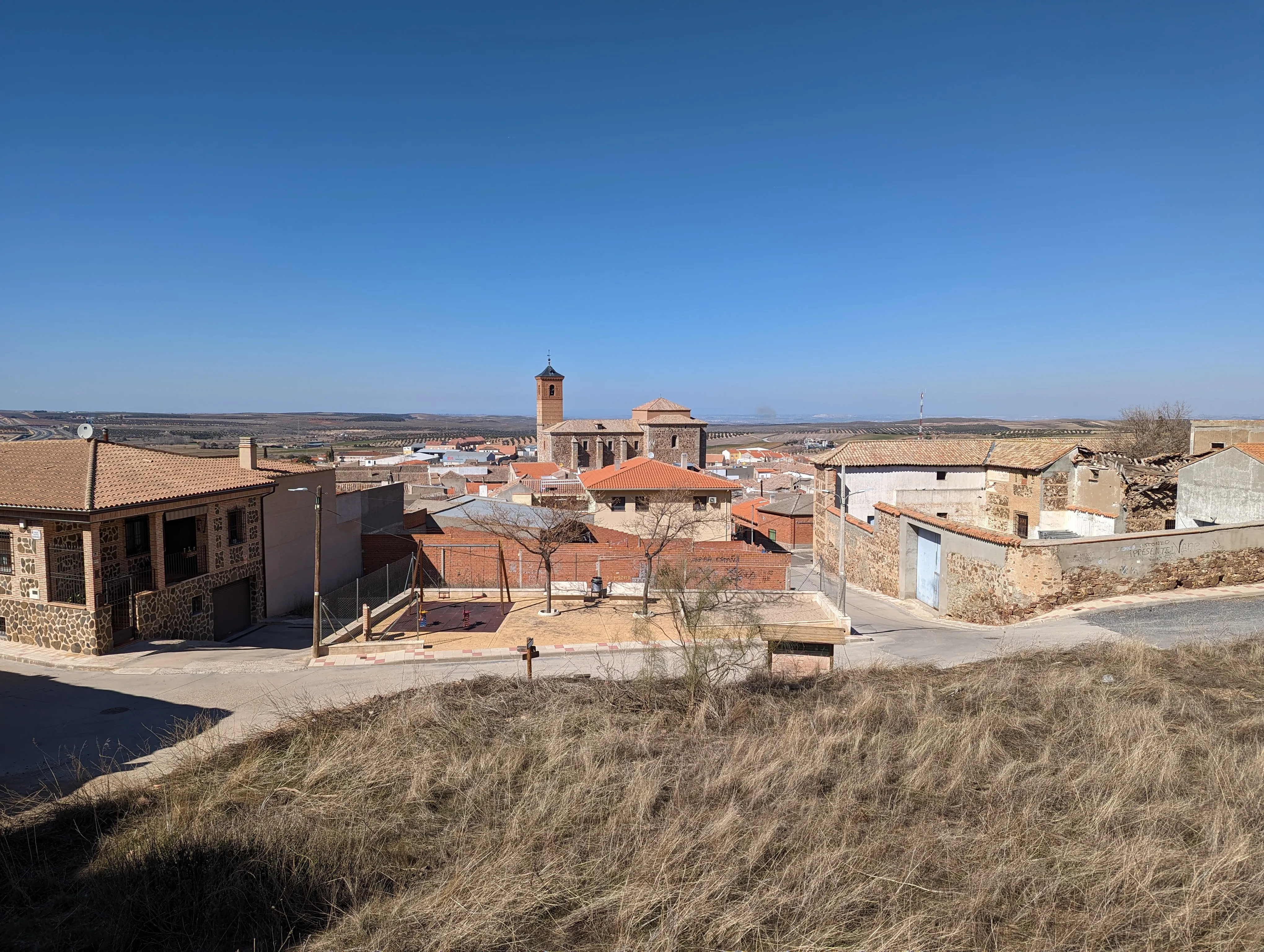
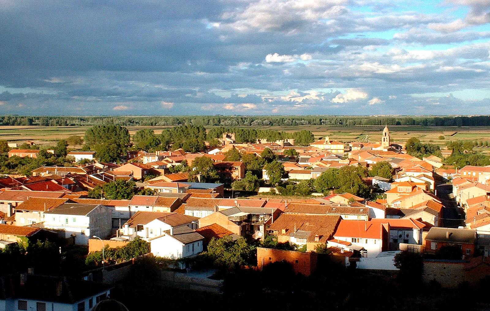
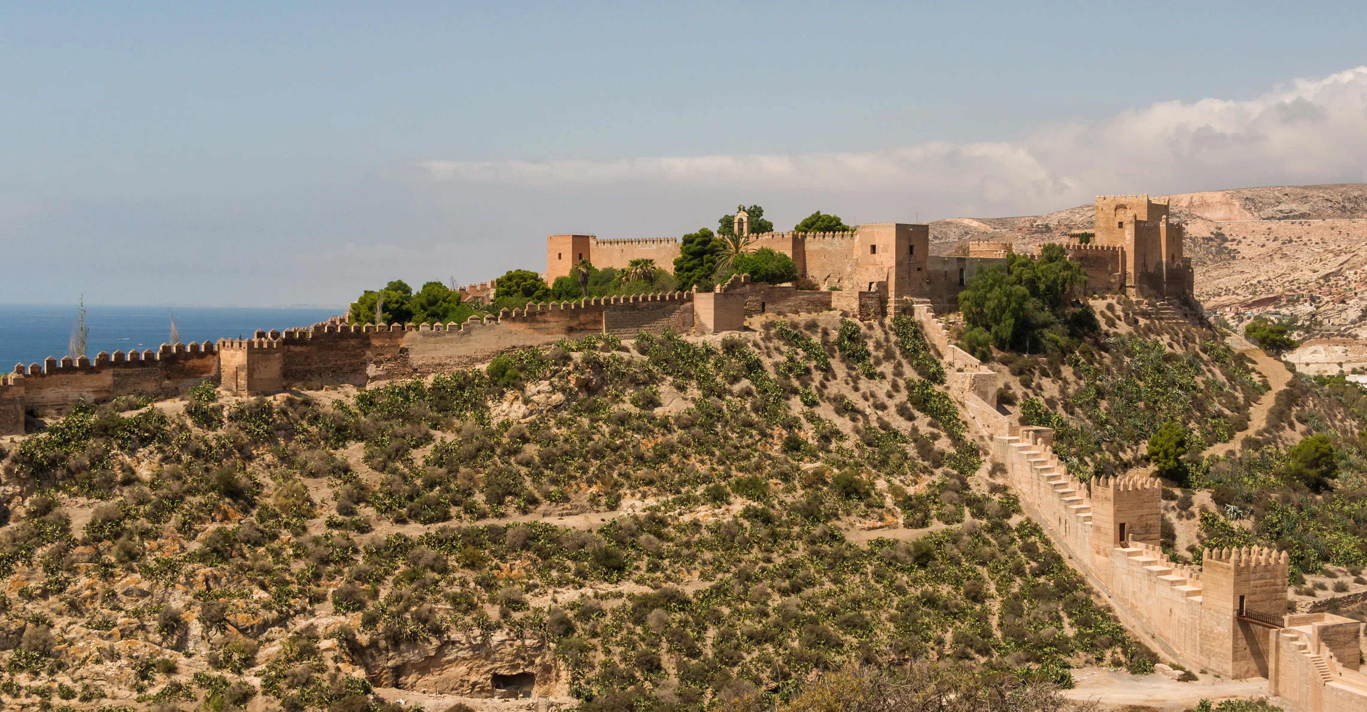
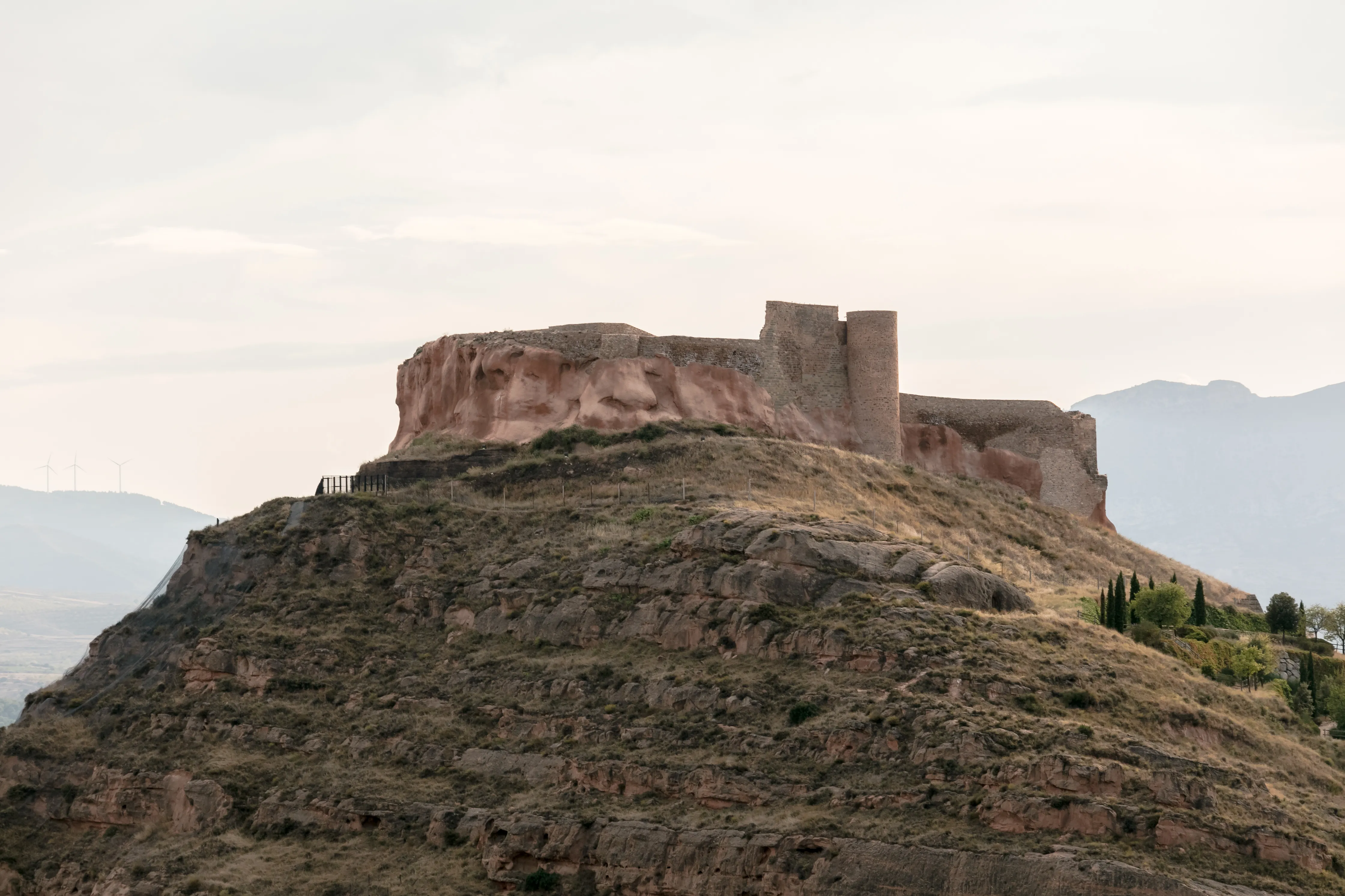
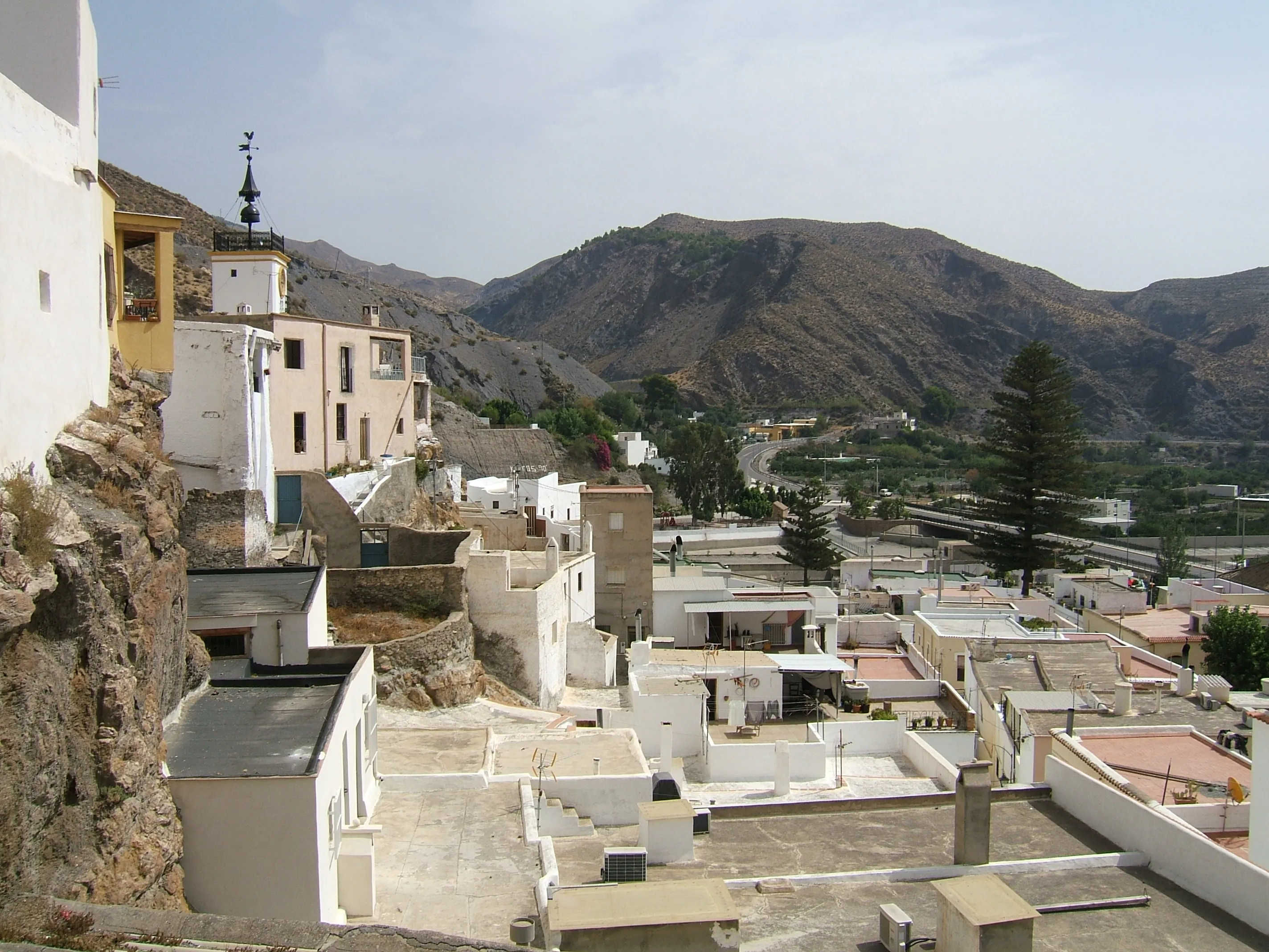
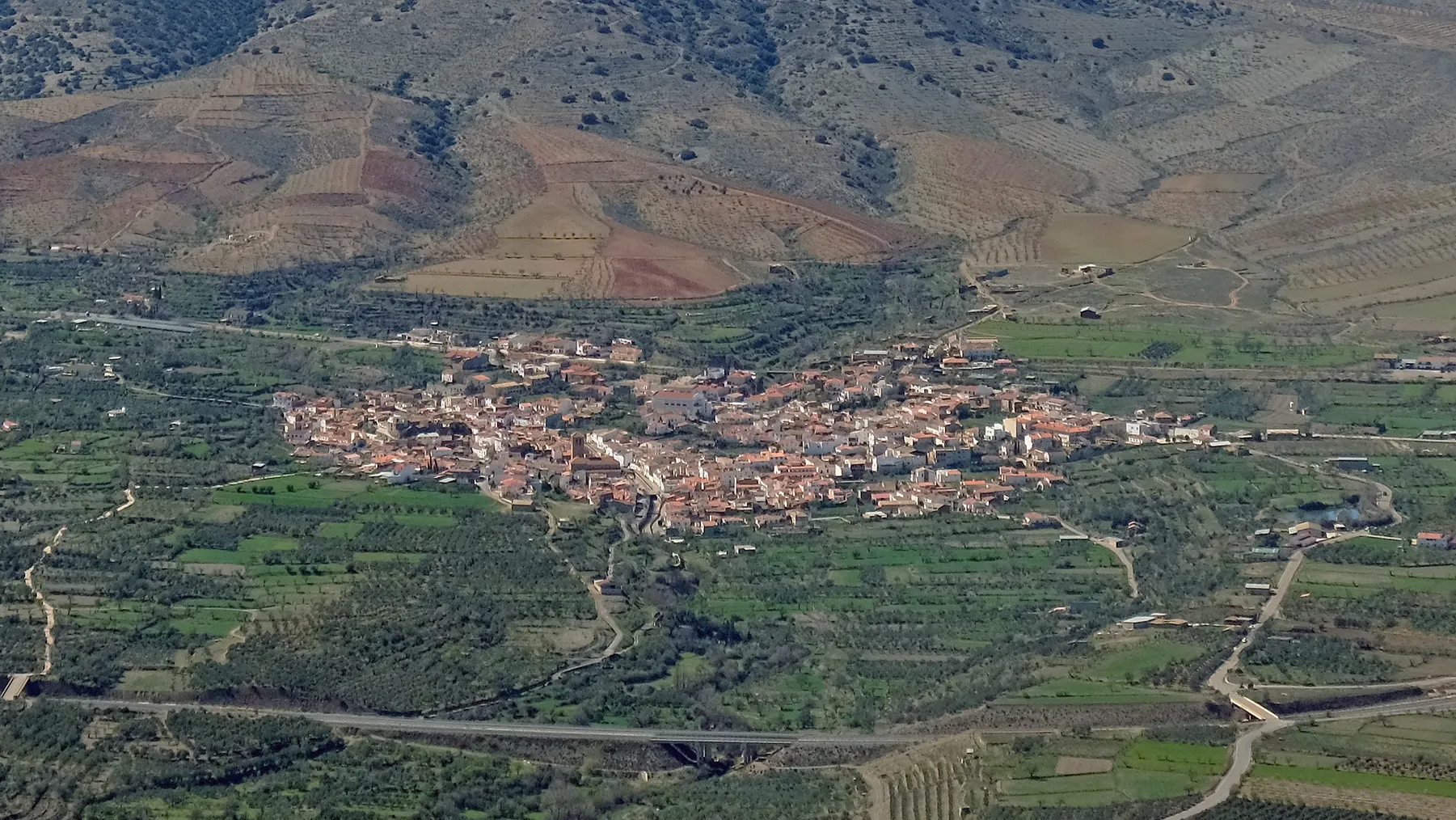
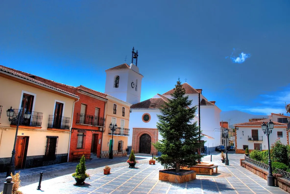
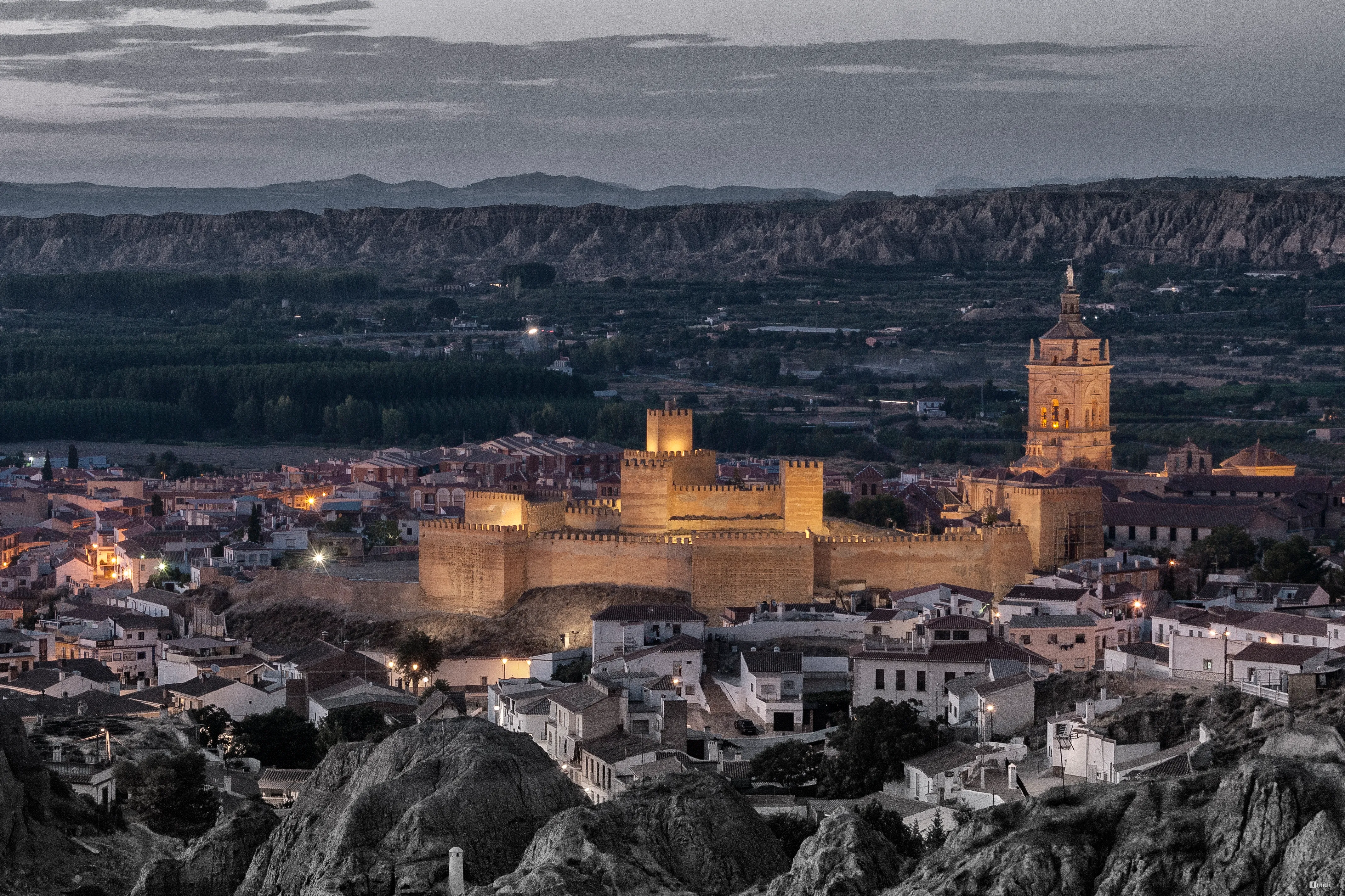
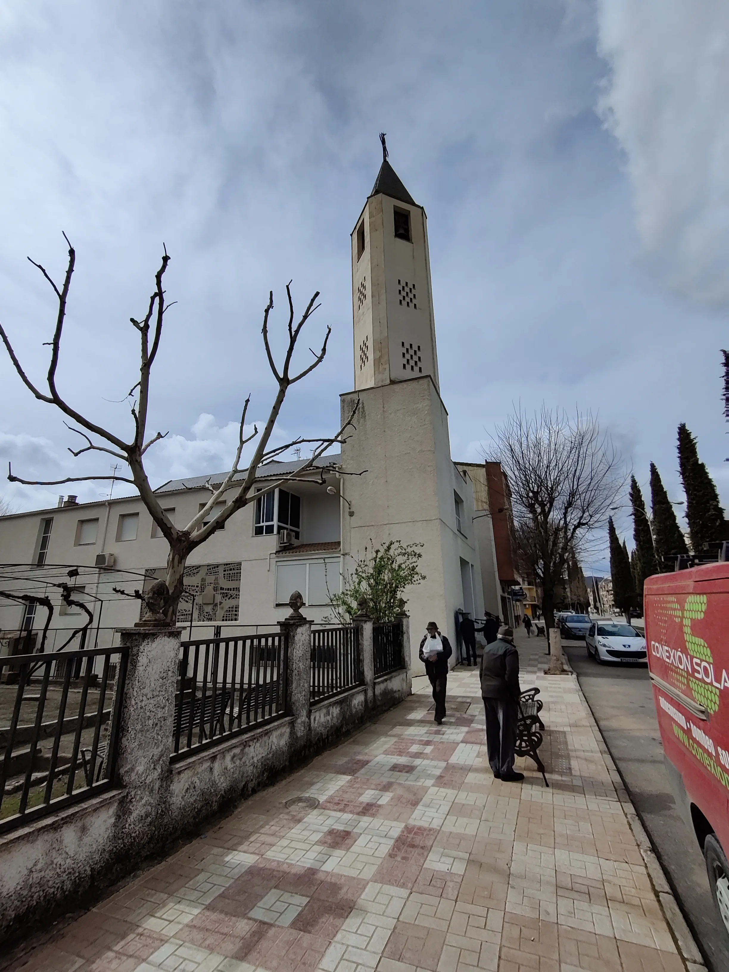
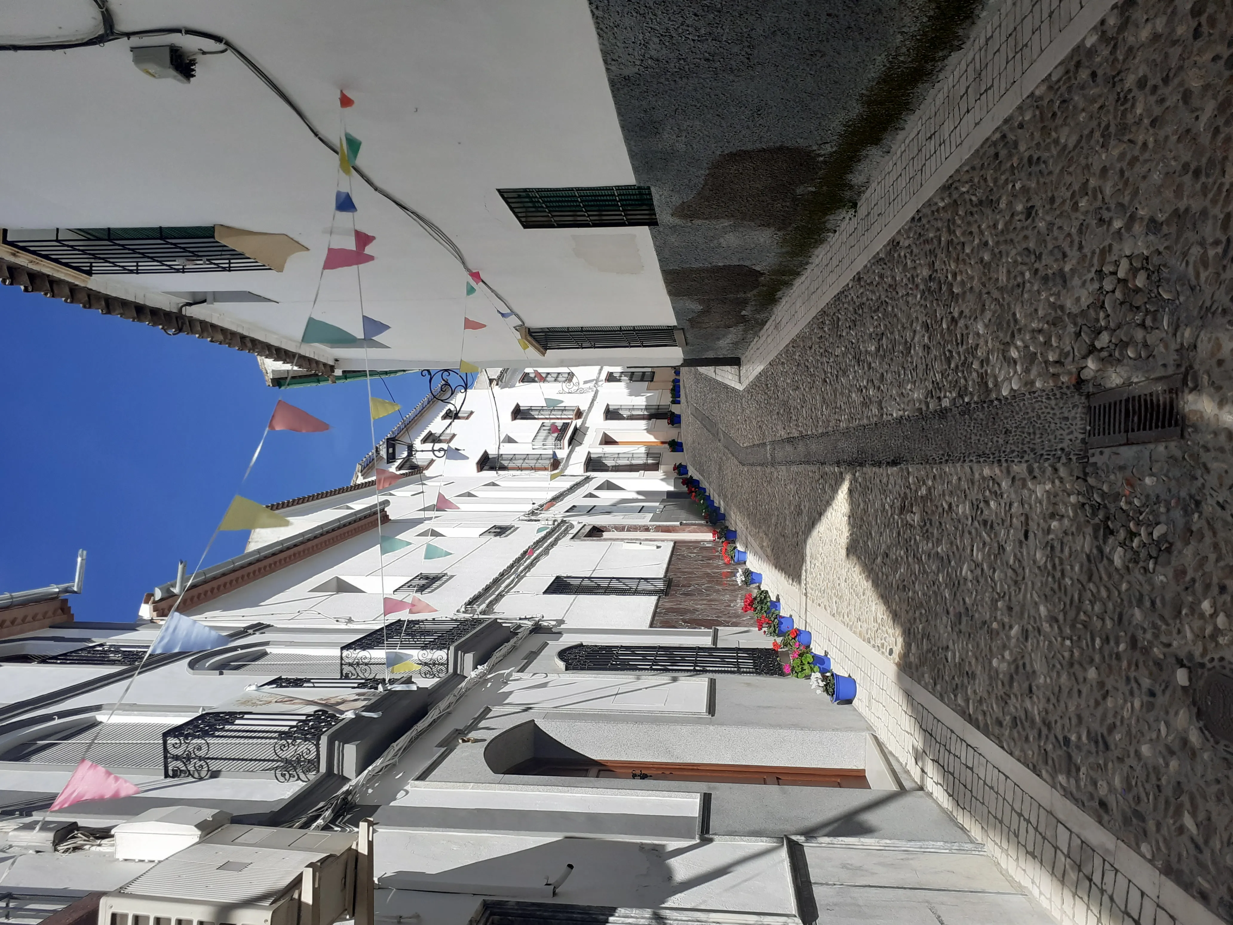
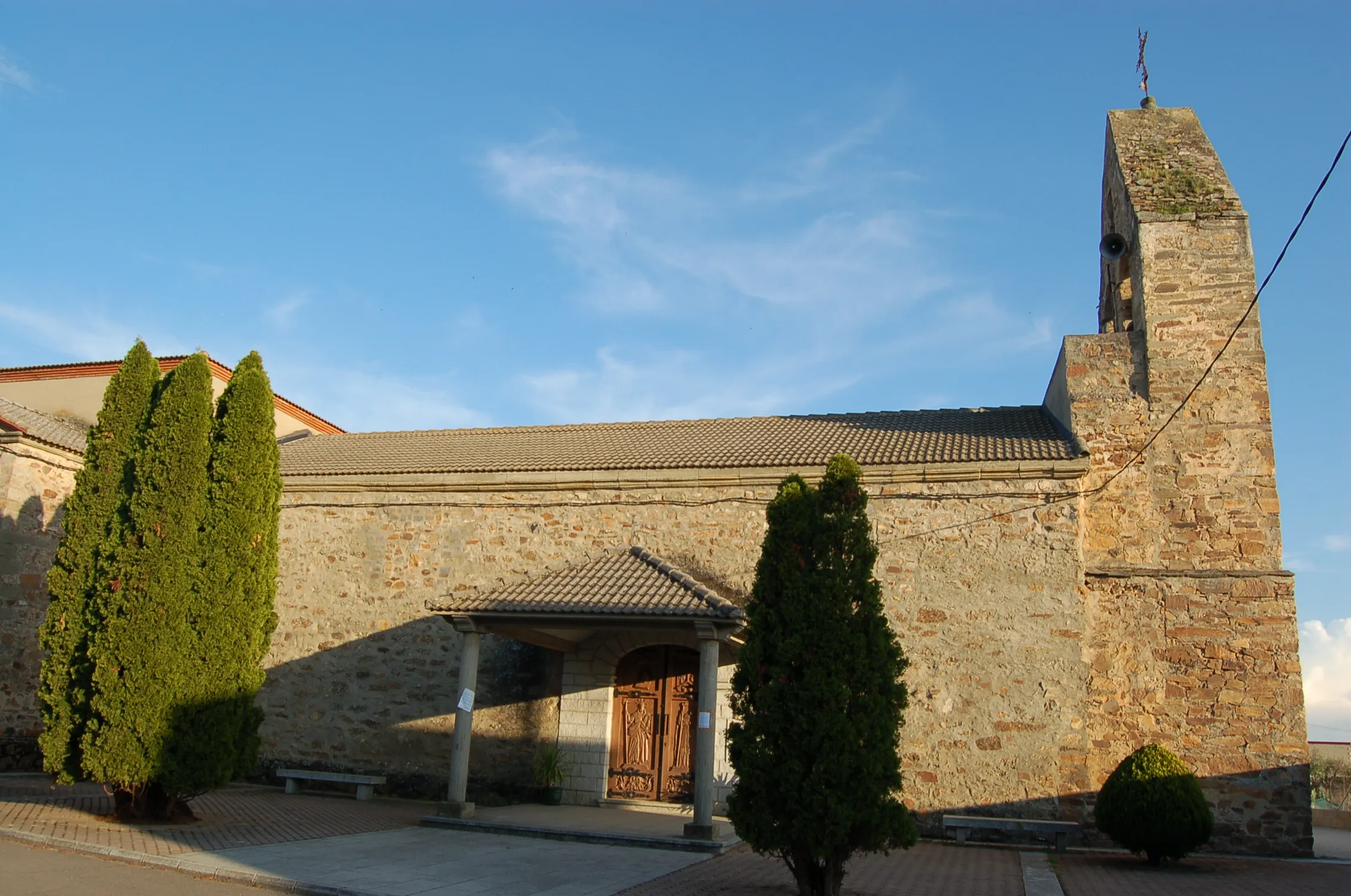
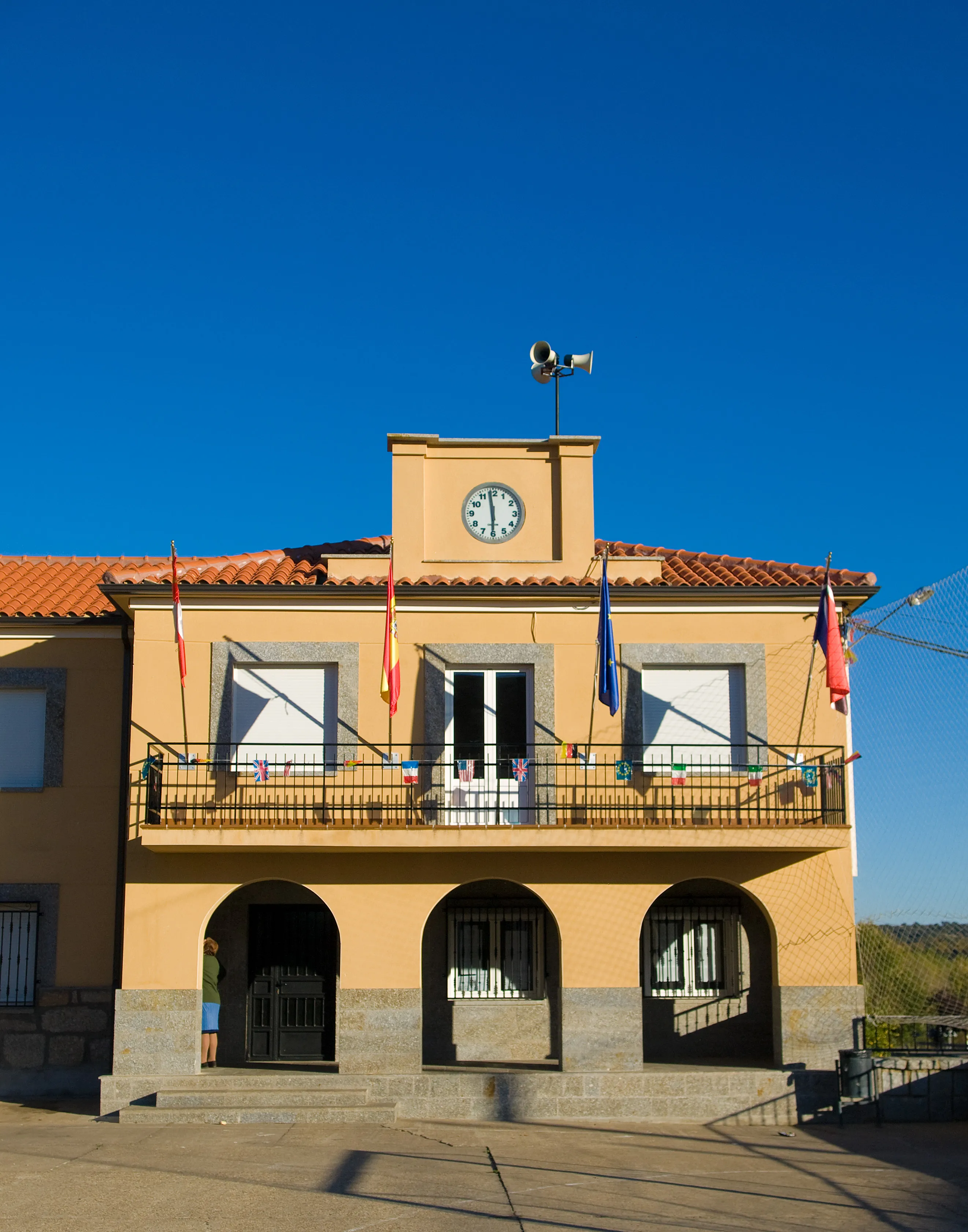
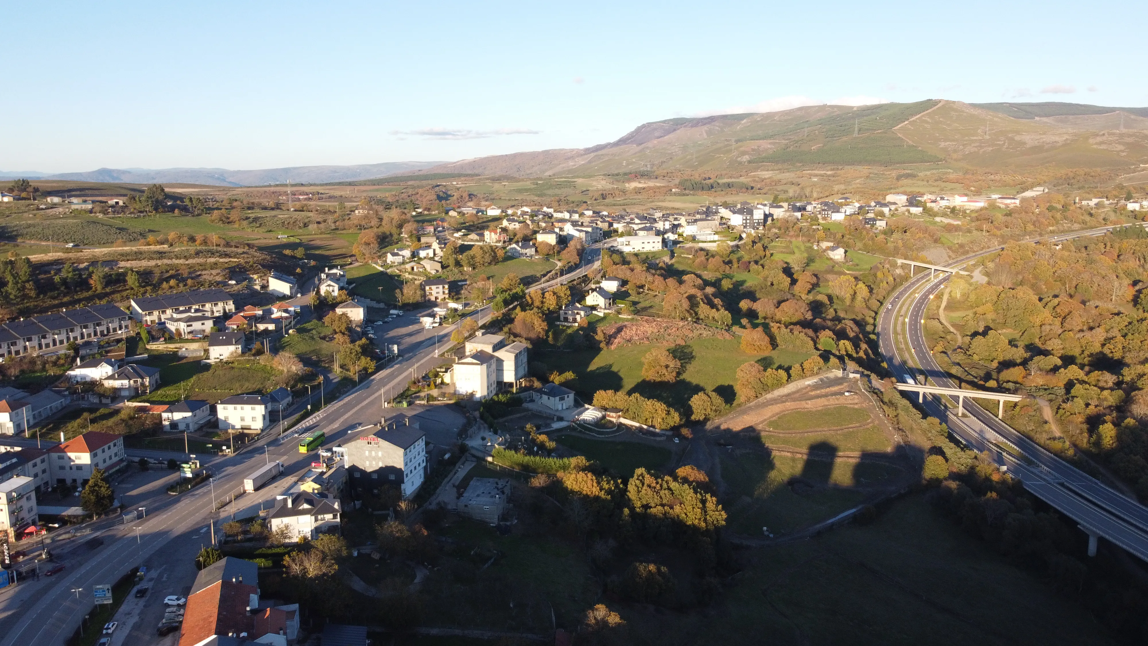
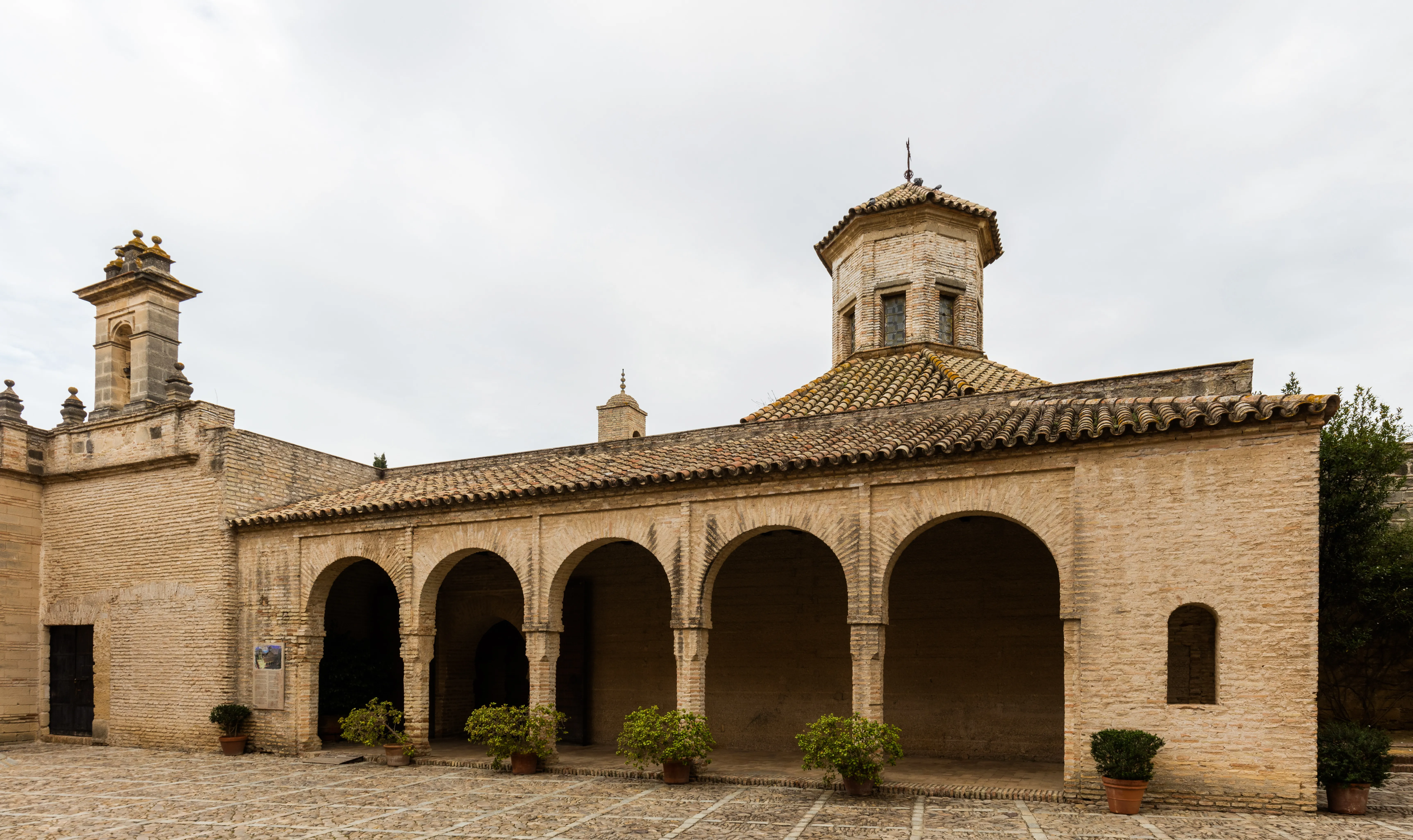
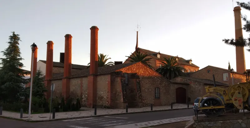
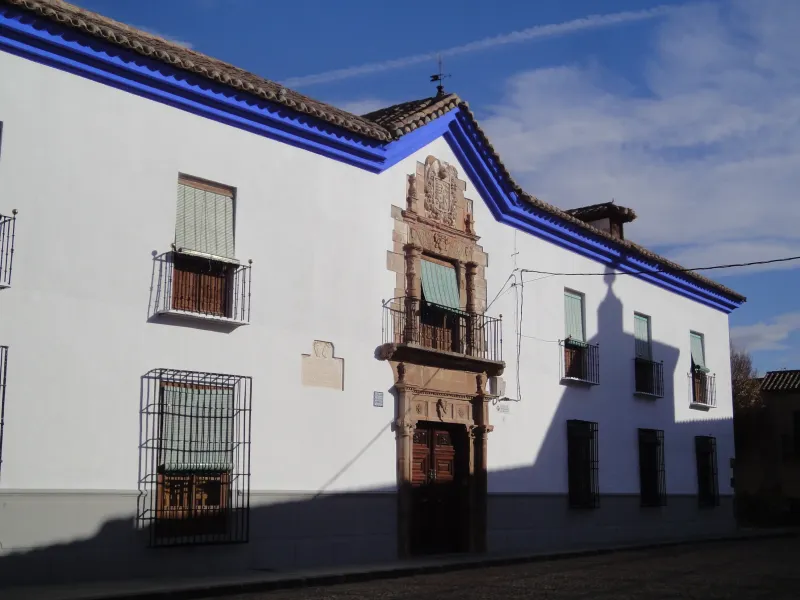
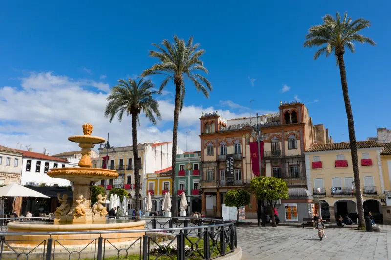
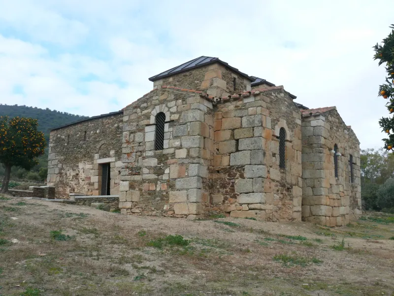
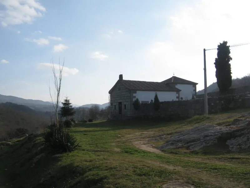
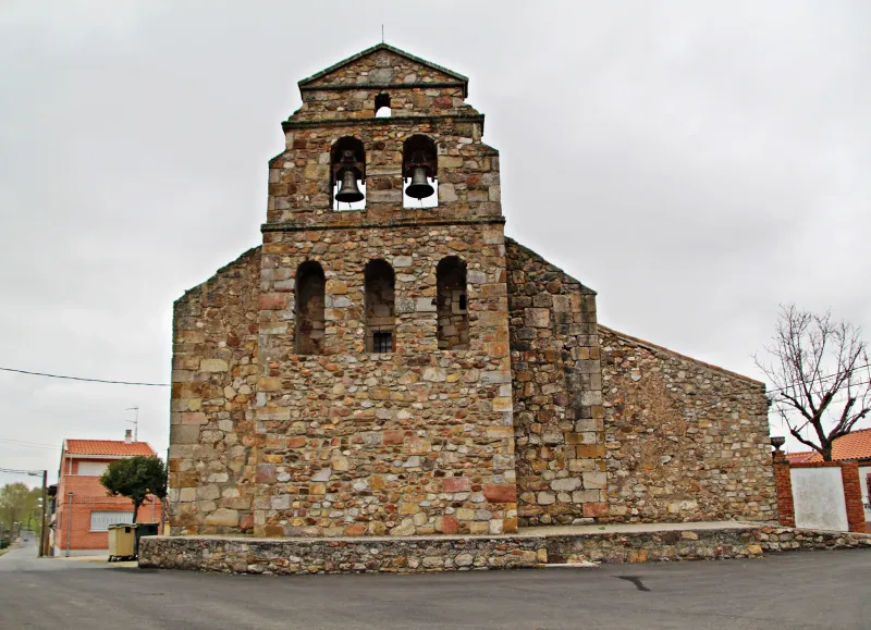
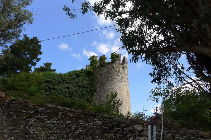
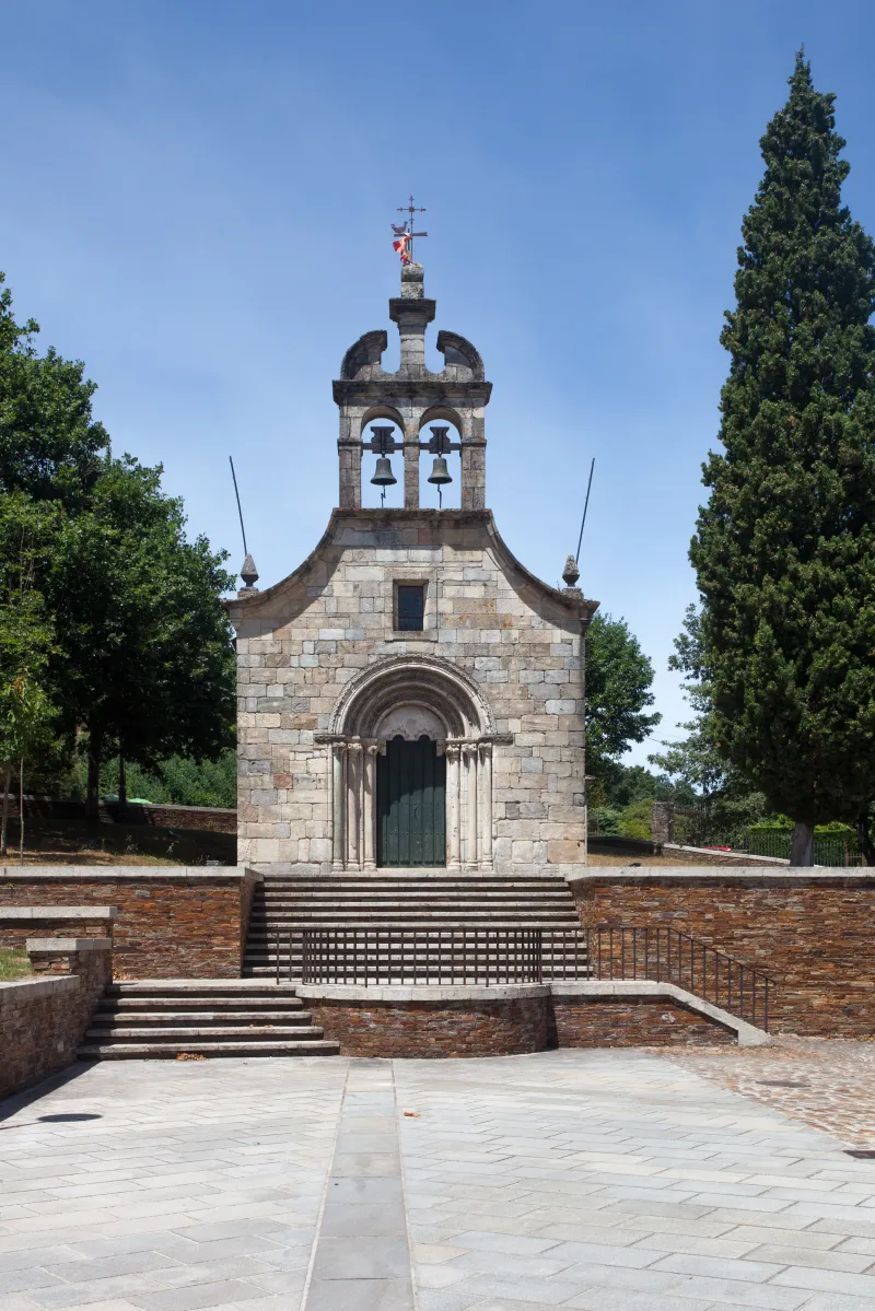
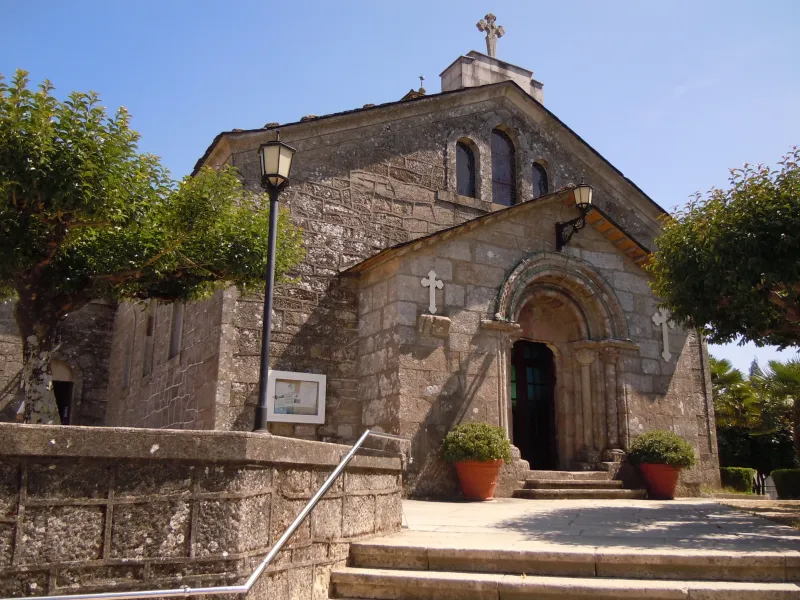
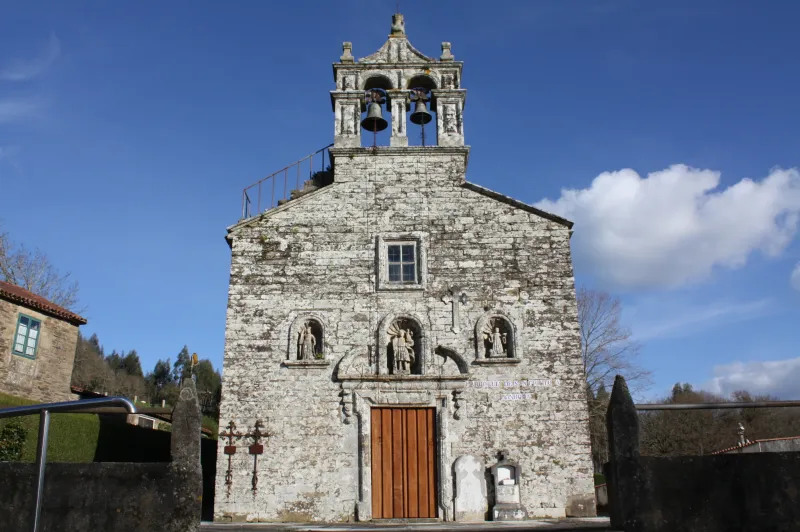
Towns
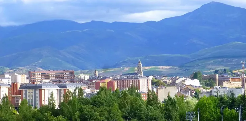
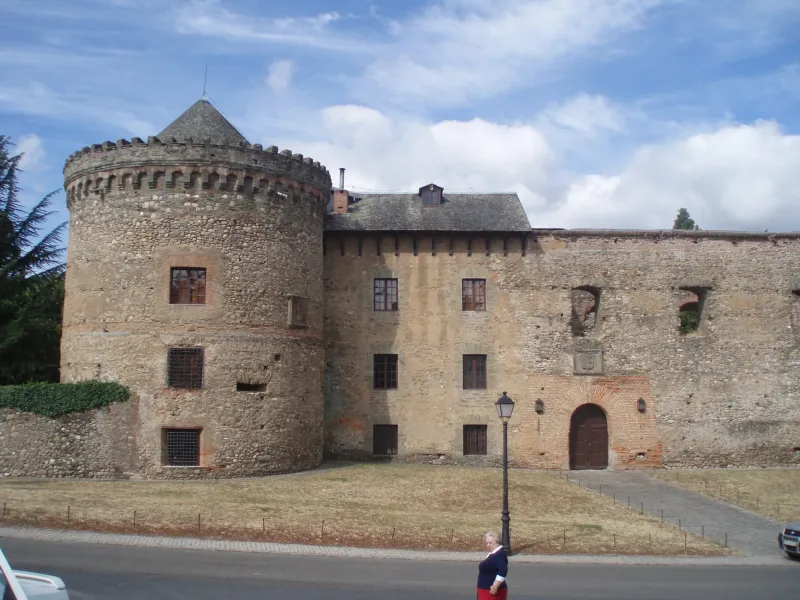
Featured Towns of Way of the Plate
Explore the key towns and cities of this route.


History
Millenary History of the Camino de Santiago: Origins and Evolution Way of the Plate
Discover the origins and evolution of Way of the Plate
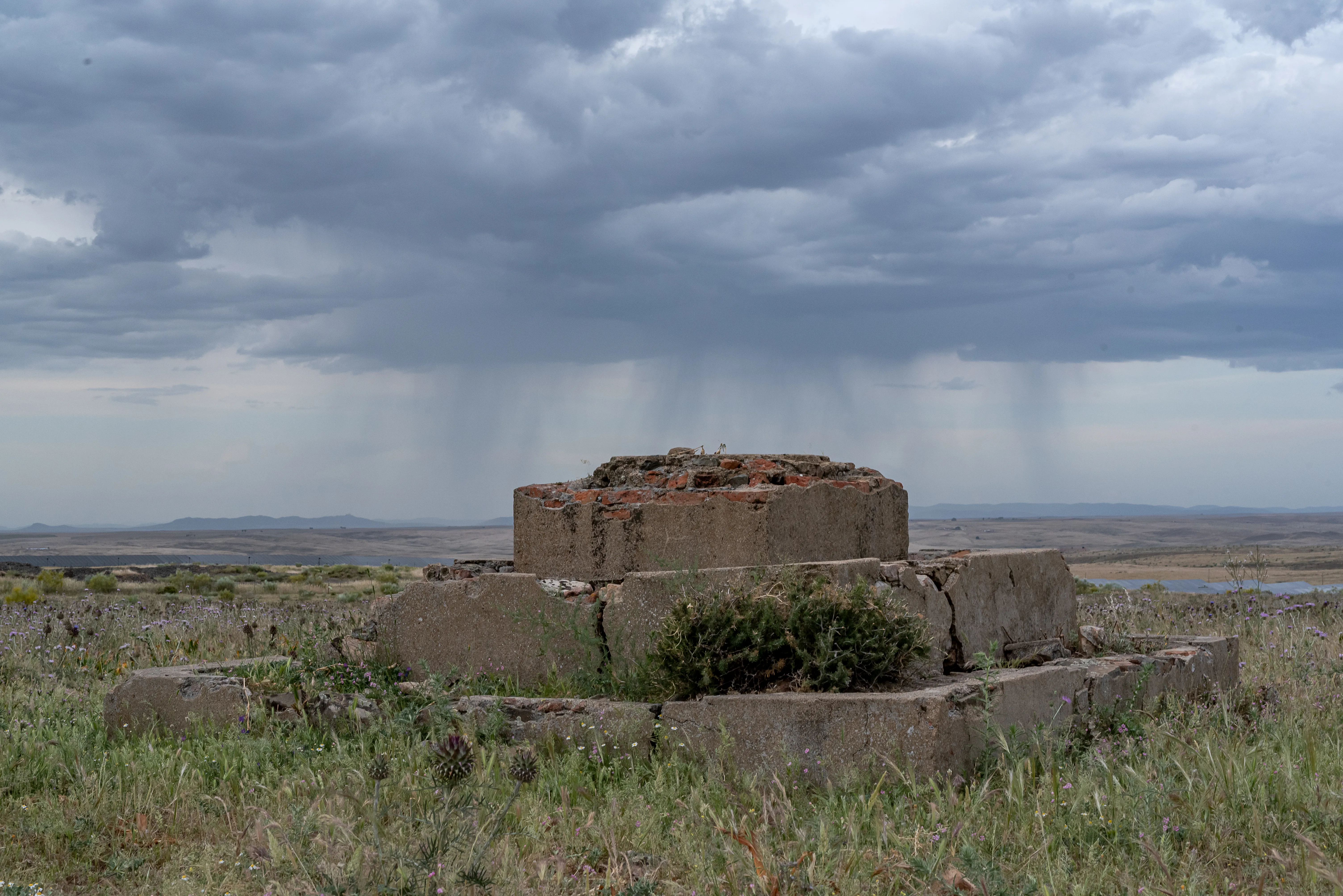
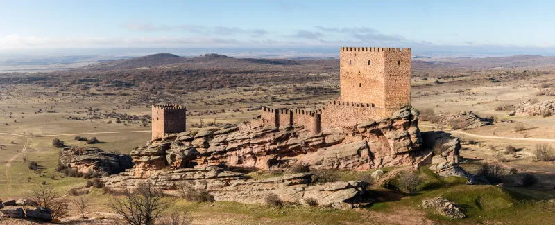
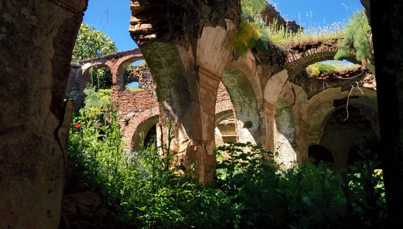
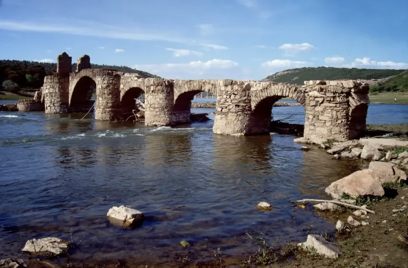
Its origins date back to the Roman calzada "Iter ab Emerita Asturicam", which connected two of the most important cities in Roman Hispania: Mérida (Emerita Augusta), the luxurious capital of the province of Lusitania, and Astorga (Asturica Augusta), a strategic administrative center in the northwest. This road was crucial for the movement of legions and, above all, for the transportation of mineral resources, such as the gold of Las Médulas. For centuries, it was the main artery of communication in western Spain.
With the fall of the Roman Empire and the arrival of the Visigoths, the road maintained its importance. However, its role as a pilgrimage route was born after the discovery of St. James' tomb in the 9th century. For Christians living under Muslim rule in Al-Andalus, the Silver Way became the natural and principal route for embarking on the long and perilous journey to the north. From cities like Seville, Córdoba, or Granada, these pilgrims sought out the ancient road to ascend into a territory often hostile, as an act of faith and cultural resistance.
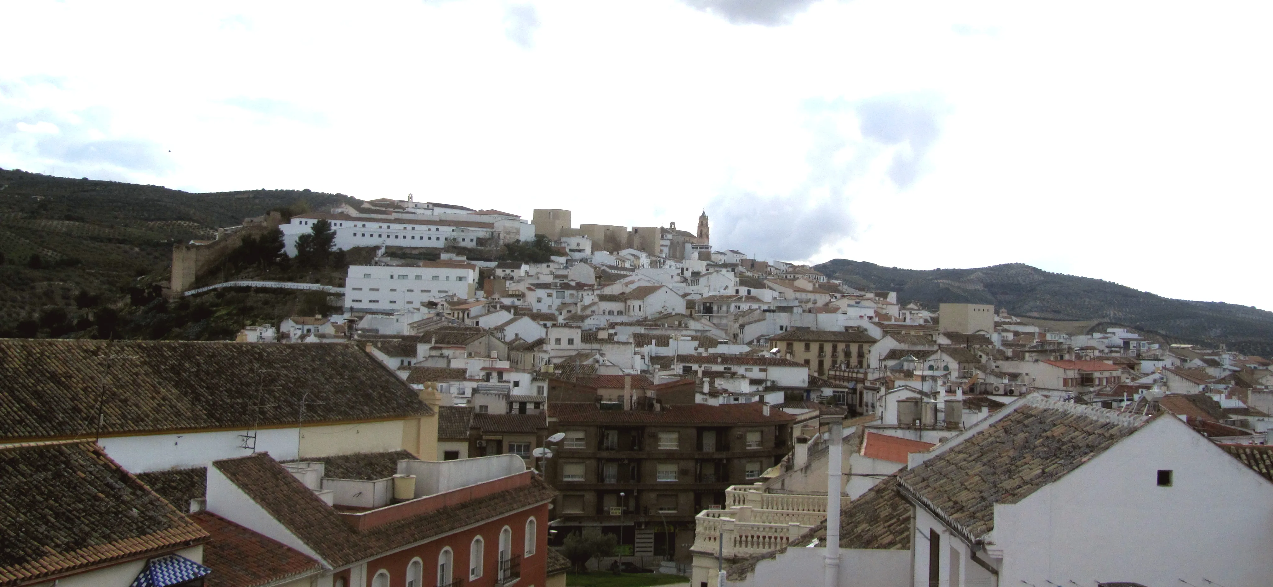
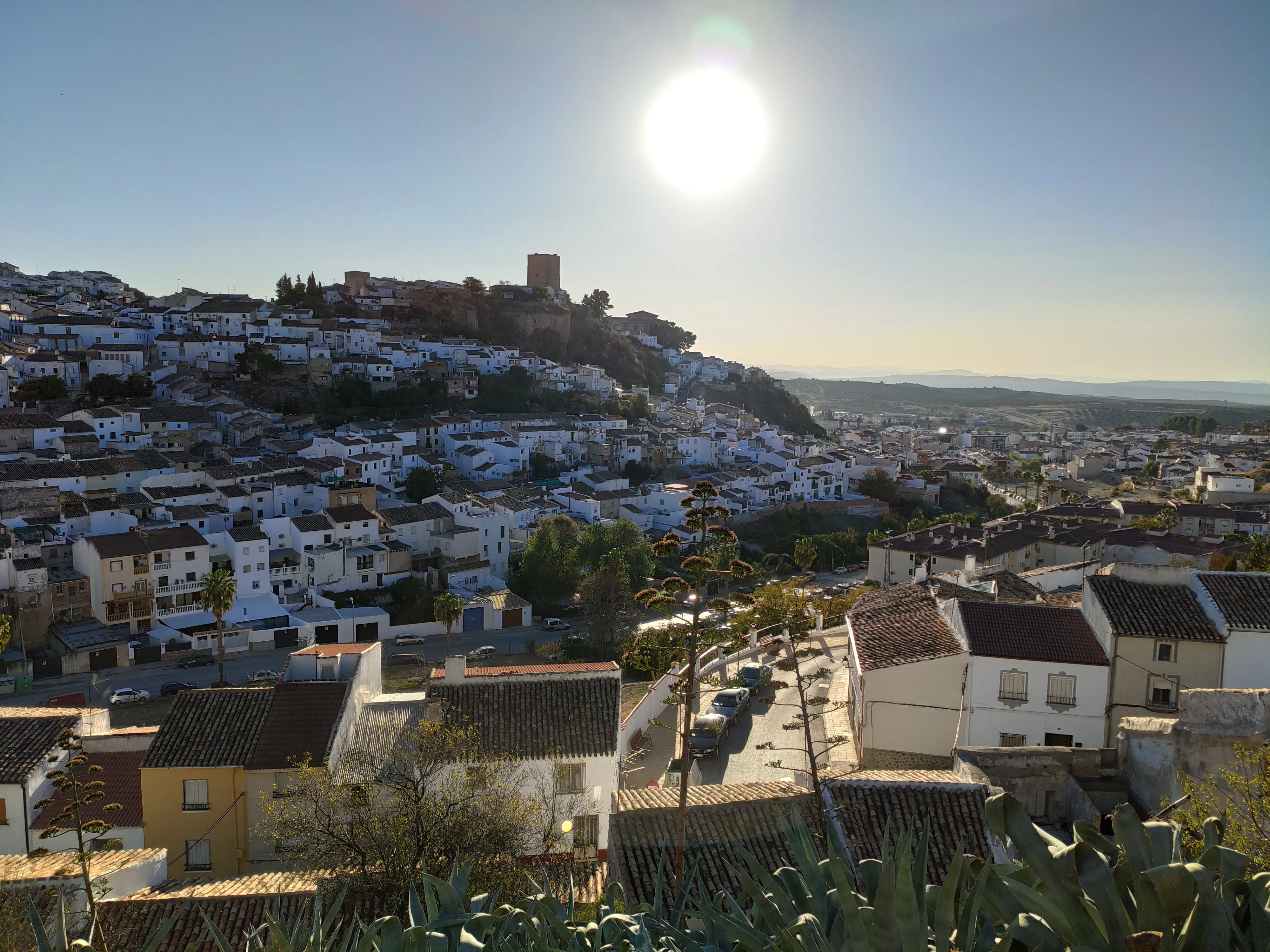
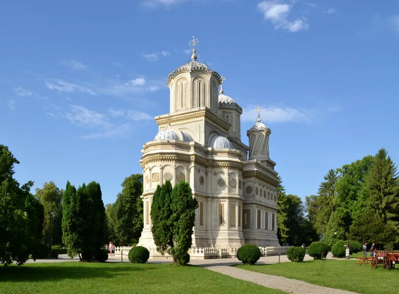
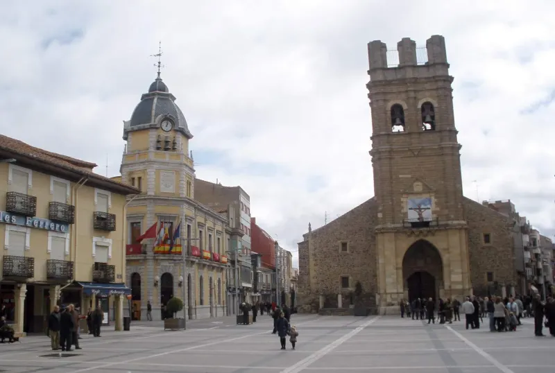
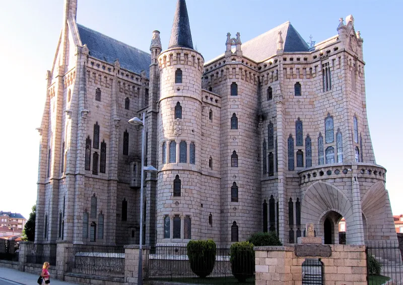
With the advancement of the Reconquista, the Silver Way solidified its status as a Jacobean route. The kings of León and Castile protected and promoted the repopulation of cities along its path, which today form an impressive catalog of monumental heritage. The pilgrim who sets out from Seville begins their journey in the capital Andalusian city, traverses the Roman ruins of Itálica, and enters the dehesas of Extremadura. They arrive at Mérida, the "little Rome", and continue northward, passing through the arch of Cáparra, a solitary vestige in the middle of the field that evokes the grandeur of the ancient road.
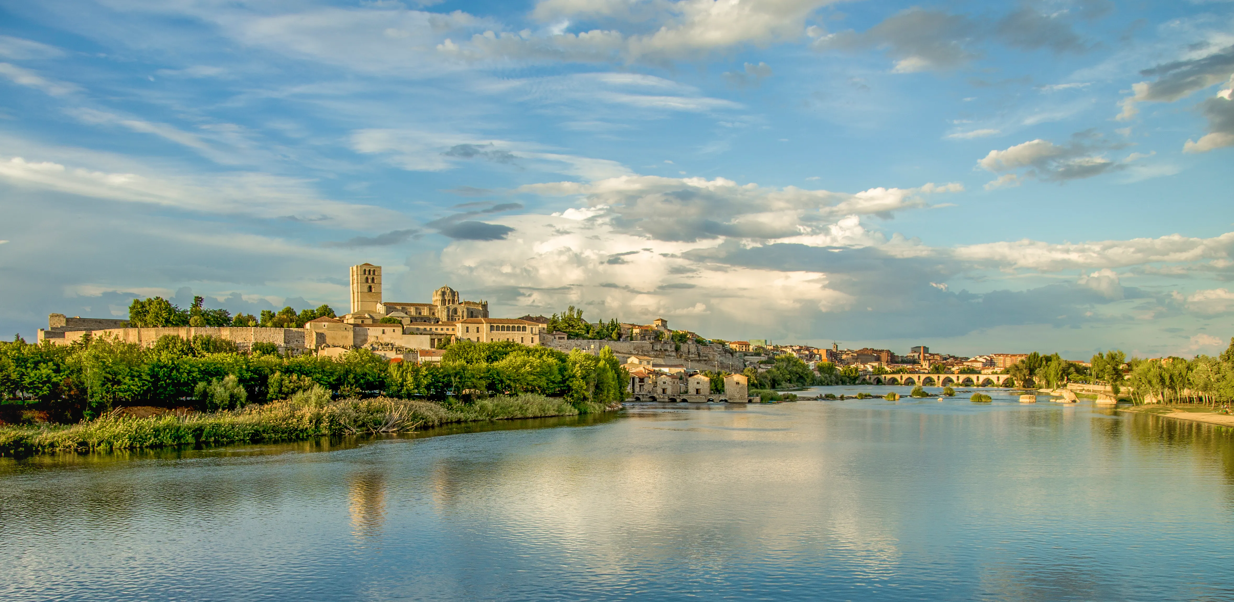
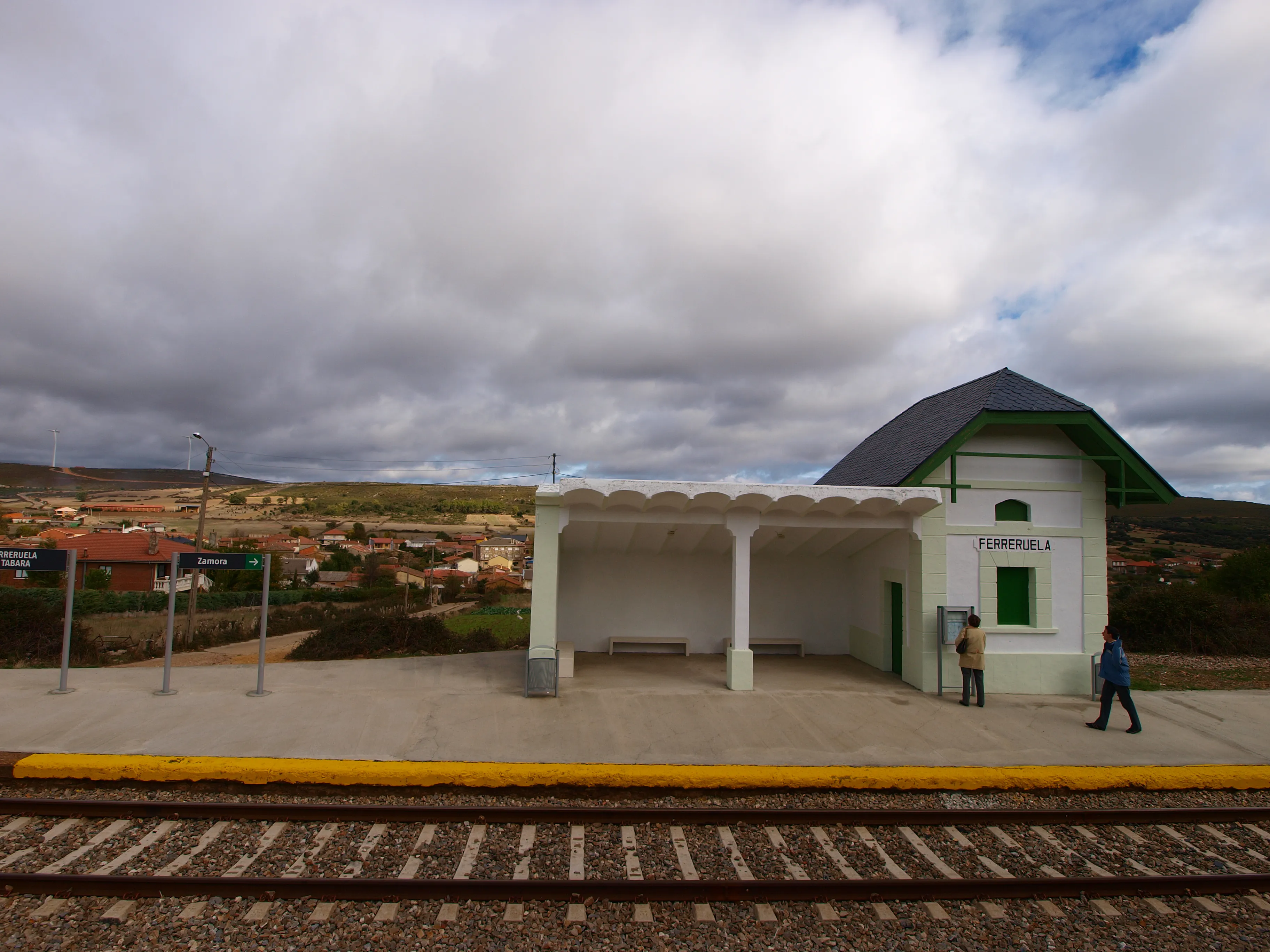
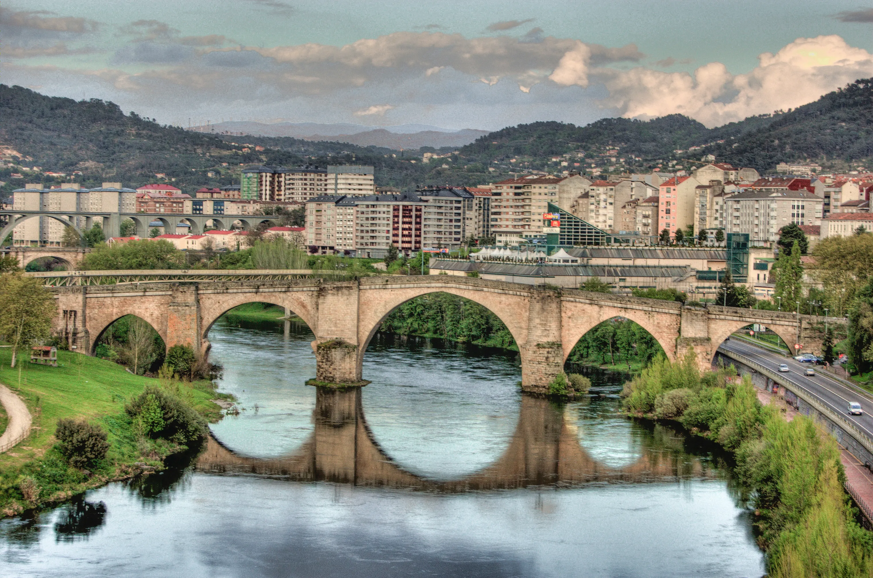
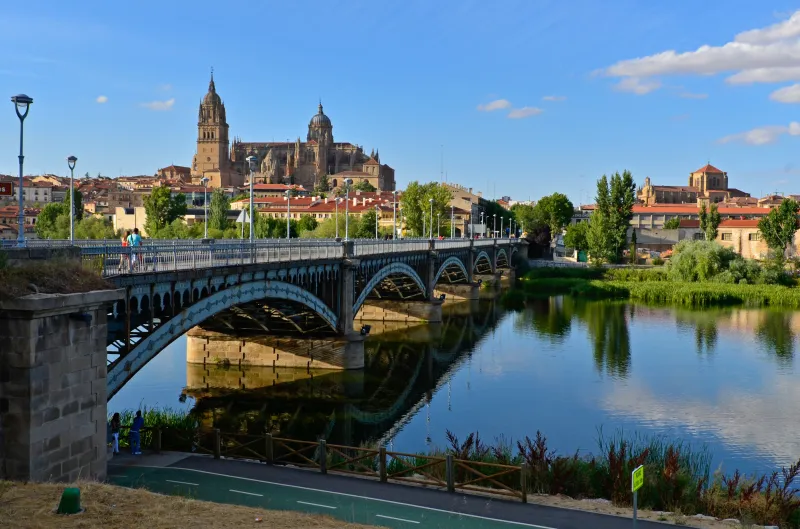
The next major milestone is Salamanca, the golden city, with its historic university and two cathedrals. After Salamanca, the pilgrim arrives at Zamora, the capital of Romanesque. It's here, in Granja de Moreruela, where the path bifurcates. The oldest historical option continued to Astorga to join the Camino Francés. However, from the 13th century onwards, a more direct alternative gained strength: the Camino Sanabrés, which deviated towards the northwest towards Ourense, becoming the logical and most traveled continuation of the Silver Way.
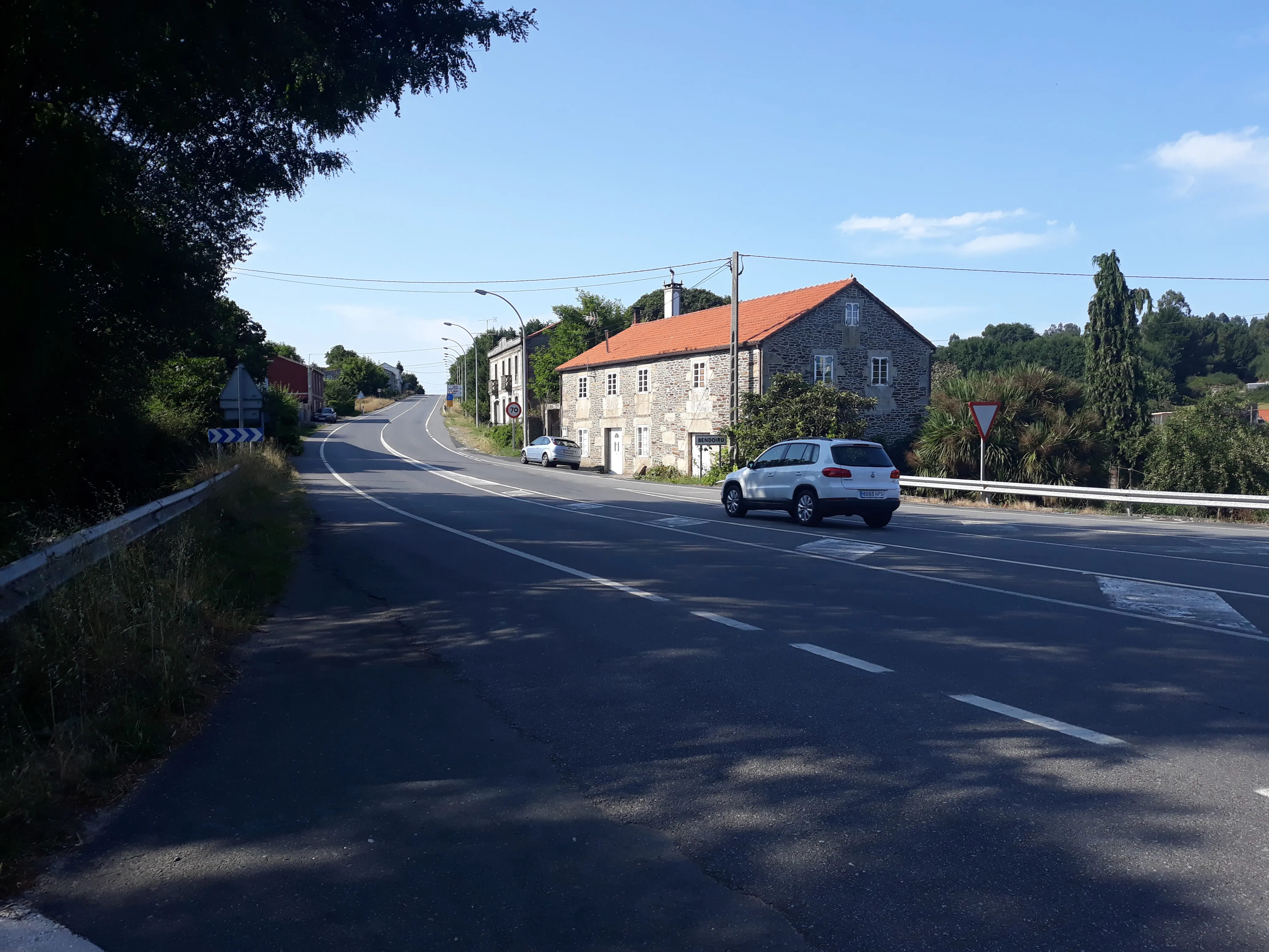
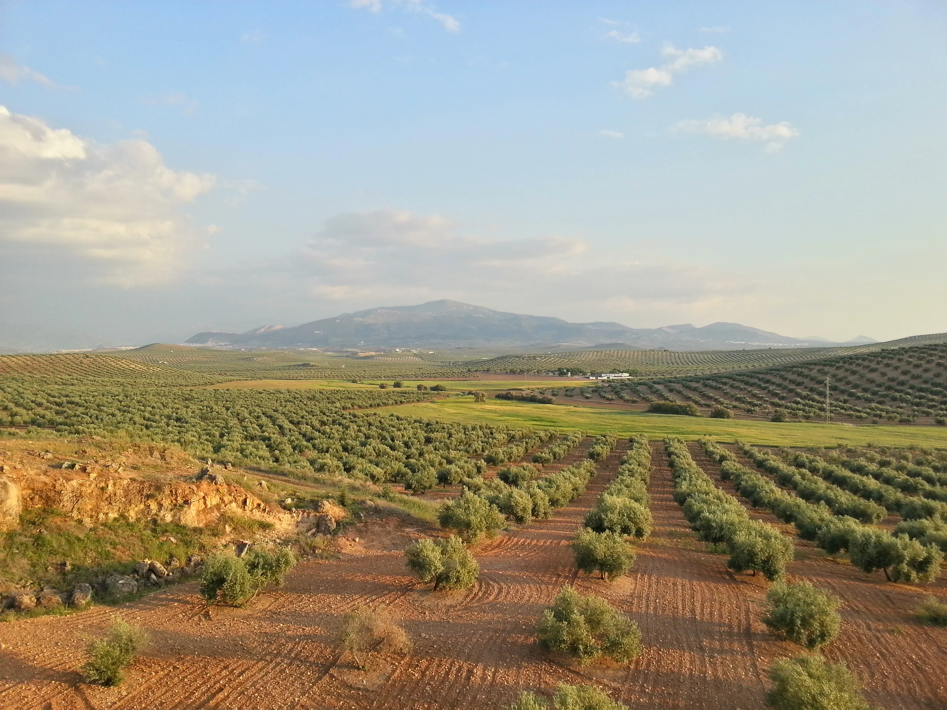
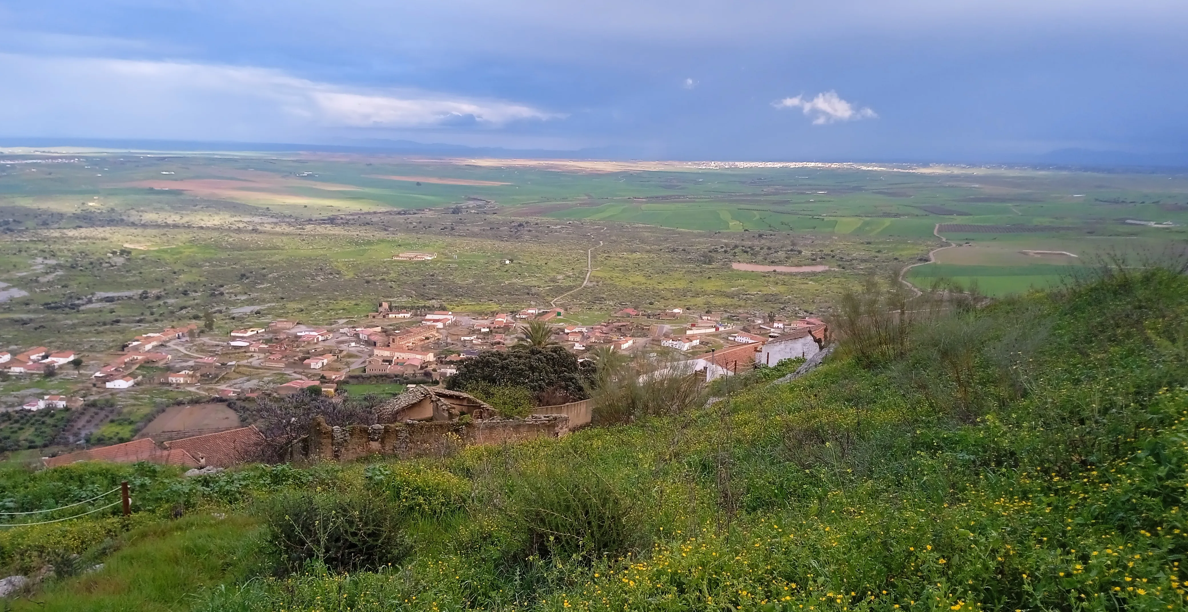
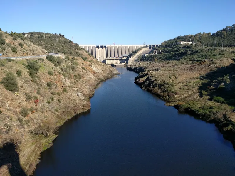
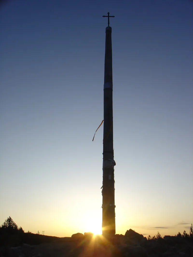
Walking the Silver Way today is an enormous challenge, a pilgrimage that requires excellent planning, especially due to the long distances between towns and the extreme heat of summer in its southern stretch. It's a path of solitude and introspection, which allows the pilgrim to be a witness to Spain's incredible diversity of landscapes: from Andalusian olive groves and Extremaduran dehesas to vast Castilian plains and mountain ranges entering Galicia.
We answer your questions
Frequently Asked Questions about Way of the Plate
Is the Via de la Plata the longest route?
Yes, the Via de la Plata is the longest route on the Peninsula, stretching about 1,000 km from Seville to Santiago de Compostela. It is typically covered in 35-40 stages and is one of the most solitary and authentic routes.
Where does the name Vía de la Plata come from?
The name is not related to the metal silver. It comes from the Arabic 'balat' (paved road), which in turn derives from the Roman road connecting Mérida (Emerita Augusta) with Astorga (Asturica Augusta). It is one of the oldest communication routes on the Peninsula.
When is the best time to do the Vía de la Plata?
Spring (March-May) and autumn (October-November) are the best times. Summer is extremely hot in Extremadura and Castilla, with temperatures exceeding 40°C. Winter stages in the north can be very cold.
What is the difficulty of the Camino Vía de la Plata and how does it compare to other Jacobean routes?
The Vía de la Plata is a high-difficulty route due to its length, spanning nearly 1000 kilometers. This journey involves greater physical demands compared to the French Way and Sanabrés Route because of its distance and the geographical diversity it covers, from dehesas to Castilian mountains.
What does the complete package for walking the Vía de la Plata with Ourway Travel include?
Ourway Travel offers a comprehensive package to walk the Vía de la Plata, including accommodation in hostels and hotels, personalized itinerary advice, luggage transfer management during your journey, and 24/7 assistance. We also provide you with a pilgrim's credential to facilitate your passage.
How does the Vía de la Plata compare to the Camino Francés in terms of history and culture?
The Vía de la Plata has a longer history than the Camino Francés, as it was part of Roman roads before becoming a Jacobean route. It offers a unique cultural journey through western Spain, with unparalleled historical and monumental richness compared to northern Spain.
How many days should one reserve to complete the Vía de la Plata in its entirety?
It is recommended to reserve 38-40 days to walk the Vía de la Plata from Seville to Santiago. This timeframe allows for an appropriate pace to enjoy both the scenery and the history and culture along the way.
How can I manage my luggage during my pilgrimage on the Vía de la Plata with Ourway Travel?
Ourway Travel makes it easy to manage your luggage along the Camino Vía de la Plata. We will simply book and coordinate the shipment of your belongings from one stage to another, allowing you to carry only what is necessary for each leg.
Organize Your Camino
Ready for this adventure?
Way of the Plate