Camino de Santiago
Road of the Blendios
Walks along the Calzada de los Blendios, a historic route that connects the Meseta (Herrera de Pisuerga) to the Cantabrian coast (Suances), crossing ancient Roman and medieval roads.
Organize your Road of the BlendiosLast updated: 21/05/2024
The Route
General Description of Road of the Blendios
Related Routes
Connections of Road of the Blendios
The French Way
779 km
33
Media
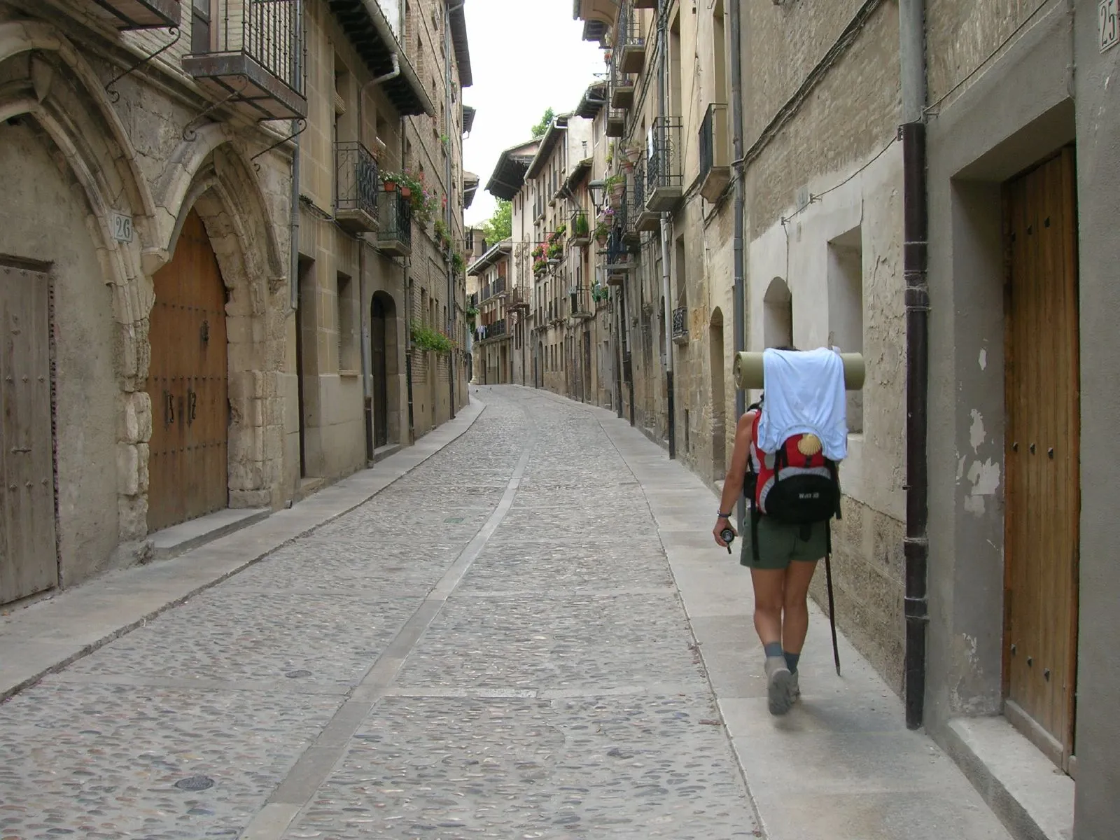
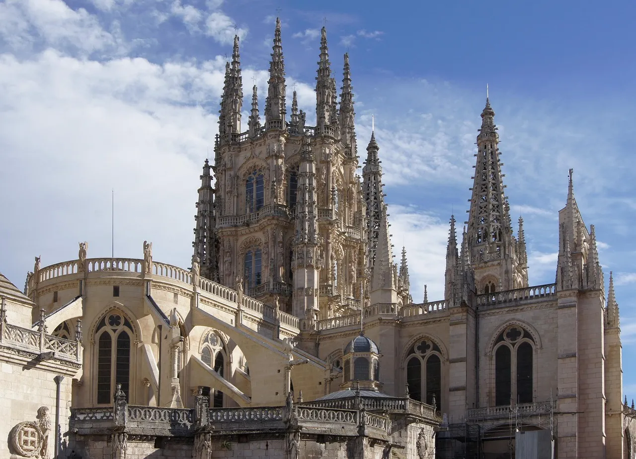
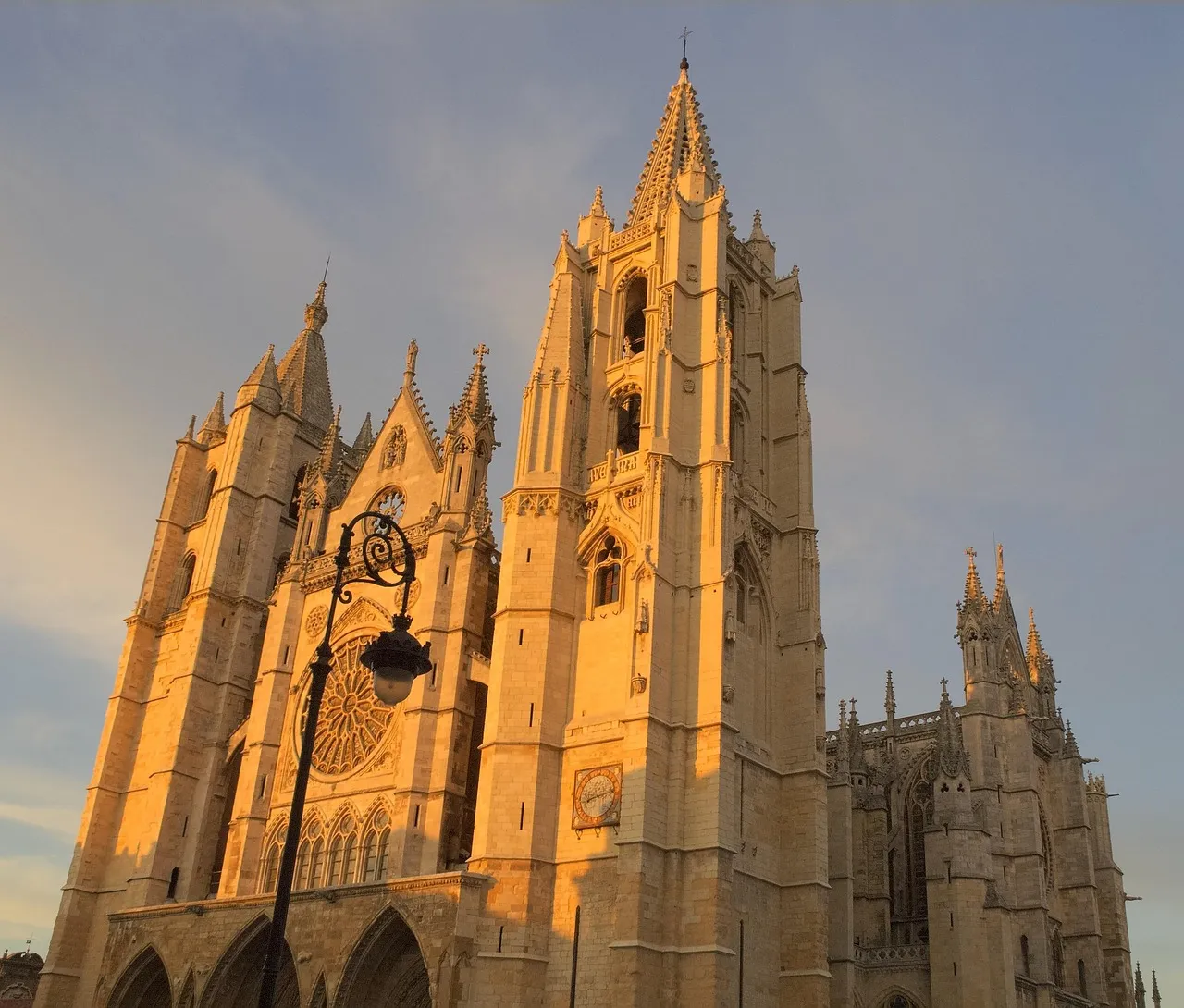
The Camino Francés is the pilgrimage route to Santiago de Compostela of excellence, chosen by thousands of pilgrims every year. With a journey of approximately 780 km from Saint-Jean-Pied-de-Port or less from Roncesvalles, it traverses northern Spain. This path, declared a World Heritage Site by UNESCO, offers exceptional infrastructure for services and hostels.
Pilgrims traverse Navarra, La Rioja, Castile and León, and finally Galicia, marveling at monumental cities such as Pamplona, Burgos, and León, and charming villages. The diversity of its landscapes is one of its greatest attractions, from the Pyrenees and the Castilian plains to the green forests of Galicia. It's a physical and spiritual journey that leaves an indelible mark, ideal for both experienced pilgrims and those starting out on the Camino de Santiago.
Stages of this variant:
Stage 1: St. Jean Pied de Port to Roncesvalles
Stage 2: Roncesvalles to Zubiri
Stage 3: Zubiri is going to Pamplona.
Stage 4: Pamplona to Pontevedra
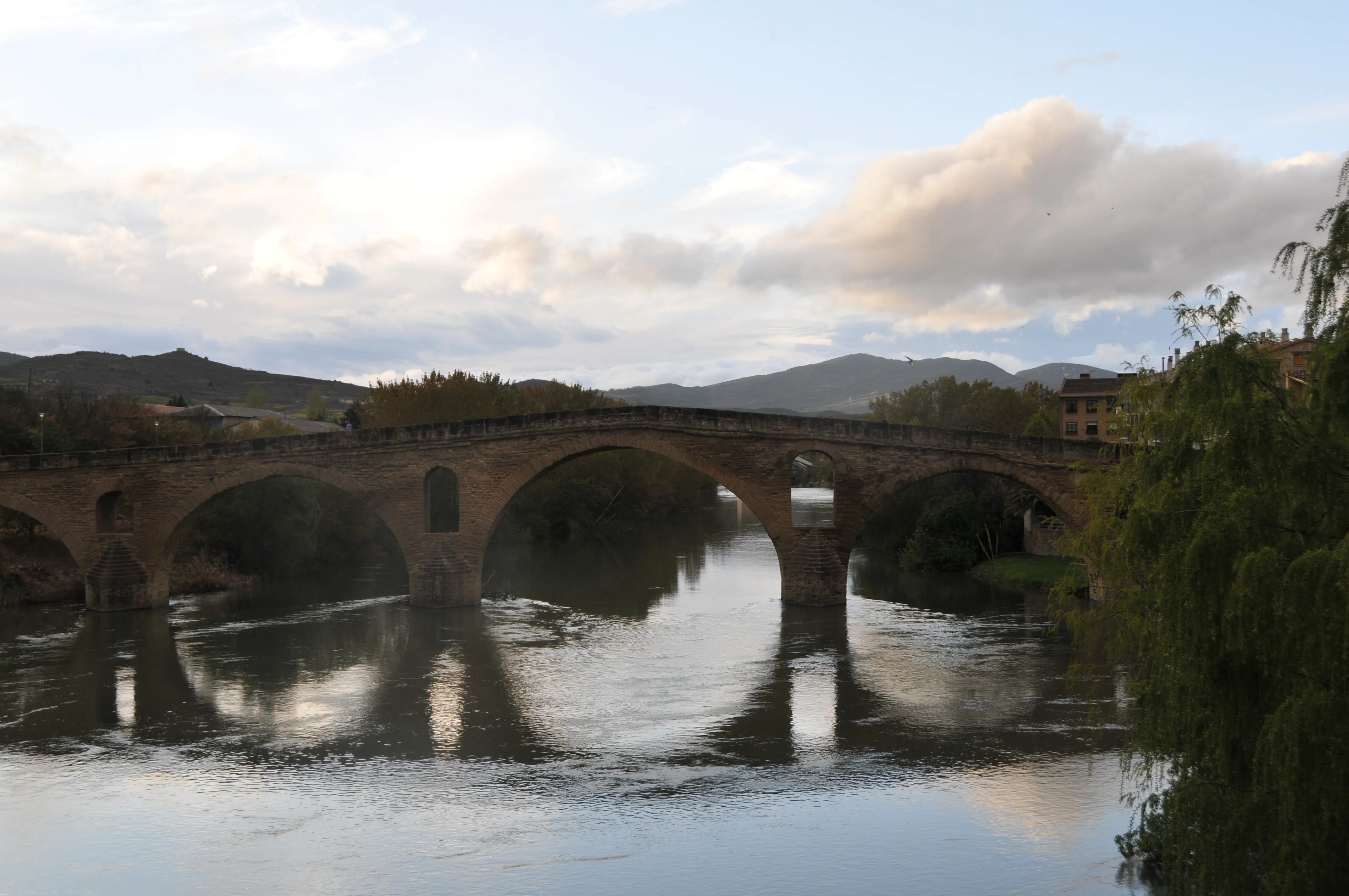
Stage 5: Bridge of Queen to Estella
Your trip with Ourway
Everything you need for your Camino
No hassle. Your perfect route, from start to finish.
Accommodation
Selected hotels and hostels at every stage
Luggage transfer
Your backpack travels from stage to stage
Camino Guide
Detailed map with directions and services
24h Support
Team available for any unforeseen event
Pilgrim credential
Official documentation included
No commitment
Free personalized consultation
Stages
Stages of Road of the Blendios
Herrera de Pisuerga → Santa María de Mave
Stage description not available.
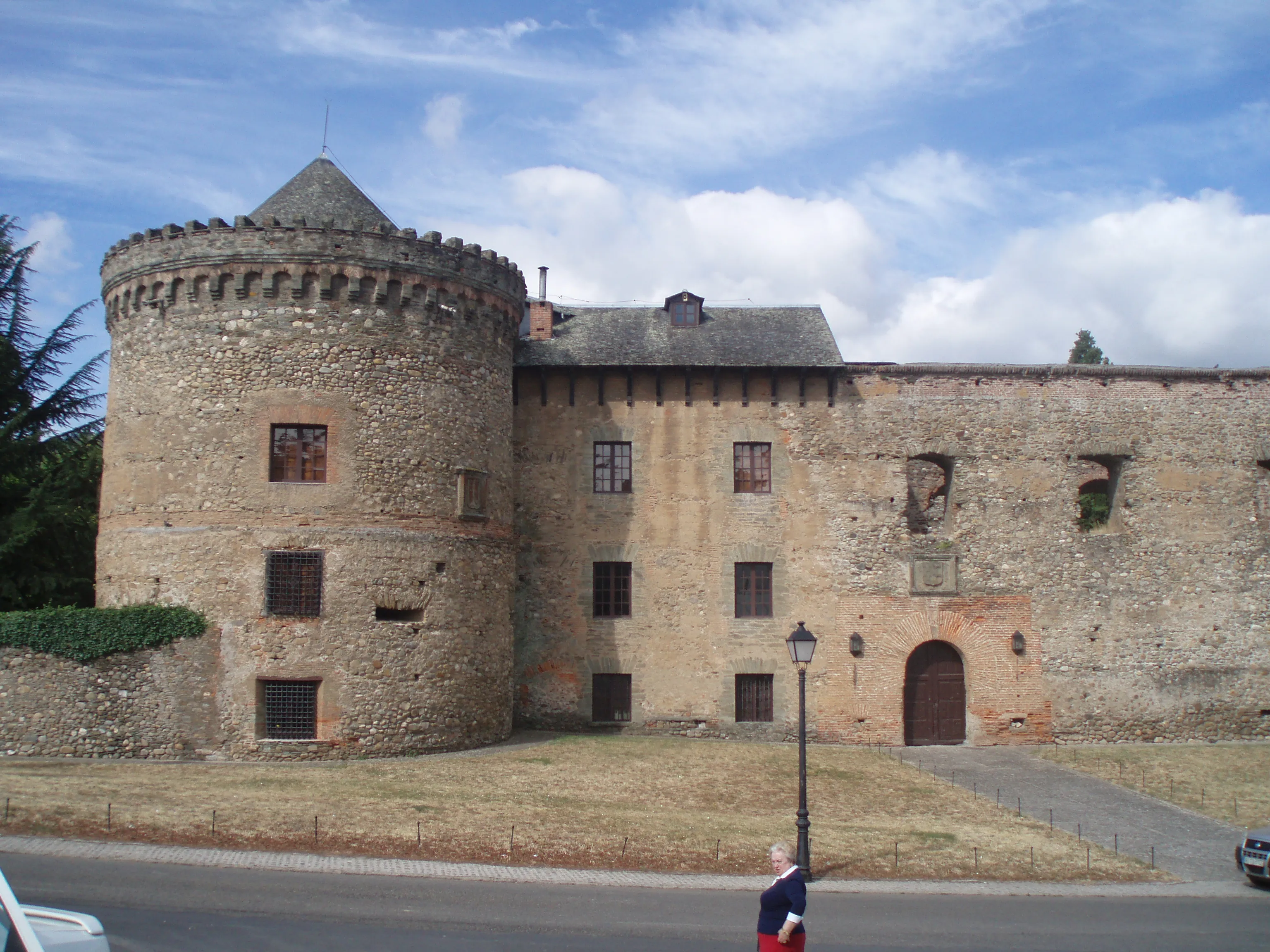
Santa María de Mave → Aguilar de Campoo
This is a short and gentle phase that enters the heart of the Palatine Mountains. It's an enjoyable walk that connects two of the region's major Romanesque landmarks. The path runs through a river val...
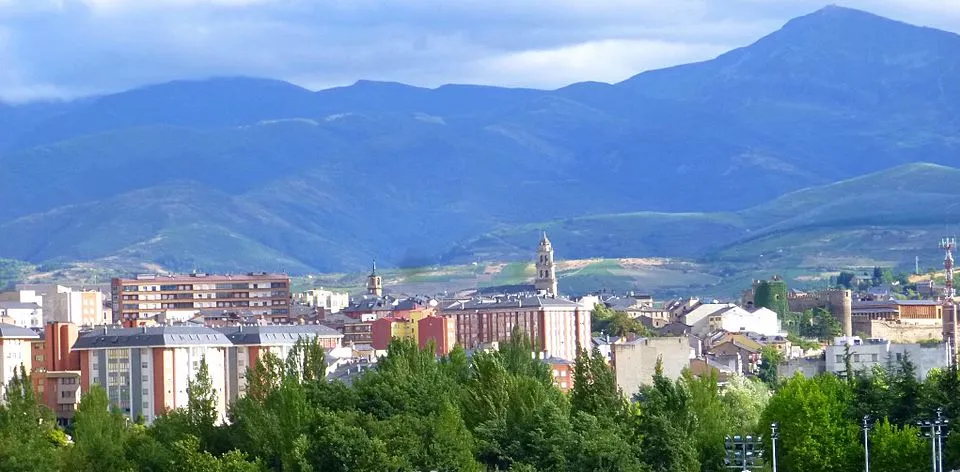
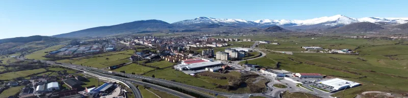
Aguilar de Campoo → Reinosa
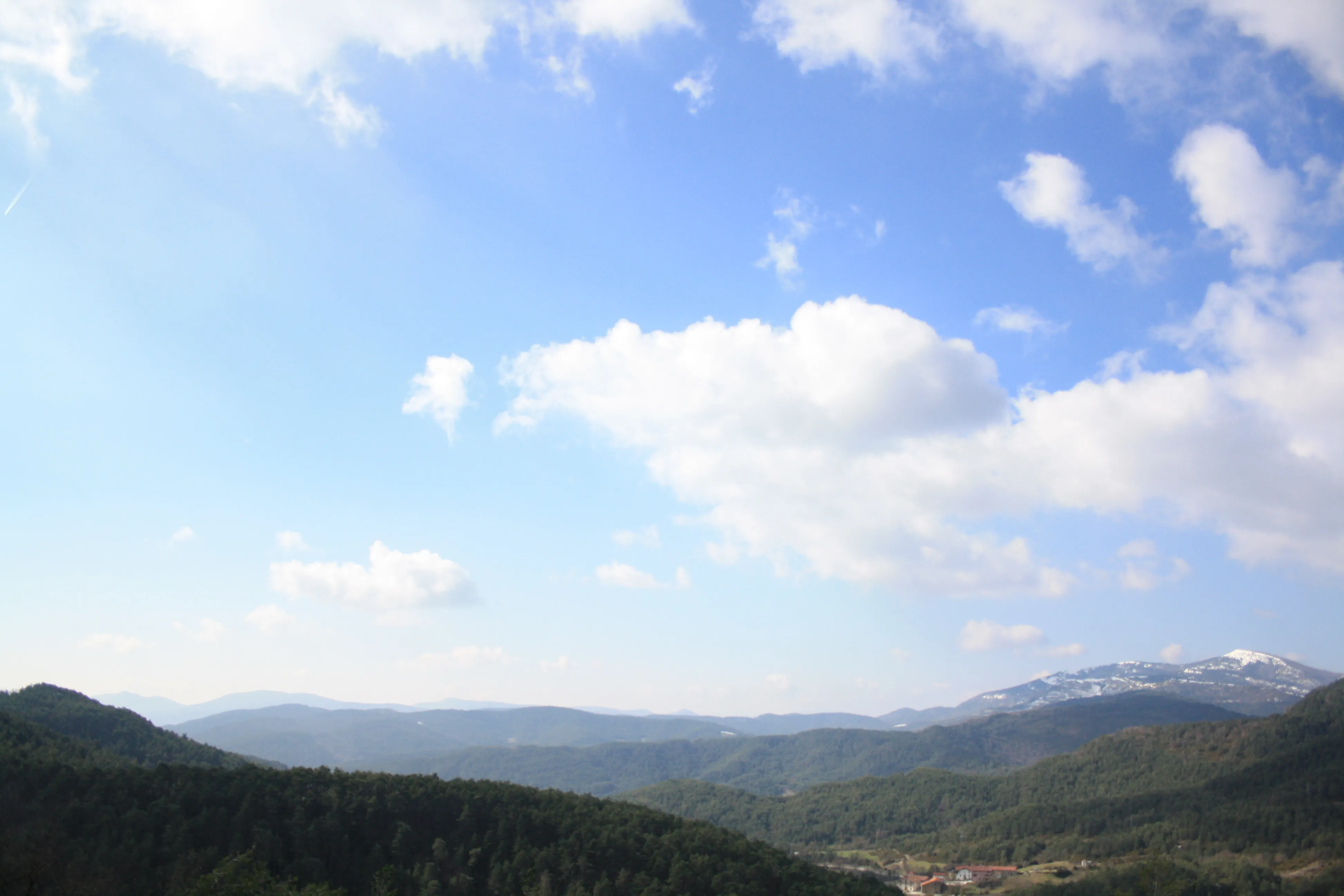
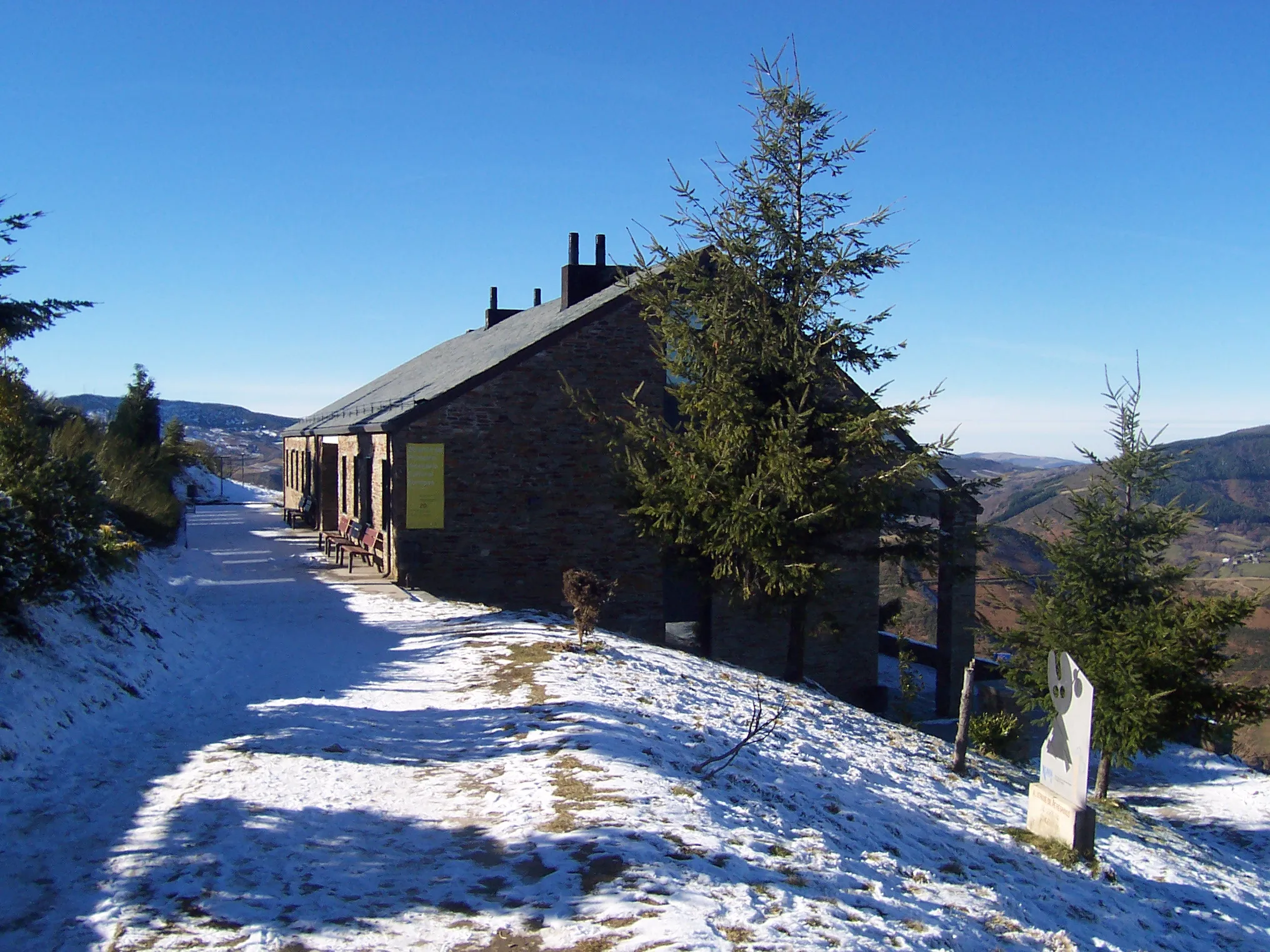
This stage marks the passage from Palentine Mountain to Cantabria. It is a mountainous journey, long and demanding, that ascends progressively until exceeding 1,000 meters of altitude. The path traver...
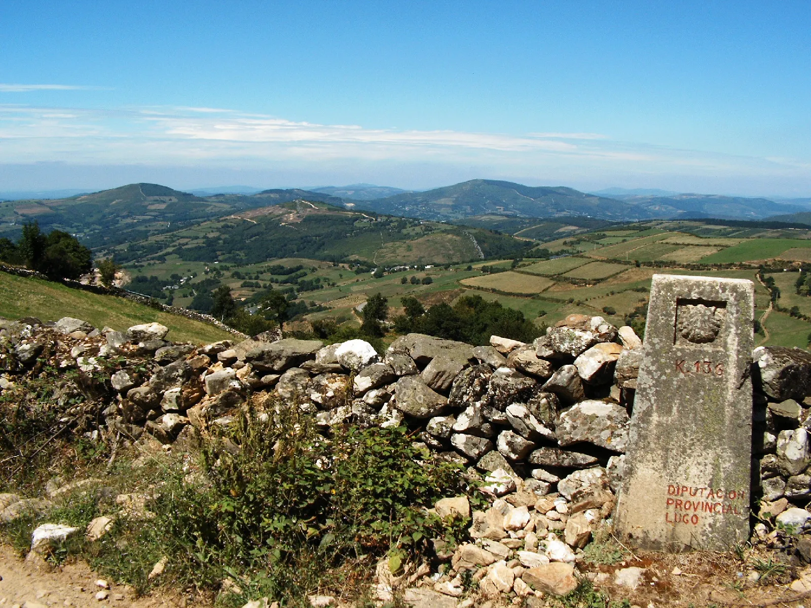
Reinosa → Bárcena de Pie de Concha
This stage is a long and spectacular descent from the Cantabrian Mountains to the low valleys. The road follows for the most part the course of the River Besaya, passing through a landscape of great b...
Bárcena de Pie de Concha → Los Corrales de Buelna
This stage continues the descent down the Besaya River valley. The landscape is becoming less mountainous and more populated and industrial as it approaches the coast. It's a transitional day, combini...
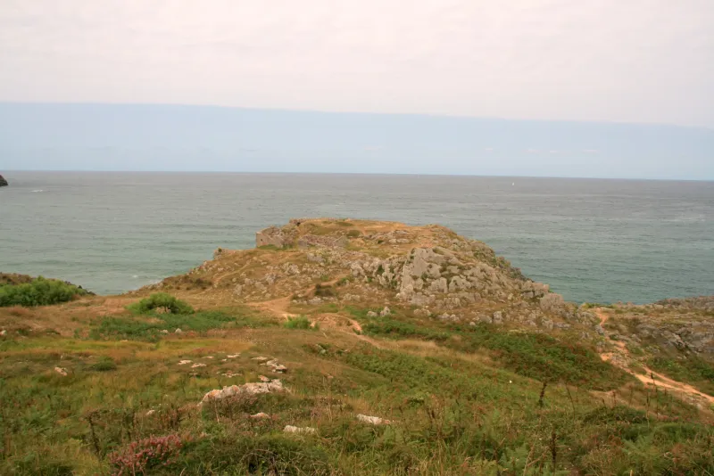
Los Corrales de Buelna → Suances
The last stage of the Calzada de los Blendios leads the pilgrim to the Cantabrian Sea. The route is a pleasant walk that gently descends into the Besaya valley, leaving behind industrial landscapes to...
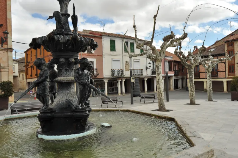
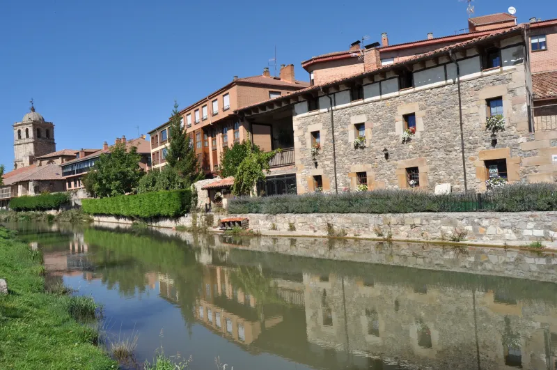
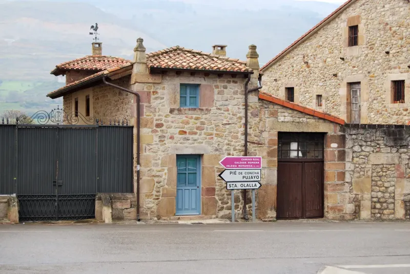
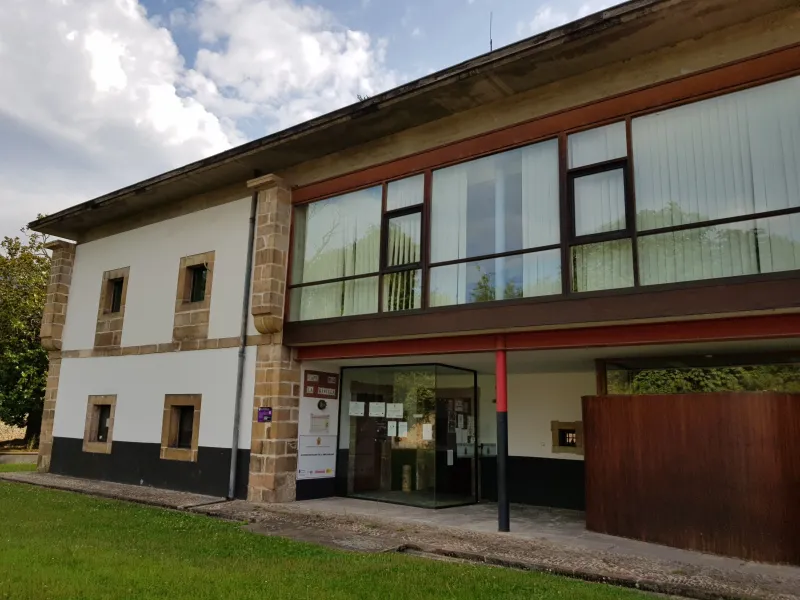
Towns
Featured Towns of Road of the Blendios
Explore the key towns and cities of this route.
History
Millenary History of the Camino de Santiago: Origins and Evolution Road of the Blendios
Discover the origins and evolution of Road of the Blendios
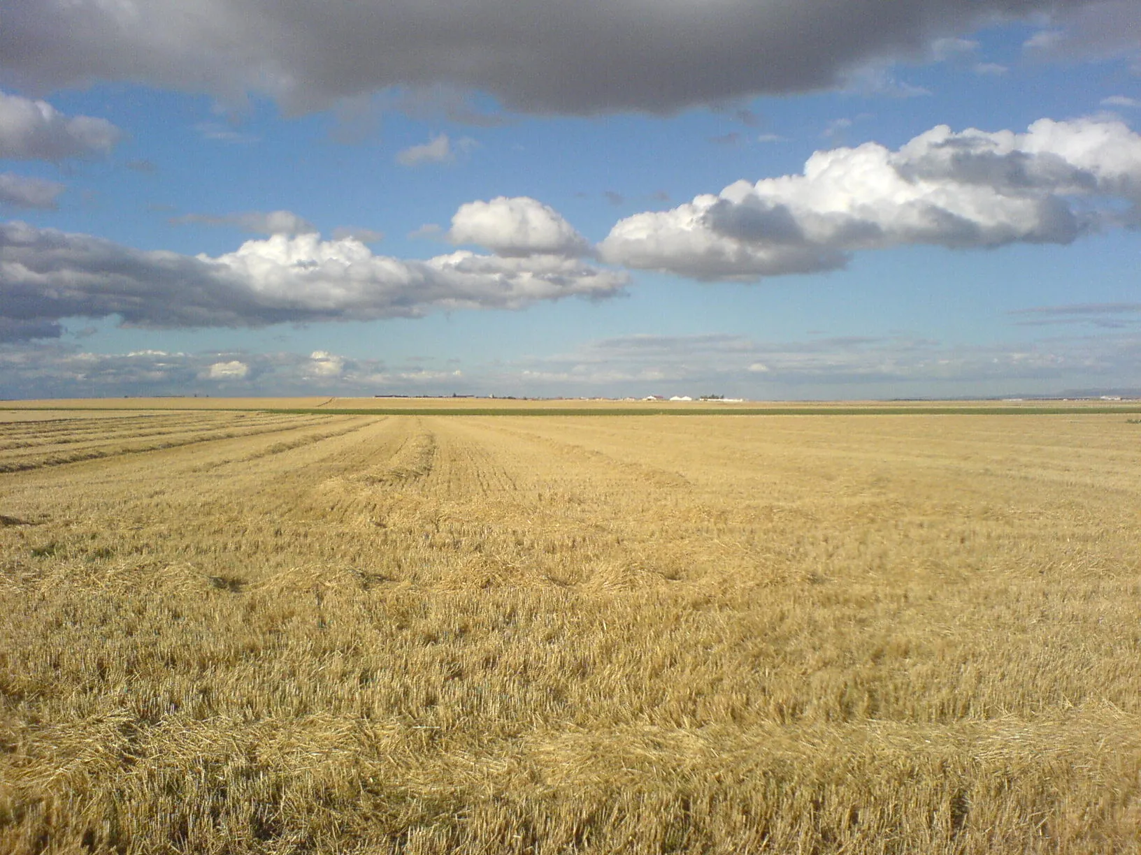
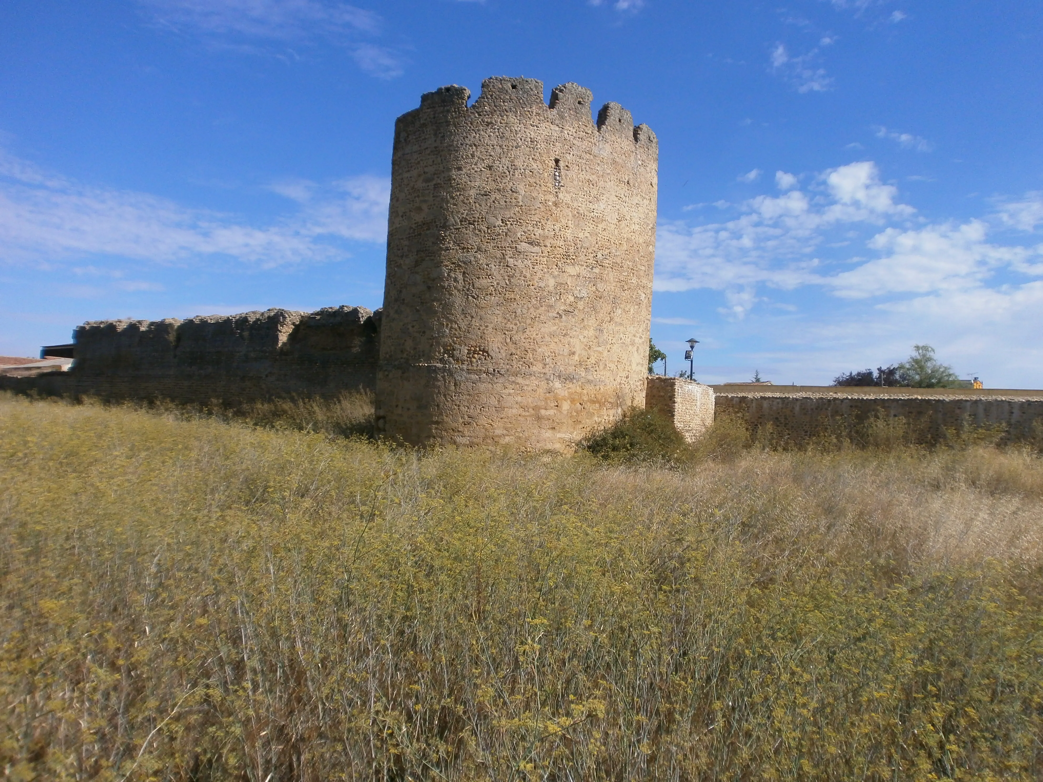
The origin of this itinerary is eminently military and administrative. Following the Cantabrian Wars (29-19 BC), the Roman Empire needed to control the recently conquered territory and exploit its resources. To achieve this, it built a road that connected the important camp of Legio IV Macedonica in Pisoraca (the current Herrera de Pisuerga, in Palencia) with the Portus Blendium, a port near the current Suances, in Cantabria. This route allowed for quick troop movement to an already conflictive zone and the export of products, such as grain from the tableland, to the sea.
With the fall of the Roman Empire, the road did not lose its utility. During the High Middle Ages, in the context of the Reconquista, this route became a vital corridor that connected the emerging Kingdom of Castile with the coast, an area of great strategic importance and with numerous monasteries. The path facilitated the movement of people, goods, and ideas, and travelers including soldiers, merchants, monks, and pilgrims.
In the context of the Jacobean pilgrimages, the Way of the Blendios functioned as a major connecting route, a transverse route that united the two great axes of pilgrimage in the north. On one side, pilgrims who followed the Coastal Route (or Northern Route) could take this road south to link with the French Route at points such as Carrión de los Condes or Sahagún, perhaps to visit their important monasteries or simply to vary their route. On the other hand, pilgrims already in the French Route could deviate northward along this same path to visit coastal sanctuaries or embark on other destinations.
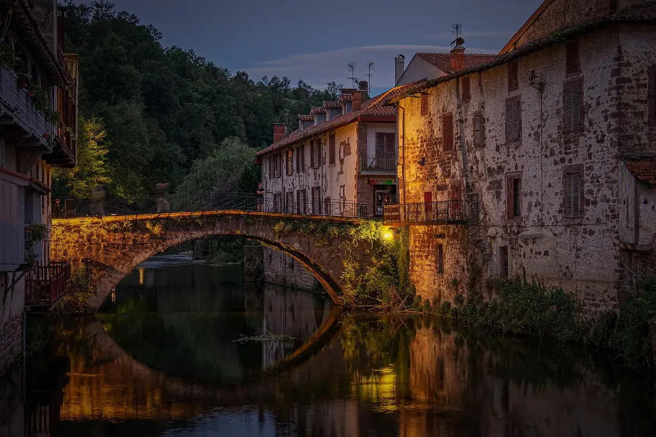
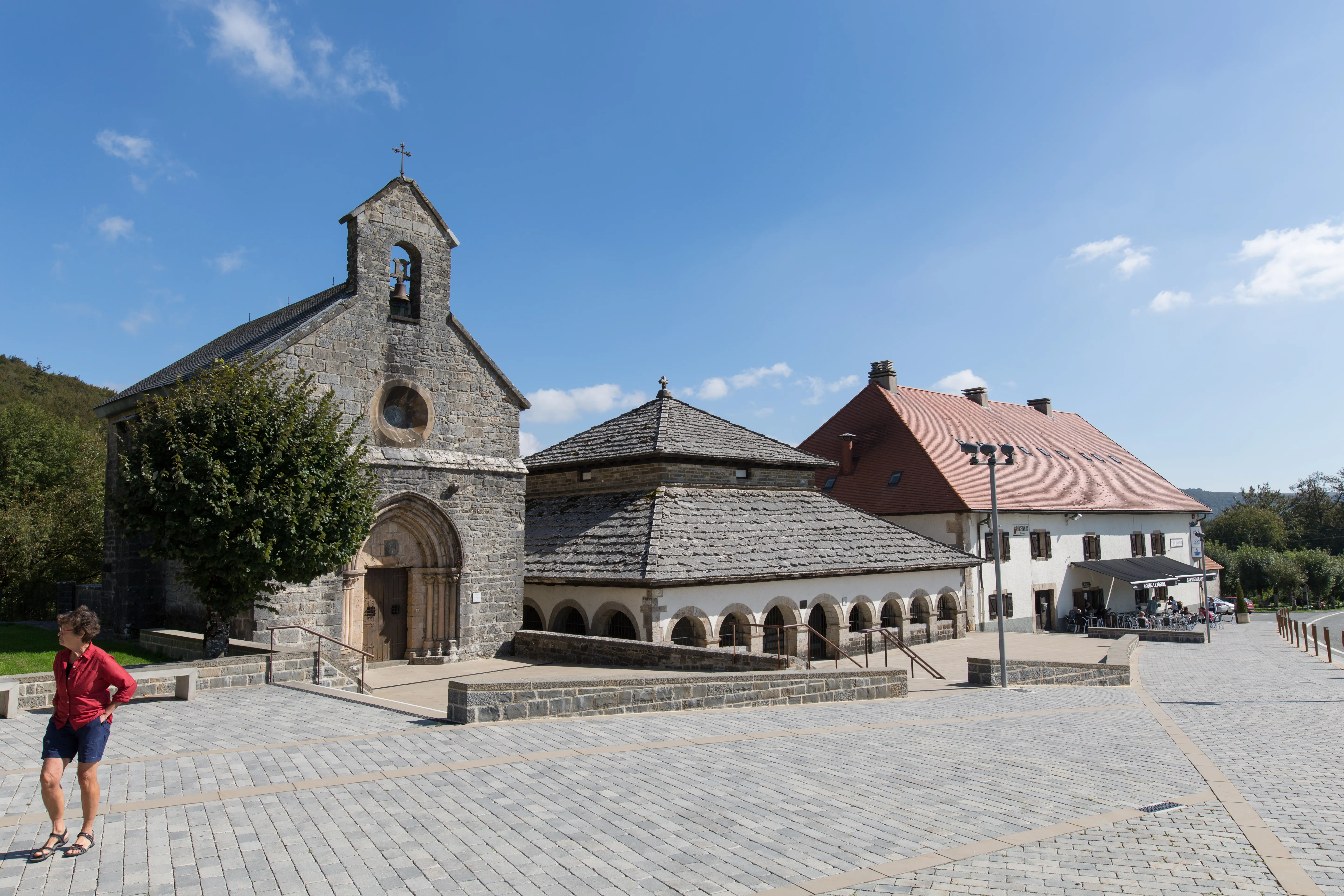
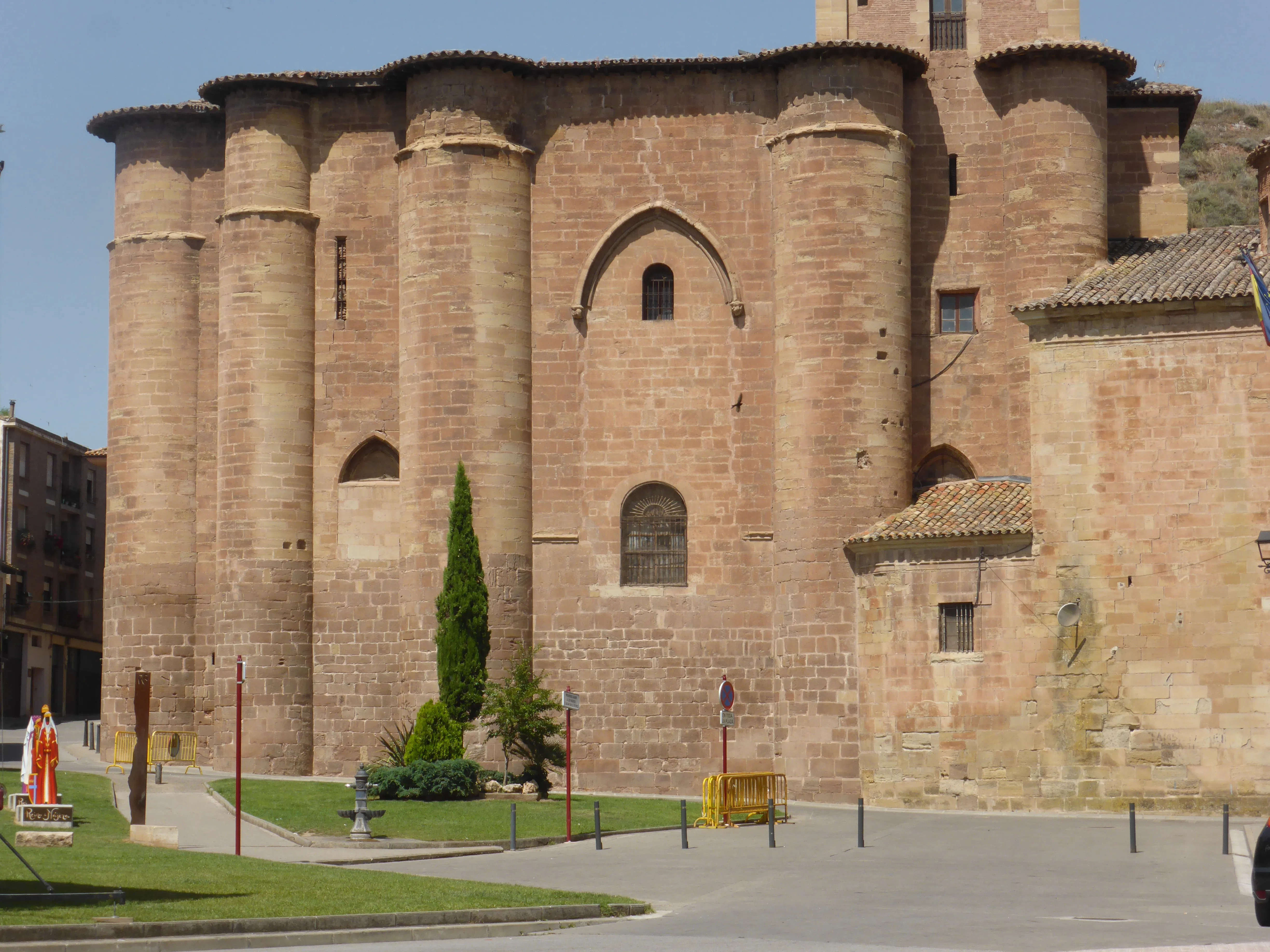
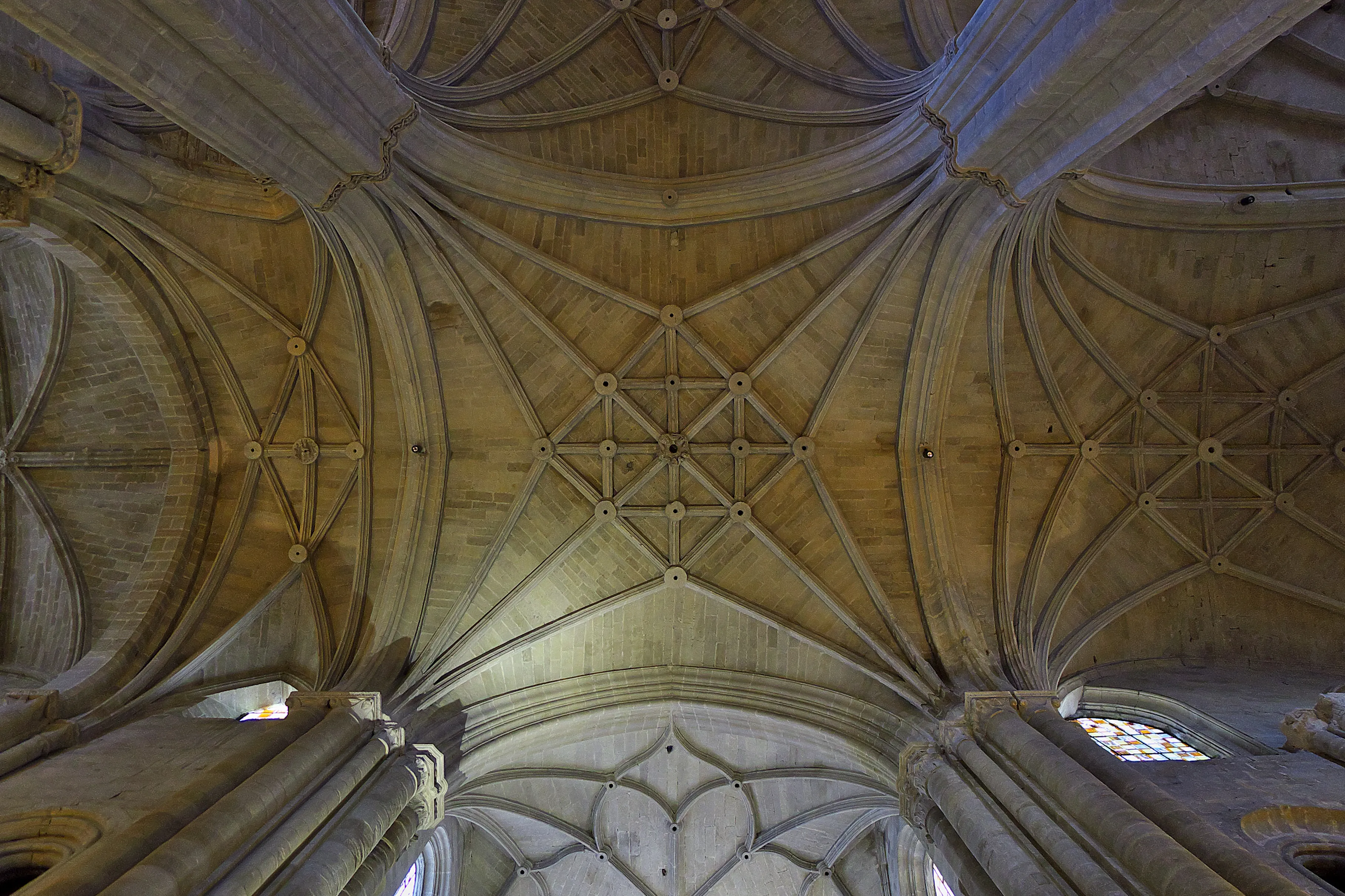
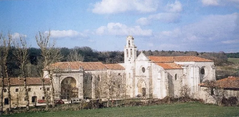
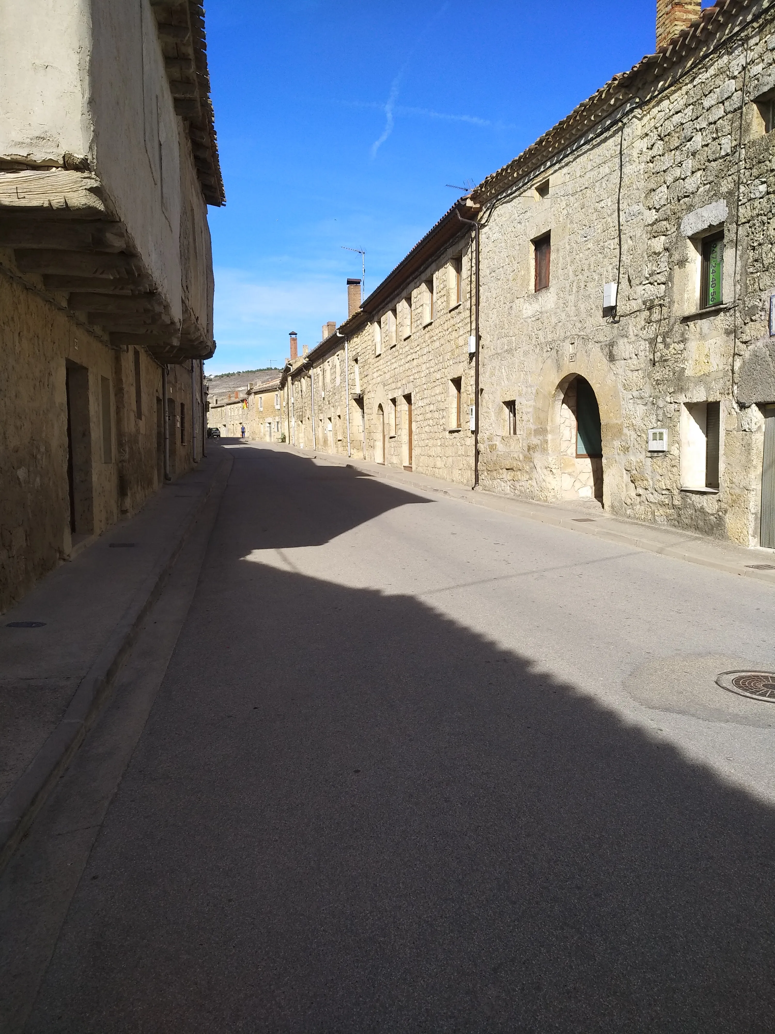
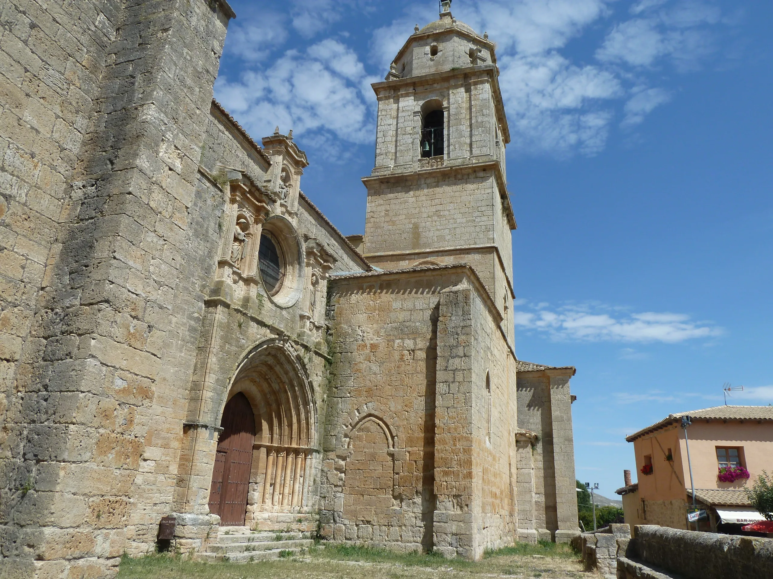
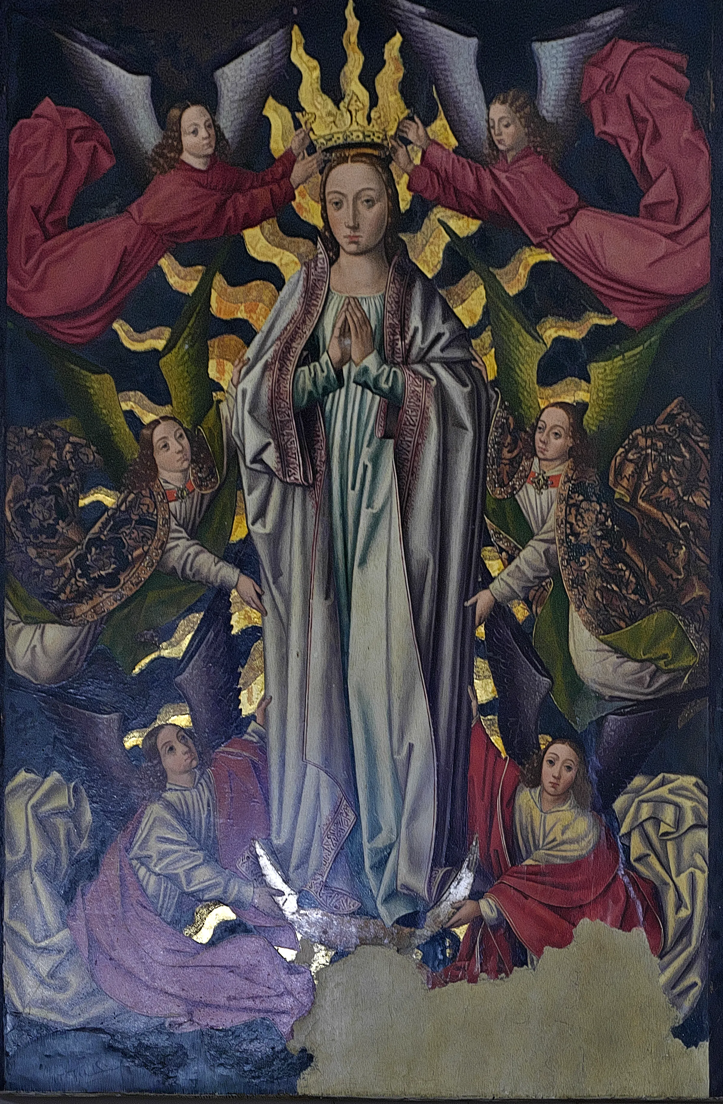
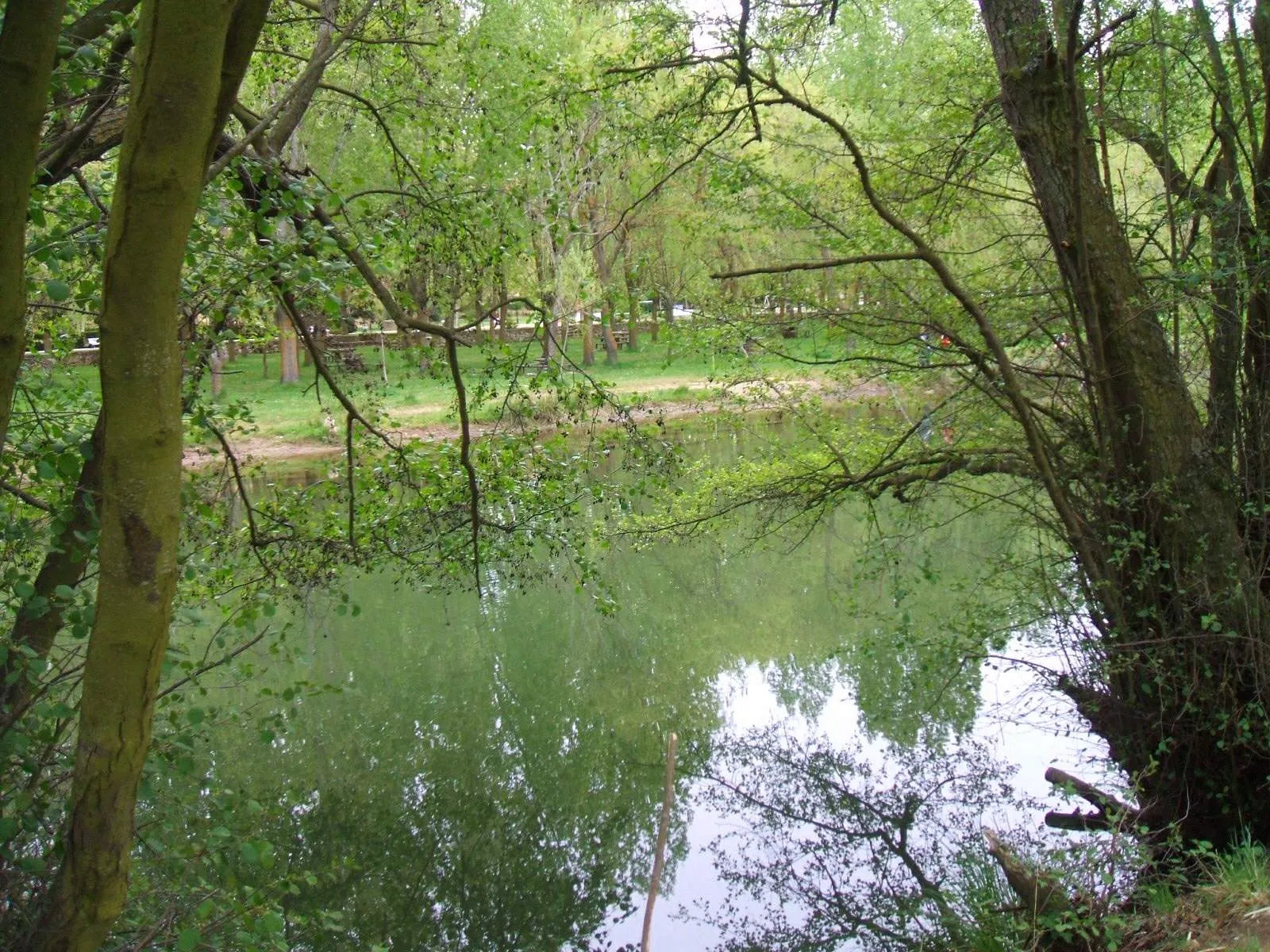
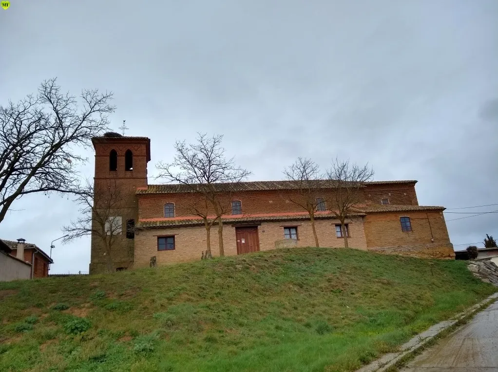
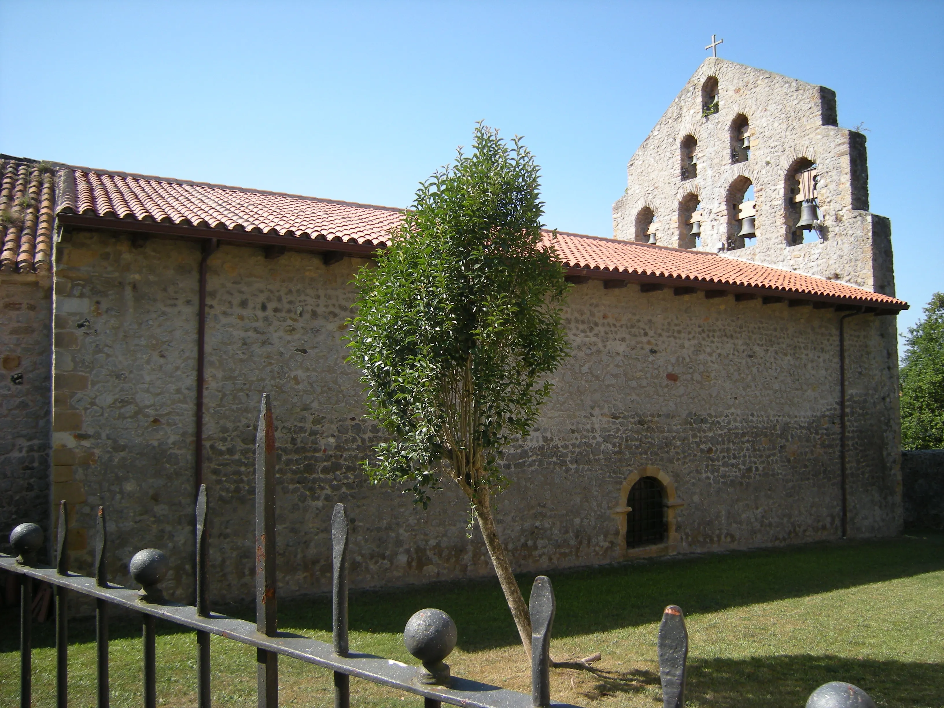
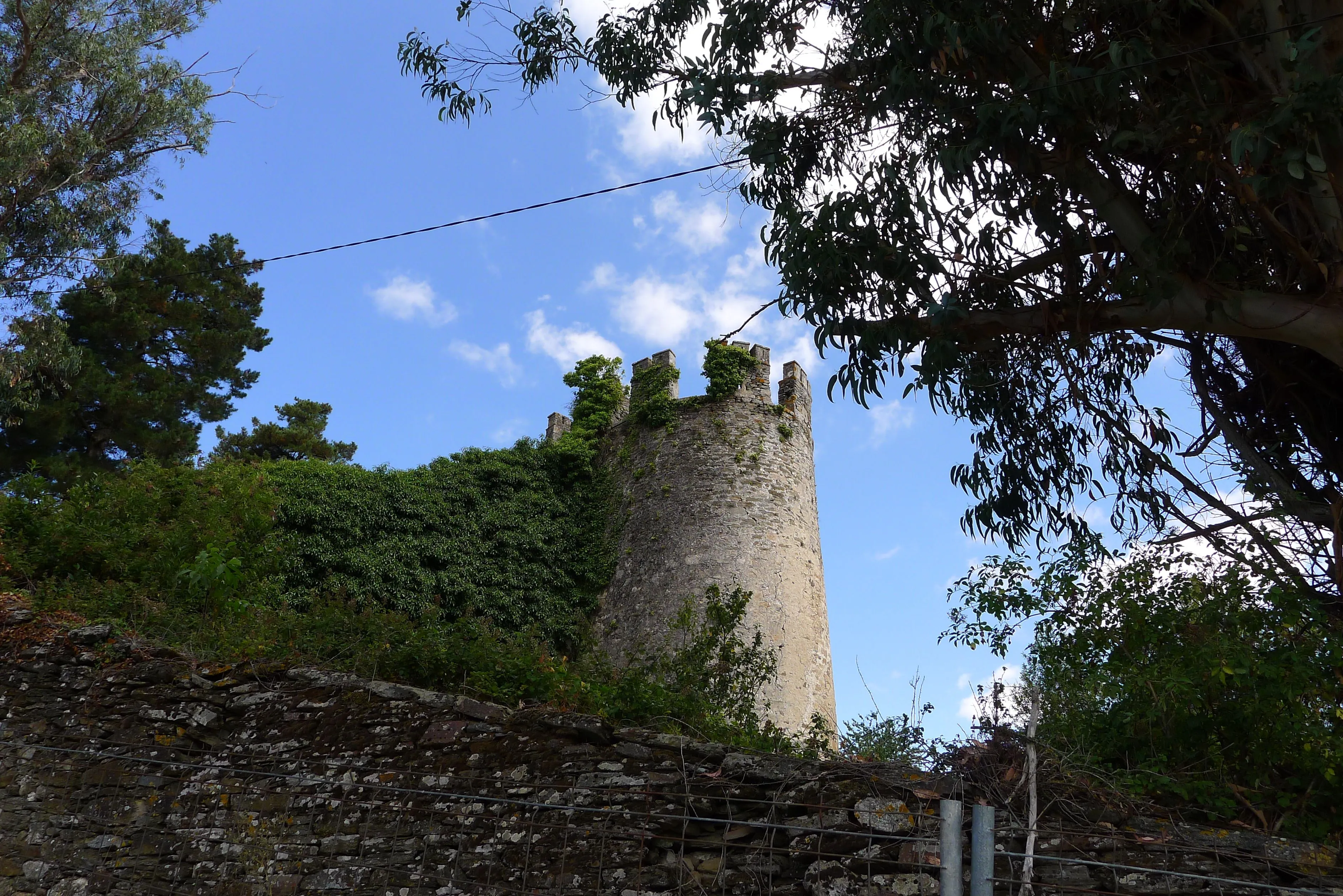
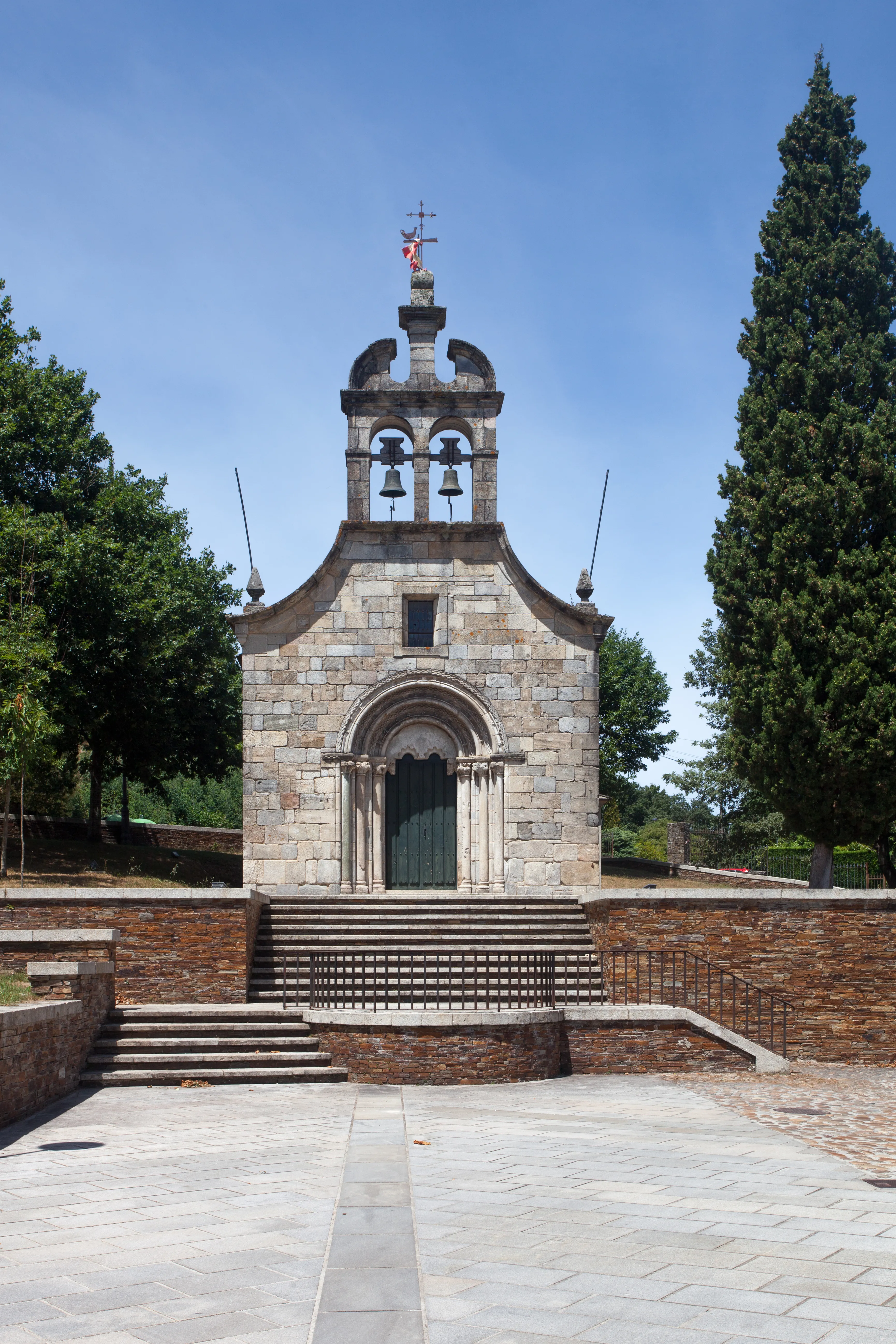
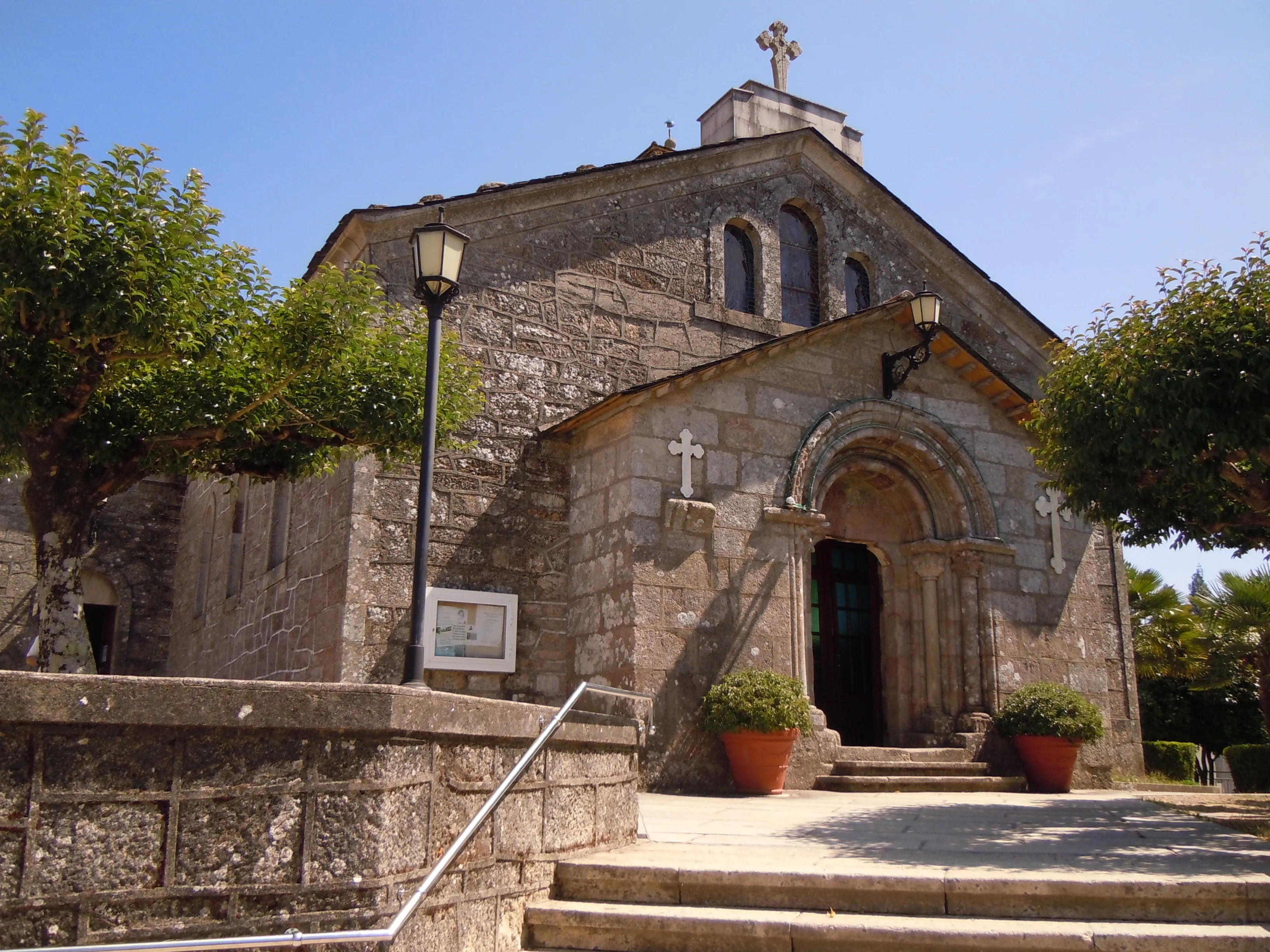
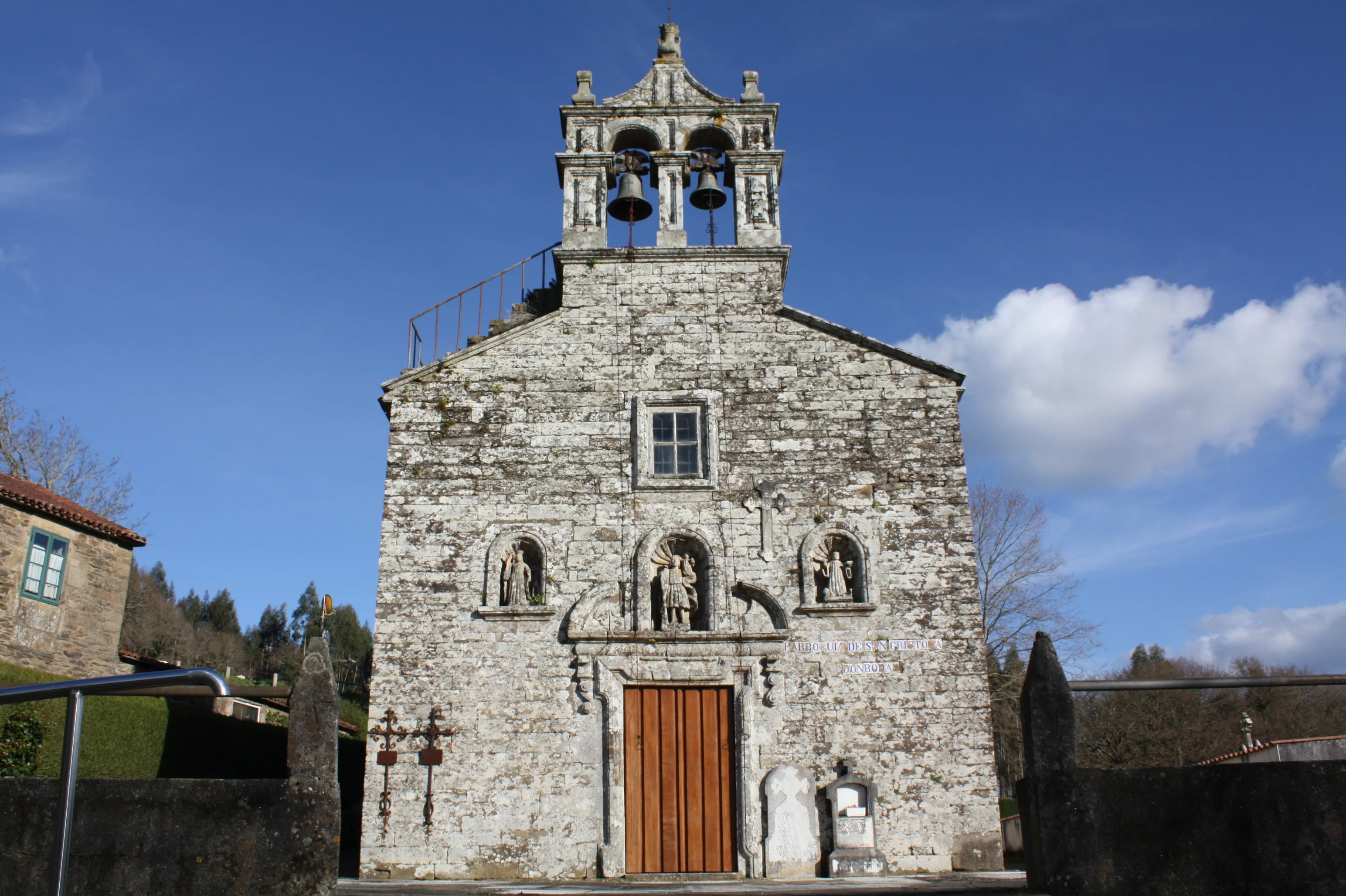
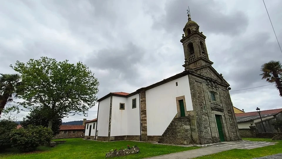
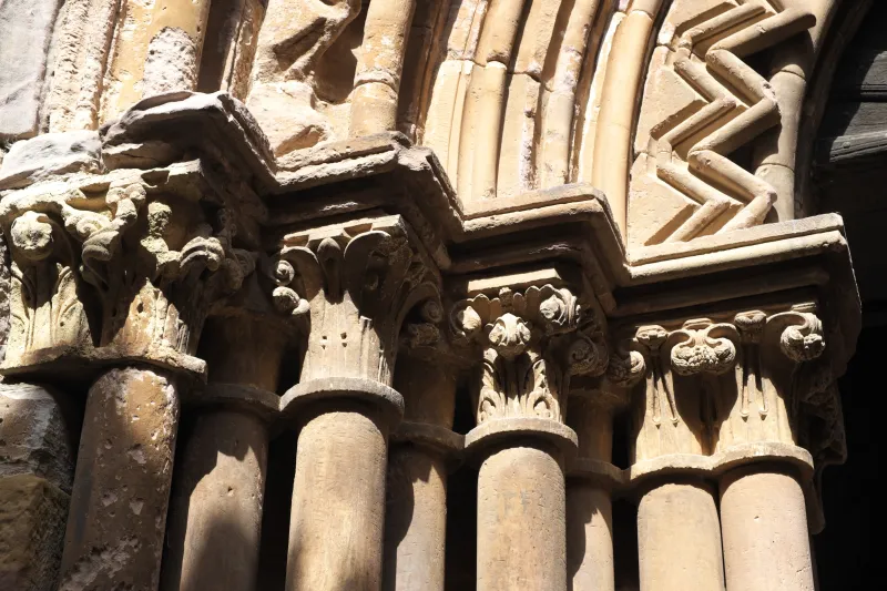
The route is marked by a rich historical and artistic heritage. Starting from Herrera de Pisuerga, the road enters the Palentina Mountains, an area that is an authentic treasure of Romanesque art. A fundamental milestone is the Monastery of Santa María de Mave, a magnificent example of the architecture of the time that undoubtedly offered refuge to medieval travelers. The route continues its ascent through the Cantabrian valleys, a beautiful natural stretch, before finally descending to the sea.
The modern revival of the Way of the Blendios as a hiking and pilgrimage route is an effort to highlight this extraordinary historical legacy. Although it is not a Santiago de Compostela route in the strict sense, its route was undoubtedly used by medieval pilgrims and offers the contemporary traveler an unique experience: the opportunity to walk through a culturally shaped landscape that has been molded over centuries, following the footsteps of ancient Cantabrians, Roman legionaries, medieval monks, and all those who traversed this ancient path that unites land and sea.
We answer your questions
Frequently Asked Questions about Road of the Blendios
How long is the Via dei Cimbri and how many days are recommended to walk it?
The Via dei Cimbri has a total length of 131.3 km. It is suggested to dedicate approximately 6 days to this itinerary, allowing for adequate enjoyment of the scenery and history without rushing.
What is the difficulty level of the Via dei Blendii?
The Via dei Blendii is considered a moderate-difficulty route. It requires a moderate level of fitness and endurance due to topographical variations including hills, though it is not an extremely strenuous trek.
Which is the best time of year to undertake the Way of the Blendios?
The ideal period for this journey is during mid-season, specifically from April to June or September to October. During these months, one can enjoy pleasant weather with temperatures ranging between 10-25°C and a moderate number of pilgrims.
How much does it cost to do the Way of the Blendios with Ourway Travel?
Prices for the Way of the Blendios vary depending on the dates chosen and type of accommodation. At Ourway Travel, we manage all your reservations to ensure a hassle-free journey from start to finish, offering customized packages.
What does the itinerary for the Via dei Blendii include with Ourway Travel?
Our itinerary for the Via dei Blendii includes accommodation in hostels or rural houses according to your preferences, personalized advice and complete management of reservations. Additionally, we provide detailed information about the historical and cultural route.
Why choose the Via de los Blendios instead of the Camino Francés?
The Via de los Blendios offers a unique experience that highlights its Roman and medieval history, as well as a natural landscape distinct from that of the Camino Francés. This route is ideal for those seeking to escape the crowds and discover a lesser-known but equally rich in heritage part of the Camino de Santiago.
How does the Calzada de los Blendios compare to the Camino Portugués?
The Calzada de los Blendios and the Camino Portugués are two historical routes offering unique experiences. While the Portuguese Way is known for its coastal beauty, the Calzada de los Blendios traverses mountainous areas rich in Romanesque heritage, making it a perfect alternative for those seeking a more intricate and less crowded itinerary.
How do I get my pilgrim's credential for the Camino de Santiago?
To obtain your pilgrim's credential, you can visit any tourist office or church in Spain before starting your journey. You can also request it through Ourway Travel customer service, who can assist you with completing the process.
Organize Your Camino
Ready for this adventure?
Road of the Blendios