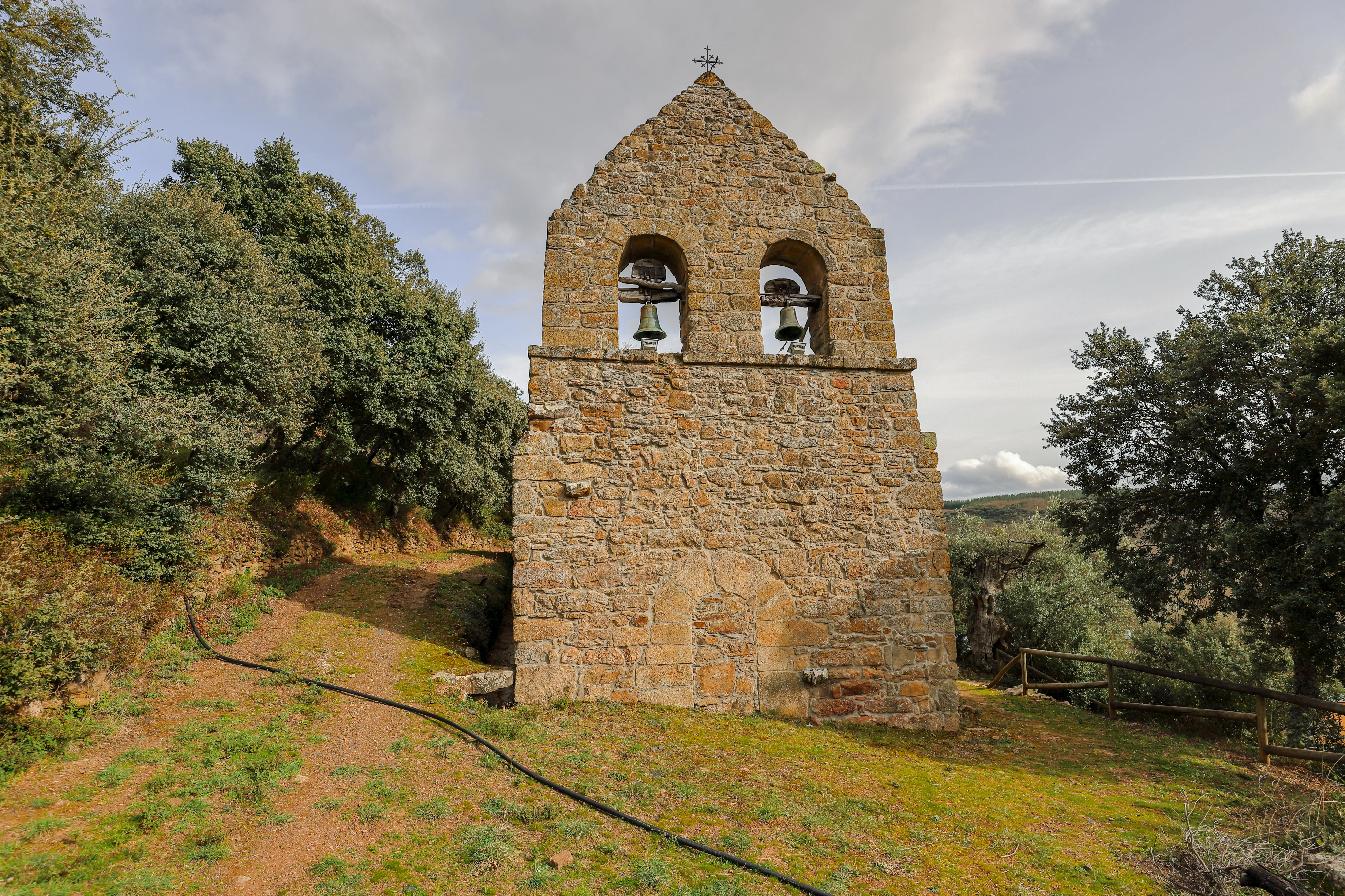
Camino de Santiago
The French Way
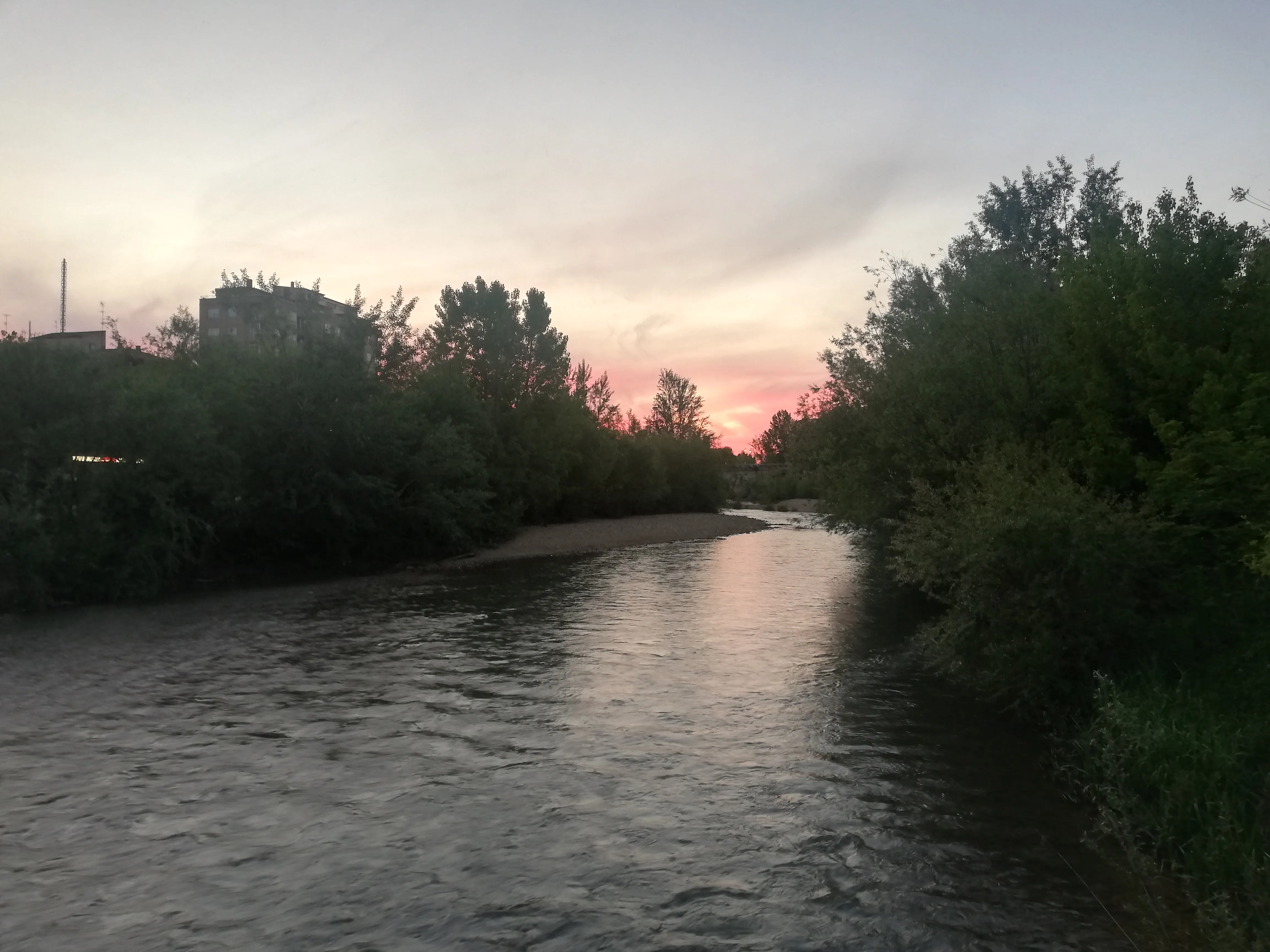
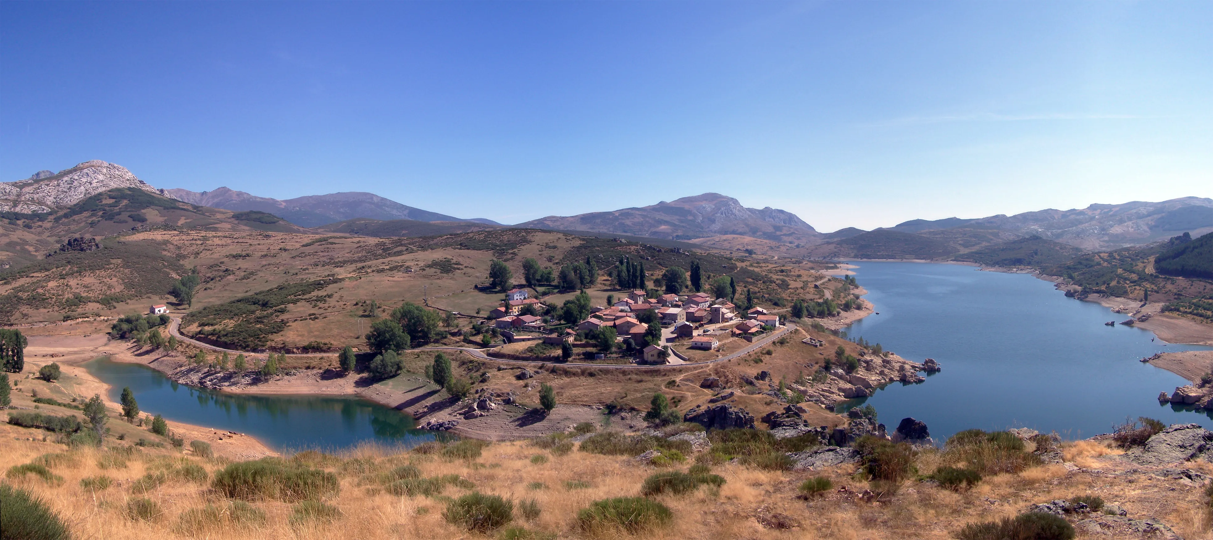
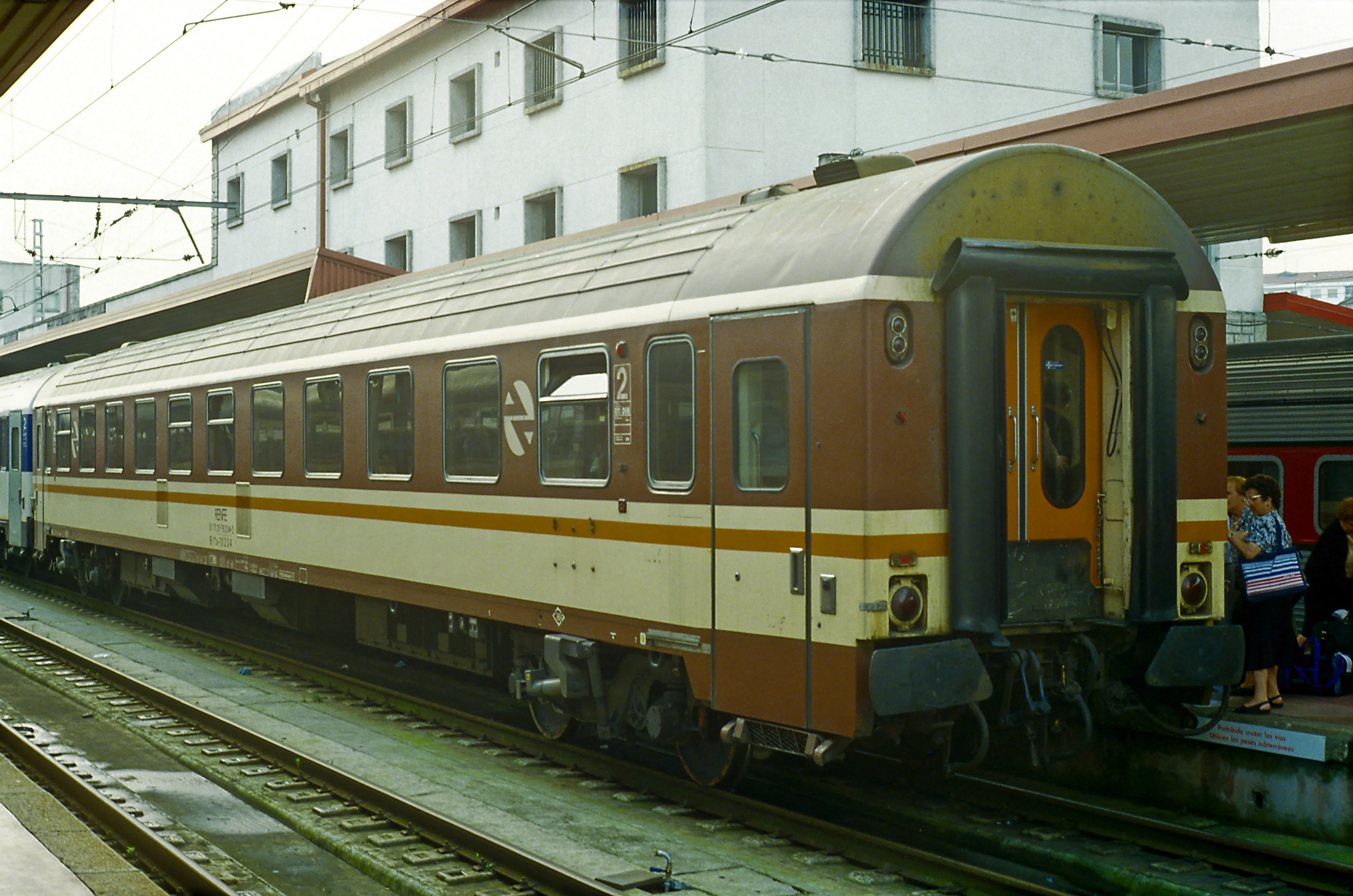
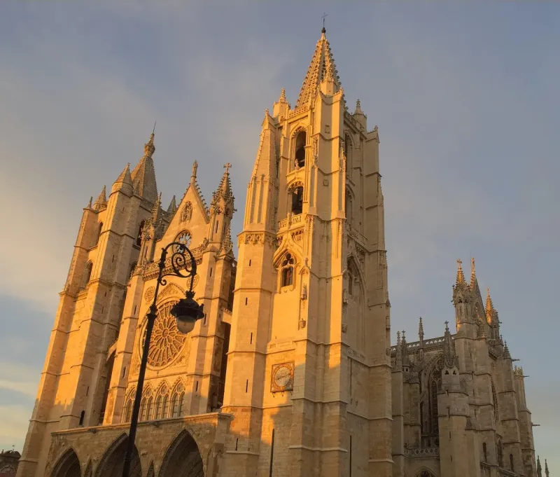
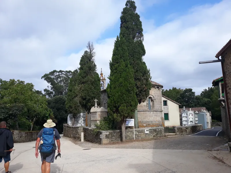
The Camino Francés is the most iconic and popular Jacobean route. Experience an unforgettable 779 km journey filled with history, culture, and unique landscapes from the Pyrenees to Santiago de Compostela.
Organize your The French WayOrigin
Saint-Jean-Pied-de-PortDestination
Santiago de CompostelaDistance
779 km
Days
33
Difficulty
Media
Last updated: 21/05/2024
The Route
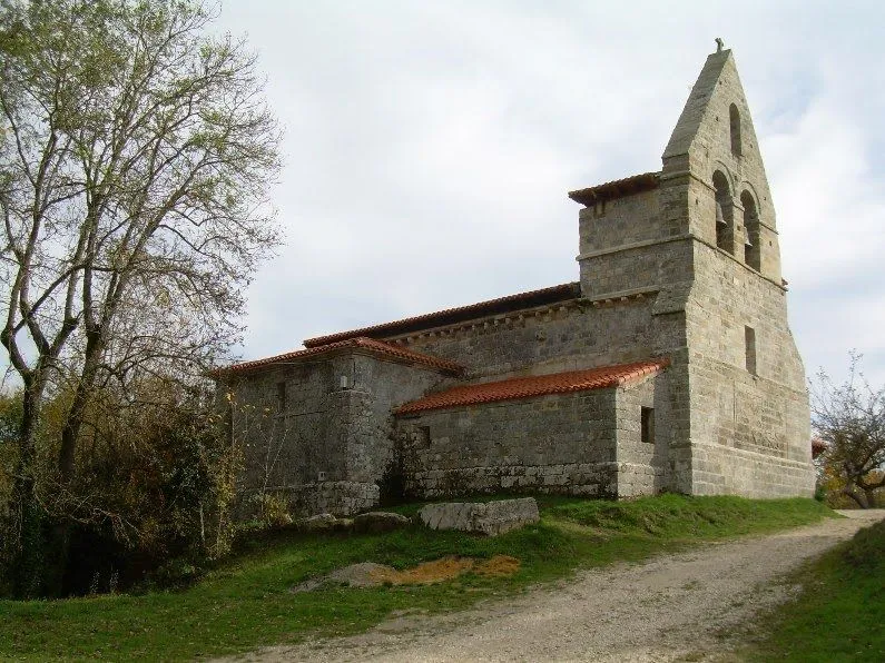
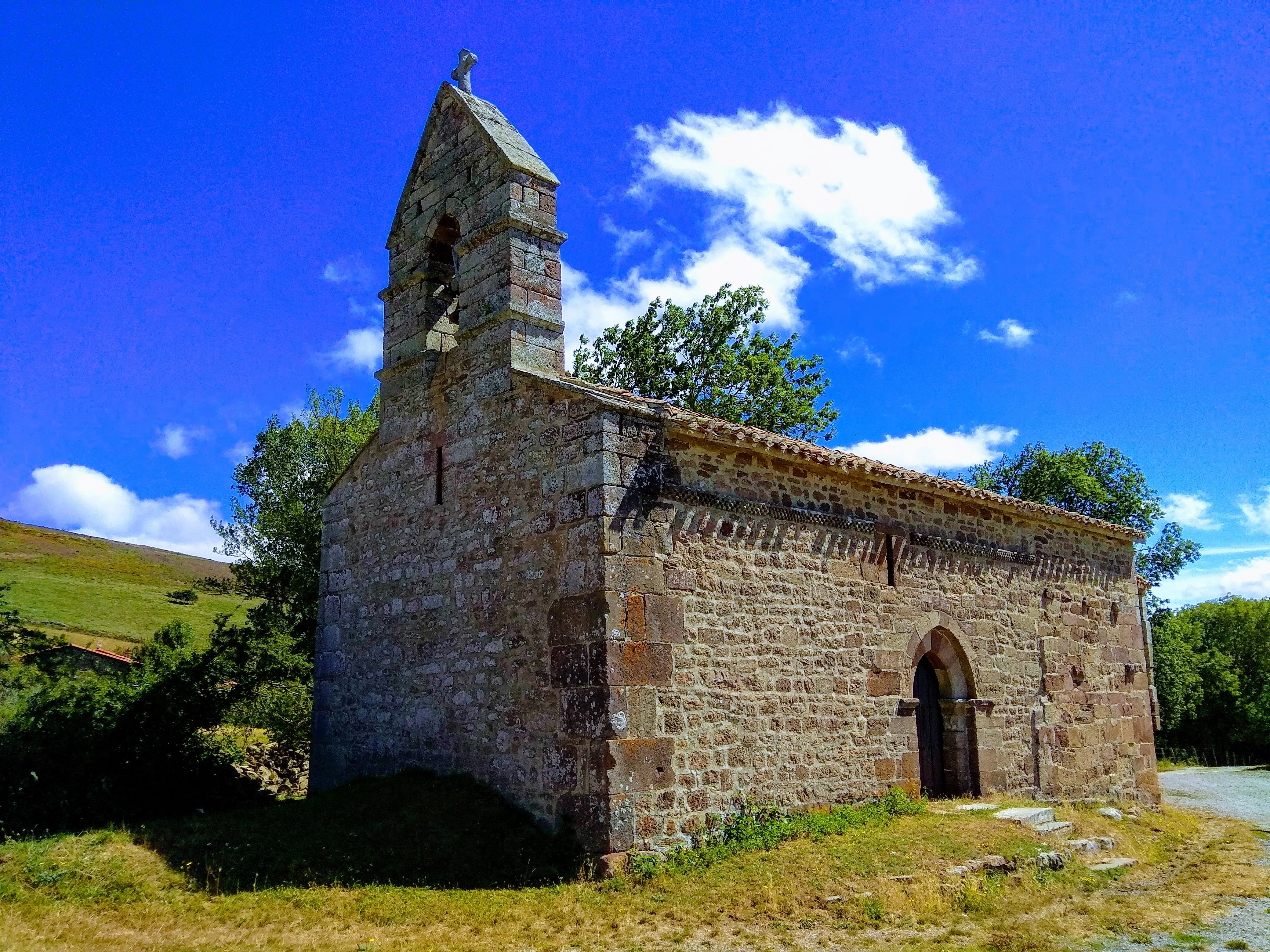
General Description of The French Way
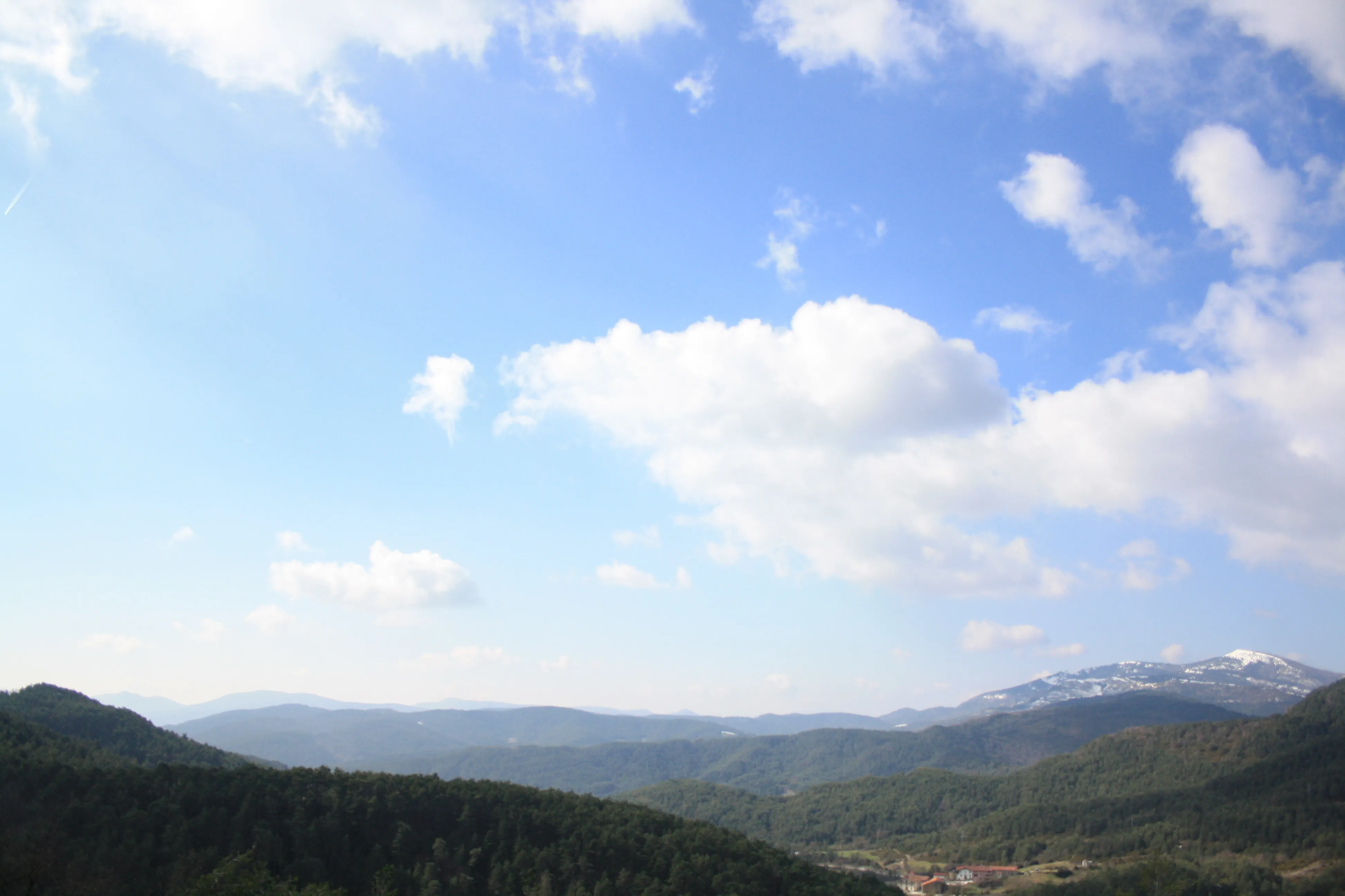
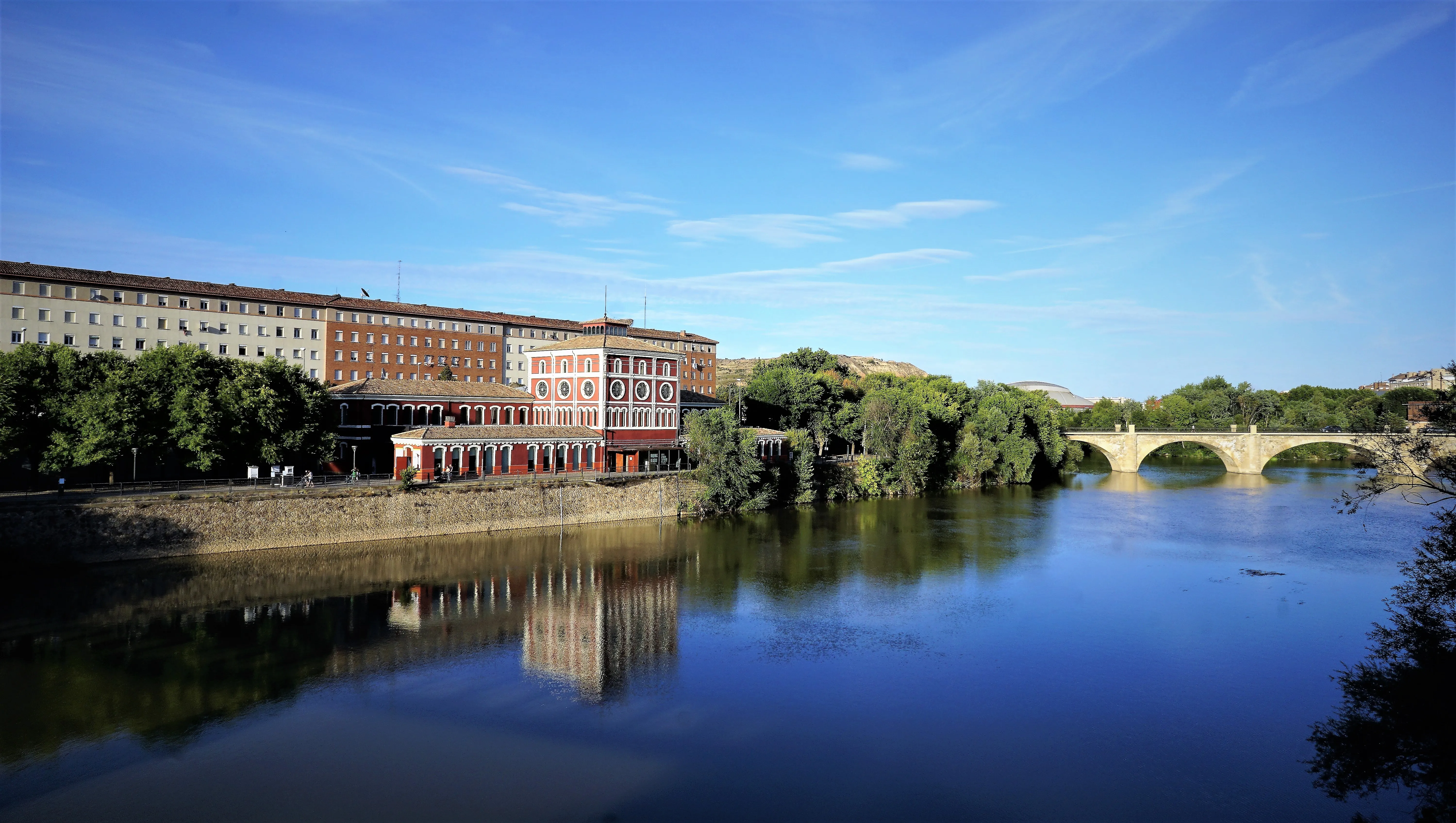
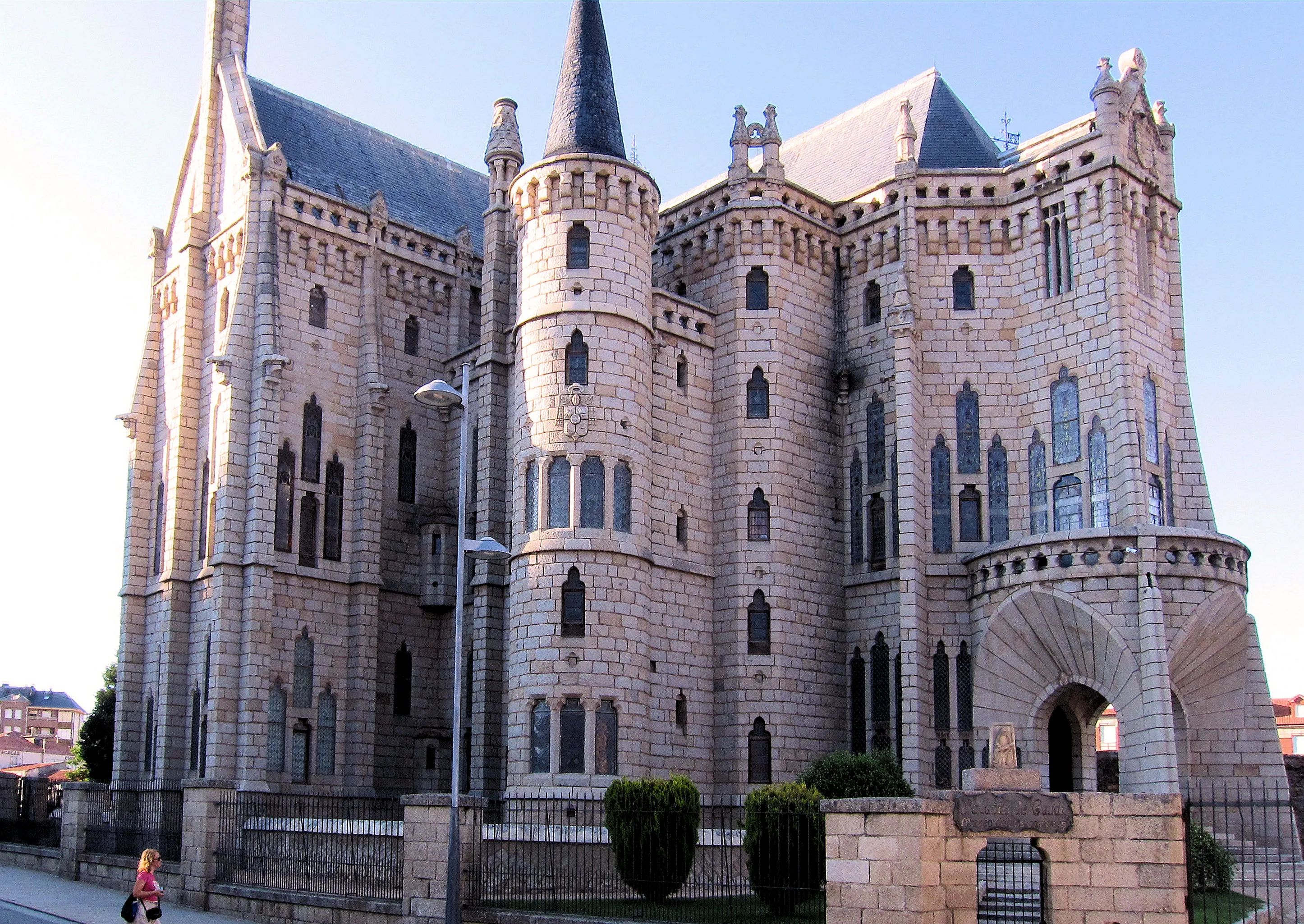
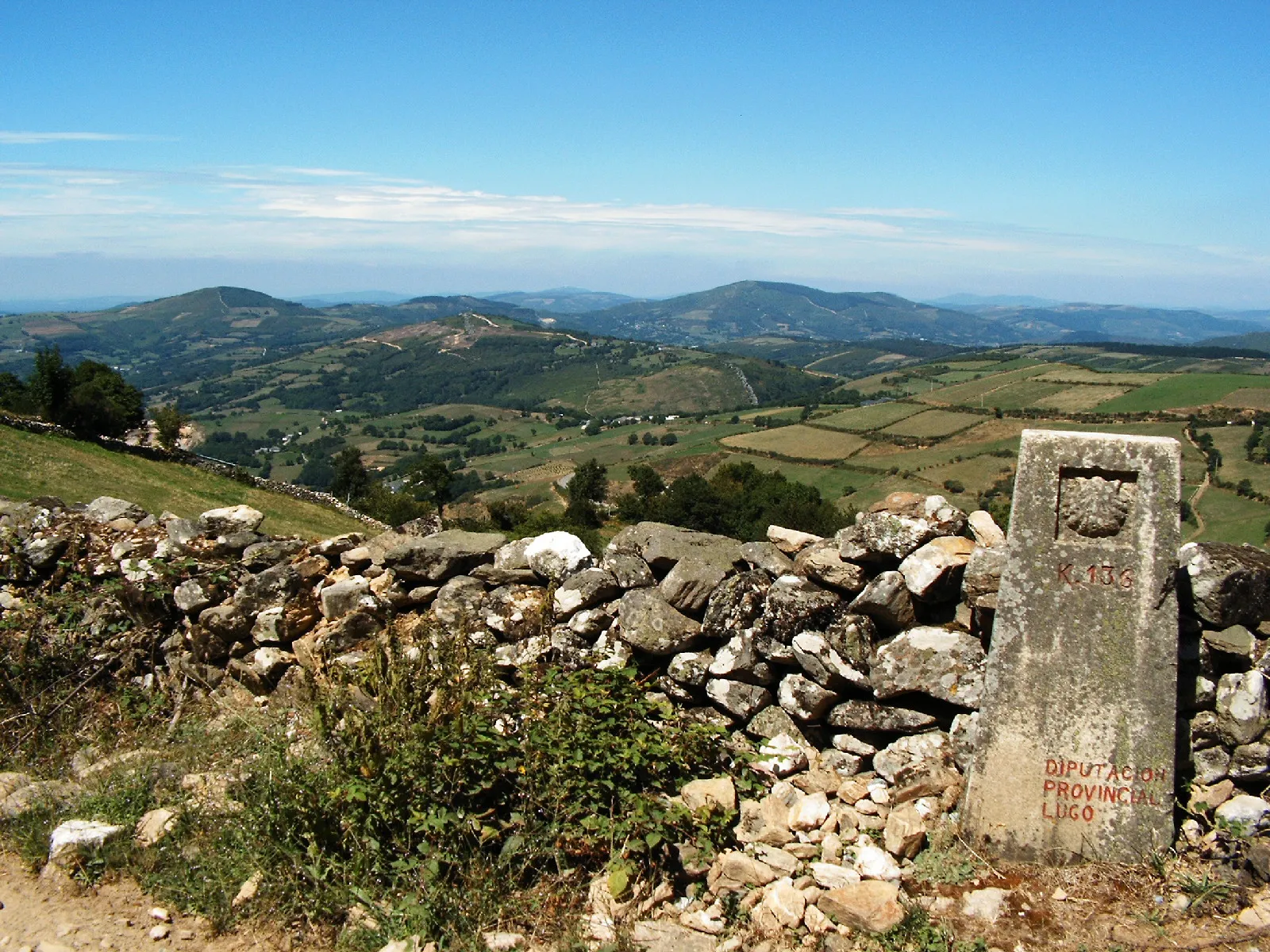
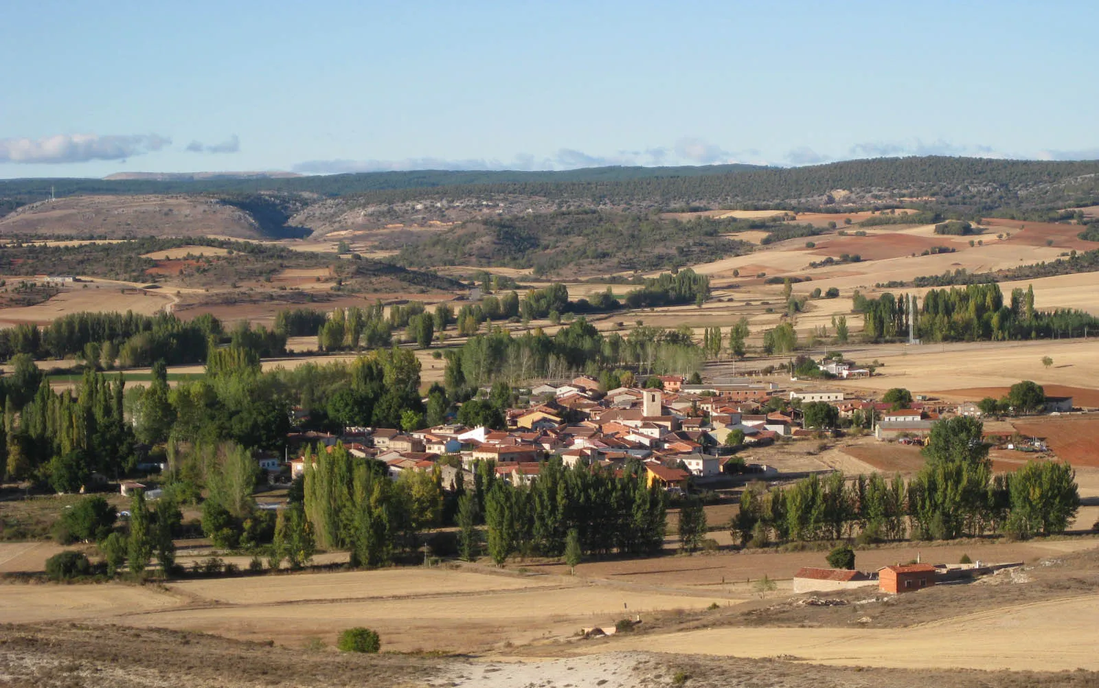
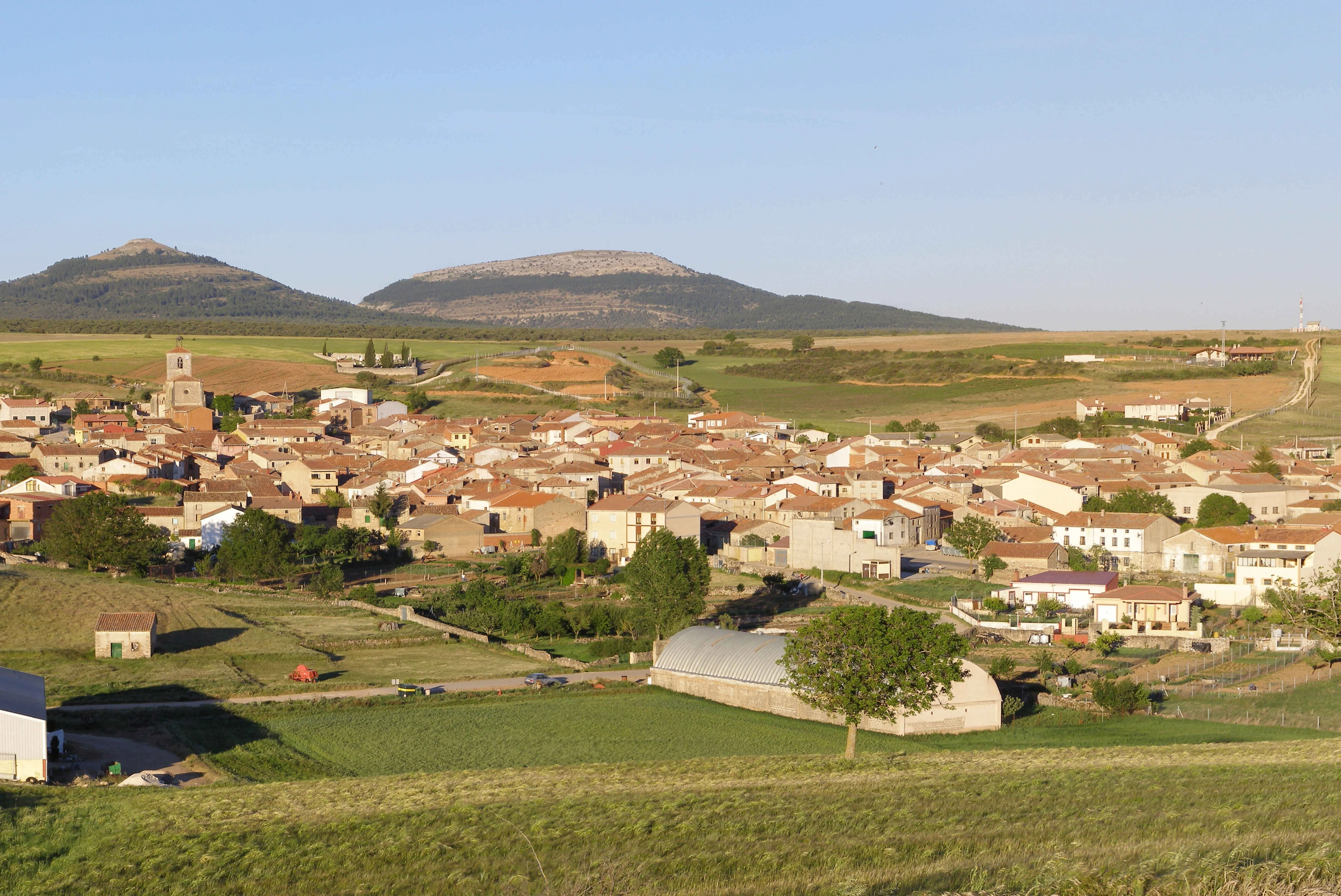
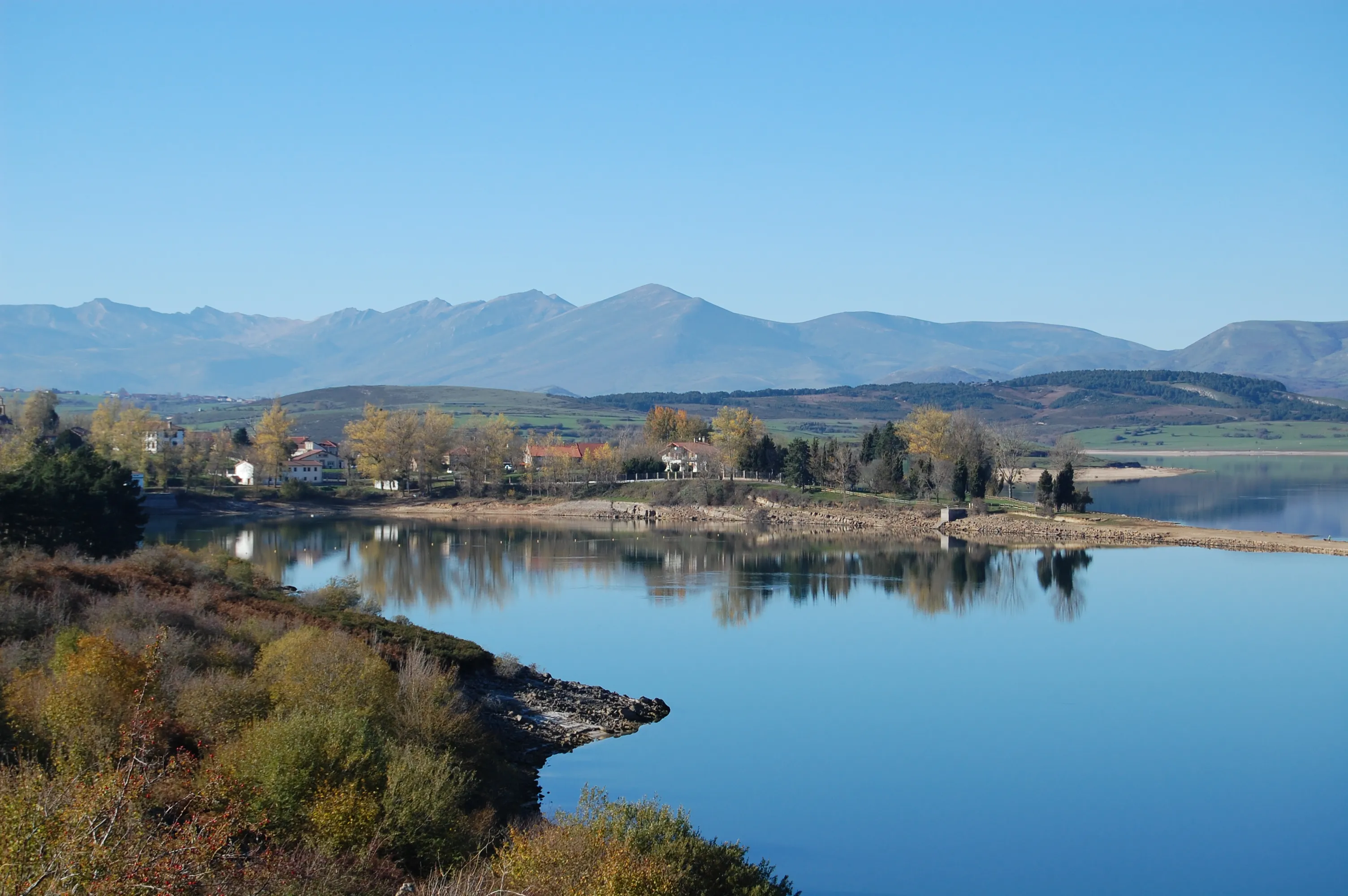
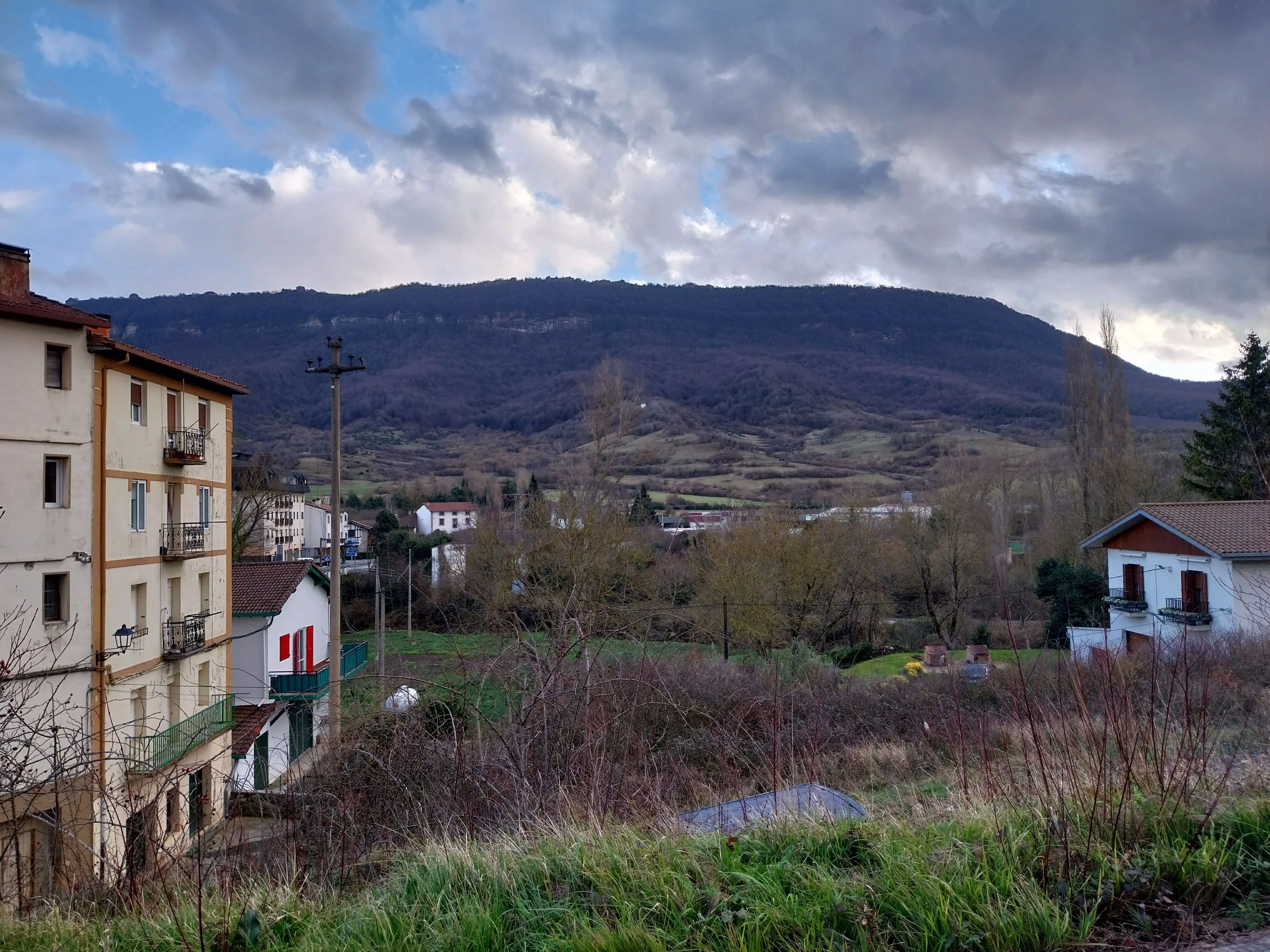
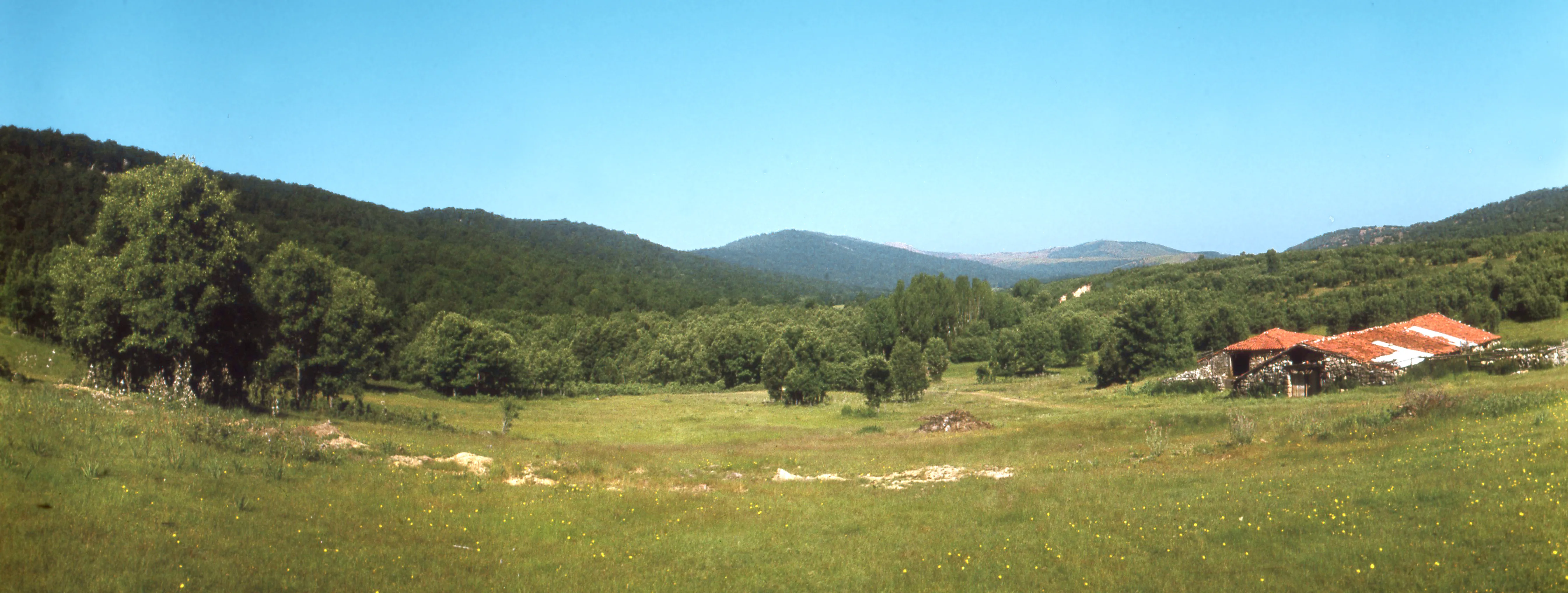
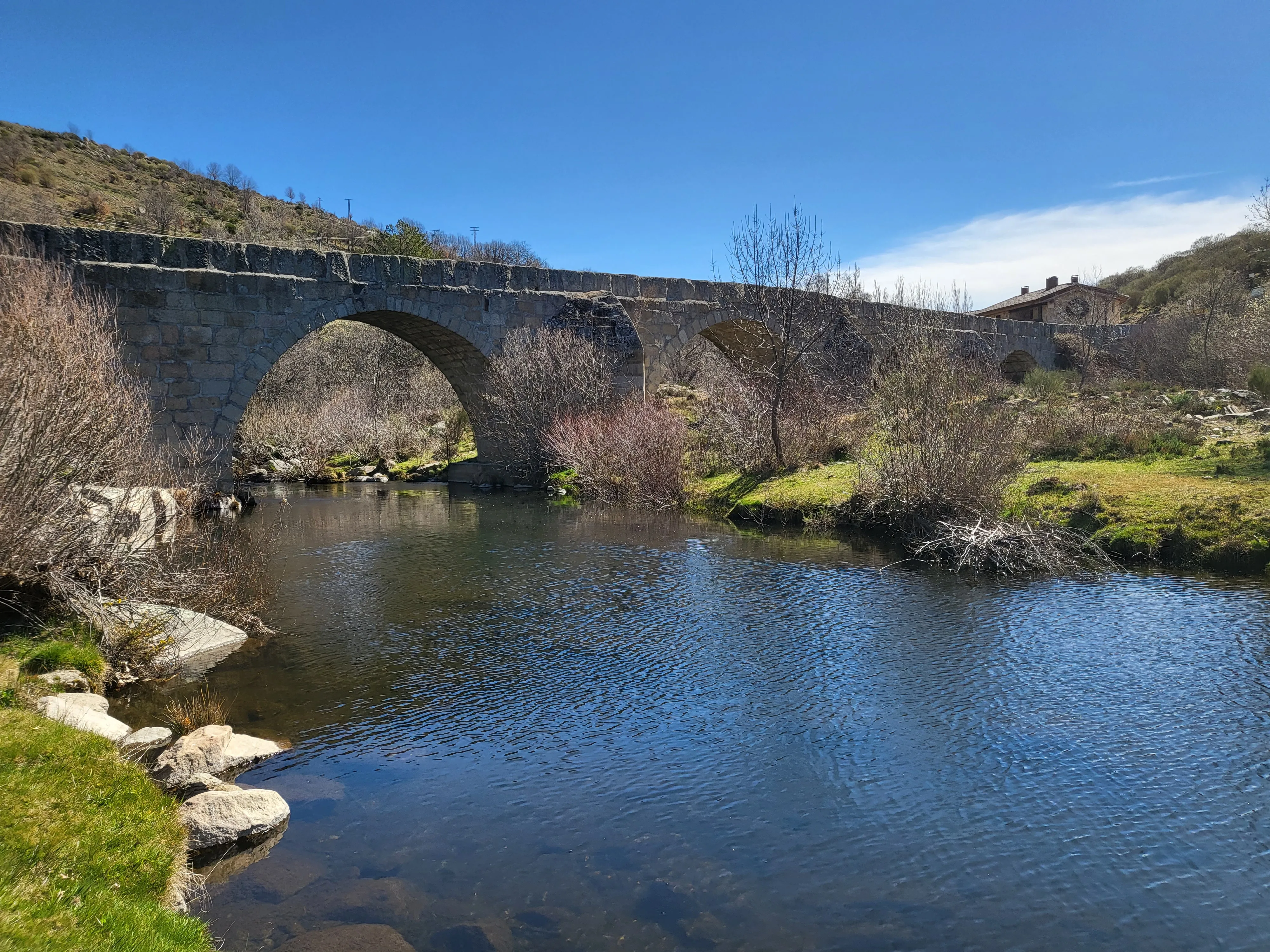
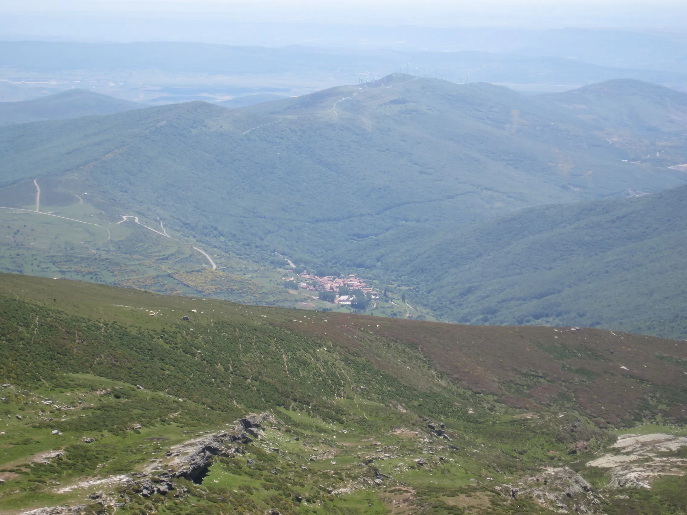
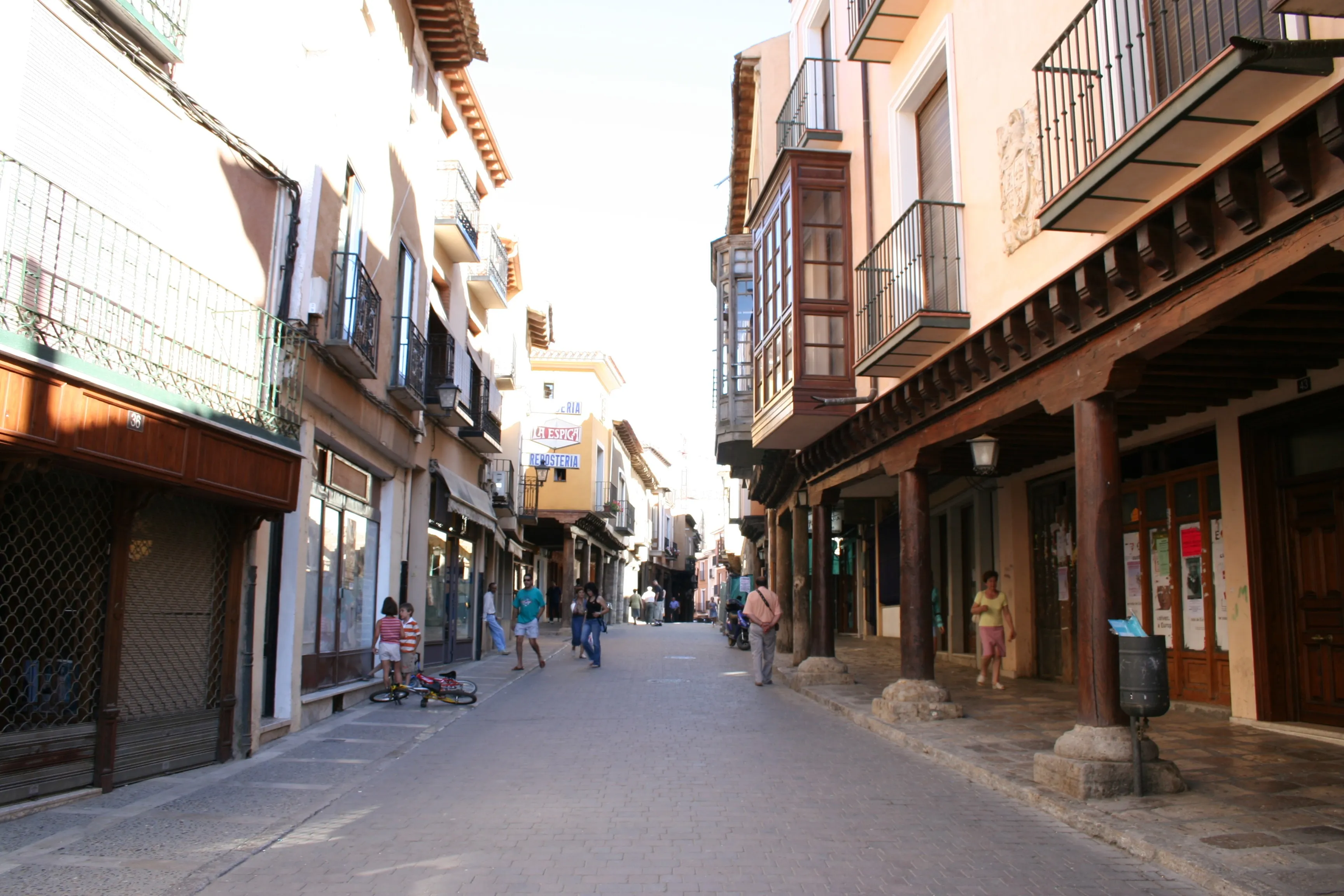
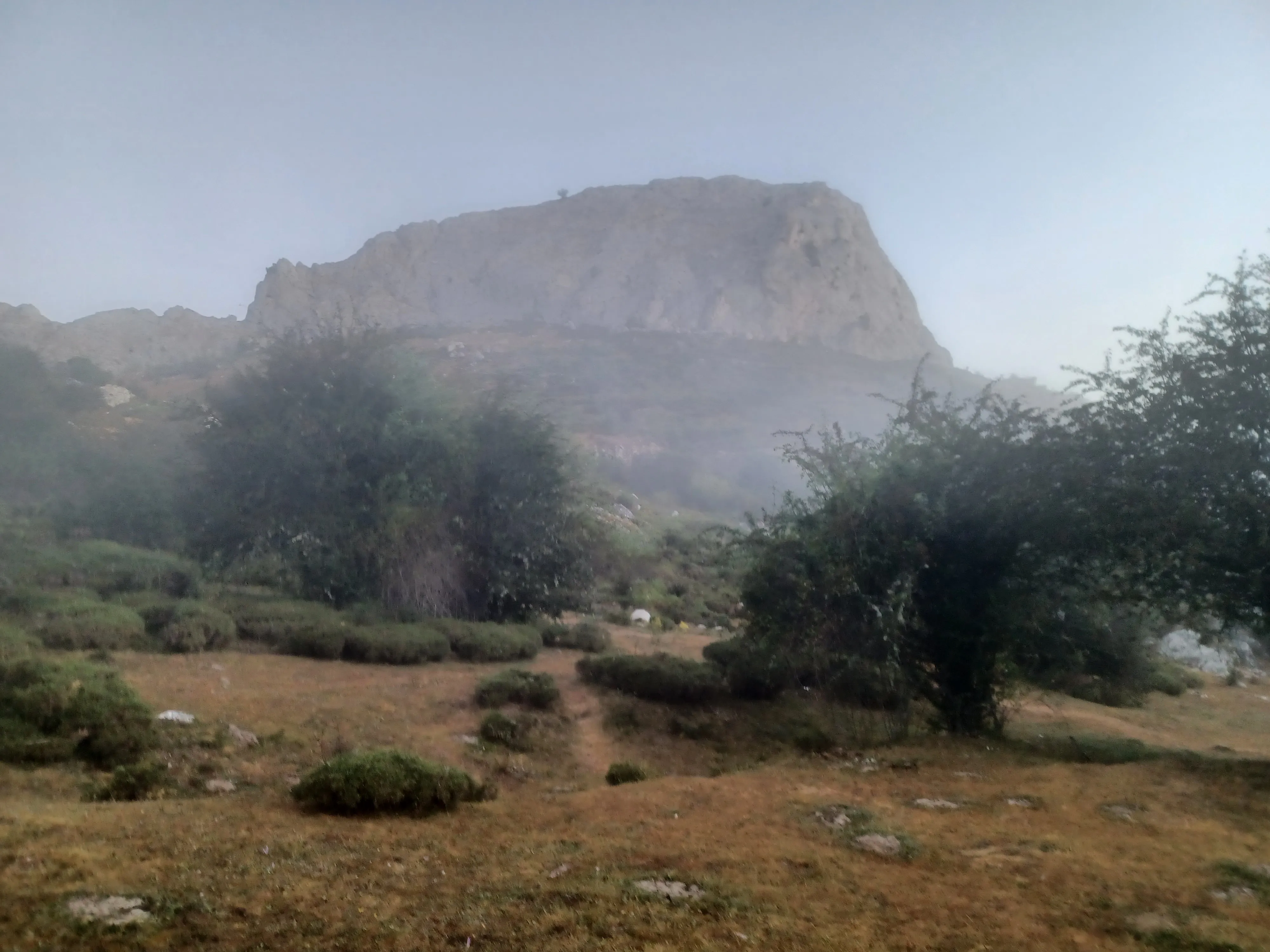
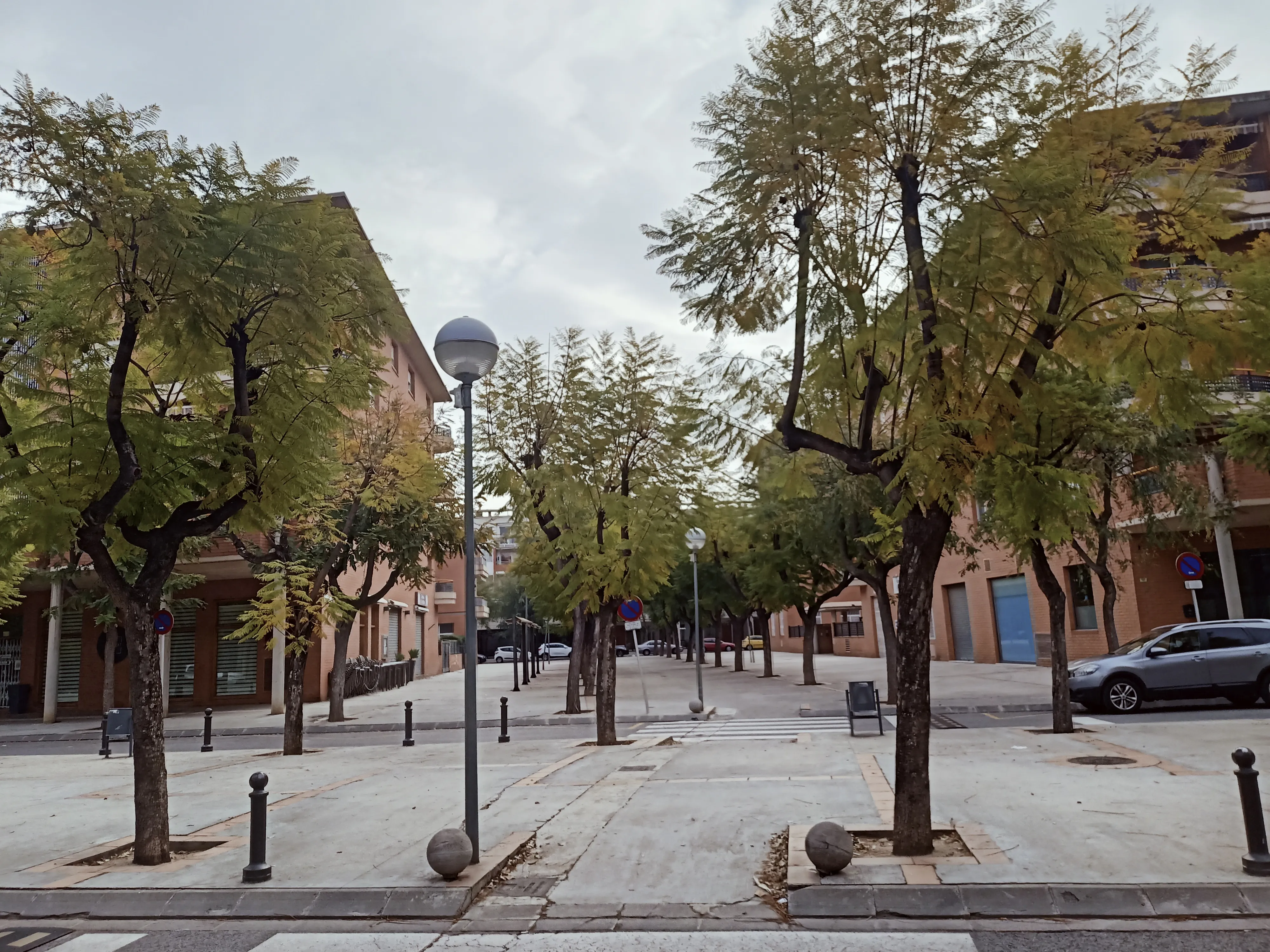
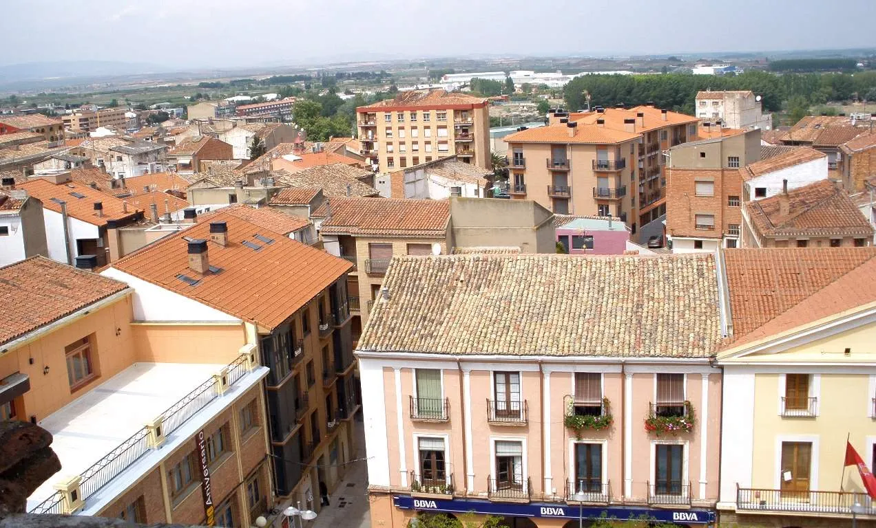
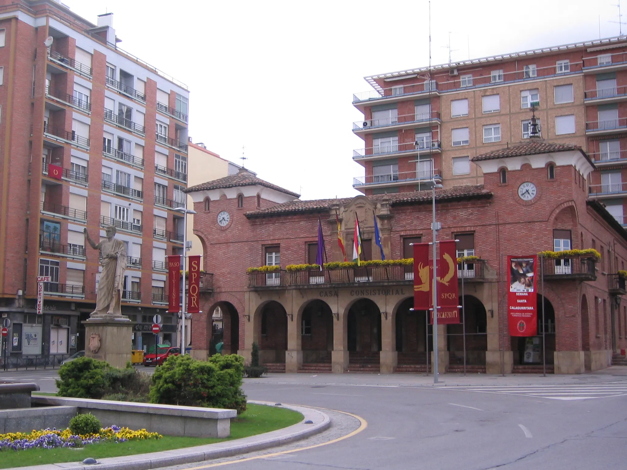
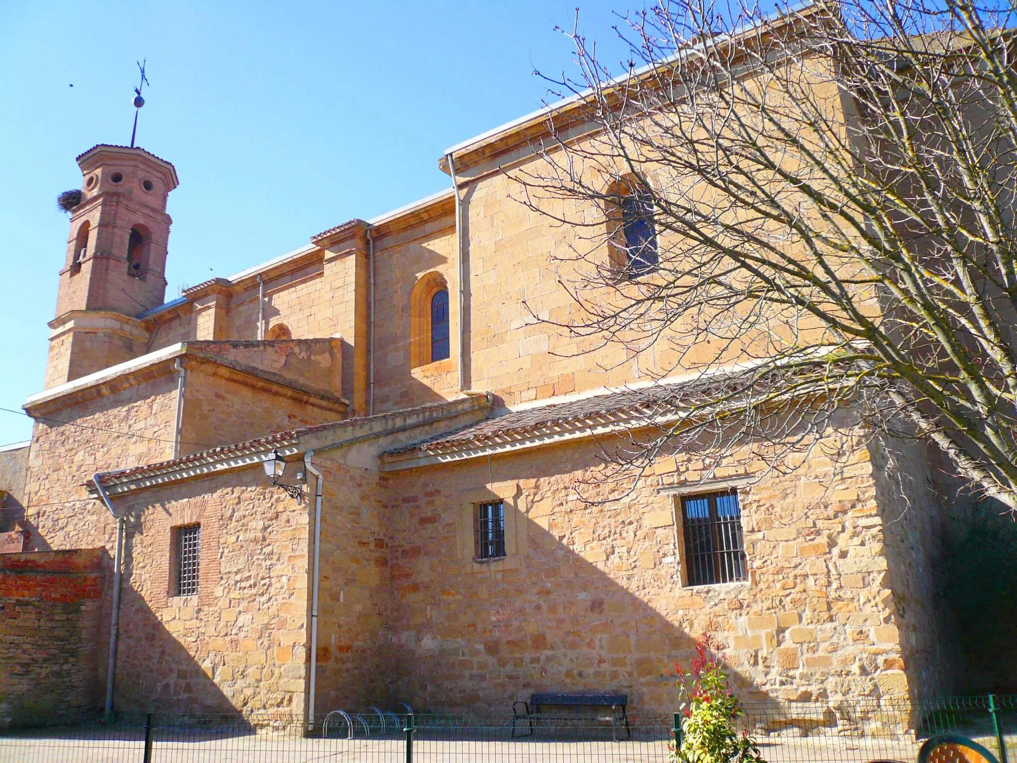
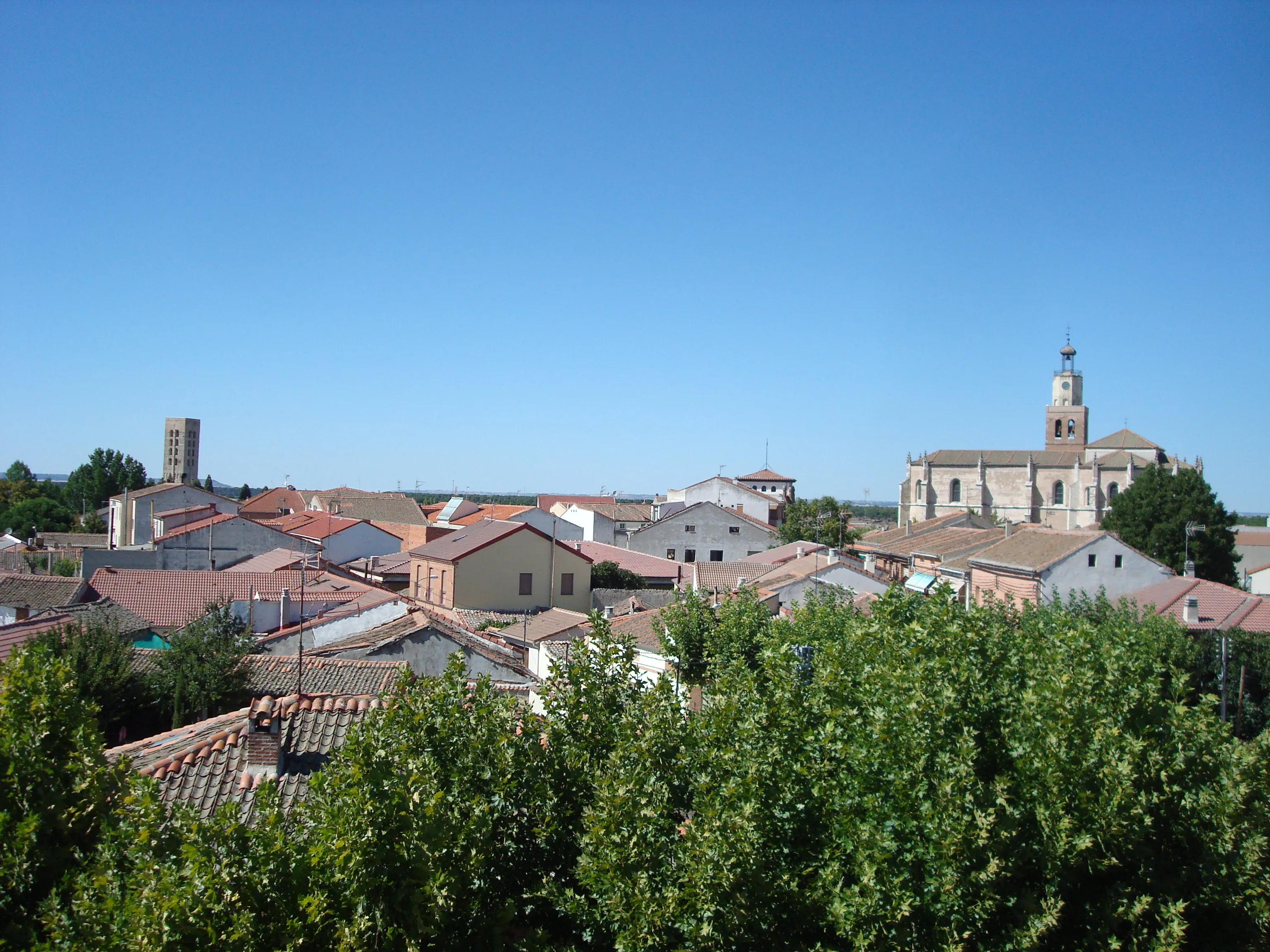
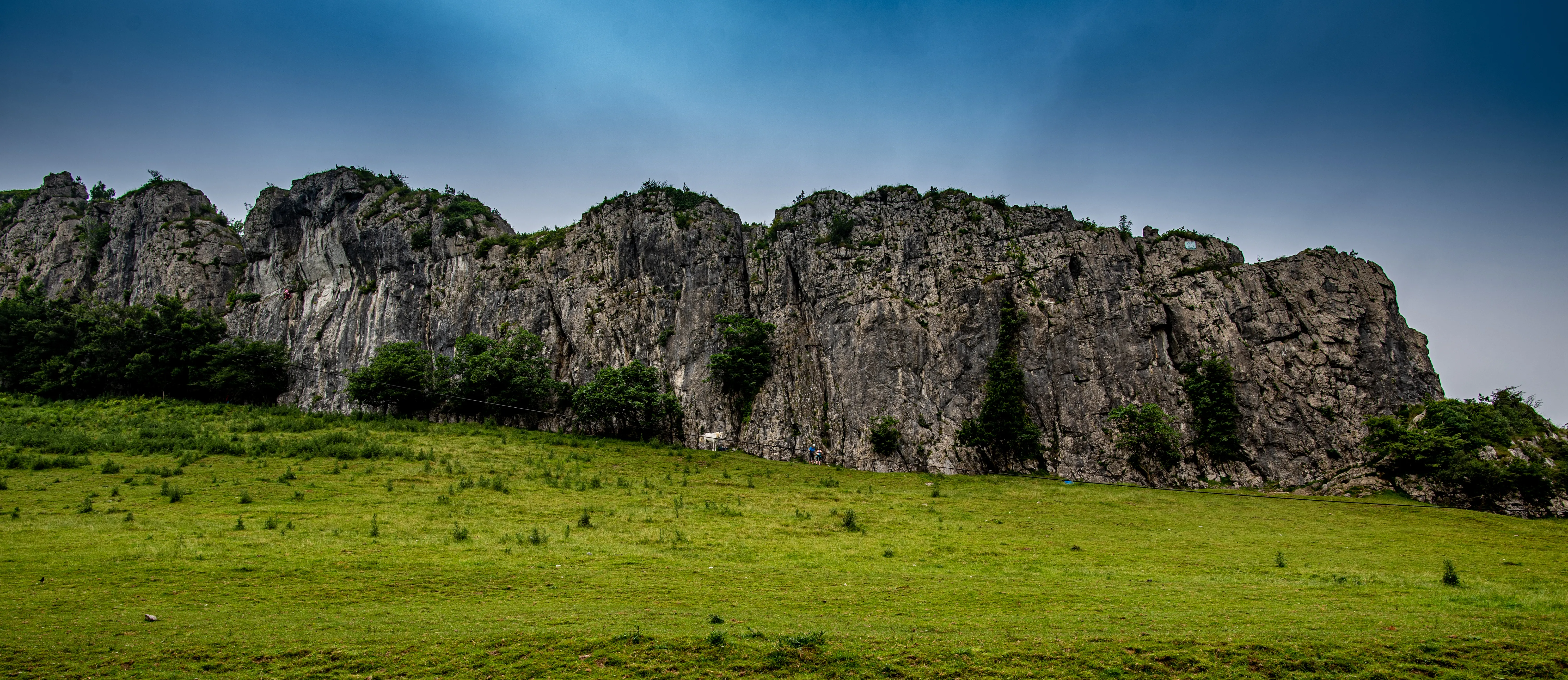
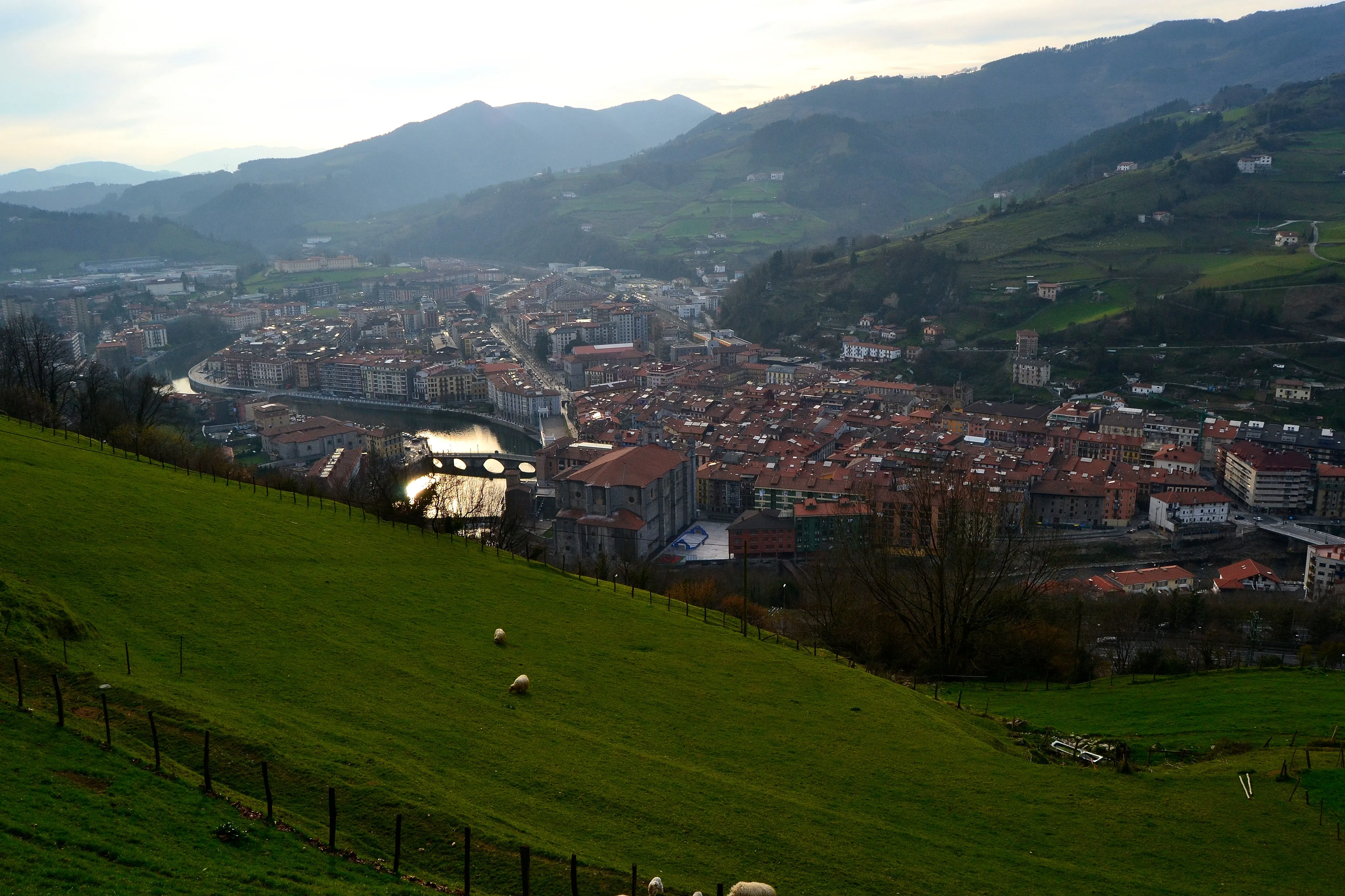
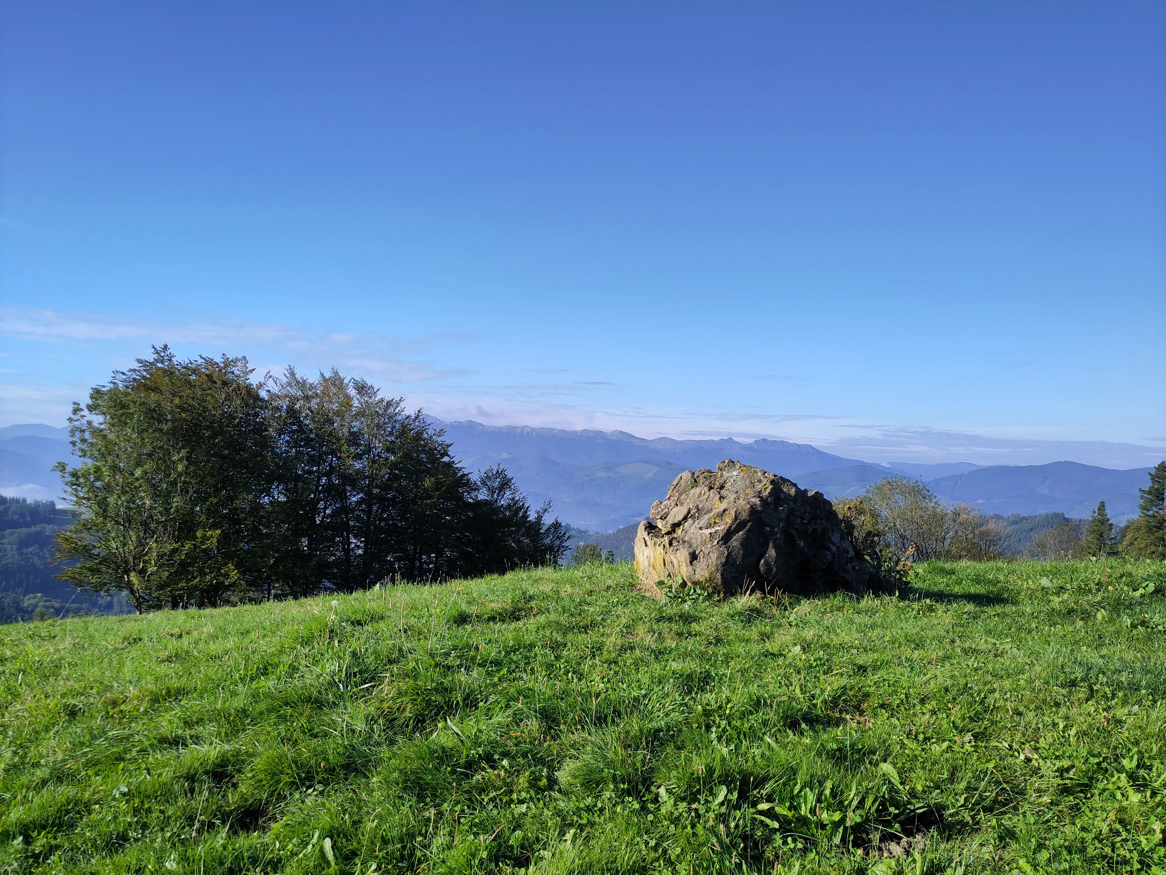
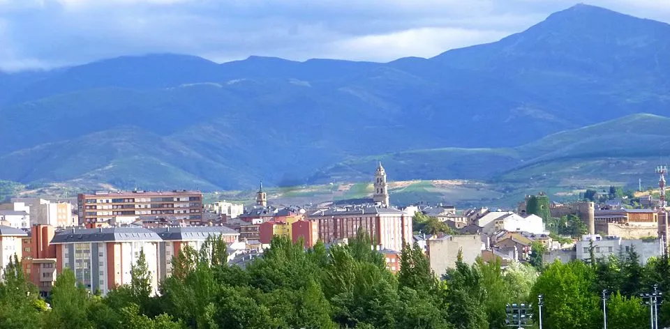
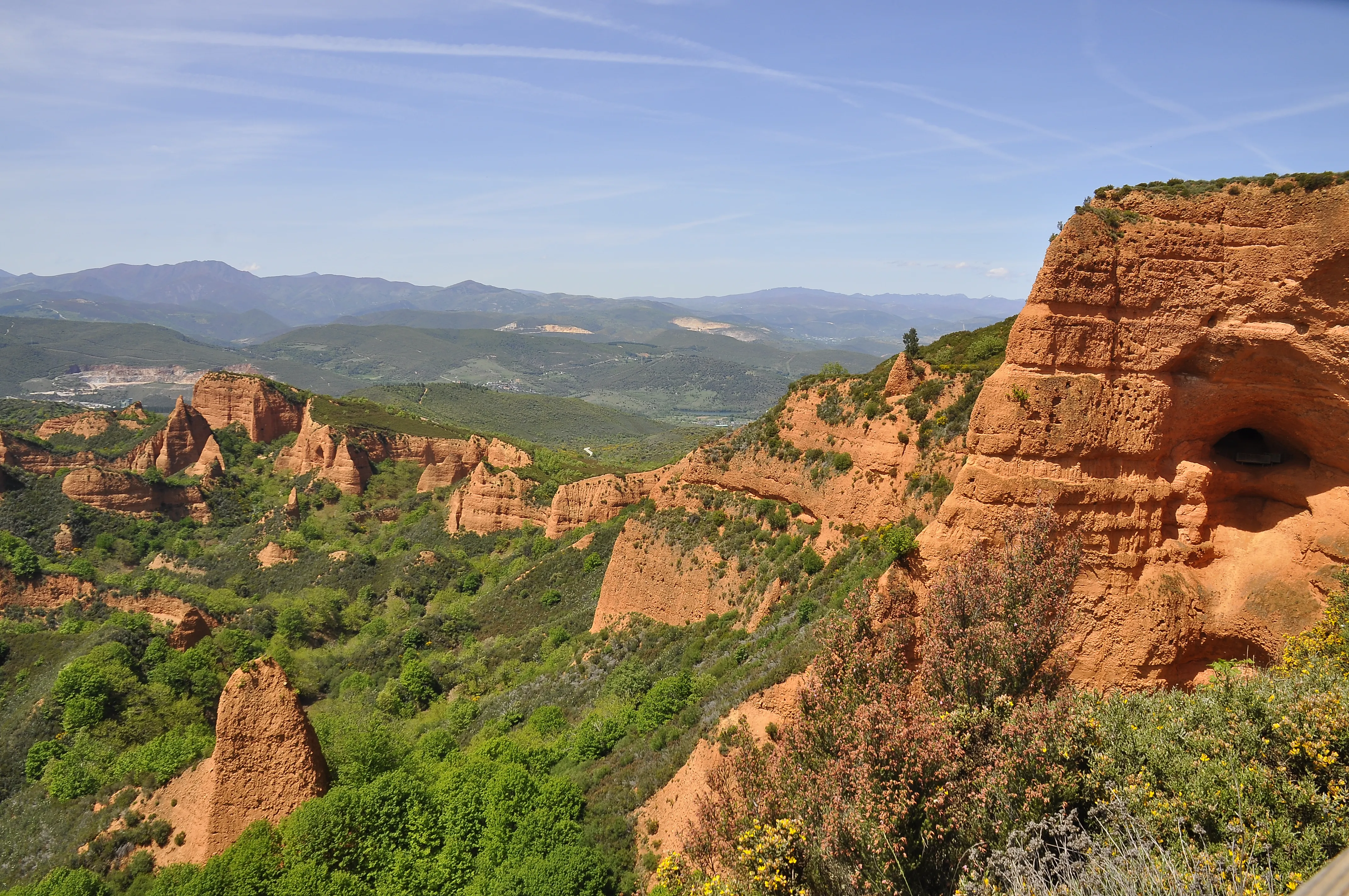
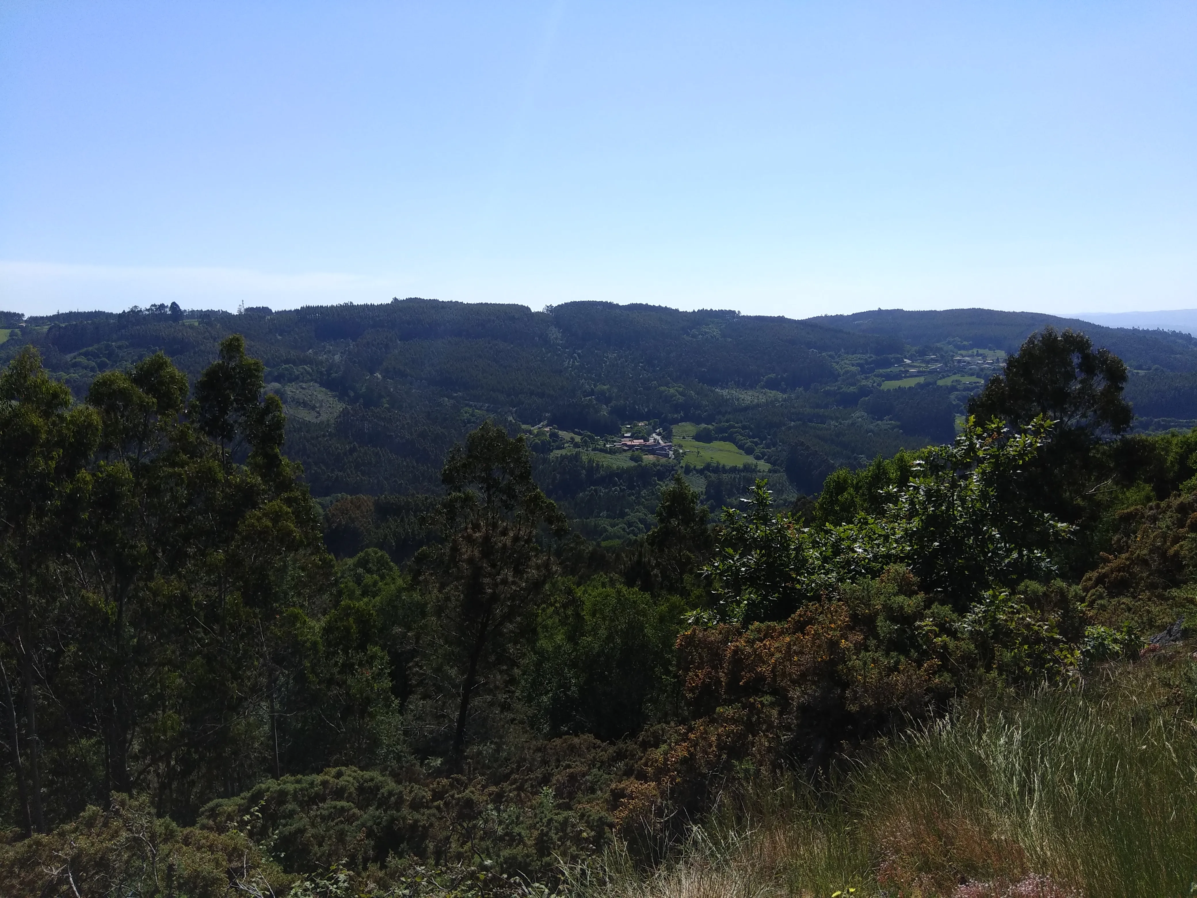
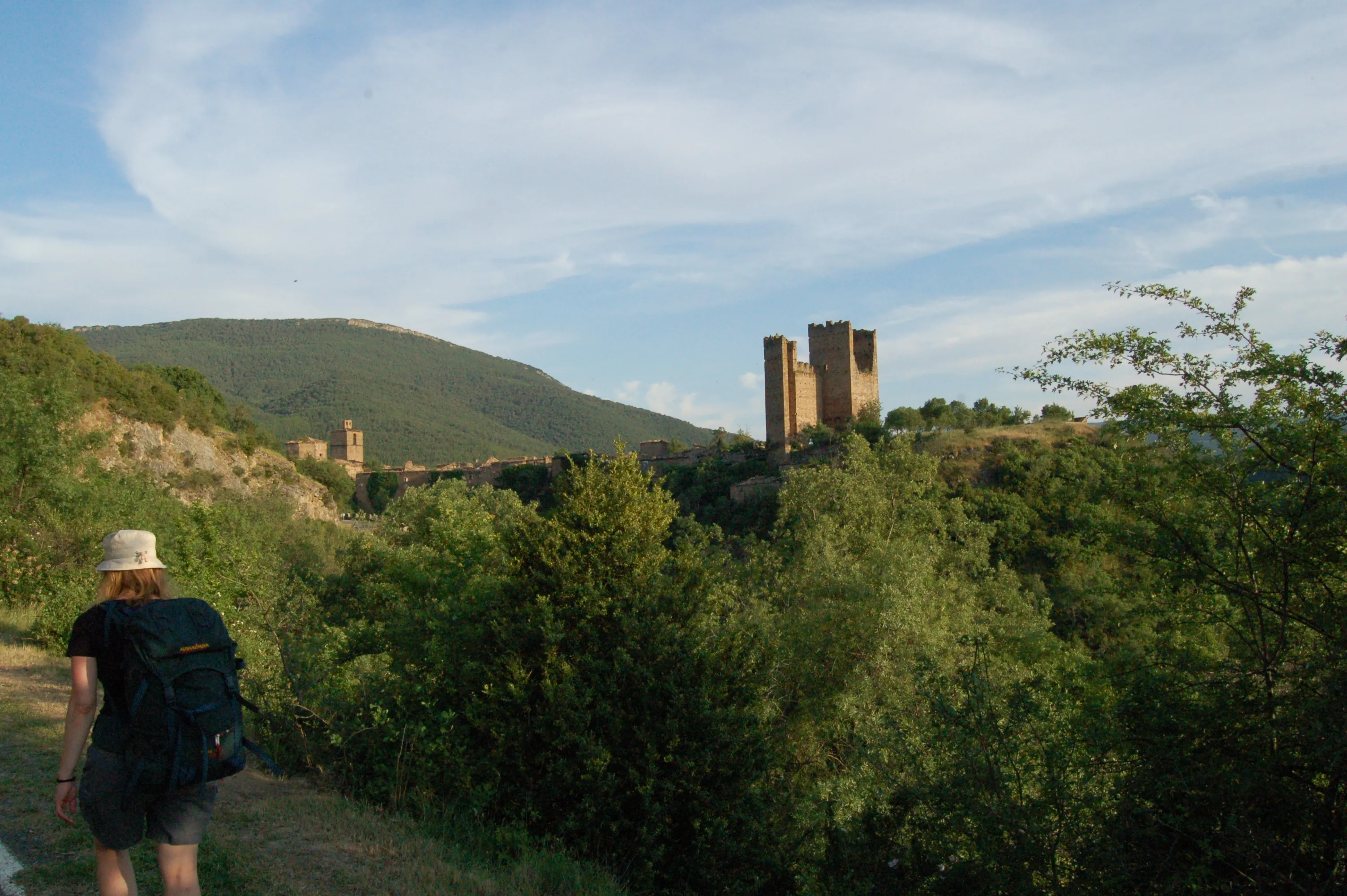
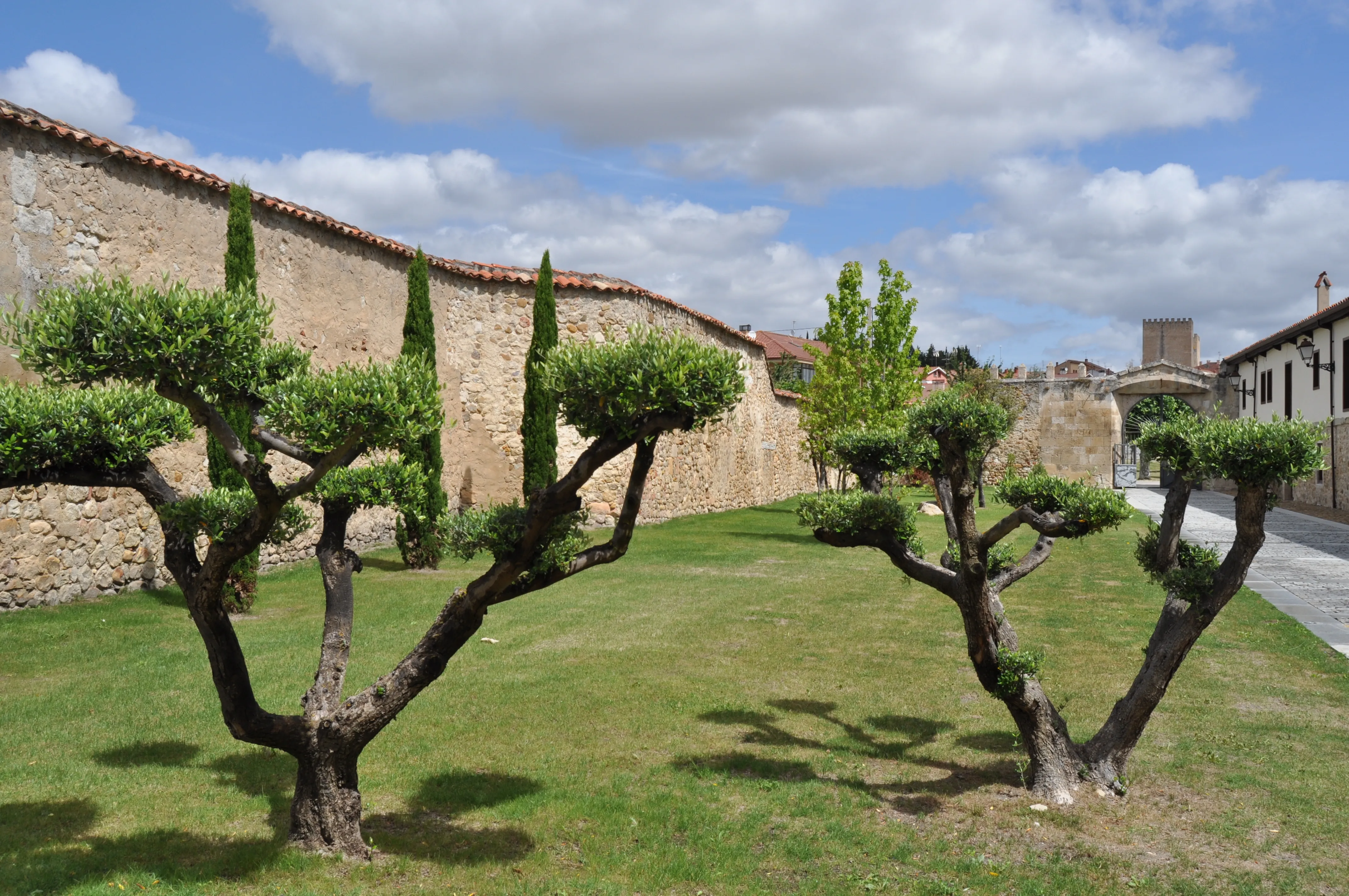
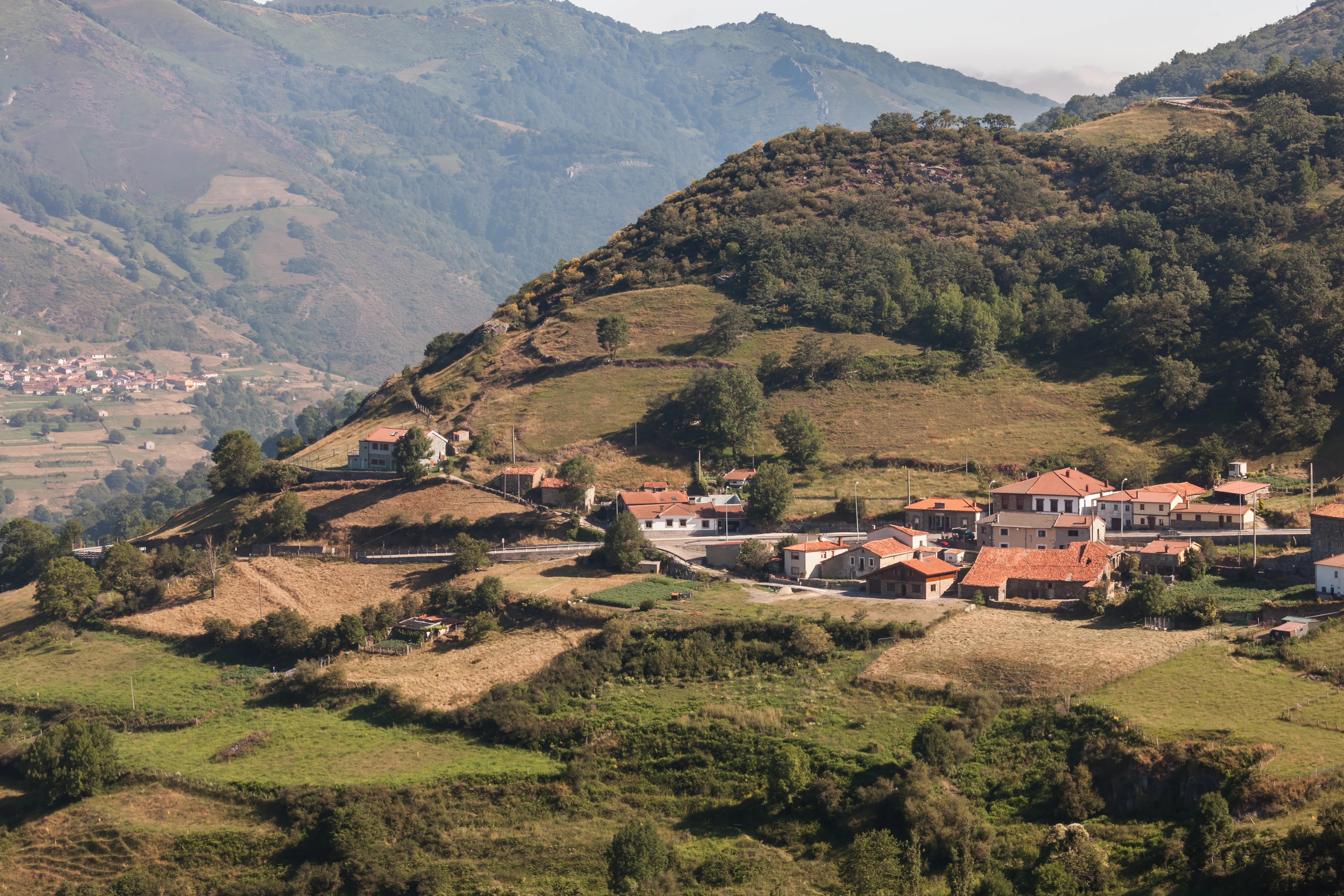
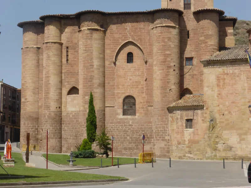
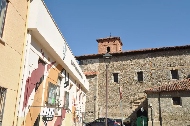
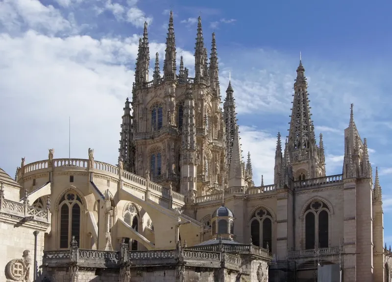
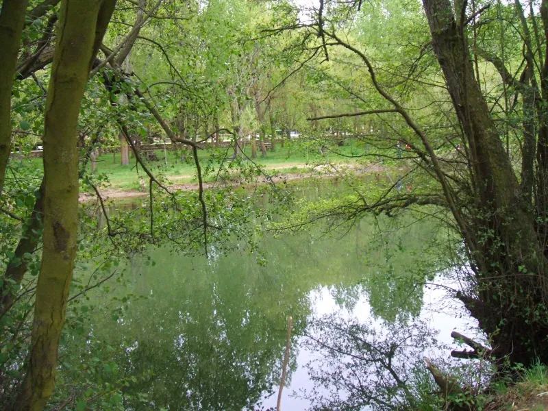
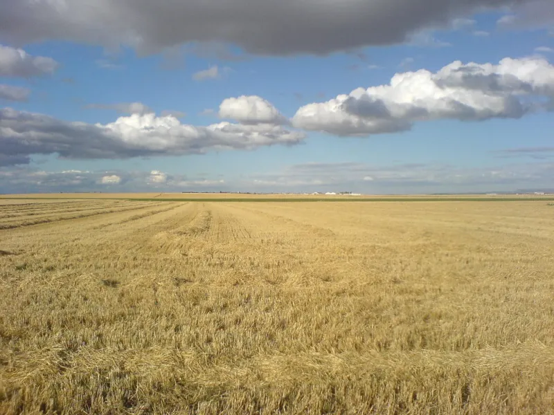
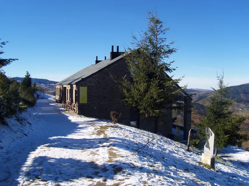
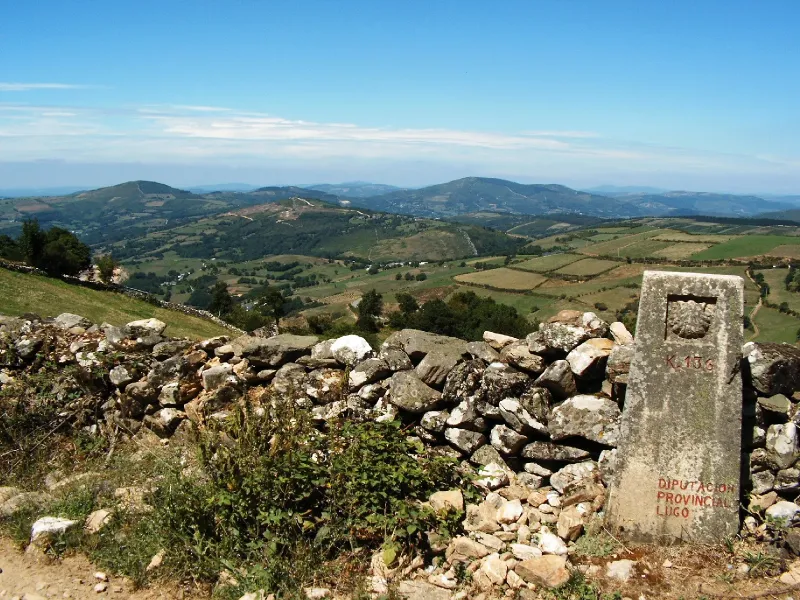
Pilgrims traverse Navarra, La Rioja, Castile and León, and finally Galicia, marveling at monumental cities such as Pamplona, Burgos, and León, and charming villages. The diversity of its landscapes is one of its greatest attractions, from the Pyrenees and the Castilian plains to the green forests of Galicia. It's a physical and spiritual journey that leaves an indelible mark, ideal for both experienced pilgrims and those starting out on the Camino de Santiago.
Related Routes
Connections of The French Way
The Camino by Bike
779 km
14
Media
The Camino Francés by bike offers a dynamic experience for "bicigrinos". Although the general route follows the walking trail, stages are designed to cover greater distances, condensing the journey into 14 days. This mode allows cyclists to pass through Pamplona, Burgos and León, and traverse the Pyrenees, Meseta and Galicia landscapes at a brisk pace.
Stages of this variant:

Stage 1: Saint Jean Pied de Port to Zubiri (Bike)
Stage 2: Zubiri to Puente la Reina by bike

Stage 3: Bridge of Queen to Towers of Rio (Bicycle)
Stage 4: Logroño - Santo Domingo de la Calzada by bike

Stage 5: Santiago de Compostela - Santiago de Compostela (by bike)


Lebanon Way
72 km
3
Media
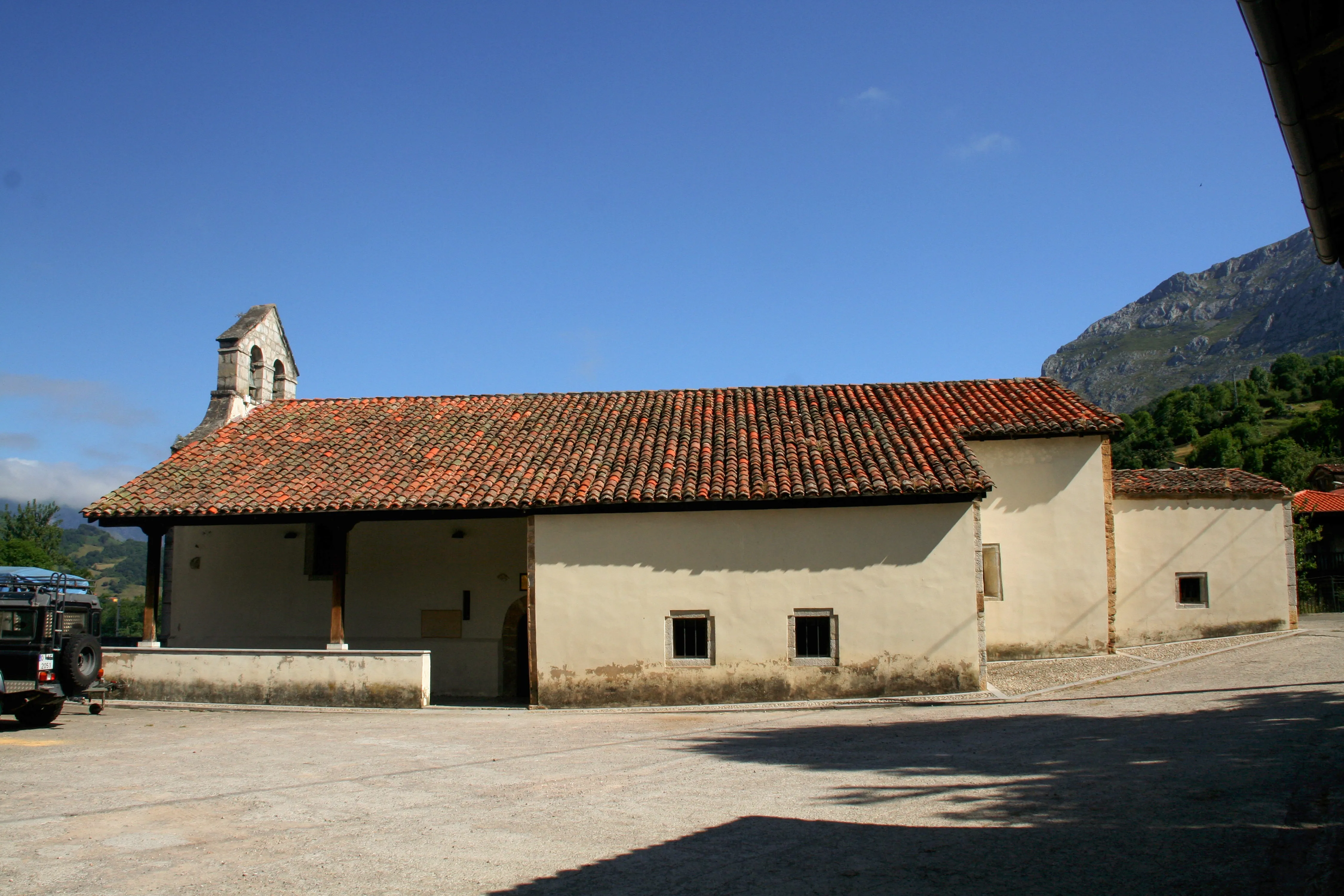
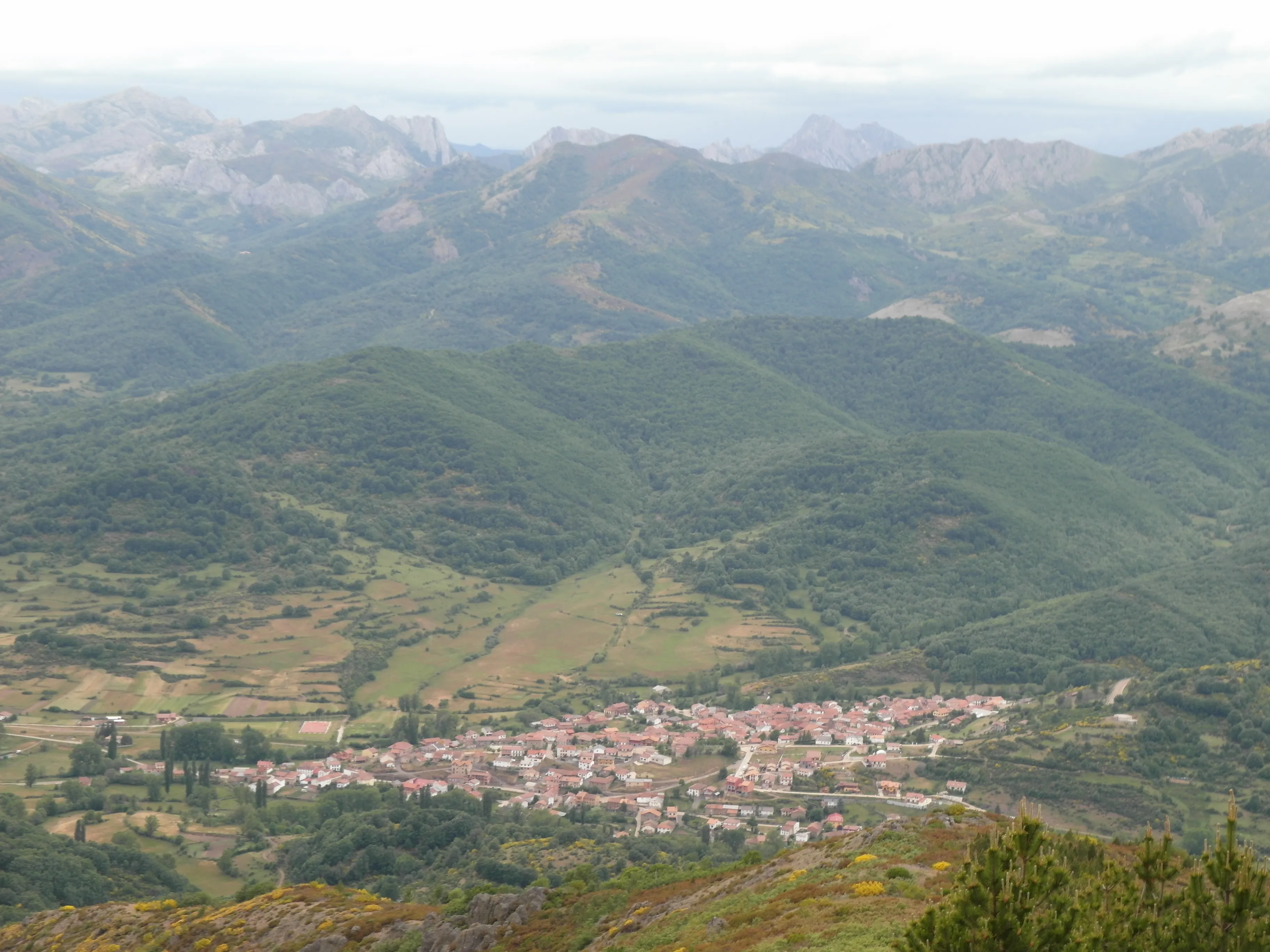
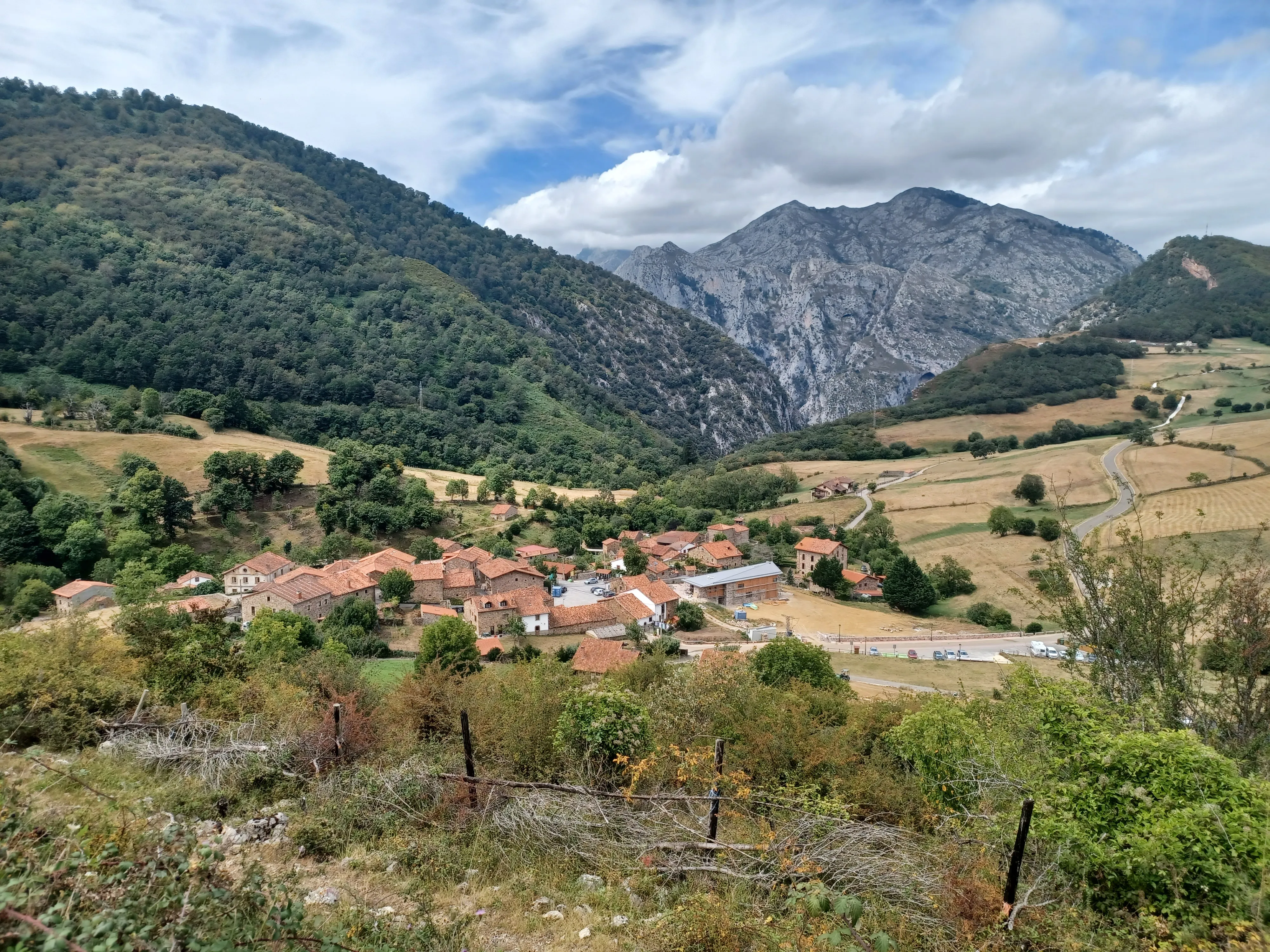
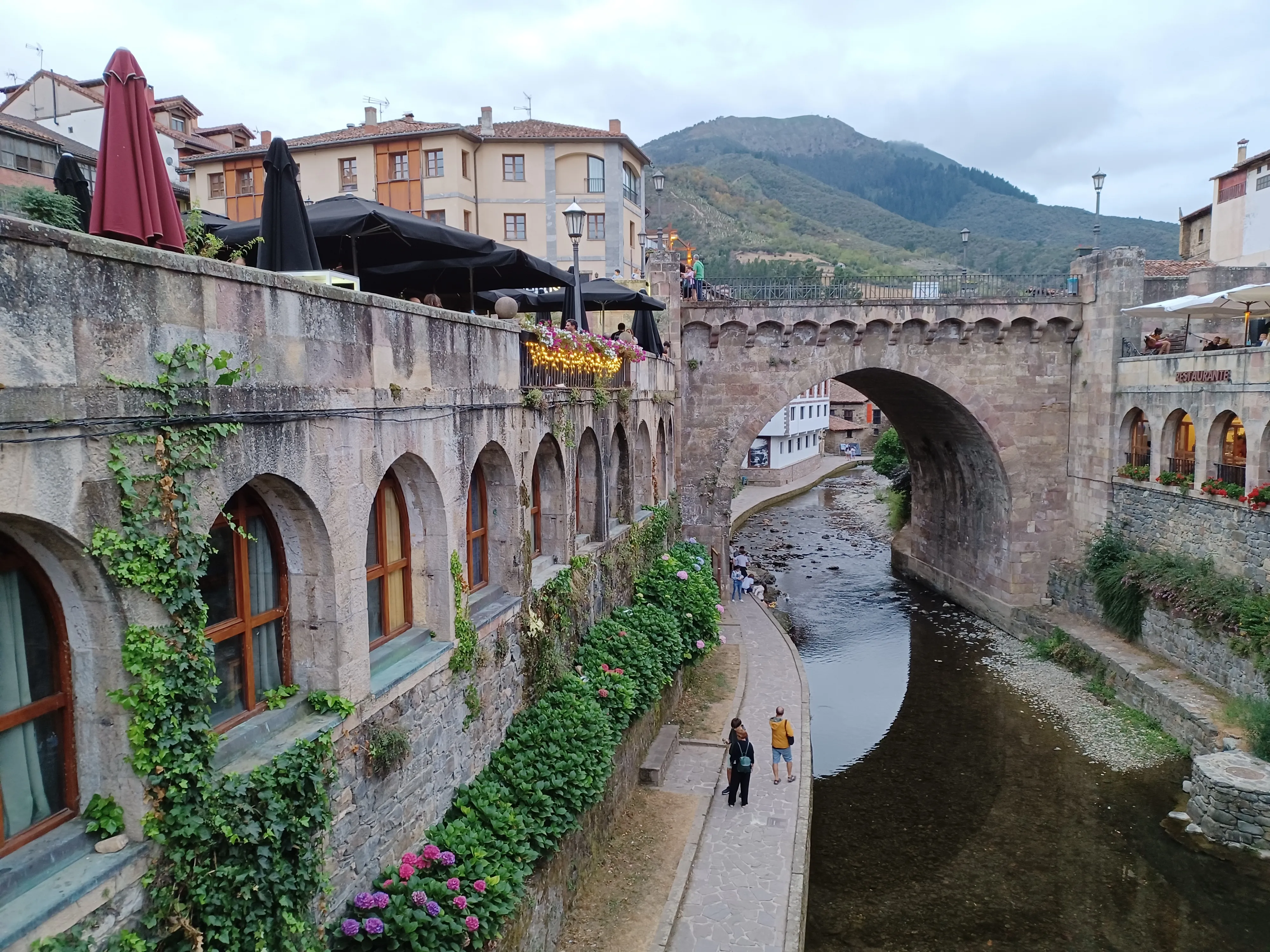
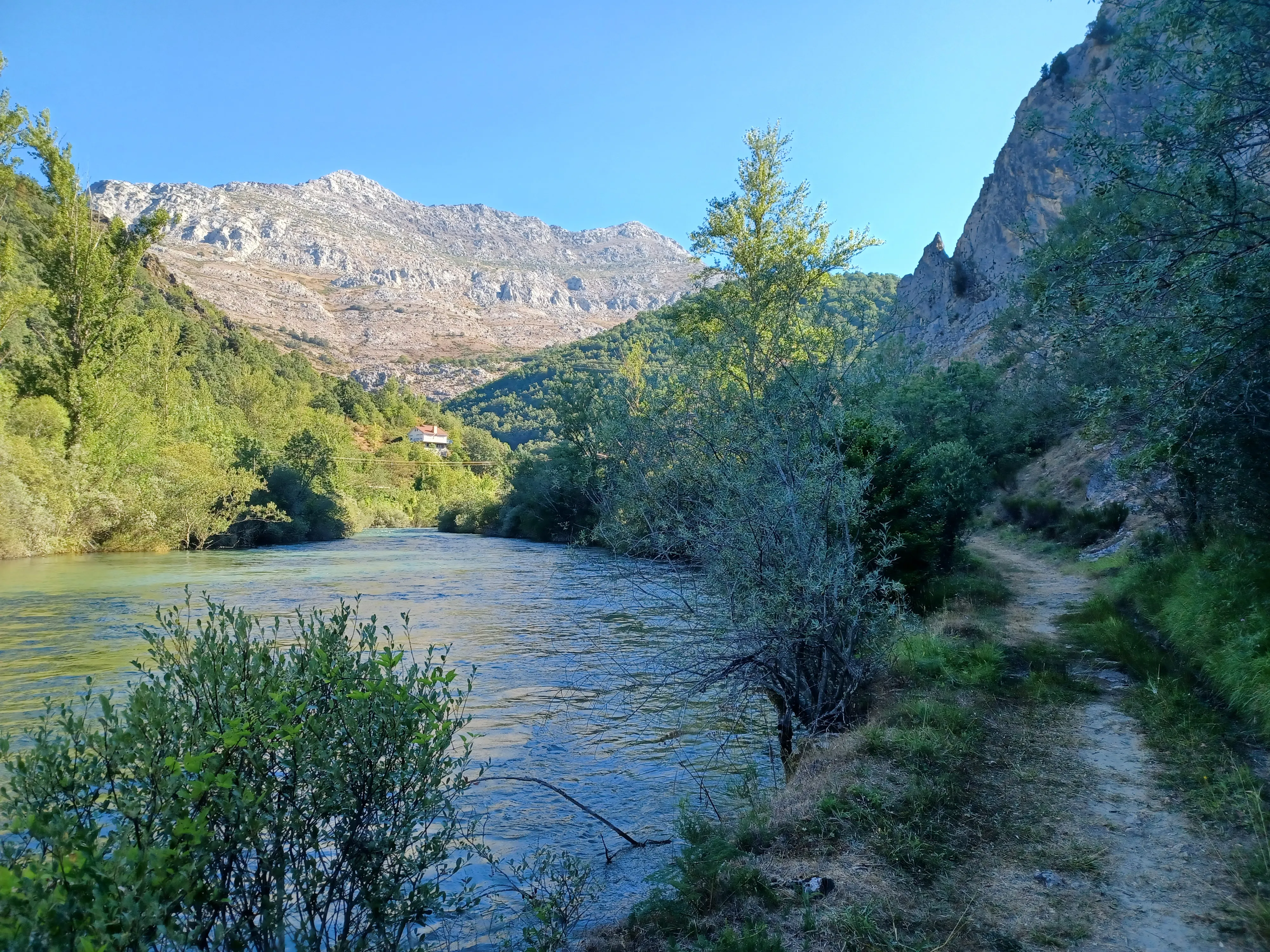
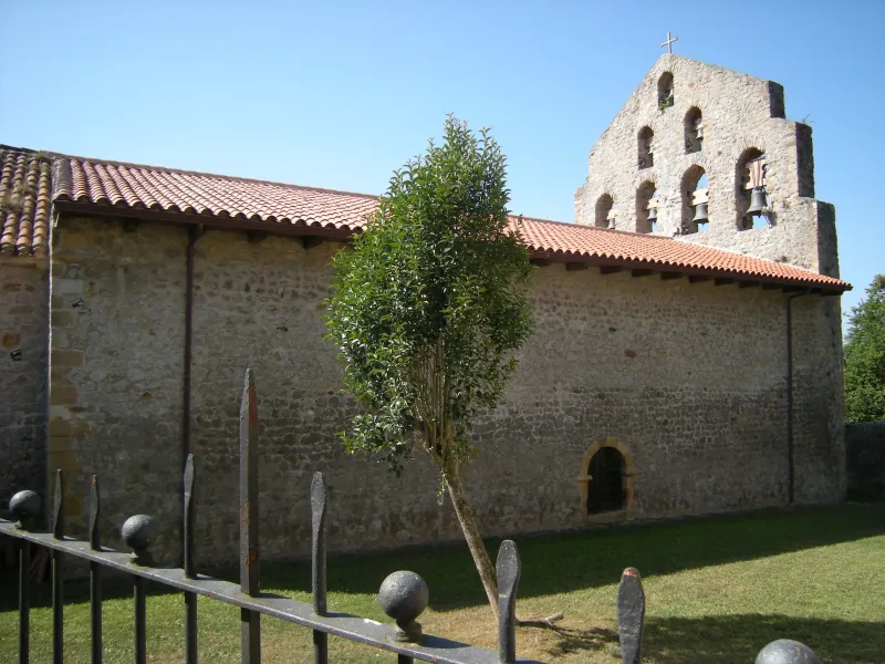
The Lebaniego Way leads to the Monastery of Santo Toribio de Liébana, one of the five holy sites of Christendom with a Jubilee Year. This monastery safeguards the Holy Cross, the largest piece considered to be from the cross of Christ. The main route, approximately 72 km long, begins in San Vicente de la Barquera and traverses beautiful valleys and mountains, with the Picos de Europa as its backdrop.
Although it does not lead directly to Santiago, many pilgrims undertake it as a pilgrimage in itself or as a precursor, connecting afterwards with the French Way through the Vadiniense Route. It is a moderately difficult path with great spirituality.
Stages of this variant:
Stage 1: St. Vincent of the Harbour to Cades
Stage 2: Cades to Cabanes
Stage 3: Cabanes near Santo Toribio de Liébana
Fiber Way
677 km
27
Media
The Wool Road is a historic Jacobean route originating in Alicante and heading north to link with the French Way in Burgos. Its name comes from the ancient royal pastures used for sheep herding, which also served as pilgrimage routes. This long journey of 677 km to Burgos passes through Cuenca, Guadalajara, and Soria.
Stages of this variant:
Stage 1: Alicante to Orito
Stage 2: Oriente towards Pequera
Stage 3: To visit Villena
Stage 4: Villena to Caudete
Stage 5: Go to Almansa
Forgotten Path
498 km
21
High
The Forgotten Way, also known as the Old Way of St James, is one of the oldest Jacobean routes, used before the consolidation of the French Way. It runs through the north of the peninsula, from Bilbao or Pamplona, crossing the mountains of Burgos, Cantabria and Palencia to reach Villafranca del Bierzo (León), where it joins the French Way.
With a journey that exceeds 500 km, it is an demanding route, with solitary stretches and significant inclines, but of exceptional landscape beauty and historical value. Its recent revival attracts pilgrims seeking less crowded routes with a strong adventure component.
Stages of this variant:
Stage 1: Bilbao to Guémené
Stage 2: Guémené in Navarre
Stage 3: River of Ordunte to Bercedo
Stage 4: Bercesto in Quintanilla del Rebollar
Stage 5: Quintanilla del Rebollar to Soncillo
Way of the Asturias
465 km
22
High
The Camino of Asturias is a historical itinerary that connects the French Way in Pamplona with the Primitive Way in Oviedo. This route, of great scenic beauty and notable physical demand, traverses the mountains of Navarre, Álava, Cantabria, and Asturias. It offers a deep immersion in nature and the heritage of interior Spain, with mountain landscapes, valleys, and villages with history.
Stages of this variant:
Stage 1: Pamplona to Irurzun
Stage 2: Irun to Alsausa
Stage 3: Asunción a Salta
Stage 4: Salvaterra to Vitoria
Stage 5: Victory over La Puebla of Arganzón
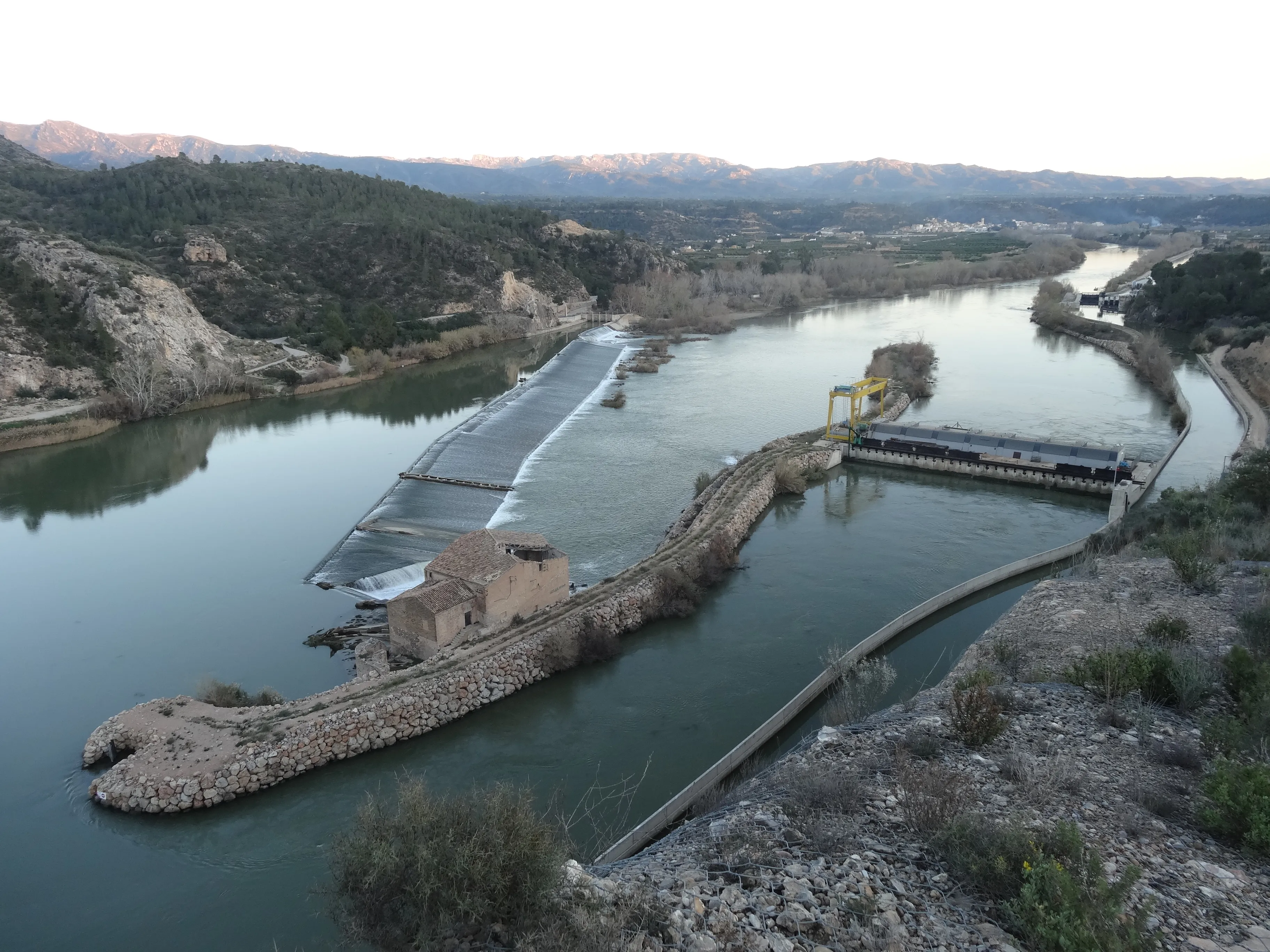
Route of the Ebro
457 km
18
Media
The Ebro Way is a Jacobean route that largely follows the course of the same-named river. It begins at the Ebro Delta or Tortosa and heads northwest to Logroño (La Rioja), where it meets the French Way. Its 457 km journey offers an unique experience, combining the natural richness of its banks with the heritage of the towns it passes through, such as the monumental Zaragoza.
It is a route with mostly flat sections that allows you to discover the diversity of landscapes in Catalonia, Aragon and La Rioja.
Stages of this variant:
Stage 1: Deltiberre to La Ràpita
Stage 2: Rapita to Tortosa
Stage 3: To Tortosa from Xeresa
Stage 4: Siege of Xerta
Stage 5: Gandesa to Fabara
Madrid Path
343.3 km
13
High
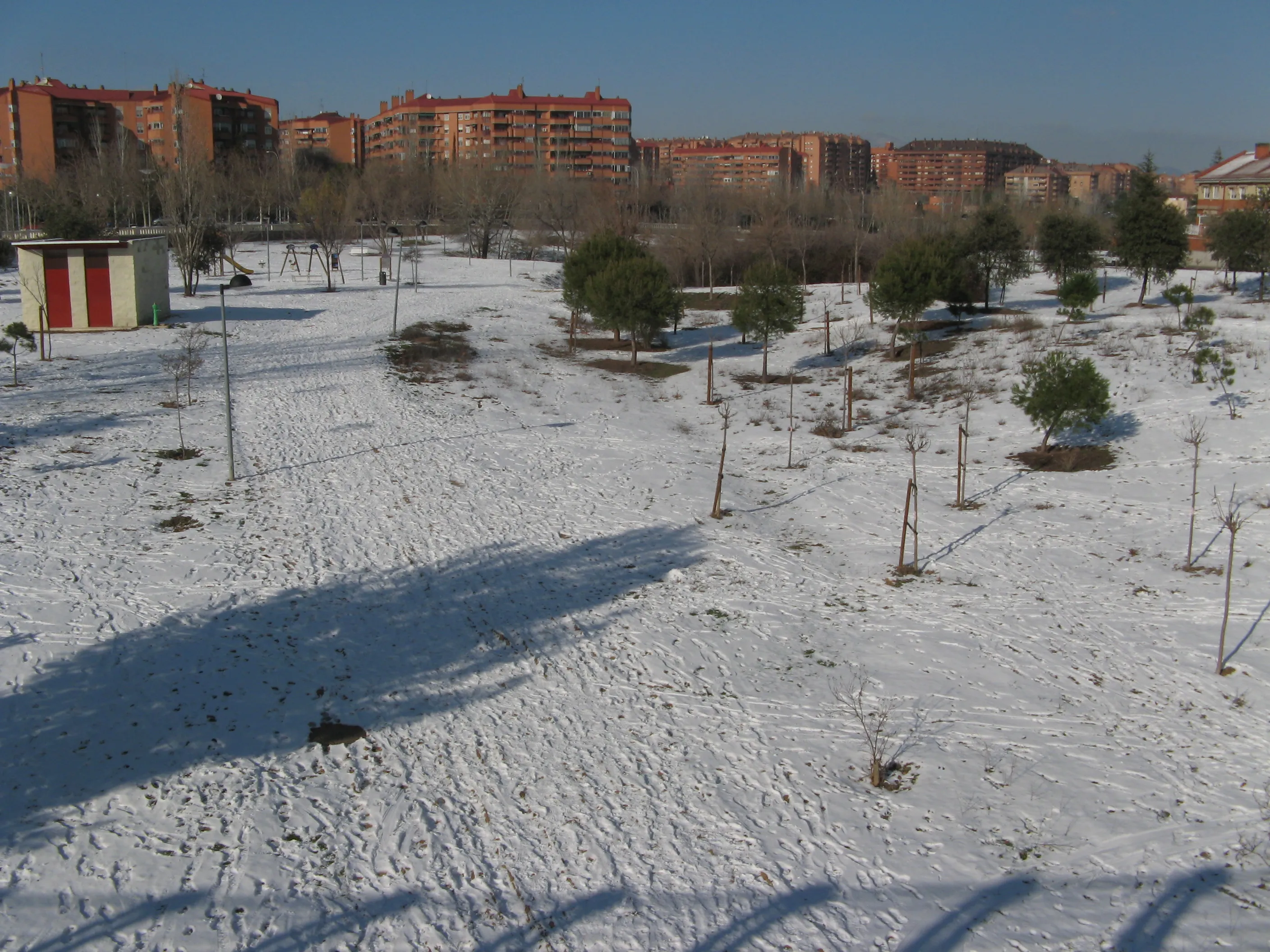
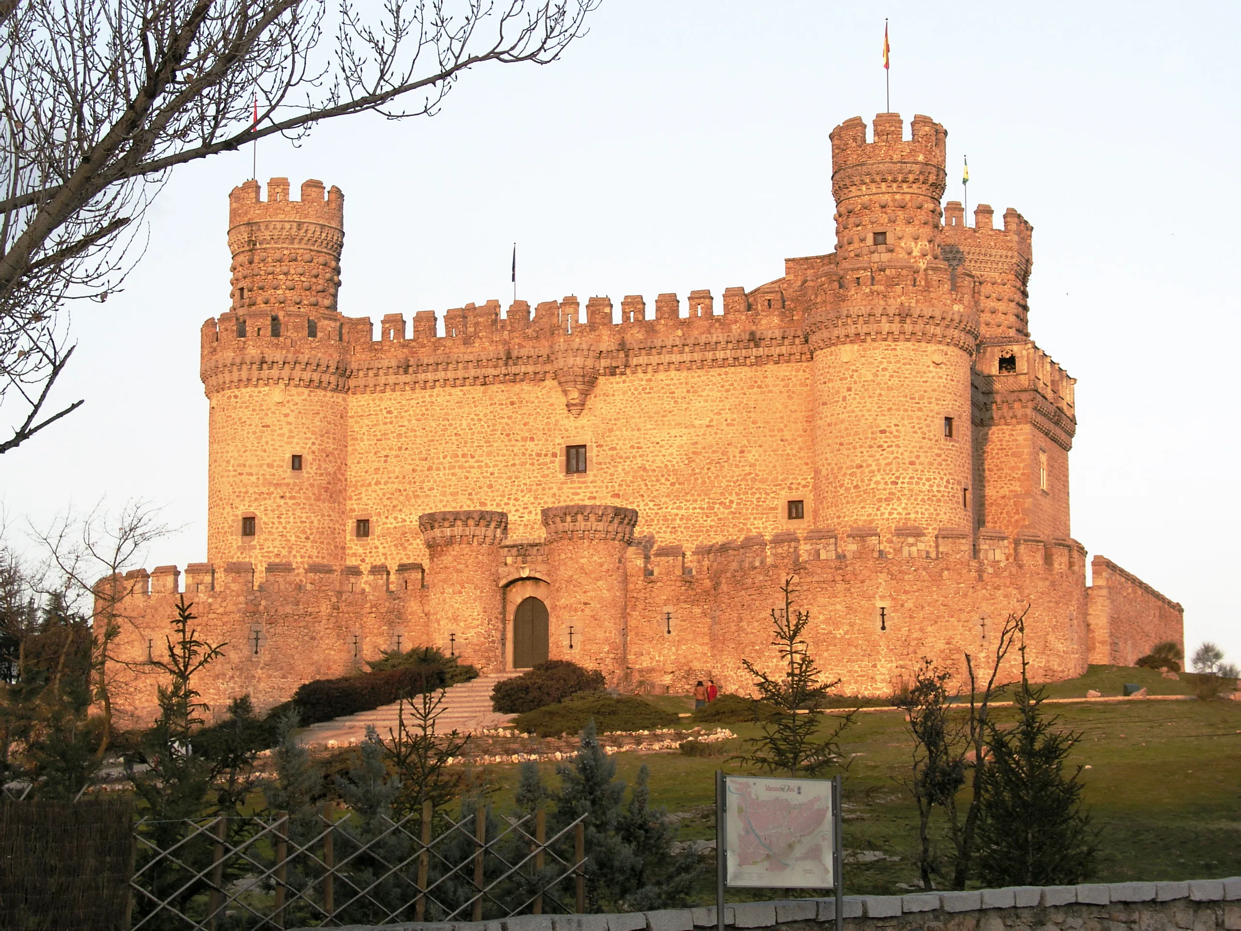
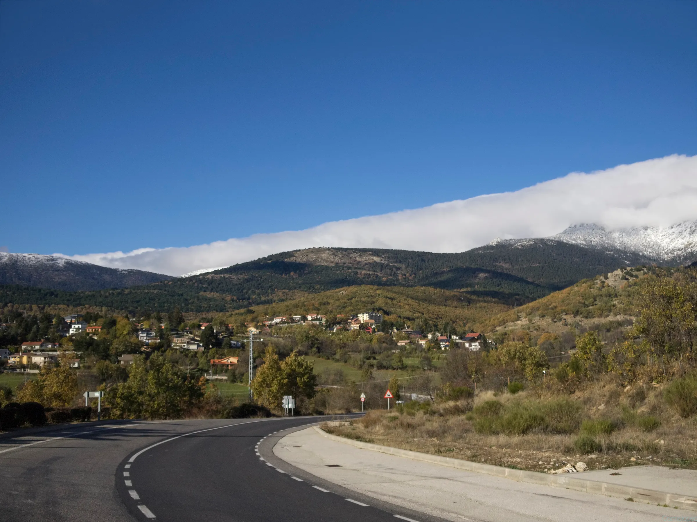
The Madrid Way offers the possibility of starting the pilgrimage from Spain's capital. With a 343 km journey, this route starts in Madrid and heads north-west, crossing the imposing Sierra de Guadarrama and entering the vast plains of Castile and León. It passes through important cities such as Segovia and Valladolid before joining the French Way in the historic town of Sahagún.
It is a well-signposted path that combines mountain with long stretches across the meseta. It offers an unique view of the interior peninsula, allowing pilgrims from central zone to start their journey to Santiago from home.
Stages of this variant:
Stage 1: Madrid to Tres Cantos
Stage 2: Three Songs to Manzanares el Real
Stage 3: Manzanares el Real to Cercedilla
Stage 4: Cercedilla to Segovia

Stage 5: Segovia to Saint Mary of Royal Nieva
Bayonne Way
286.2 km
12
Media
The Via de Bayona is a historical itinerary that connects the city of Bayonne, in French Basque Country, to Burgos, where it links with the Way of St. Francis. With a distance of approximately 286 km, this route was an important alternative interior for medieval pilgrims. It passes through the French Basque Country and part of La Rioja, passing by cities such as Vitoria-Gasteiz and Miranda de Ebro.
It offers a rich experience in history and culture, traversing varied landscapes. Although it sometimes overlaps or gets confused with the Vasco Interior Way, the Via de Bayona has its own identity as a connection route from France to the heart of the Way of St. Francis.
Stages of this variant:
Stage 1: Bayonne to Irun
Stage 2: Run to Hernani
Stage 3: Hernani to Toulouse
Stage 4: Toledo to Vitoria-Gasteiz
Stage 5: Beasain to Zegama
Winter Path
267 km
10
Media
The Winter Way emerges as a historical variant for pilgrims on the Camino Francés who sought to avoid the difficult snows of O Cebreiro. The route diverges in Ponferrada and follows the course of the Sil River, crossing the Valdeorras region, the Ribeira Sacra, and the Deza region before joining the Vía de la Plata/Camino Sanabrés near Lalín.
With a 267 km journey, it is the only Camino that traverses all four Galician provinces (Ourense, Lugo, Pontevedra, and A Coruña). It offers spectacular landscapes like the Sil Canyons and its heroic viticulture, allowing you to discover a natural and cultural heritage of great value, less known but equally fascinating.
Stages of this variant:
Stage 1: Ponferrada to Las Médulas
Stage 2: The Mines of O Barco de Valdeorras
Stage 3: O Barco de Valdeorras to A Rúa de Valdeorras
Stage 4: Route from Valdeorras to Quiroga
Stage 5: Quirós to Pobra de Brollón

Basque Interior Way
257.2 km
12
Media
The Vasco-Interior Route is an important historical itinerary that connects the border in Irun with the French Way. With a 200 km journey to Santo Domingo de la Calzada, it passes through the heart of Euskadi, going through Tolosa, the San Adrián tunnel and Vitoria-Gasteiz, before entering the vineyards of La Rioja.
It was a very traveled route in the Middle Ages, especially to avoid the coast. Today, it is an excellent option for those who seek an alternative to the Northern Way in its initial section and wish to explore the interior of Basque-Riojan.
Stages of this variant:
Stage 1: Run to Hernani
Stage 2: Hernani to Toulouse
Stage 3: Toledo to Vitoria-Gasteiz
Stage 4: Beasain to Zegama
Stage 5: Zaragoza to Salamanca/Agallas
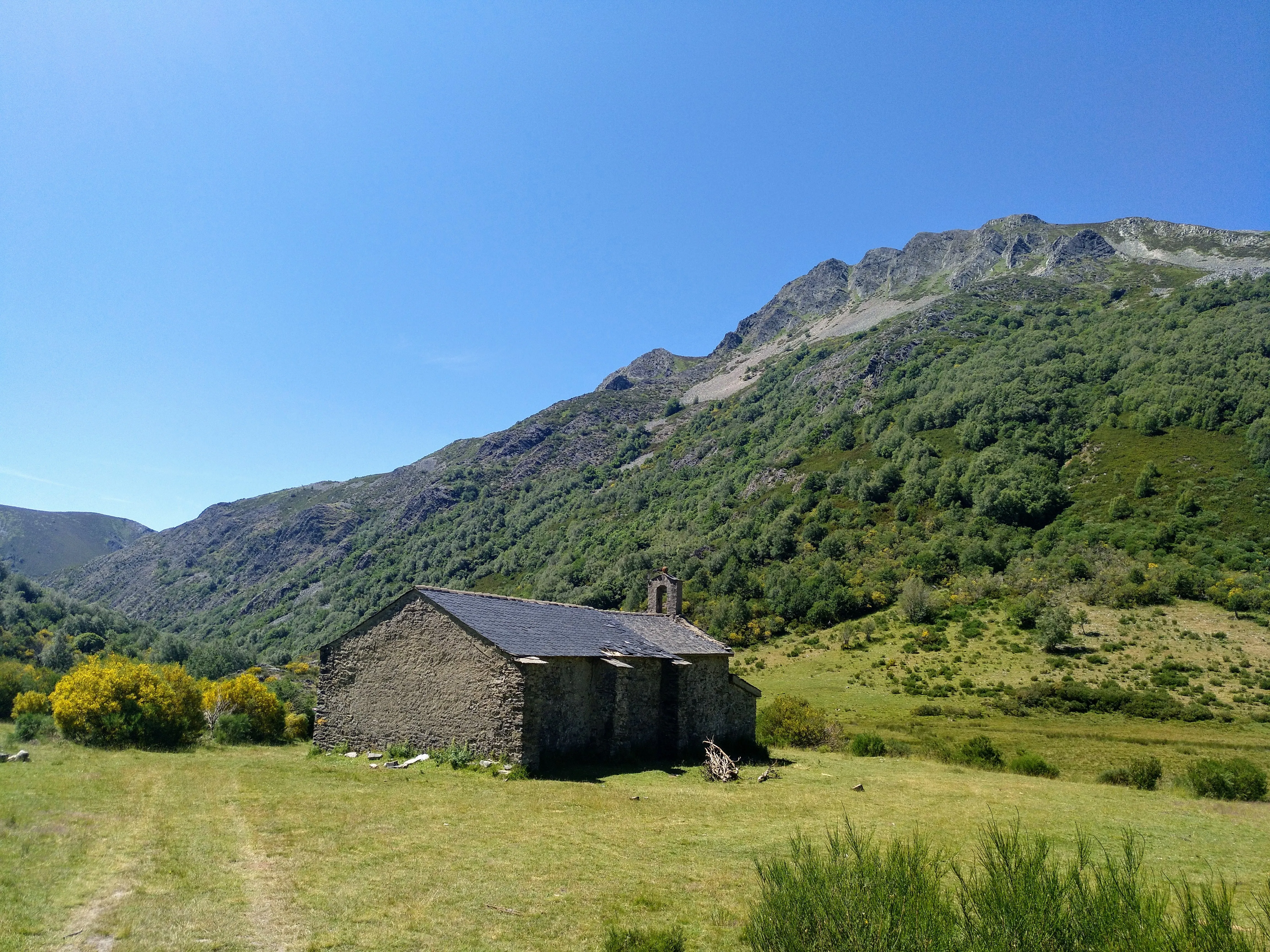
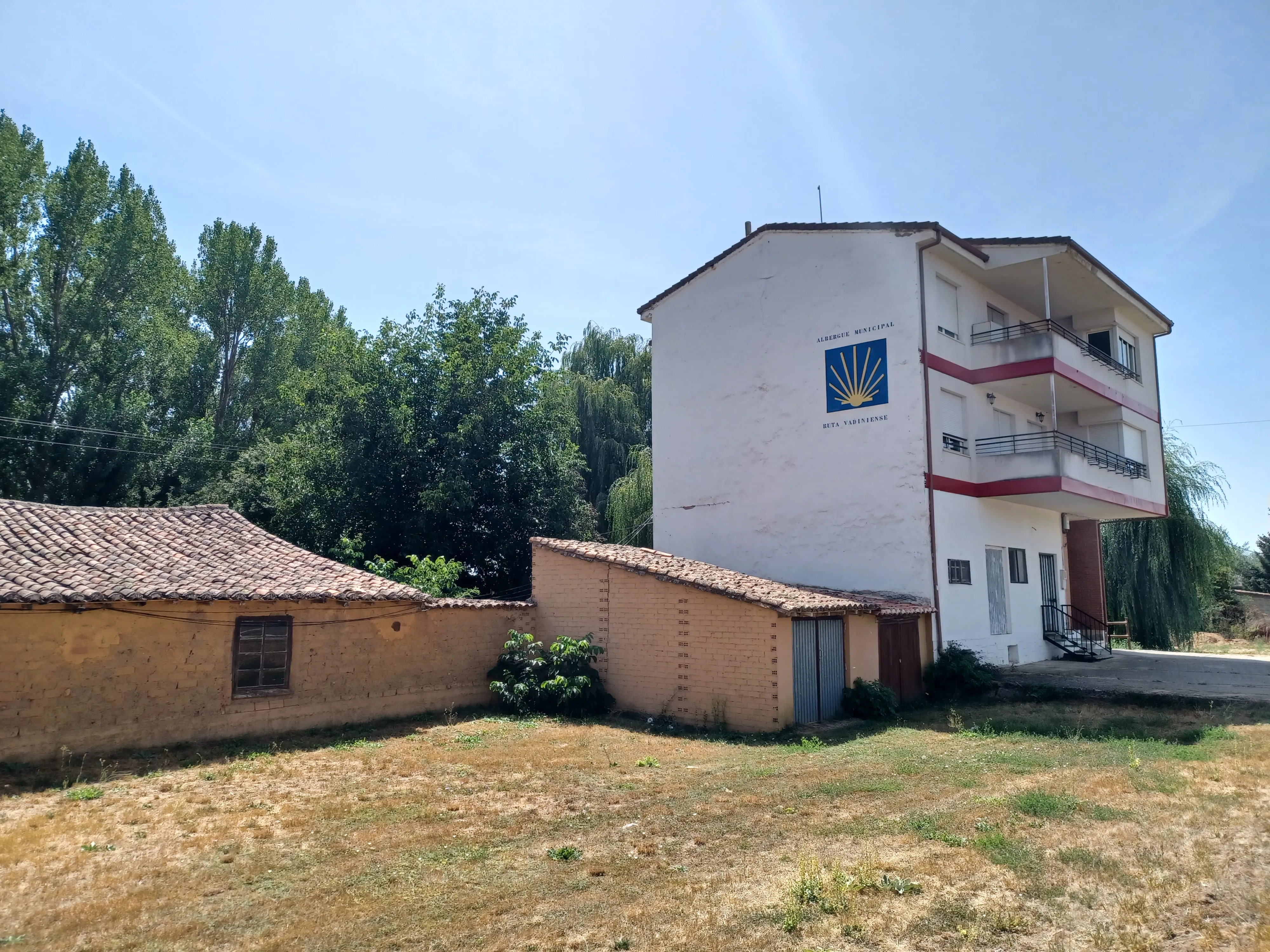
Vadiniense Route
212.3 km
10
High
The Vadiniense Route, or the Santiago Vadiniense Way, is a historical itinerary that connects two important pilgrimage centers: the Monastery of Santo Toribio de Liébana (Cantabria) and the French Way. Starting from Potes, it covers 150 km to Mansilla de las Mulas (León).
Stages of this variant:
Stage 1: St. Vincent of the Harbour to Cades
Stage 2: I couldn't find any information on "Cades a Cicera". Could you provide more context or clarify what it means?
Stage 3: Cicero to Pompey
Stage 4: Potatoes in Spaghetti Sauce
Stage 5: Spider's web around Queen's gate

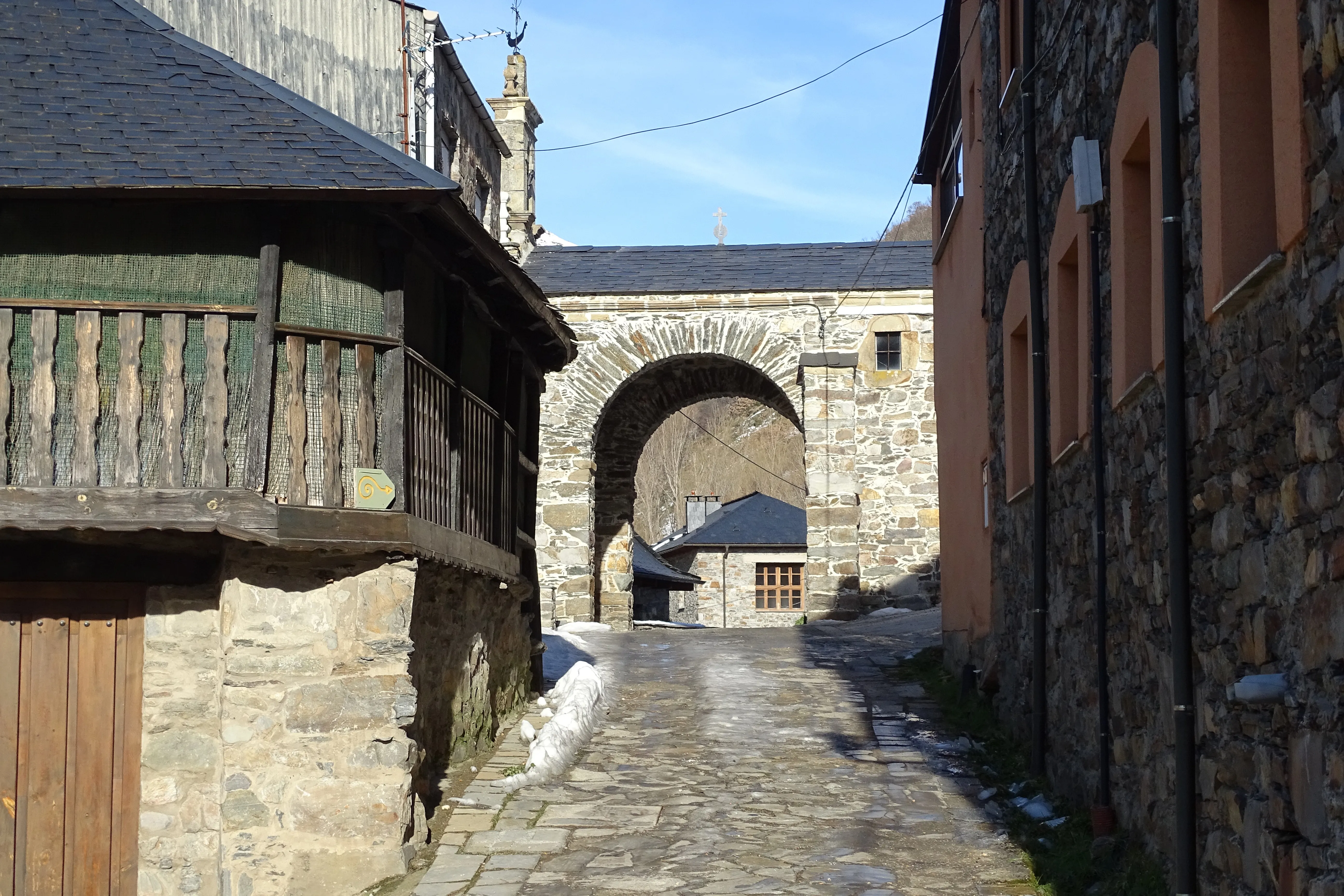
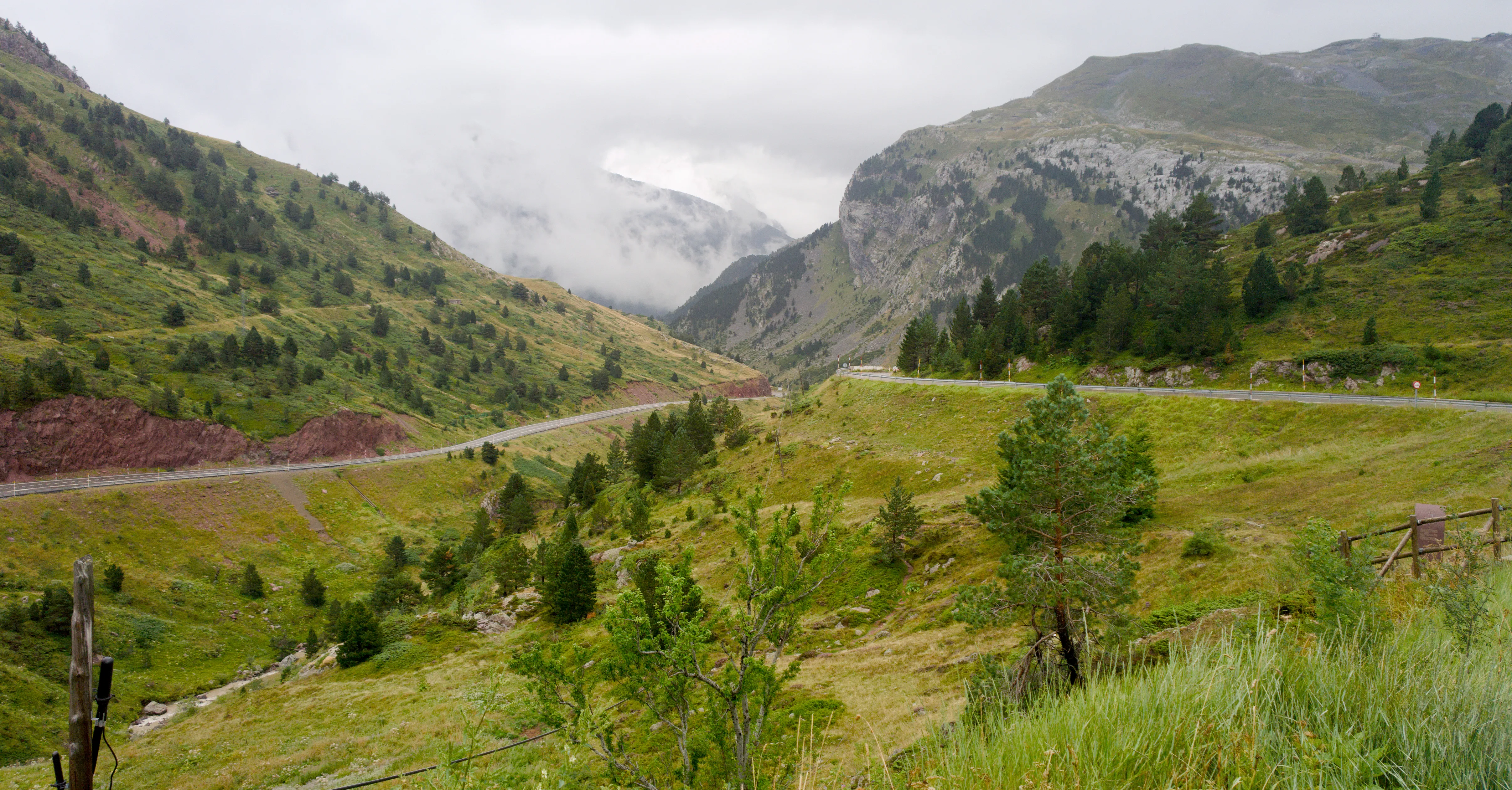
Aragonese Way
165.6 km
6
Media
The Aragonese Way is one of the historical entry routes to the French Way on the Iberian Peninsula. From the Somport Pass, it covers 166 km through beautiful Pirenne landscapes, passing by landmarks such as Jaca and its Romanesque cathedral, the Monastery of San Juan de la Peña or the hermitage of Santa María de Eunate. In Puente la Reina (Navarra), it joins the Way that comes from Roncesvalles.
It is a route with an immense Romanesque patrimony and less pilgrim traffic, which offers a more intimate and authentic experience.
Stages of this variant:
Stage 1: Port of Jaca
Stage 2: Jaca to Arrés
Stage 3: Arrés to Ruesta
Stage 4: To Sue
Stage 5: Song of Monreal
Valley of Mena Trail
155 km
7
Media
The Way of the Mena Valley is a Jacobean route of approximately 155 km that serves as a connection between Bilbao and the city of Burgos, where pilgrims can join the French Way. Its name comes from the Mena Valley, a Burgalese region of great scenic beauty and rich cultural heritage that crosses it.
Stages of this variant:
Stage 1: Bilbao to Guémené
Stage 2: Güeñes to Villasana de Mena
Stage 3: Villasana de Mena to Medina de Pomar
Stage 4: Medina of Pomar to Quintana de Valdivieso
Stage 5: Quintana de Valdivieso to Cernegui
Road of the Blendios
131.3 km
6
Media
The Calzada of the Blendios is an historic route that remembers the ancient communication routes used by the Romans. The modern itinerary, approximately 131 km long, starts in Herrera de Pisuerga (Palencia) and heads north, crossing the Palentina Mountains and Cantabria to reach Suances. This path allows pilgrims to connect with the French Way through a route of great scenic beauty. Although less well-known, it offers an experience of pilgrimage with a rich Romanesque heritage and natural beauty, ideal for those seeking an alternative to more popular routes.
Stages of this variant:
Stage 1: Herrera de Pisuerga to Santa María de Mave
Stage 2: St Mary of Mave to Aguilera in Campoo
Stage 3: Agullar de Campoo to Reinosa
Stage 4: Reinosa to Barcena de Pie de Concha
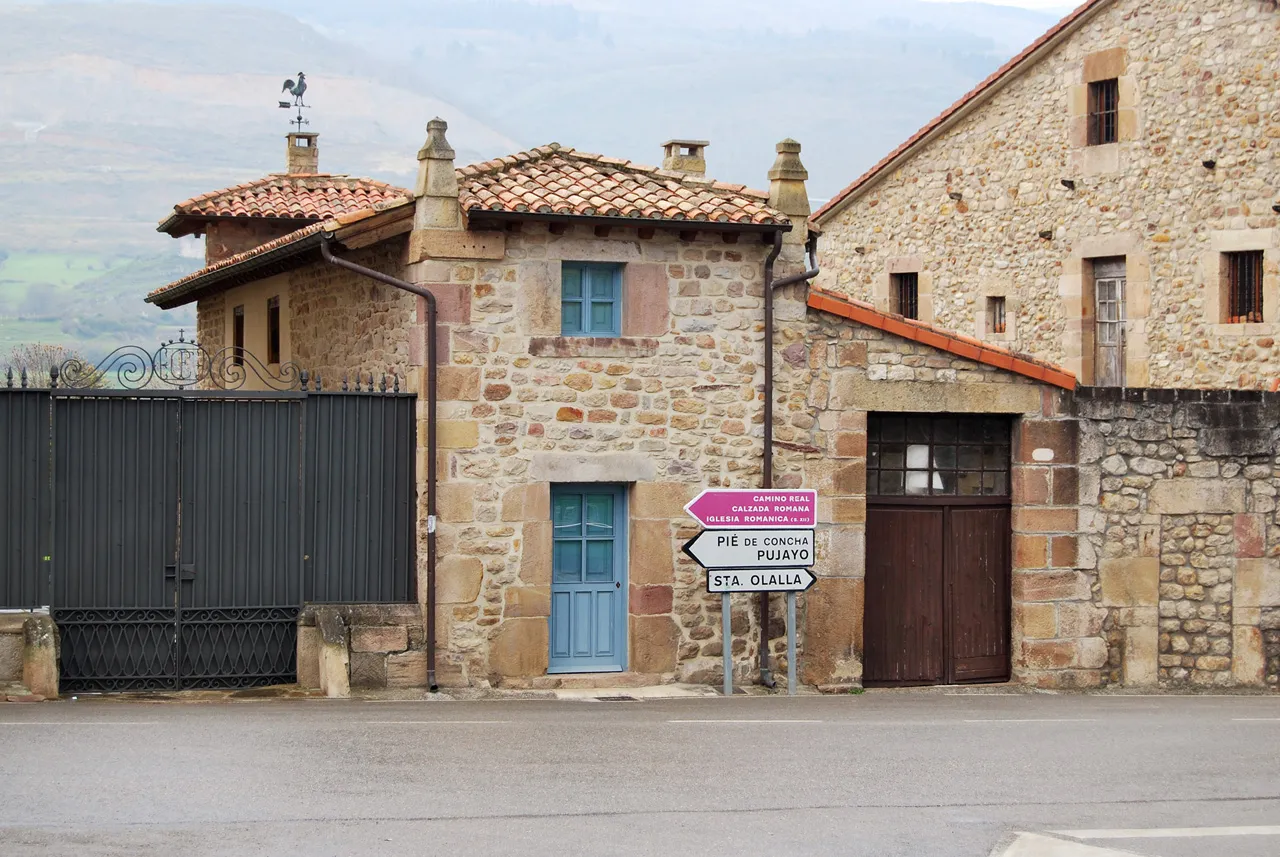
Stage 5: Barcena de Pie de Concha to Los Corrales de Buelna
Way of Salvador
119.4 km
6
High
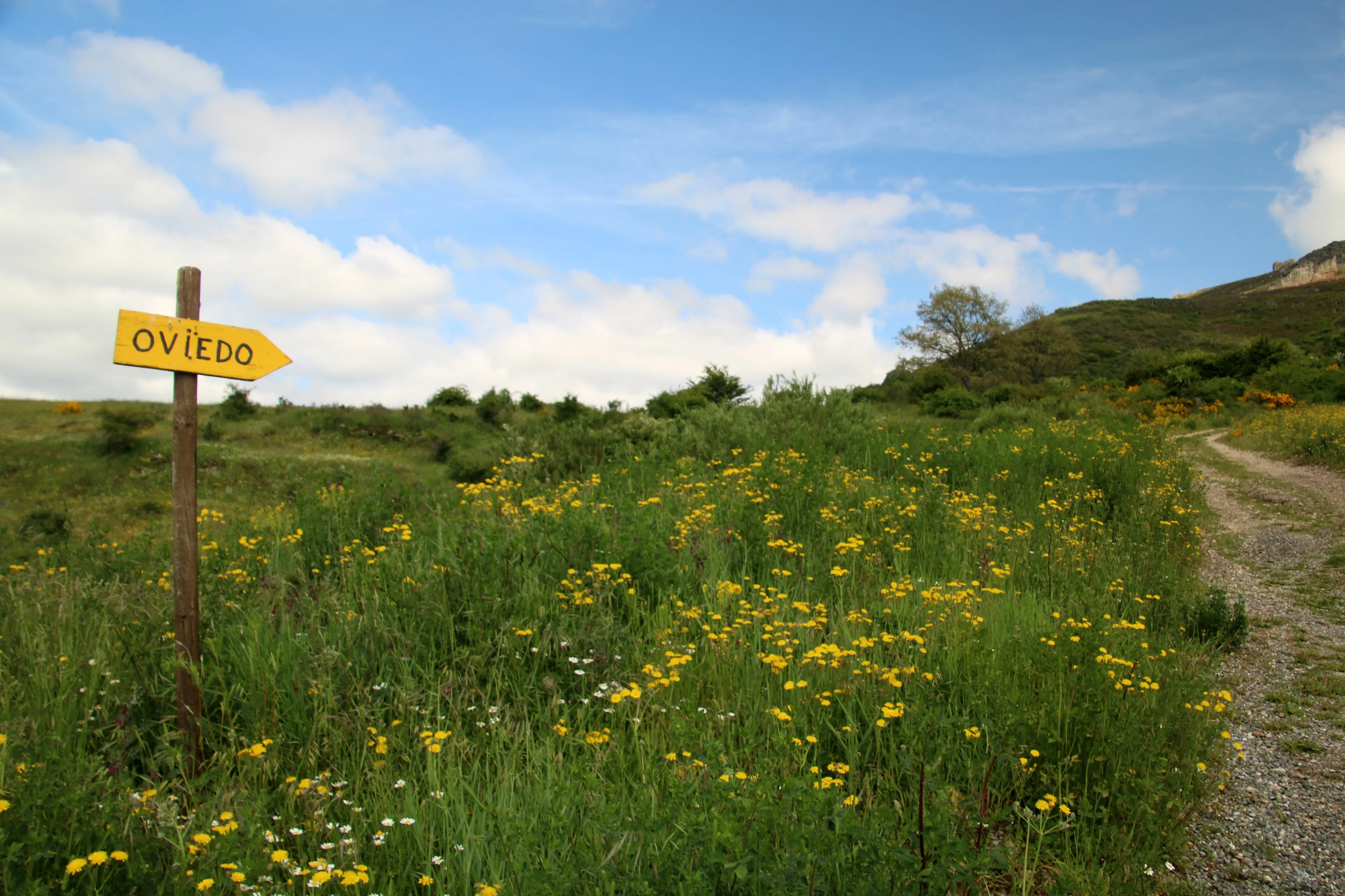
The Way of Salvador, or the Way of St. Salvador, is a historic 120 km route that connects León to Oviedo, allowing pilgrims on the French Way to connect with the start of the Primitive Way. It crosses the Cantabrian Mountains, which implies considerable physical challenge but offers spectacular mountain landscapes.
Its motto "Who goes to Santiago and does not go to Salvador, visits the servant and not the Lord" reflects the historical importance of Oviedo Cathedral and its relics. It is a short but intense route, ideal for pilgrims with good physical preparation who seek to add a mountain component and deep historical connection to their pilgrimage.
Stages of this variant:

Stage 1: Leon at La Robla
Stage 2: Robla to Poladura of the Third
Stage 3: Adhesion of Third to Pajares
Stage 4: Hair to Pola de Lena
Stage 5: Pola de Lena to Mieres
Way of Baztan
108.4 km
5
Media
The Baztán Way is an ancient and beautiful Jacobean route that connects Bayonne (France) with Villava, at the gates of Pamplona, where it links up with the French Way. With a 108 km journey, it crosses the Pyrenees via a lower pass than Roncesvalles, following the course of the Bidasoa River and crossing the spectacular Baztán Valley.
It is known for its green landscapes, traditional farmhouses, and rich Navarran culture. It offers a shorter and less crowded alternative to enter Spain, ideal for those seeking a different Pirencean experience and closer contact with nature.
Stages of this variant:
Stage 1: Bayonne to Suraide
Stage 2: Souraide to Amaiur/Mya
Stage 3: I'm not familiar with this phrase. Can you provide more context or information about it?
Stage 4: Berrone to Olague
Stage 5: Olagüe to Pamplona
Elevation Profile of
Elevation Profile of The French Way
Visualize the ups and downs of the route.
Loading elevation profile...
Error loading elevation profile or altitude data not available.
Your trip with Ourway
Everything you need for your Camino
No hassle. Your perfect route, from start to finish.
Accommodation
Selected hotels and hostels at every stage
Luggage transfer
Your backpack travels from stage to stage
Camino Guide
Detailed map with directions and services
24h Support
Team available for any unforeseen event
Pilgrim credential
Official documentation included
No commitment
Free personalized consultation
Stages
Stages of The French Way
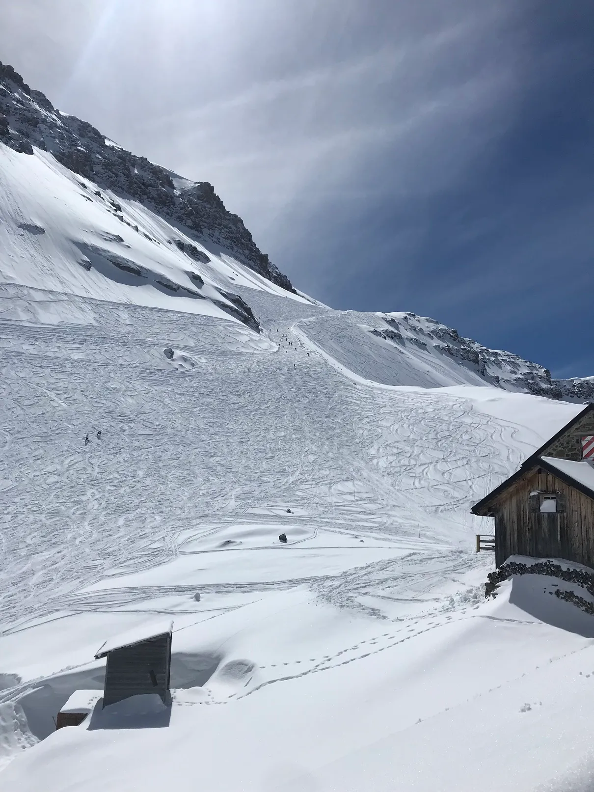
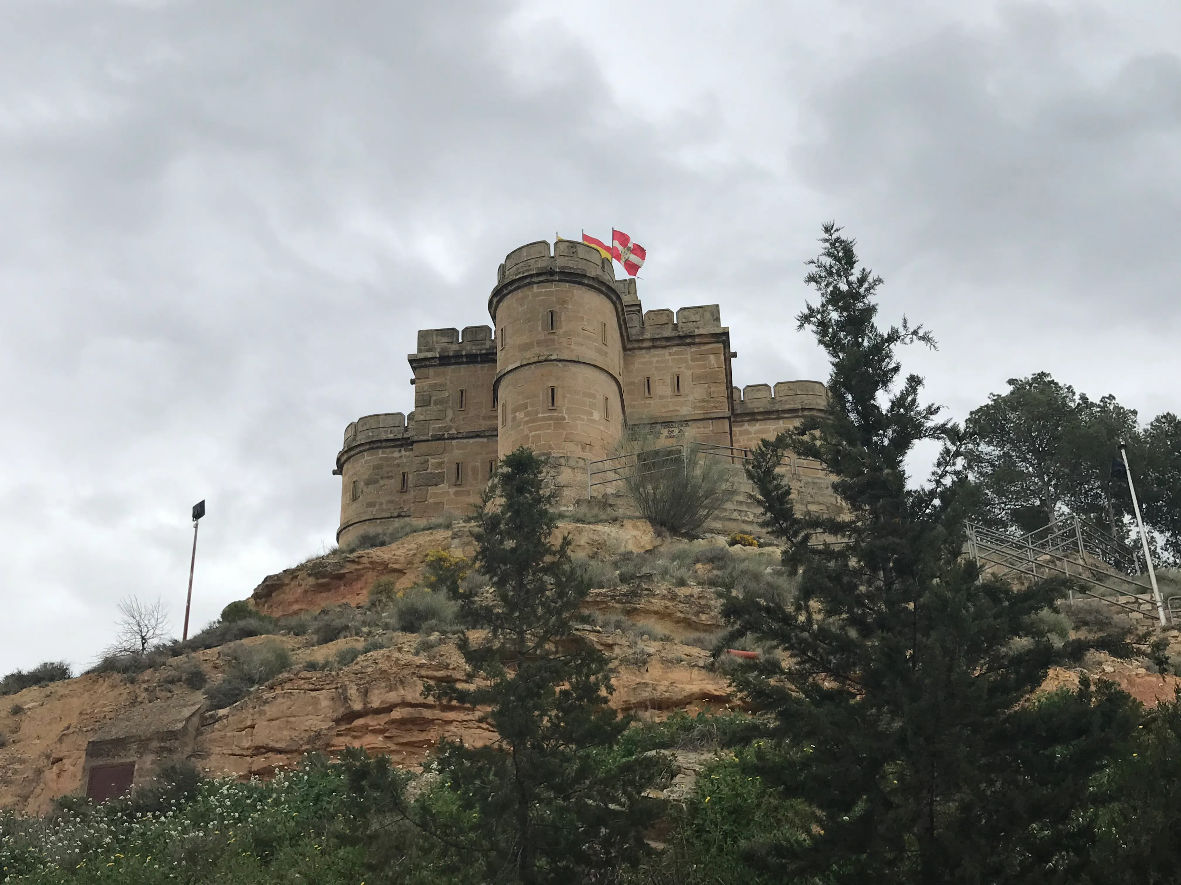
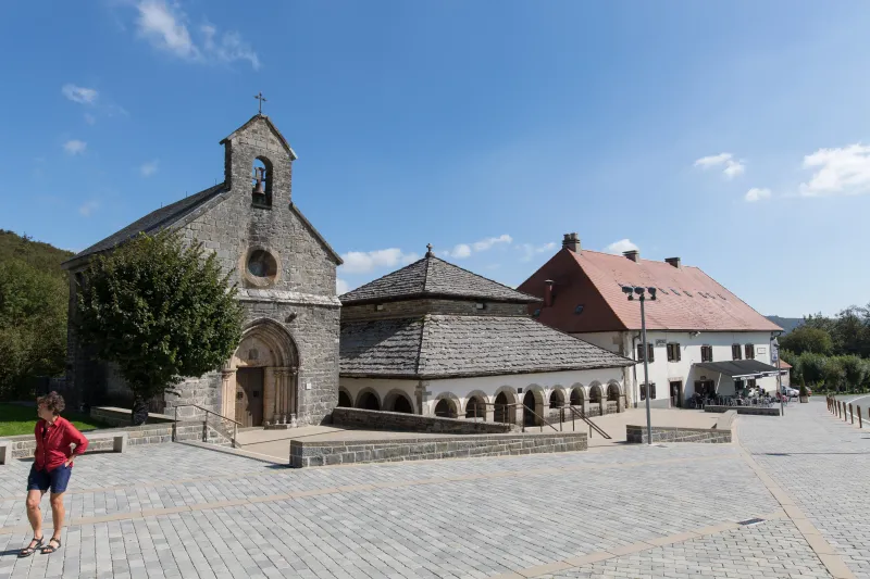
Saint-Jean-Pied-de-Port → Roncesvalles
Considered the queen stage of the Camino Francés, this section is a monumental challenge that marks the beginning of pilgrimage for thousands of people. The journey involves crossing the Pyrenees, a n...
Roncesvalles → Zubiri
After the exhausting Pyrenean stage, this section offers a predominantly descending profile, a balm for the tired legs of pilgrims. The route winds through a dreamlike landscape, passing through some ...
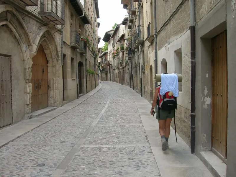
Zubiri → Pamplona
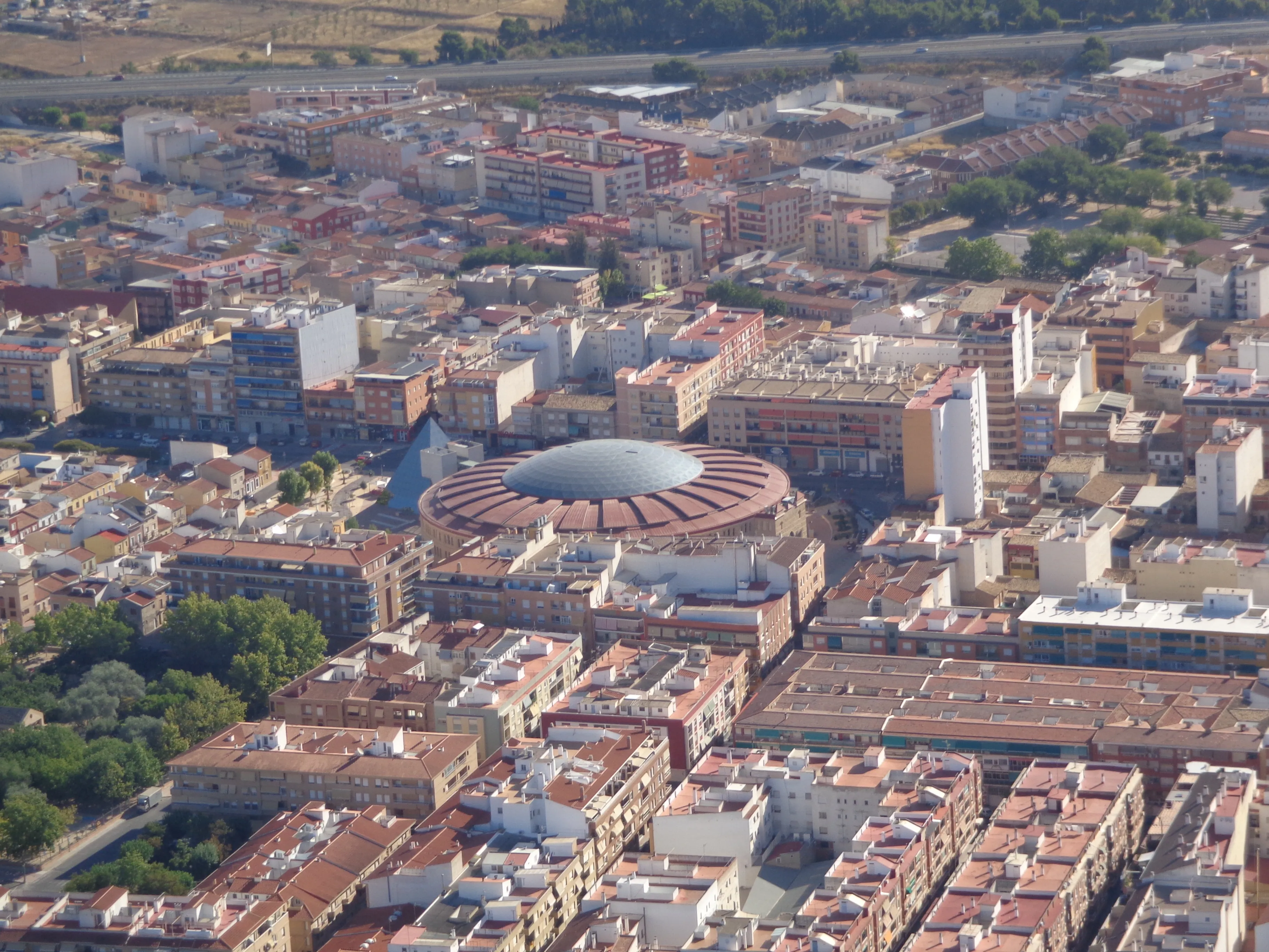
This stage marks the exciting transition from rural surroundings to the first major city on the Camino Francés: Pamplona. Following largely along the course of the Arga River, the route traverses a ri...
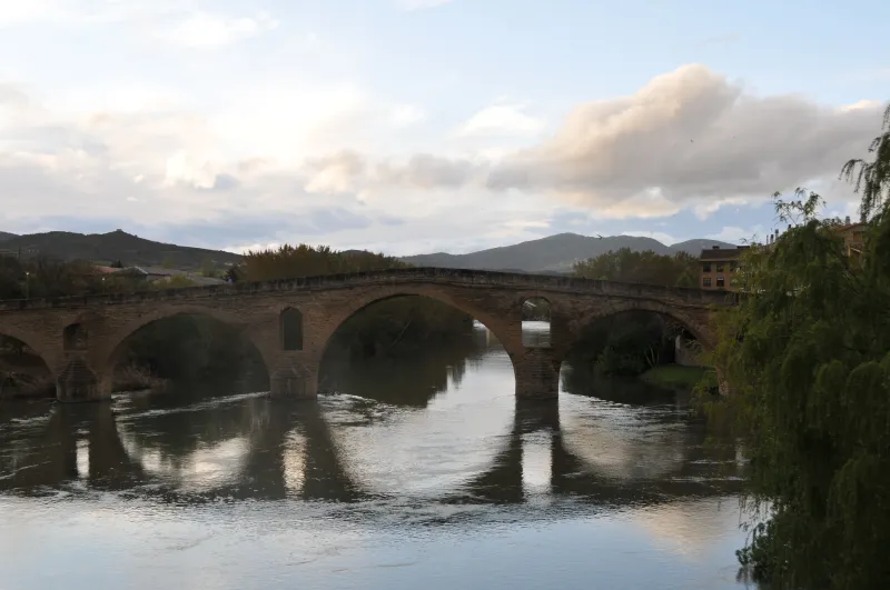
Pamplona → Puente la Reina
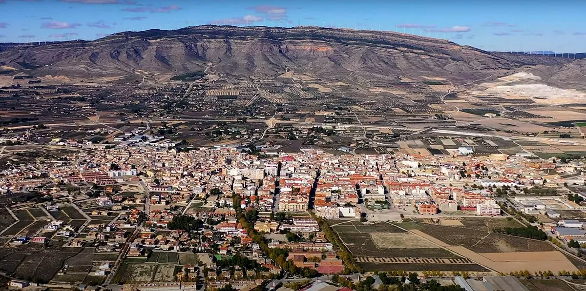
This stage is one of the most iconic in Navarre, marked by the ascent to Alto del Perdón. From Pamplona, the route passes through the university area and villages such as Cizur Menor. The ascent to th...
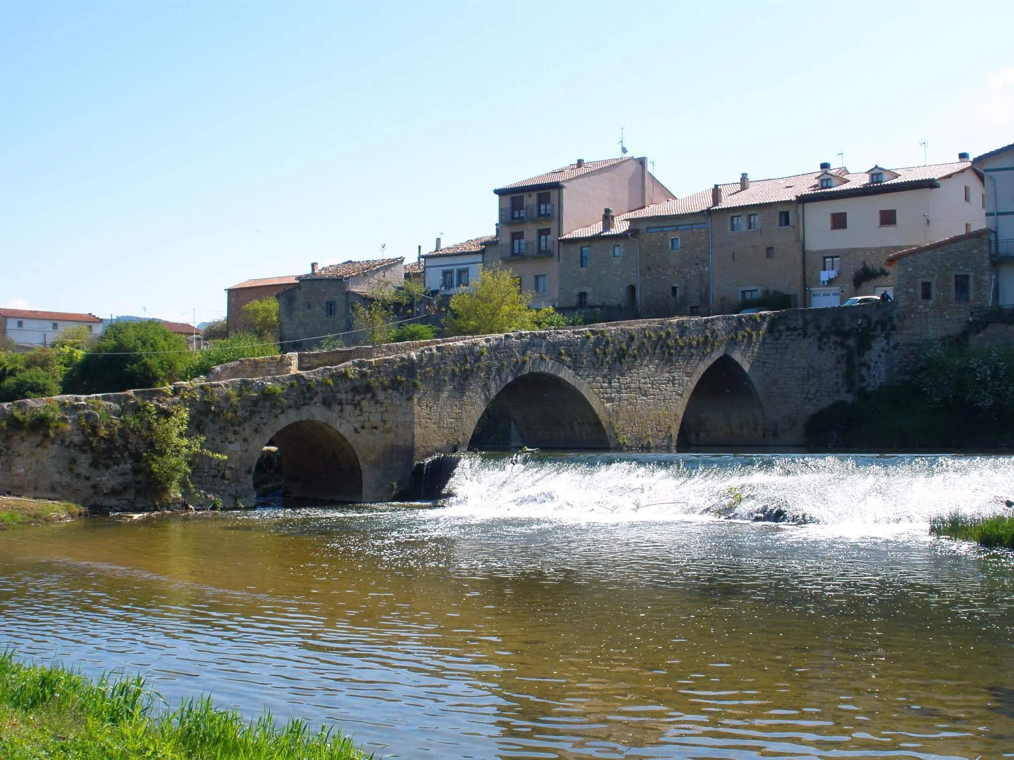
Puente la Reina → Estella
The stage connecting Puente la Reina with Estella is a beautiful 22-kilometer route that ventures into the heart of medieval Navarre. The landscape is dominated by fields of grain, vineyards and olive...
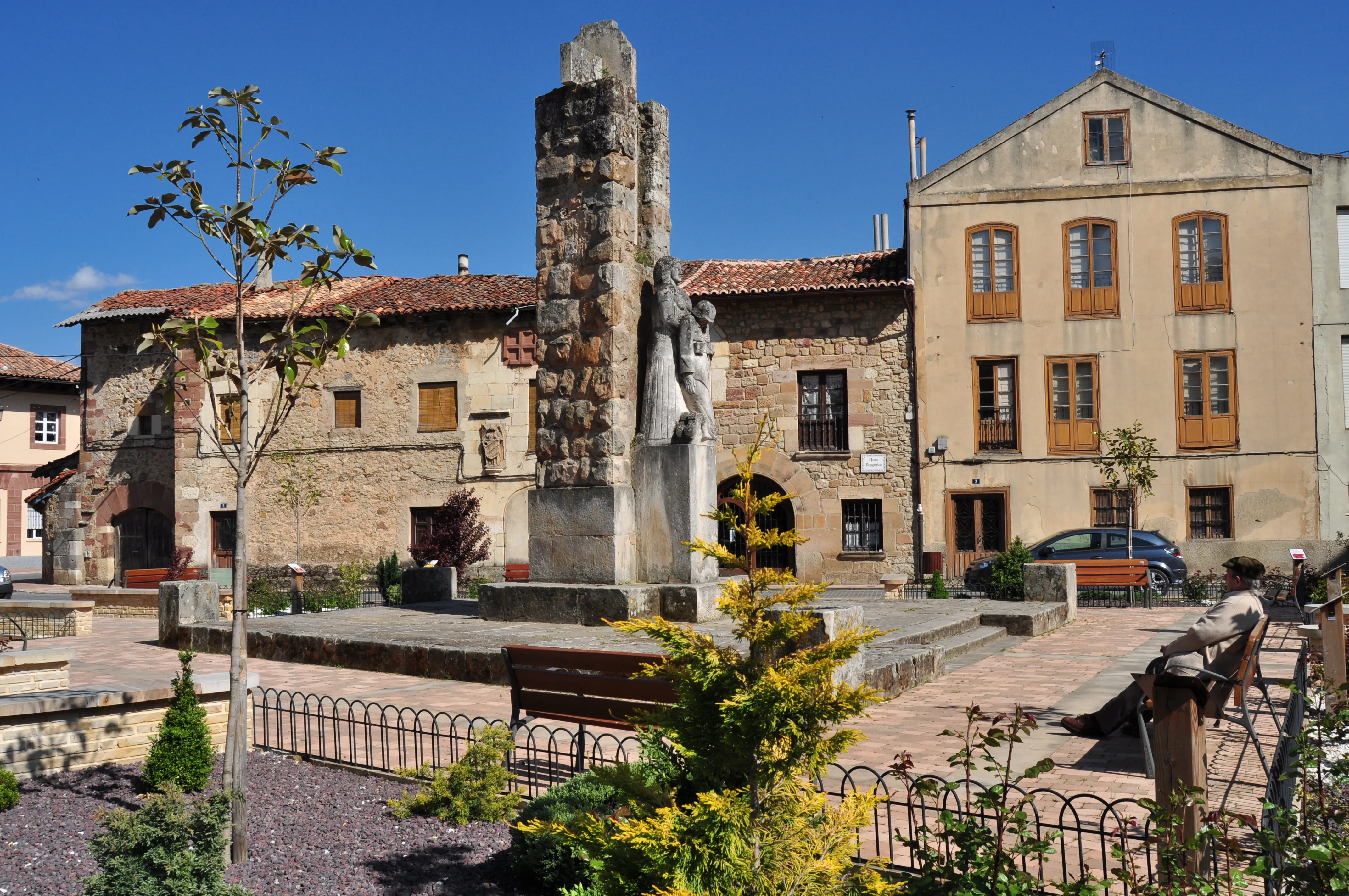
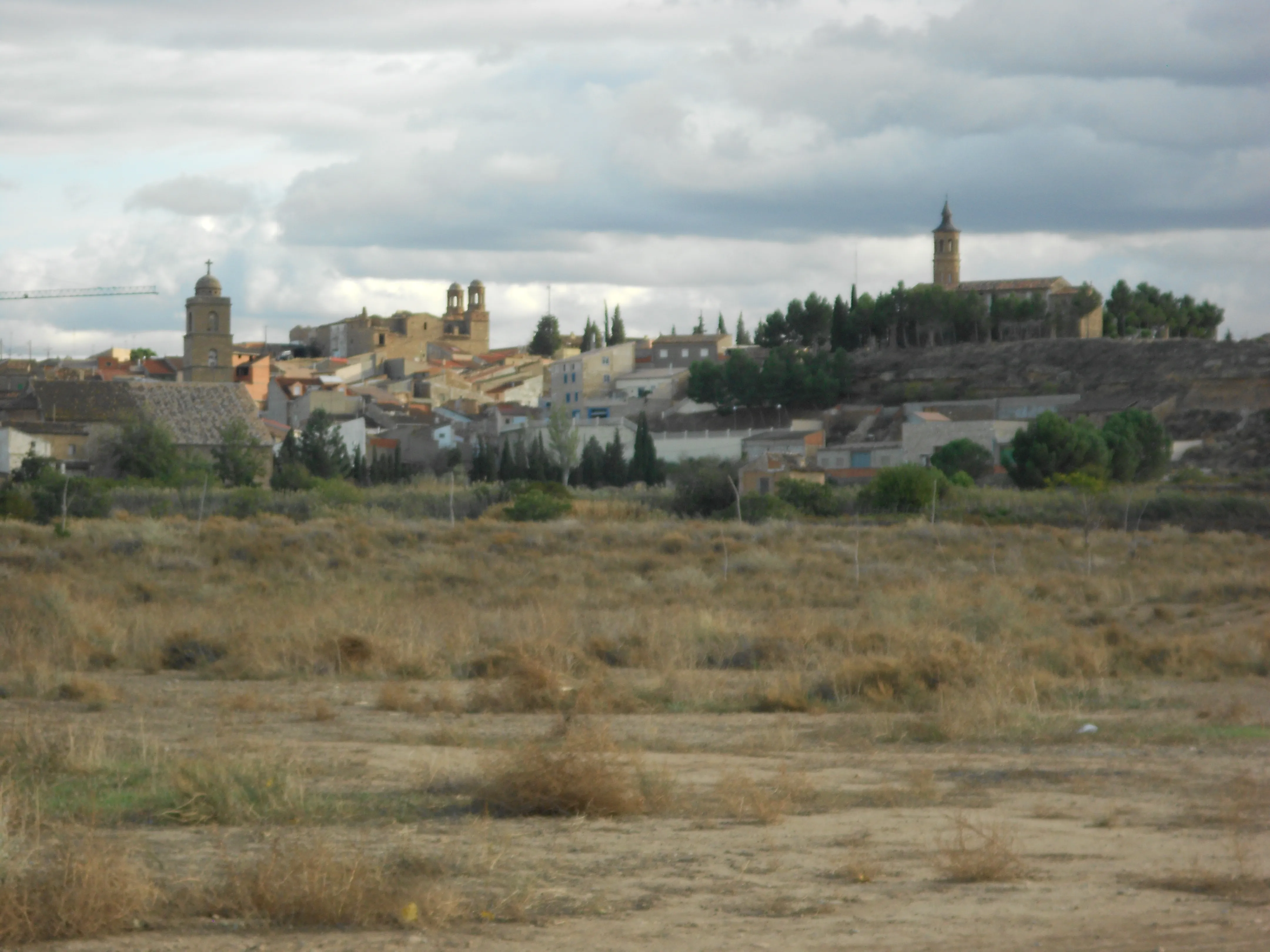
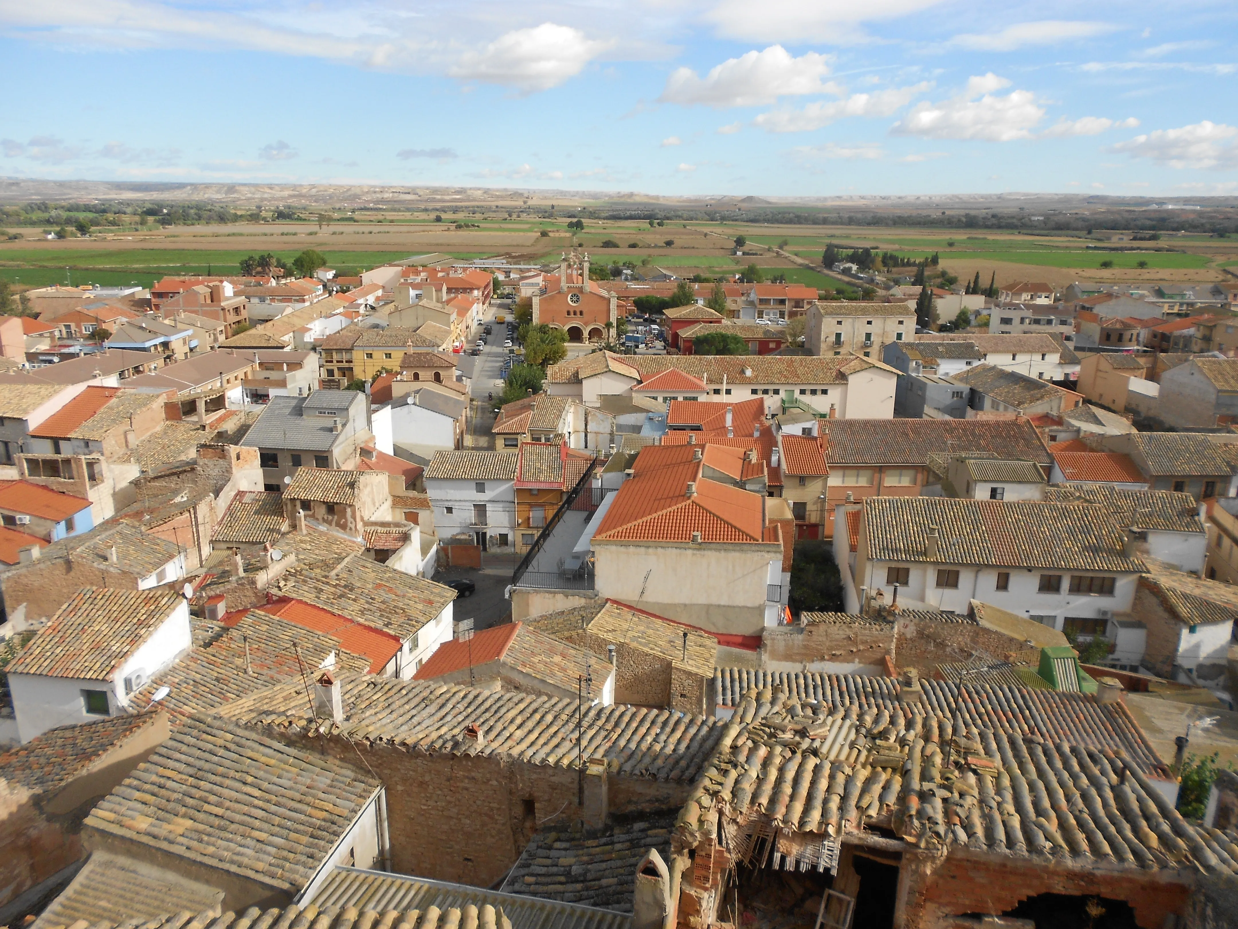
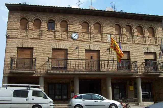
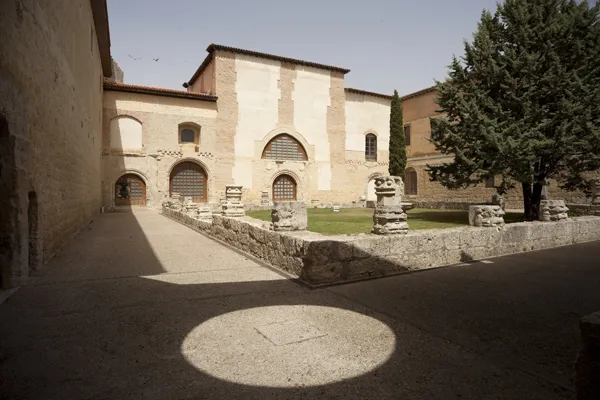
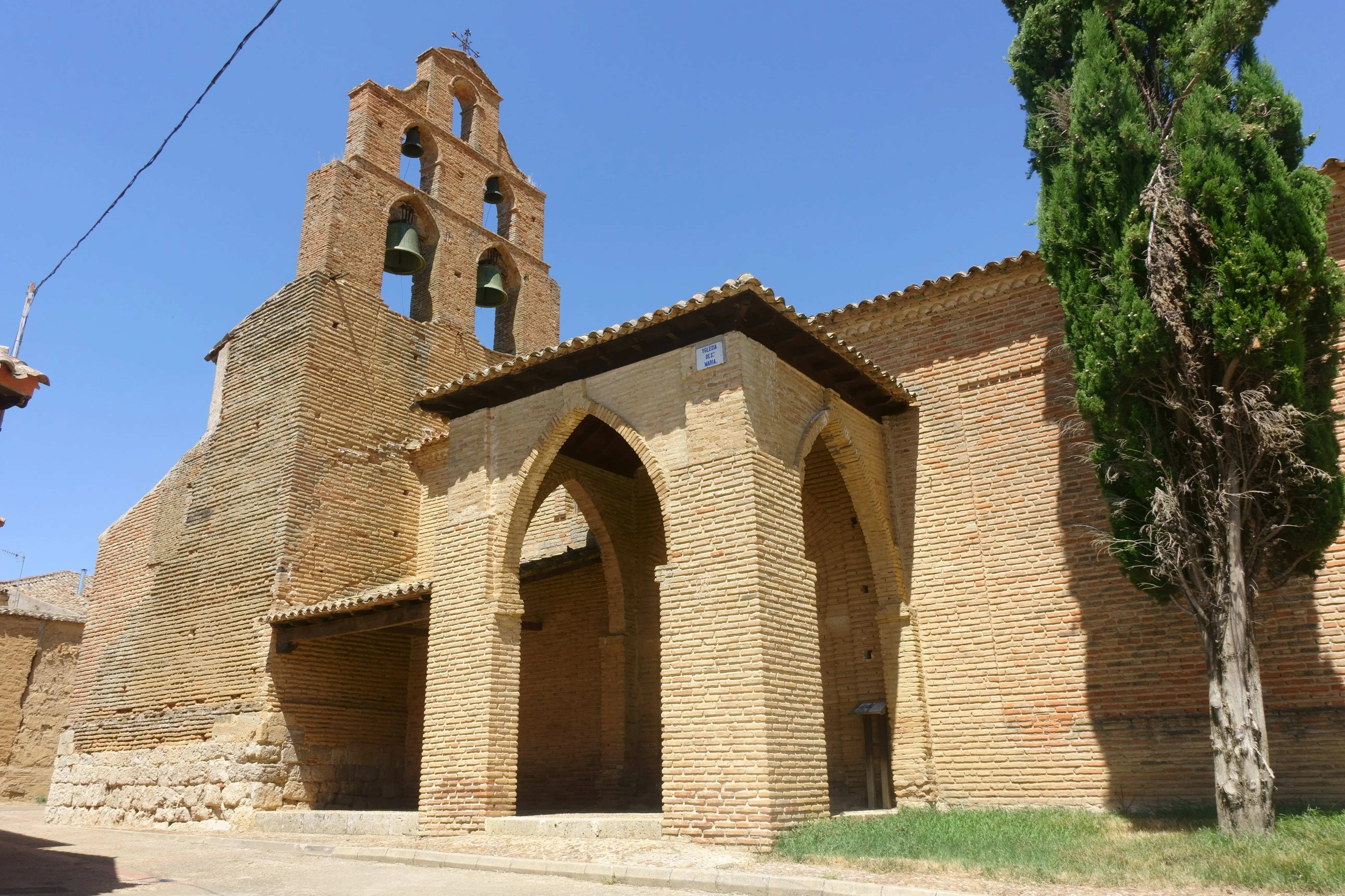
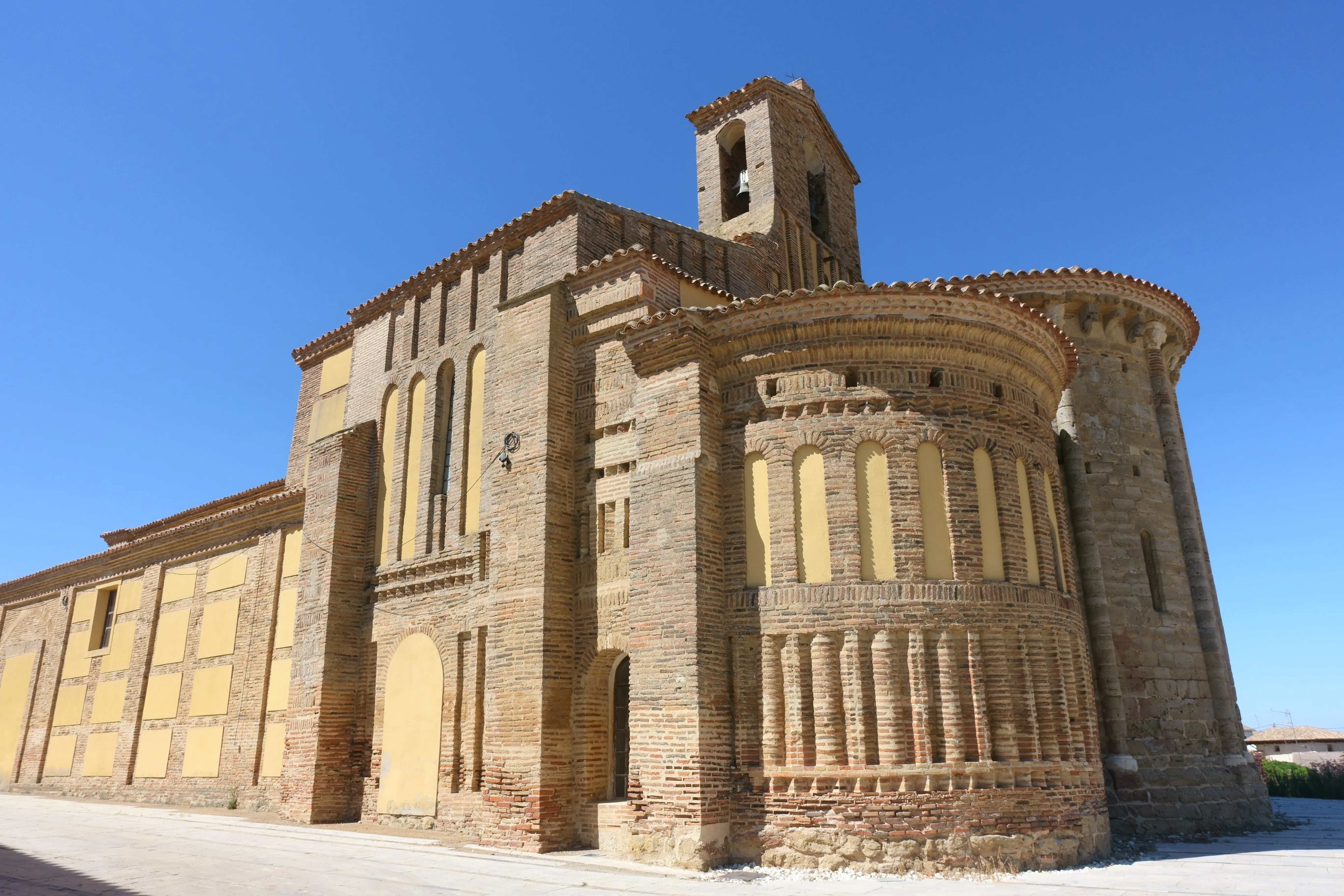
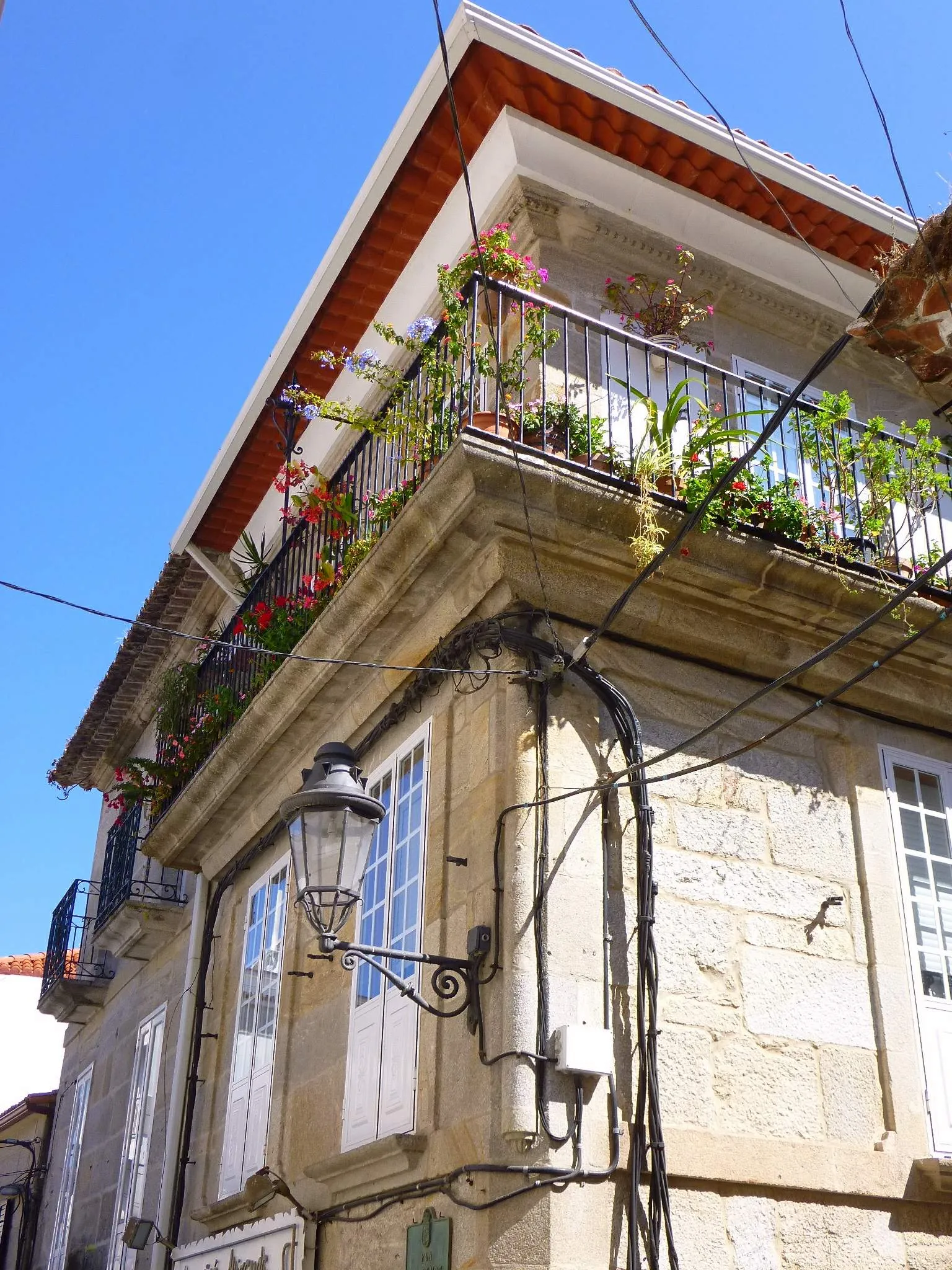
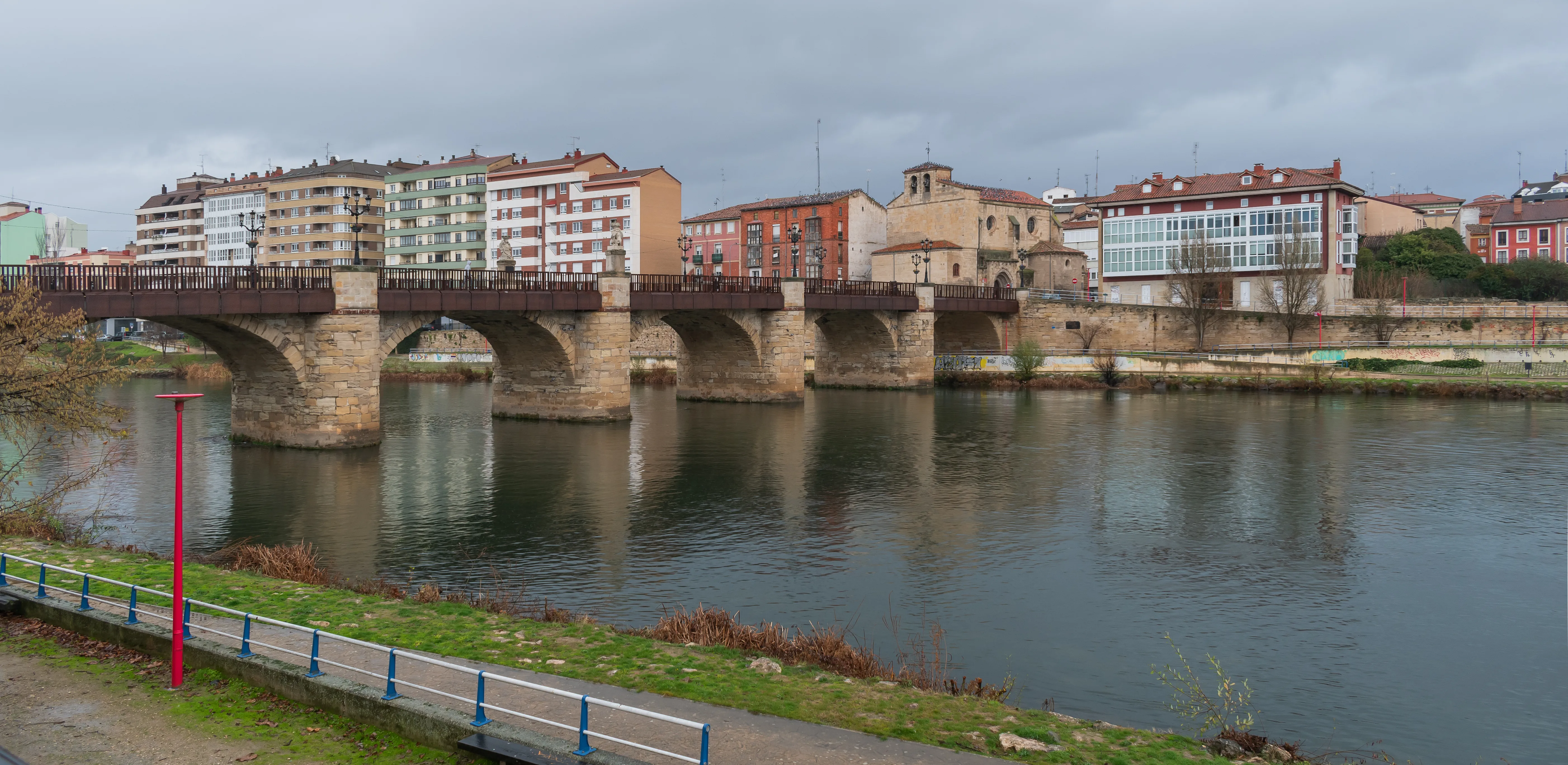
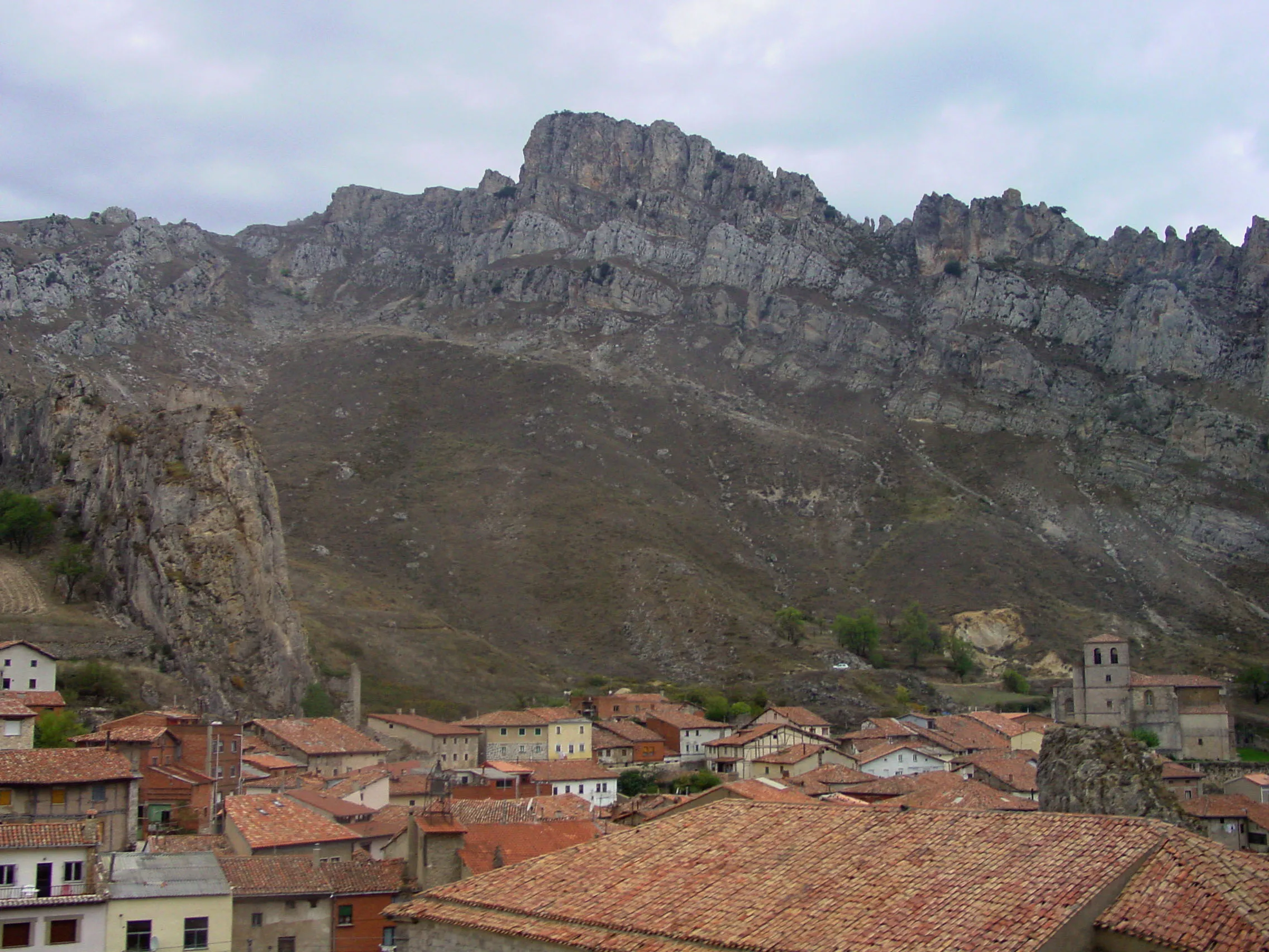
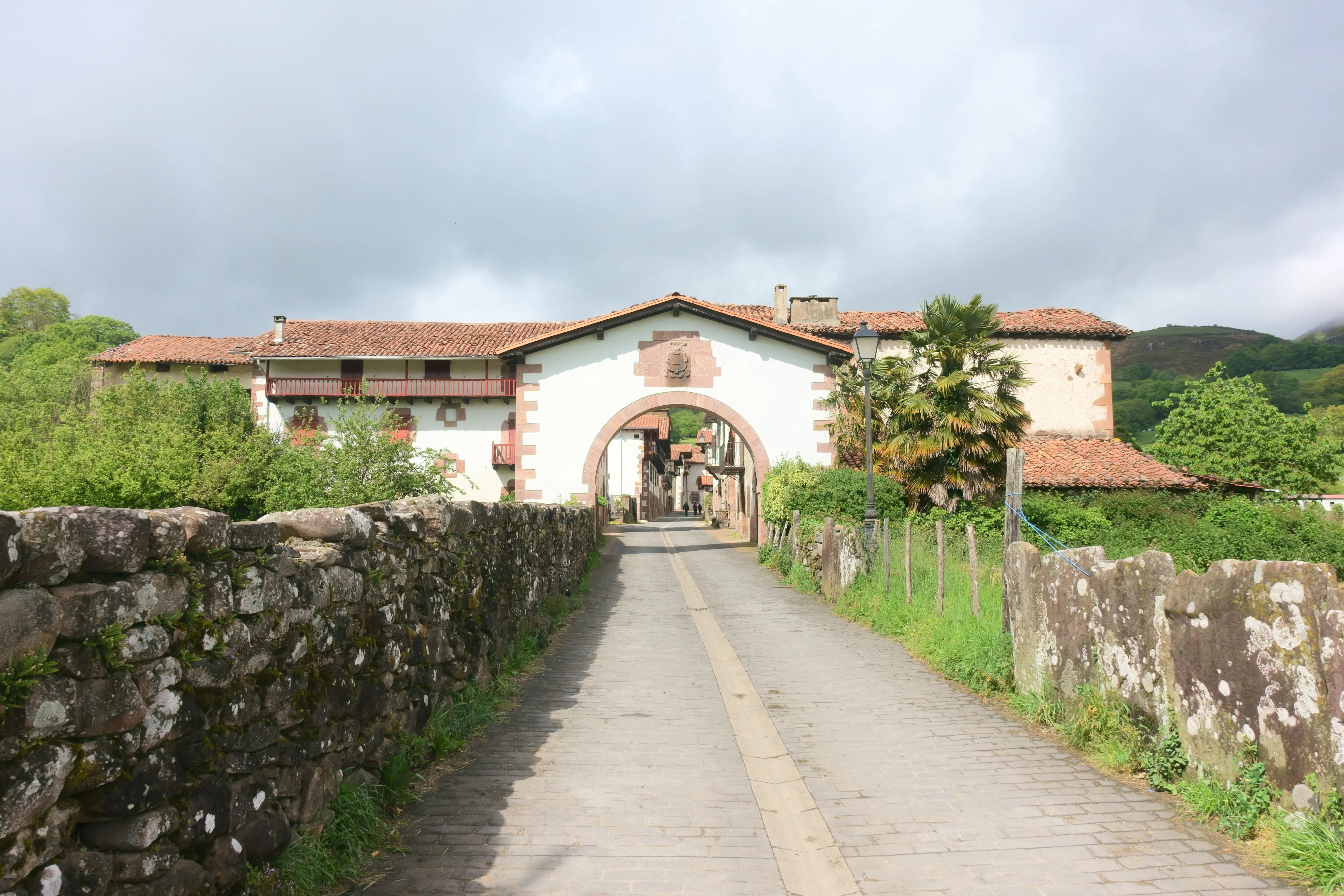
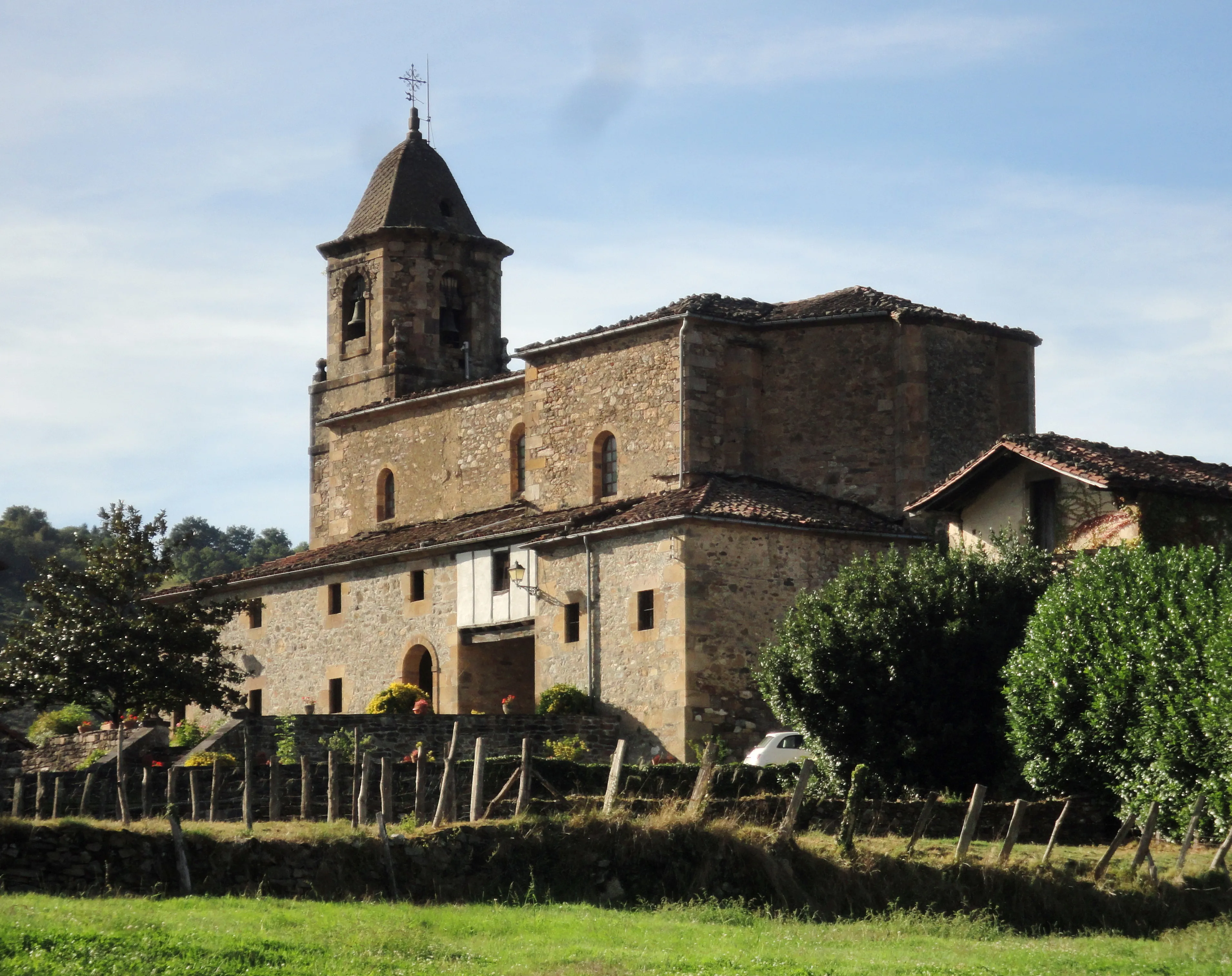
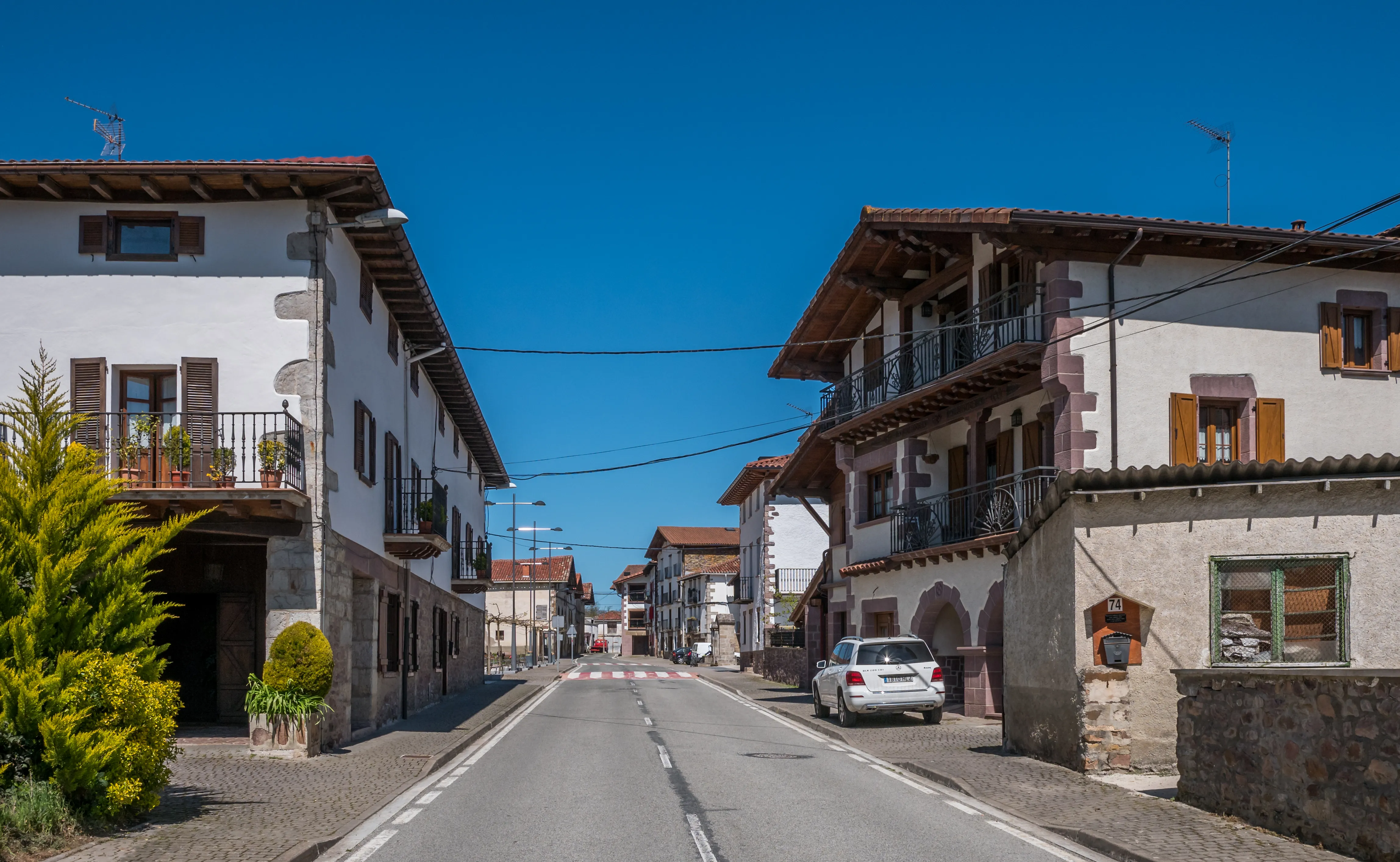
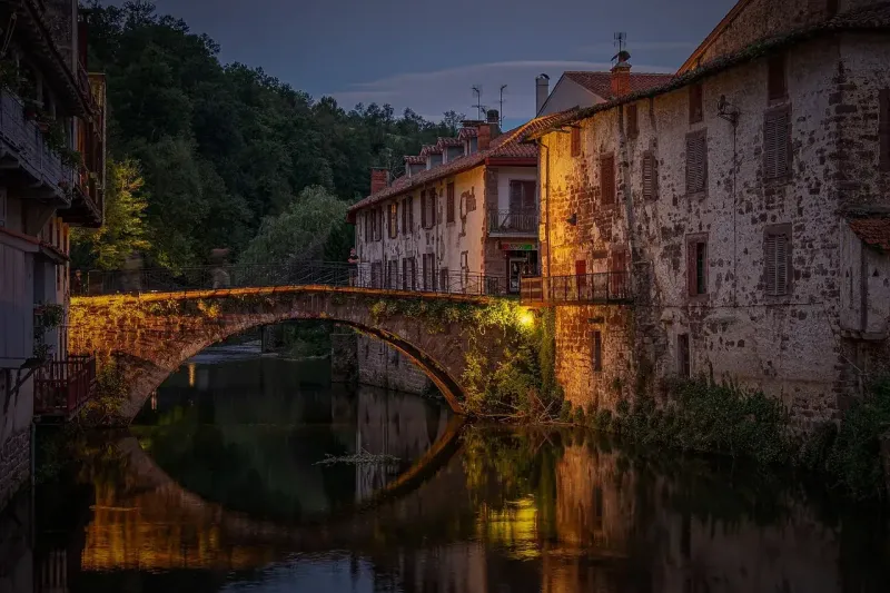
Towns
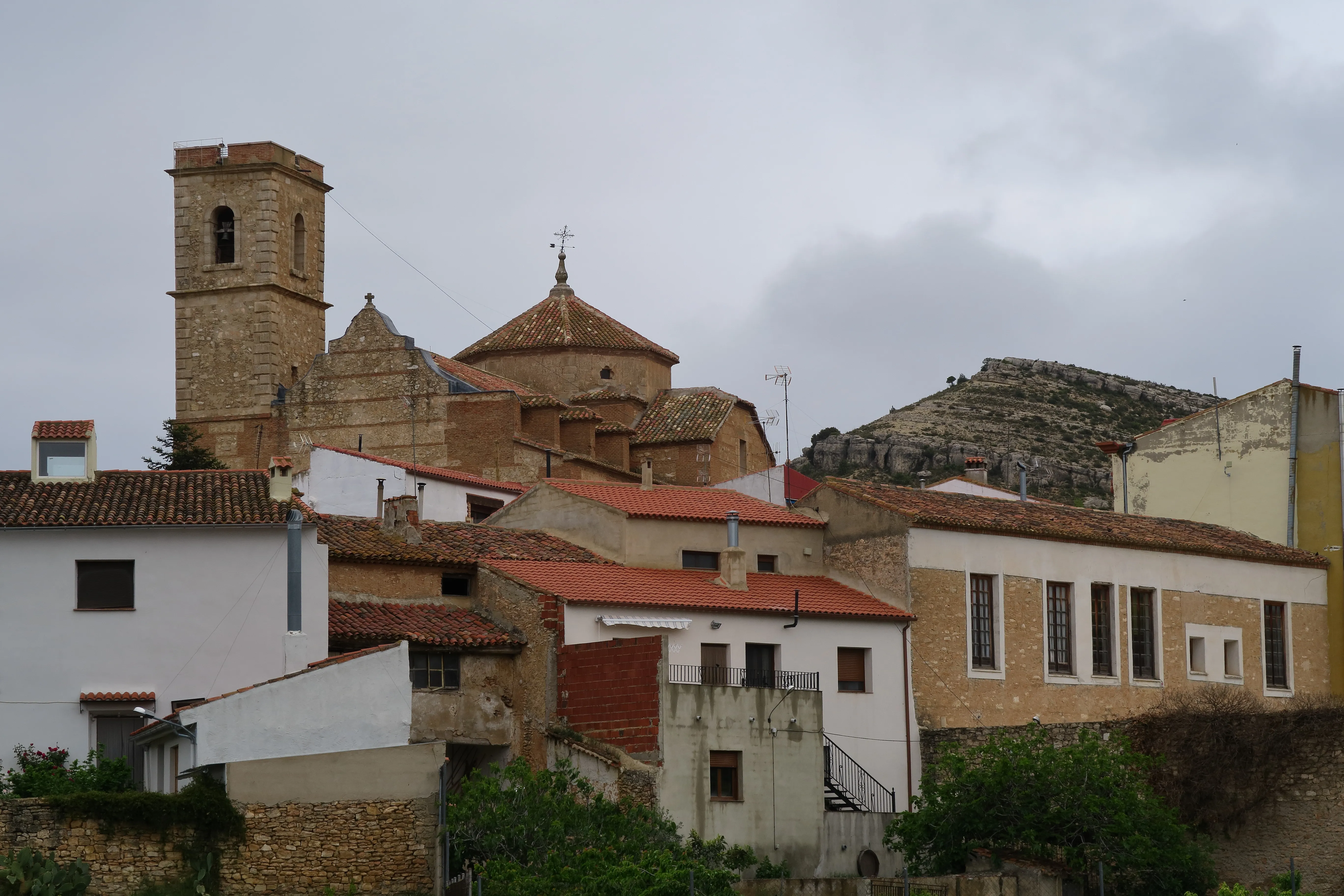
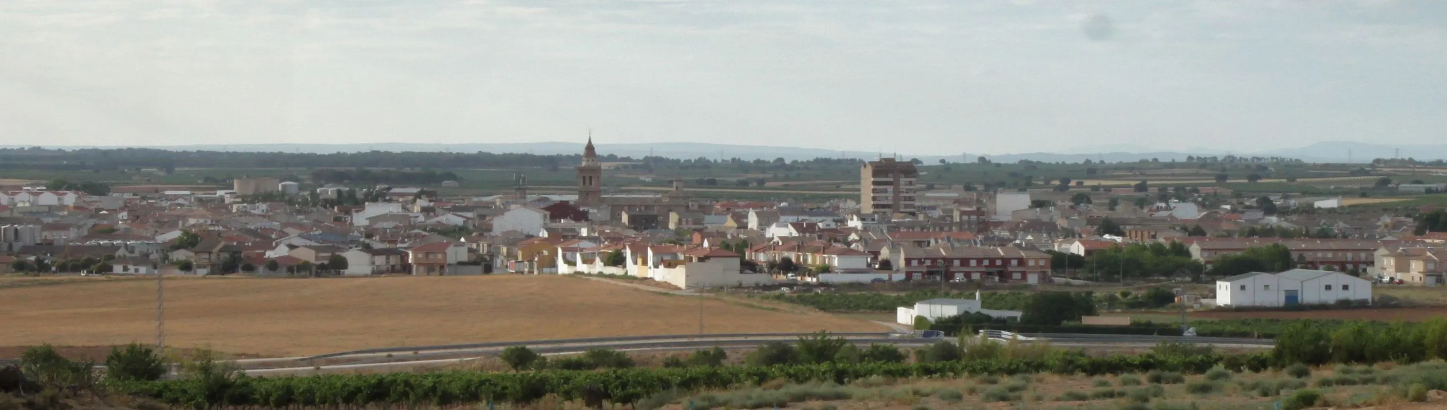
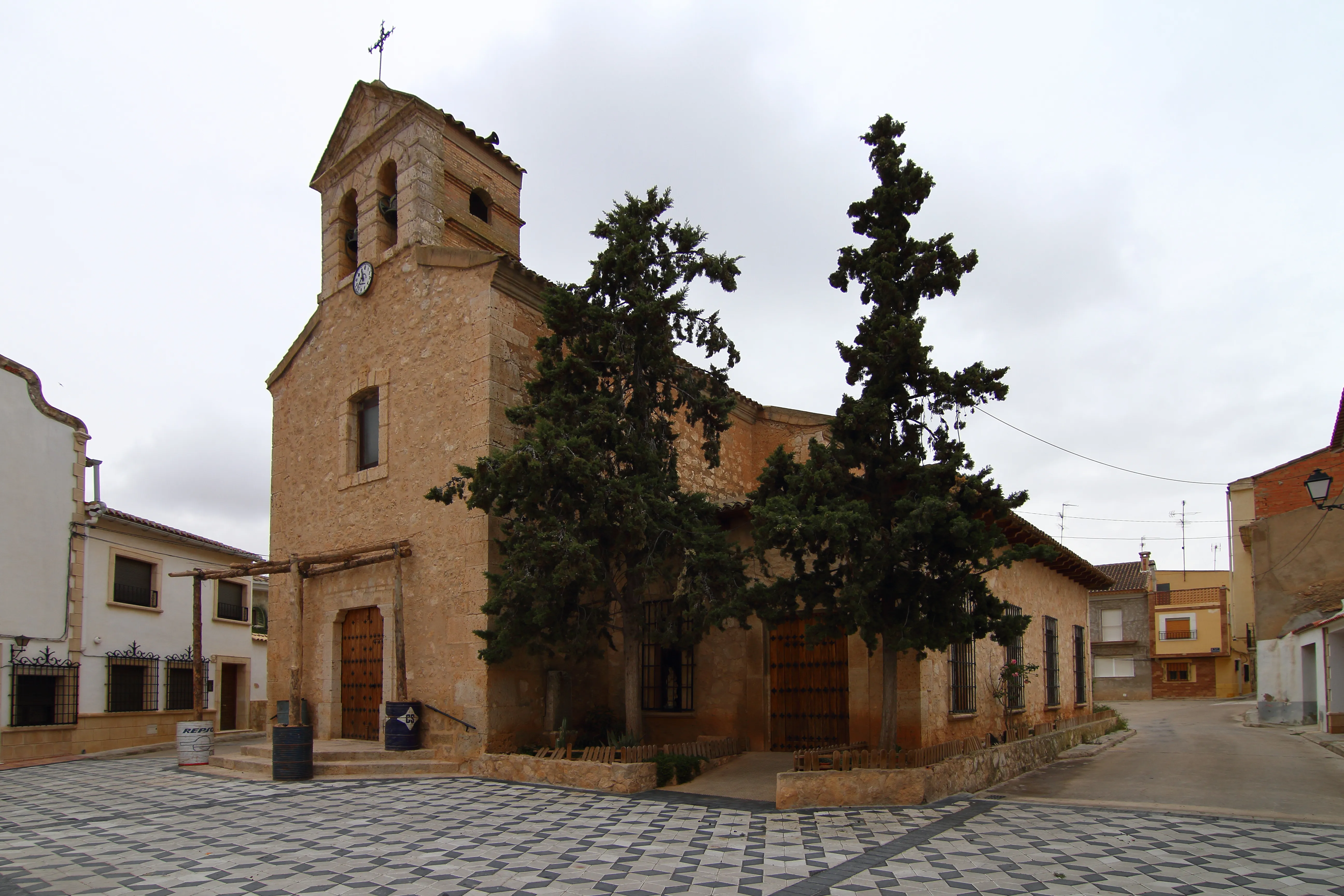
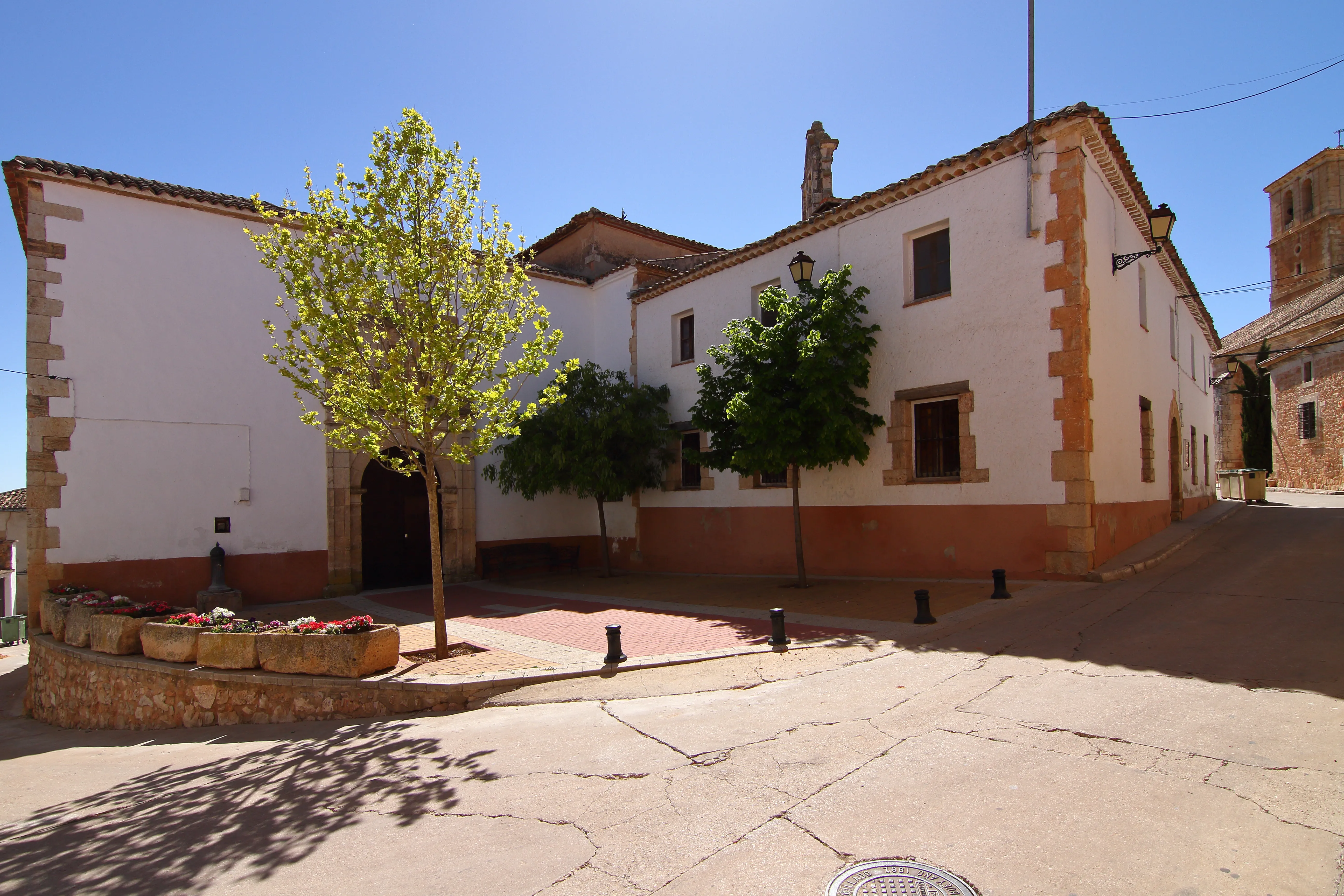
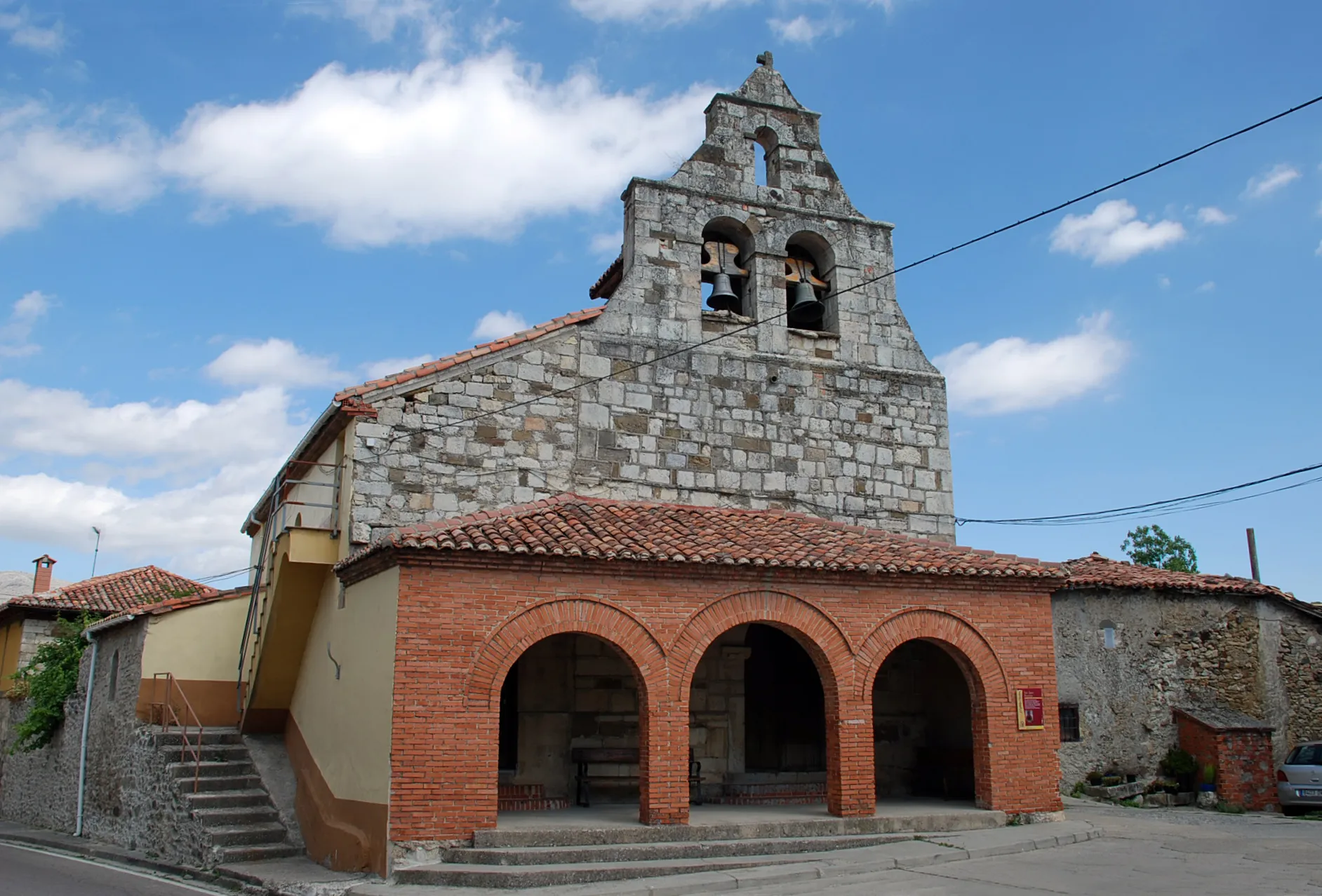
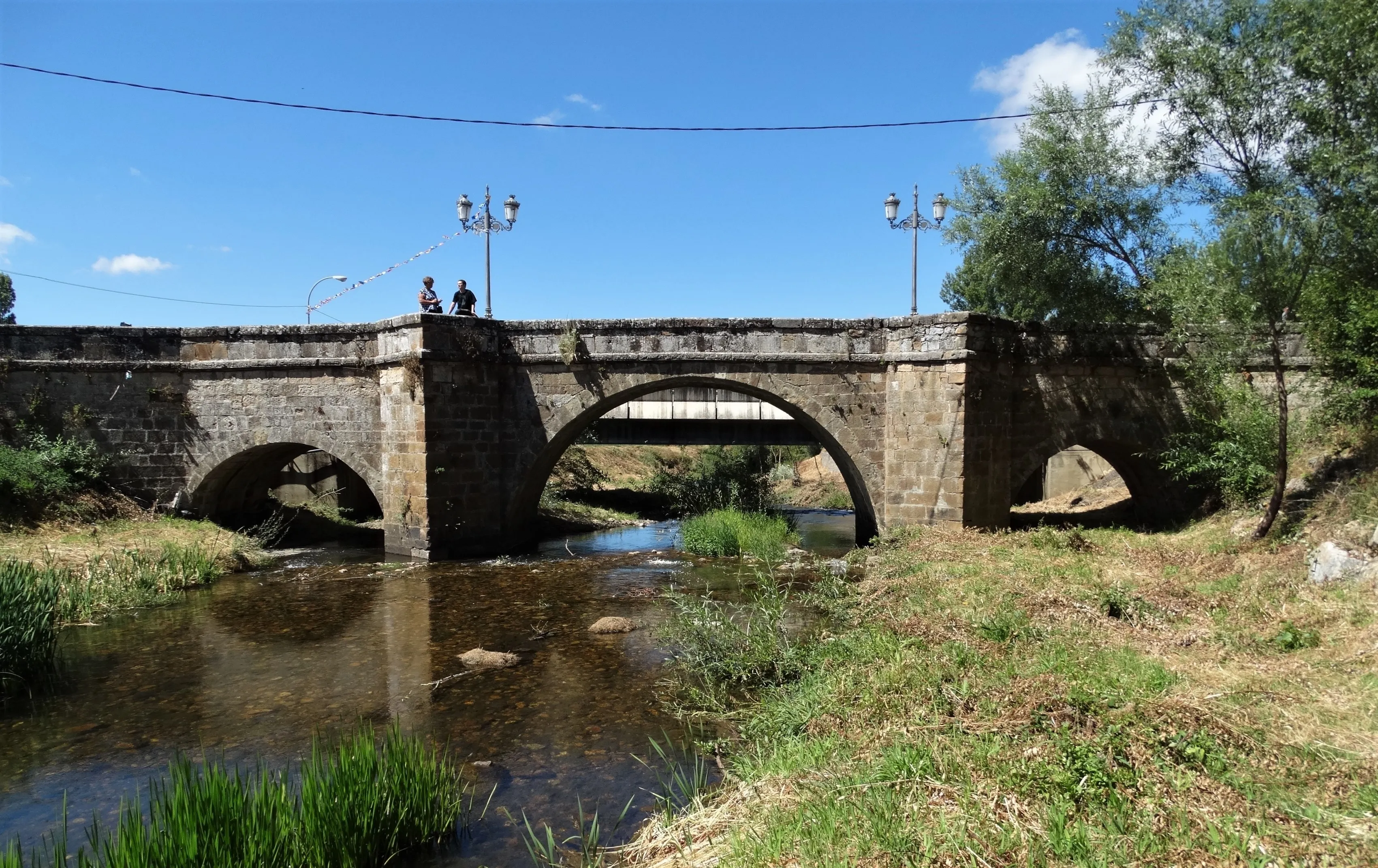
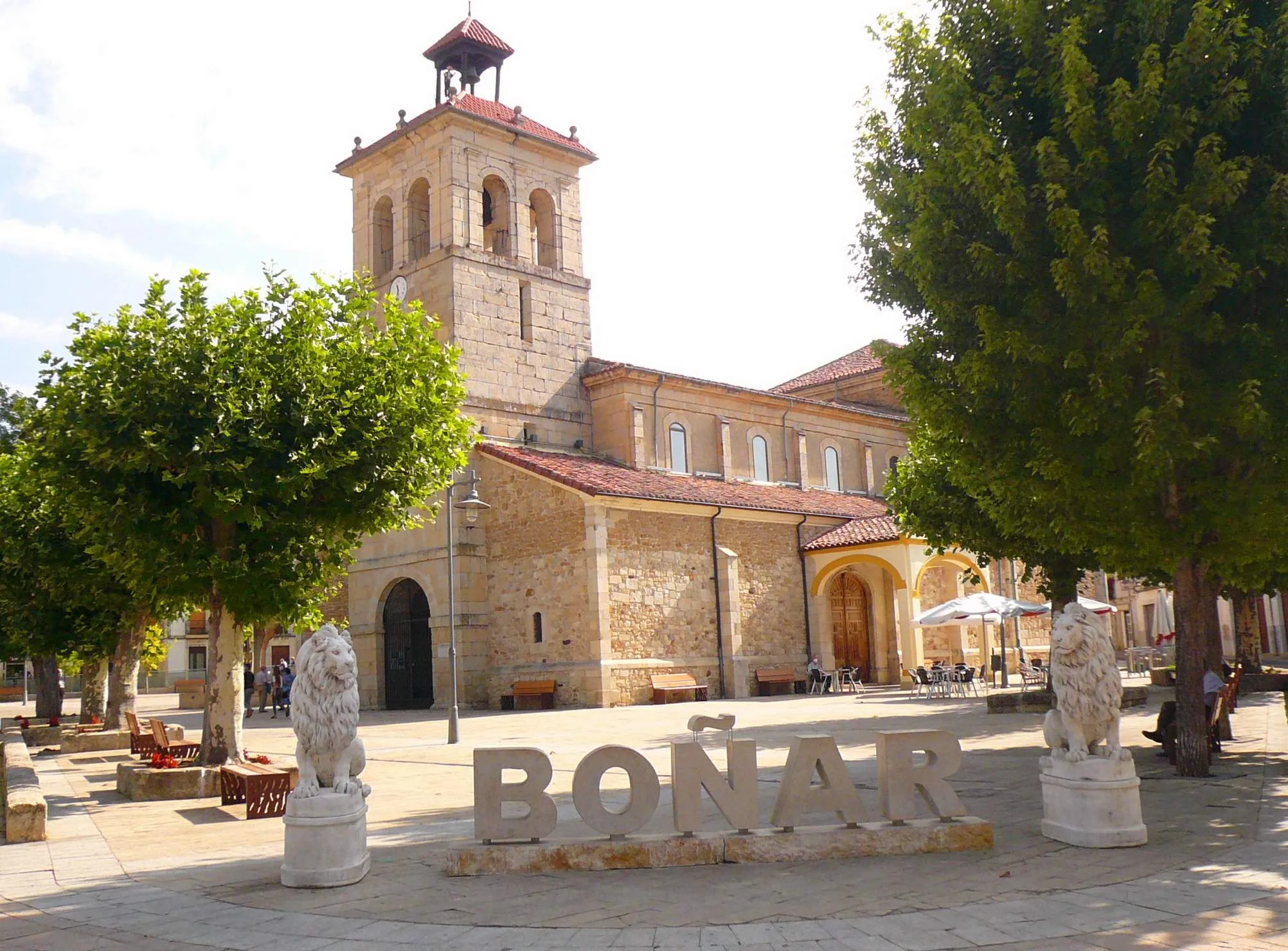
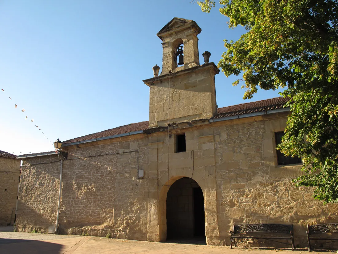
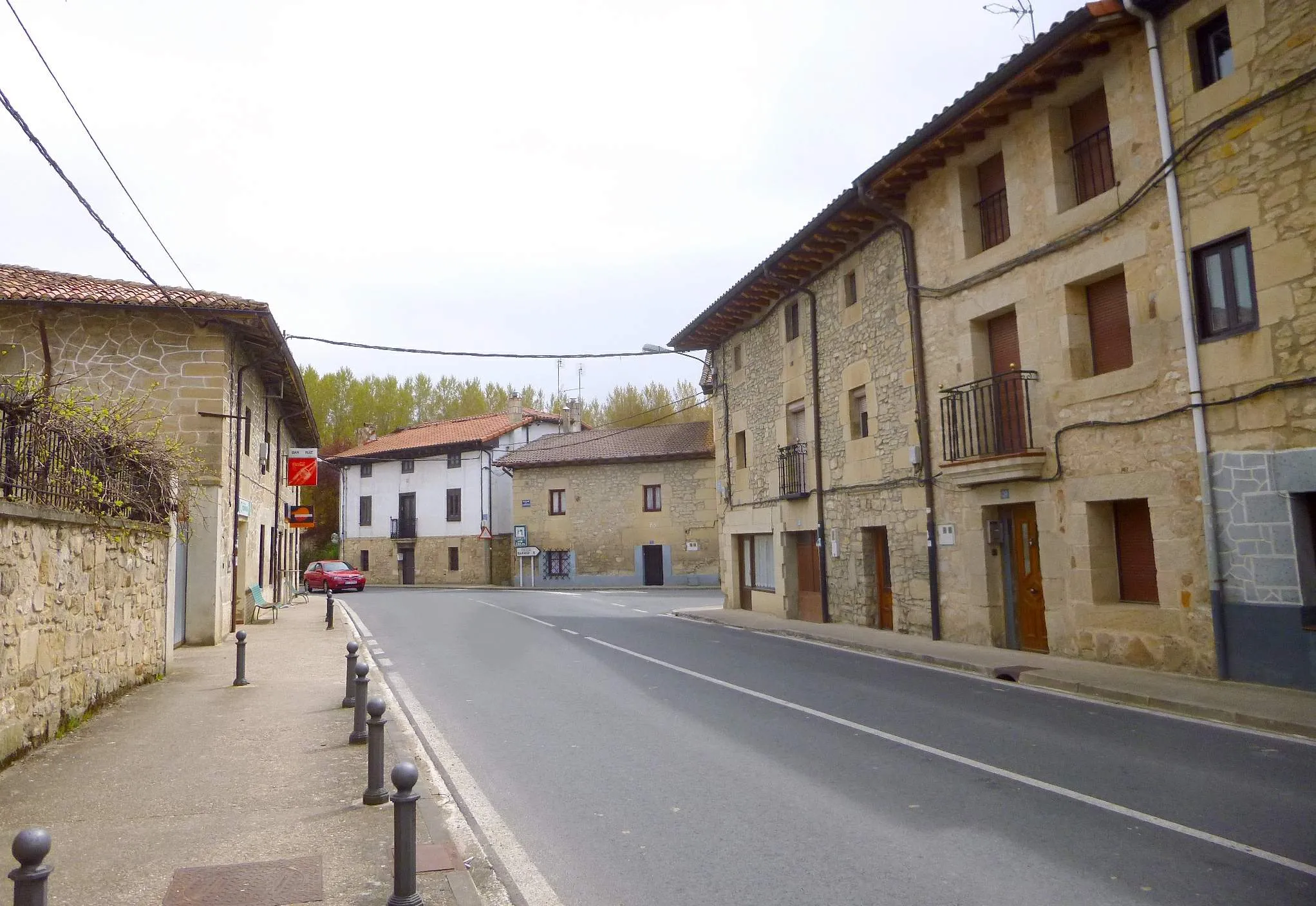
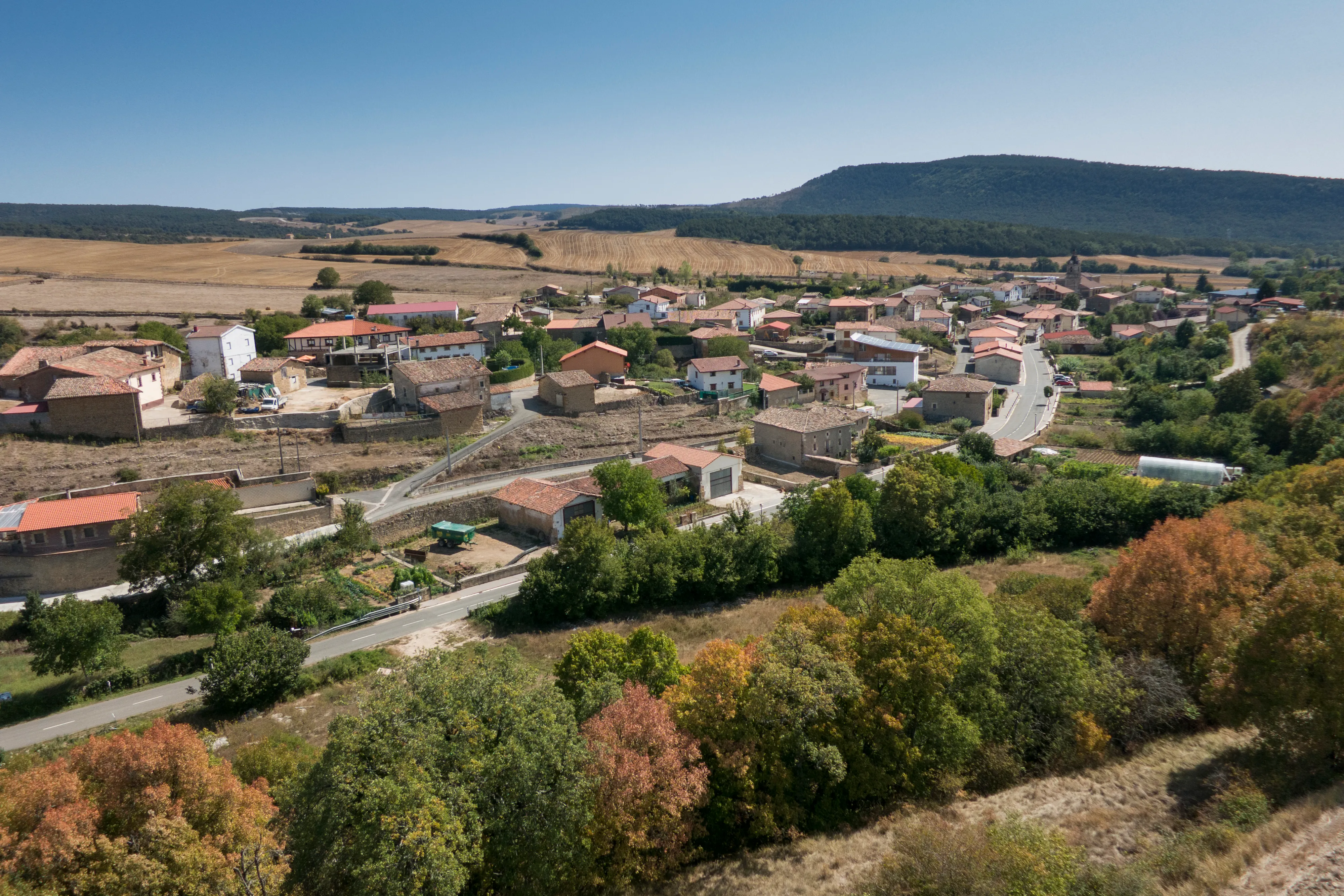
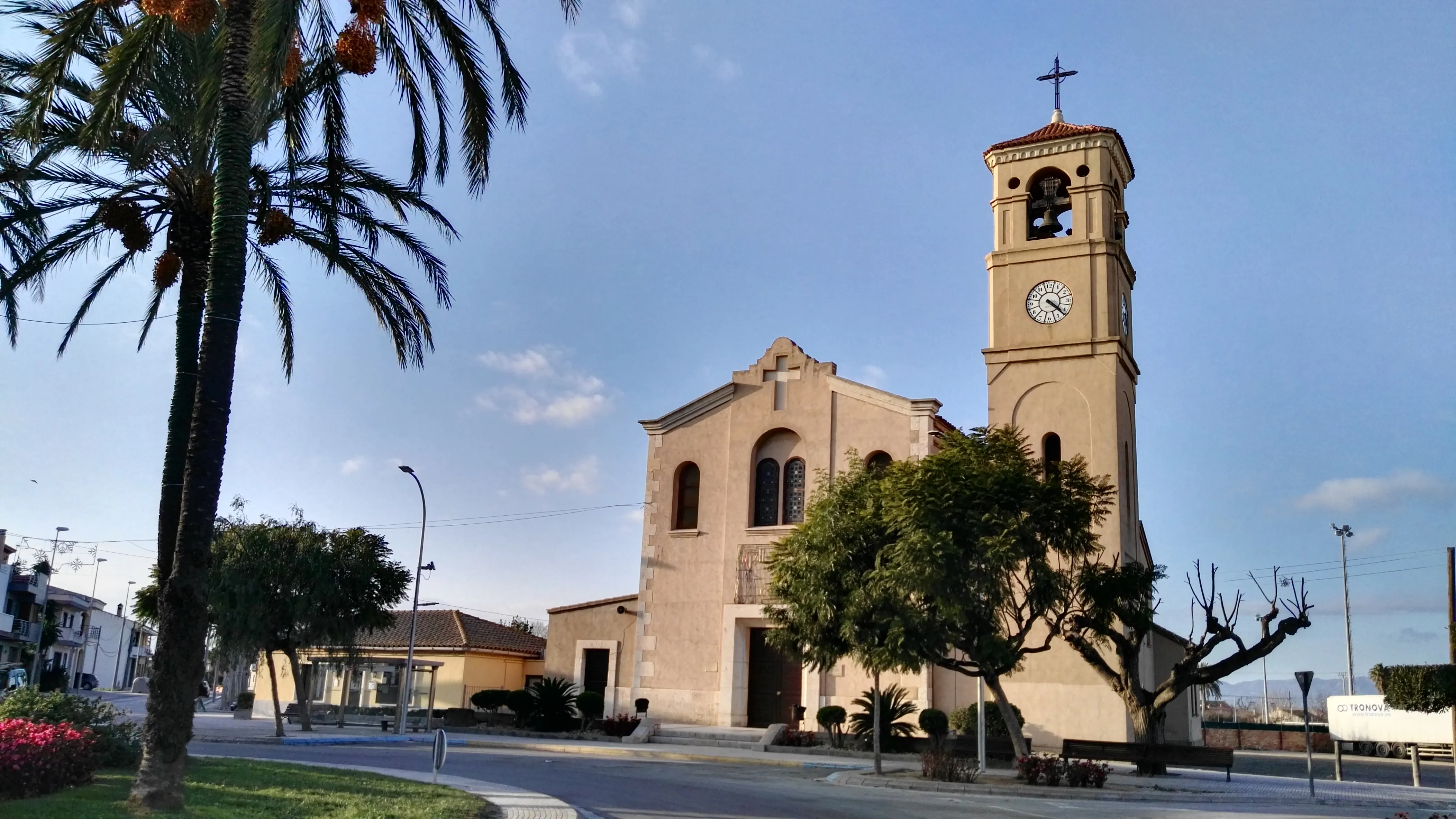
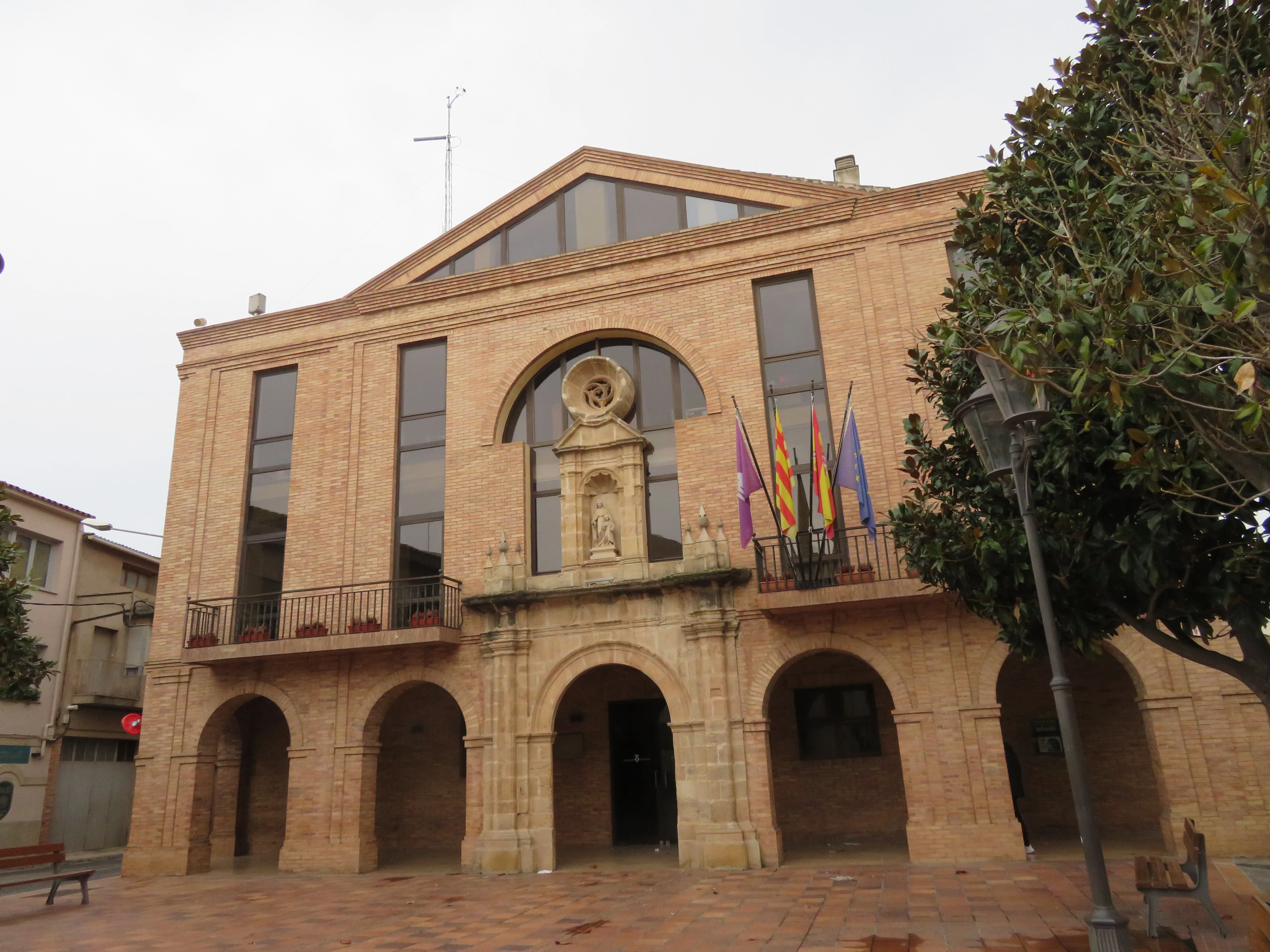
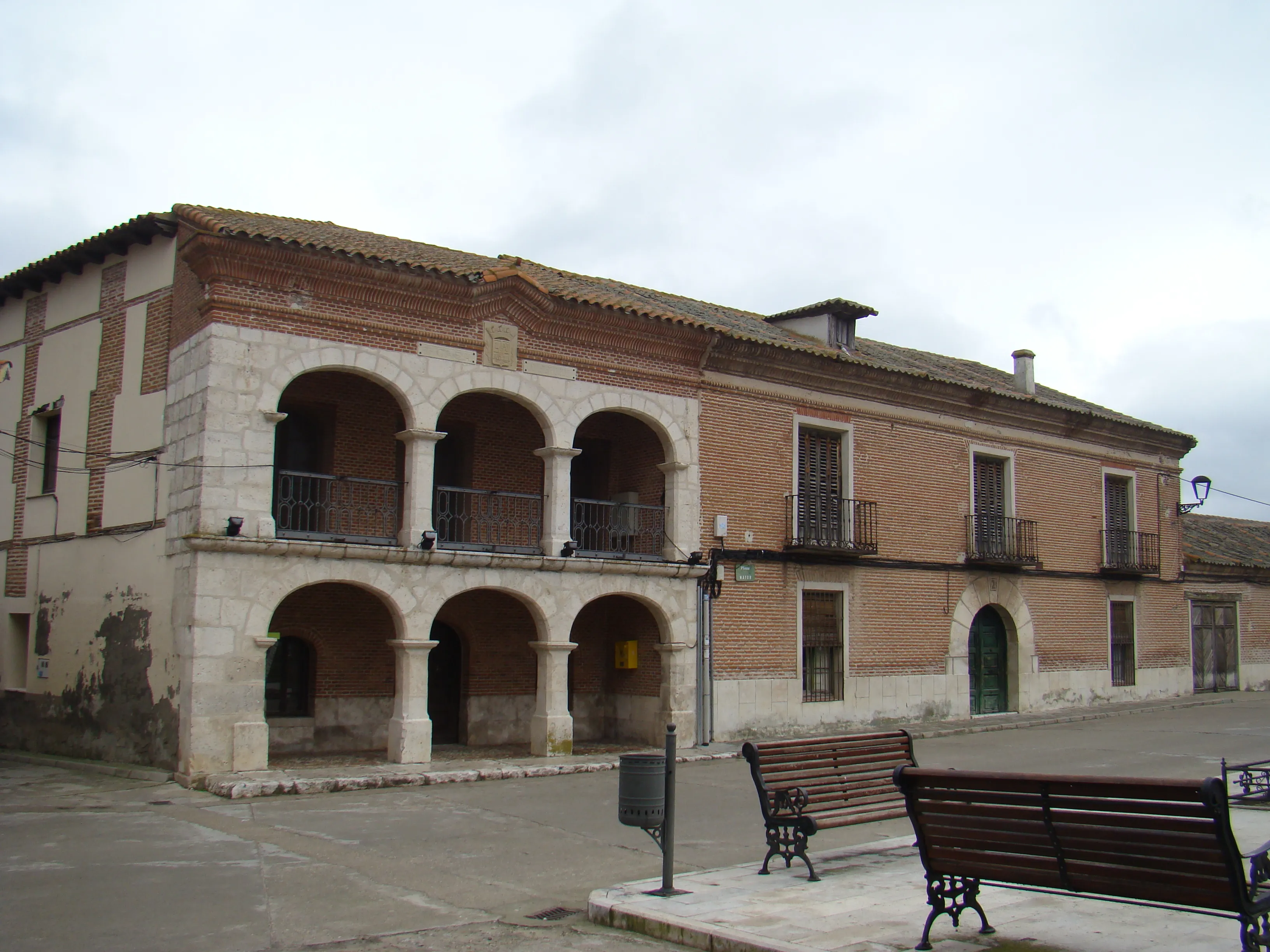
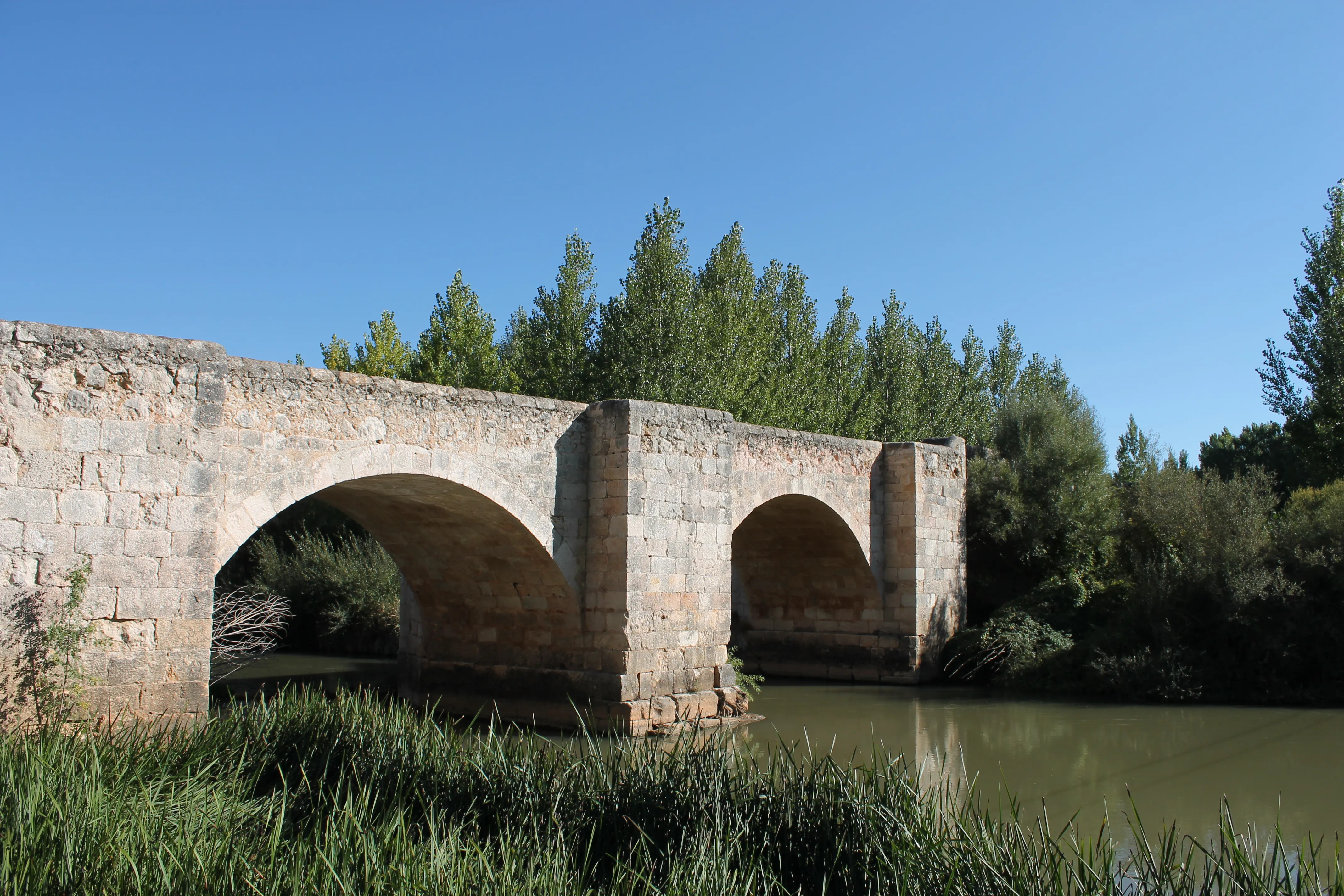
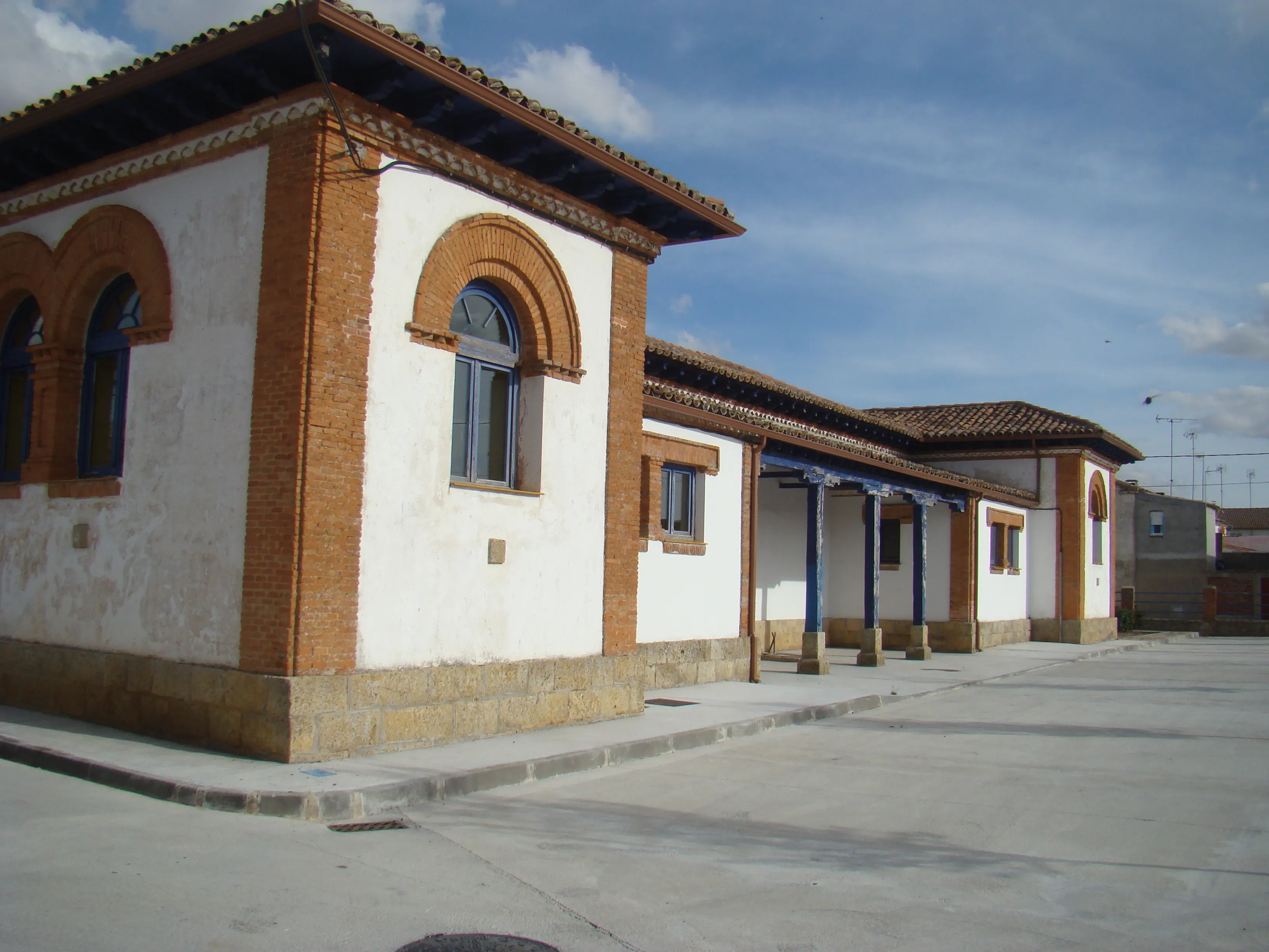
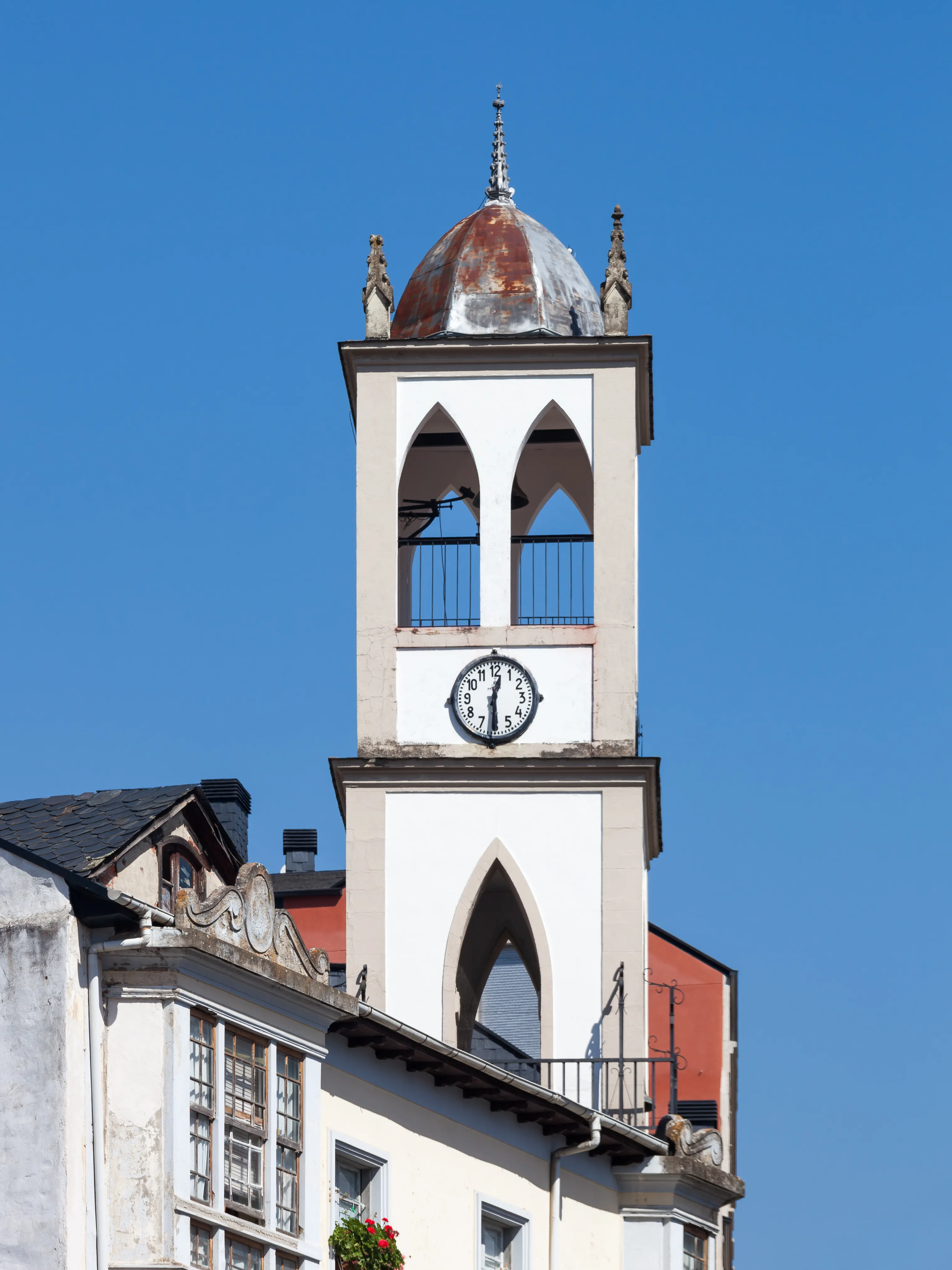
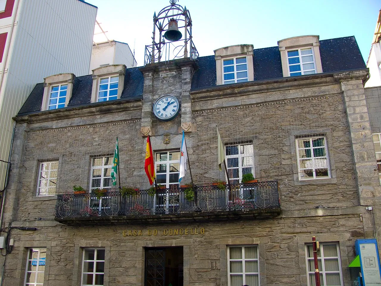
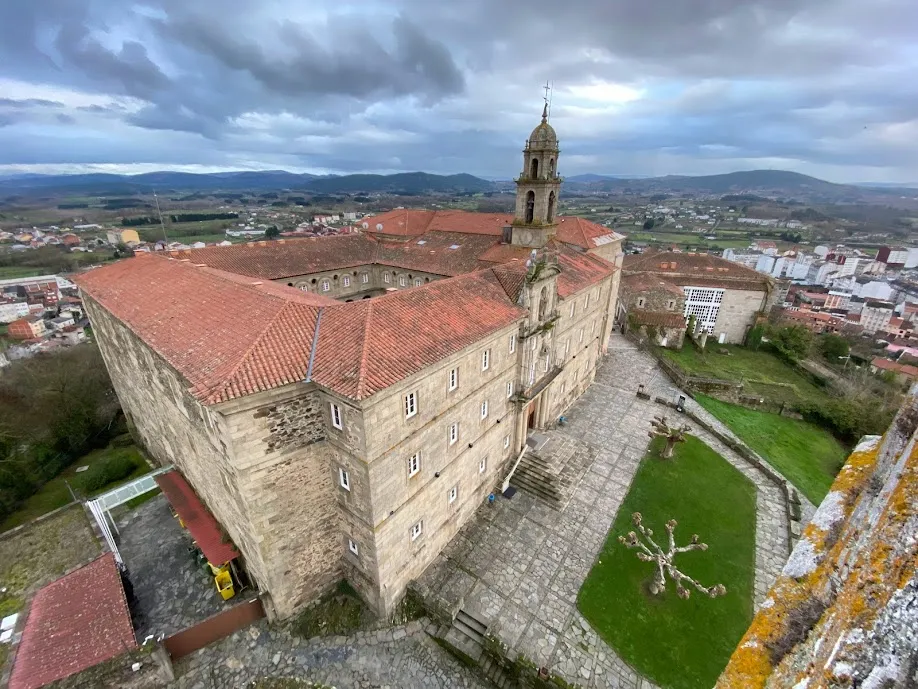
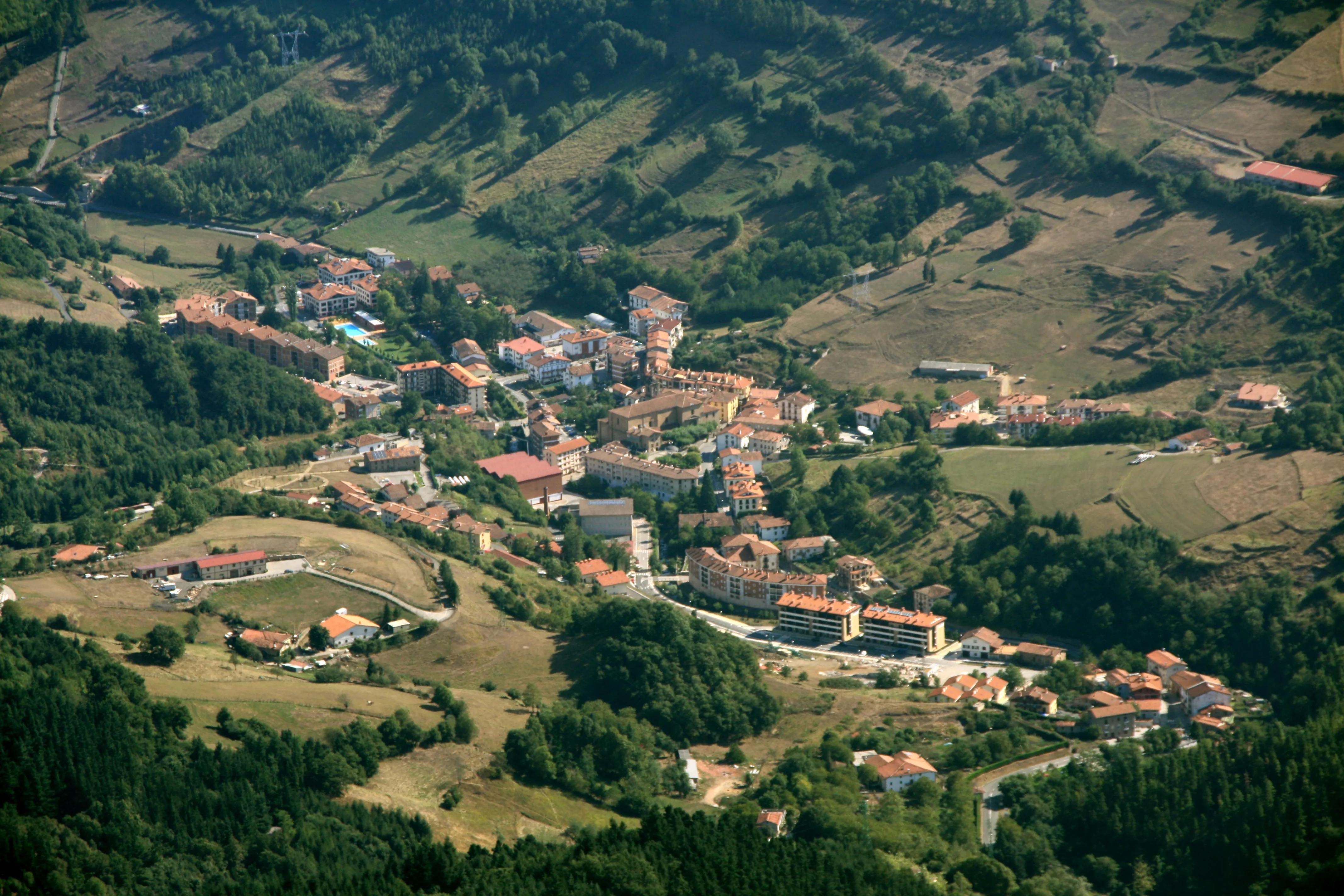
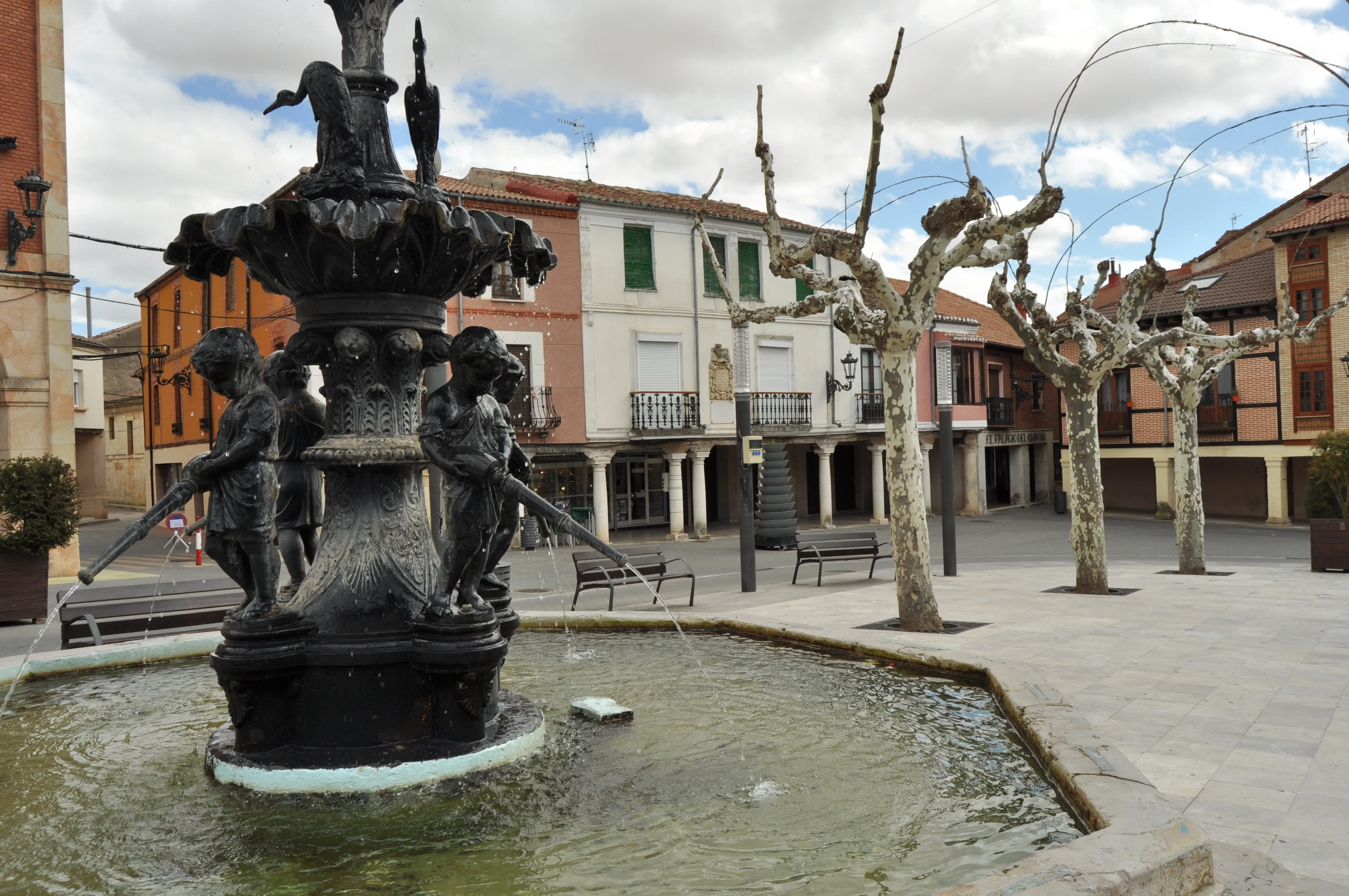
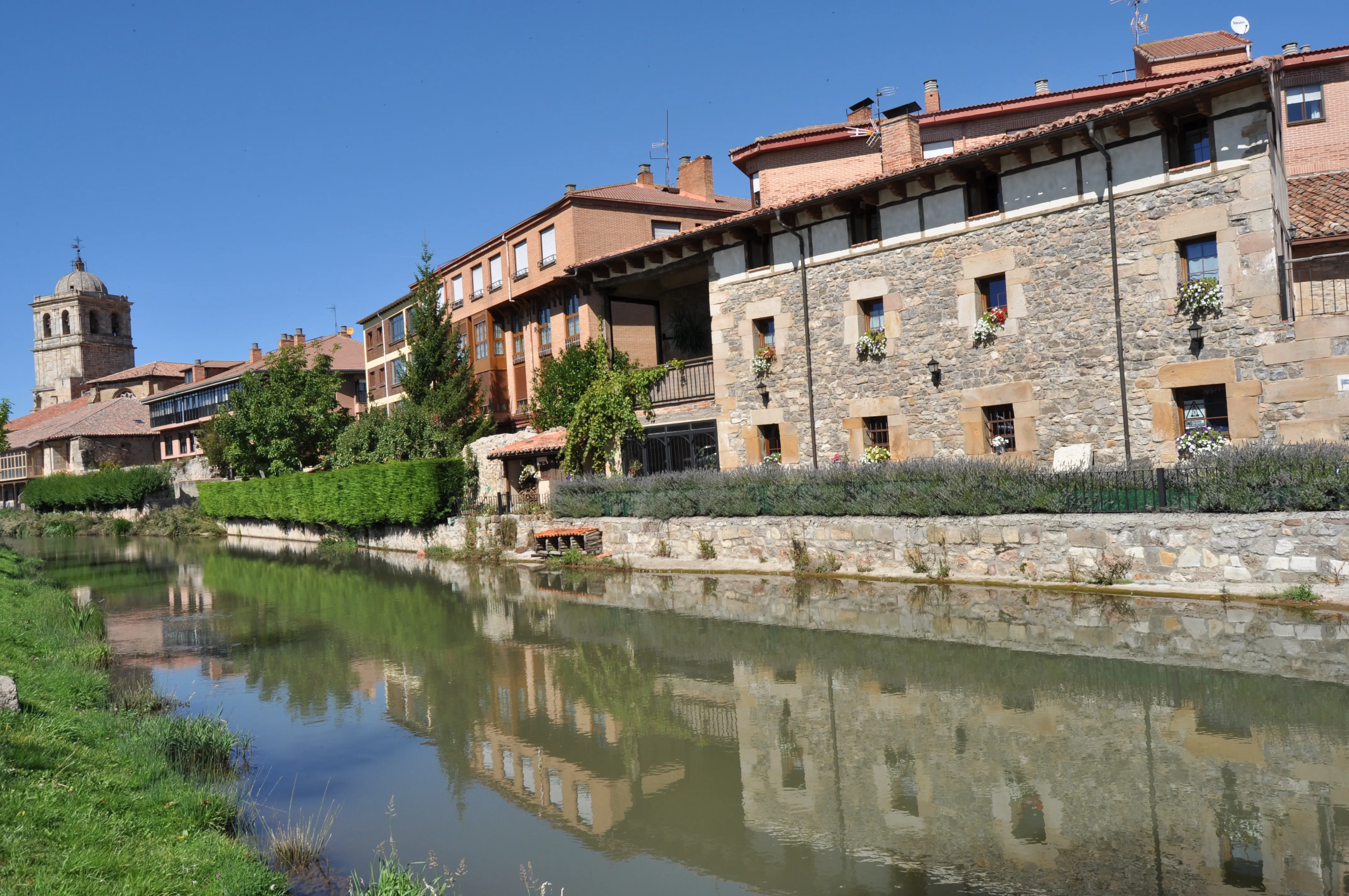
Featured Towns of The French Way
Explore the key towns and cities of this route.


History
Millenary History of the Camino de Santiago: Origins and Evolution The French Way
Discover the origins and evolution of The French Way
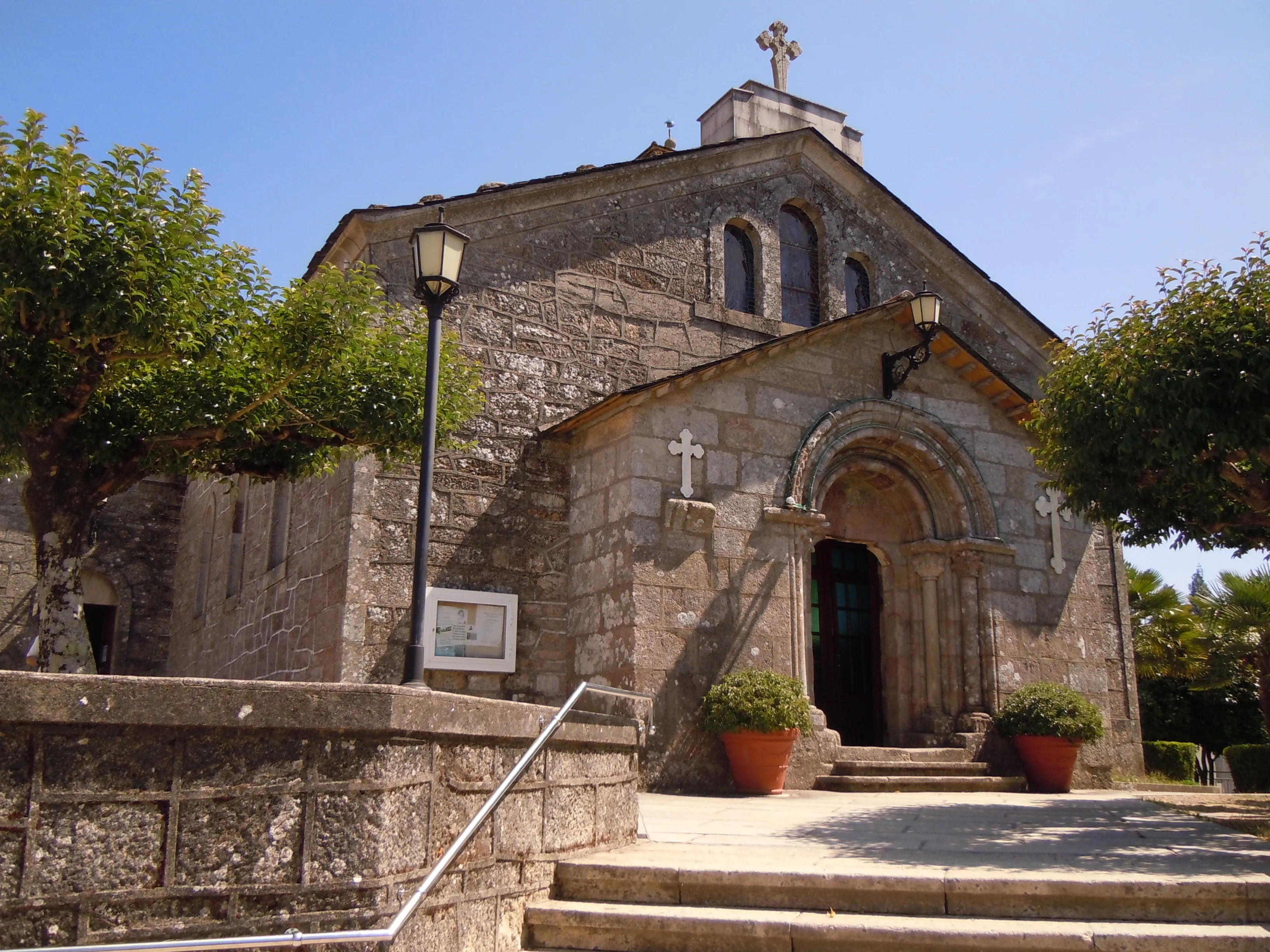
The birth of this route is intrinsically linked to the advance of the Reconquista. Visionary monarchs such as Sancho III the Great of Navarre and later his vassal Alfonso VI of León and Castile understood the immense political and spiritual power represented by the cult of Saint James. As their kingdoms expanded towards the south, they pacified the territories of the north plateau and proposed creating a safer, more direct, and accessible route for the massive influx of pilgrims coming from beyond the Pyrenees. They deliberately diverted the flow of dangerous coastal and mountainous routes onto this new path, which benefited in many stretches of the route from ancient Roman roads.
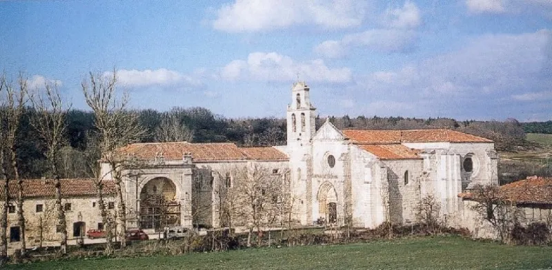
In this context, the influence of the Cluniac Order was decisive. The cluniac monks, with their vast network of monasteries and enormous ecclesiastical power, became the great promoters and organizers of the Camino. Their work did not stop at spreading Jacobean faith; they were genuine engineers and logisticians, pushing the construction of bridges, founding pilgrim hospitals, and building monasteries that served as spiritual centers and reception points. They created, in fact, the first major network of "services" for travelers across Europe.
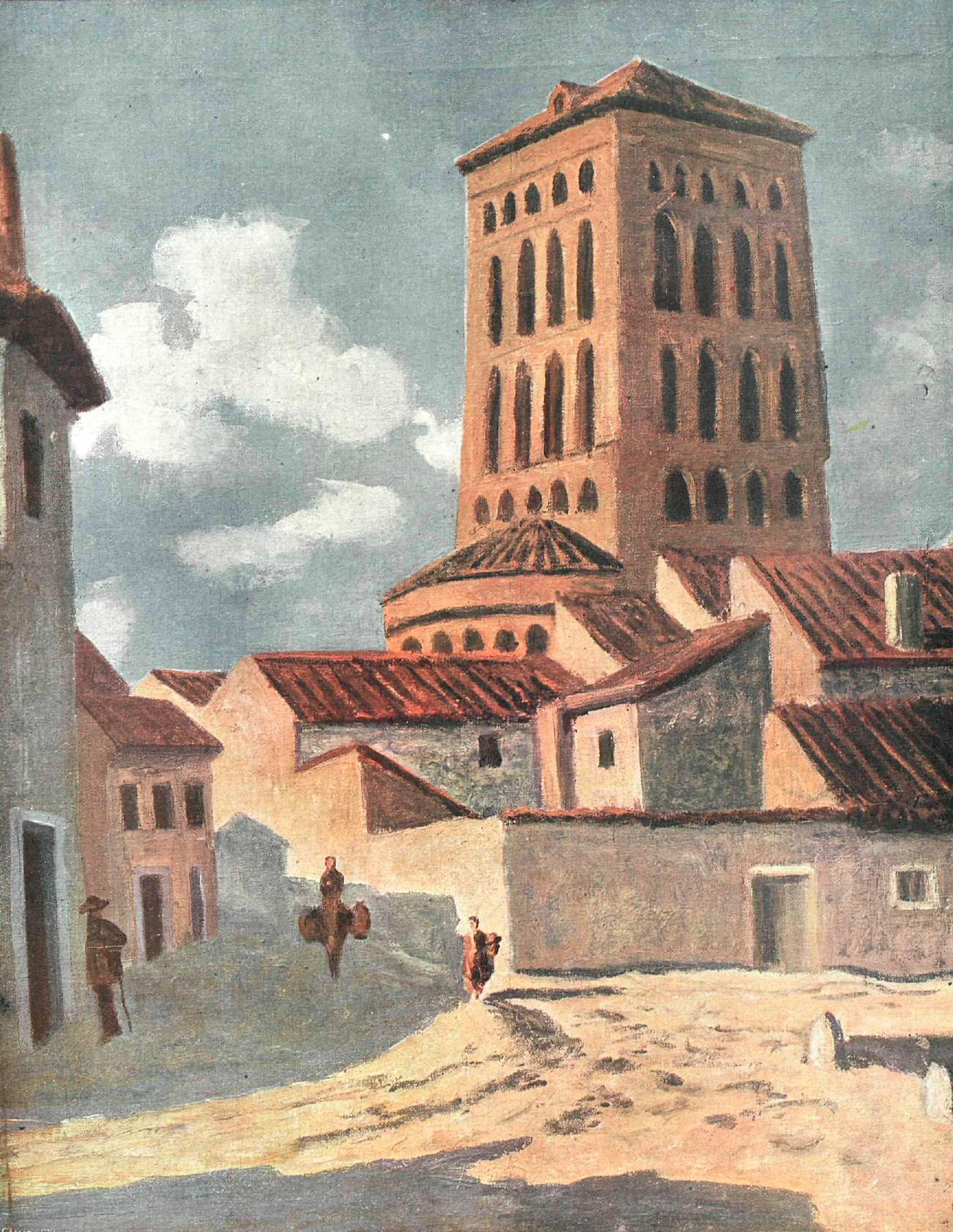
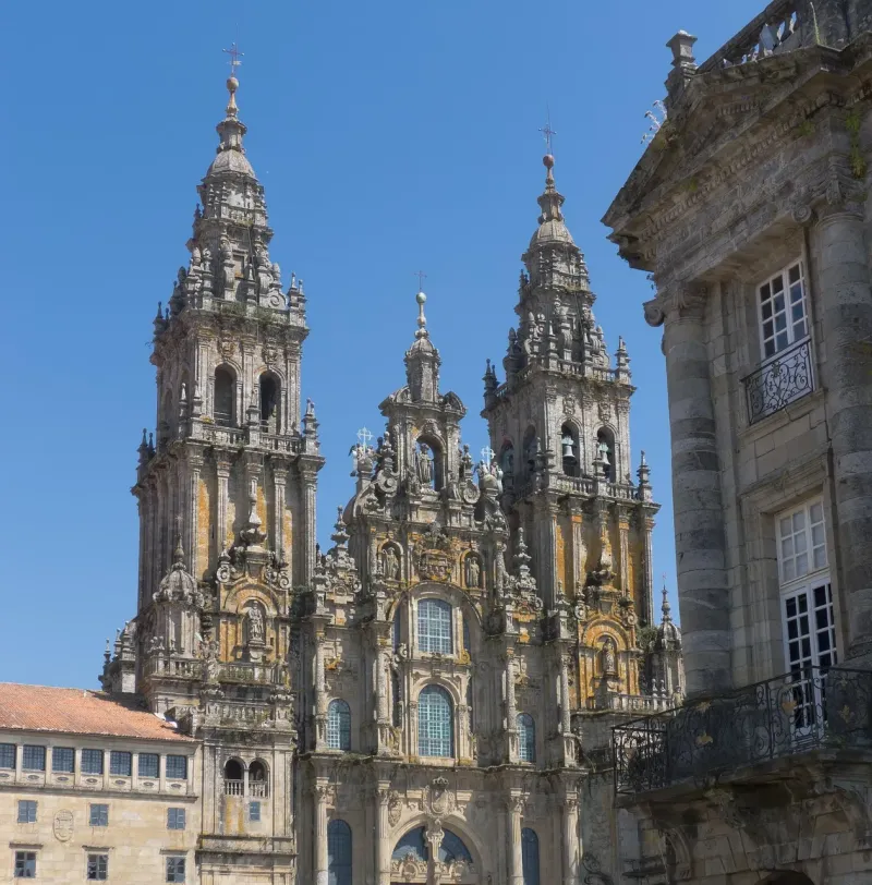
The definitive consecration of the Camino Francés came in the 12th century with the publication of the "Codex Calixtinus", an extraordinary pilgrimage guide attributed to the French cleric Aymeric Picaud. This manuscript, in its Book V, described with astonishing precision the stages, shrines, people, and potential dangers of the journey. It formalized the itinerary by describing the four major routes that departed from France (the Turonensis route from Paris, the Lemovicensis route from Vézelay, the Podiensis route from Le Puy-en-Velay, and the Tolosana route from Arles) and how the first three converged in Ostabat to cross the Pyrenees via Roncesvalles while the fourth did so through Somport. The two branches, Navarro and Aragonese, finally united in Puente la Reina, Navarre, under the famous phrase "And from here, one single path is made".
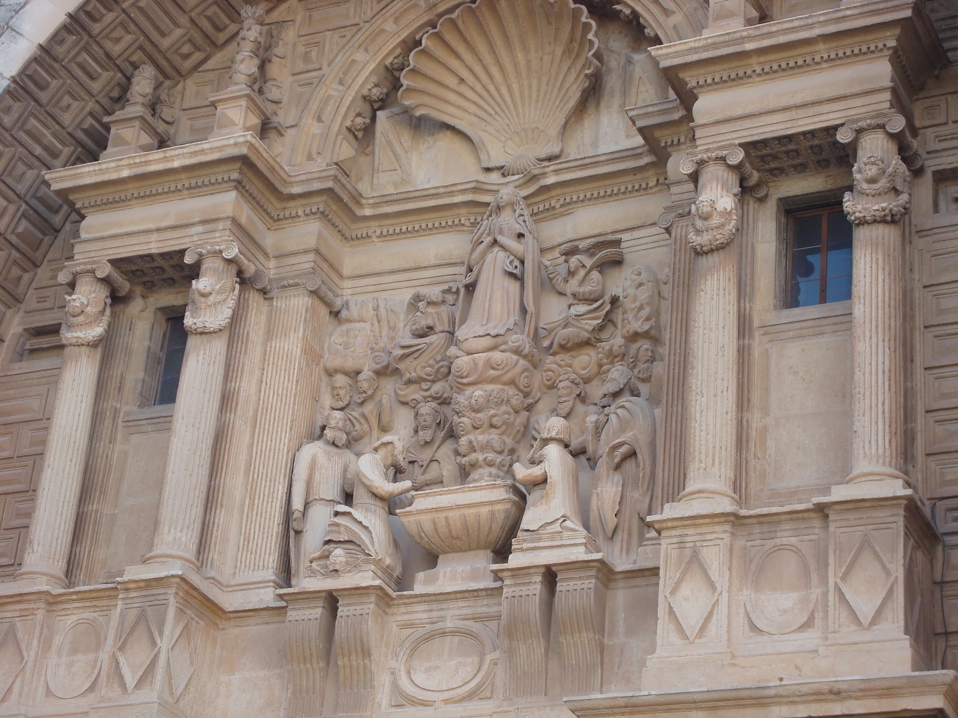
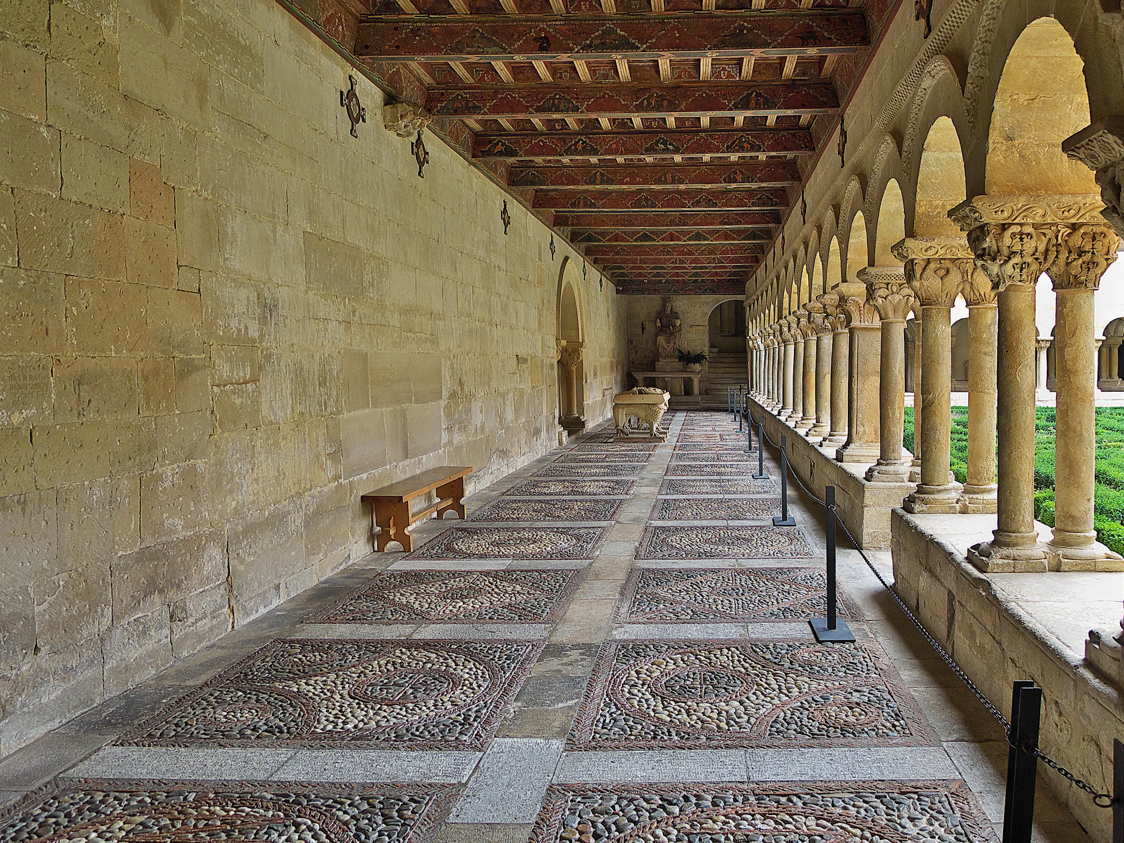
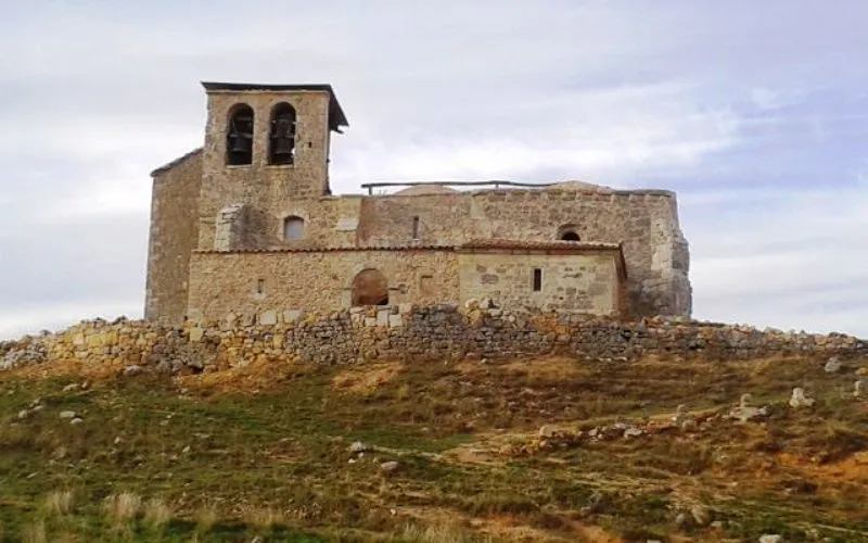
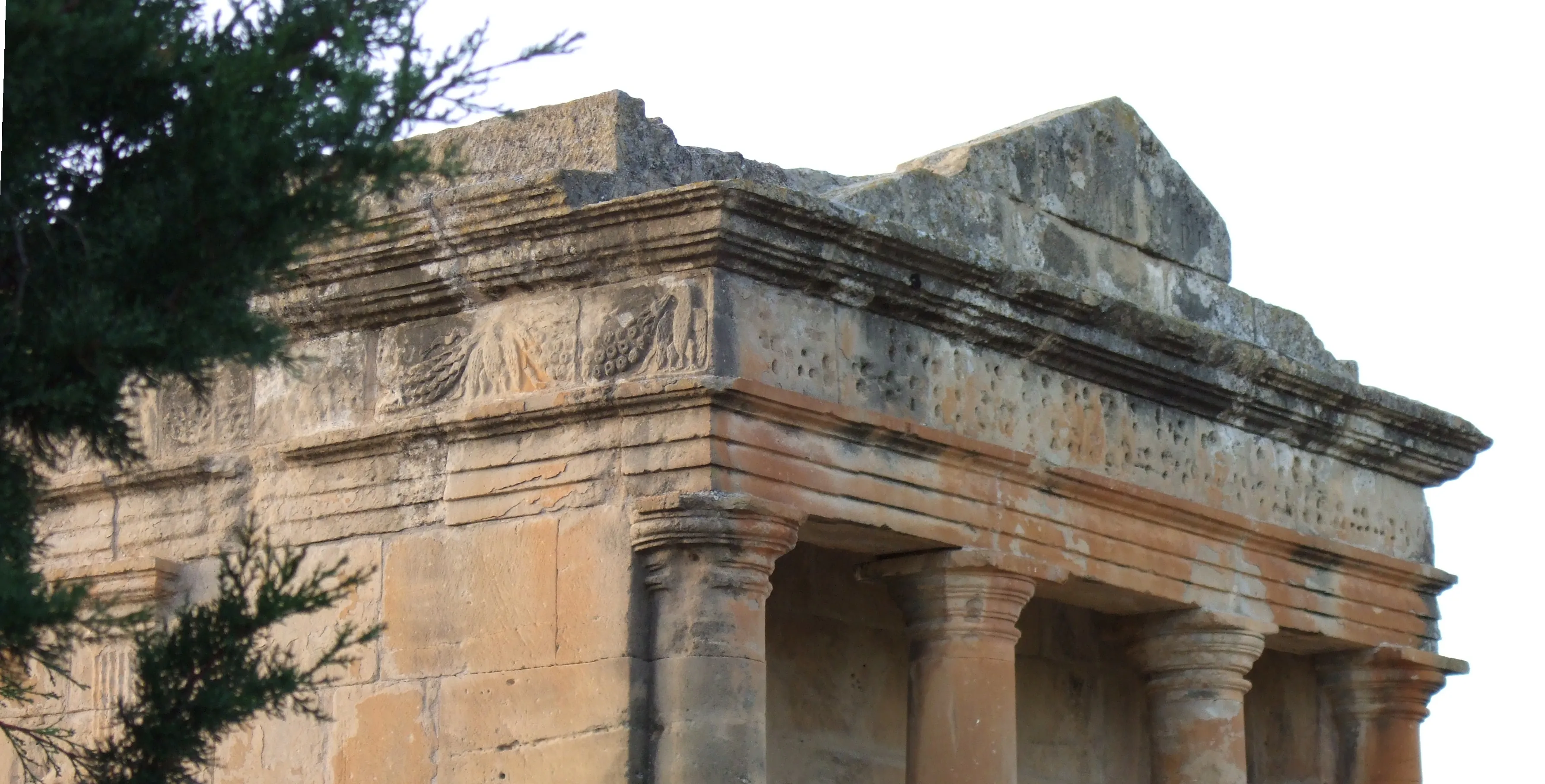
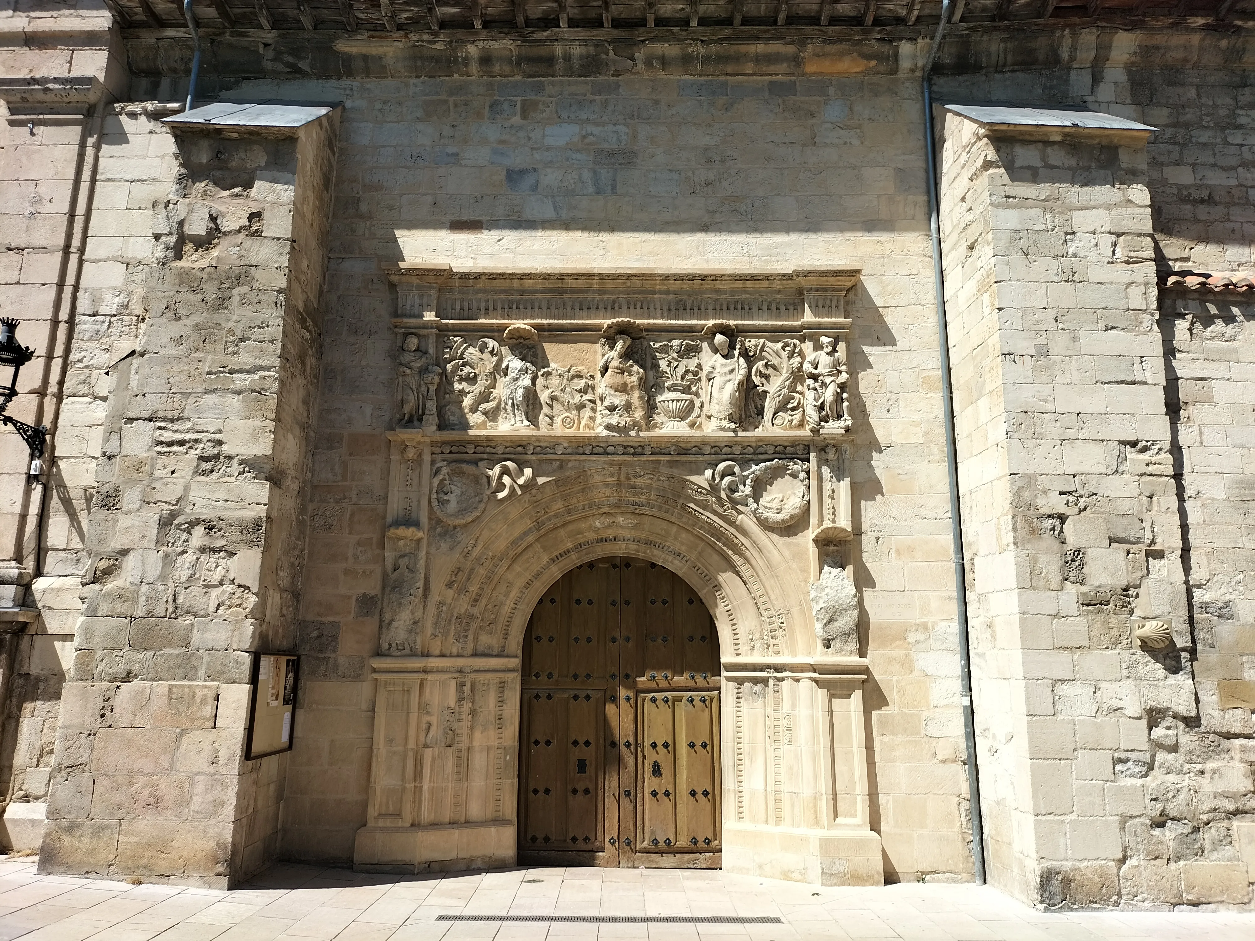
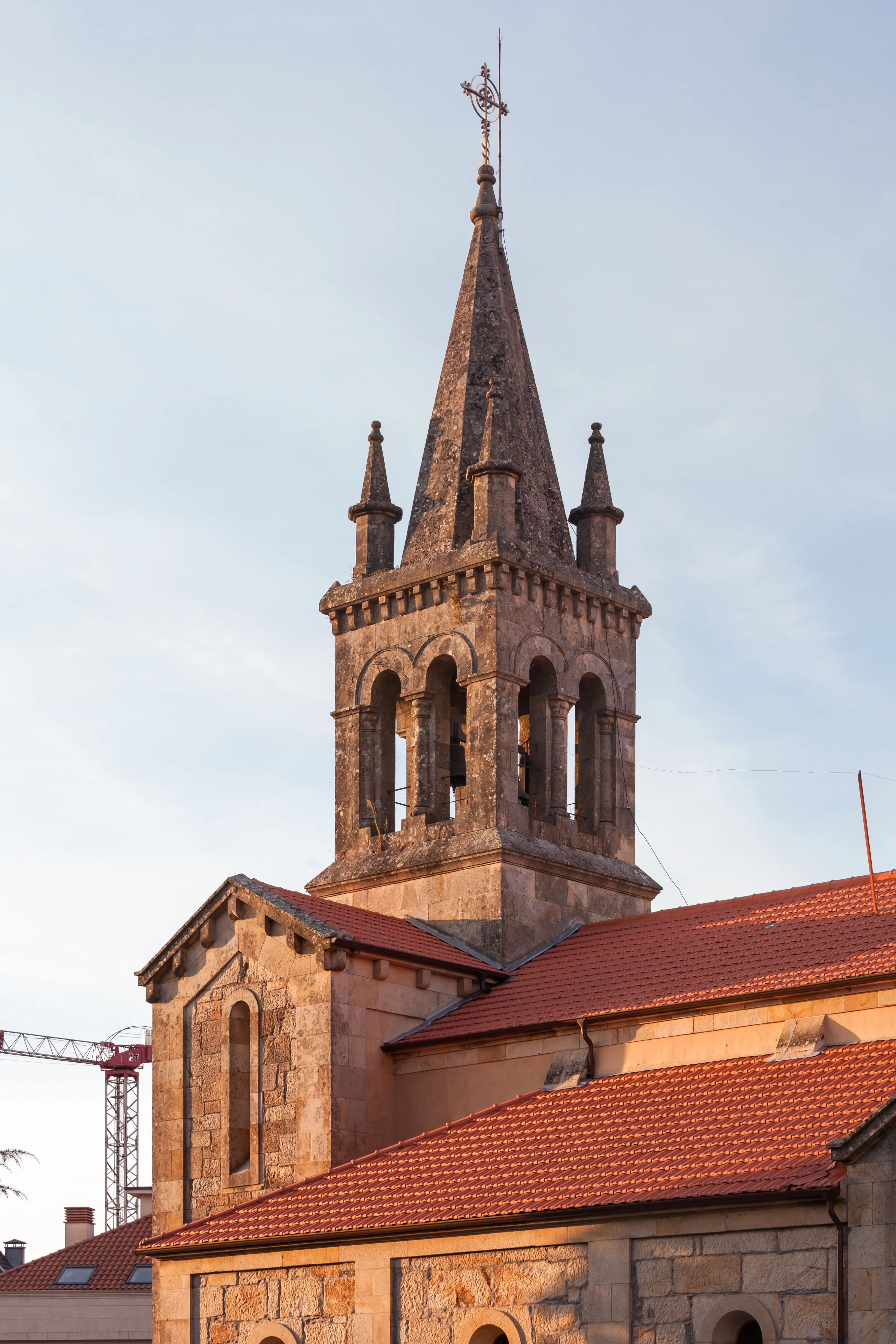
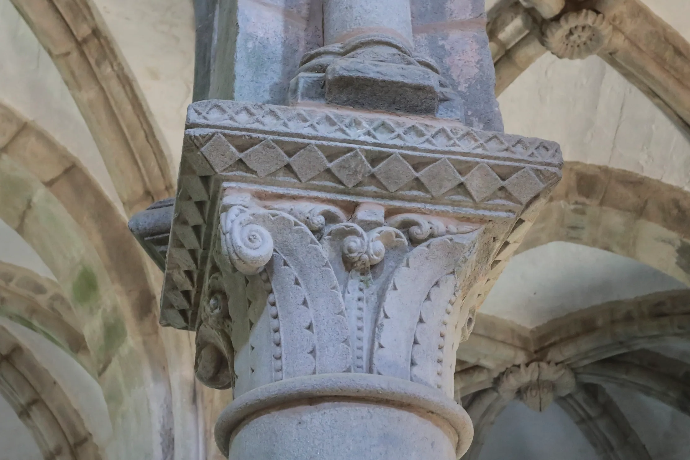
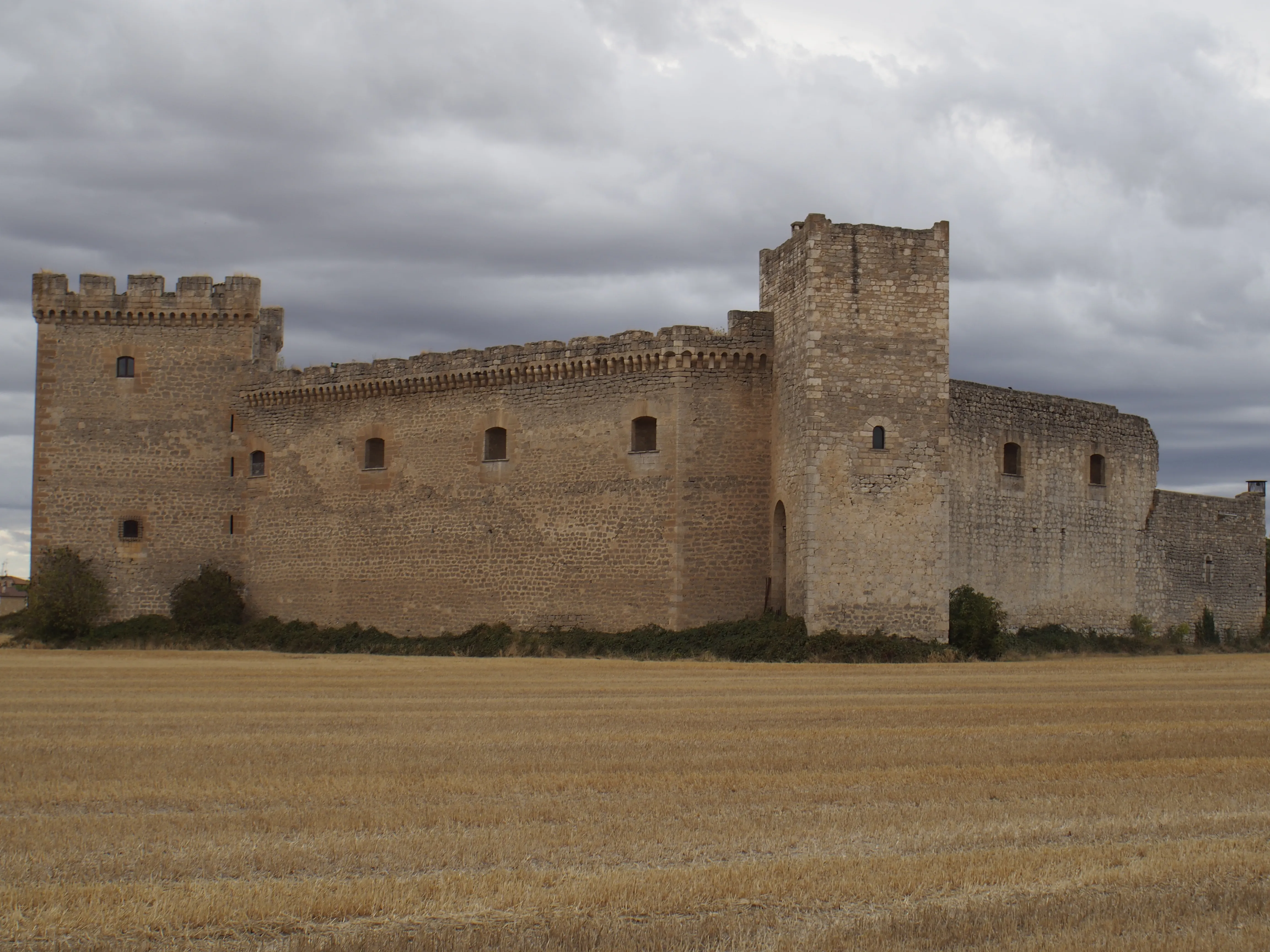
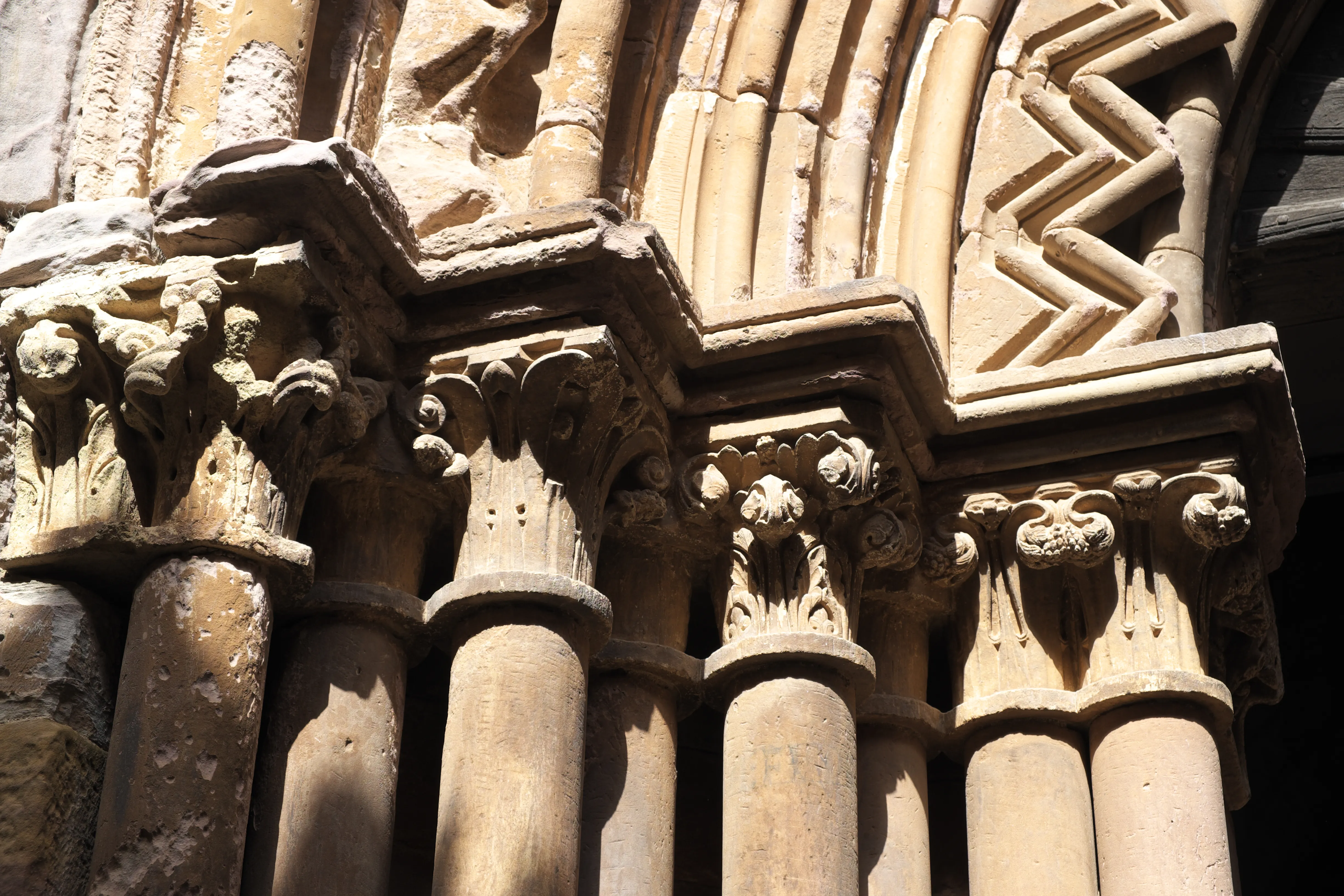
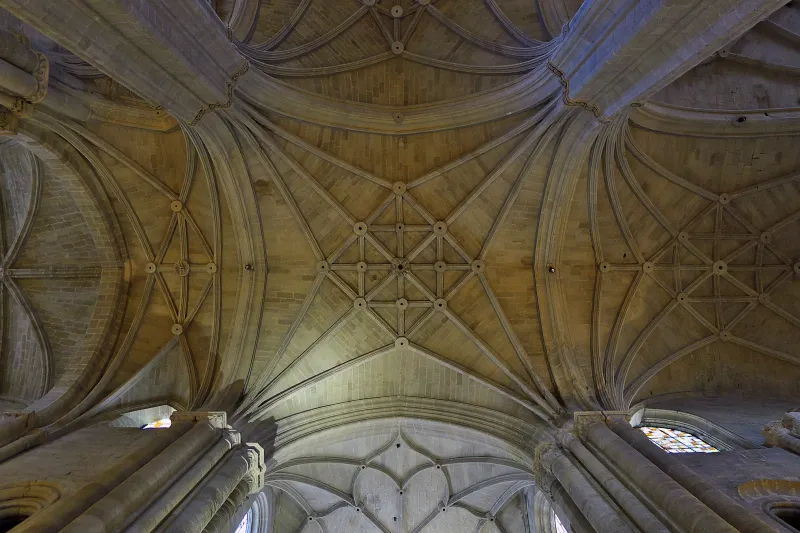
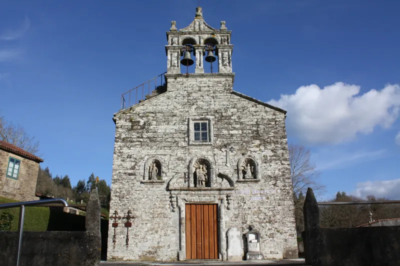
During the Middle Ages, the Camino Francés became a melting pot of cultures, an authentic "main street of Europe". Millions of pilgrims of all social condition — kings and beggars, saints and rogues— walked it motivated by faith, penance, or the search for miracles. This constant flow of people brought about an unprecedented exchange of ideas, knowledge, artistic styles, and commercial practices. The art of the Romanesque period flourished alongside the Gothic, leaving behind a monumental legacy in cathedrals like those in Jaca, Pamplona, Burgos, León, and, of course, Santiago de Compostela.
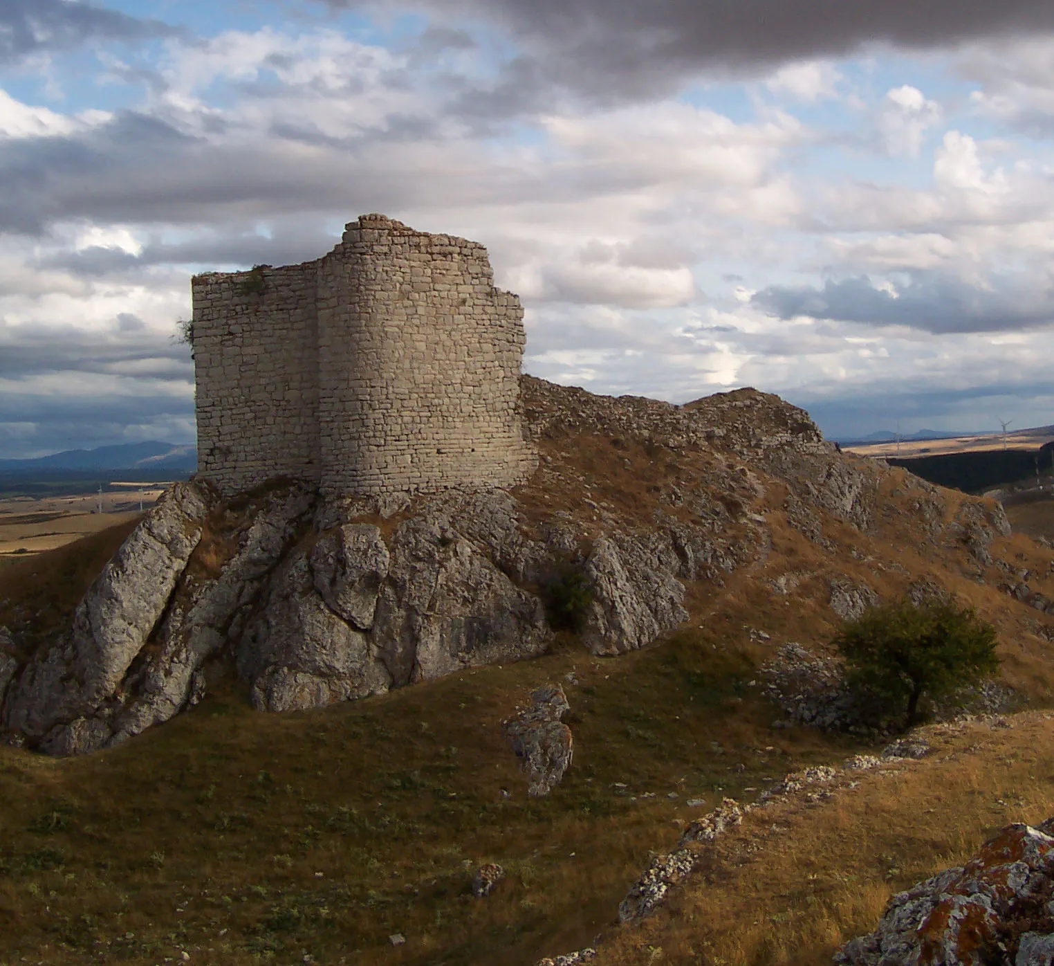
Military orders such as the Knights Templar and the Order of Saint James were established along the route to protect pilgrims from bandits and the dangers of the journey.
After centuries of splendor, the route experienced a gradual decline starting in the 16th century, affected by the Black Death, religious wars, Protestant Reformation, and changes in mentality during the Renaissance and Enlightenment. However, pilgrimage never disappeared completely.
Its modern revival is a phenomenon of the 20th century, driven by scholars, associations, and above all, by Elías Valiña Sampedro, a parish priest from O Cebreiro. In the 1980s, Valiña personally walked the entire Camino Francés and marked it with the now-iconic yellow arrows, rescuing it from oblivion. This impulse was reinforced by the European Council's designation of the First Itinerary Cultural European in 1987 and UNESCO's recognition as World Heritage in 1993. Today, the Camino Francés remains alive, more popular than ever, as a testament to faith, culture, and human encounter.
We answer your questions
Frequently Asked Questions about The French Way
How many days are needed to complete the French Way?
The French Way from Saint-Jean-Pied-de-Port to Santiago de Compostela is approximately 780 km and is typically walked in 31-35 stages, which takes between 4 and 5 weeks. Many pilgrims choose to walk only the last part from Sarria (112 km, 5-6 stages), which is the minimum distance required to obtain the Compostela.
Which is the most challenging stage of the Camino Francés?
The first stage, crossing the Pyrenees from Saint-Jean-Pied-Port to Roncesvalles, is considered the most demanding with over 1,200 meters of elevation gain in 25 km. Other tough stages include the climb to O Cebreiro from Villafranca del Bierzo and Alto del Perdón near Pamplona.
Can the French Way be done by bicycle?
Yes, the French Way is perfectly suitable for bicycles. It takes about 10-14 days to complete on a bike. At least 200 km of cycling are required to earn the Compostela. The route is well-marked for cyclists with alternative variants in some mountain sections.
Which are the most important cities on the French Way?
The main cities are Pamplona, Estella, Logroño, Burgos, León, Astorga and Santiago de Compostela. Each offers historical heritage, local cuisine and complete services for pilgrims.
What is the best time of year to walk the Camino Francés?
Spring (April-June) and autumn (September-October) are the best times. Summer is the busiest period, with more heat and crowds. Winter is possible but with fewer services open and worse weather conditions in the Pyrenees.
Do I need to book accommodation on the Camino Francés in advance?
In peak season (July-August) it is highly recommended to book in advance, especially in popular stages like Pamplona, Burgos or León. In spring and autumn you can go without a reservation. Public pilgrim hostels do not accept advance bookings.
What documentation do I need to walk the Camino Francés?
The pilgrim credential is the main document, stamped at hostels, churches and bars. It can be obtained in Saint-Jean-Pied-de-Port or at pilgrim associations. With at least 2 stamps per day from Sarria you can request the Compostela certificate in Santiago.
Organize Your Camino
Ready for this adventure?
The French Way