
Stage of the Camino
Stage Description
A day of transition in which the Camino leaves A Mariña and climbs onto the plateau of the Terra Chá of Lugo. From the 140 metres of the valley of Mondoñedo the route gains more than 400 net metres up to the 560 of Abadín, with some 625 metres of accumulated positive ascent spread over a long but gradual climb, with no leg-breaking ramps. The traditional route works its way up the valley by Maariz, O Vilar and Lousada, among oak woods, walled meadows and cattle-farming hamlets, before topping out at A Xesta and linking up with Gontán and Abadín, two villages that are almost joined. There is a signposted, more direct variant that crosses an uninhabited area with no services: it is only advisable in good weather. A short stage in kilometres but demanding on the legs, and the definitive farewell to coastal Galicia.
The stage between Mondoñedo and Abadín covers 16.6 kilometres and is the great climb of the Camino del Norte in the lands of Lugo: the day on which the pilgrim leaves behind the coastal district of A Mariña and clambers up onto the Terra Chá, the inland plateau of Lugo. There are few kilometres, but they add up to some 625 metres of positive ascent and a net jump of more than 400 metres, from the 140 of the valley floor to the 560 of Abadín. The difficulty lies not in the gradient, which is gentle, but in the relentlessness of the climb.
You leave Mondoñedo with the cathedral at your back. It is worth not making too early a start and giving it a while before setting off: the so-called kneeling cathedral, low and broad, was an episcopal see for centuries and holds the Baroque organ and the medieval frescoes that made it famous. The town, birthplace of Álvaro Cunqueiro, keeps an old quarter of arcades and armorial houses, and a confection of its own -the tarta de Mondoñedo- that many pilgrims carry off in their rucksacks.
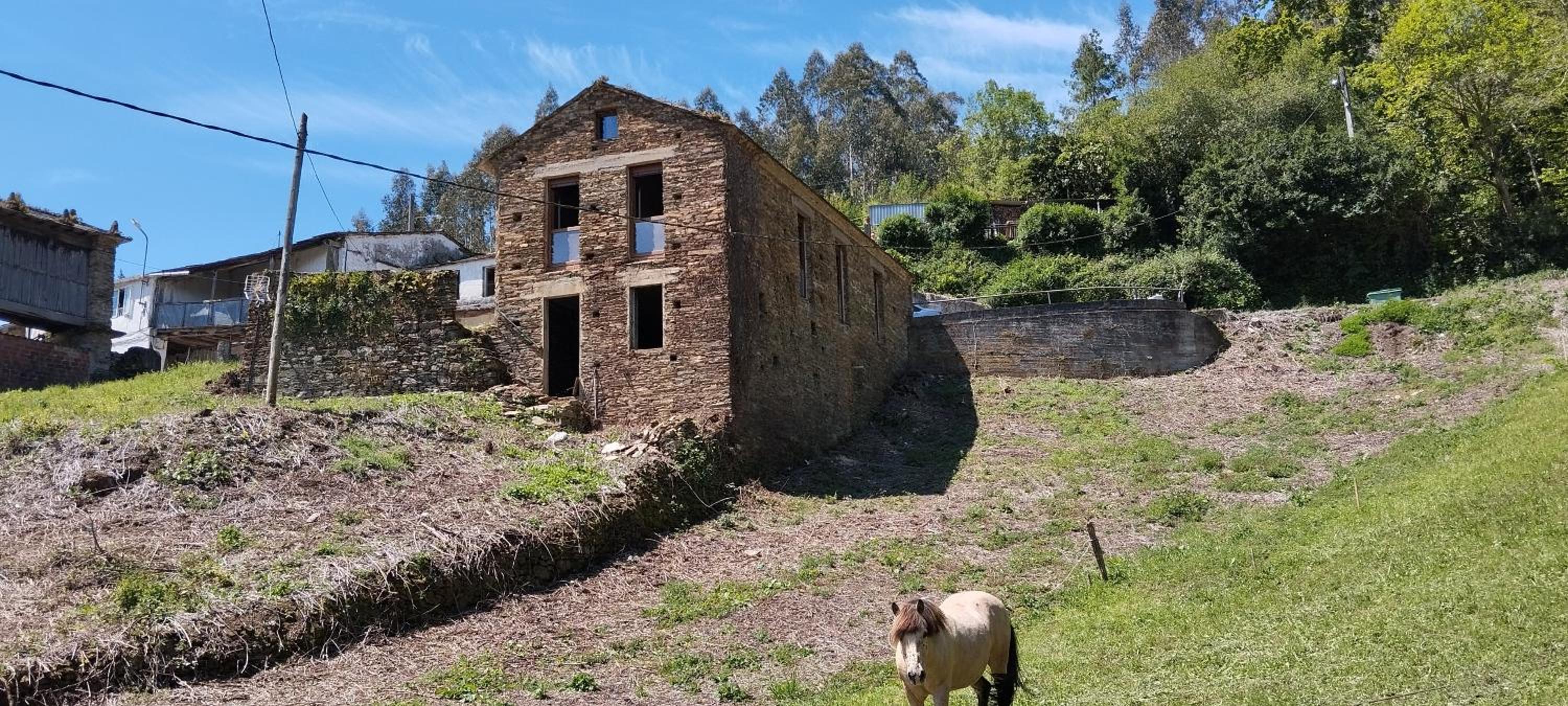
As soon as you cross the river the ground begins to rise. The traditional itinerary works up the valley by Maariz, O Vilar and Lousada, stringing together dirt tracks and sunken lanes between stone walls, oak woods and hay meadows. It is a landscape of scattered cattle farming, with hamlets of a few houses and hórreos, where services are thin on the ground: it is wise to set off with water and something to eat, because supplies along the way are scarce or non-existent depending on the day. The climb makes itself felt above all from Lousada onwards, on a sustained stretch that climbs onto the upper plateau.
There is a signposted, more direct variant, which shortens the way but crosses an uninhabited area with no services at all. In fog or rain -both common in these hills- it is not the best idea; the valley route is longer, safer and more beautiful.
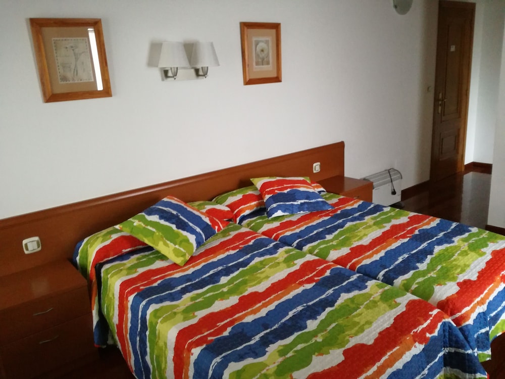
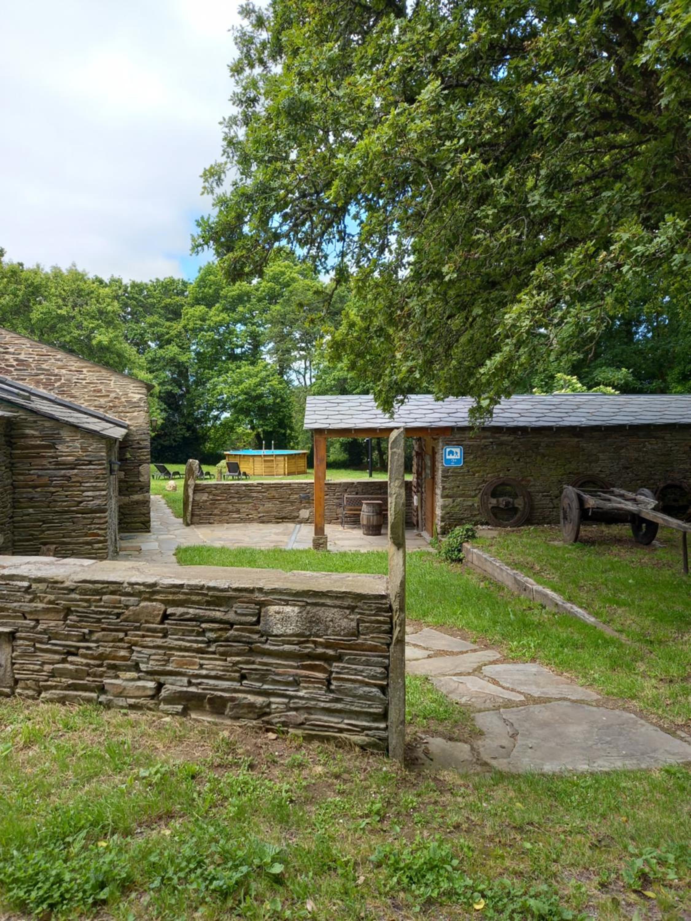
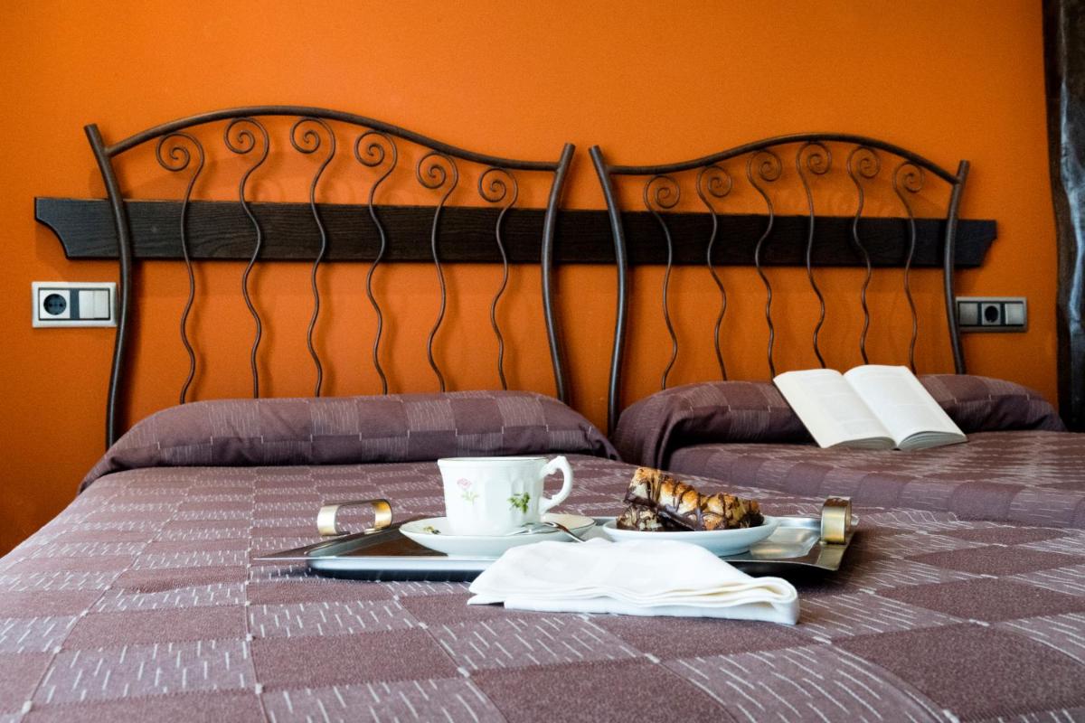
Once past the alto de A Xesta the ground flattens out abruptly and the horizon opens up: it is the first sight of the Terra Chá, the largest district in Galicia, a tapestry of meadows, peat bogs and small woods with hardly any relief. The Camino then links Gontán and Abadín, two villages so close together that they work as one. Abadín, capital of the concello, is a modest stop but well supplied with basic services, with albergues, guesthouses and bars in which to recover. From here on, and for several days, the Camino will be flat.
You leave Mondoñedo with the cathedral at your back. It is worth not making too early a start and giving it a while before setting off: the so-called kneeling cathedral, low and broad, was an episcopal see for centuries and holds the Baroque organ and the medieval frescoes that made it famous. The town, birthplace of Álvaro Cunqueiro, keeps an old quarter of arcades and armorial houses, and a confection of its own -the tarta de Mondoñedo- that many pilgrims carry off in their rucksacks.
As soon as you cross the river the ground begins to rise. The traditional itinerary works up the valley by Maariz, O Vilar and Lousada, stringing together dirt tracks and sunken lanes between stone walls, oak woods and hay meadows. It is a landscape of scattered cattle farming, with hamlets of a few houses and hórreos, where services are thin on the ground: it is wise to set off with water and something to eat, because supplies along the way are scarce or non-existent depending on the day. The climb makes itself felt above all from Lousada onwards, on a sustained stretch that climbs onto the upper plateau.
There is a signposted, more direct variant, which shortens the way but crosses an uninhabited area with no services at all. In fog or rain -both common in these hills- it is not the best idea; the valley route is longer, safer and more beautiful.
Once past the alto de A Xesta the ground flattens out abruptly and the horizon opens up: it is the first sight of the Terra Chá, the largest district in Galicia, a tapestry of meadows, peat bogs and small woods with hardly any relief. The Camino then links Gontán and Abadín, two villages so close together that they work as one. Abadín, capital of the concello, is a modest stop but well supplied with basic services, with albergues, guesthouses and bars in which to recover. From here on, and for several days, the Camino will be flat.
Last updated: 13/07/2026
Where to Sleep
Accommodations in this Stage
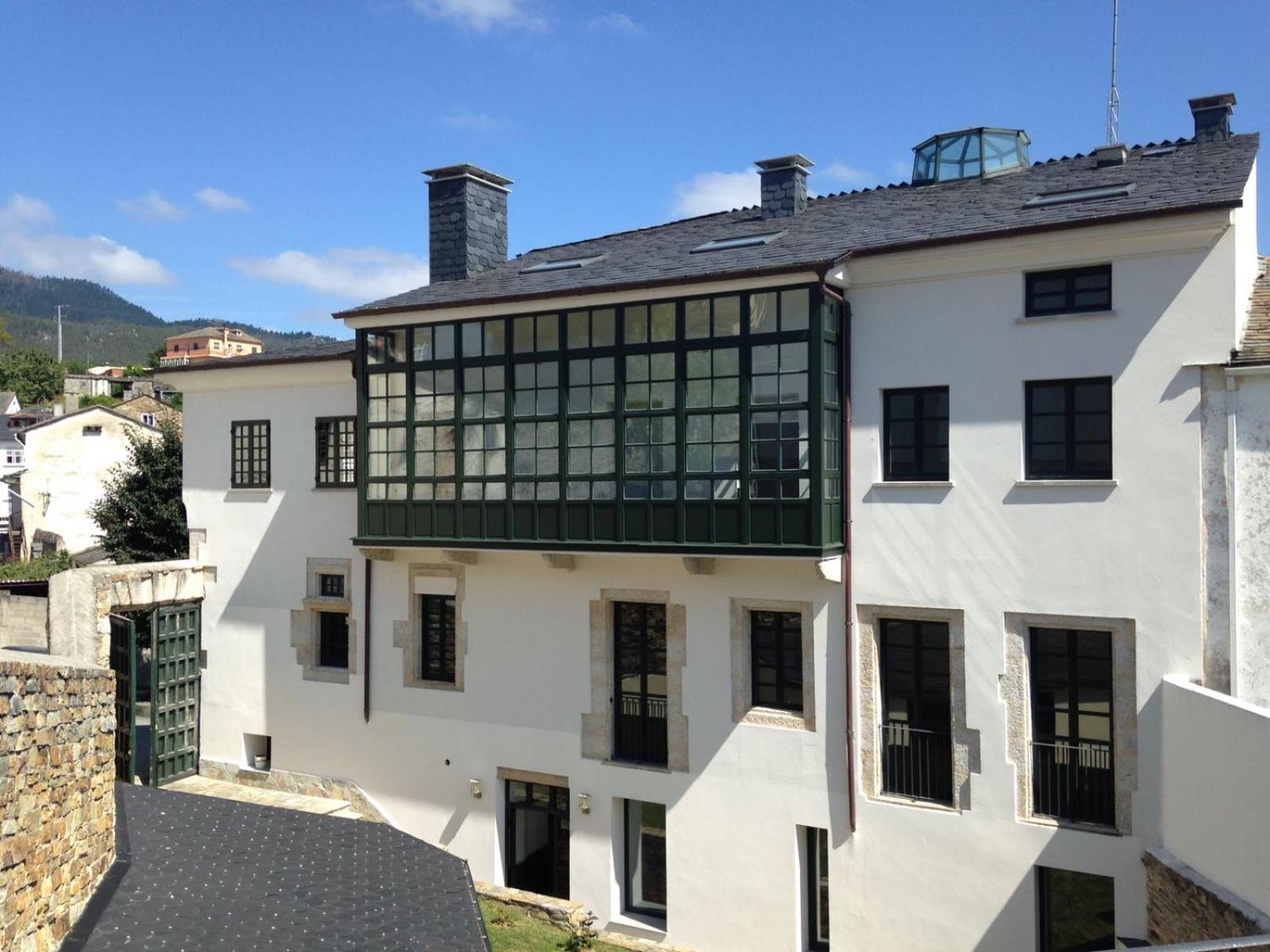
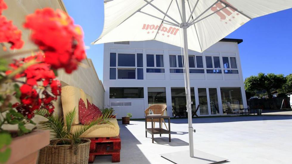
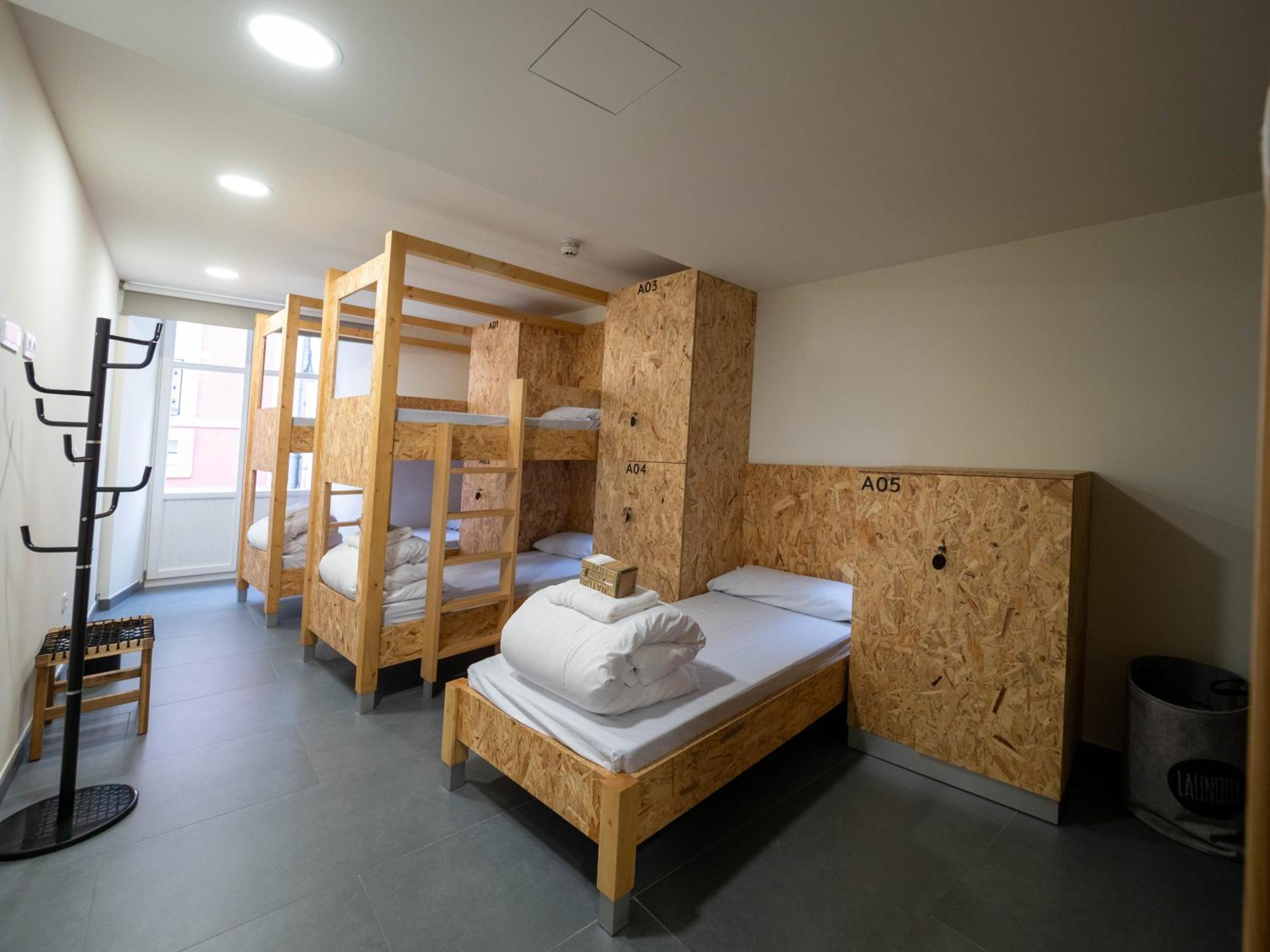
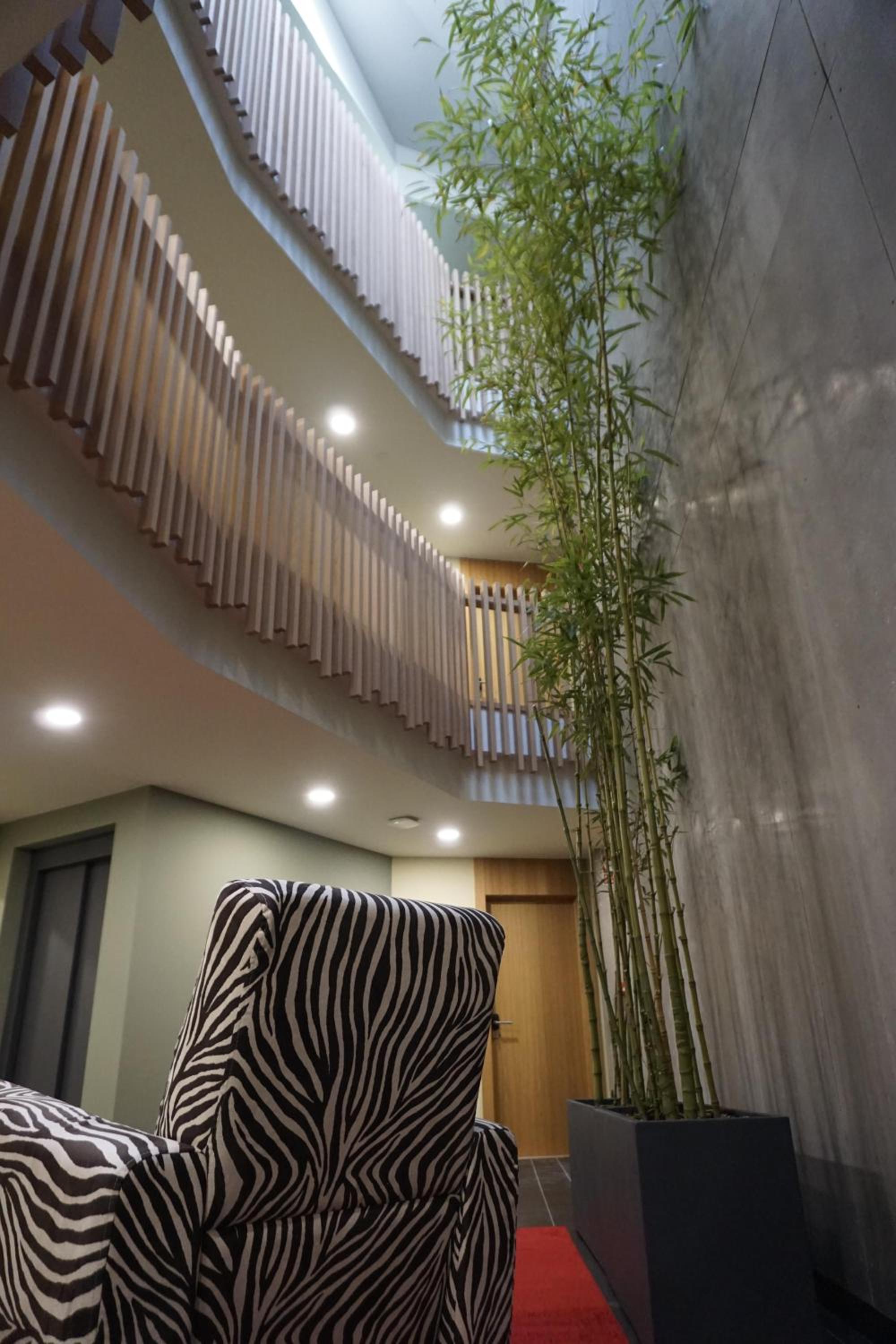
Find the perfect place for your rest in Mondoñedo o Abadín.



Start your adventure
Ready to walk this stage?
We design your personalised Camino de Santiago experience.
Plan your CaminoWalk this route with us
Fancy walking this route?
We don't have a ready-made package for this route yet, but we'll organise it around you. Tell us how you'd like to experience it and a specialist will reply within 24 h.
Request your proposal