Complete Guide to Madrid Path
Start your pilgrimage from the heart of Spain. The Madrid Way crosses the Guadarrama Mountains and the Castilian tableland to join the French Way in Sahagún (León).
Last updated: 28/03/2026
Table of Contents
Technical Summary of Madrid Path
343.3 km
Distance
13
days
13
Stages
Alta
Difficulty
135 accommodations available on the route
Introduction to Madrid Path
It is a well-signposted path that combines mountain with long stretches across the meseta. It offers an unique view of the interior peninsula, allowing pilgrims from central zone to start their journey to Santiago from home.
All Stages of Madrid Path
Complete route divided into 13 stages
Madrid to Tres Cantos
The first stage of the Madrid Way is a long urban and periurban journey that takes the pilgrim out of the great capital. The route, mainly on asphalt, crosses the north of the city and enters the El P...
Three Songs to Manzanares el Real
This stage enters the Regional Park of the Upper Manzanares Valley, at the foot of the Sierra de Guadarrama. The profile is a gentle but continuous ascent, preparing the pilgrim for mountain stages. T...
Manzanares el Real to Cercedilla
This is one of the most beautiful and alpine stages of the Madrid Way. The journey enters the heart of the Guadarrama Mountains, in a high mountain environment. The profile is an ongoing and demanding...
Cercedilla to Segovia
This is the queen stage of the Madrid Way, an impressive high mountain traverse that crosses the Sierra de Guadarrama. The path ascends along the historic Roman Road of Fuenfría, in a beautiful pine f...
Segovia to Saint Mary of Royal Nieva
Leaving behind the monumental Segovia, this stage enters into the Castilian plain. It is a long and hilly journey, mainly flat, that runs through a landscape of cereal fields and pine forests. The rou...
Sanctuary of Our Lady the Royal of Nieve to Coca.
This stage continues through the Segovian countryside, on a flat and beautiful terrain. The landscape is dominated by extensive pine forests that offer pleasant stretches of shade. It's a comfortable ...
Coca al Cañar (not Alcazarén) is actually "Coca al Cañar" which translates to Coca at the Well or Coca near the Spring
This stage marks the transition from the province of Segovia to Valladolid. The road continues to flow through the Land of Pines, on a flat terrain and without difficulties. The route traverses extens...
Zaragoza to Pont du Dordo
This stage is approaching the important city of Valladolid, following in large part along the course of the River Duero. The profile is flat and the landscape is dominated by pines and riverbank veget...
Bridge of Duero to Peñaflor de Hornija
Leaving behind the area of Valladolid, this stage enters into the Montes Torozos, a zone of moors and hills. The profile becomes more demanding, with continuous ups and downs. The landscape is austere...
Penafiel de Hornillos to Medina de Rioseco
This stage descends from the Torozos Mountains to enter the Tierra de Campos region. The profile is mainly descending and flat. The landscape returns to that of large cereal plains, with an infinite h...
Rioseco to Campos de Cuenca
This stage is a total immersion in the Land of Campos. The route is completely flat and runs along dirt tracks that cross a sea of cereal fields. It's a day of great solitude and austere beauty, ideal...
Valley of Campos to Santervás de Campos
This stage continues through the Plain of Tierra de Campos, in a flat terrain and with no difficulties. The landscape remains dominated by cereal fields. It is a transitional day that brings the pilgr...
Santervas de Campos to Sahagún
This is the last stage of the Madrid Way. It's a short and flat journey that brings the pilgrim to the historic village of Sahagún, where the route meets the bustling French Way. The route is an enjoy...
Key Towns of Madrid Path
The most important towns and cities on this route.
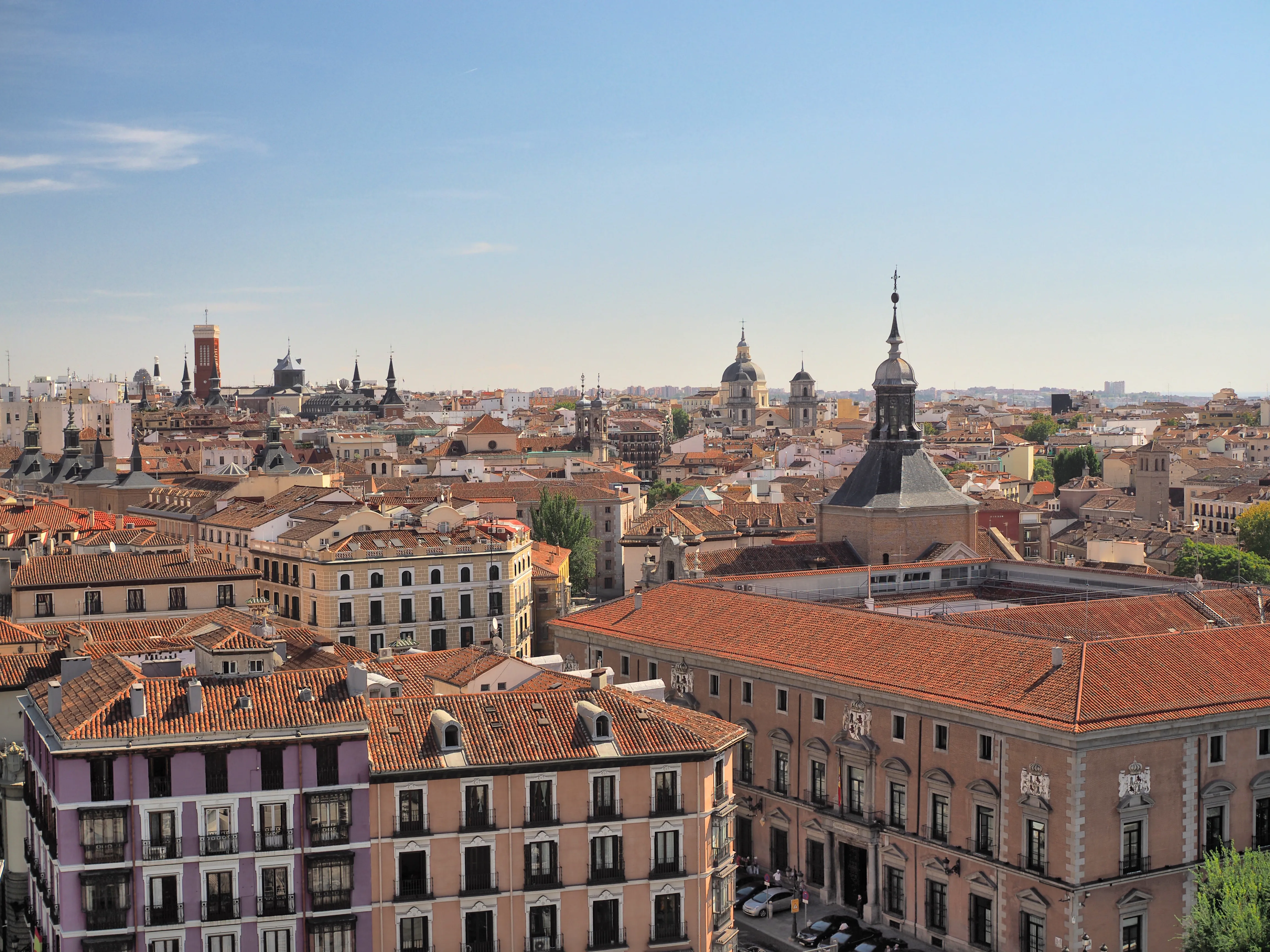
Madrid
Capital of Spain and the starting point of the Madrid Route, a vibrant metropolis that offers pilgrims an urban start to their journey, filled with art, culture, and history before the Meseta.
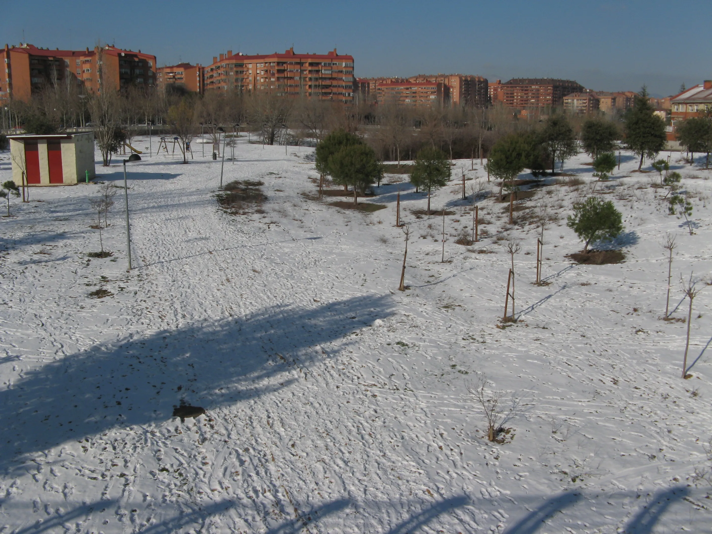
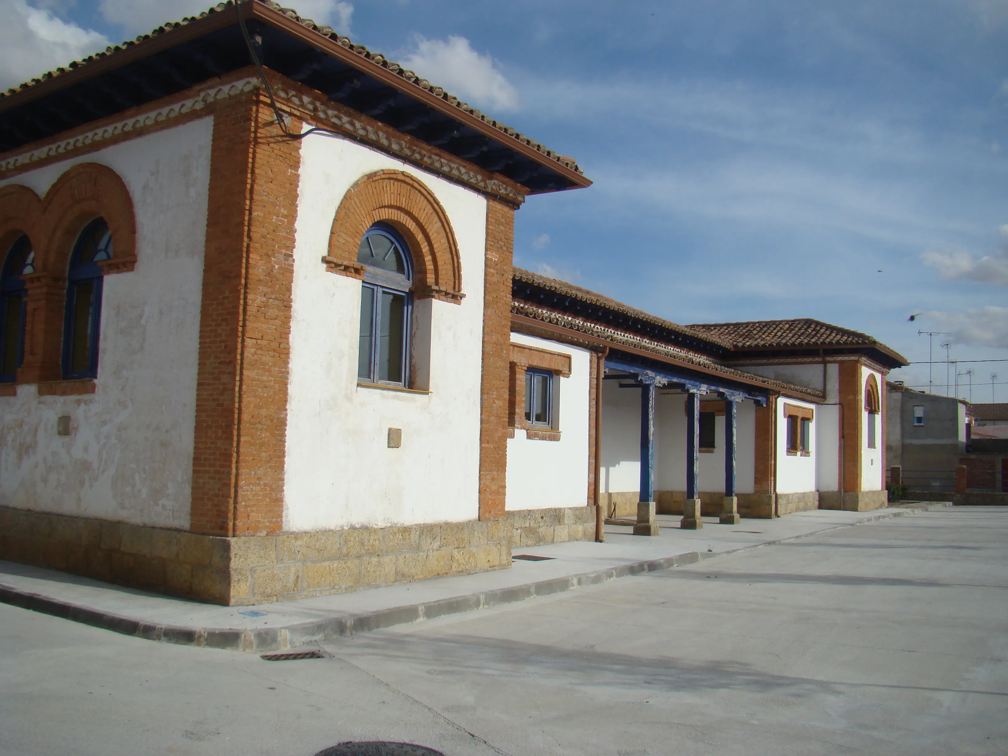
Tres Cantos
Modern city and planned in the Madrid Road. Three Cantos offers pilgrims an initial stage with wide green areas and all services before entering the Guadarrama Mountains.
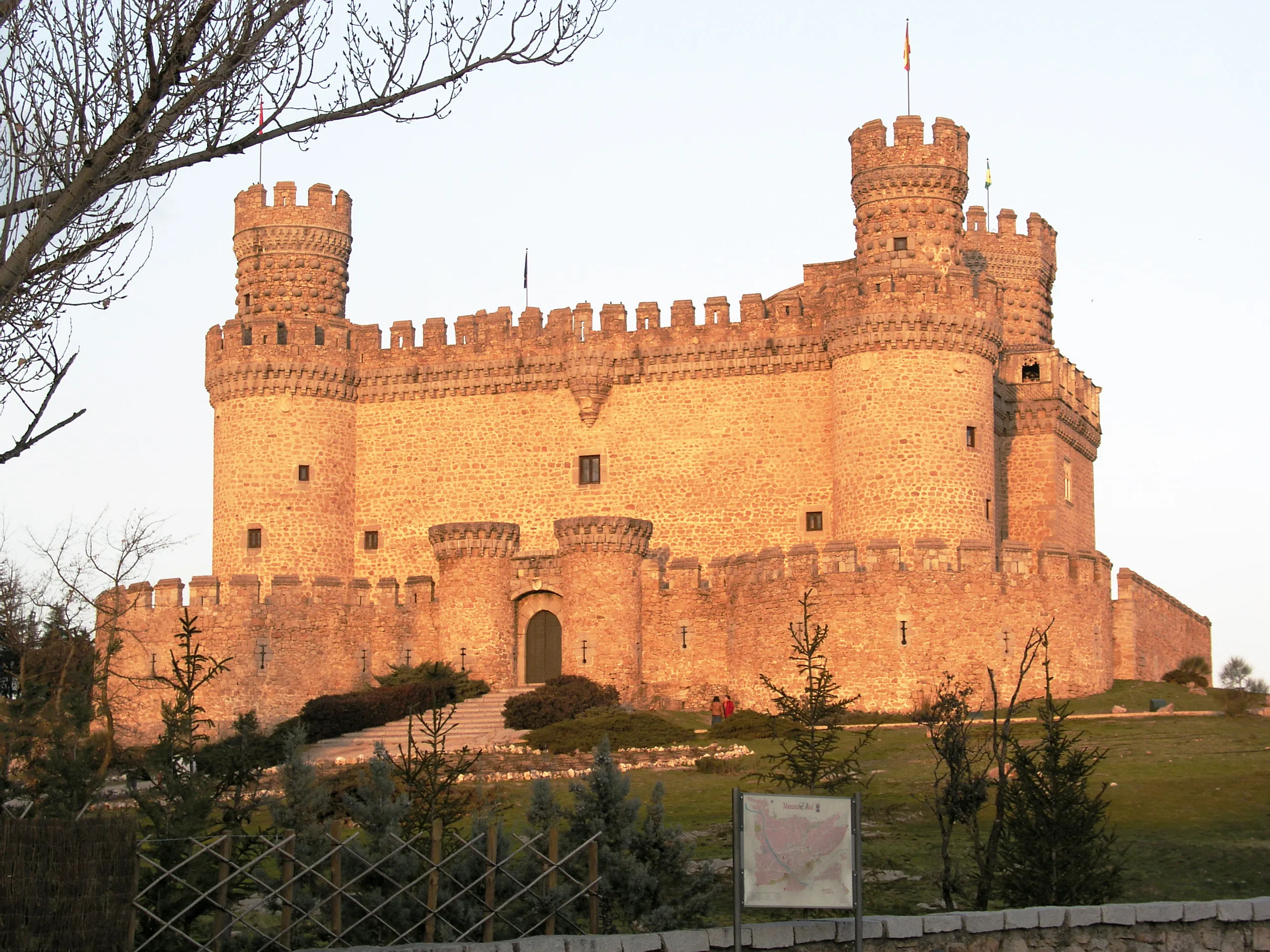
Manzanares el Real
End of the Mendocino Trail and gem of the Guadarrama Mountains. Its spectacular Castle of the Mendozas is one of the best preserved in Spain and an unforgettable stop.
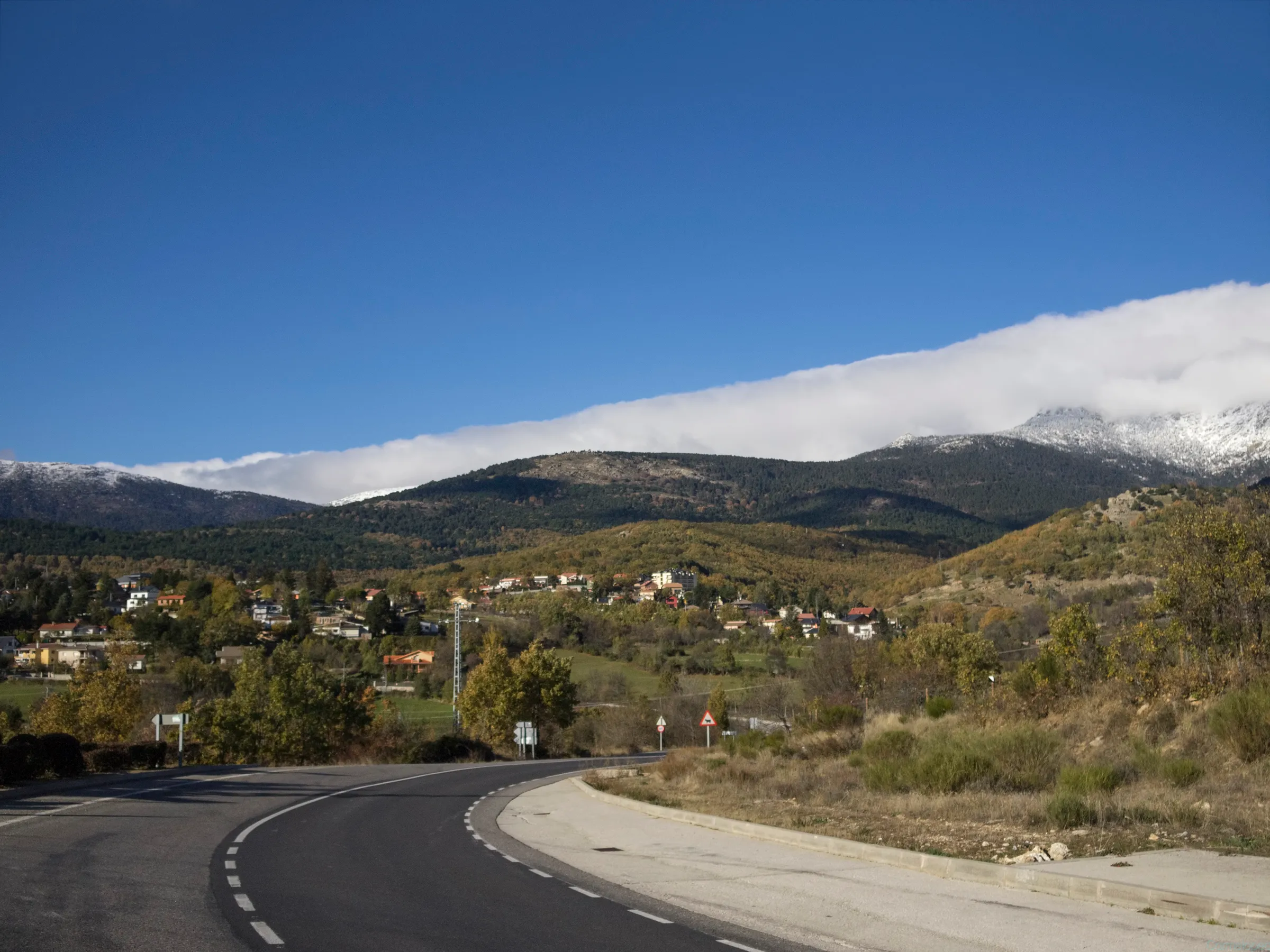
Cercedilla
Mountain village at the foot of the Sierra de Guadarrama. Cercedilla is a mountain enclave on the Madrid Route, ideal for hikers and nature lovers, with Roman road and breathtaking views.

Segovia
City UNESCO World Heritage Site and gem of the Madrid Way. Its Roman Aqueduct, Alcázar, and Cathedral offer the pilgrim an unbeatable culturally stop.
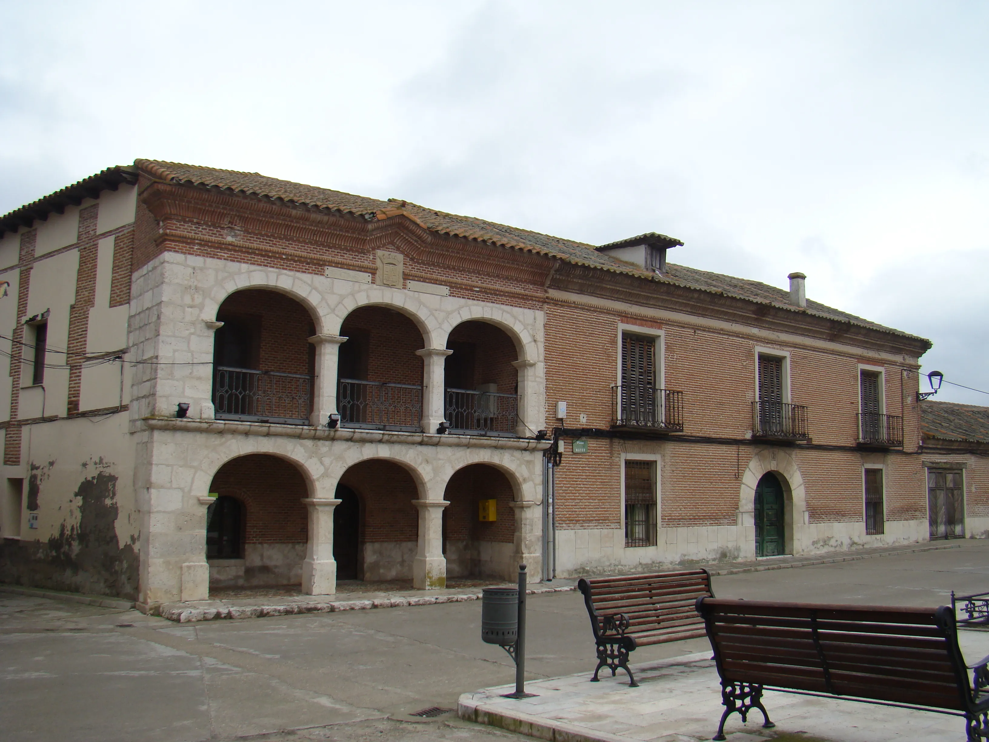
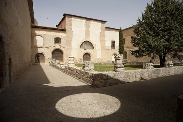
Santa María la Real de Nieva
Villa Segovia with an impressive monastery. Santa Maria la Real de Nieva is a stop with deep historical and artistic value on the Jacobean route, famous for its Gothic-Mudejar cloister.
Coca
Segovian villa with an impressive Mudéjar castle. Coca is a must-see for history lovers, offering one of Spain's most spectacular forts.
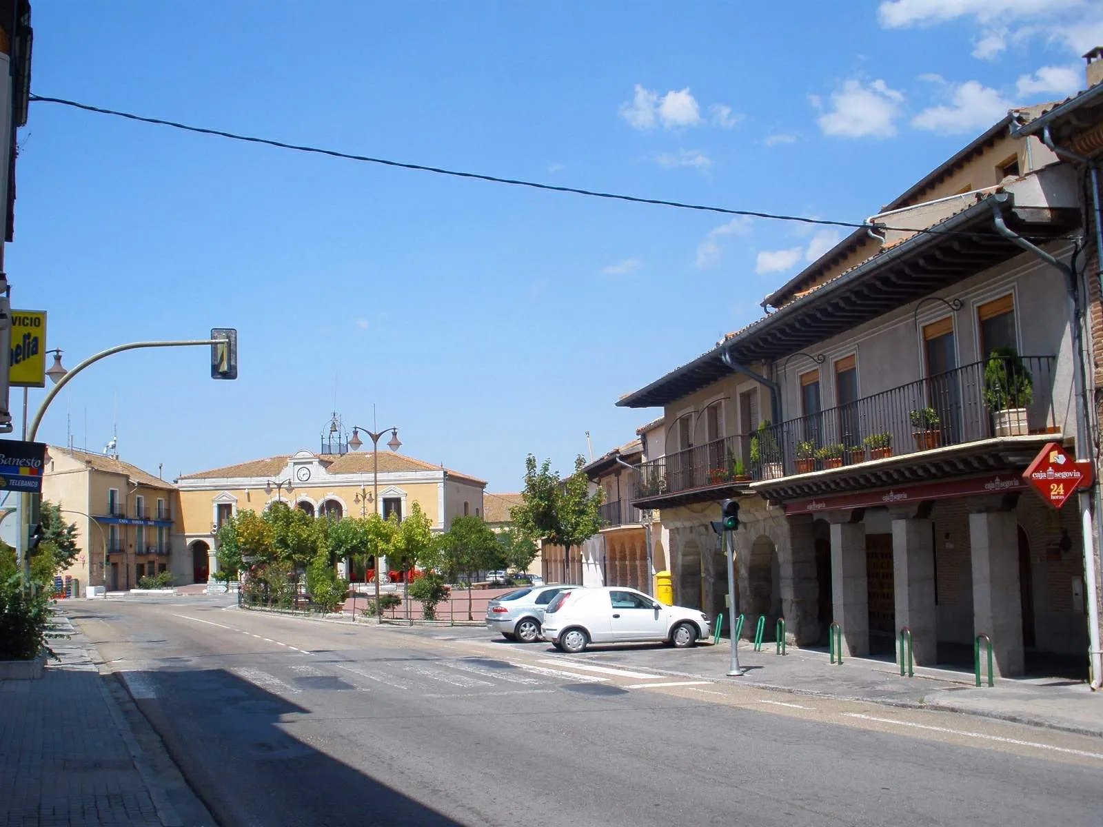
Alcazarén
Small municipality from Valladolid in the Terra de Pinares region. Alcazarén offers the pilgrim a peaceful rest in a rural Castilian setting, surrounded by extensive pine forests.
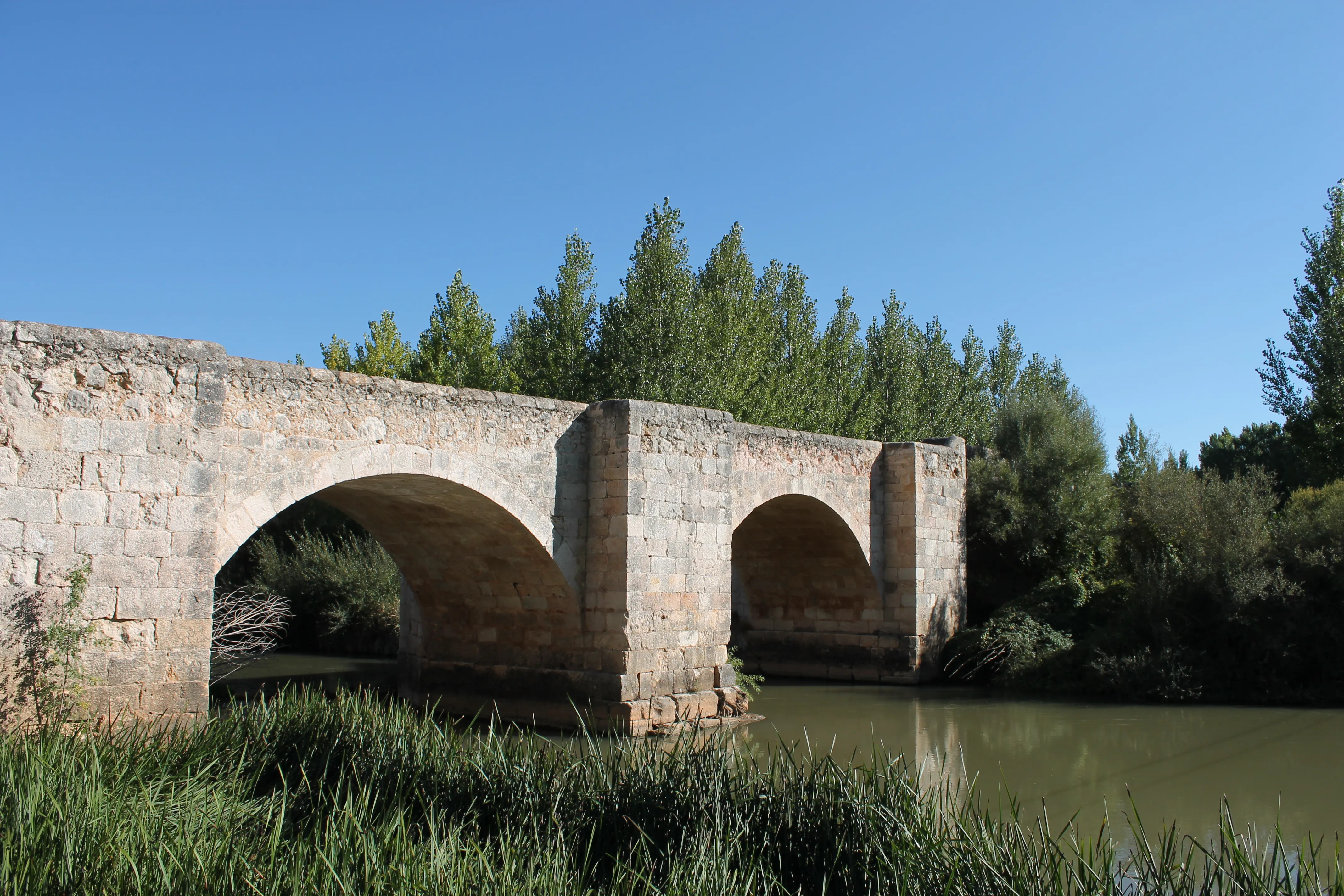
Puente Duero
690 mMedieval town on the banks of the Duero. Famous for its medieval bridge, the Duero Bridge is a peaceful stop with privileged natural surroundings on the Jacobean routes near Valladolid.
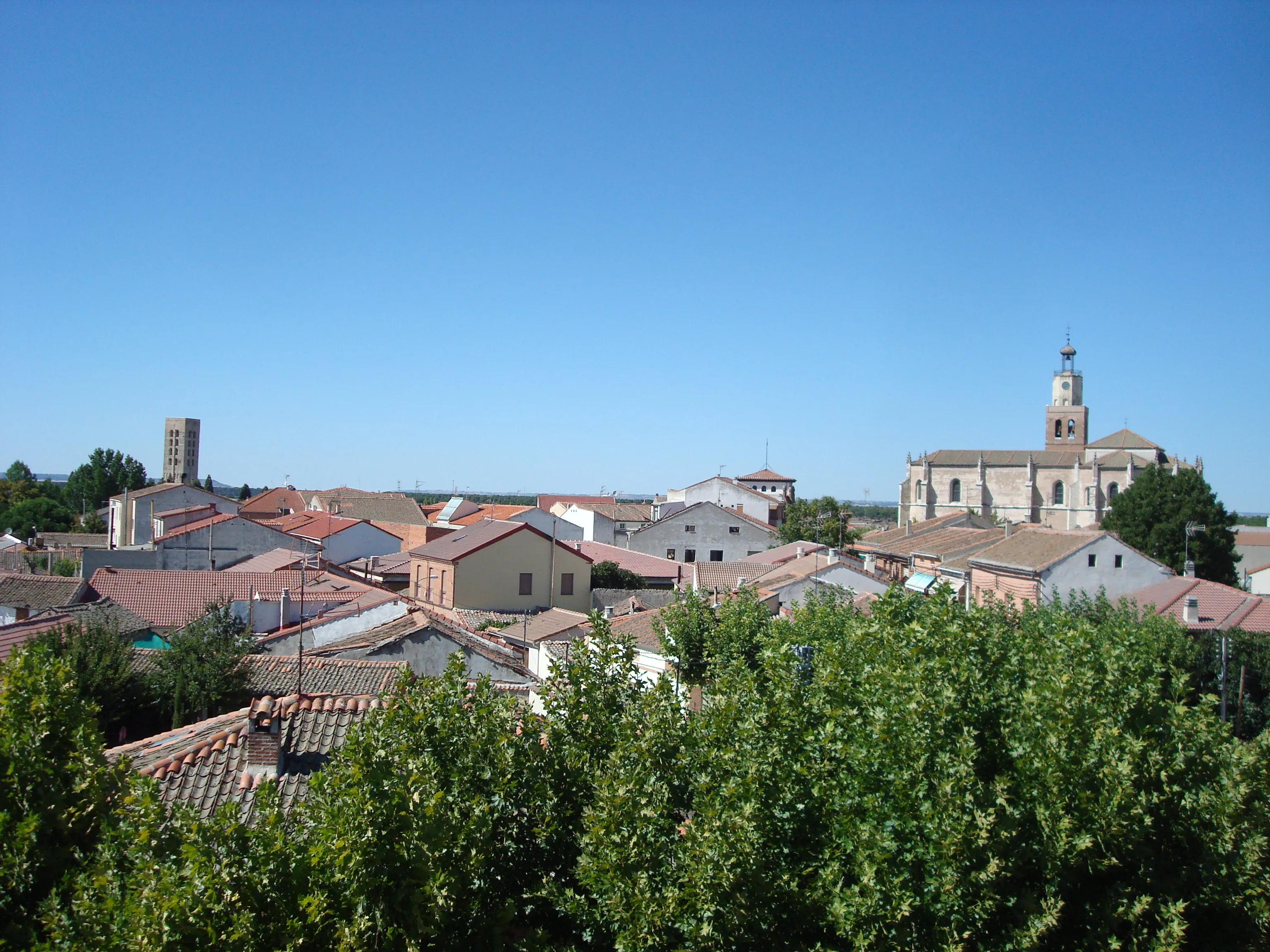
Peñaflor de Hornija
Small town in the Vallisoletan region of the Sierra de Torozos mountains. Penaflores de Hornija offers a rural atmosphere and the tranquility of the Castilian tableland, perfect for a rest stop.
Medina de Rioseco
770 mThe City of Admirals in the Land of Campos. Medina de Rioseco is a monumental stop, famous for its Holy Week and the Canal of Castile, a historic jewel of Valladolid.
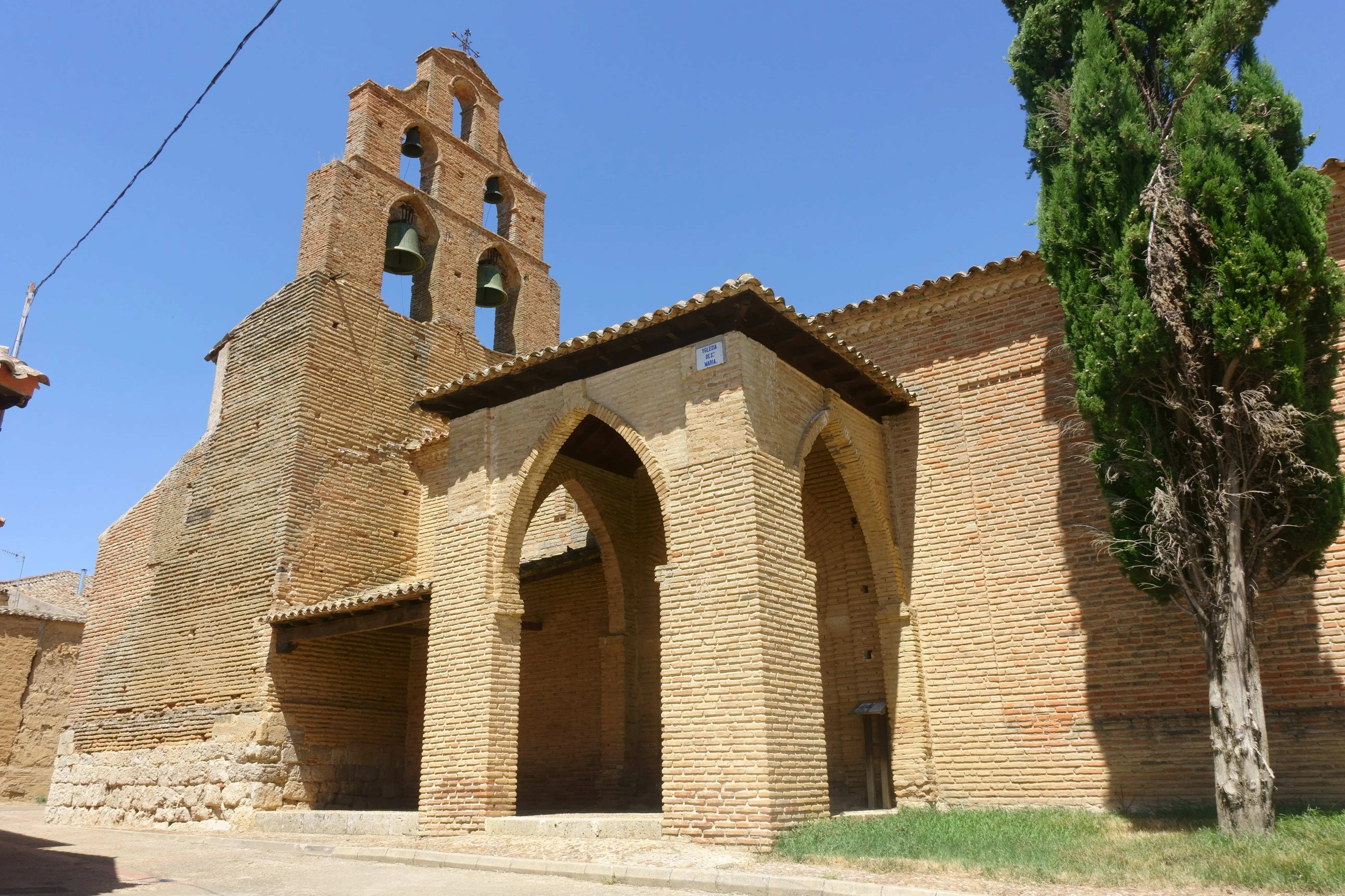
Cuenca de Campos
750 mHeart of the Field Country. The Campos de Cuenca, with its adobe architecture and Mudéjar church, offers an immersion into the essence of the Castilian tableland.
History of Madrid Path
The history of Madrid as a Jacobean starting point is unique. Unlike historic cities on the French Way such as Pamplona, Burgos or León, Madrid was a secondary village of importance during the Middle Ages and does not appear in medieval texts like the Códice Calixtino as an initial route. Its destination changed radically in 1561 when King Philip II made it the permanent capital of Spain. From then on, Madrid became the central hub of the radial network of roads in the peninsula. It is logical to assume that from that moment on, pilgrims of the court, officials and inhabitants of the growing city who wanted to walk to Santiago began their journey from the capital itself, following routes leading north-west.
The current route known as the Way of Madrid takes advantage of these historical routes. Its most emblematic and ancient section is the crossing of the Sierra de Guadarrama. To overcome this formidable natural barrier, the path follows the route of a Roman road of the 1st century that ascended to the Puerto de la Fuenfría. This mountain pass, with its Roman bridges and pine forest, is one of the most beautiful and evocative segments of any Jacobean route, an authentic journey through time.
However, the articulation of the Way of Madrid as a continuous, signposted, and infrastructure-supported route is a phenomenon from the end of the 20th century. The main merit lies with the Association of Friends of Santiago's Ways in Madrid, founded in 1987, which embarked on the monumental task of researching historic passes, defining the most logical itinerary, signaling it with yellow arrows, and editing the first guides. Their work and that of the volunteers who followed them rescued this connection from oblivion and, in practice, "created" the Way of Madrid for modern pilgrims.
The itinerary starts at the Church of Santiago and John the Baptist in the center of Madrid. After leaving behind the great city, it enters the pre- Sierra de Guadarrama and faces the challenge of the mountain range. Once on the Segovian side, the landscape changes dramatically, giving way to vast plains of Castile and León. The path passes through villages loaded with history and art Mudéjar such as Santa María la Real of Nieva, and goes through important cities like Valladolid.
The final objective of this route is to reach the historic village of Sahagún in the province of León. Sahagún was one of the most powerful centers of power on the French Way due to its immense Cluniacense monastery. It is here that pilgrims from Madrid join the great river of walkers coming from France, to share the final stages until Santiago. Today, the Way of Madrid is a consolidated and increasingly popular route, an excellent option offering the unique experience of starting the pilgrimage from Spain's heart.
Accommodations on the Route
The Madrid Path has 135 verified accommodations along the entire route.
View Stages & AccommodationsPractical Tips for Madrid Path
Best Season
Spring (April-June) and autumn (September-October) are the best seasons. Pleasant temperatures and fewer crowds than summer.
Physical Preparation
Train by walking progressively in the months before. Start with short distances and increase. Your body will adapt to the rhythm of the Camino.
What to Pack
Light backpack (max 10% of your weight), worn trekking shoes, breathable technical clothing, raincoat, sunscreen and basic first aid kit.
General Tips
Carry the pilgrim credential, stay hydrated, respect your pace, book accommodation in high season and enjoy the journey without rushing.
FAQ about Madrid Path
El Camino de Madrid tiene una duración estimada de 13 días, recorriendo unos 343 kilómetros. La ruta presenta un alto nivel de dificultad debido a la travesía por la Sierra de Guadarrama y las extensas llanuras de Castilla.
La mejor época para hacer este camino es durante abril, mayo, septiembre o octubre. En estos meses, se logra un equilibrio entre climatología favorable y afluencia moderada de peregrinos.
Con tu reserva en Ourway Travel para el Camino de Madrid, obtienes alojamiento asegurado cada noche, un itinerario detallado y asistencia 24/7 durante toda la ruta. Además, gestionamos todas las reservas necesarias para que puedas concentrarte en disfrutar del viaje.
El Camino de Madrid ofrece una experiencia única al comenzar desde Madrid y cruzar la Sierra de Guadarrama, ofreciendo vistas panorámicas y un recorrido más desafiante que las rutas costeras o urbanas. A diferencia del Camino Francés, este itinerario es menos transitado y permite disfrutar de una mayor tranquilidad durante el viaje.
Para organizar tu peregrinación por el Camino de Madrid, es fundamental asegurar alojamiento en las ciudades más pequeñas y reservar con antelación durante la temporada alta. Además, es importante obtener una credencial del peregrino y contratar servicios como el transporte de equipaje si viajas con mochila.
El costo total para hacer el Camino de Madrid con Ourway Travel puede variar dependiendo del tipo de alojamiento y servicios adicionales que elijas. En promedio, nuestro paquete completo suele oscilar entre 800 a 1200 euros por persona, incluyendo todas las noches de hotel y asistencia personalizada.
El Camino de Madrid te permite comenzar la peregrinación desde una ubicación central como Madrid, ofreciendo un recorrido cultural y geográfico único. A diferencia del Camino Portugués o Gallego, este camino es más desafiante y ofrece vistas panorámicas de la Sierra de Guadarrama y las llanuras castellanas.
Para reservar tu peregrinación en el Camino de Madrid, simplemente contacta con nuestro equipo a través de nuestra página web. Proporcionamos un formulario sencillo donde puedes indicar tus preferencias y fechas deseadas. Nuestros expertos se pondrán en contacto contigo para finalizar la reserva.
Ready for this adventure?
Let us organize your pilgrimage. We take care of accommodations, transfers and everything you need.