Camino de Santiago
Bayonne Way
The Way of Bayonne is a historic Jacobean route from Bayonne (France) to Burgos. It passes through the Basque Country and La Rioja, serving as an alternative internal route to connect with the French Way.
Organize your Bayonne WayLast updated: 21/05/2025
The Route
General Description of Bayonne Way
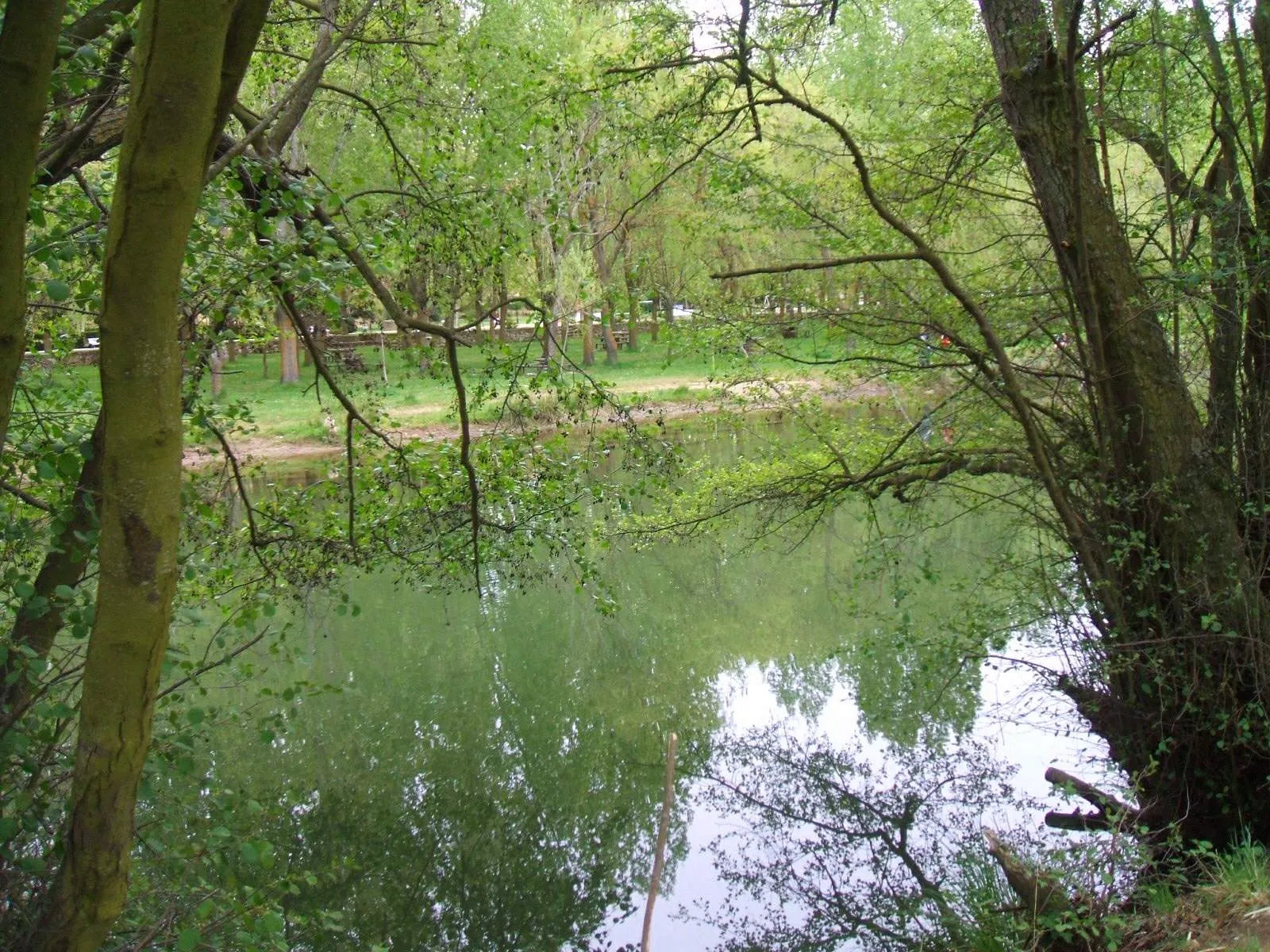
It offers a rich experience in history and culture, traversing varied landscapes. Although it sometimes overlaps or gets confused with the Vasco Interior Way, the Via de Bayona has its own identity as a connection route from France to the heart of the Way of St. Francis.
Related Routes
Connections of Bayonne Way
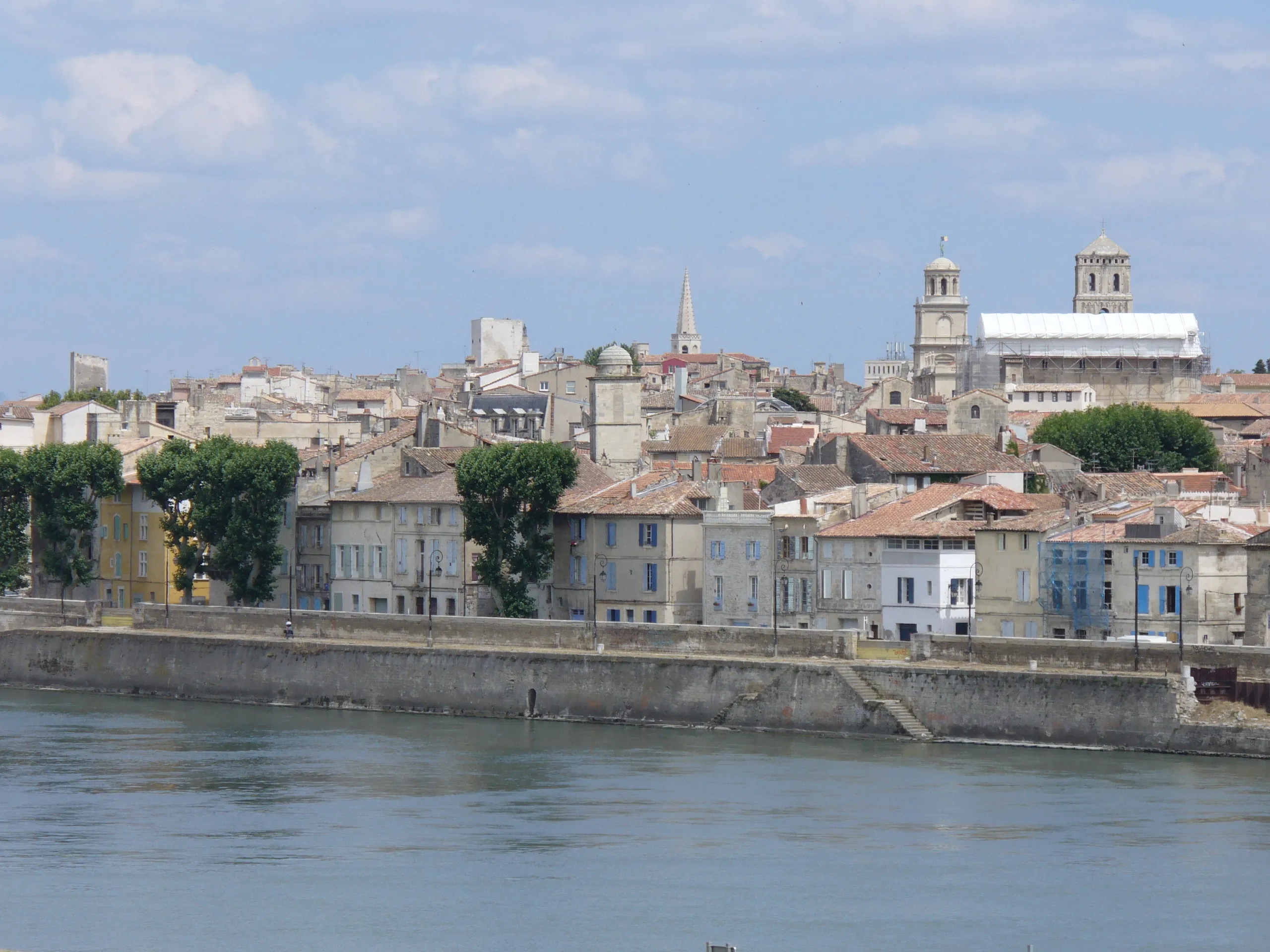
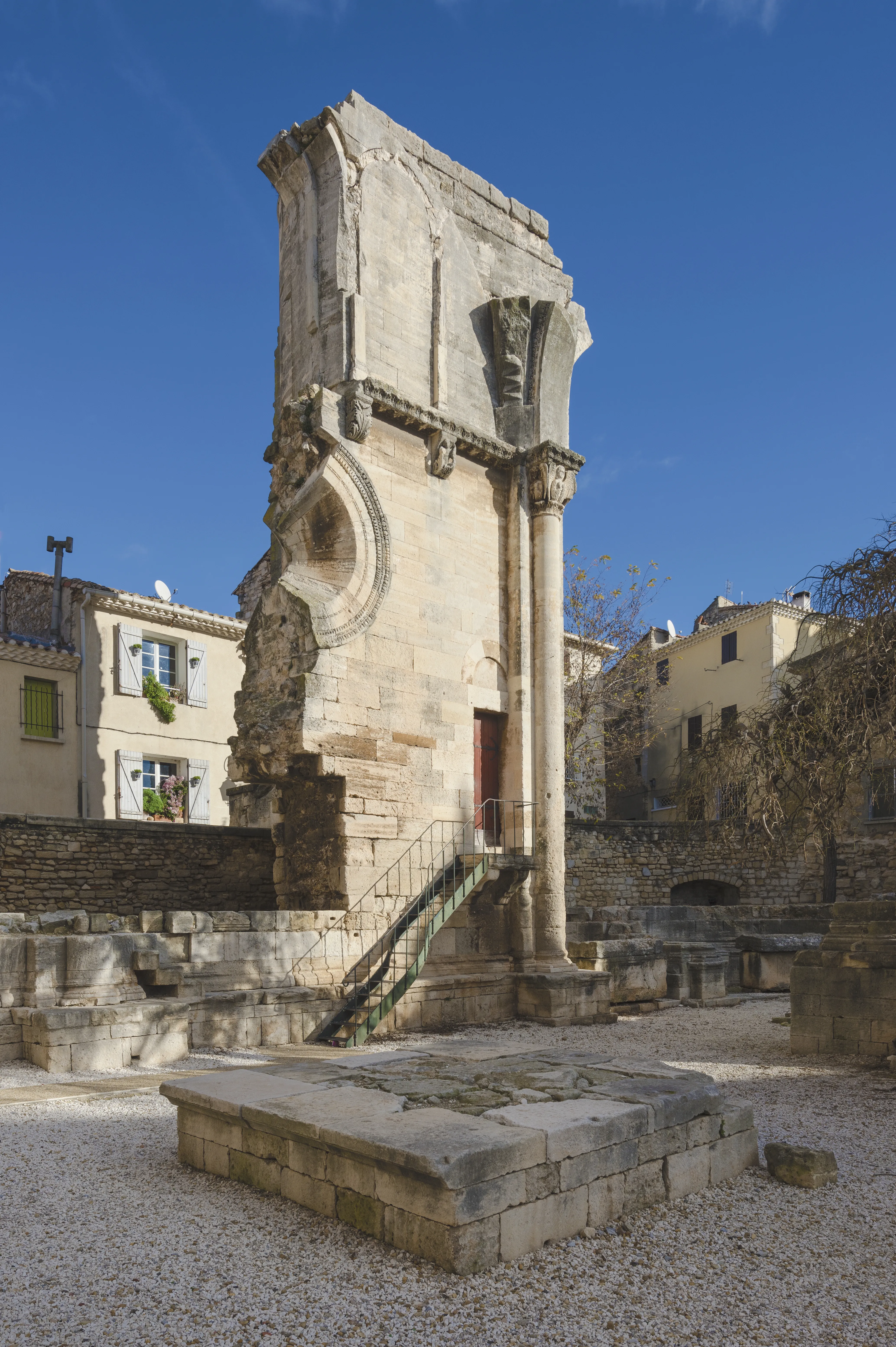
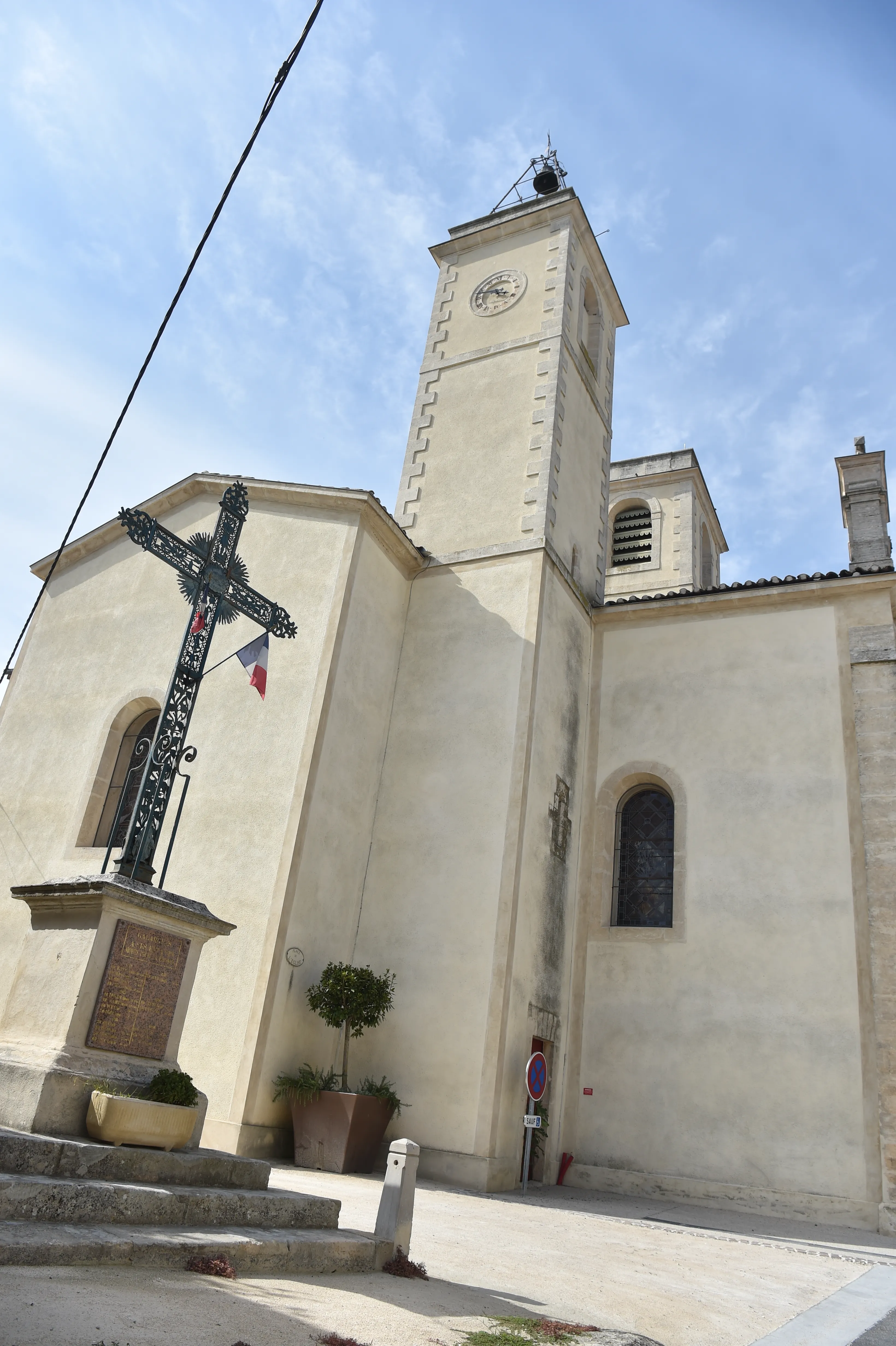
Route of Arles
790.6 km
33
Media
The Way of Arles, or the Via Tolosana, is one of the four major historical routes that cross France. Part of Arles in Provence and heading west through southern France (Languedoc). Crossing Spain at the Somport port, where it becomes the Aragonese Way, which converges with the French Way in Puente la Reina.
Its route in France is approximately 800 km. It is a richly endowed Roman and medieval heritage route that passes through cities such as Montpellier, Toulouse and Oloron-Sainte-Marie.
Stages of this variant:
Stage 1: Arles to Saint-Gilles (Gard)
Stage 2: Saint-Gilles (Gard) to Gallargues-le-Montueux
Stage 3: Gallargues-le-Montueux to Vendargues
Stage 4: Vendargues near Montpellier
Stage 5: Montpellier to Montarnaud


The French Way
779 km
33
Media
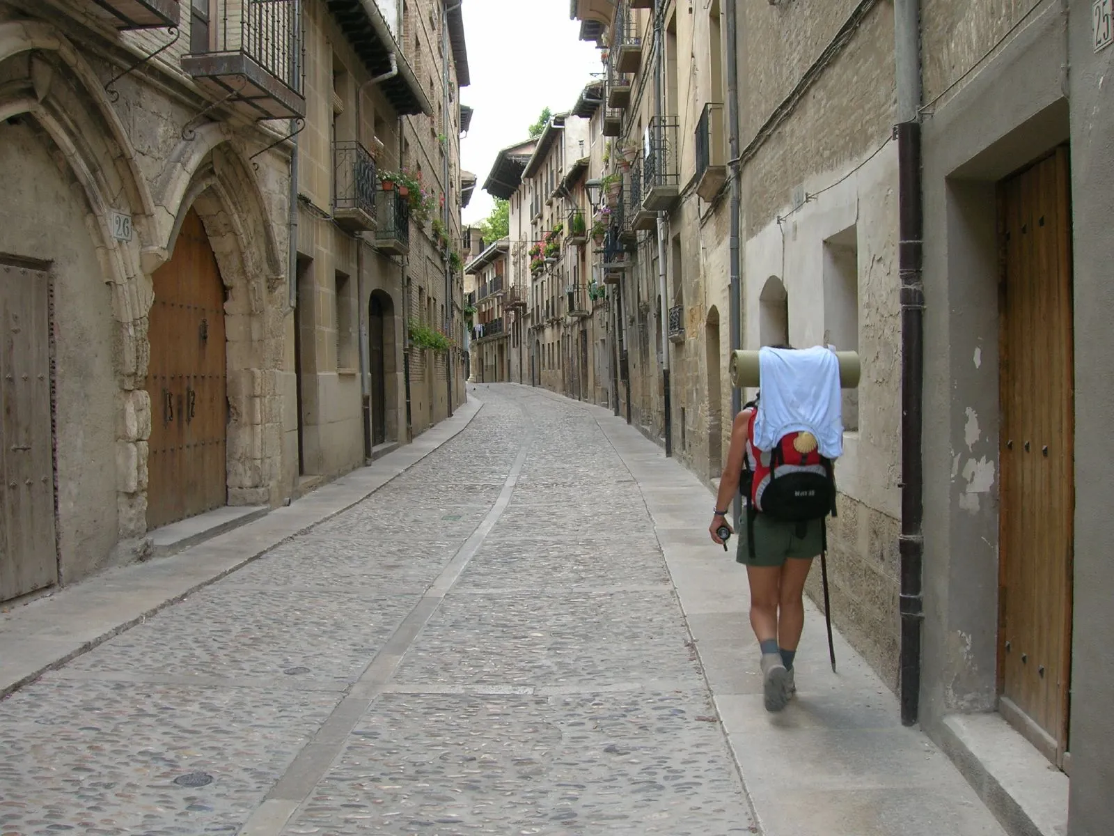
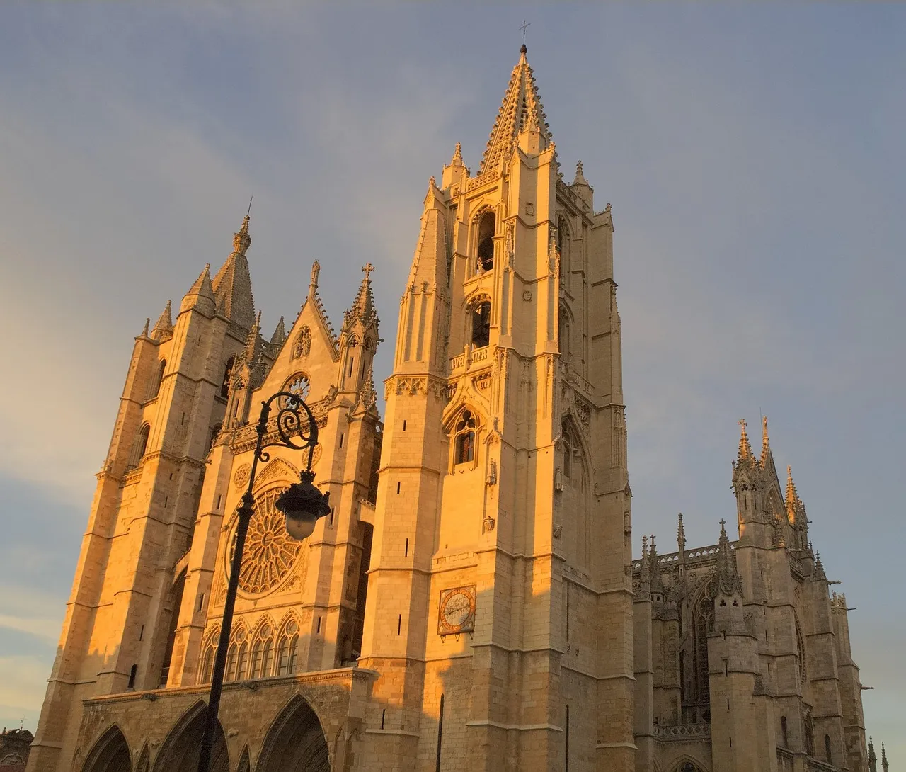
The Camino Francés is the pilgrimage route to Santiago de Compostela of excellence, chosen by thousands of pilgrims every year. With a journey of approximately 780 km from Saint-Jean-Pied-de-Port or less from Roncesvalles, it traverses northern Spain. This path, declared a World Heritage Site by UNESCO, offers exceptional infrastructure for services and hostels.
Pilgrims traverse Navarra, La Rioja, Castile and León, and finally Galicia, marveling at monumental cities such as Pamplona, Burgos, and León, and charming villages. The diversity of its landscapes is one of its greatest attractions, from the Pyrenees and the Castilian plains to the green forests of Galicia. It's a physical and spiritual journey that leaves an indelible mark, ideal for both experienced pilgrims and those starting out on the Camino de Santiago.
Stages of this variant:
Stage 1: St. Jean Pied de Port to Roncesvalles
Stage 2: Roncesvalles to Zubiri
Stage 3: Zubiri is going to Pamplona.
Stage 4: Pamplona to Pontevedra
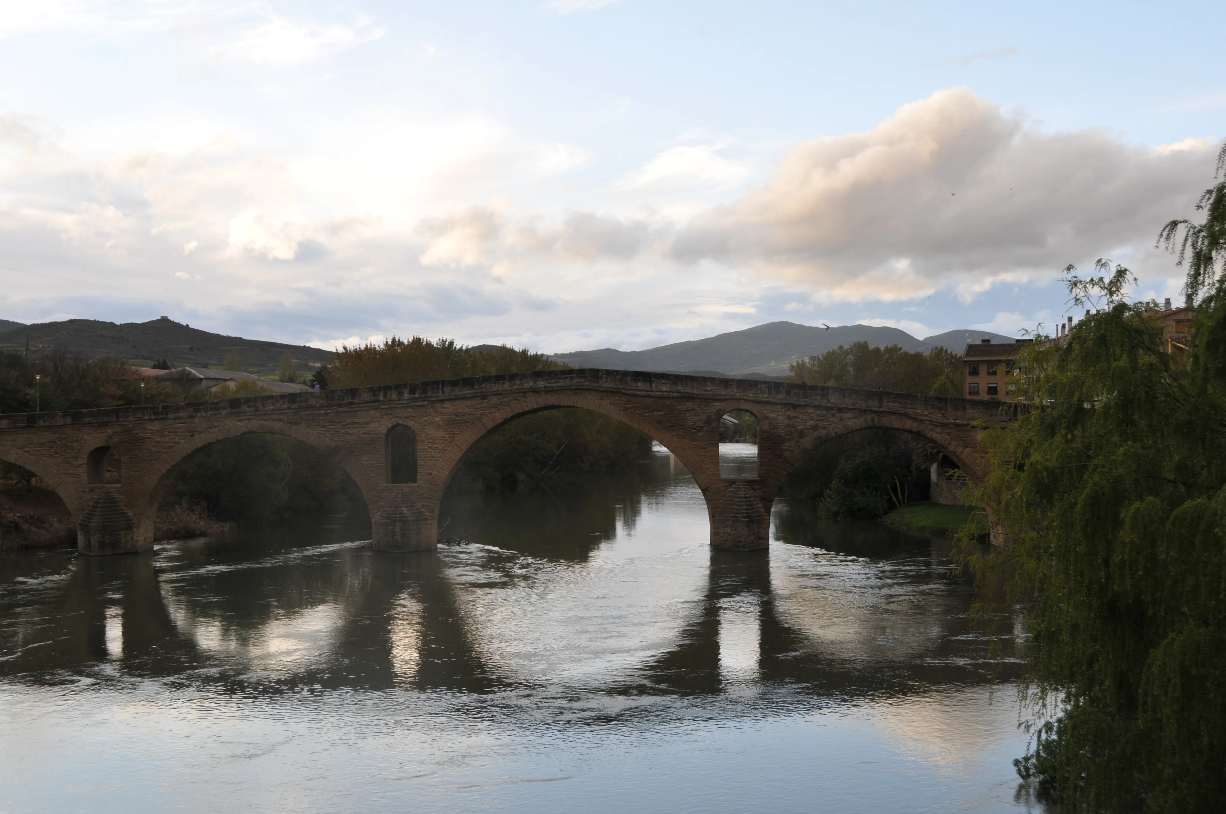
Stage 5: Bridge of Queen to Estella

Way of Baztan
108.4 km
5
Media
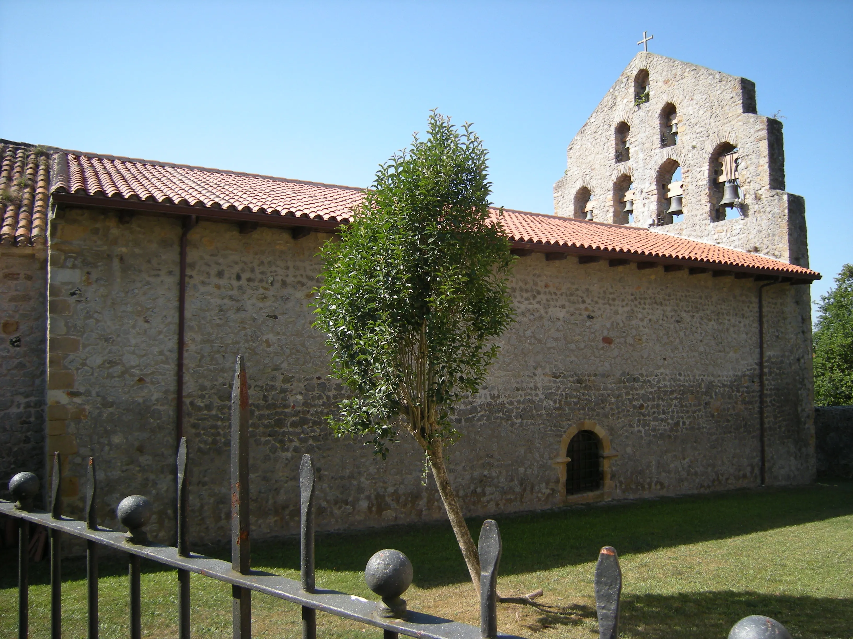
The Baztán Way is an ancient and beautiful Jacobean route that connects Bayonne (France) with Villava, at the gates of Pamplona, where it links up with the French Way. With a 108 km journey, it crosses the Pyrenees via a lower pass than Roncesvalles, following the course of the Bidasoa River and crossing the spectacular Baztán Valley.
It is known for its green landscapes, traditional farmhouses, and rich Navarran culture. It offers a shorter and less crowded alternative to enter Spain, ideal for those seeking a different Pirencean experience and closer contact with nature.
Stages of this variant:
Stage 1: Bayonne to Suraide
Stage 2: Souraide to Amaiur/Mya
Stage 3: I'm not familiar with this phrase. Can you provide more context or information about it?
Stage 4: Berrone to Olague
Stage 5: Olagüe to Pamplona
Your trip with Ourway
Everything you need for your Camino
No hassle. Your perfect route, from start to finish.
Accommodation
Selected hotels and hostels at every stage
Luggage transfer
Your backpack travels from stage to stage
Camino Guide
Detailed map with directions and services
24h Support
Team available for any unforeseen event
Pilgrim credential
Official documentation included
No commitment
Free personalized consultation
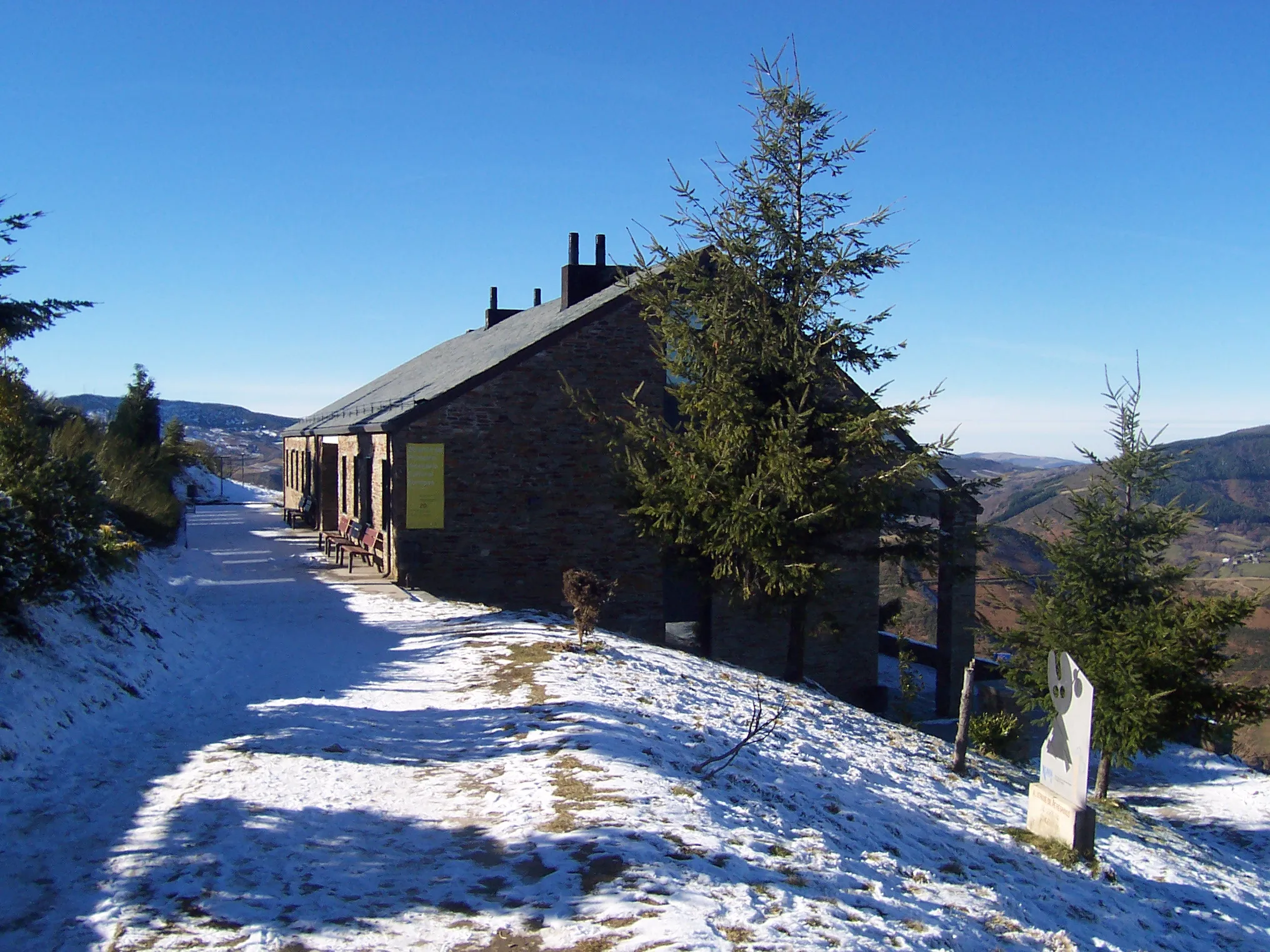
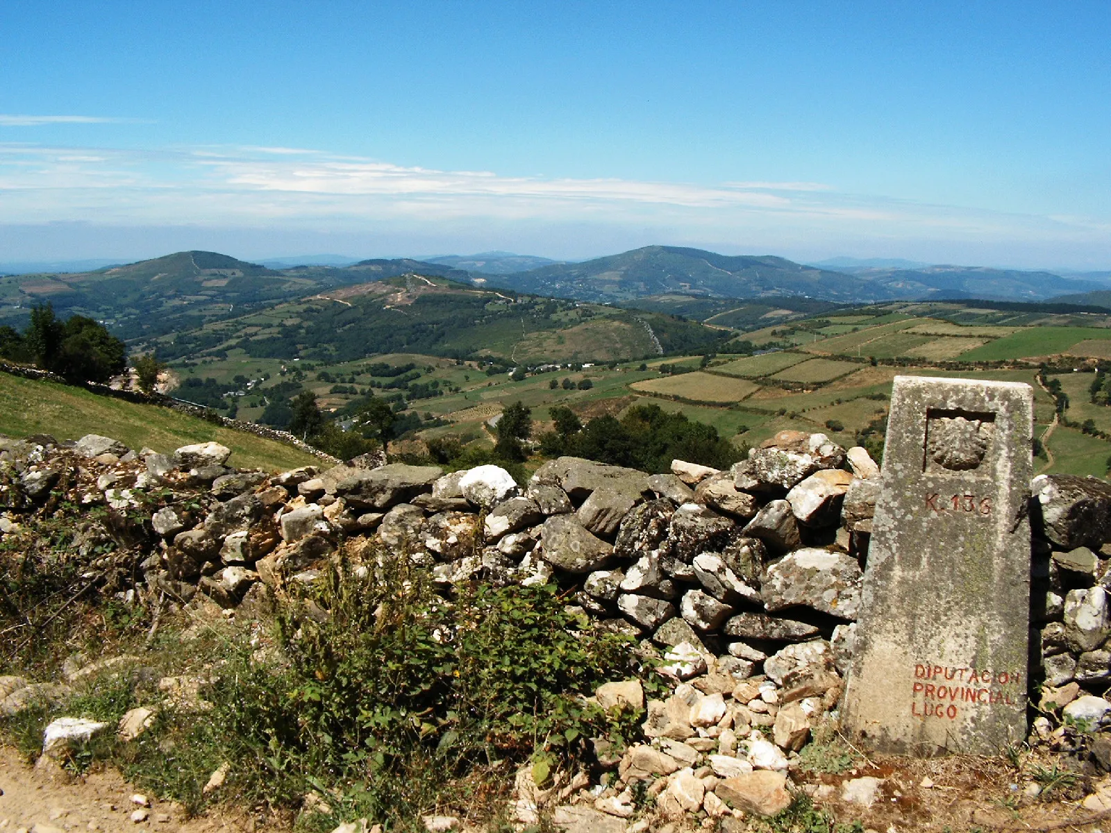
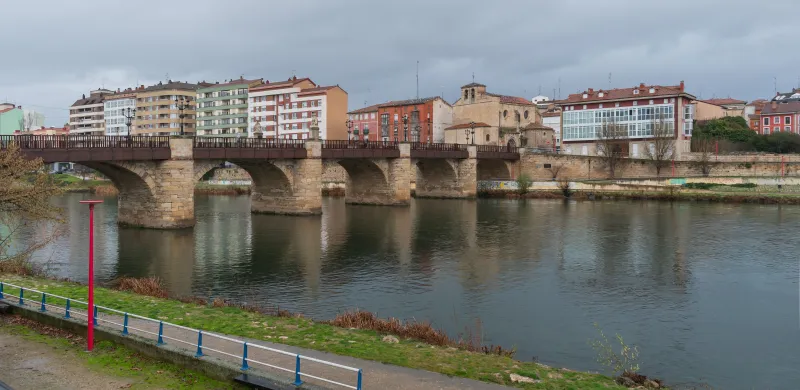
Stages
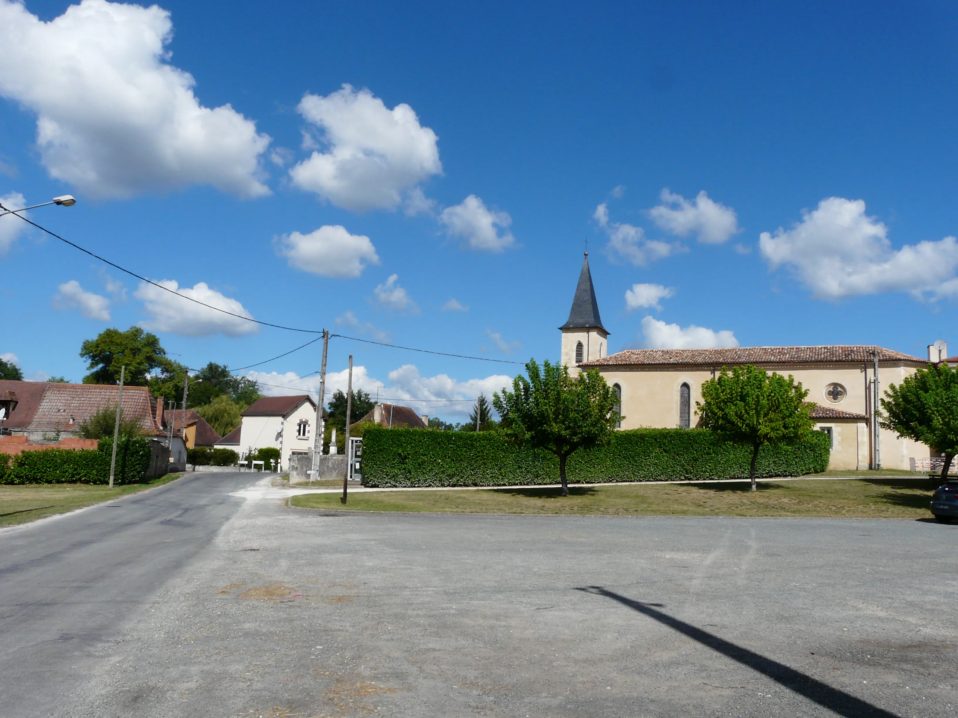
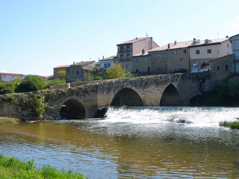
Stages of Bayonne Way
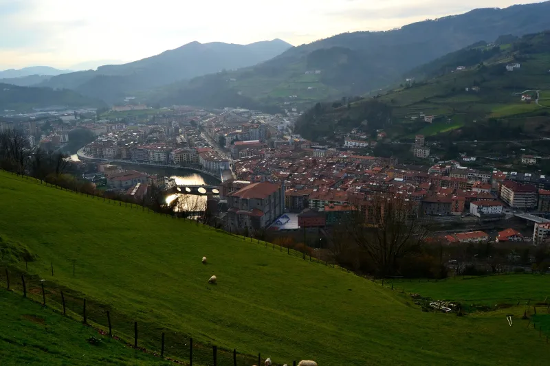
Bayona → Irún
First stage of the Via Bayonne, historical route that links Bayonne (France) with the French Way via Pamplona or the Inland Basque Way via Vitoria. The 26 km run along the French Basque coast until th...
Irún → Hernani
The first stage of the Vasco-Interior Way is an demanding day that ventures into Guipuzcoan mountains. The route leaves the coast to ascend over a broken terrain with steep slopes. The route passes th...
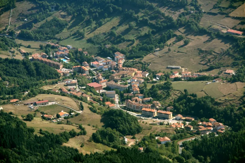
Hernani → Tolosa
This stage continues through the heart of Gipuzkoa, in a medium mountain terrain. The profile is a continuous "rocky slope", with constant ups and downs through a landscape of valleys and hills. The r...
Tolosa → Beasain
This stage enters the heart of rural Guipuzcoa, the Goierri region's comarca. The profile is demanding, a continuous rise and fall through a mountain landscape of great beauty. The route passes throug...
Beasain → Zegama
Mountainous stage of the Inland Basque Way (shared with the Via Bayona) that goes into the mountains of Aralar and Aizkorri. The 16 km link Beasain with Zegama through the valley of the Oria, with a c...
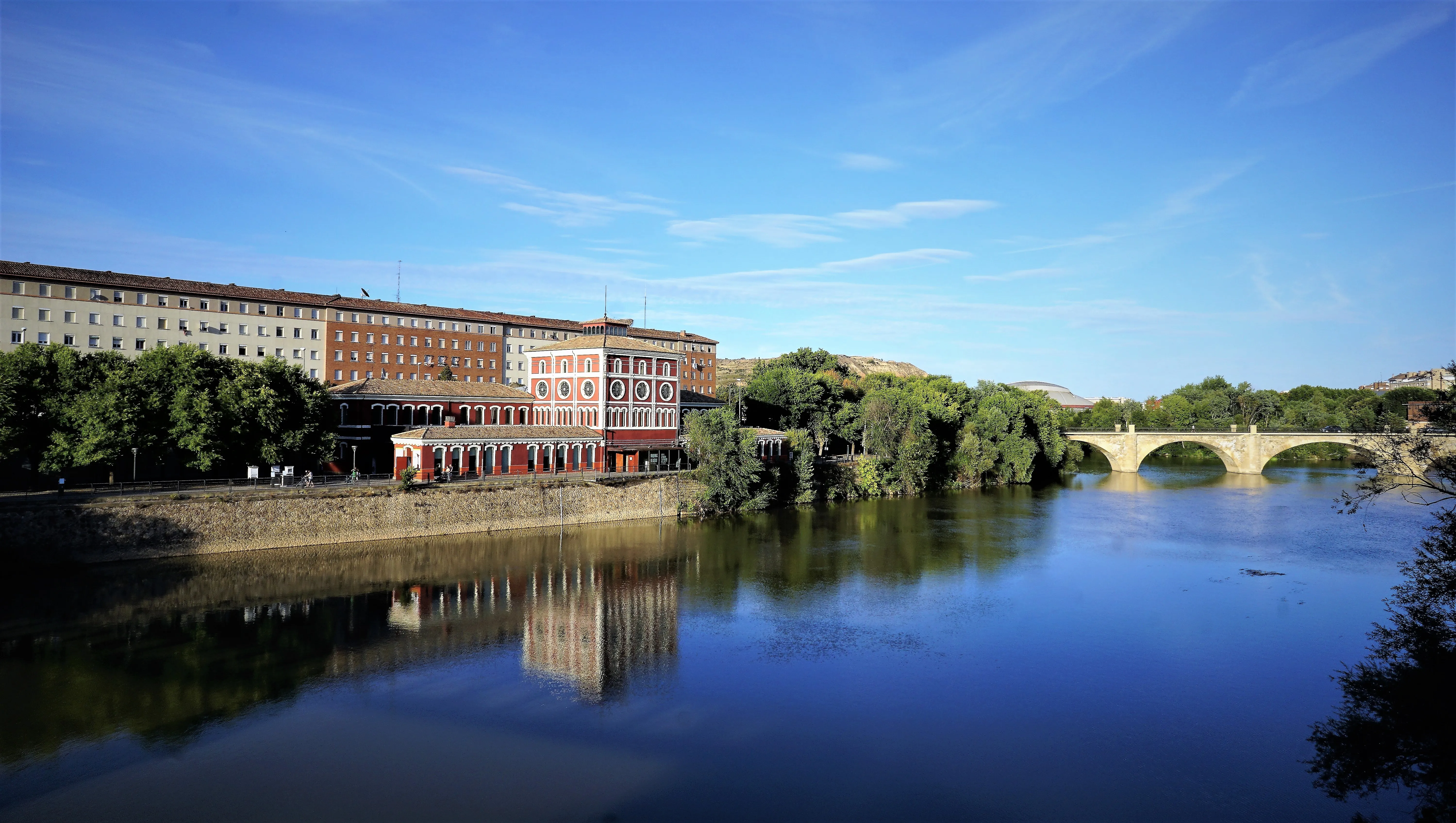
Zegama → Salvatierra / Agurain
After the ruggedness of the mountain, this stage is an enjoyable stroll through the Llanada Alavesa. The profile is completely flat and runs through a landscape of fields of cultivation. It's a comfor...
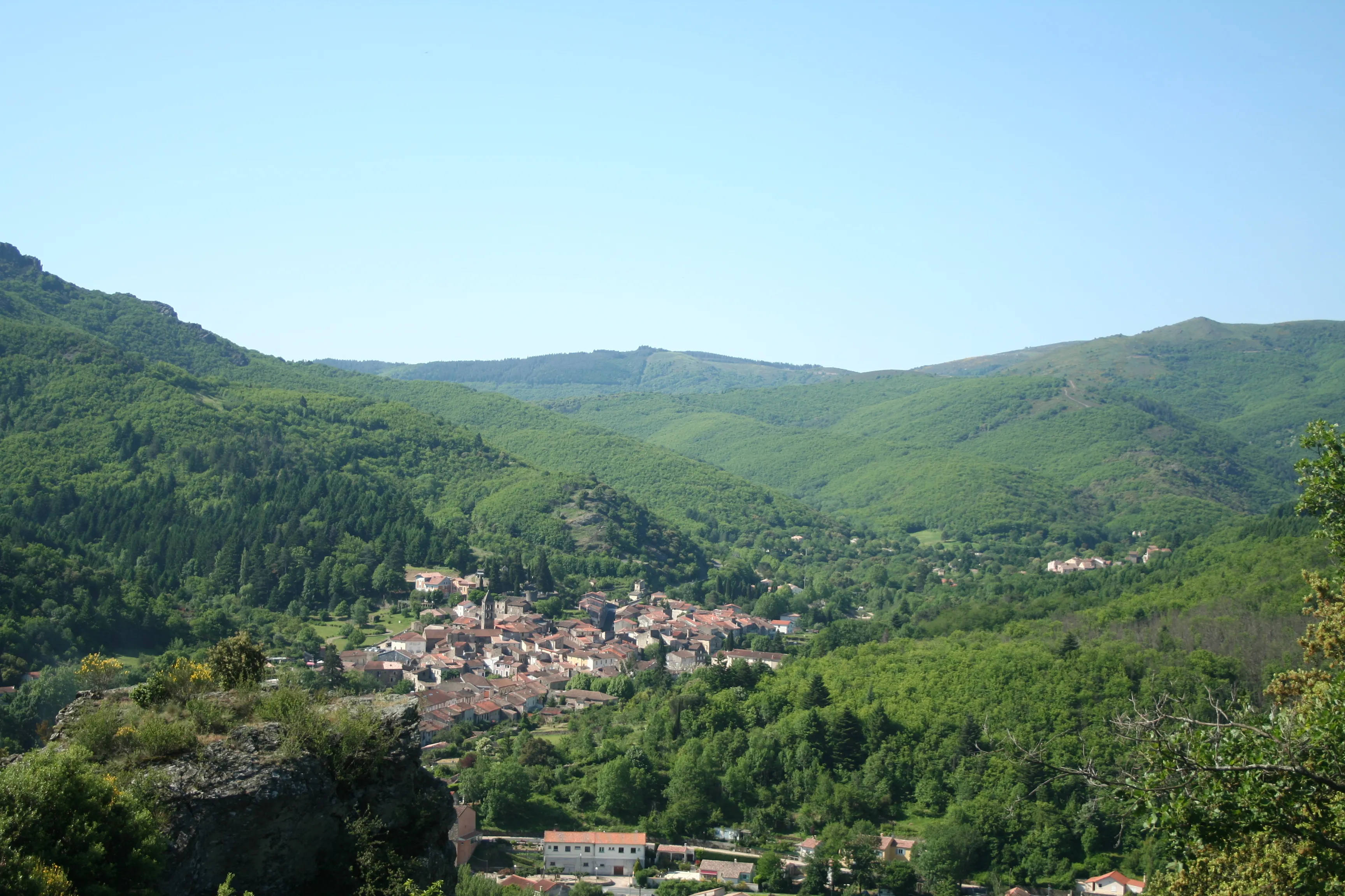
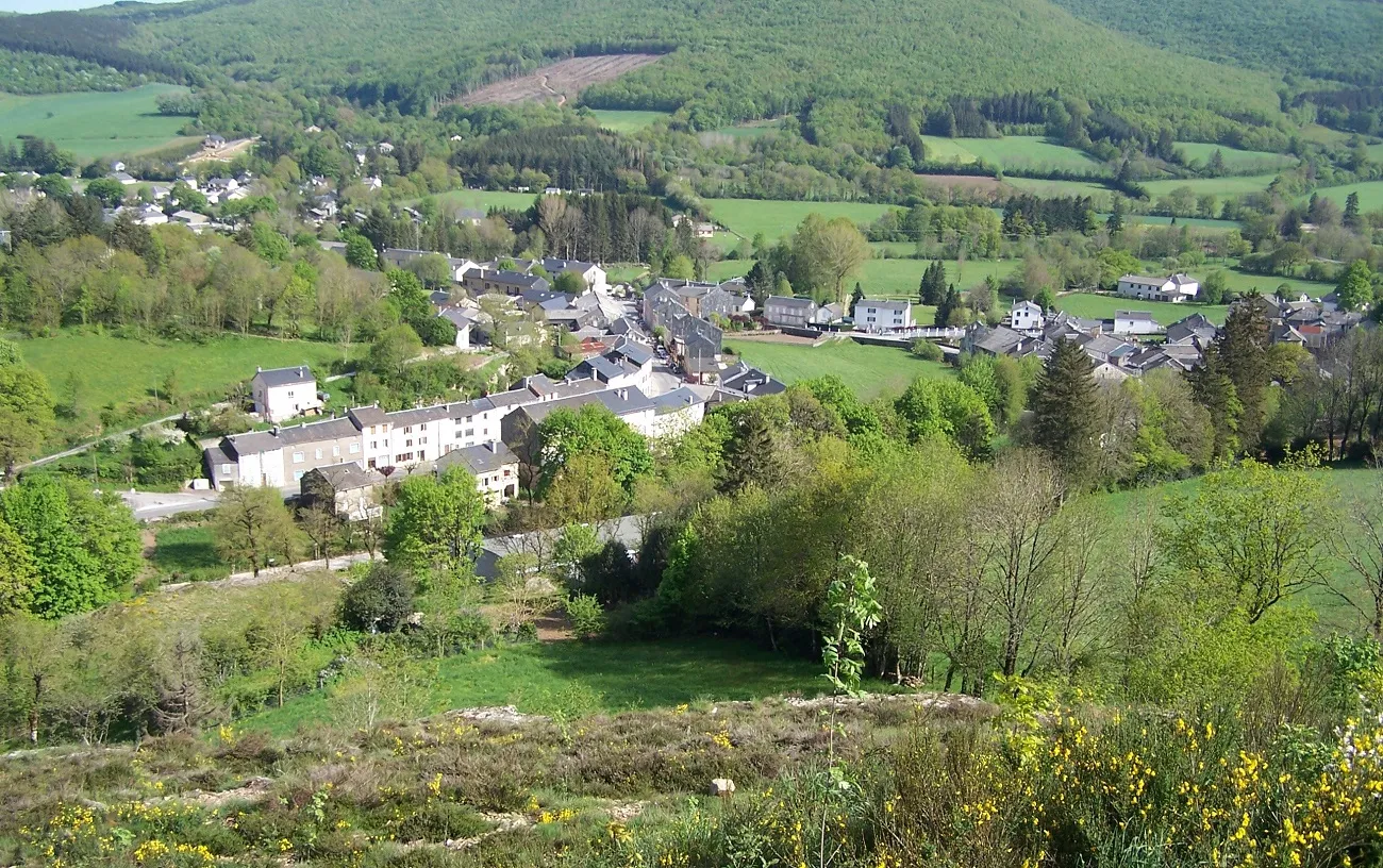
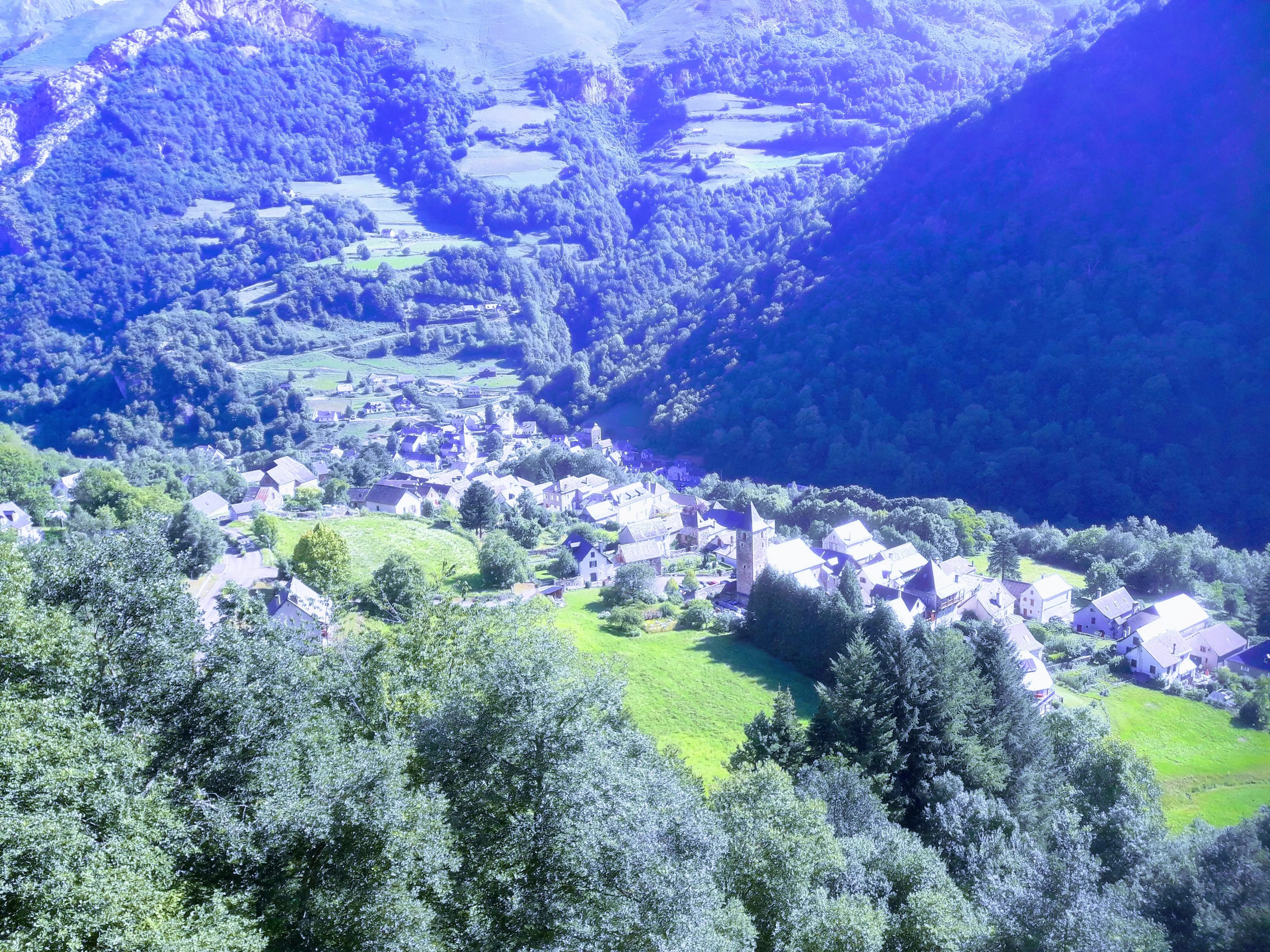
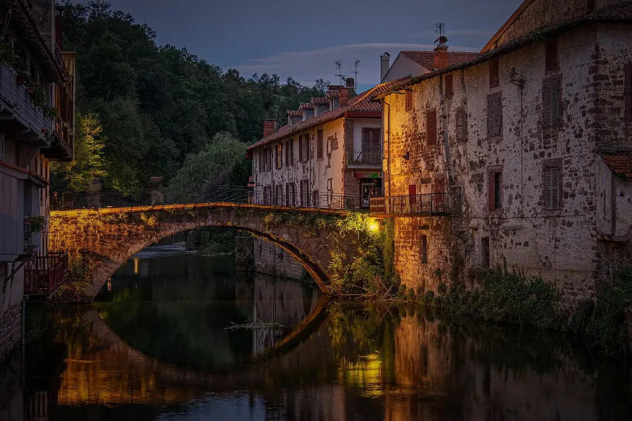
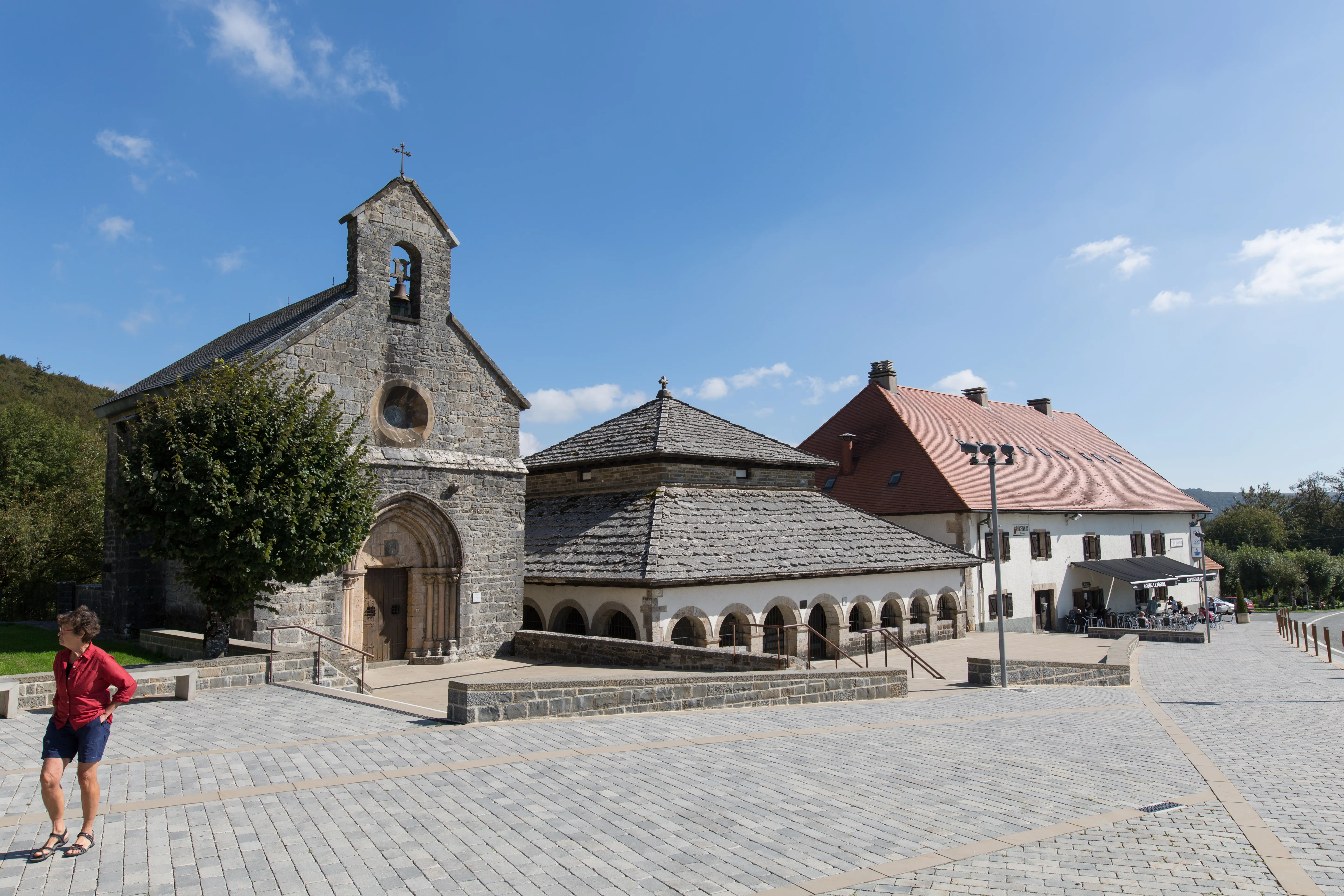
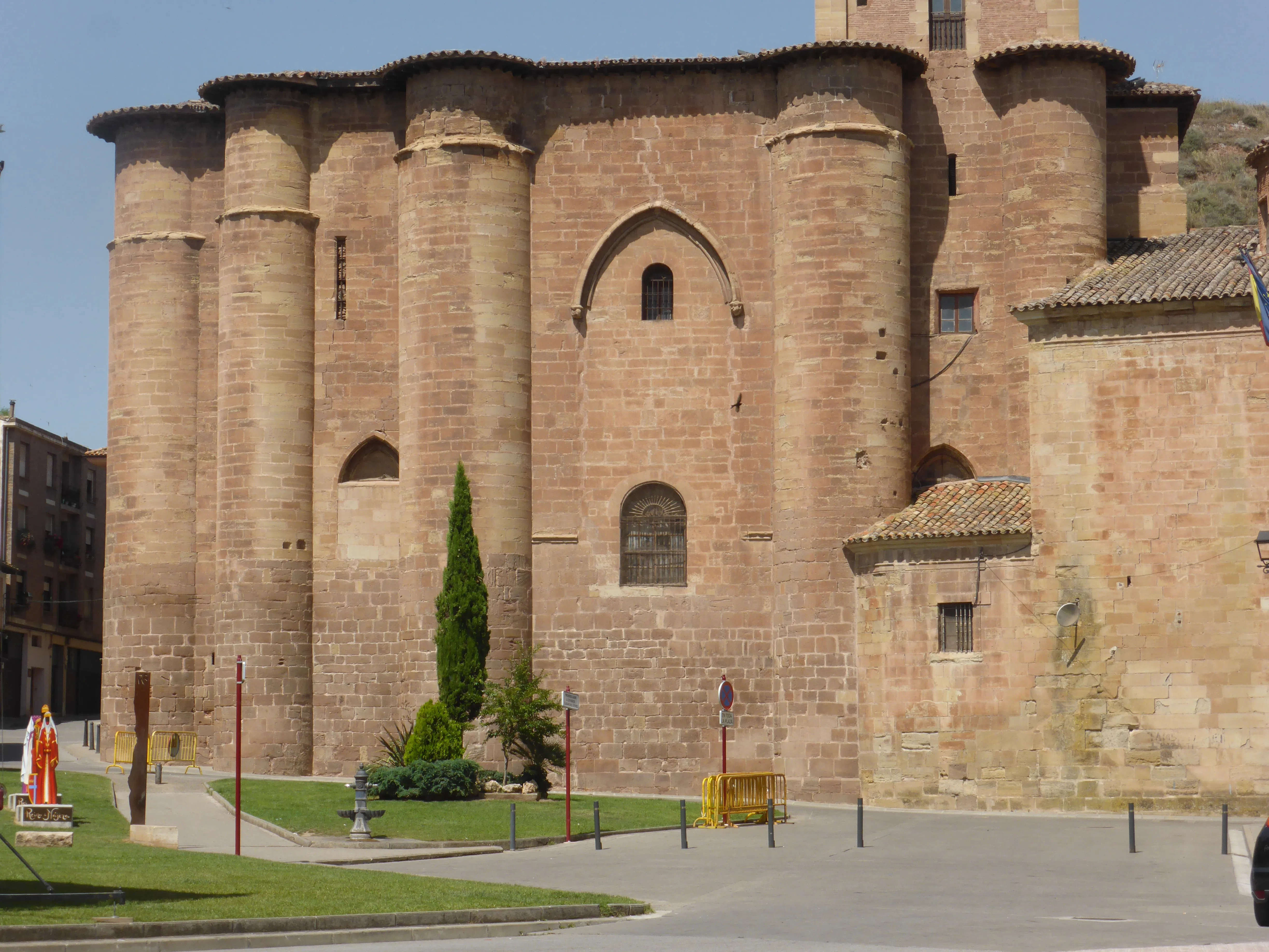
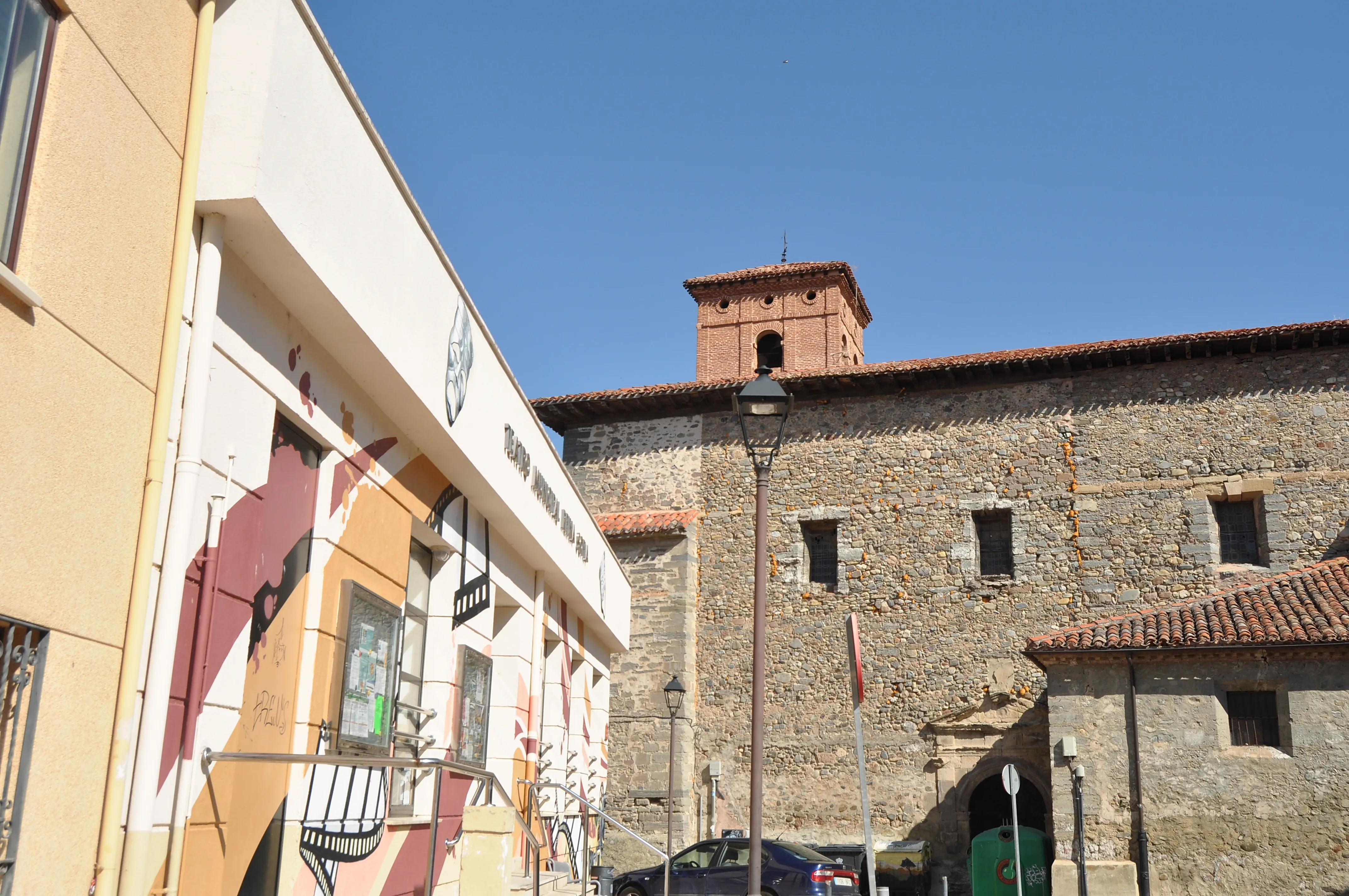
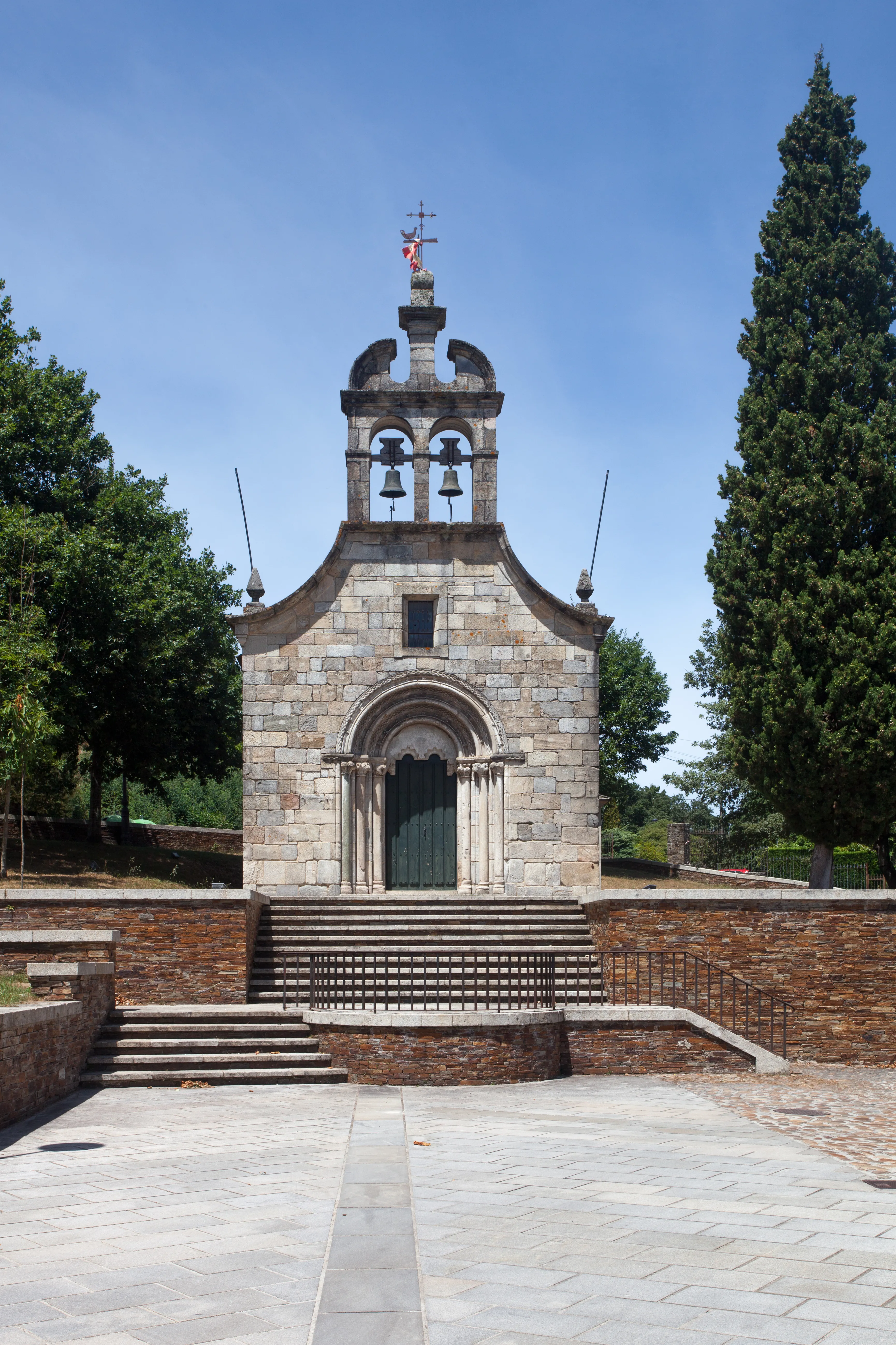
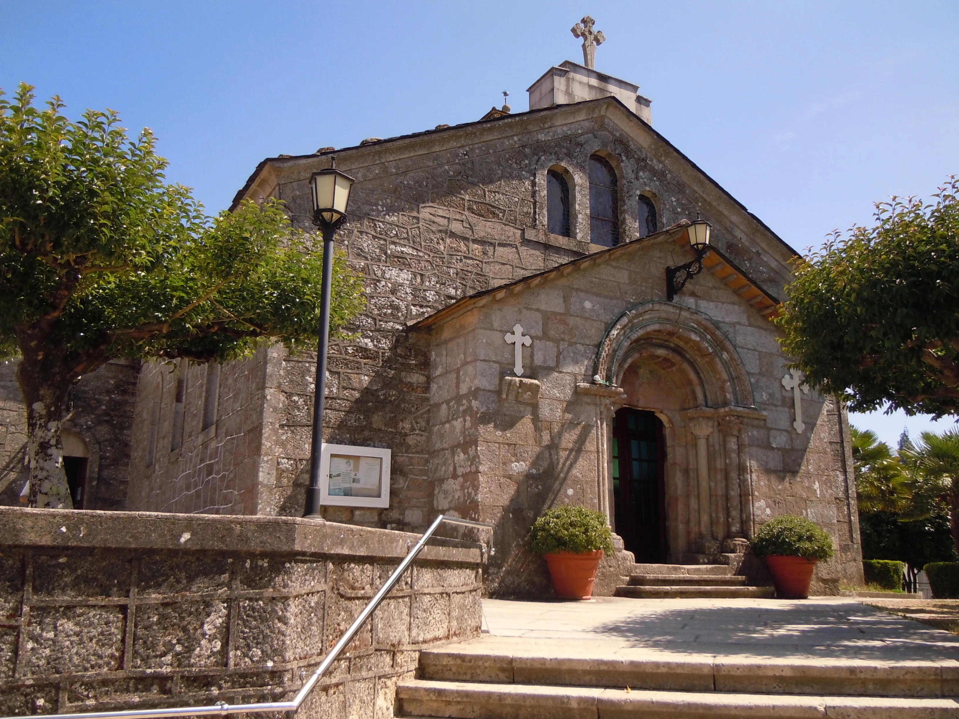
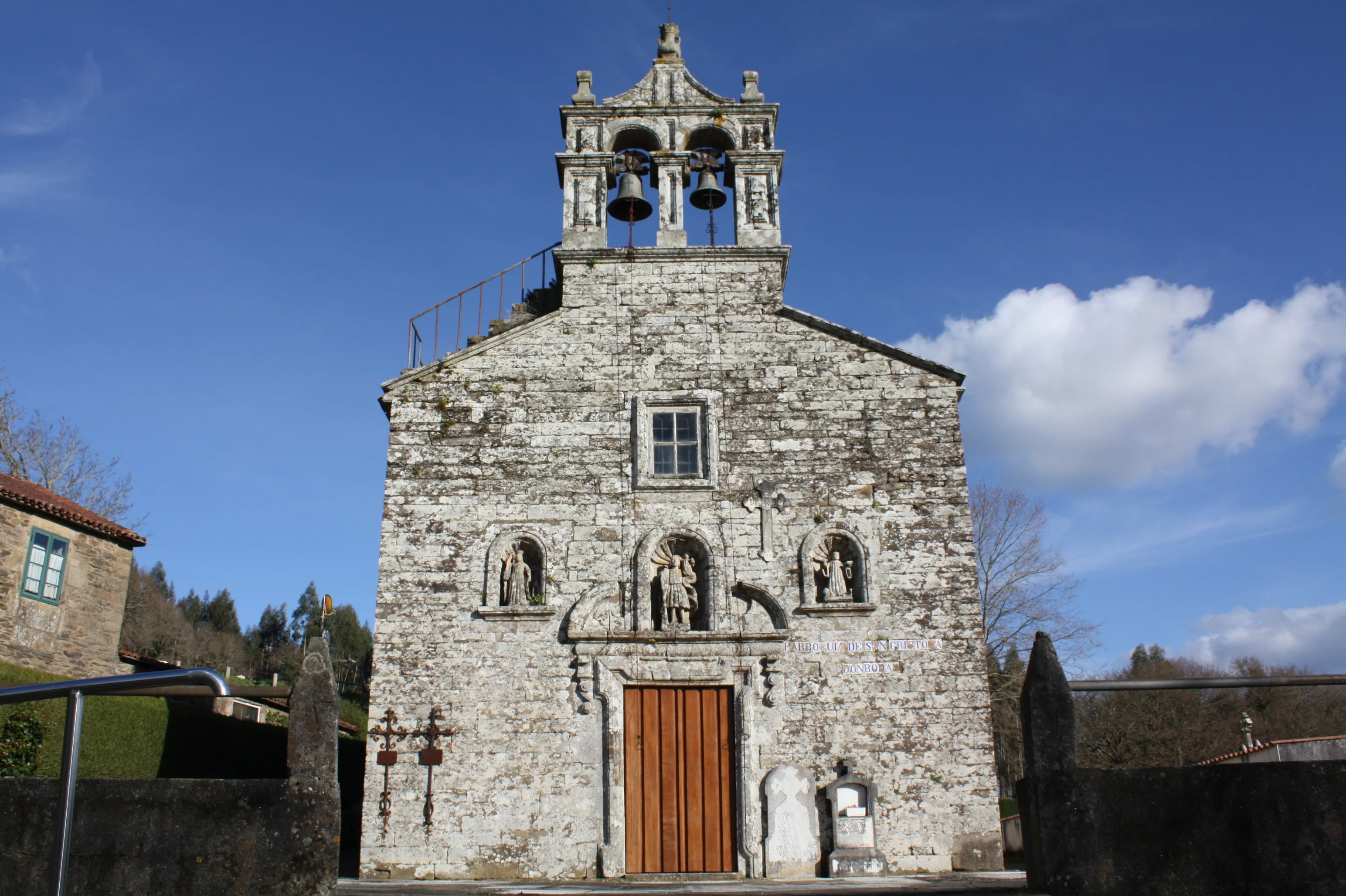
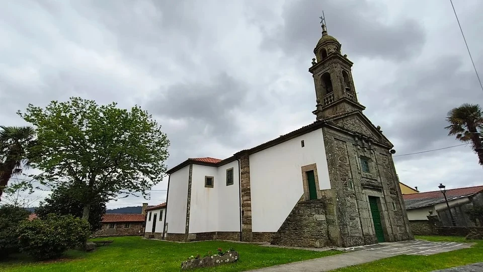
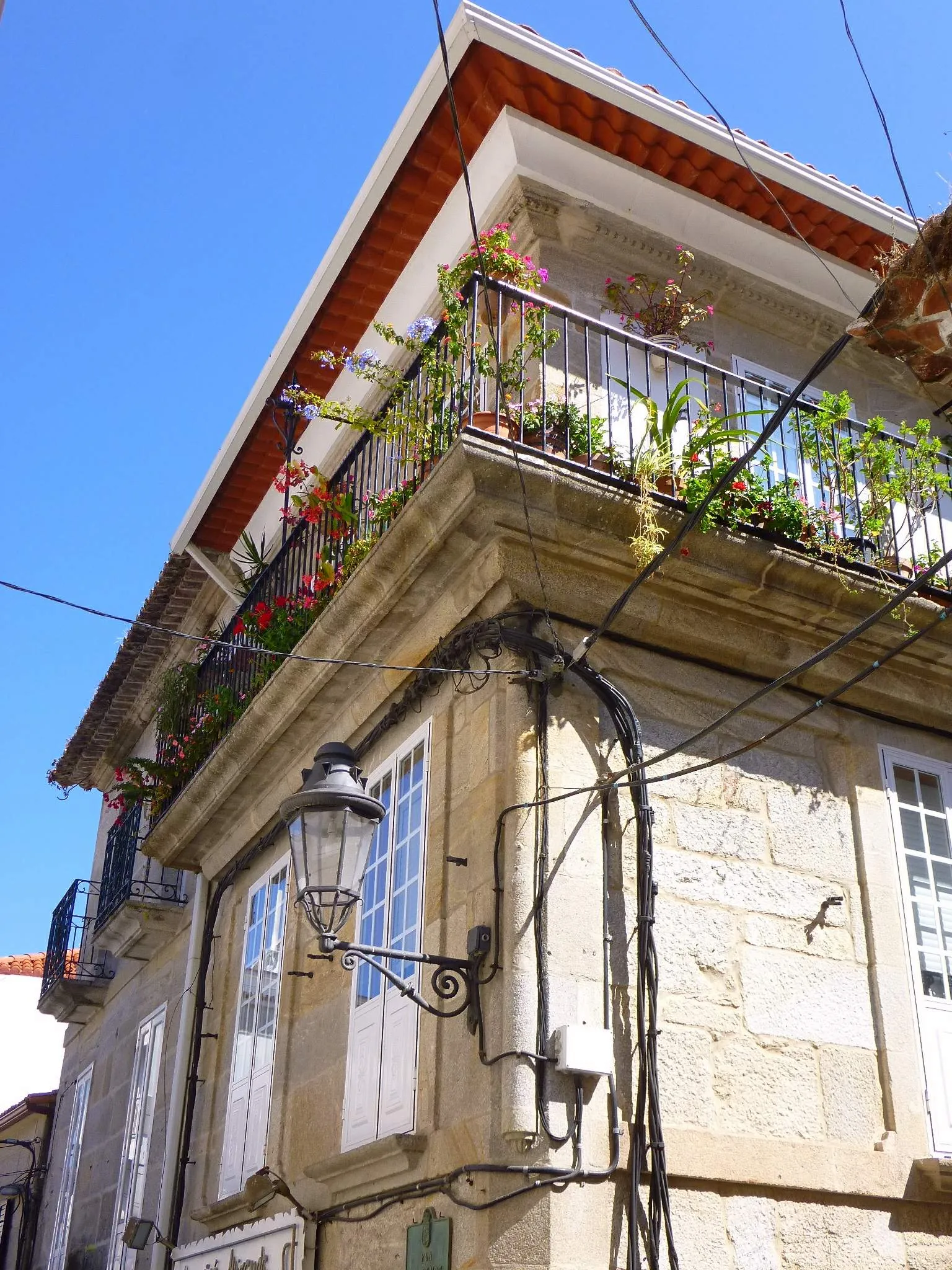
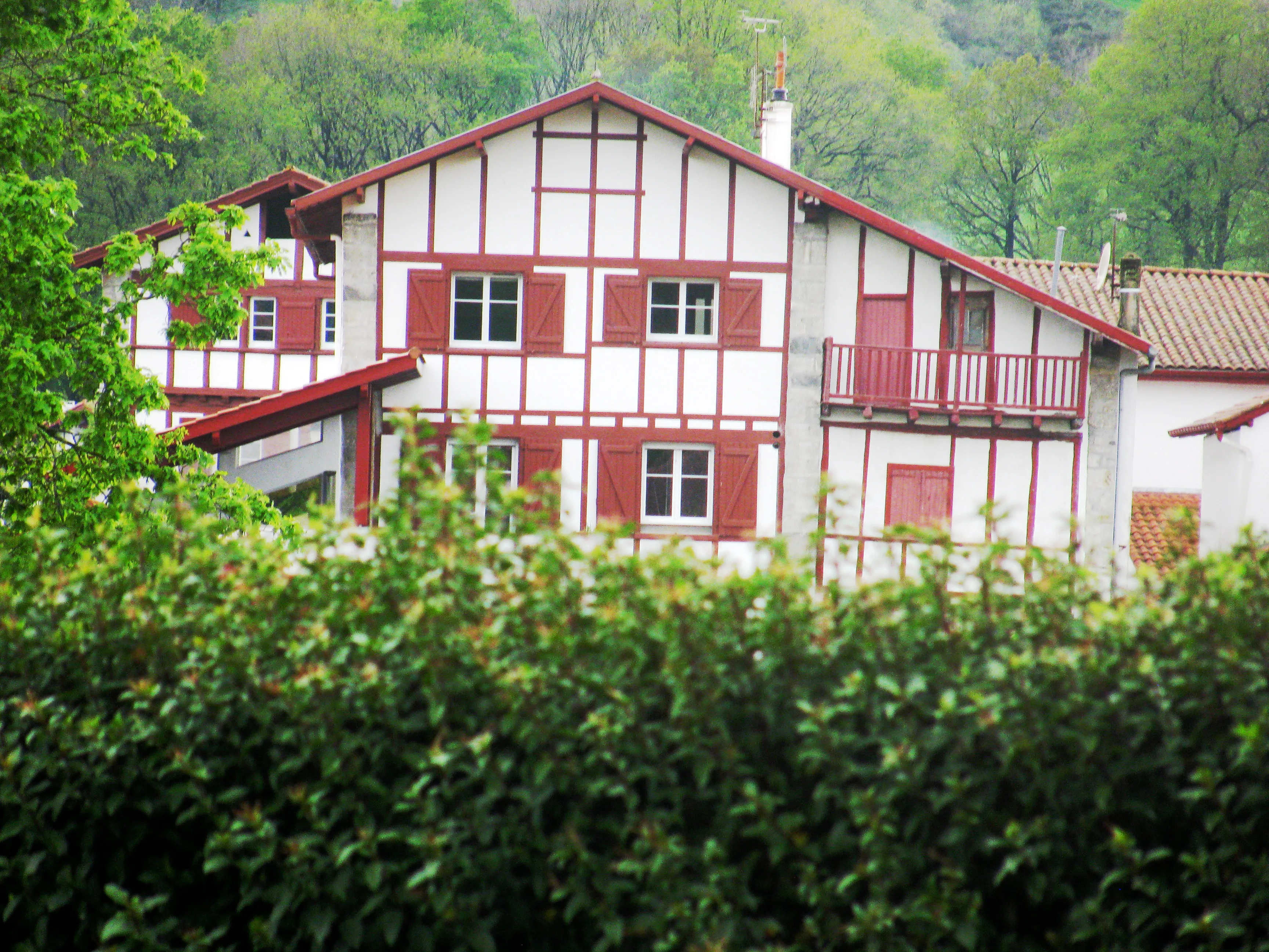
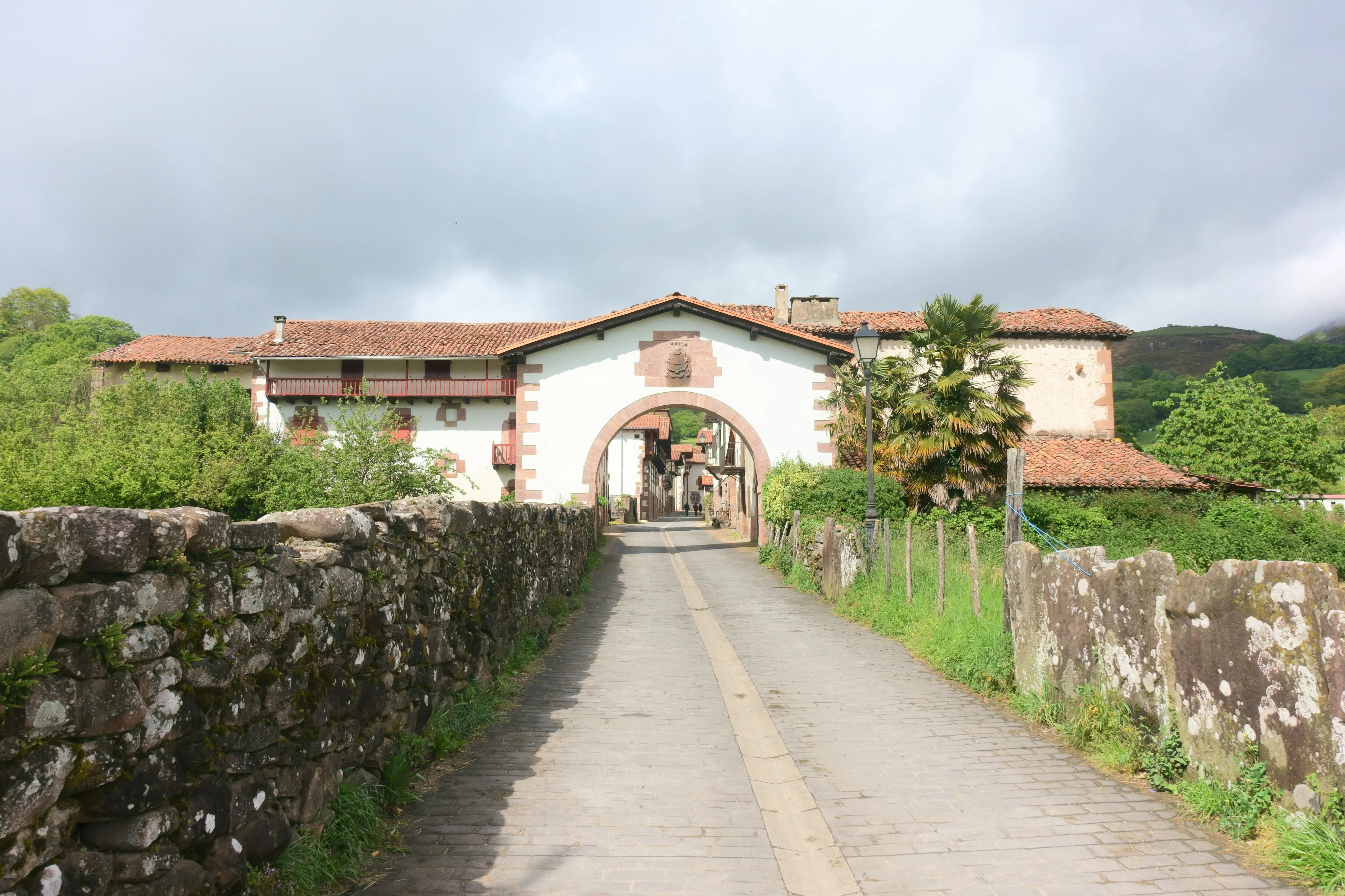
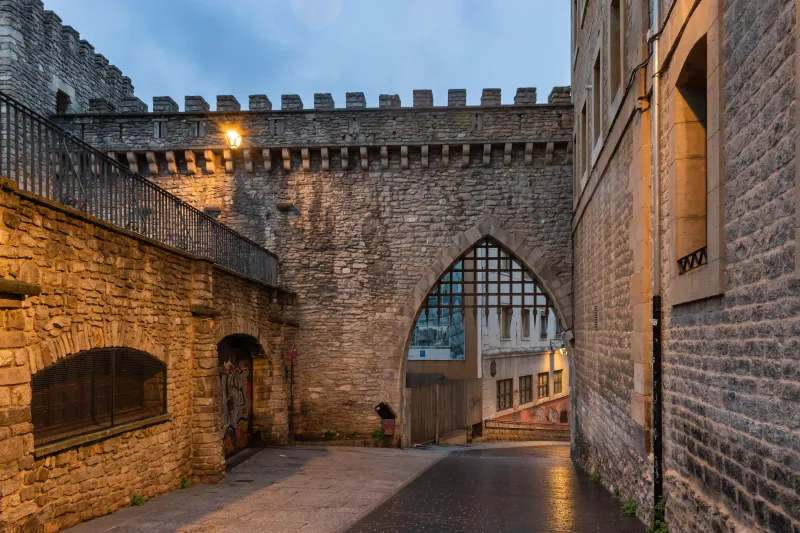
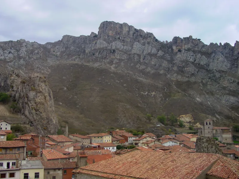
Towns
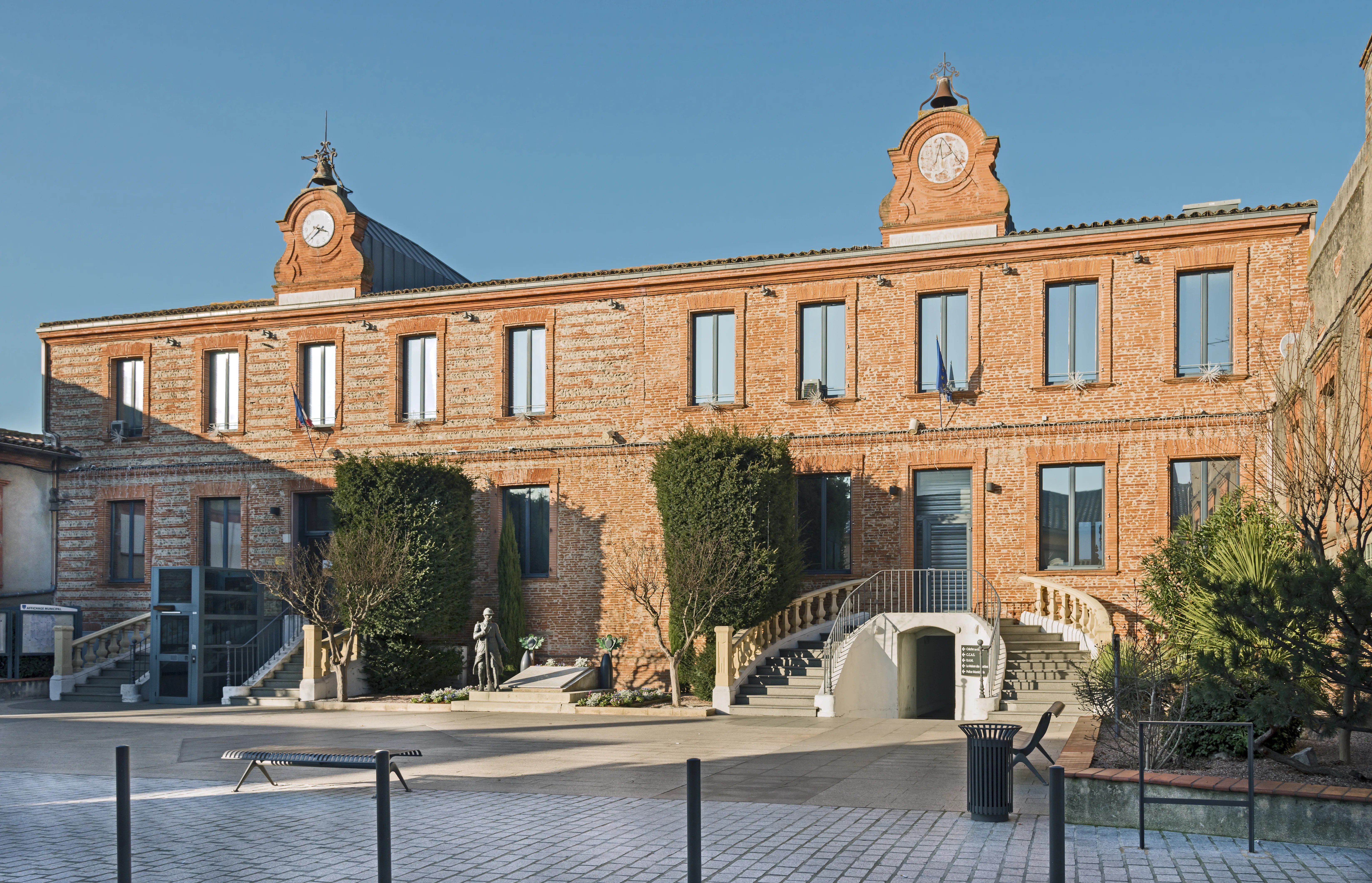
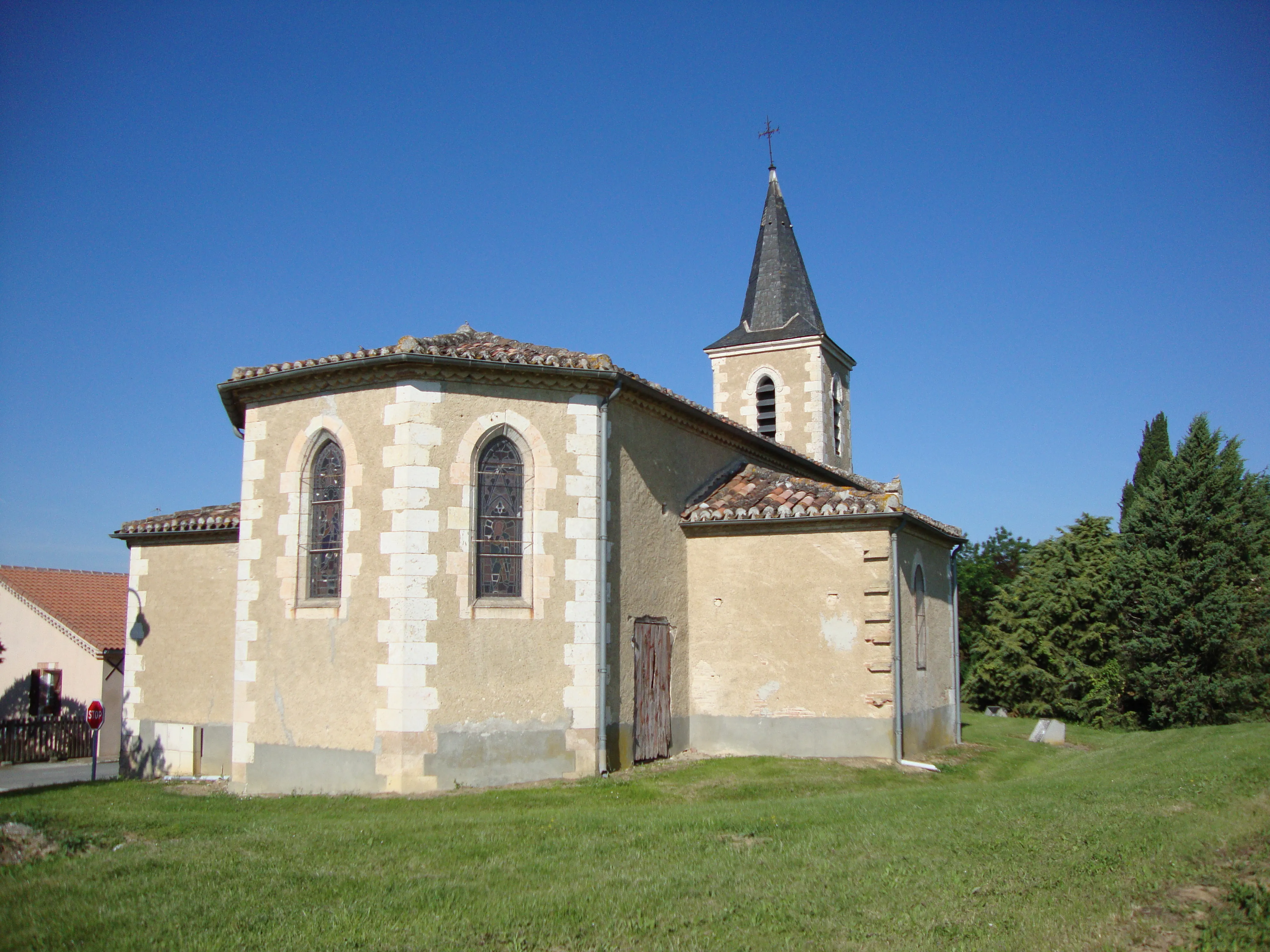
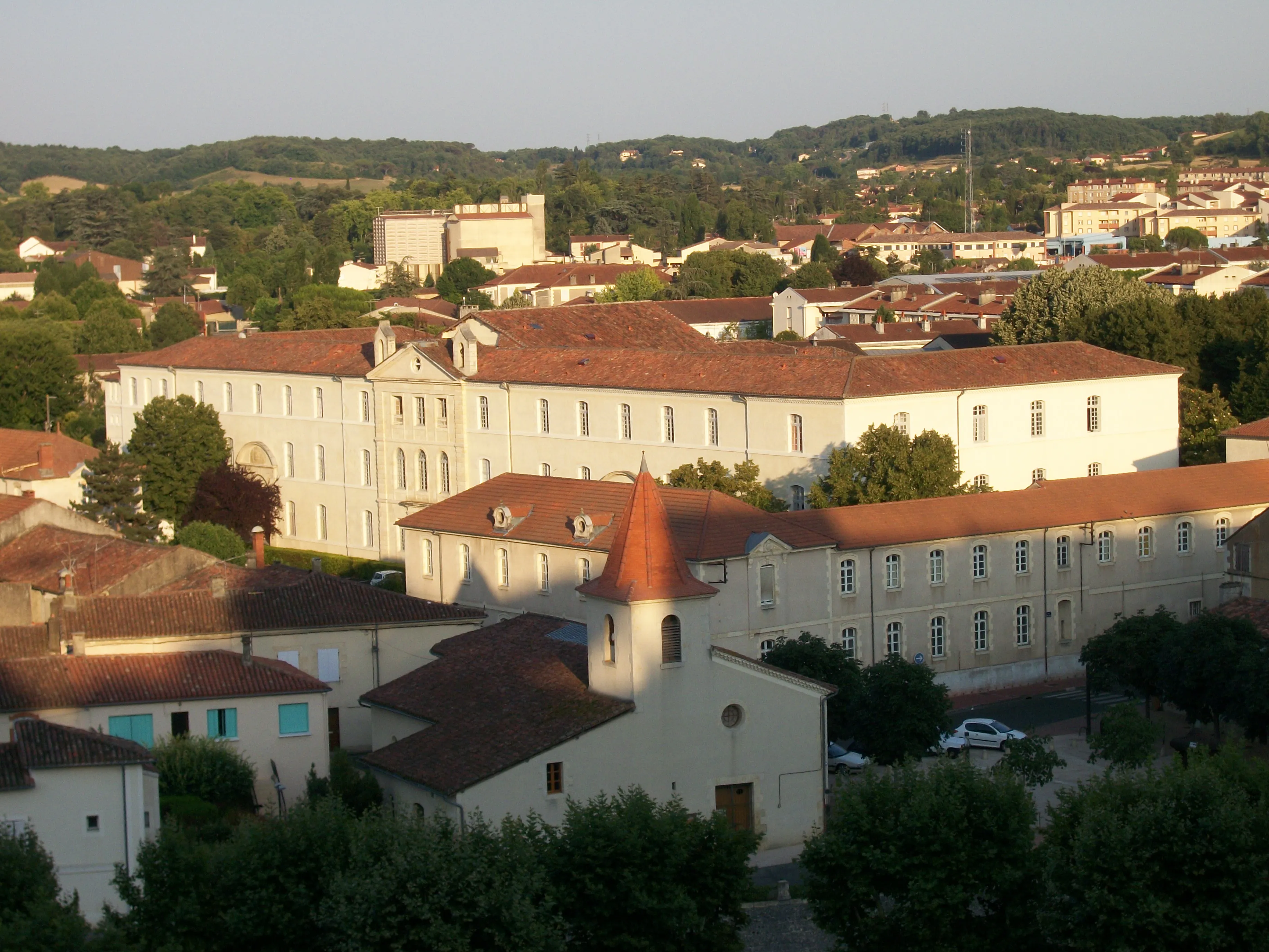
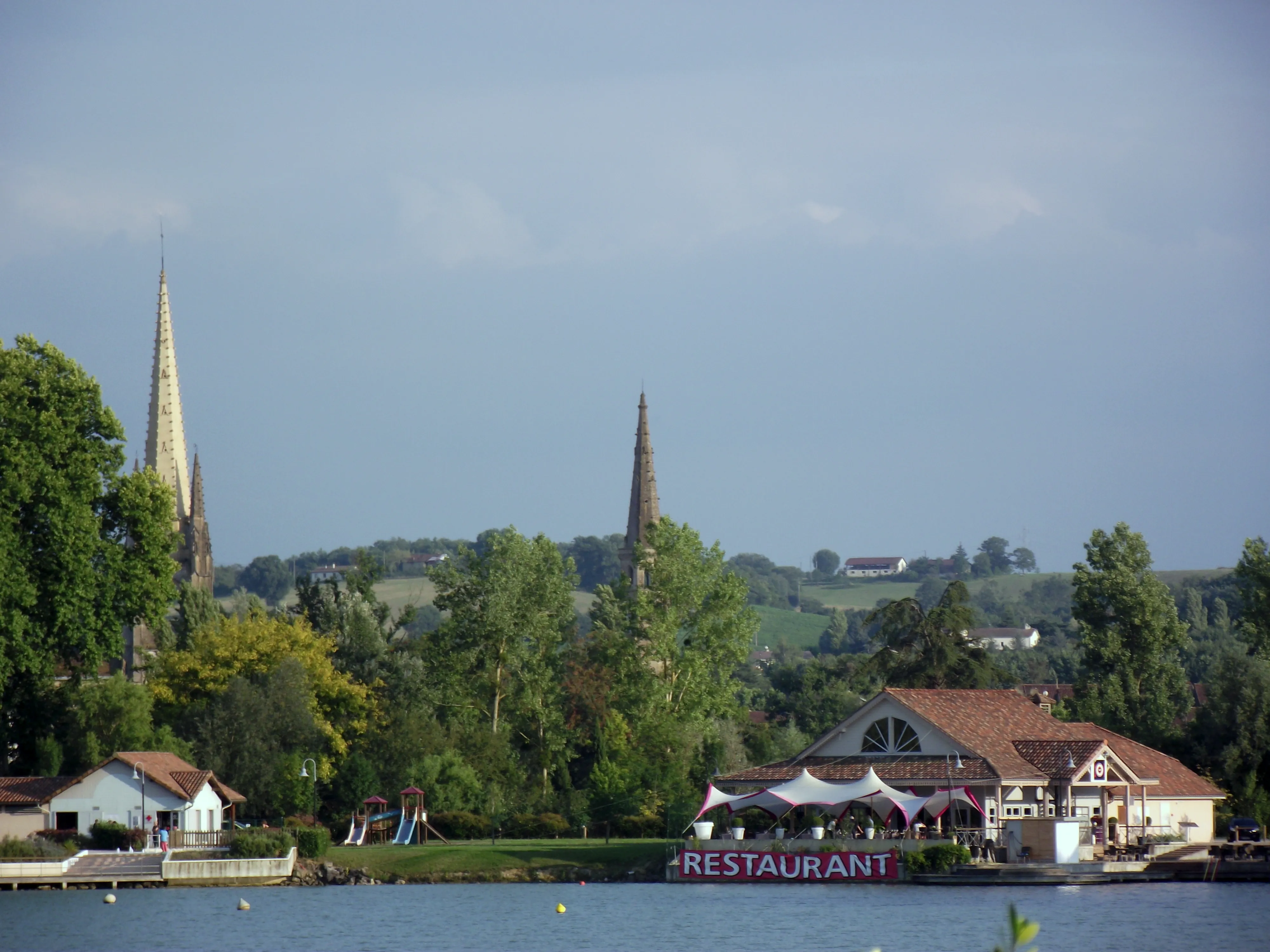
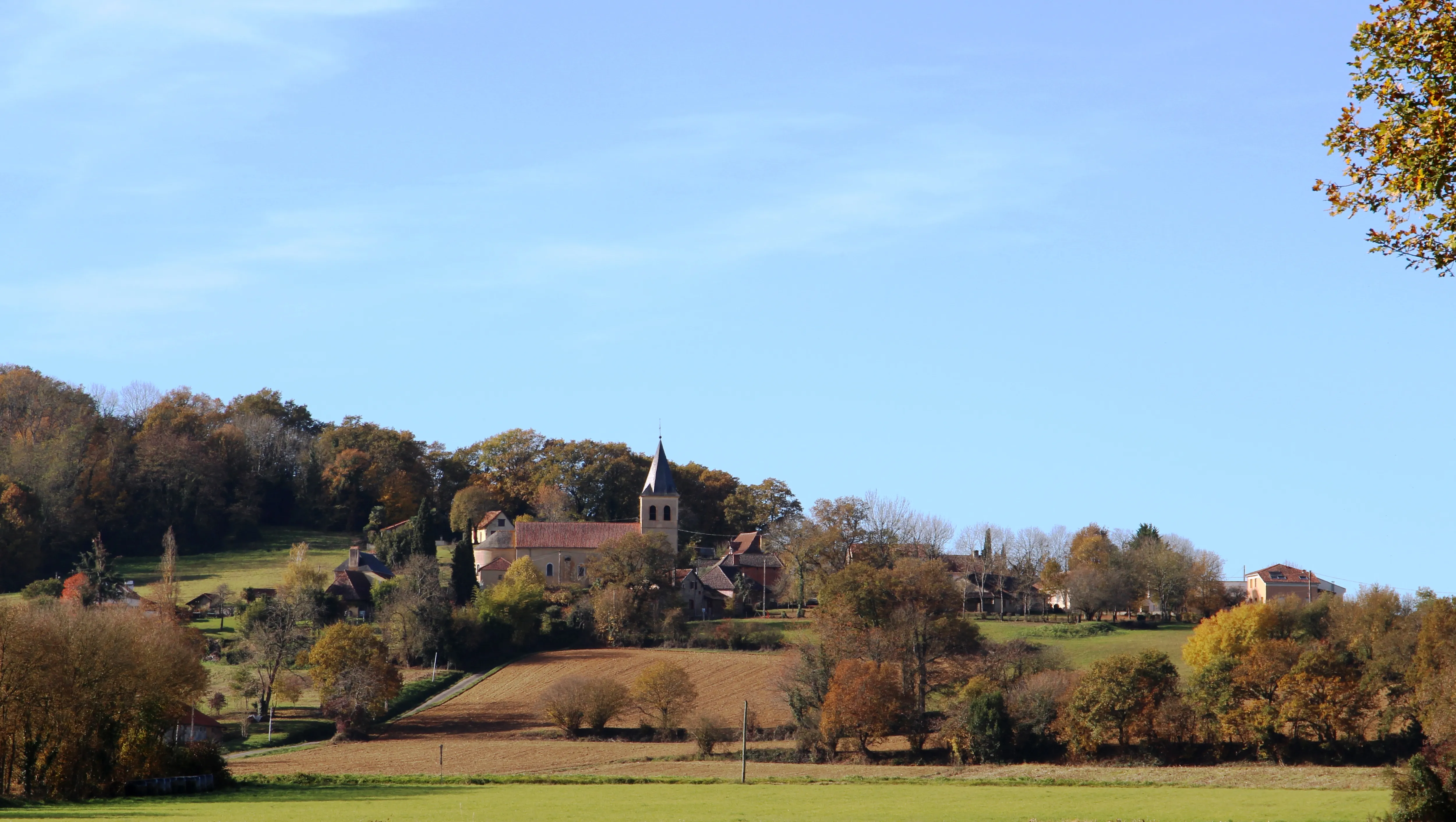
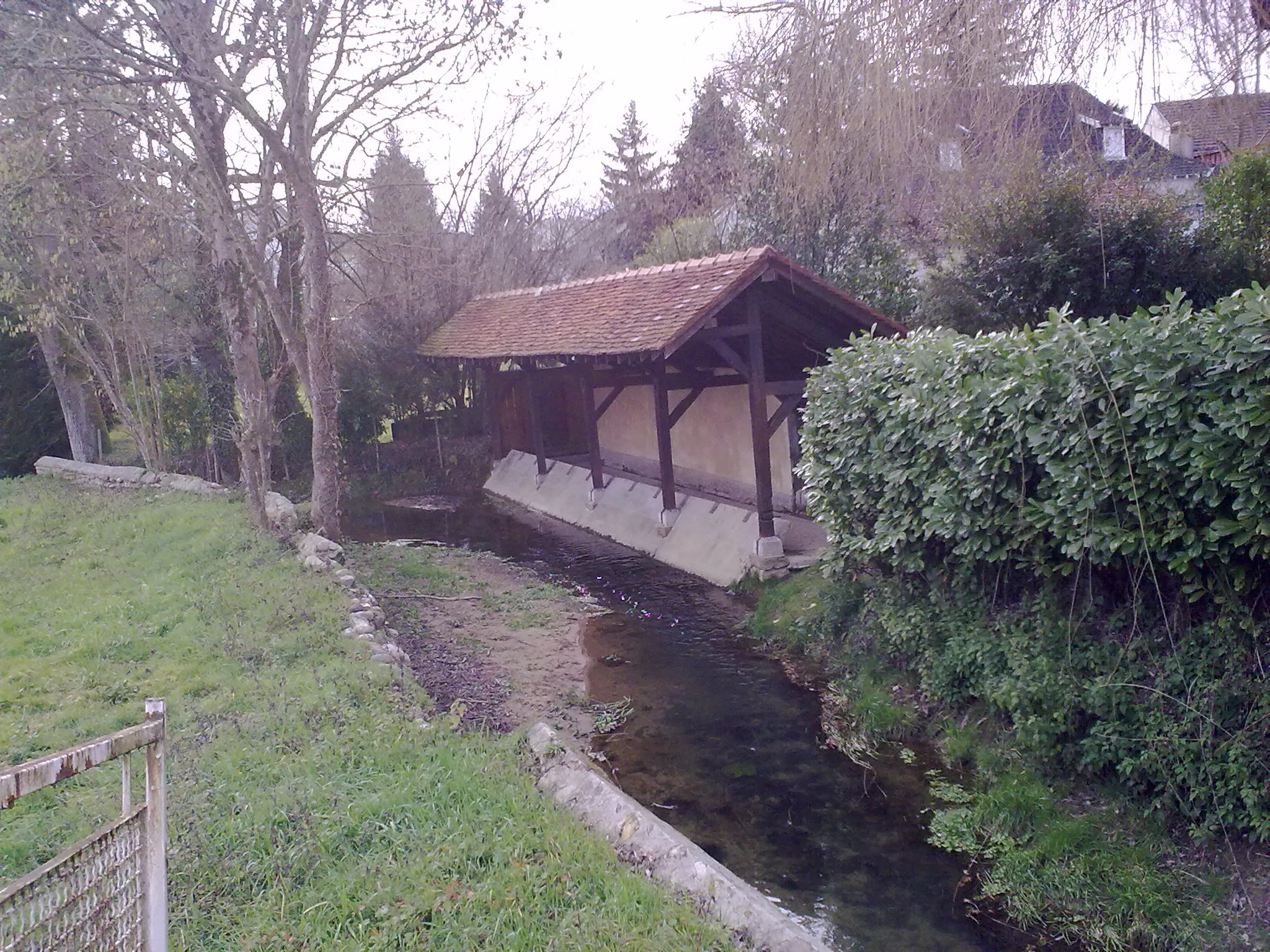
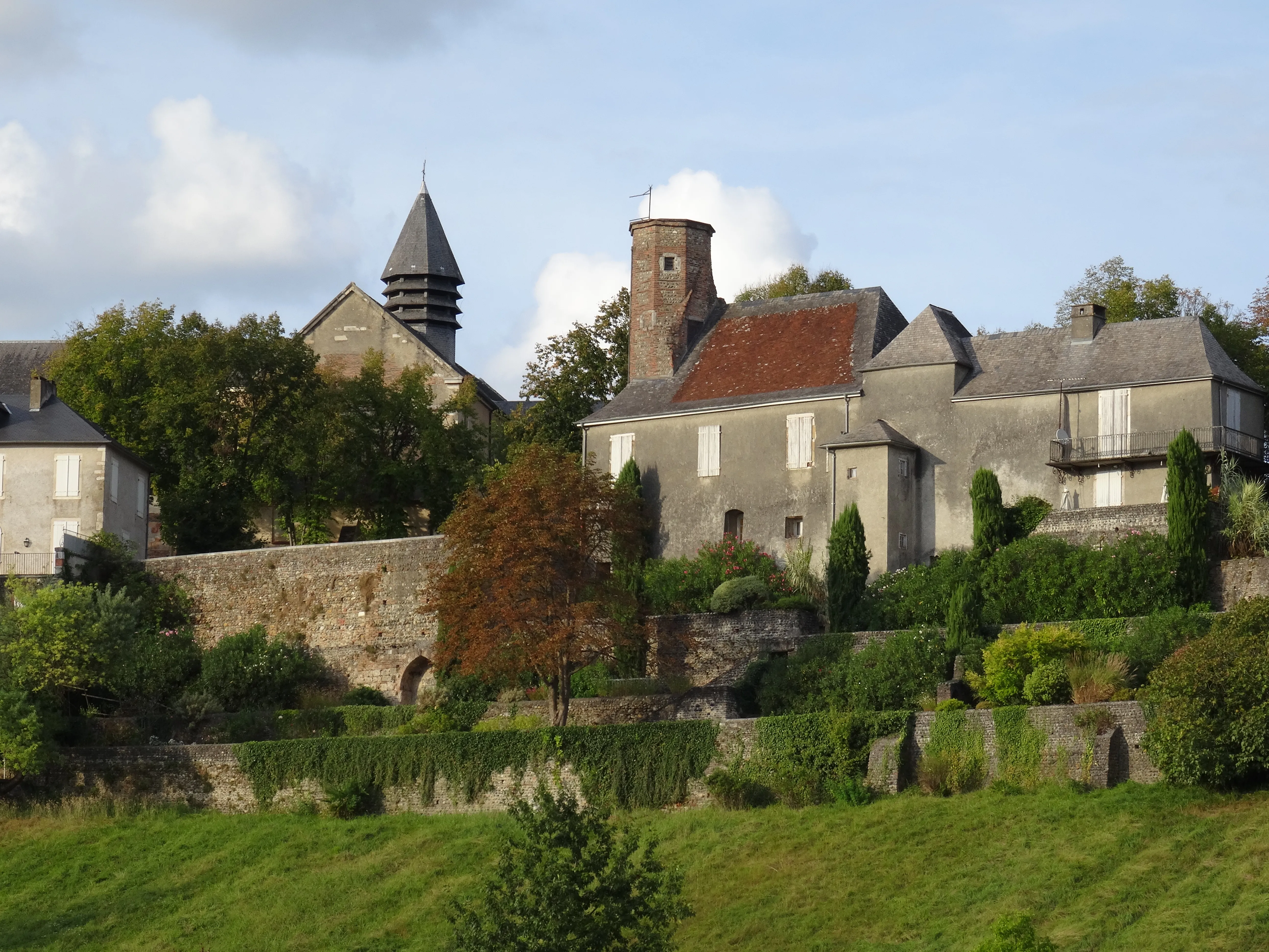
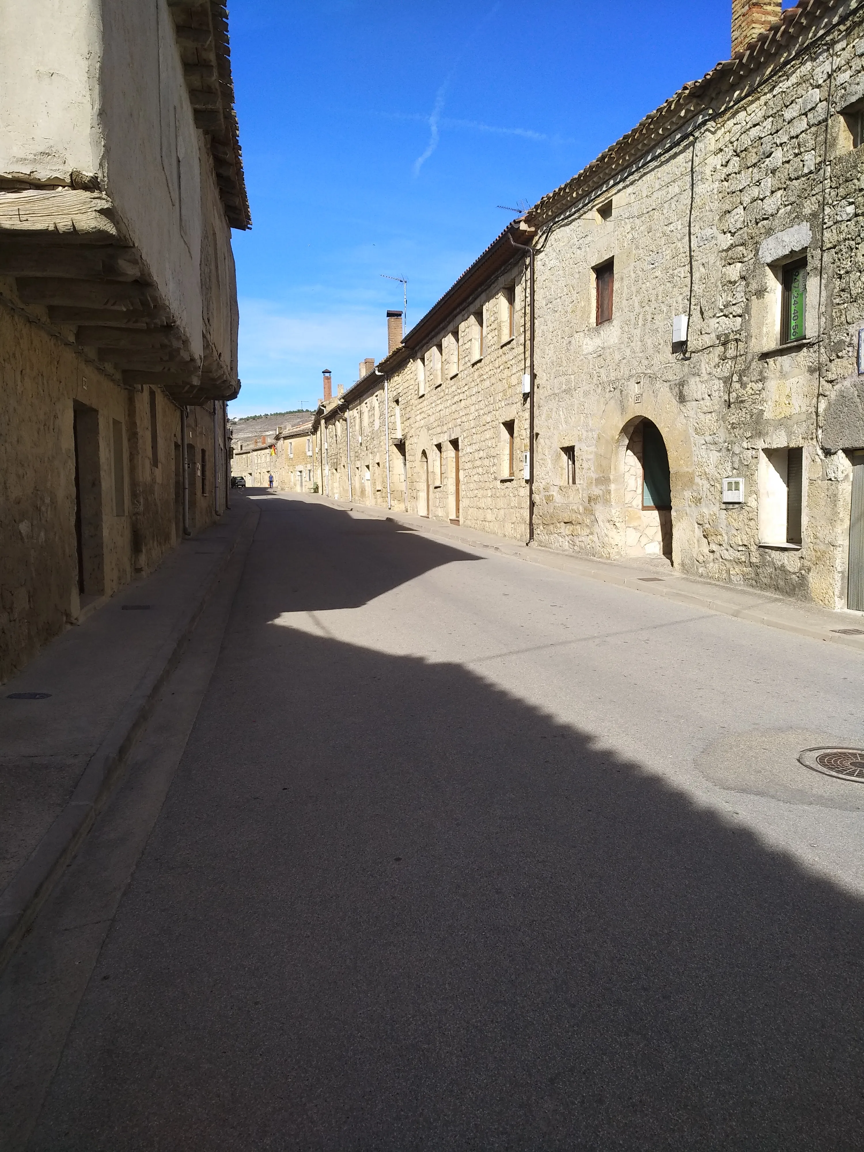
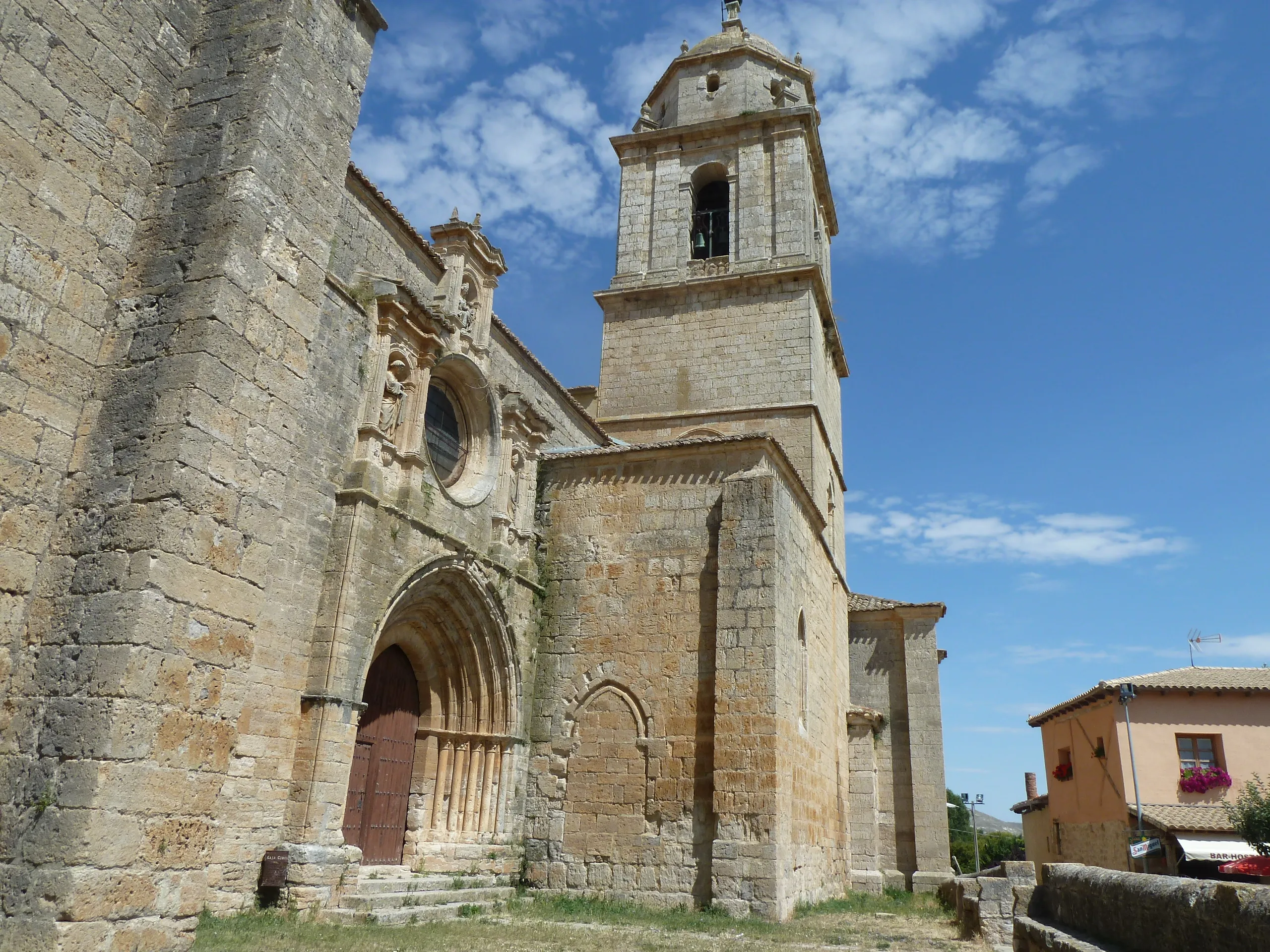
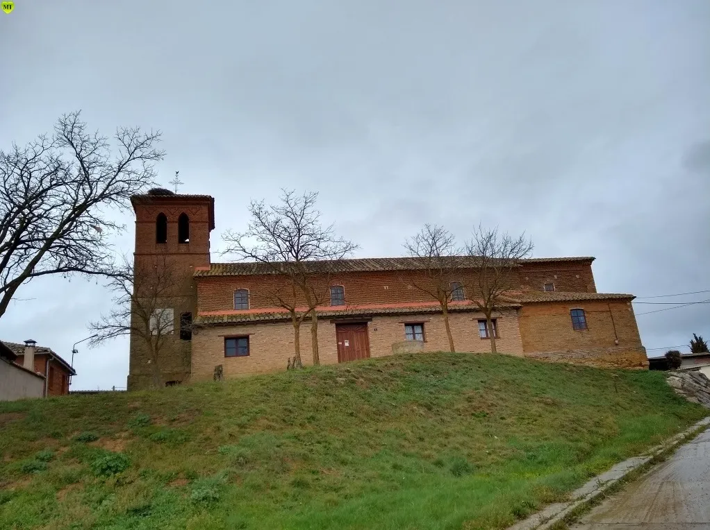
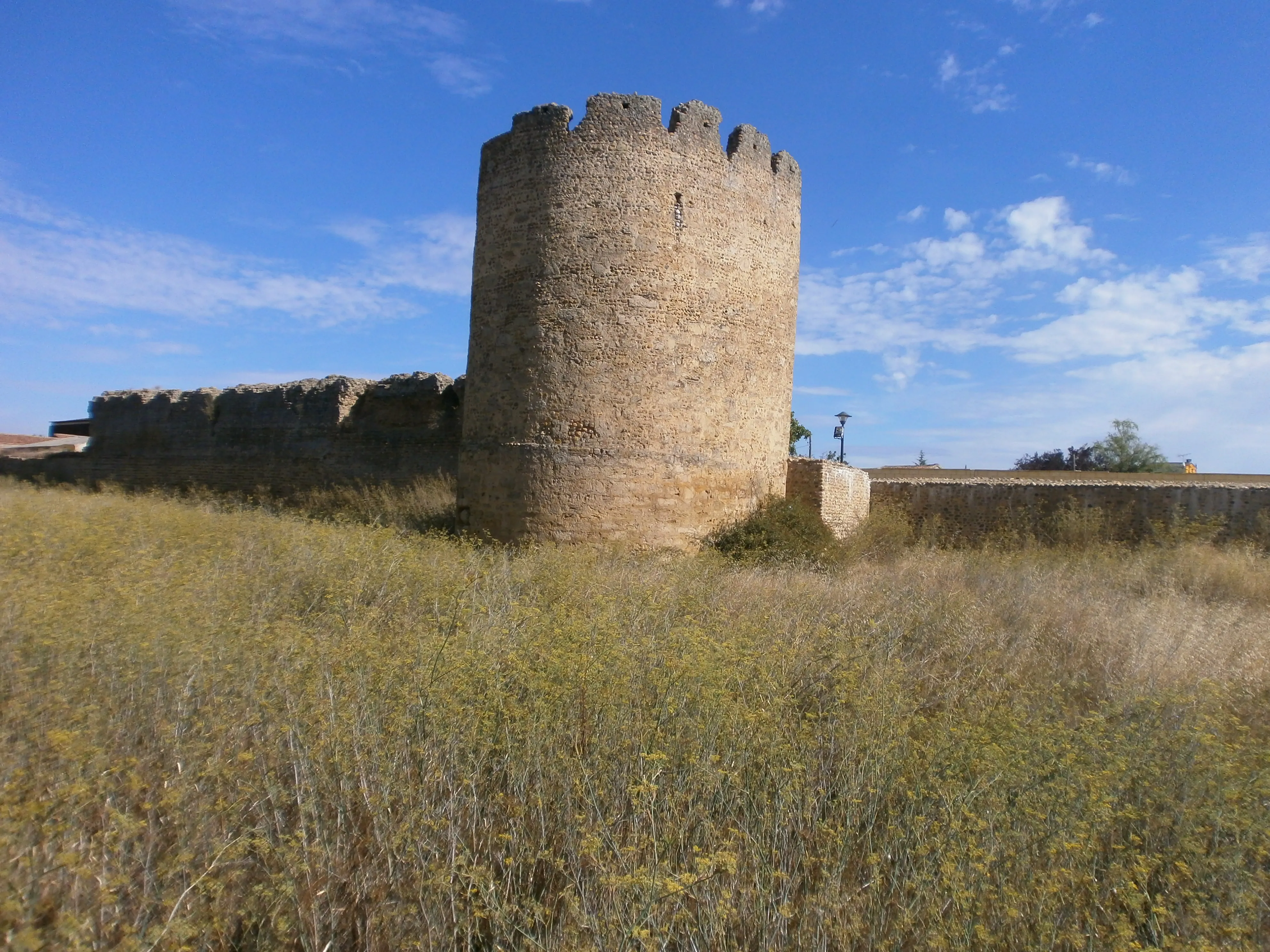
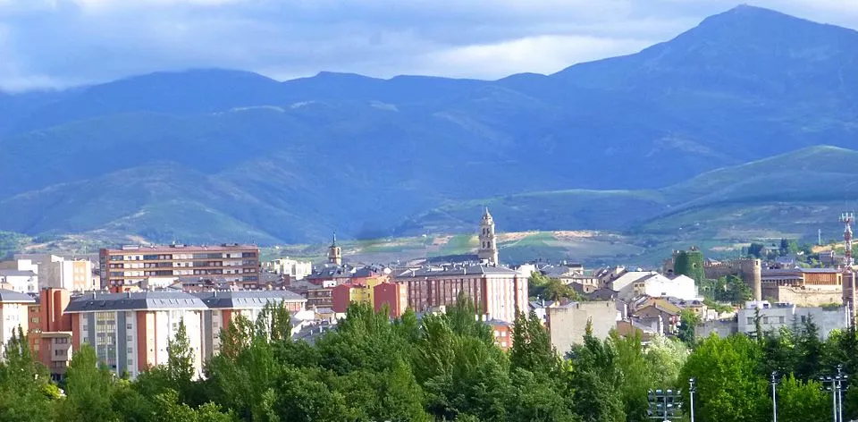
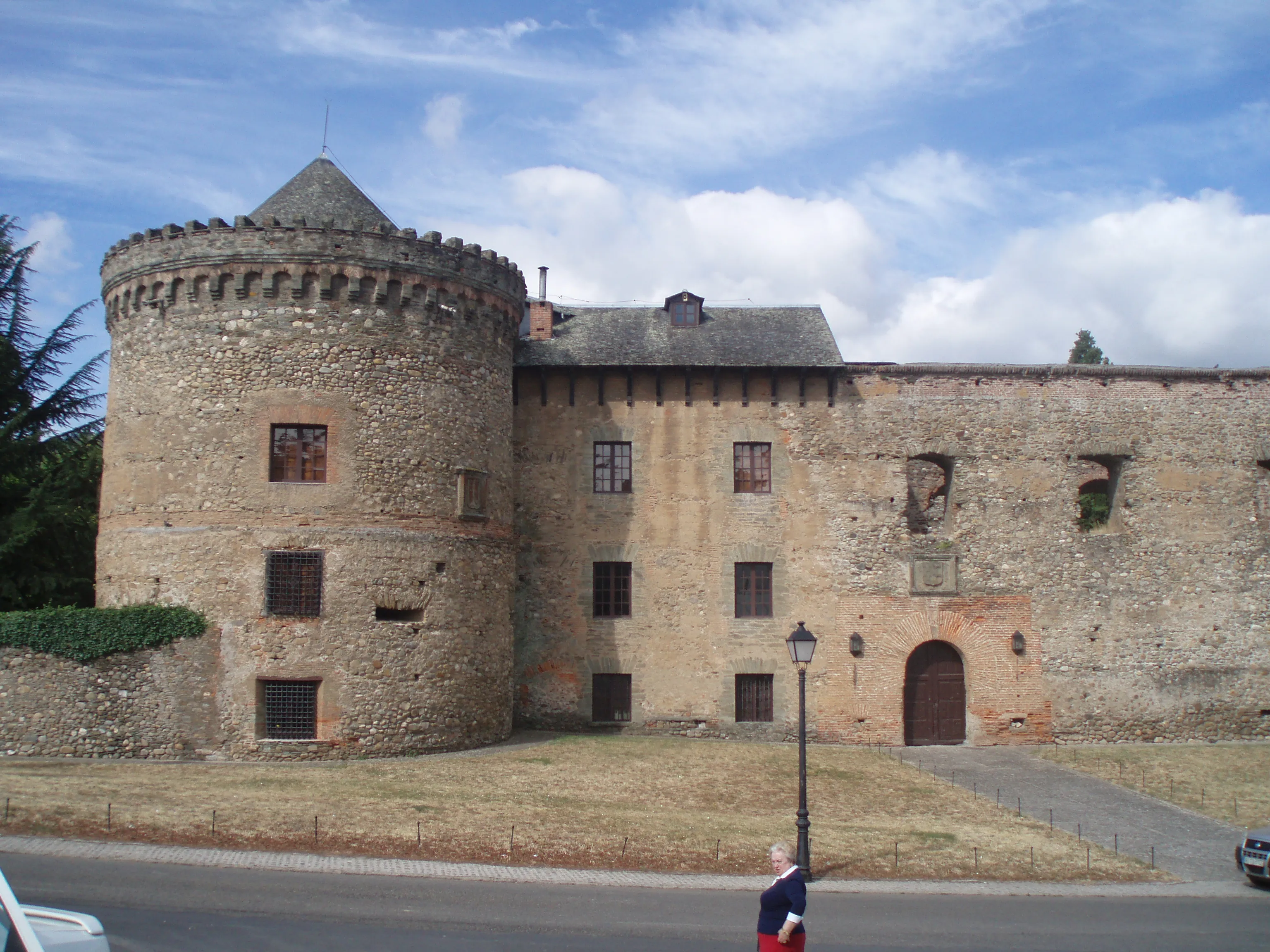
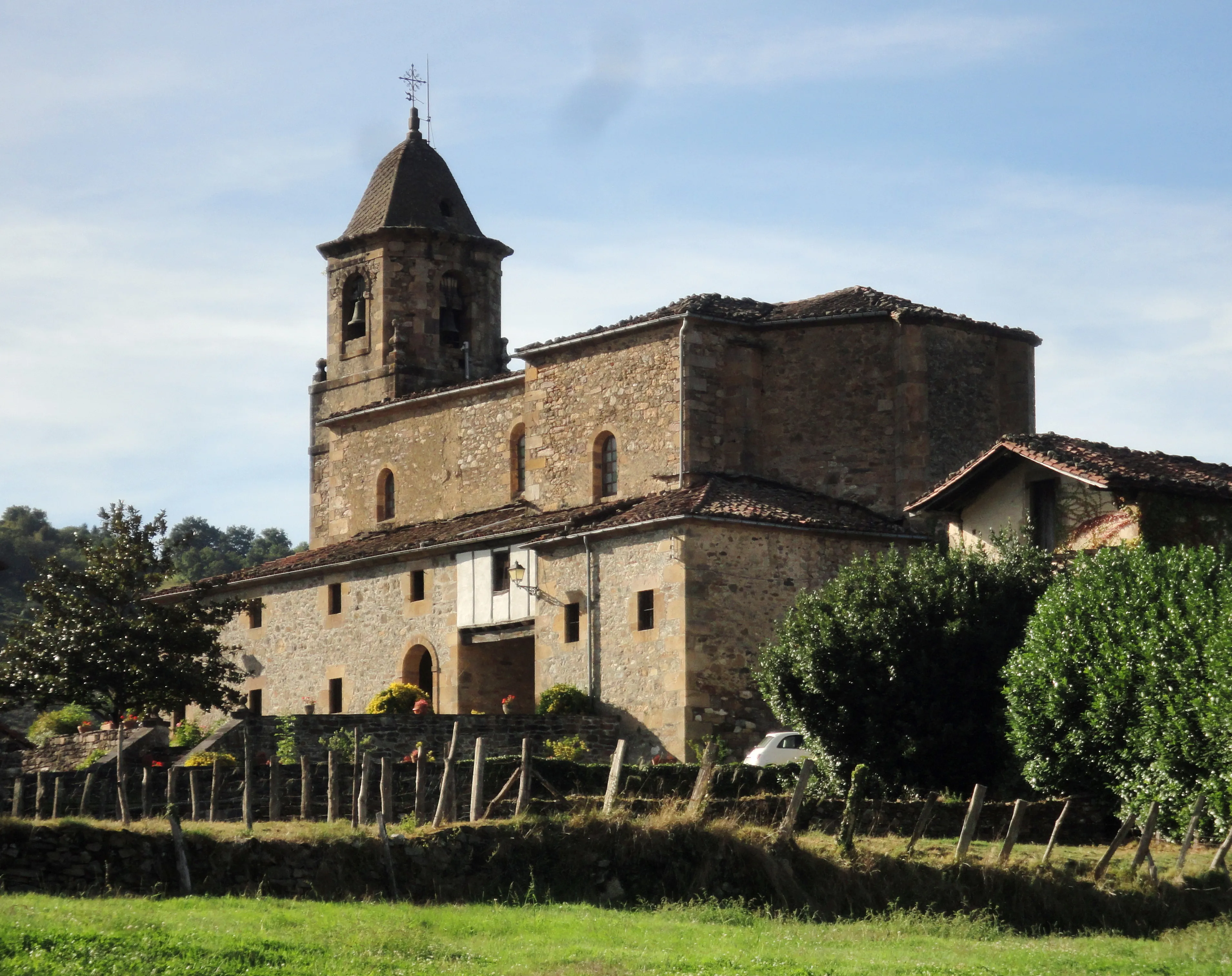
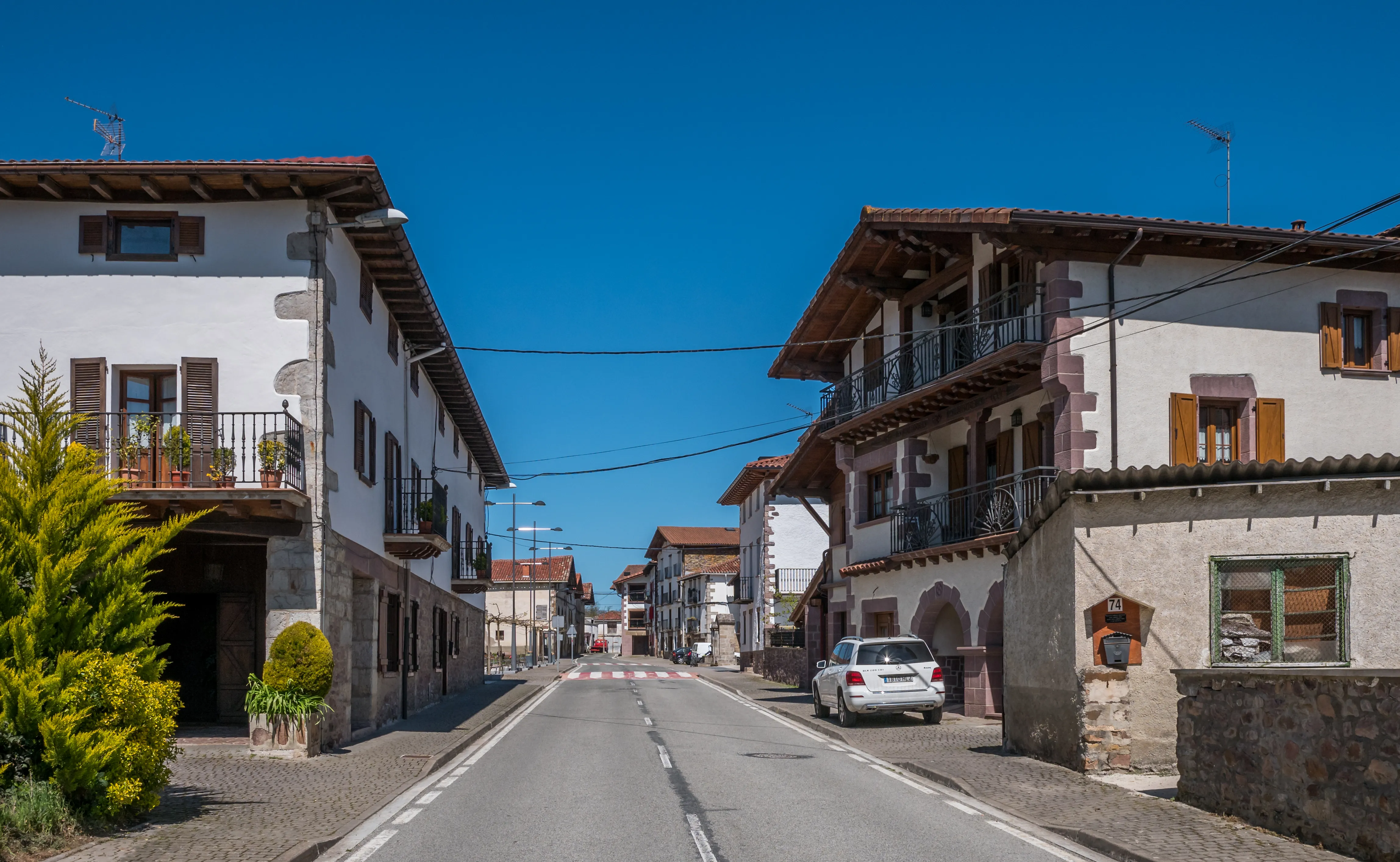
Featured Towns of Bayonne Way
Explore the key towns and cities of this route.


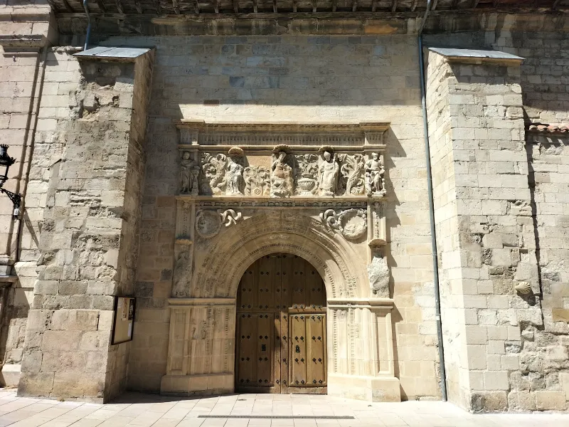
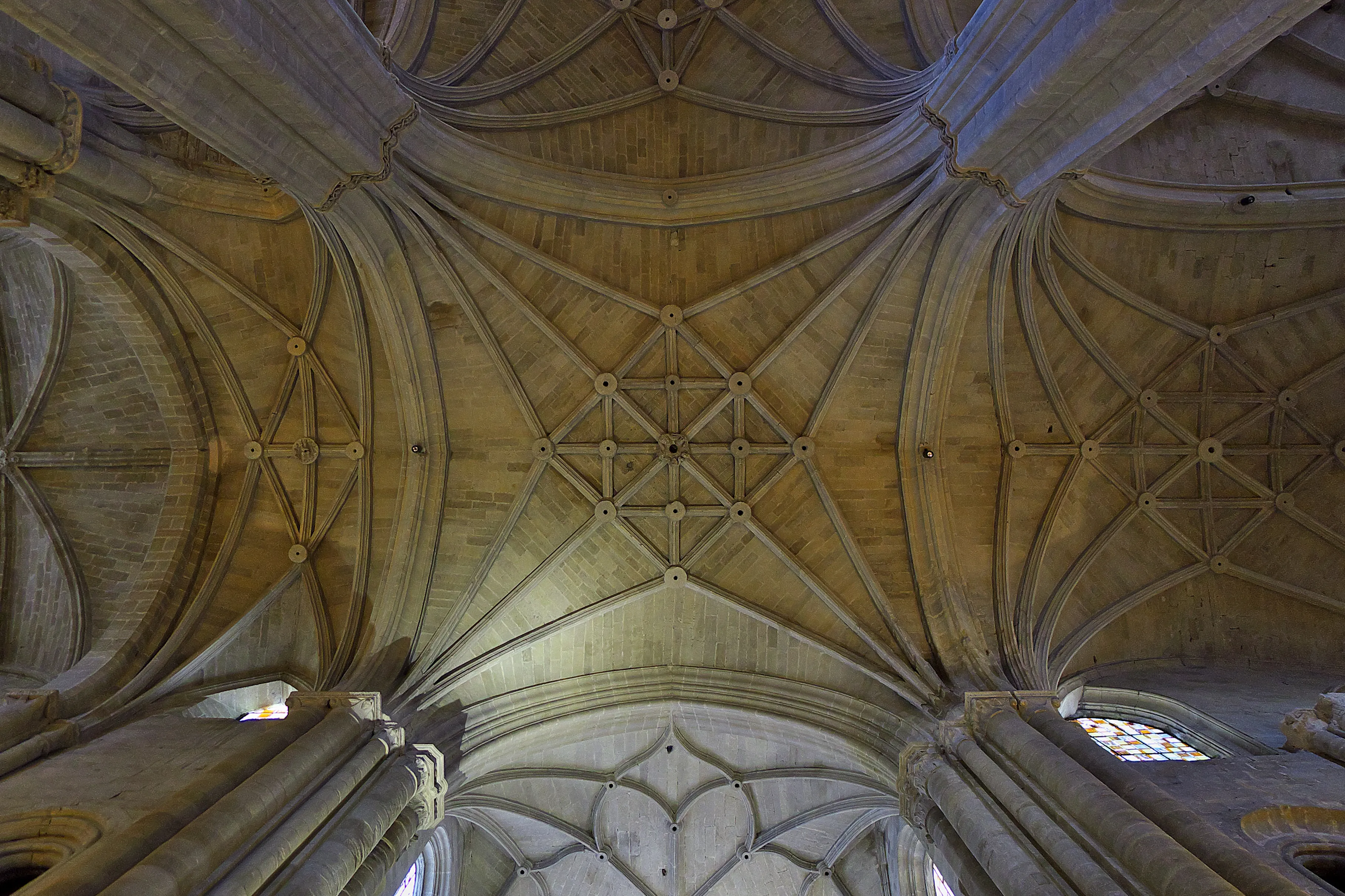
History
Millenary History of the Camino de Santiago: Origins and Evolution Bayonne Way
Discover the origins and evolution of Bayonne Way
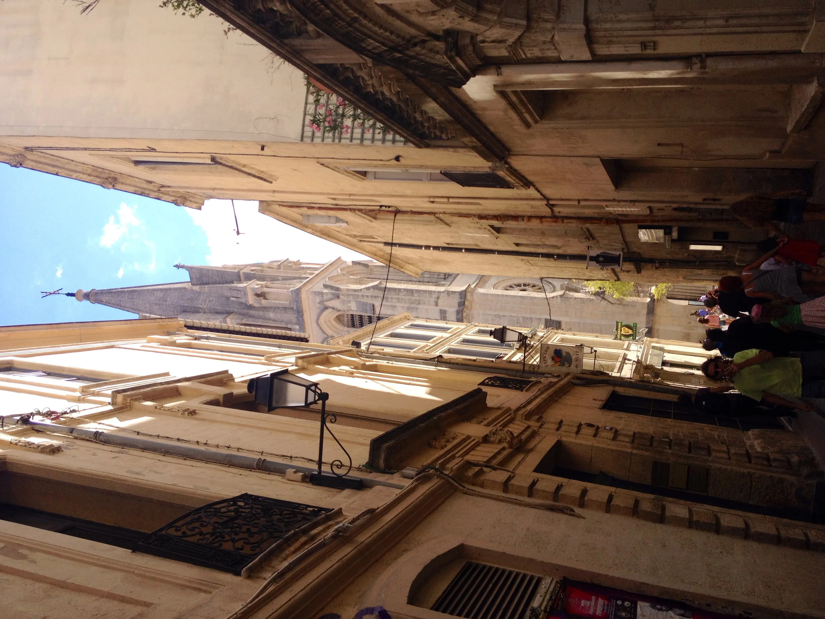
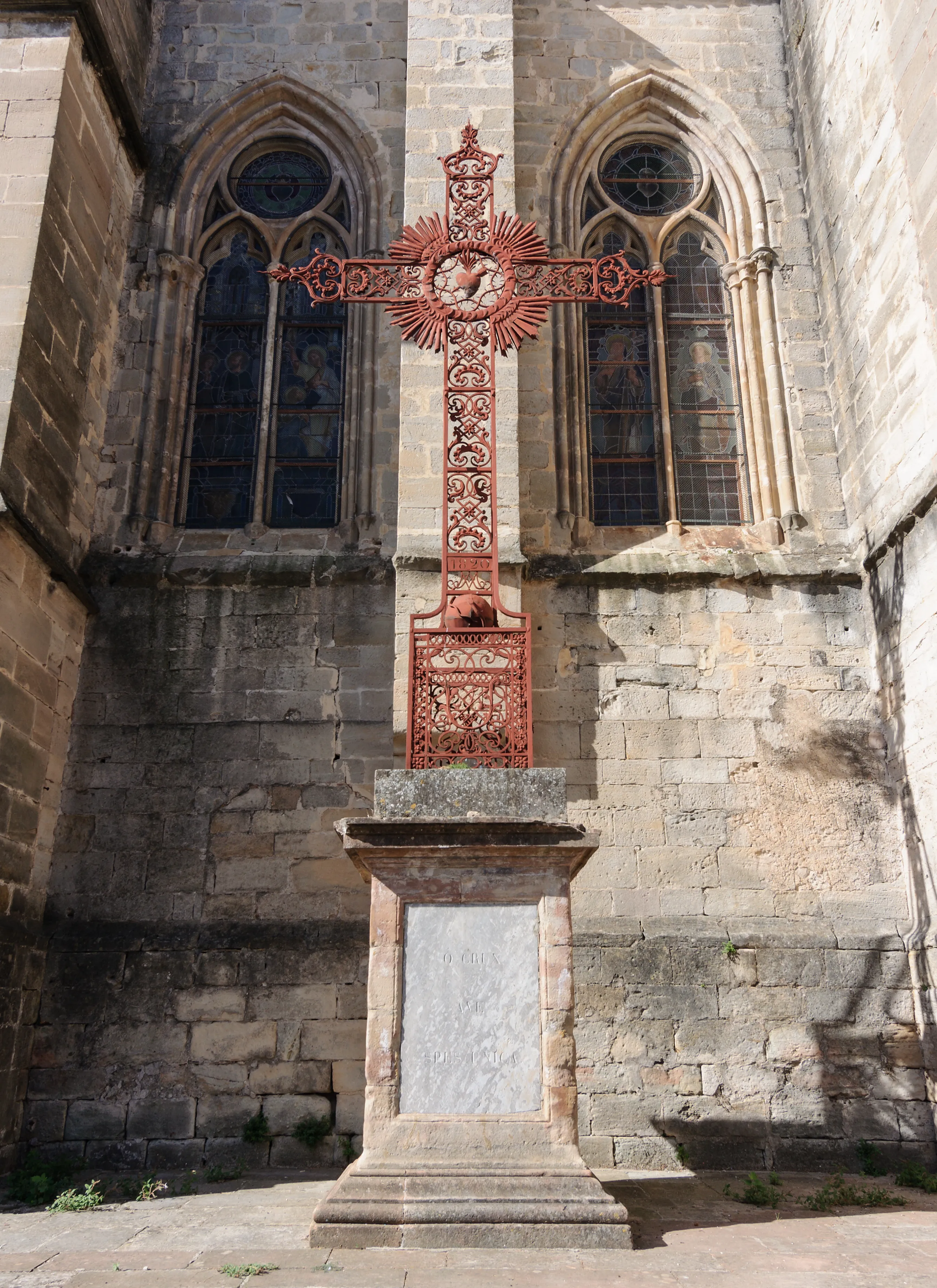
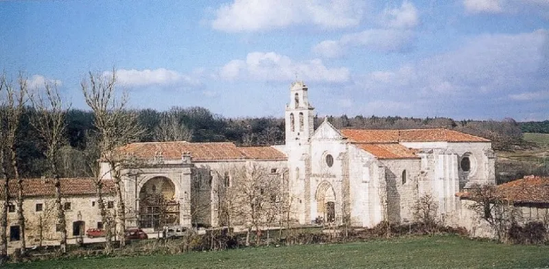
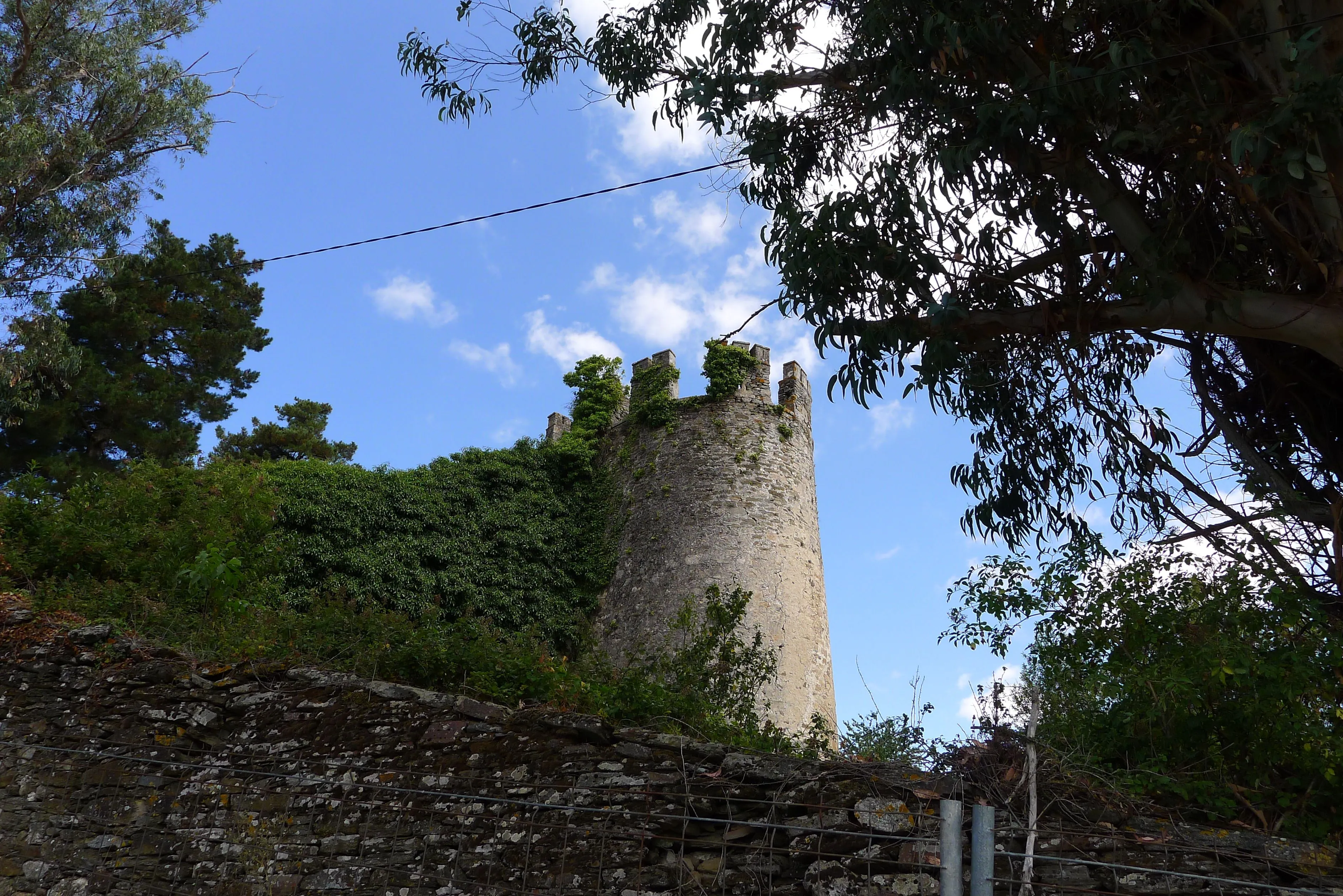
The city of Bayonne, situated strategically at the confluence of the Nive and Adour rivers, a few kilometers from the Cantabrian Sea, was in medieval times a prosperous commercial port and an important fortified town. For pilgrims coming from the vast Aquitania region as well as those descending along the French Atlantic coast, Bayonne was a natural meeting point and the last major urban center before facing the challenge of crossing the Pyrenean mountain range. From here, the route headed south, crossing the border via the Bidasoa River in Irún to begin its journey through Spanish territories.
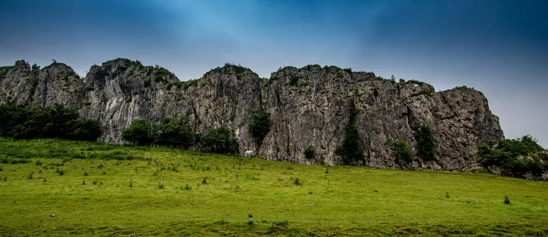
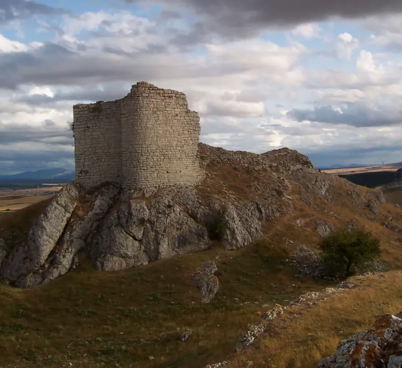
Once in the peninsula, the Way of Bayonne followed the same corridor as the Vasco Interior Route, delving into Guipúzcoa mountains to seek the passage-saving tunnel of San Adrián. This natural tunnel in the Aizkorri mountain range, used since prehistory, was the key to its success. It offered a lower and more sheltered route than other alternatives, making it transitable throughout the year. The cobblestone road and the hermitage inside, added to the protection of Navarra and Castile kings, made it the preferred option for many during the 11th and 12th centuries.
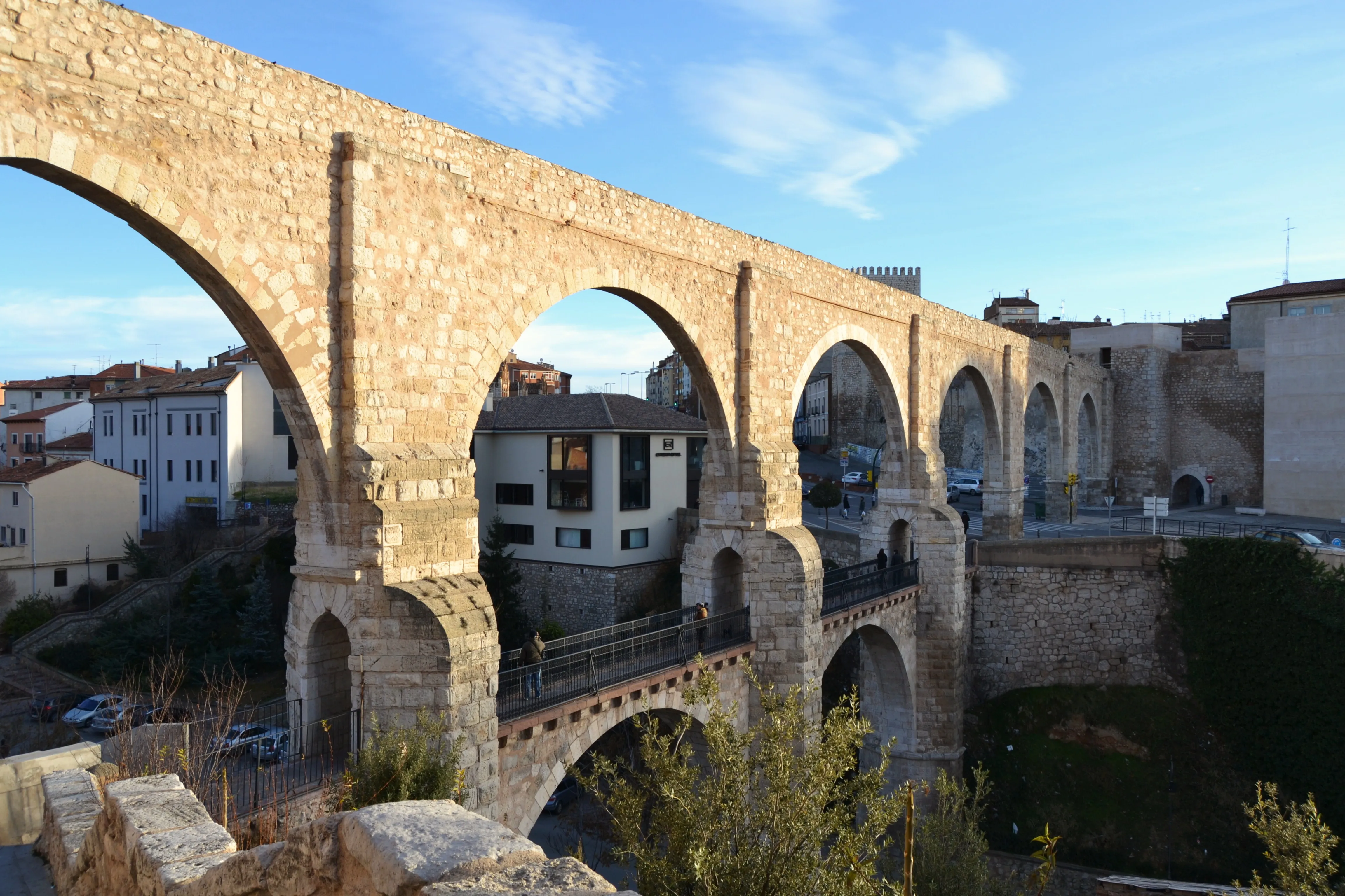
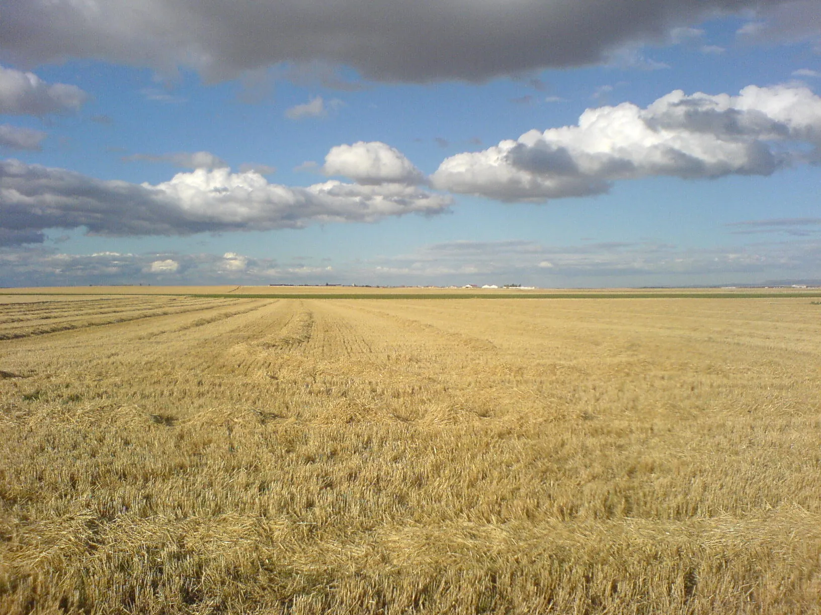
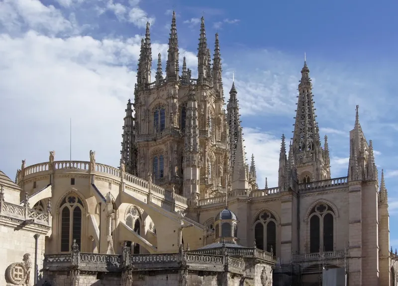
The journey continued through the Alavesa Plain, with Vitoria-Gasteiz as the main milestone, and from there headed south to cross the Ebro. The destination of Way of Bayonne pilgrims was to connect with the Camino Francés. The most direct and monumental connection was in Burgos. Reaching Burgos was not a minor matter; it was achieving the great "capital" of the Camino in Castile, a city endowed with an immense cathedral, a famous pilgrim hospital (the Hospital del Rey), and all the services a medieval traveler might need. The convergence in Burgos allowed Way of Bayonne pilgrims to join the main flow at its peak.
Other variants of the route sought to connect with Camino Francés in La Rioja, in towns like Santo Domingo de la Calzada, another of the great milestones of pilgrimage. The Way of Bayonne was therefore a route with multiple possibilities but with a clear objective: safely and efficiently crossing the Pyrenees to join the large route towards Compostela.
With the consolidation of Roncesvalles as the main entry point for Camino Francés, the Way of Bayonne gradually lost its international prominence, although it continued to be used. Its modern revival, marked as GR 655 in France and following the yellow arrows in Spain, has revitalized this historical itinerary. Today, it offers pilgrims the opportunity to follow one of the oldest and most authentic routes, a journey through Basque culture, spectacular landscapes, and a history that shaped European pilgrimage development.
We answer your questions
Frequently Asked Questions about Bayonne Way
How long is the Bayona Way and how much time does it take to walk it?
The Bayona Way has an approximate total distance of 286 km and is estimated to require about 12 days of walking. It offers a moderate challenge to pilgrims, with varied landscapes in the Basque Country and La Rioja.
Which is the best time of year to do the Bayona Way?
The ideal period for this journey is during mid-season, specifically April-June or September-October. During these months, you can enjoy pleasant weather and a moderate influx of pilgrims, allowing you to fully appreciate the Camino without overcrowding.
What does the reservation with Ourway Travel include for the Bayona Way trip?
Ourway Travel provides a complete experience on your journey along the Bayona Way. We include carefully selected accommodations, personalized advice and travel insurance. Additionally, we handle all logistical details so you can focus solely on enjoying the route.
How can I book the Bayonne Way with Ourway Travel?
To reserve your route along the Bayonne Way with Ourway Travel, simply visit our website and select the itinerary you prefer. Our expert team will guide you through the process to ensure every detail is perfectly covered before your departure.
Why choose the Bayonne Way instead of the French Way?
The Bayonne Way offers an alternative inland route to the traditional French Way, passing through the Basque Country and La Rioja. It provides a quieter journey with fewer crowds, allowing you to fully enjoy the culture and natural beauty of these regions. Additionally, this historic route has its own charm that sets it apart from the French Way.
How does the Way of Bayonne compare to the Basque Interior Way?
The Way of Bayonne and the Basque Interior Way share historical routes, but the Way of Bayonne emphasizes its French origin from Bayonne. Although their itineraries may overlap, each has its own identity and offers unique experiences that reflect their respective histories and landscapes.
What does the baggage transport service on the Bayonne Way include with Ourway Travel?
Ourway Travel makes your journey easier by offering a backpack transportation service. This means you won't have to carry your belongings during the trip, allowing you to fully focus on your pilgrim experience. Your luggage will be transported from one accommodation to another according to the planned itinerary.
How do I obtain the pilgrim's credential for the Bayonne Way?
To get the pilgrim's credential on the Bayonne Way, you can request it directly at your starting point or in churches along the route. Ourway Travel team can also assist you to ensure this important documentation is secured for a proper start of your journey.
Organize Your Camino
Ready for this adventure?
Bayonne Way