Complete Guide to The French Way
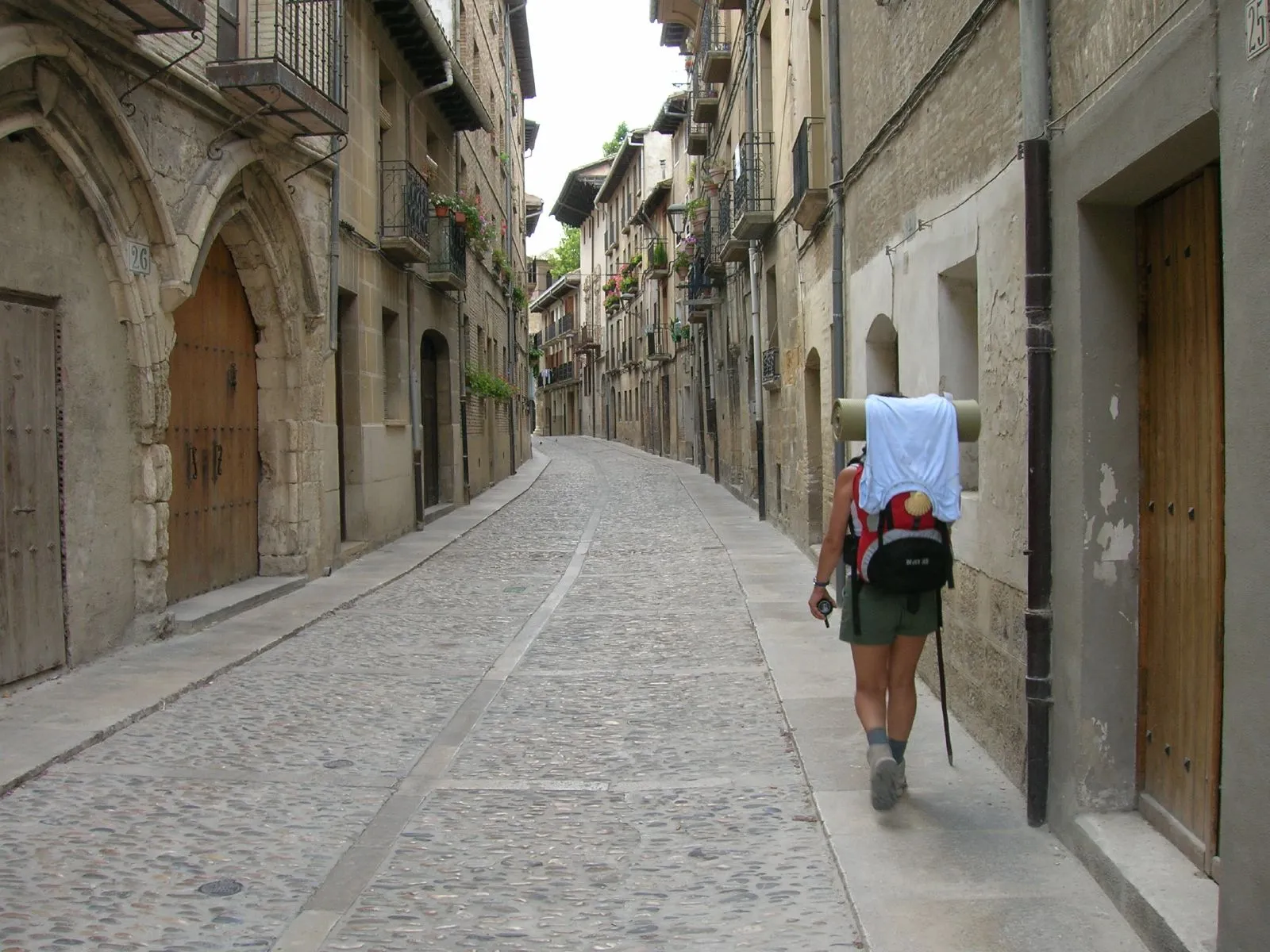
The Camino Francés is the most iconic and popular Jacobean route. Experience an unforgettable 779 km journey filled with history, culture, and unique landscapes from the Pyrenees to Santiago de Compostela.
Last updated: 28/03/2026
Table of Contents
Technical Summary of The French Way
779 km
Distance
33
days
33
Stages
Media
Difficulty
517 accommodations available on the route
Introduction to The French Way
Pilgrims traverse Navarra, La Rioja, Castile and León, and finally Galicia, marveling at monumental cities such as Pamplona, Burgos, and León, and charming villages. The diversity of its landscapes is one of its greatest attractions, from the Pyrenees and the Castilian plains to the green forests of Galicia. It's a physical and spiritual journey that leaves an indelible mark, ideal for both experienced pilgrims and those starting out on the Camino de Santiago.
All Stages of The French Way
Complete route divided into 33 stages
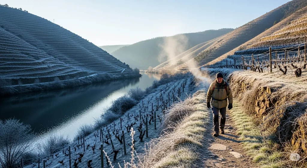
St. Jean Pied de Port to Roncesvalles
Considered the queen stage of the Camino Francés, this section is a monumental challenge that marks the beginning of pilgrimage for thousands of people. The journey involves crossing the Pyrenees, a n...
Roncesvalles to Zubiri
After the exhausting Pyrenean stage, this section offers a predominantly descending profile, a balm for the tired legs of pilgrims. The route winds through a dreamlike landscape, passing through some ...
Zubiri is going to Pamplona.
This stage marks the exciting transition from rural surroundings to the first major city on the Camino Francés: Pamplona. Following largely along the course of the Arga River, the route traverses a ri...
Pamplona to Pontevedra
This stage is one of the most iconic in Navarre, marked by the ascent to Alto del Perdón. From Pamplona, the route passes through the university area and villages such as Cizur Menor. The ascent to th...
Bridge of Queen to Estella
The stage connecting Puente la Reina with Estella is a beautiful 22-kilometer route that ventures into the heart of medieval Navarre. The landscape is dominated by fields of grain, vineyards and olive...
Stella at Los Arcos
This 21.3 km stage is characterized by a very special and awaited milestone for pilgrims: the Wine Spring of Irache Wineries. On leaving Estella, the path passes alongside the Monastery of Irache, whe...
The Arches at Logroño
During this 28-kilometer stage, the pilgrim says goodbye to Navarre and enters La Rioja, famous land of wine. The route is demanding due to its length but quite comfortable in terms of profile, with g...
Logroño to Najera
Leaving behind the vibrant Logroño, this 29.2 km stage fully enters the heart of La Rioja. The route is a delight for the senses, winding its way through a sea of vineyards that define the landscape. ...
Najera to Santo Domingo de la Calzada
This 20.7 km stage is one of the most comfortable and flat in La Rioja, allowing for a relaxed and constant walk. The landscape changes progressively, and extensive vineyards begin to share the spotli...
Santiago de Compostela to Santiago de Compostela
This 22.1 km stage marks the transition between La Rioja and Castile and León, entering Burgos province. The landscape continues to be dominated by cereal fields on a terrain of gentle undulations wit...
Belorado to San Juan de Ortega
This 23.9 km stage immerses the pilgrim fully in the Oca Mountains, a landscape of oak and pine forests that represents an enjoyable change from the plains. The route is of medium difficulty, with a p...
Saint John of Ortega to Burgos
This 25.8 km stage brings the pilgrim to the monumental city of Burgos. The first part runs through a low mountain landscape and forests, passing by the small town of Agés. The route crosses the Sierr...
Burgos to Hornillos del Camino
As he left behind the monumental Burgos, the pilgrim dives headfirst into the essence of the Castilian Plateau. This 20.6 km stage is one of the most representative of the steppage landscape: endless ...
Horns of the Road to Castrojeriz
Continuing through the heart of the Burgalesian tableland, this 21-kilometer stage offers a similar landscape to the previous day, with plains and open horizons. The road passes through the small vill...
Castrojeriz at Frómista
This 25.2 km stage departs from the province of Burgos to enter Palencia Province. The journey begins with a demanding ascent at Mostelares, leaving Castrojeriz, before entering completely flat terrai...
From Frómista to Carrión de los Condes
This 19.3 km stage is one of the most representative of the Palatine Tableland. It characterizes itself as a practically flat and straight route that often runs parallel to the road, through the vastn...
Carrión de los Condes to Terradillos de los Templarios
A peaceful stage through the Palatine plain, crossing characteristic agricultural landscapes of the Meseta. It may follow ancient paths linked to the Order of the Temple, offering a path of reflection...
Templar Terradillos to Bercianos of the Royal Way
This stage continues across the vast horizons of the Meseta, entering into rural landscapes of cereal fields. The route is mainly flat and exposed, ideal for introspection, and can approach areas with...
Bercianos del Real Camino to Mansilla de las Mulas
Last stage of this stretch through the Meseta, leading to the historic walled town of Mansilla de las Mulas. The road remains predominantly flat, offering a peaceful closure to the journey across the ...
Mansilla de las Mulas to León
This 18.5 km stage marks the end of the Meseta and the expected arrival at one of the major capitals on the Camino Francés: León. The route is predominantly flat, but the landscape changes dramaticall...
Leon to San Martin de Yanes
Leaving León, this 24.3 km long stage enters the Leonese Páramo, one of the flattest and most exposed areas on the entire Camino Francés route. The path advances along a dirt road that runs parallel t...
San Martin of the Way to Astorga
This 23.7 km stage departs from the Páramo's plain to venture into a terrain of gentle undulations that anticipates the arrival at the mountain. The most notable landmark of the day is crossing the im...
Astorga to Foncebadon
Leaving Astorga, this 25.8 km stage marks the beginning of the ascent to the León Mountains, a drastic change in landscape and a new challenge for the pilgrim. The path enters the Maragatería region, ...
Headed for Ponferrada
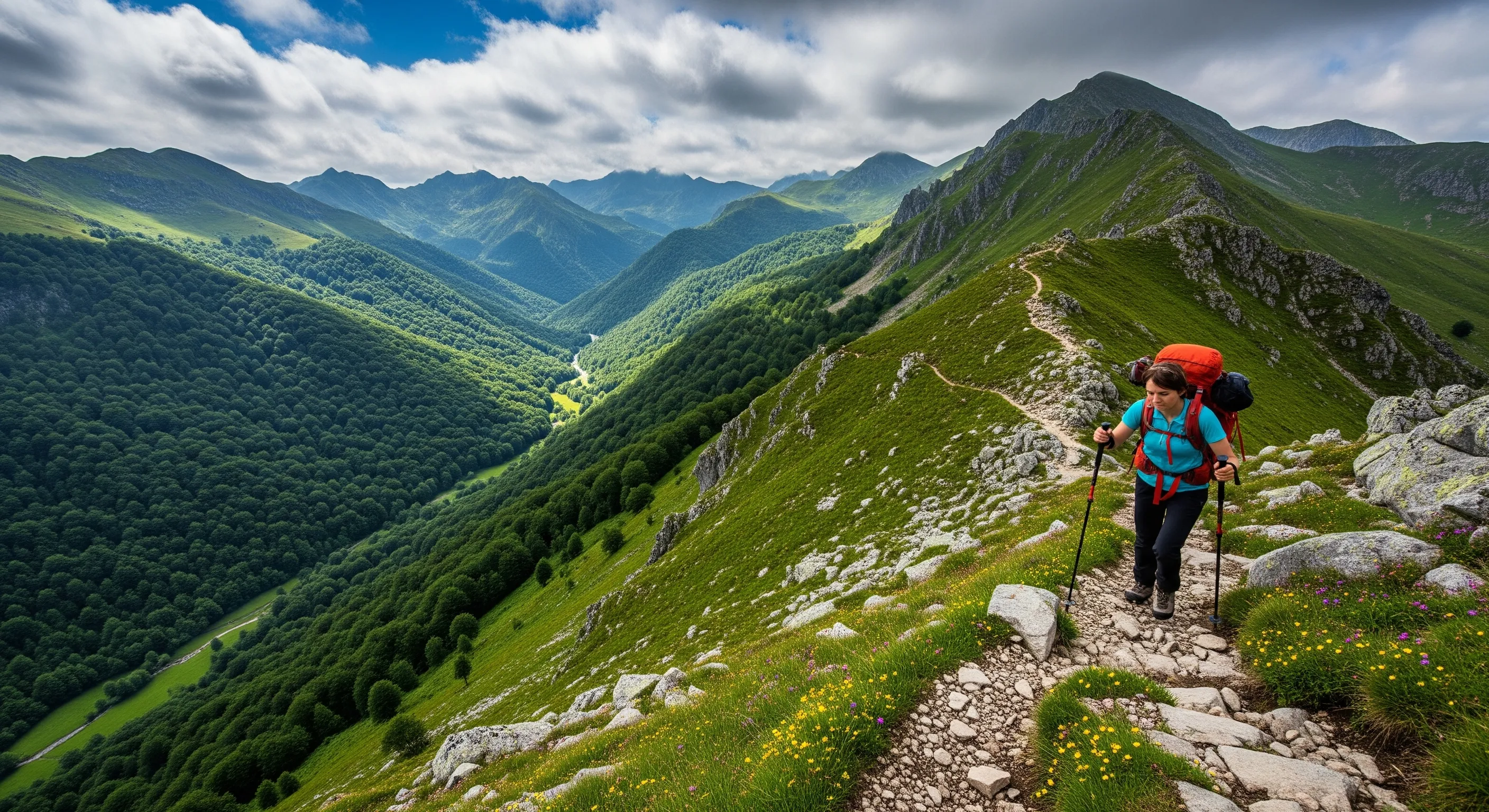
This 26.8-kilometer stage is one of the most symbolic and spectacular parts of the French Way. It begins with a short ascent from Foncebadón to Iron Cross, the highest point on the Camino (1,500 m), w...
Ponferrada to Villafranca del Bierzo
This 23.2 km stage is an enjoyable and smooth walk through the fertile El Bierzo region. The profile is mainly flat with some undulations, allowing for a relaxed walk. The landscape is dominated by vi...
Villafranca del Bierzo to O Cebreiro
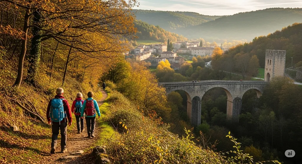
This is one of the most difficult, mythical and beautiful stages of the Camino Francés. With 27.8 kilometers, the journey involves ascending from the Valcarce valley to the top of O Cebreiro, the entr...
From Cebreiro to Triacastela
A prolonged descent through Galicia's rural green landscapes, crossing native forests and small villages with charm. This stage is a relief after the challenge of O Cebreiro, offering panoramic views ...
Trasillo de Cima a Sarria
This stage offers the pilgrim the option to choose between two variants. The northern route, shorter (18.3 km) and mountainous, passes by San Xil and offers beautiful rural landscapes of Galicia. The ...
Sarria to Portomarín
This 22.2 km stage is one of the most popular on the Camino, as it's the first full day for those starting in Sarria. The route is a continuous up and down through rural Galicia at its most typical, a...
Portomarín to Palas de Rei
This stage is a clear example of the characteristic "rocky terrain" of Galicia. After leaving Portomarín, the path begins a continuous but gentle ascent to Ligonde Mountain Range. Along the way, numer...
Palace of Reis to Arzúa
This is one of the longest stages of the Galician stretch, with continuous ups and downs. The path traverses a mosaic landscape of meadows, forests and small villages, crossing numerous streams. The k...
Aroxo to O Penedo
Known as the "pilgrim's anxiety" stage, this journey is the precursor to Santiago. It is a relatively short and gentle route with soft undulations that mostly follow forest trails through eucalyptus f...
To Pedrouzo from Santiago de Compostela
The last and most magical stage of the Camino Francés. It is loaded with emotion and symbolism. The first part unfolds in a rural environment similar to that of previous days. The first major moment a...
Key Towns of The French Way
The most important towns and cities on this route.
Saint-Jean-Pied-de-Port
Iconic starting point of the French Way in France. Saint-Jean-Pied-de-Port, with its medieval charm and Jacobean atmosphere, is the gateway for thousands of pilgrims.
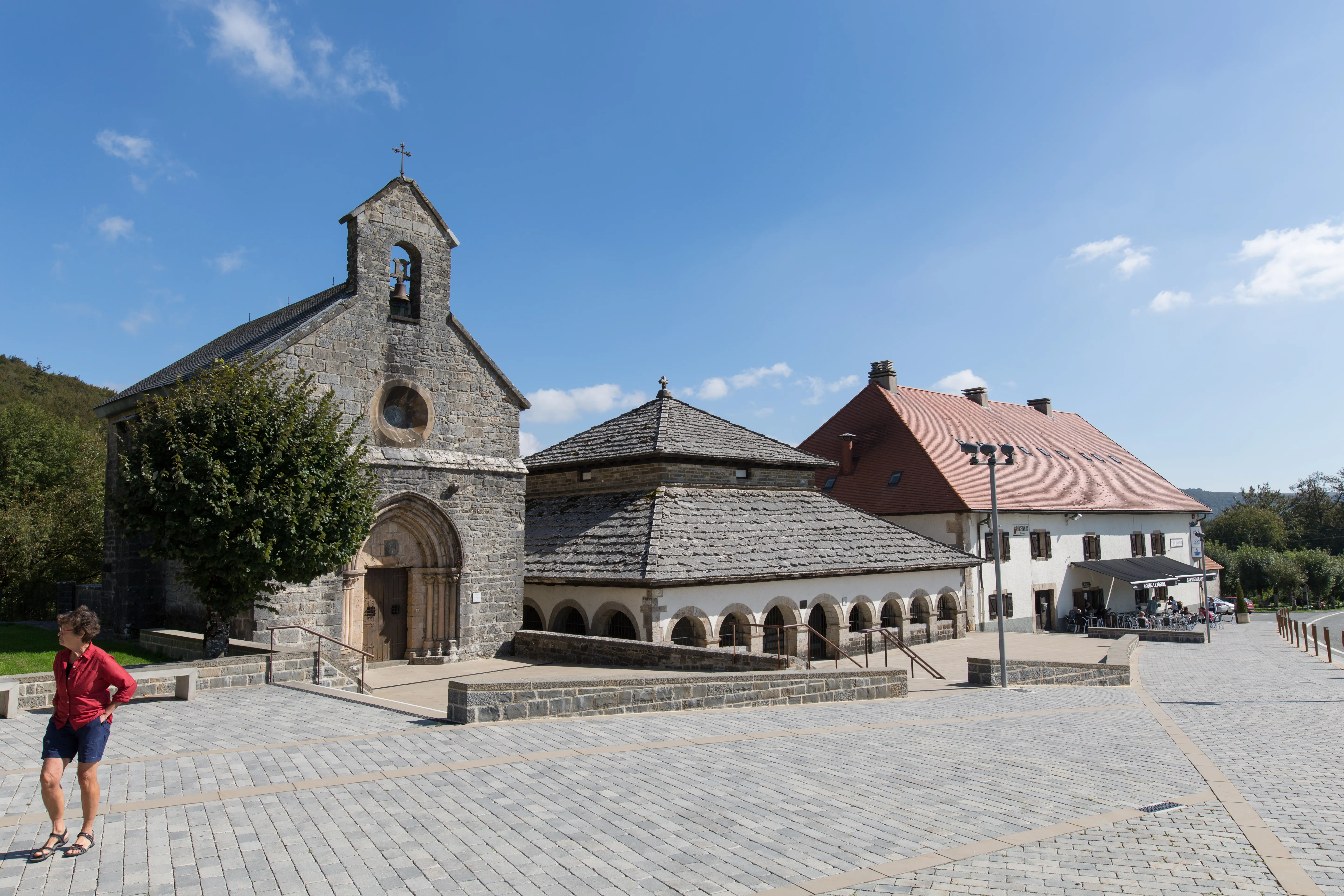
Roncesvalles
Legendary end of the first stage of the French Way in Spain. Roncesvalles, with its imposing collegiate church, is a historic and spiritual refuge for pilgrims after crossing the Pyrenees.
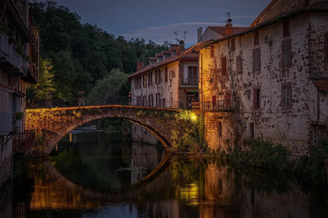
Zubiri
Entrance to the Pyrenees Navarre on the Camino Francés. Zubiri, with its iconic Bridge of Rage over the River Arga, is the first key stop and refuge for pilgrims after Roncesvalles.
Pamplona
First major city on the French Way in Spain. Pamplona, famous for the Sanfermines, offers pilgrims a vibrant old town, Renaissance walls and exquisite gastronomy of pinchos.
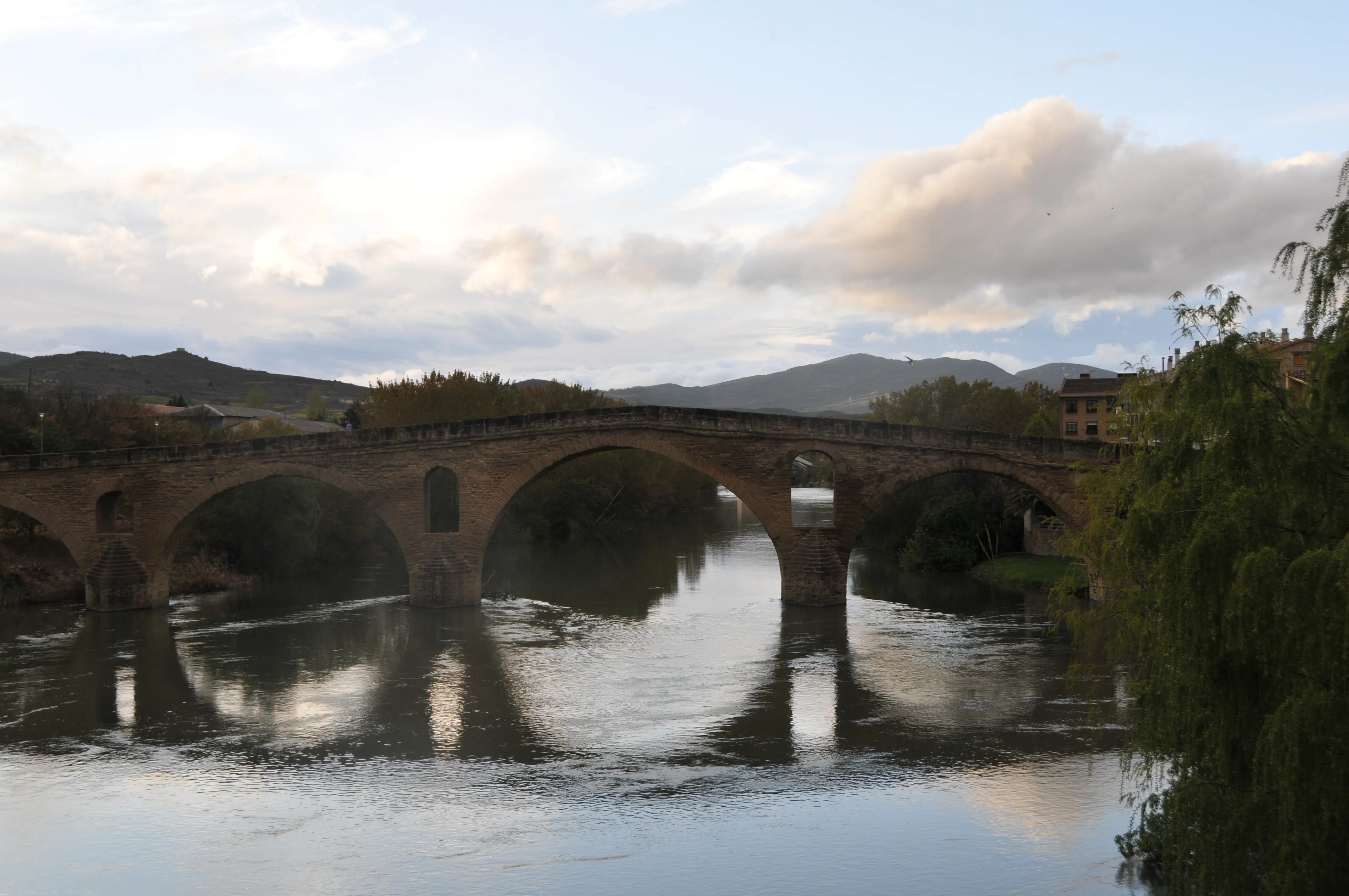
Puente la Reina
Heart of the Camino Francés in Navarra. In Puente la Reina, the routes of Roncesvalles and Somport converge. Its majestic Romanesque bridge is a universal symbol of pilgrimage to Santiago.
Estella
Known as "the northern Toledo," Estella is a monumental jewel on the French Way. Its Romanesque and Gothic heritage by the River Ega offers an indispensable cultural refuge.
Los Arcos
Navarran villa with vibrant Jacobean atmosphere. Its church of Saint Mary and its monumental portico are a key stop to admire the art and history on the French Way before arriving in La Rioja.
Logroño
Capital of La Rioja and confluence of the Camino Francés and the Ebro. Famous for its wine and lively Calle Laurel, it is the pilgrim's paradise for the tapas crawl.
Nájera
Old capital of the Kingdom of Najera and cradle of kings. This Riojan city is an essential stop on the Way of St James, famous for the Monastery of Saint Mary the Royal and its Royal Pantheon.
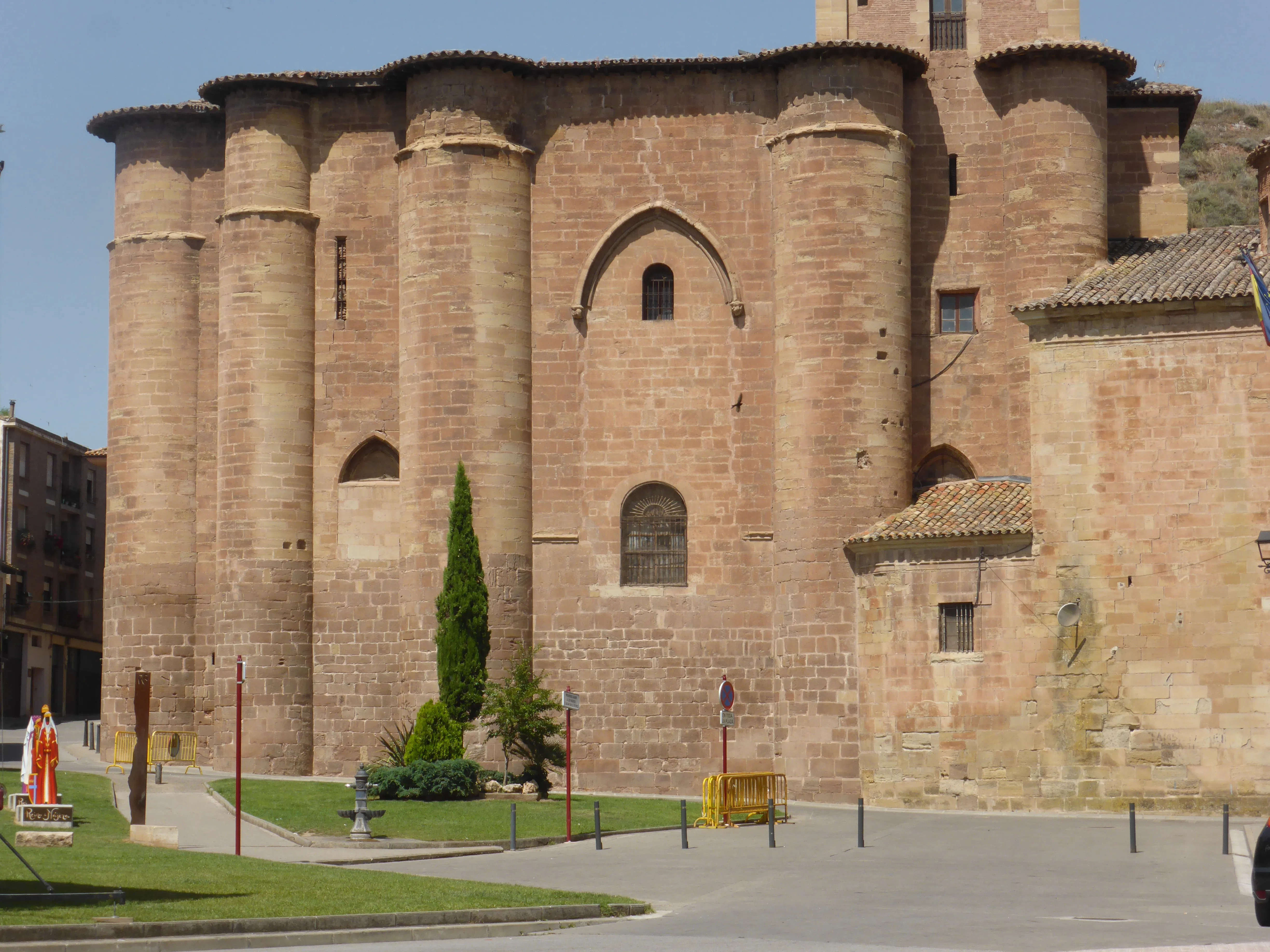
Santo Domingo de la Calzada
City legend of the French Way in La Rioja. Famous for the miracle of the rooster and hen, its Cathedral is an indispensable Jacobean stop, full of history and tradition.
Belorado
Colorful Burgalese village on the Camino Francés. Belorado, with its urban art murals and caves, offers a colorful and original stop as well as a deserved rest on the route.
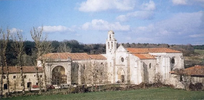
San Juan de Ortega
990 mSt. John of Ortega is an essential stop on the Camino Francés, famous for its historic monastery and the figure of its founder. St. John of Ortega offers a place of retreat and a deep connection with Jacobean history.
History of The French Way
The birth of this route is intrinsically linked to the advance of the Reconquista. Visionary monarchs such as Sancho III the Great of Navarre and later his vassal Alfonso VI of León and Castile understood the immense political and spiritual power represented by the cult of Saint James. As their kingdoms expanded towards the south, they pacified the territories of the north plateau and proposed creating a safer, more direct, and accessible route for the massive influx of pilgrims coming from beyond the Pyrenees. They deliberately diverted the flow of dangerous coastal and mountainous routes onto this new path, which benefited in many stretches of the route from ancient Roman roads.
In this context, the influence of the Cluniac Order was decisive. The cluniac monks, with their vast network of monasteries and enormous ecclesiastical power, became the great promoters and organizers of the Camino. Their work did not stop at spreading Jacobean faith; they were genuine engineers and logisticians, pushing the construction of bridges, founding pilgrim hospitals, and building monasteries that served as spiritual centers and reception points. They created, in fact, the first major network of "services" for travelers across Europe.
The definitive consecration of the Camino Francés came in the 12th century with the publication of the "Codex Calixtinus", an extraordinary pilgrimage guide attributed to the French cleric Aymeric Picaud. This manuscript, in its Book V, described with astonishing precision the stages, shrines, people, and potential dangers of the journey. It formalized the itinerary by describing the four major routes that departed from France (the Turonensis route from Paris, the Lemovicensis route from Vézelay, the Podiensis route from Le Puy-en-Velay, and the Tolosana route from Arles) and how the first three converged in Ostabat to cross the Pyrenees via Roncesvalles while the fourth did so through Somport. The two branches, Navarro and Aragonese, finally united in Puente la Reina, Navarre, under the famous phrase "And from here, one single path is made".
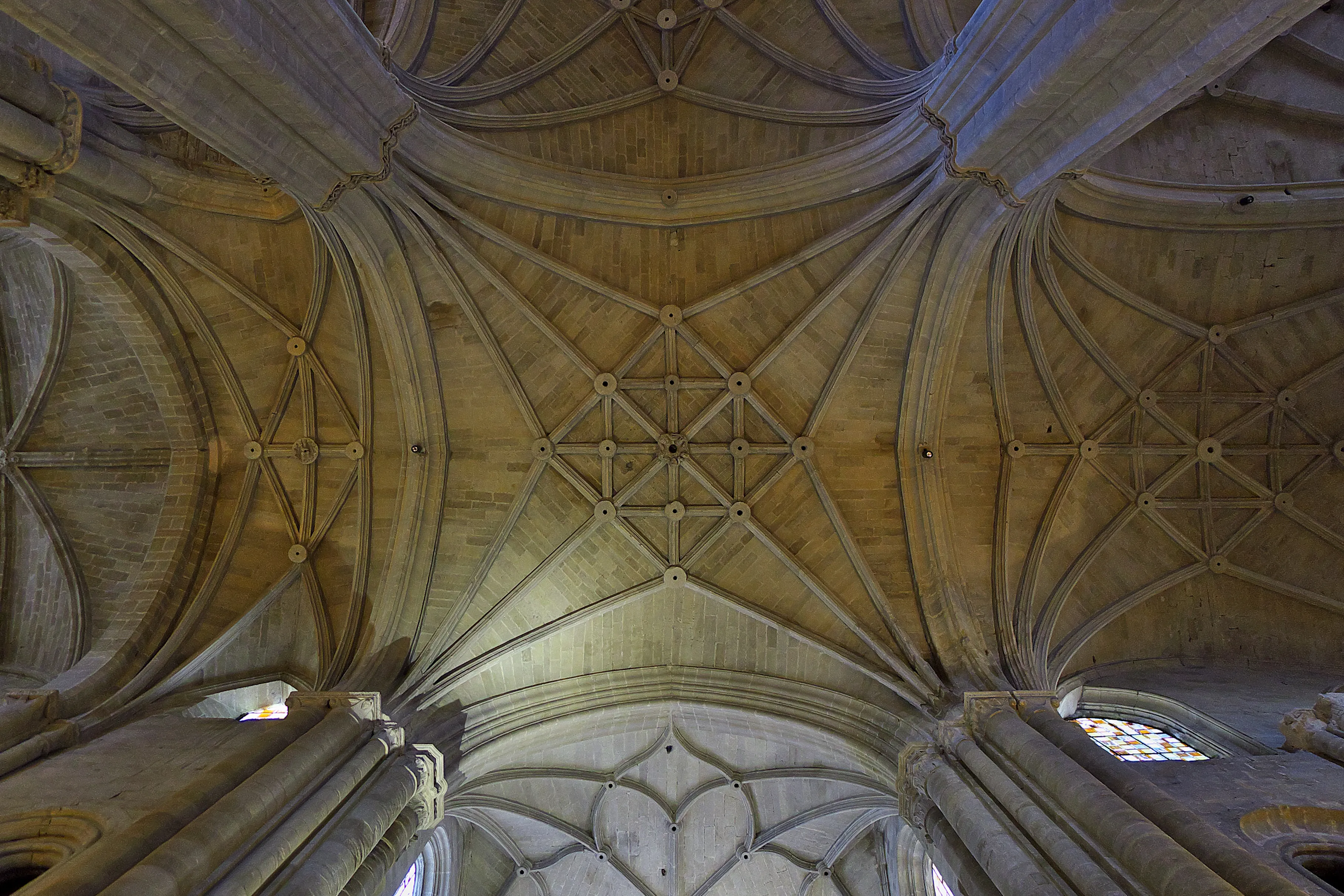
During the Middle Ages, the Camino Francés became a melting pot of cultures, an authentic "main street of Europe". Millions of pilgrims of all social condition — kings and beggars, saints and rogues— walked it motivated by faith, penance, or the search for miracles. This constant flow of people brought about an unprecedented exchange of ideas, knowledge, artistic styles, and commercial practices. The art of the Romanesque period flourished alongside the Gothic, leaving behind a monumental legacy in cathedrals like those in Jaca, Pamplona, Burgos, León, and, of course, Santiago de Compostela.
Military orders such as the Knights Templar and the Order of Saint James were established along the route to protect pilgrims from bandits and the dangers of the journey.
After centuries of splendor, the route experienced a gradual decline starting in the 16th century, affected by the Black Death, religious wars, Protestant Reformation, and changes in mentality during the Renaissance and Enlightenment. However, pilgrimage never disappeared completely.
Its modern revival is a phenomenon of the 20th century, driven by scholars, associations, and above all, by Elías Valiña Sampedro, a parish priest from O Cebreiro. In the 1980s, Valiña personally walked the entire Camino Francés and marked it with the now-iconic yellow arrows, rescuing it from oblivion. This impulse was reinforced by the European Council's designation of the First Itinerary Cultural European in 1987 and UNESCO's recognition as World Heritage in 1993. Today, the Camino Francés remains alive, more popular than ever, as a testament to faith, culture, and human encounter.
Accommodations on the Route
The The French Way has 517 verified accommodations along the entire route.
View Stages & AccommodationsPractical Tips for The French Way
Best Season
Spring (April-June) and autumn (September-October) are the best seasons. Pleasant temperatures and fewer crowds than summer.
Physical Preparation
Train by walking progressively in the months before. Start with short distances and increase. Your body will adapt to the rhythm of the Camino.
What to Pack
Light backpack (max 10% of your weight), worn trekking shoes, breathable technical clothing, raincoat, sunscreen and basic first aid kit.
General Tips
Carry the pilgrim credential, stay hydrated, respect your pace, book accommodation in high season and enjoy the journey without rushing.
FAQ about The French Way
El Camino Francés desde Saint-Jean-Pied-de-Port hasta Santiago de Compostela tiene unos 780 km y se recorre habitualmente en 31-35 etapas, lo que supone entre 4 y 5 semanas caminando. Muchos peregrinos eligen hacer solo la última parte desde Sarria (112 km, 5-6 etapas), que es la distancia mínima para obtener la Compostela.
La primera etapa, cruzando los Pirineos de Saint-Jean-Pied-de-Port a Roncesvalles, se considera la más exigente con más de 1.200 metros de desnivel positivo en 25 km. Otras etapas duras son la subida a O Cebreiro desde Villafranca del Bierzo y el Alto del Perdón cerca de Pamplona.
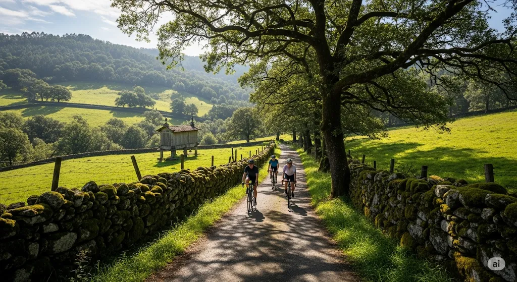
Sí, el Camino Francés es perfectamente apto para bicicleta. En bici se completa en 10-14 días. Se necesitan al menos 200 km pedaleados para obtener la Compostela. La ruta está bien señalizada para ciclistas con variantes alternativas en algunos tramos de montaña.
Las principales ciudades son Pamplona, Estella, Logroño, Burgos, León, Astorga y Santiago de Compostela. Cada una ofrece patrimonio histórico, gastronomía local y servicios completos para el peregrino.
La primavera (abril-junio) y el otoño (septiembre-octubre) son las mejores épocas. El verano es el período más concurrido, con más calor y masificación. El invierno es posible pero con menos servicios abiertos y peores condiciones en los Pirineos.
En temporada alta (julio-agosto) es muy recomendable reservar con antelación en etapas populares como Pamplona, Burgos o León. En primavera y otoño se puede ir sin reserva. Los albergues públicos no admiten reservas anticipadas.
La credencial del peregrino es el documento principal, que se sella en albergues, iglesias y bares. Se obtiene en Saint-Jean-Pied-de-Port o en asociaciones de amigos del Camino. Con al menos 2 sellos diarios desde Sarria se puede solicitar la Compostela en Santiago.

Ready for this adventure?
Let us organize your pilgrimage. We take care of accommodations, transfers and everything you need.