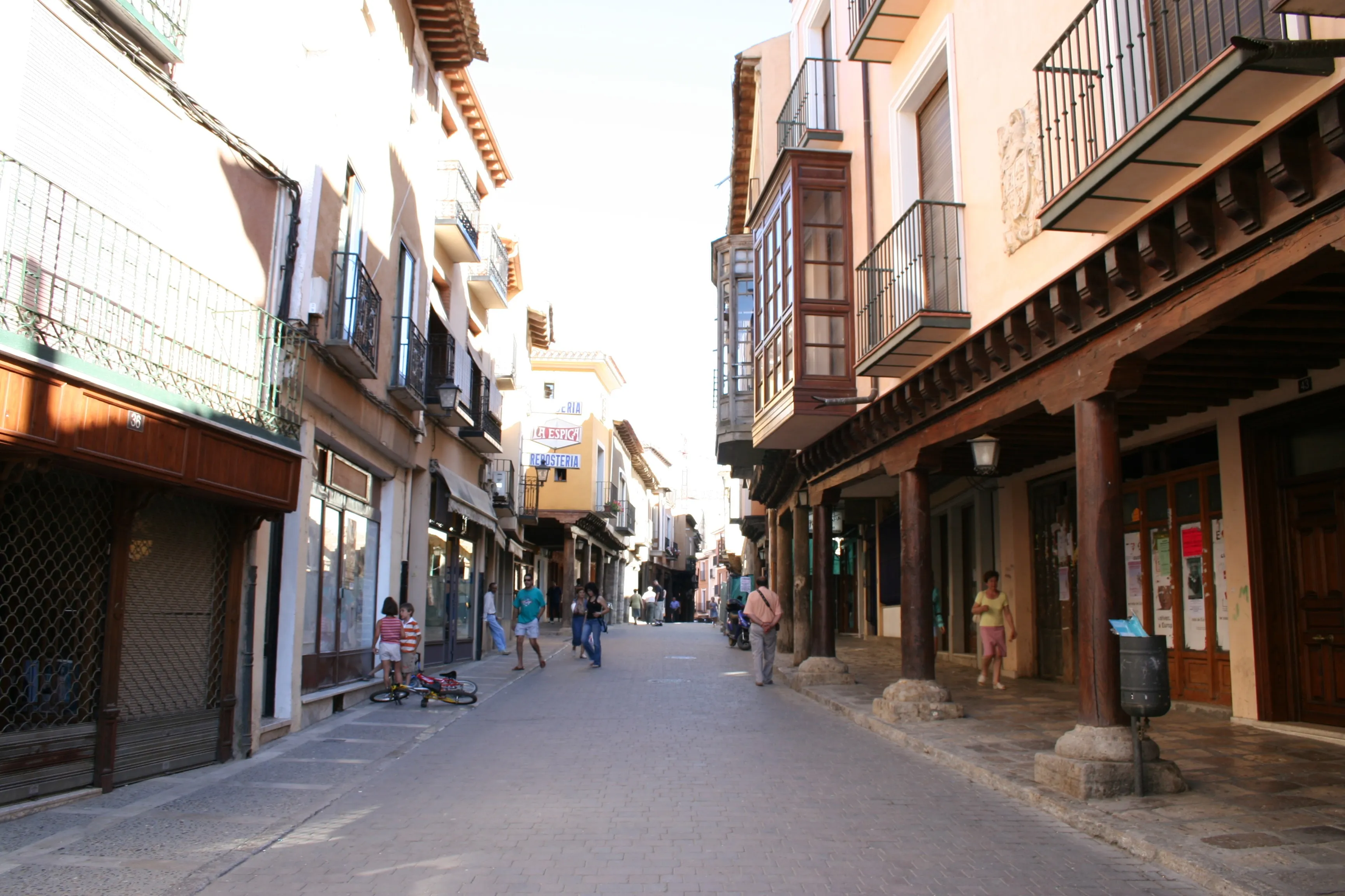
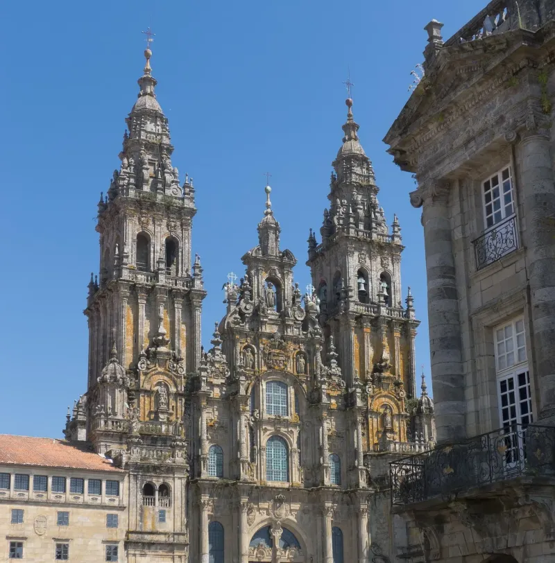
Camino de Santiago
Winter Path
Choose the Winter Way, the historical alternative to the French Way to avoid snow in O Cebreiro. Discover the valley of the Sil, the Sacred Ribeira and the four Galician provinces.
Organize your Winter PathLast updated: 21/05/2024
The Route
General Description of Winter Path
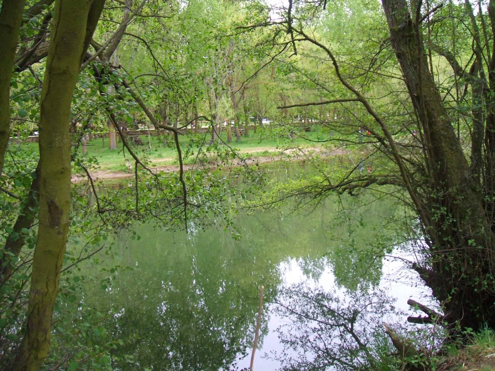
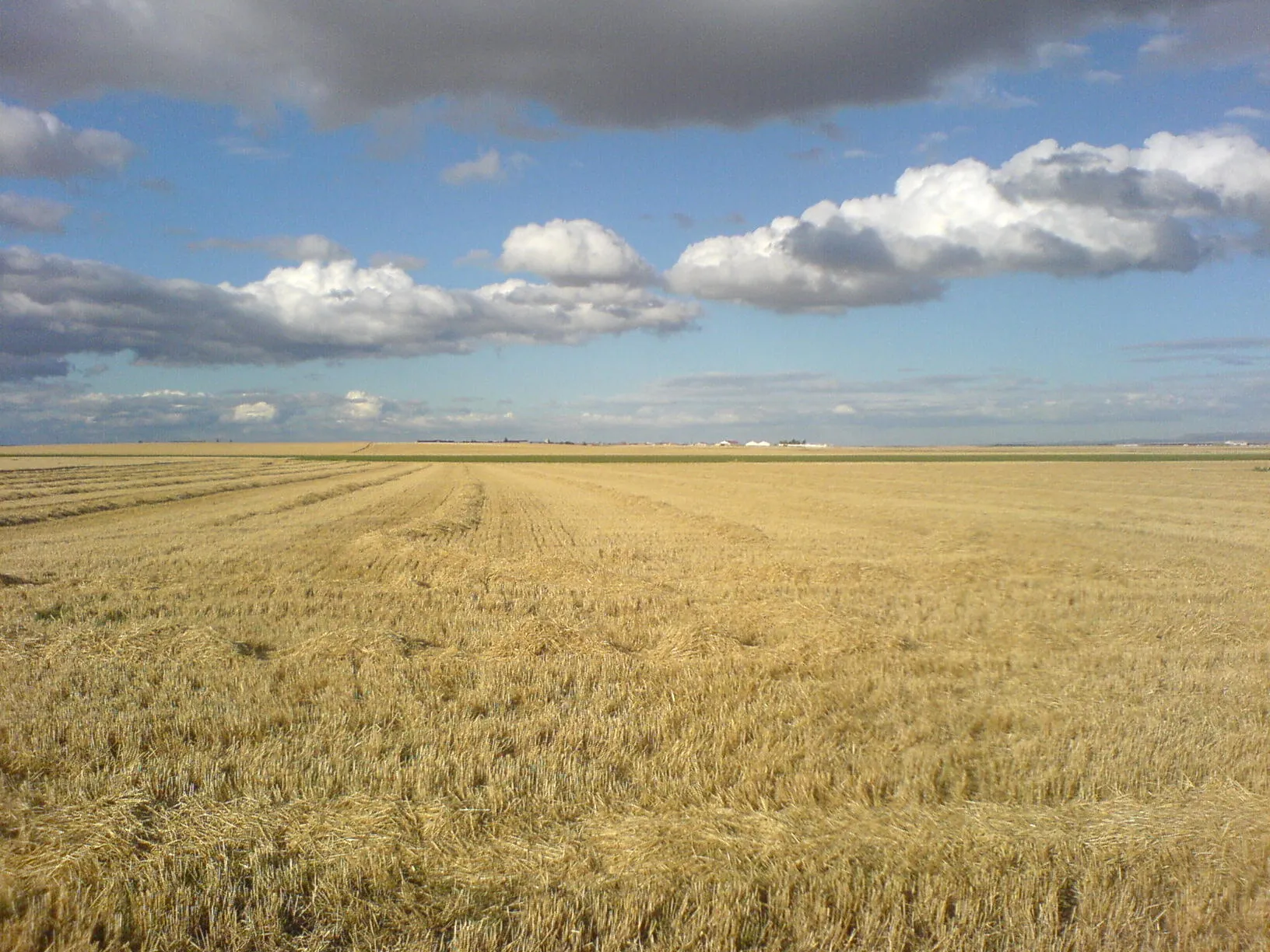
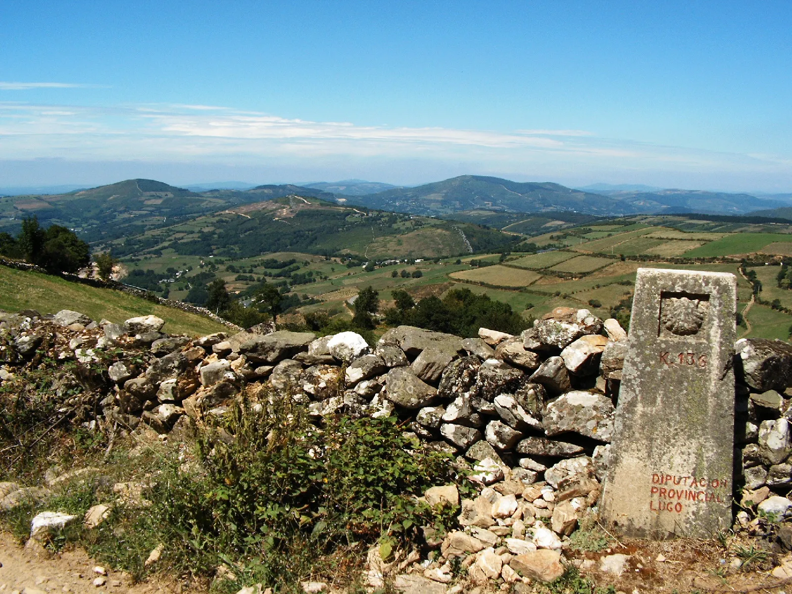
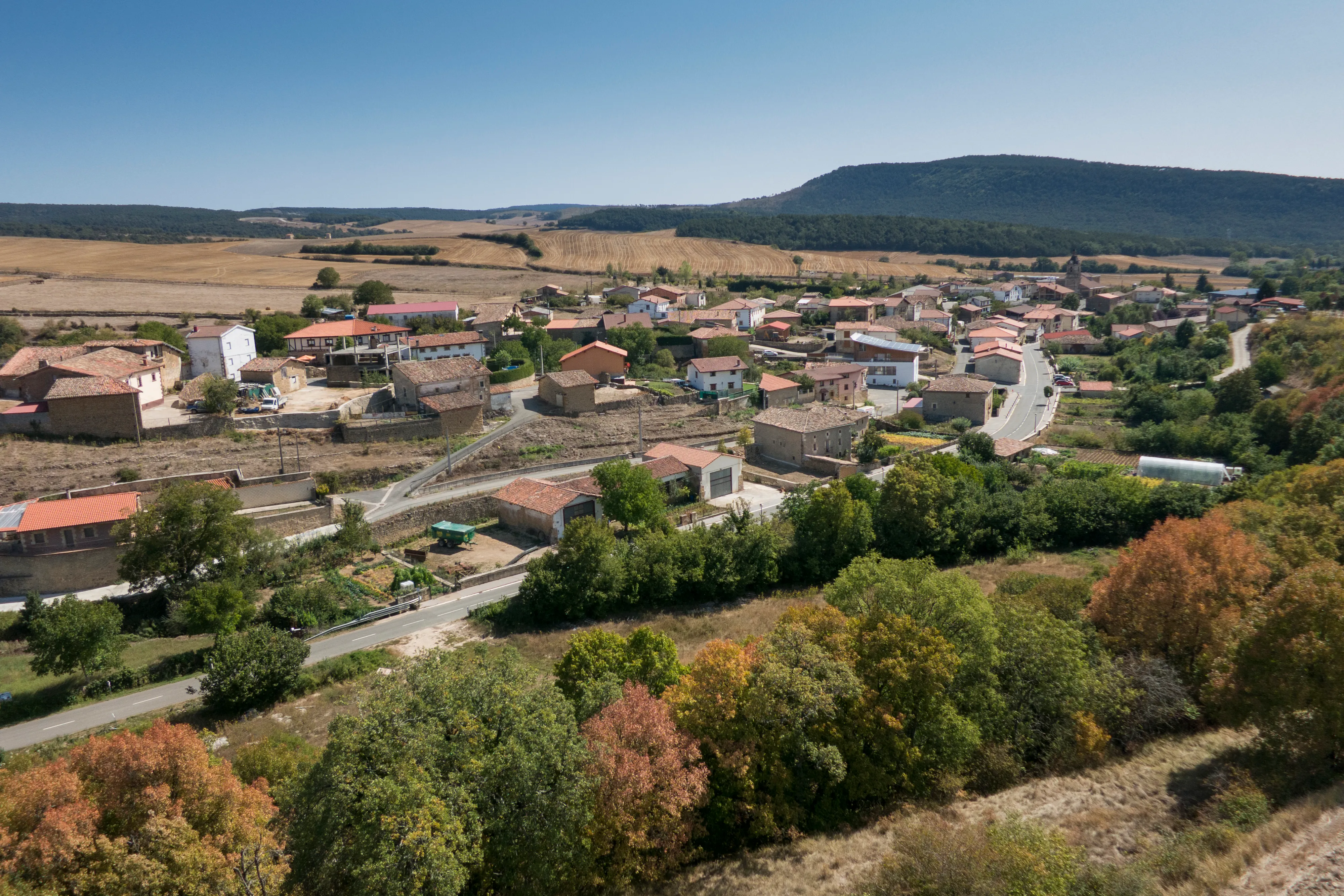
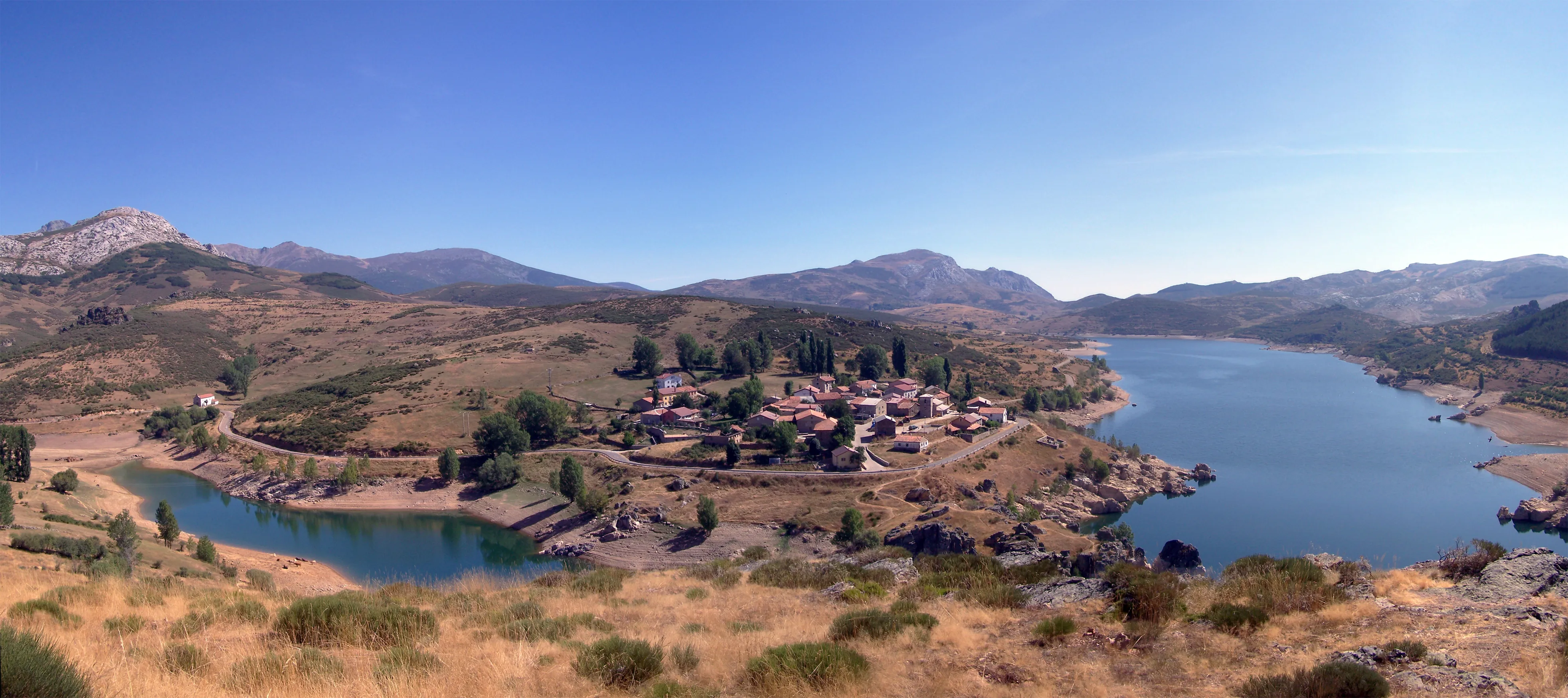
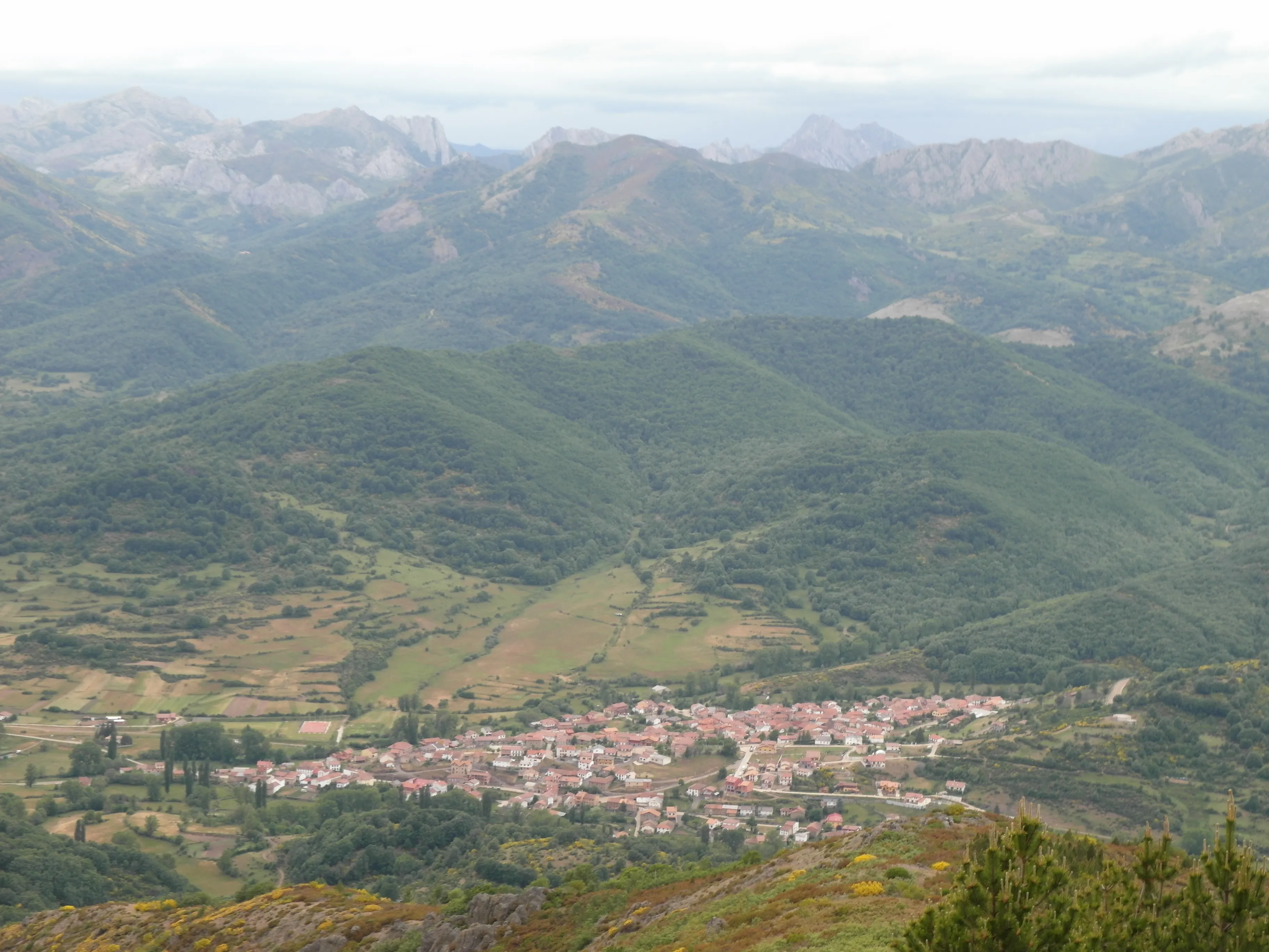
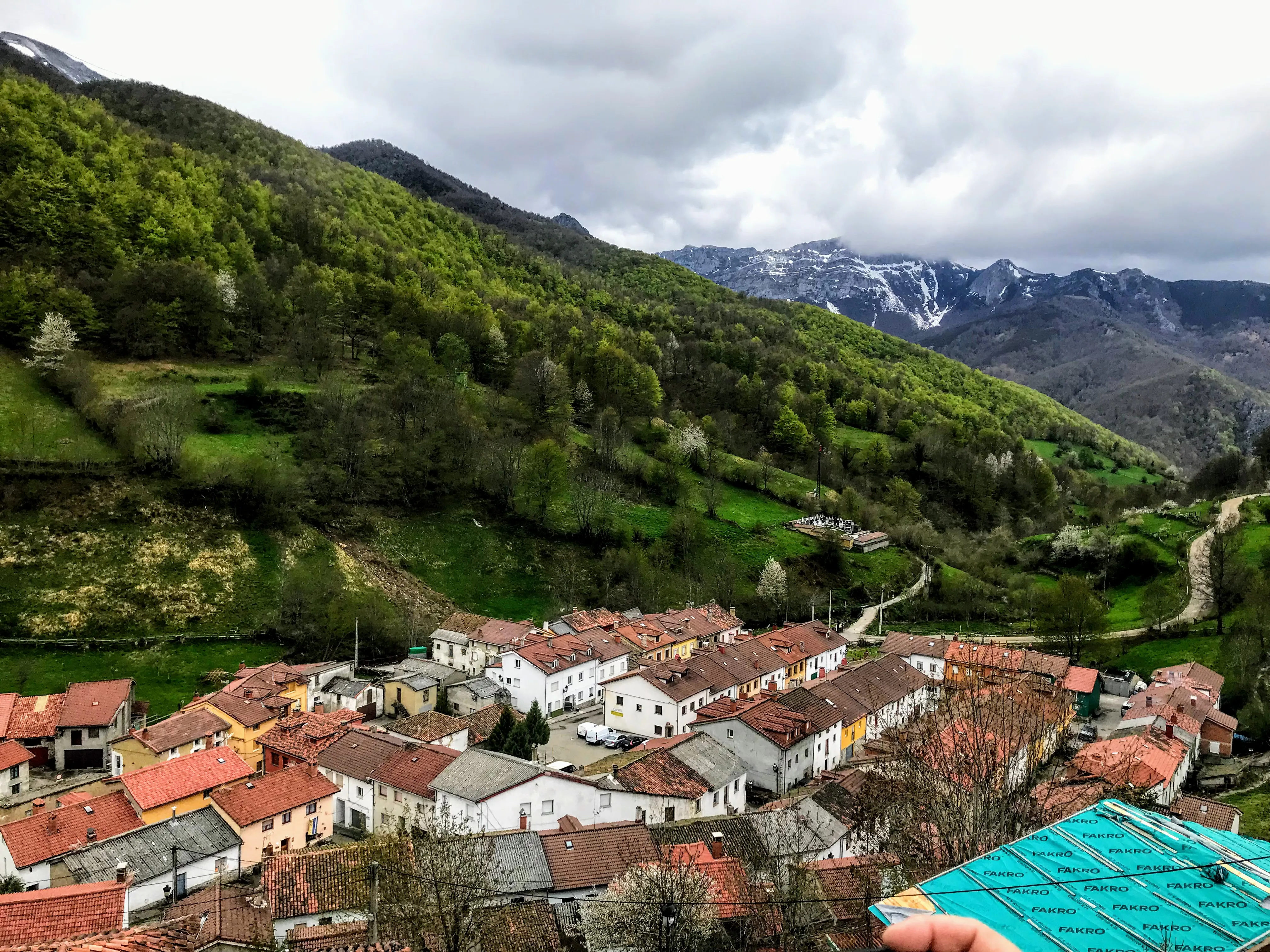
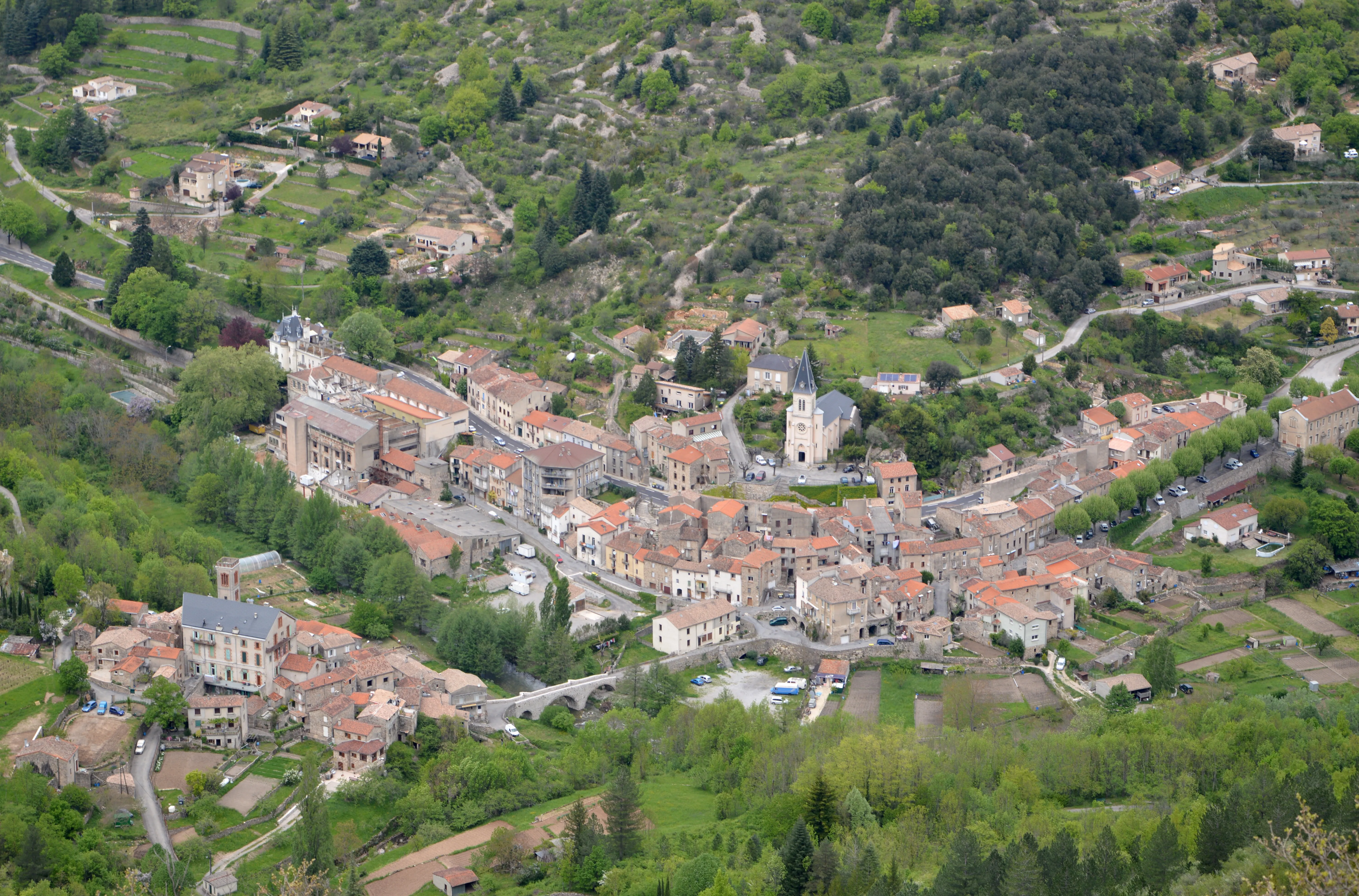
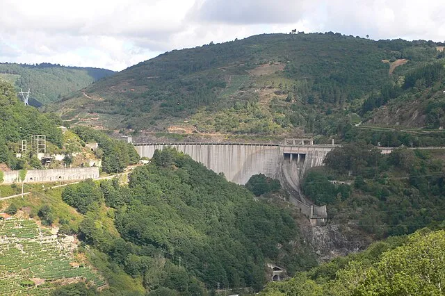
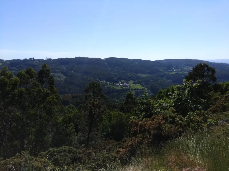
With a 267 km journey, it is the only Camino that traverses all four Galician provinces (Ourense, Lugo, Pontevedra, and A Coruña). It offers spectacular landscapes like the Sil Canyons and its heroic viticulture, allowing you to discover a natural and cultural heritage of great value, less known but equally fascinating.
Related Routes
Connections of Winter Path
The French Way
779 km
33
Media
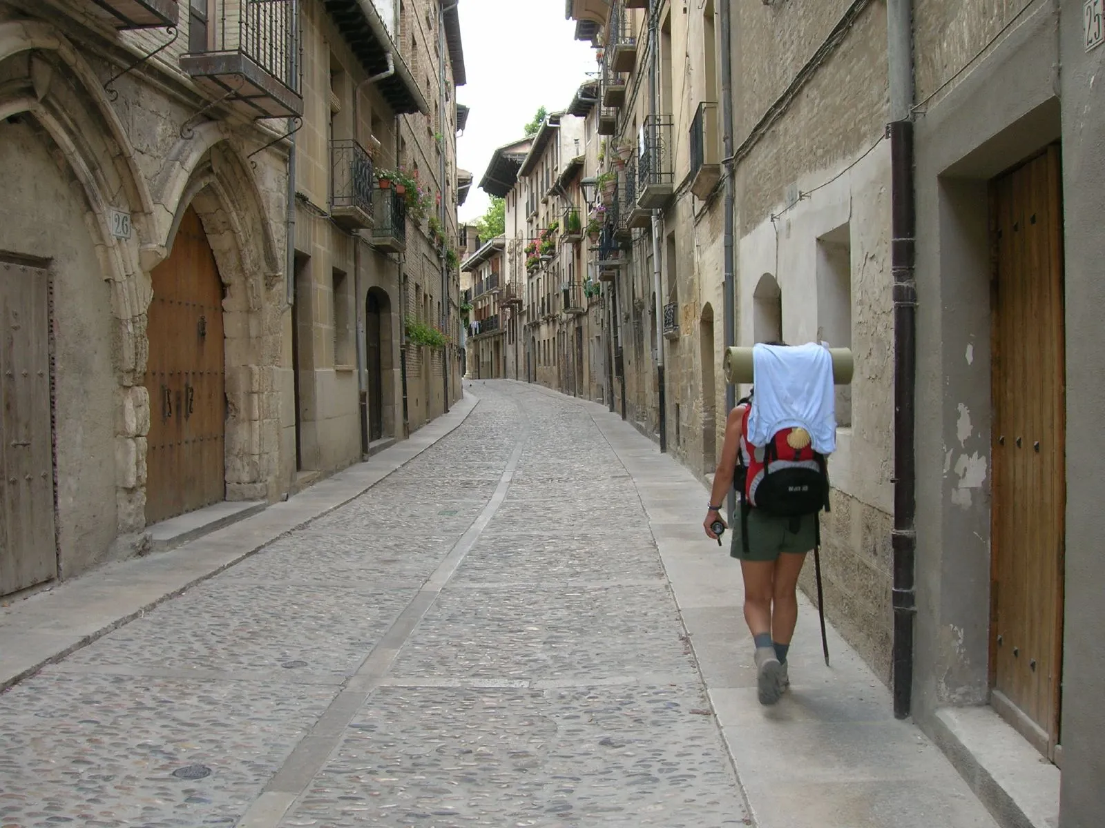
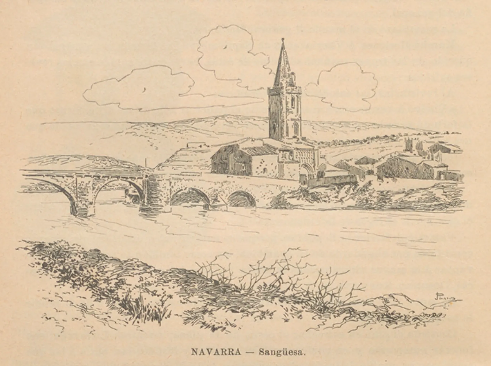
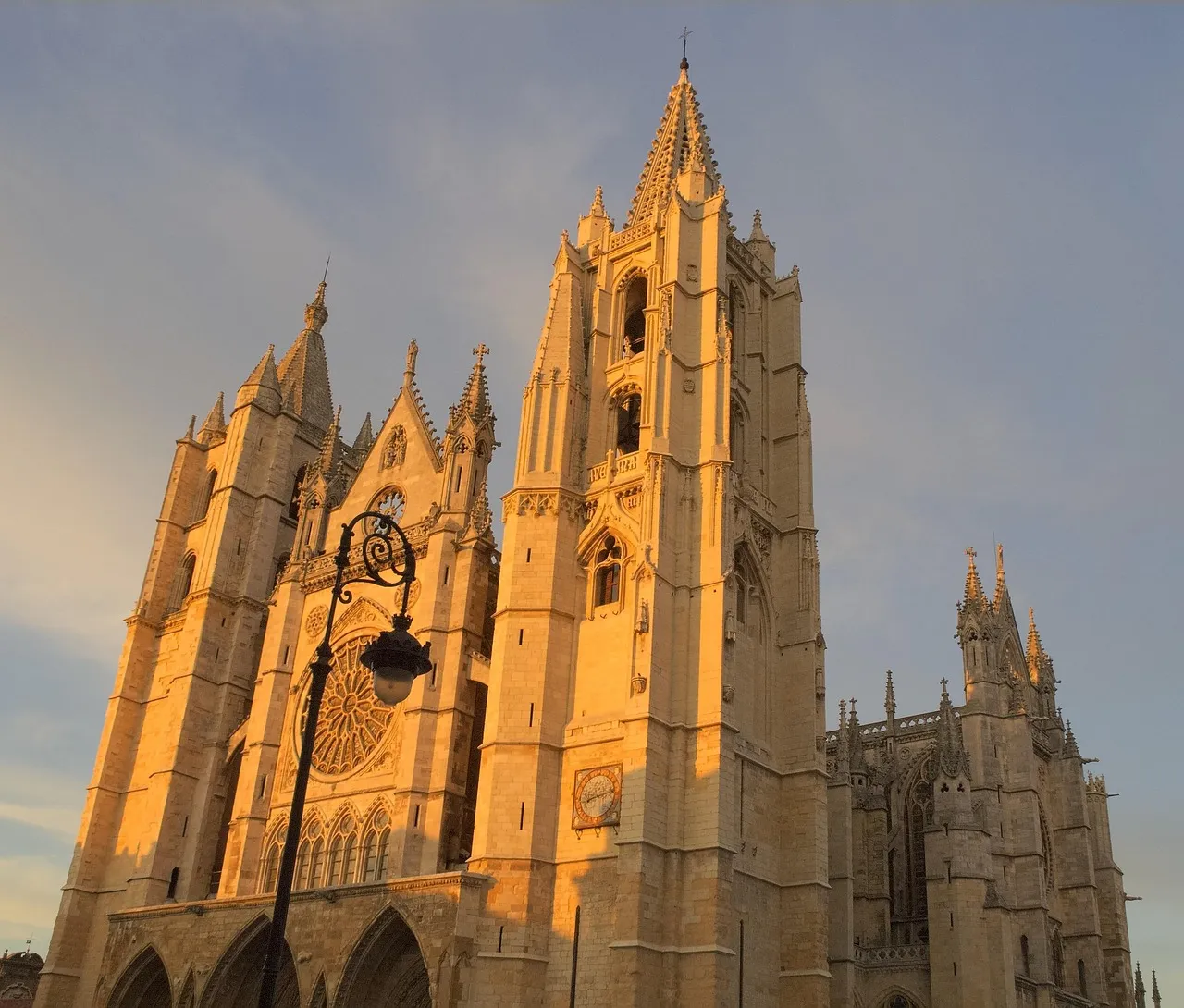
The Camino Francés is the pilgrimage route to Santiago de Compostela of excellence, chosen by thousands of pilgrims every year. With a journey of approximately 780 km from Saint-Jean-Pied-de-Port or less from Roncesvalles, it traverses northern Spain. This path, declared a World Heritage Site by UNESCO, offers exceptional infrastructure for services and hostels.
Pilgrims traverse Navarra, La Rioja, Castile and León, and finally Galicia, marveling at monumental cities such as Pamplona, Burgos, and León, and charming villages. The diversity of its landscapes is one of its greatest attractions, from the Pyrenees and the Castilian plains to the green forests of Galicia. It's a physical and spiritual journey that leaves an indelible mark, ideal for both experienced pilgrims and those starting out on the Camino de Santiago.
Stages of this variant:
Stage 1: St. Jean Pied de Port to Roncesvalles
Stage 2: Roncesvalles to Zubiri
Stage 3: Zubiri is going to Pamplona.
Stage 4: Pamplona to Pontevedra
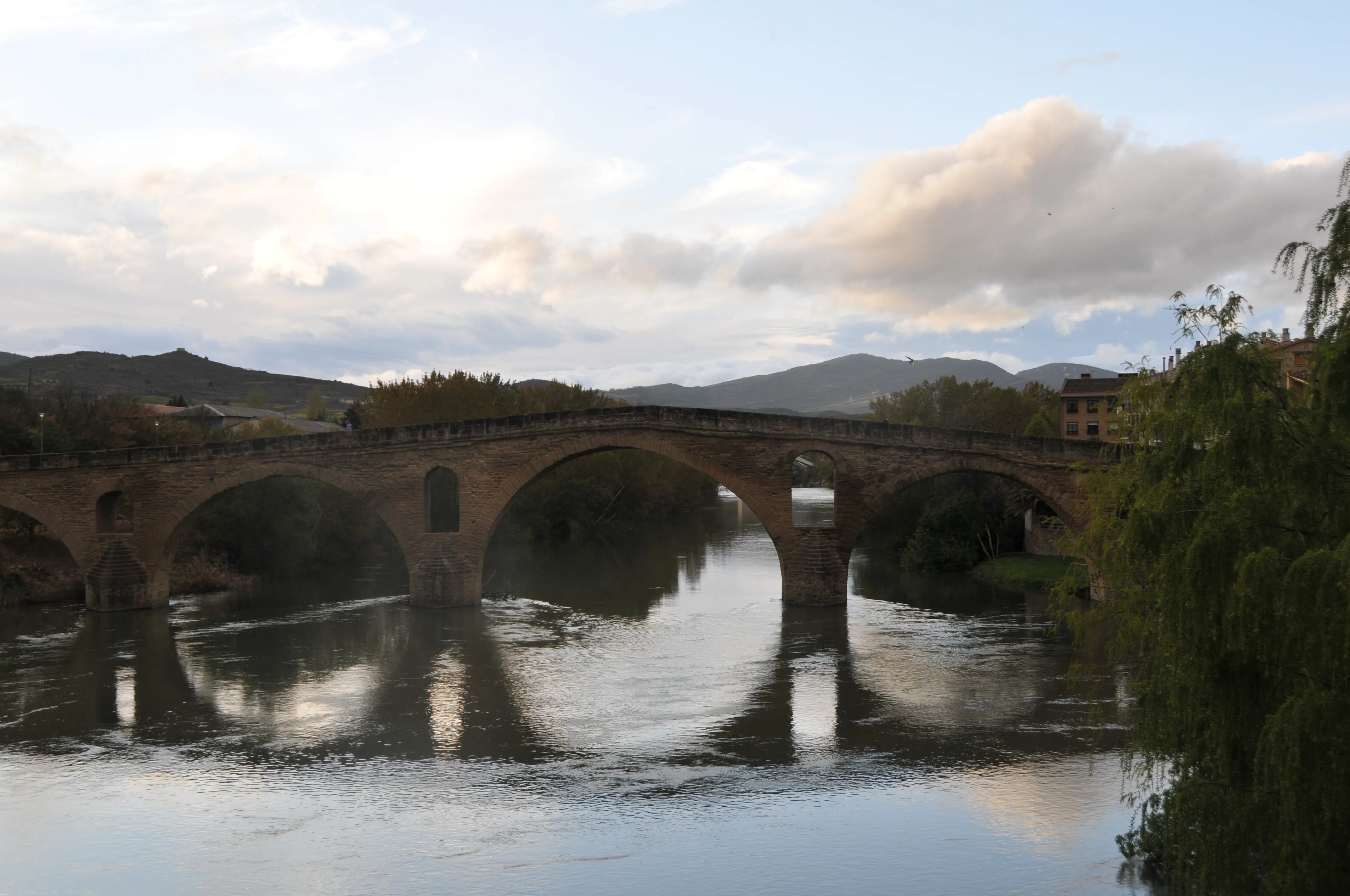
Stage 5: Bridge of Queen to Estella
The Camino by Bike
779 km
14
Media
The Camino Francés by bike offers a dynamic experience for "bicigrinos". Although the general route follows the walking trail, stages are designed to cover greater distances, condensing the journey into 14 days. This mode allows cyclists to pass through Pamplona, Burgos and León, and traverse the Pyrenees, Meseta and Galicia landscapes at a brisk pace.
Stages of this variant:
Stage 1: Saint Jean Pied de Port to Zubiri (Bike)
Stage 2: Zubiri to Puente la Reina by bike
Stage 3: Bridge of Queen to Towers of Rio (Bicycle)
Stage 4: Logroño - Santo Domingo de la Calzada by bike
Stage 5: Santiago de Compostela - Santiago de Compostela (by bike)

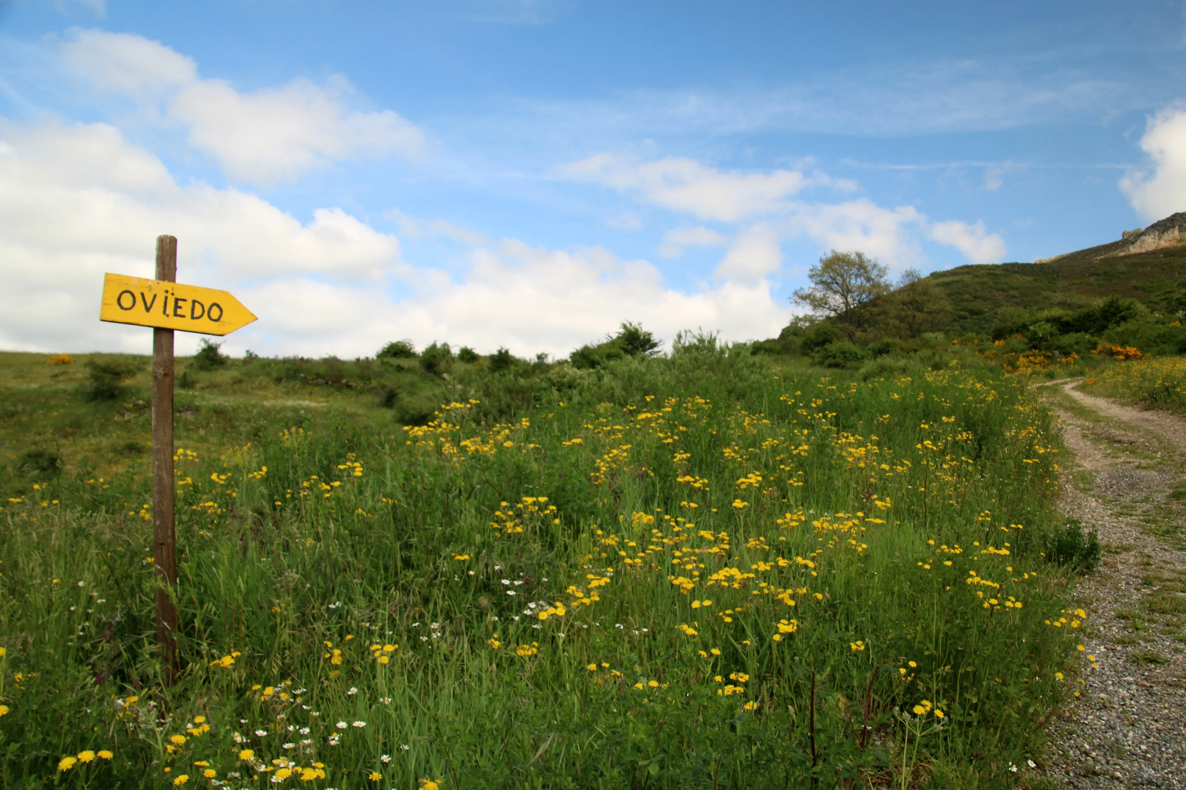
Way of the Asturias
465 km
22
High
The Camino of Asturias is a historical itinerary that connects the French Way in Pamplona with the Primitive Way in Oviedo. This route, of great scenic beauty and notable physical demand, traverses the mountains of Navarre, Álava, Cantabria, and Asturias. It offers a deep immersion in nature and the heritage of interior Spain, with mountain landscapes, valleys, and villages with history.
Stages of this variant:
Stage 1: Pamplona to Irurzun
Stage 2: Irun to Alsausa
Stage 3: Asunción a Salta
Stage 4: Salvaterra to Vitoria
Stage 5: Victory over La Puebla of Arganzón
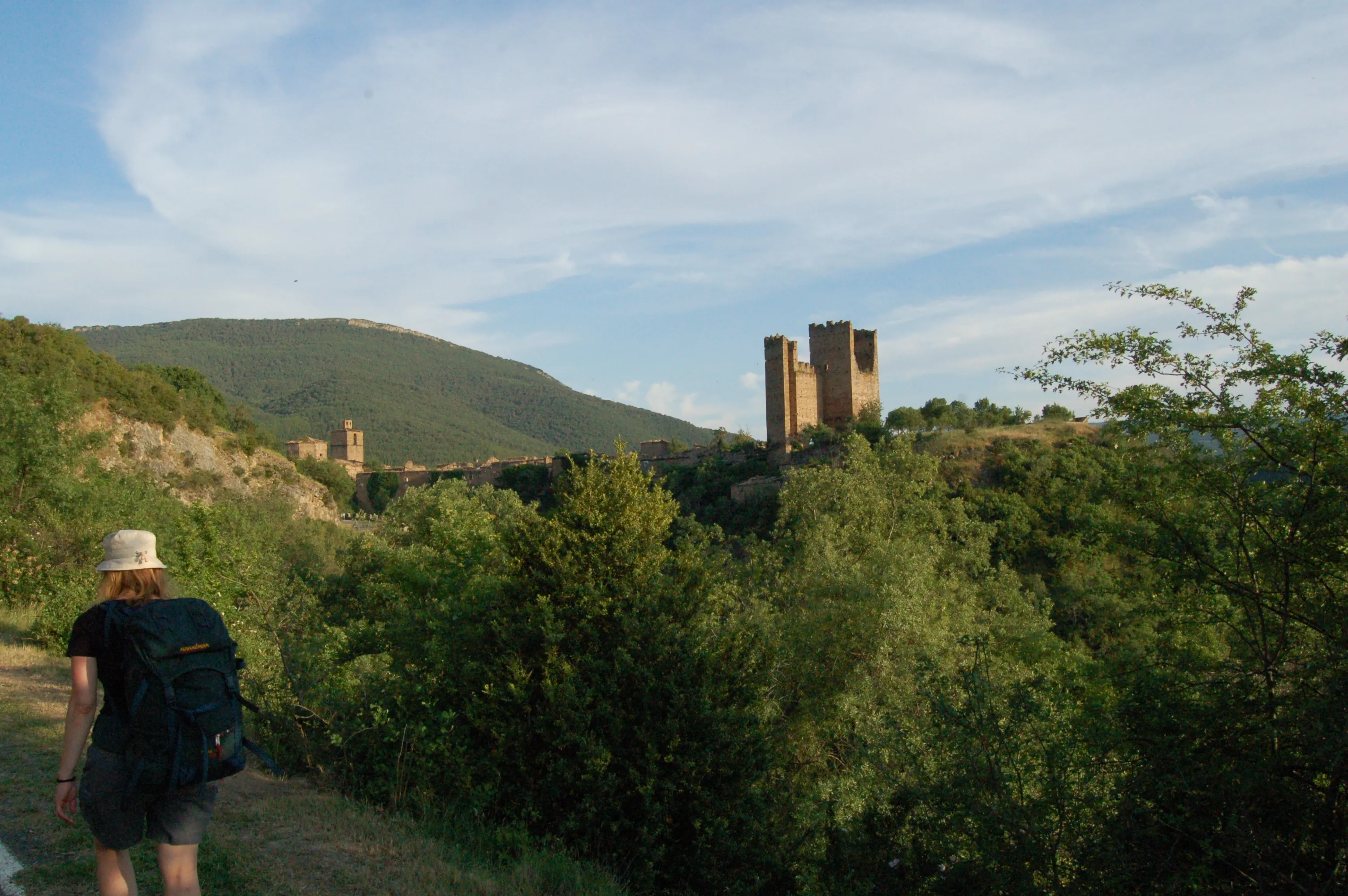
Aragonese Way
165.6 km
6
Media
The Aragonese Way is one of the historical entry routes to the French Way on the Iberian Peninsula. From the Somport Pass, it covers 166 km through beautiful Pirenne landscapes, passing by landmarks such as Jaca and its Romanesque cathedral, the Monastery of San Juan de la Peña or the hermitage of Santa María de Eunate. In Puente la Reina (Navarra), it joins the Way that comes from Roncesvalles.
It is a route with an immense Romanesque patrimony and less pilgrim traffic, which offers a more intimate and authentic experience.
Stages of this variant:
Stage 1: Port of Jaca
Stage 2: Jaca to Arrés
Stage 3: Arrés to Ruesta
Stage 4: To Sue
Stage 5: Song of Monreal
Way of Salvador
119.4 km
6
High
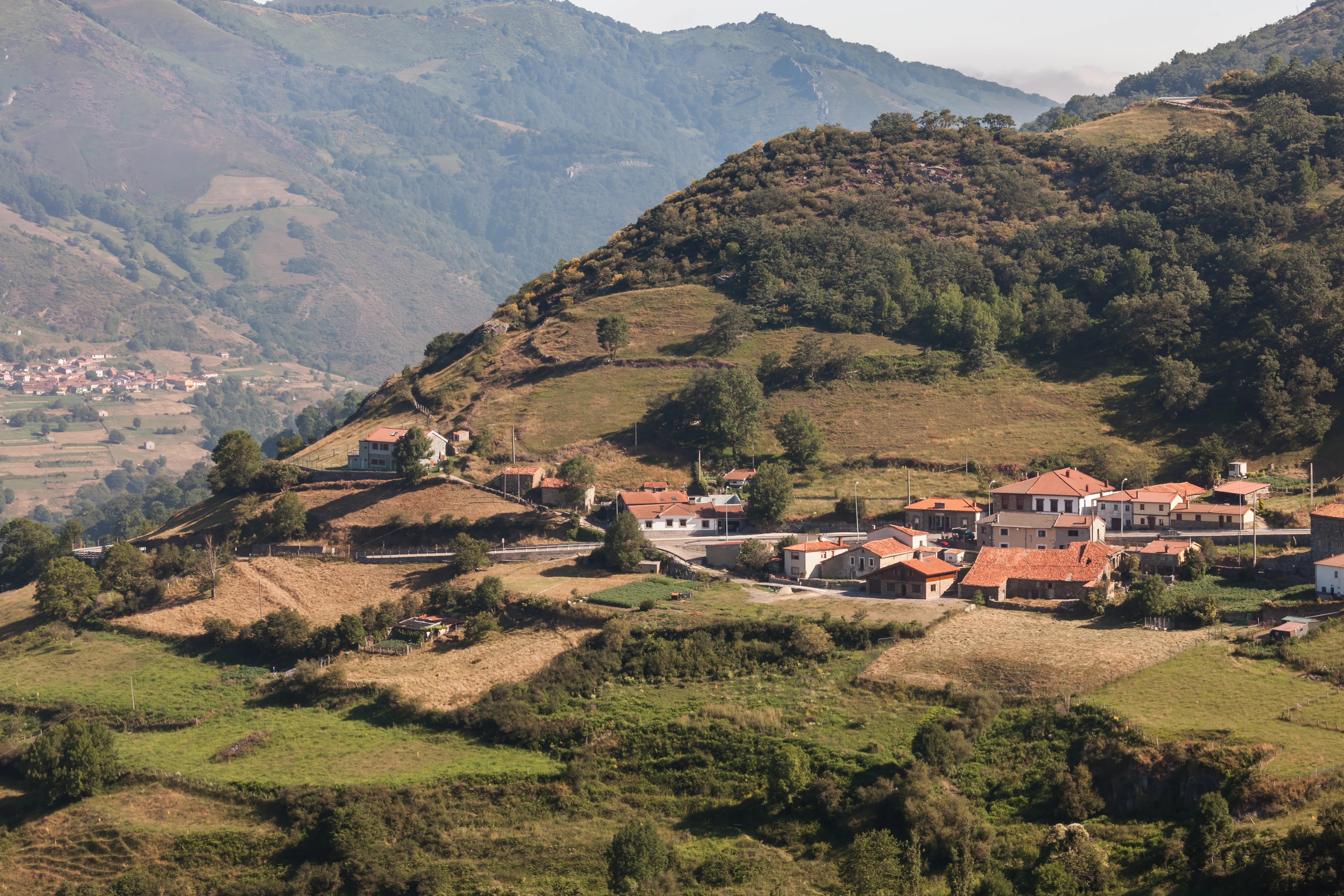
The Way of Salvador, or the Way of St. Salvador, is a historic 120 km route that connects León to Oviedo, allowing pilgrims on the French Way to connect with the start of the Primitive Way. It crosses the Cantabrian Mountains, which implies considerable physical challenge but offers spectacular mountain landscapes.
Its motto "Who goes to Santiago and does not go to Salvador, visits the servant and not the Lord" reflects the historical importance of Oviedo Cathedral and its relics. It is a short but intense route, ideal for pilgrims with good physical preparation who seek to add a mountain component and deep historical connection to their pilgrimage.
Stages of this variant:
Stage 1: Leon at La Robla
Stage 2: Robla to Poladura of the Third
Stage 3: Adhesion of Third to Pajares
Stage 4: Hair to Pola de Lena
Stage 5: Pola de Lena to Mieres
Elevation Profile of
Elevation Profile of Winter Path
Visualize the ups and downs of the route.
Loading elevation profile...
Error loading elevation profile or altitude data not available.
Your trip with Ourway
Everything you need for your Camino
No hassle. Your perfect route, from start to finish.
Accommodation
Selected hotels and hostels at every stage
Luggage transfer
Your backpack travels from stage to stage
Camino Guide
Detailed map with directions and services
24h Support
Team available for any unforeseen event
Pilgrim credential
Official documentation included
No commitment
Free personalized consultation
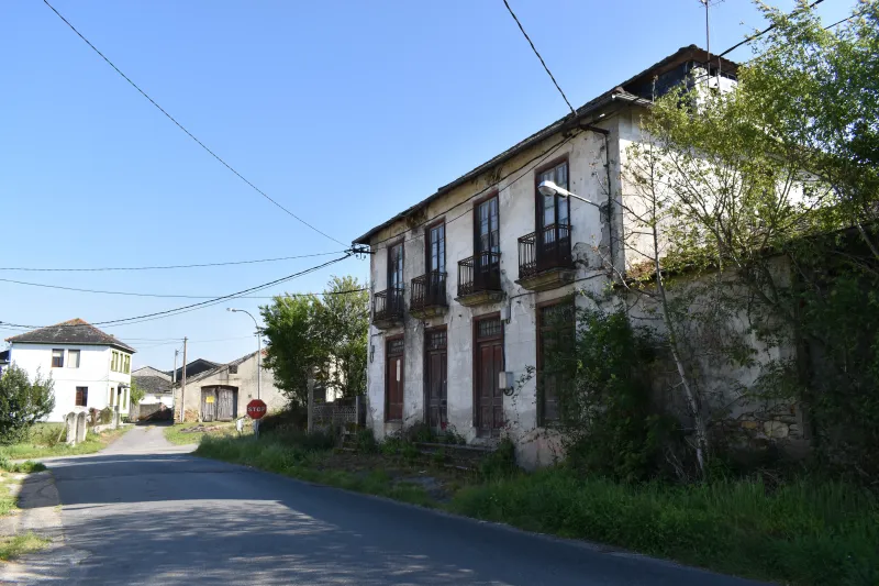
Stages
Stages of Winter Path
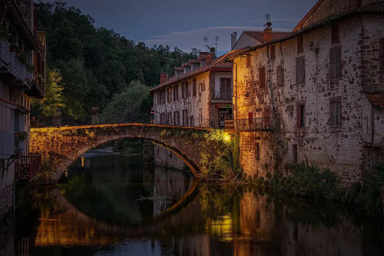
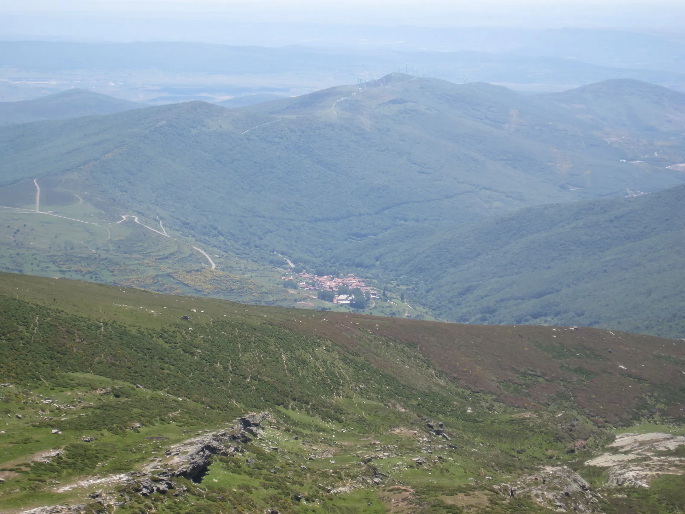
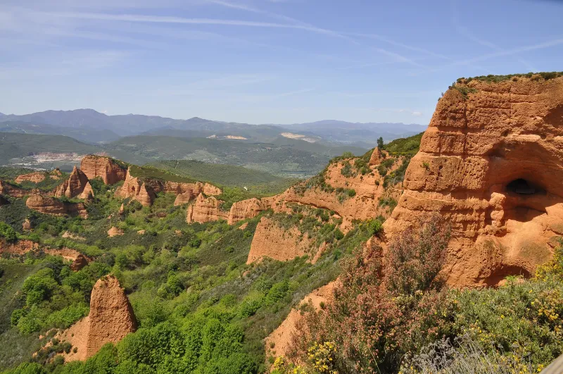
Ponferrada → Las Médulas
At this stage of the Winter Way, the pilgrim diverges from the French Way to follow the course of the Sil River. The route is of exceptional beauty, traversing the narrow valley of Sil with its vineya...
Las Médulas → O Barco de Valdeorras
Continuing on the Winter Way, this stage enters the spectacular Ribeira Sacra lucerne region. The path leaves the Sil valley to ascend gently, offering increasingly impressive panoramic views. The pro...
O Barco de Valdeorras → A Rúa de Valdeorras
Stage of the Camino de Invierno, historical route that avoids the hard passage of O Cebreiro following the valley of the Sil. The route through the region of Valdeorras (D.O. Valdeorras) runs through ...
A Rúa de Valdeorras → Quiroga
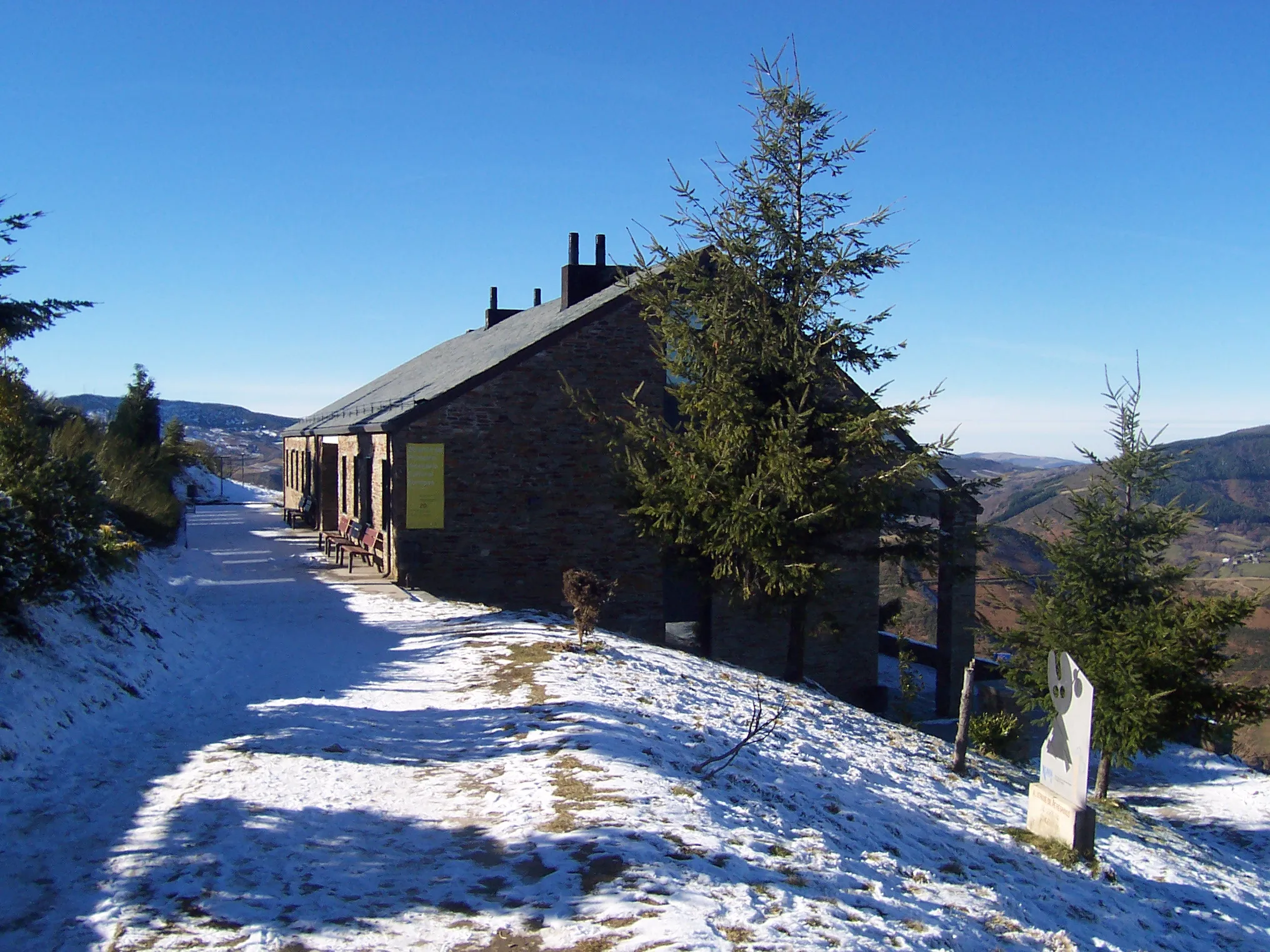
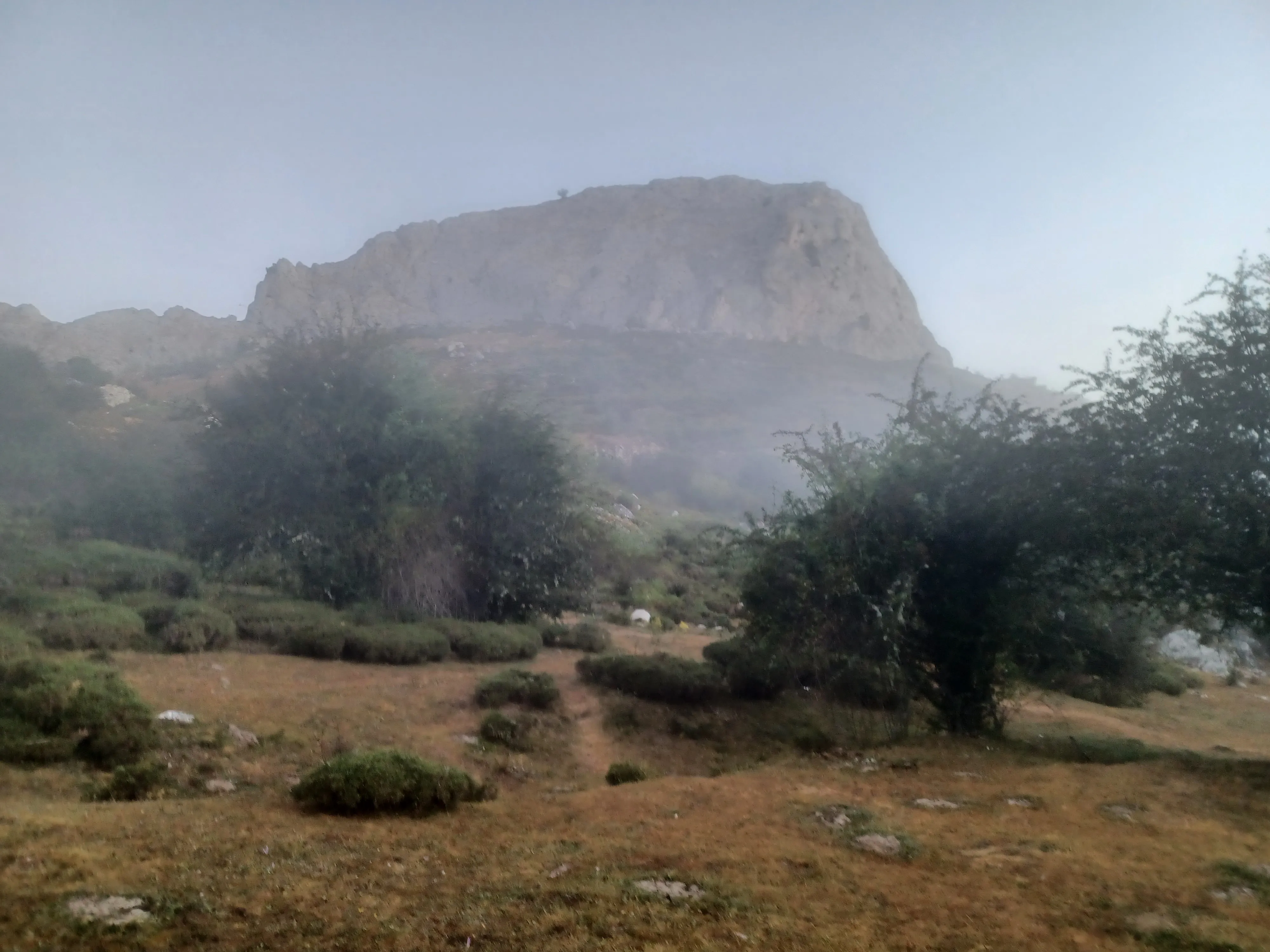
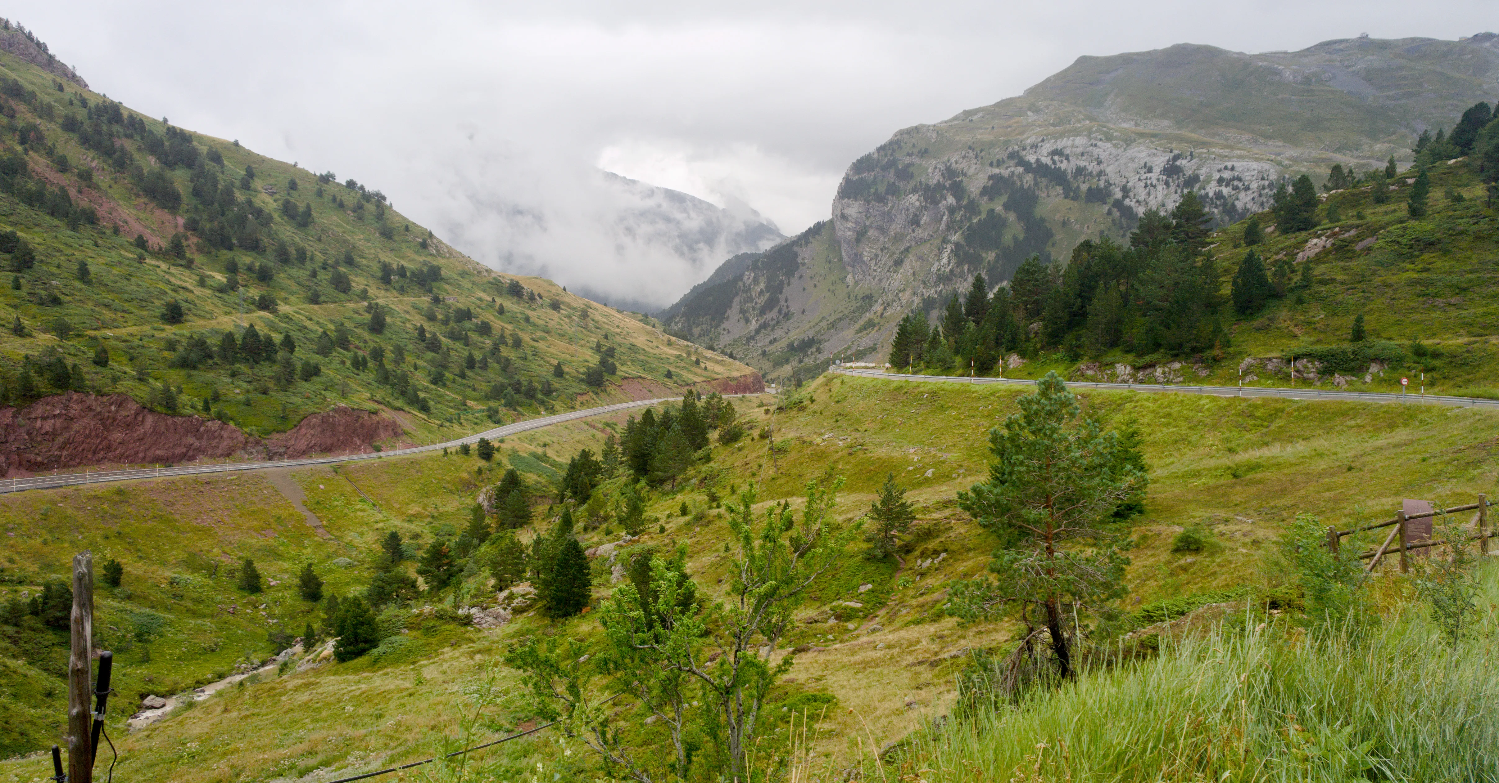
One of the most demanding and beautiful stages on the Winter Camino. The journey involves a long and sustained ascent to leave Quiroga valley and overcome Serra do Courel. The path runs through an imp...
Quiroga → A Pobra do Brollón
This 22.9 km long stage of the Winter Camino is one of the most demanding on the route. The profile is of high difficulty, with a long ascent leading to the Sierra do Courel. Along the way, you pass t...
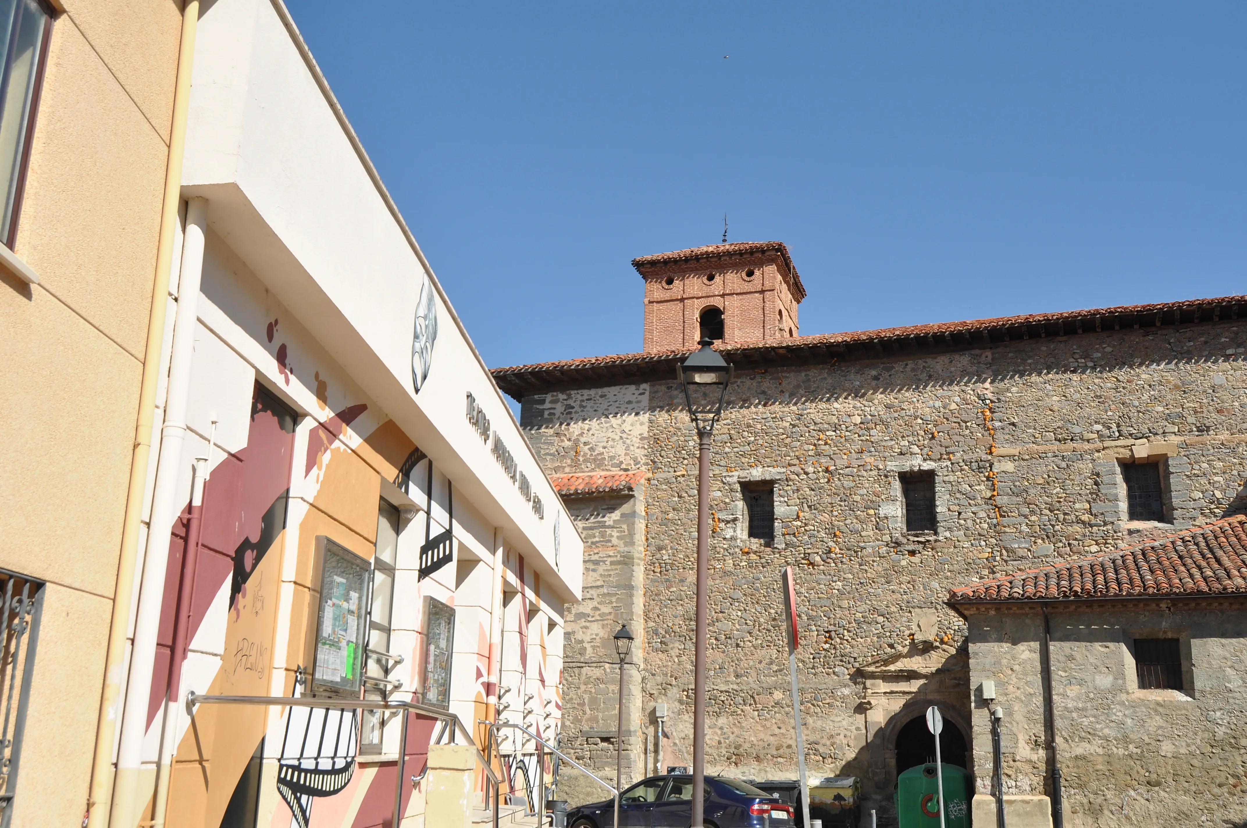
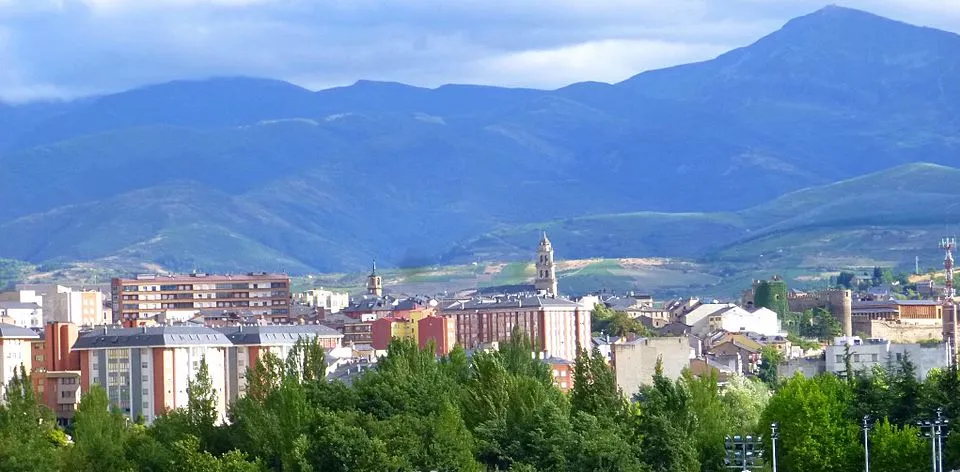
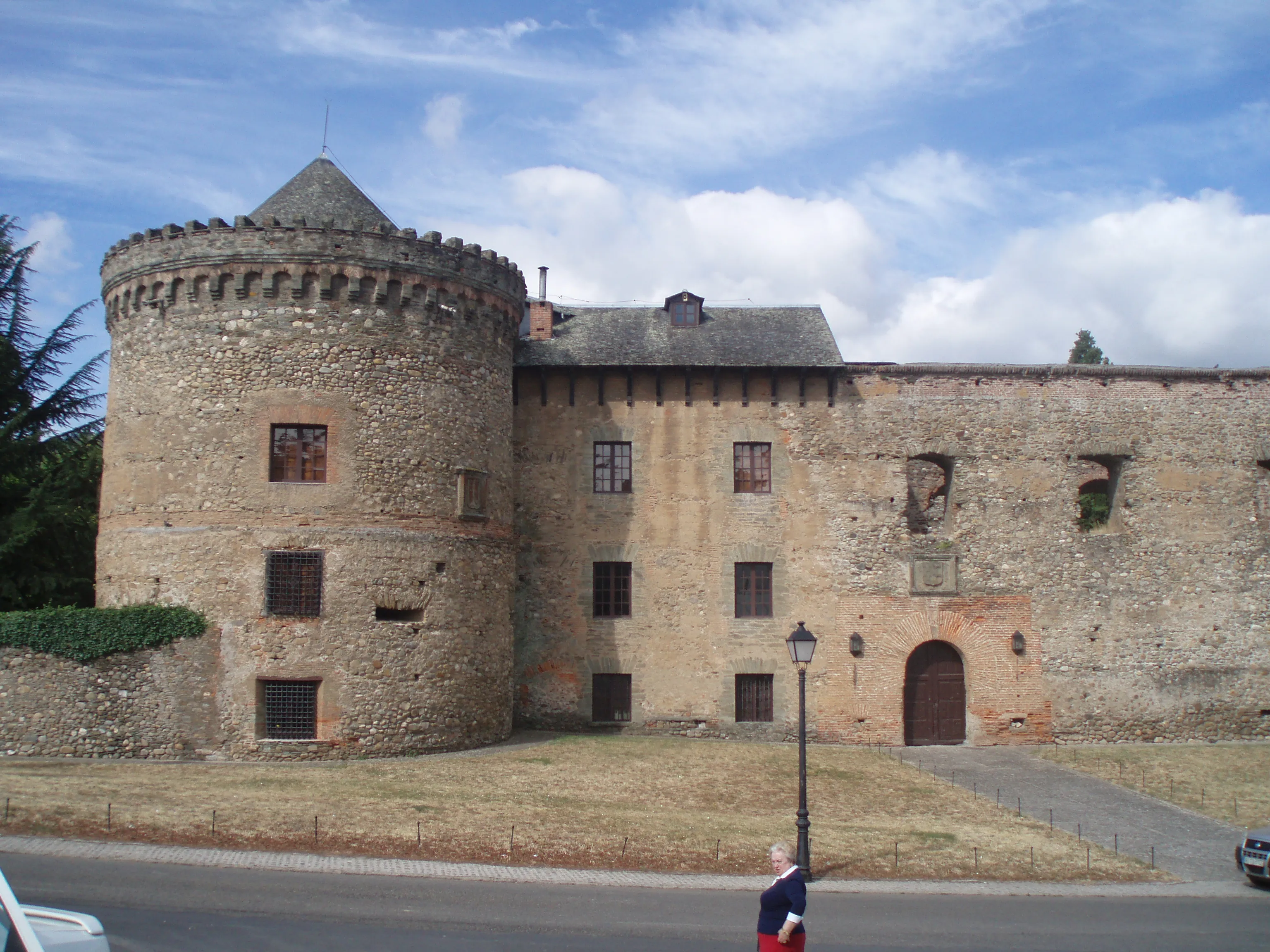
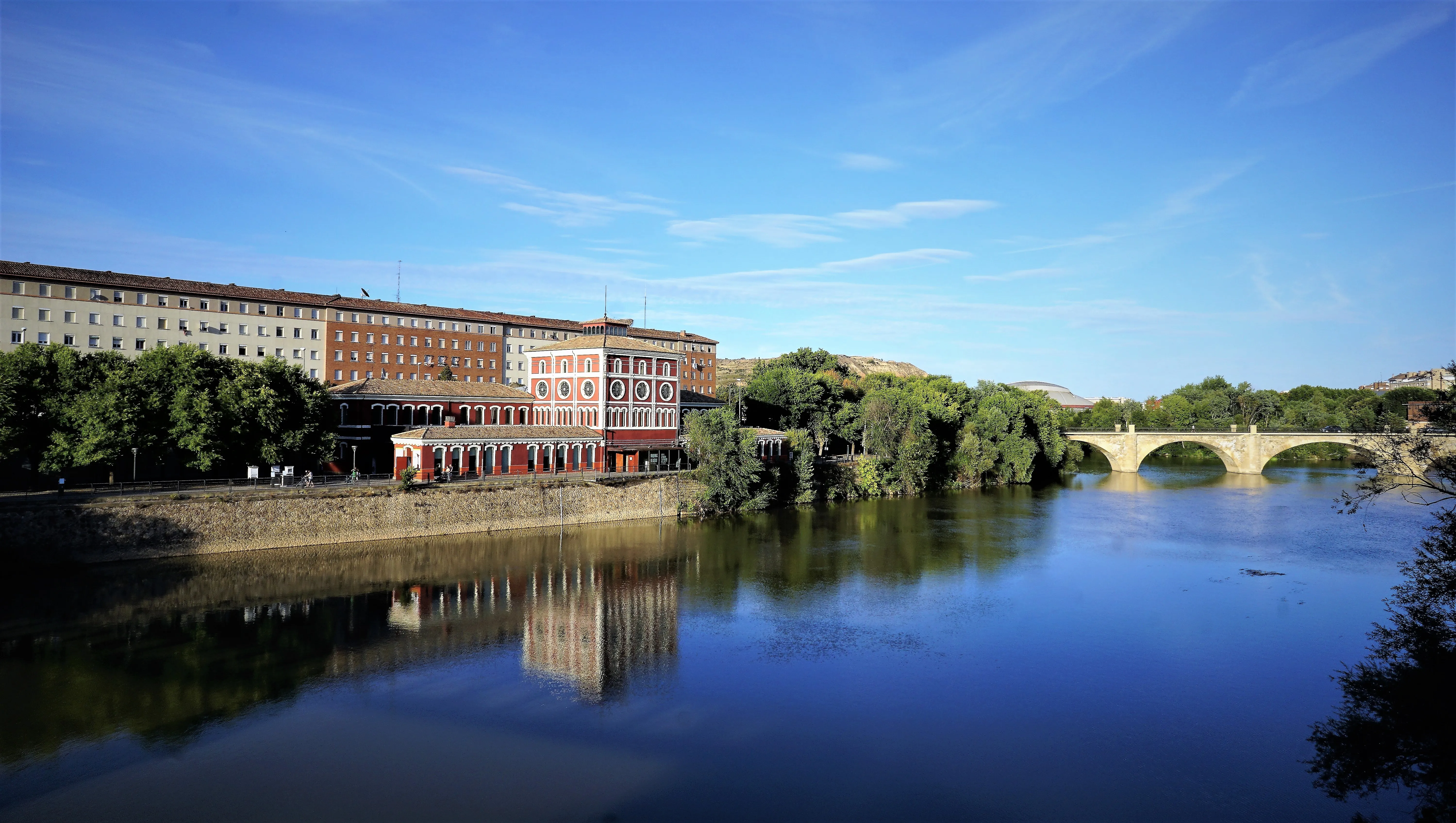
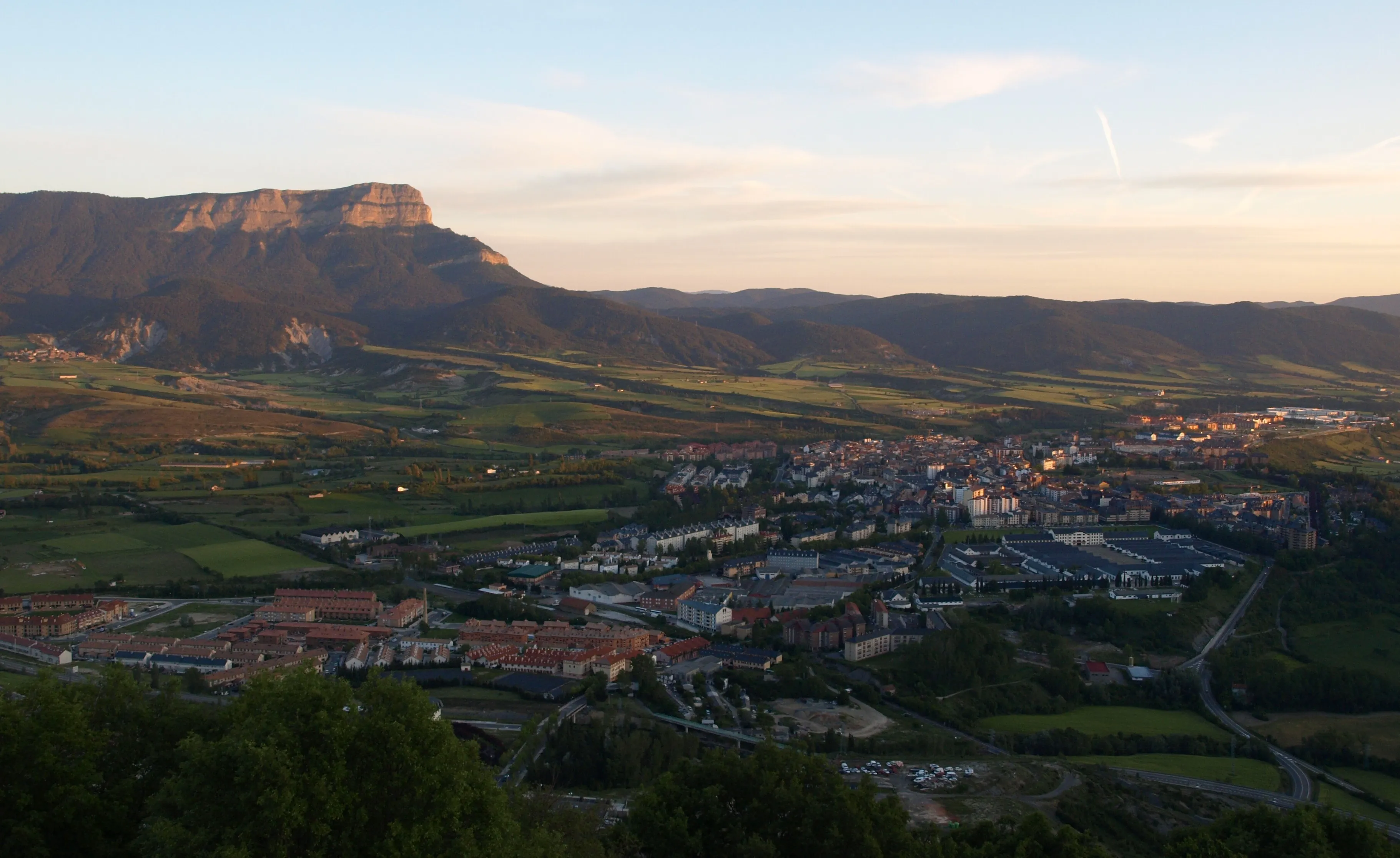
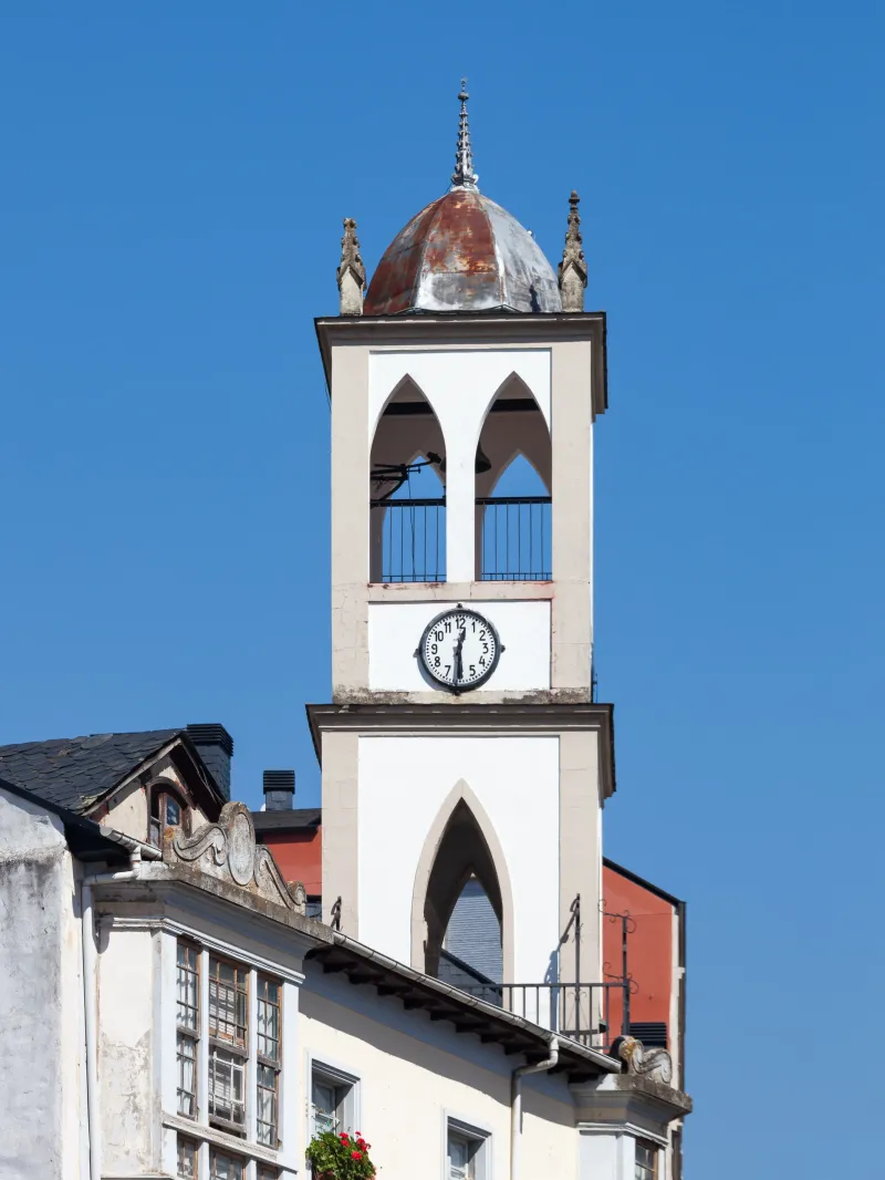
A Pobra do Brollón → Monforte de Lemos
A brief and relatively comfortable stage that descends from A Pobra do Brollón to the Cabe River valley, with a final ascending section to the monumental city of Monforte de Lemos. It offers a peacefu...
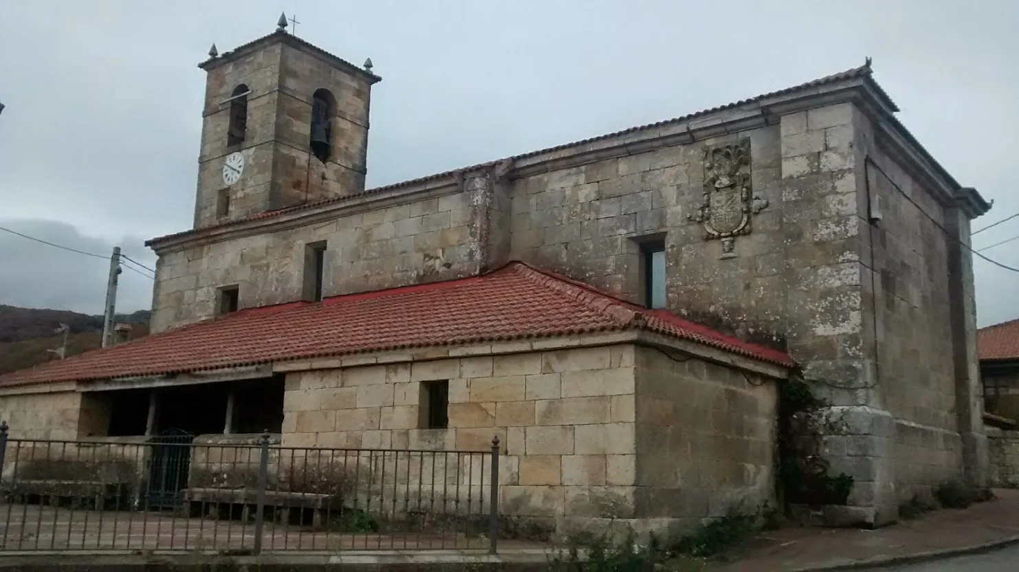
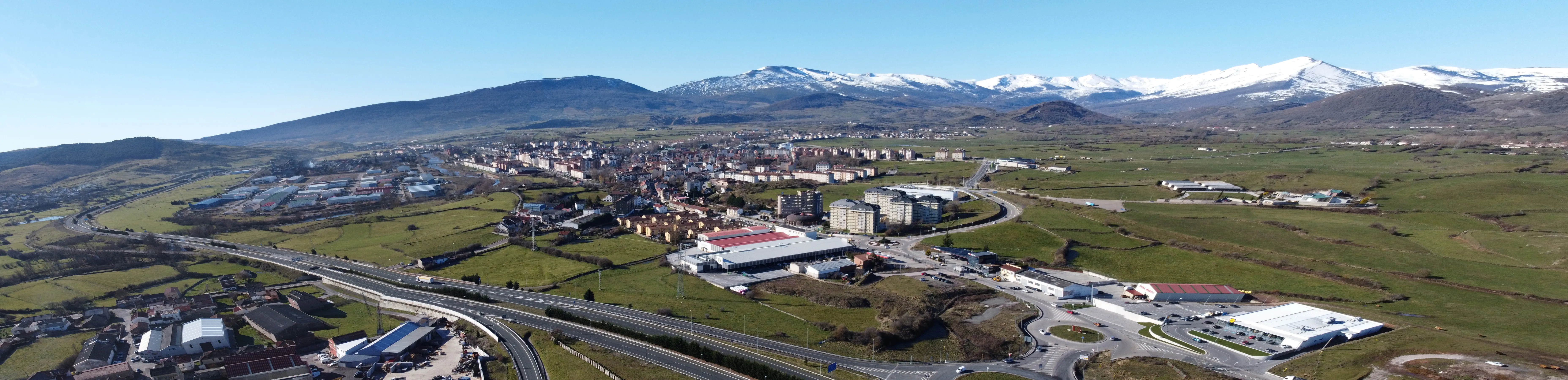
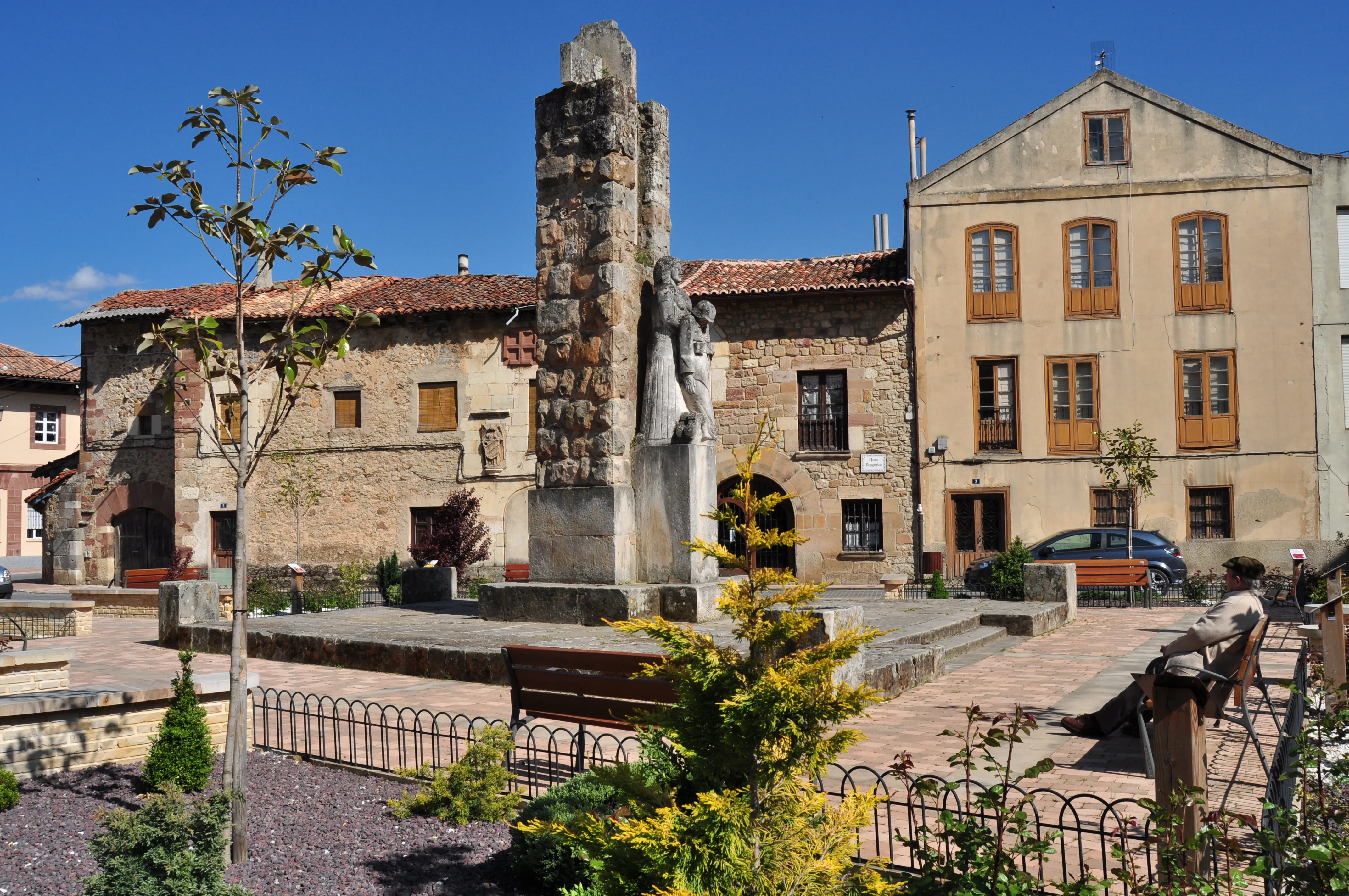
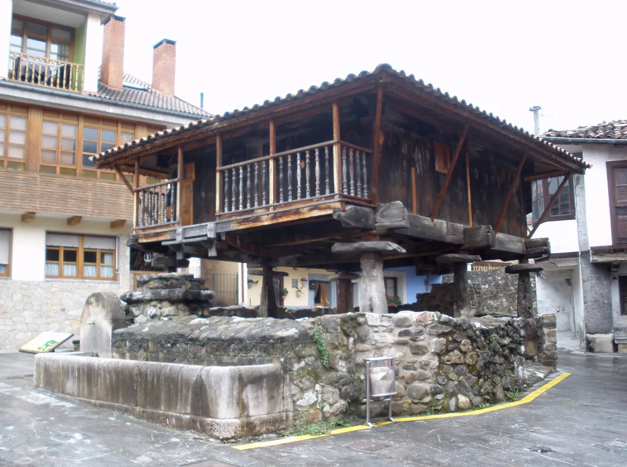
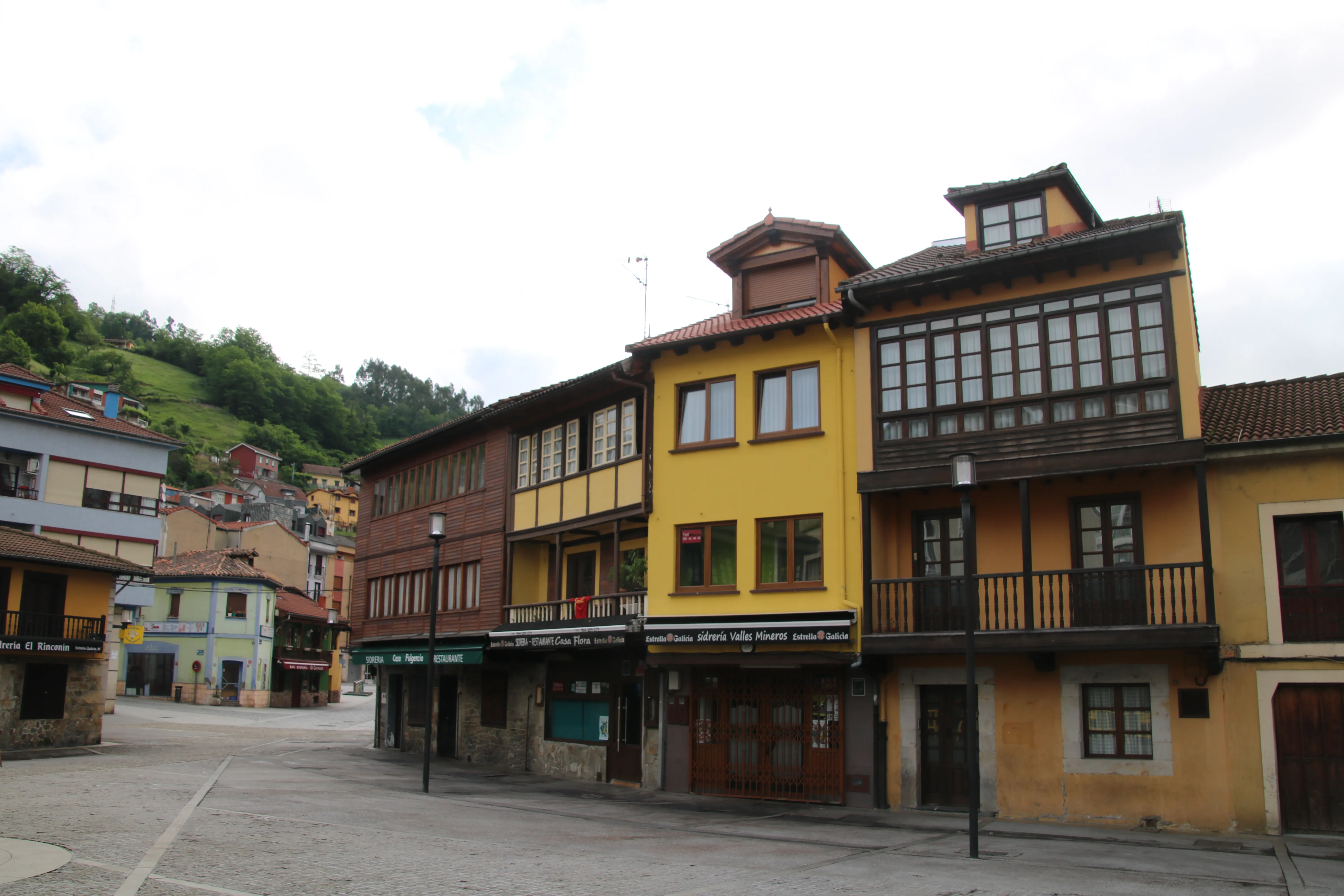
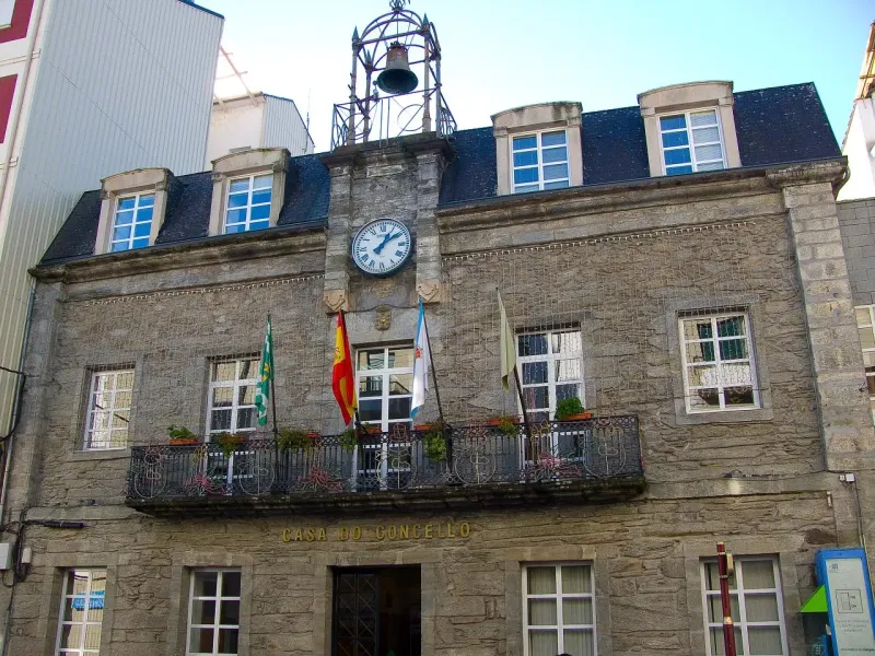
Towns
Featured Towns of Winter Path
Explore the key towns and cities of this route.


History
Millenary History of the Camino de Santiago: Origins and Evolution Winter Path
Discover the origins and evolution of Winter Path
During the Middle Ages, the section of the Camino Francés that ascends from Villafranca del Bierzo to the high of O Cebreiro (1,300 meters) became an impassable barrier during long winter periods. The intense snows, ice, and gales not only made the path extremely dangerous but also often closed it completely, leaving pilgrims stranded. In response to this reality, folk wisdom and the experience of travelers gave shape to a natural detour. In Ponferrada, instead of continuing towards Villafranca, pilgrims turned westwards to follow the course of the River Sil, a geographical corridor that offered a lower altitude passage protected from the harsh climate.
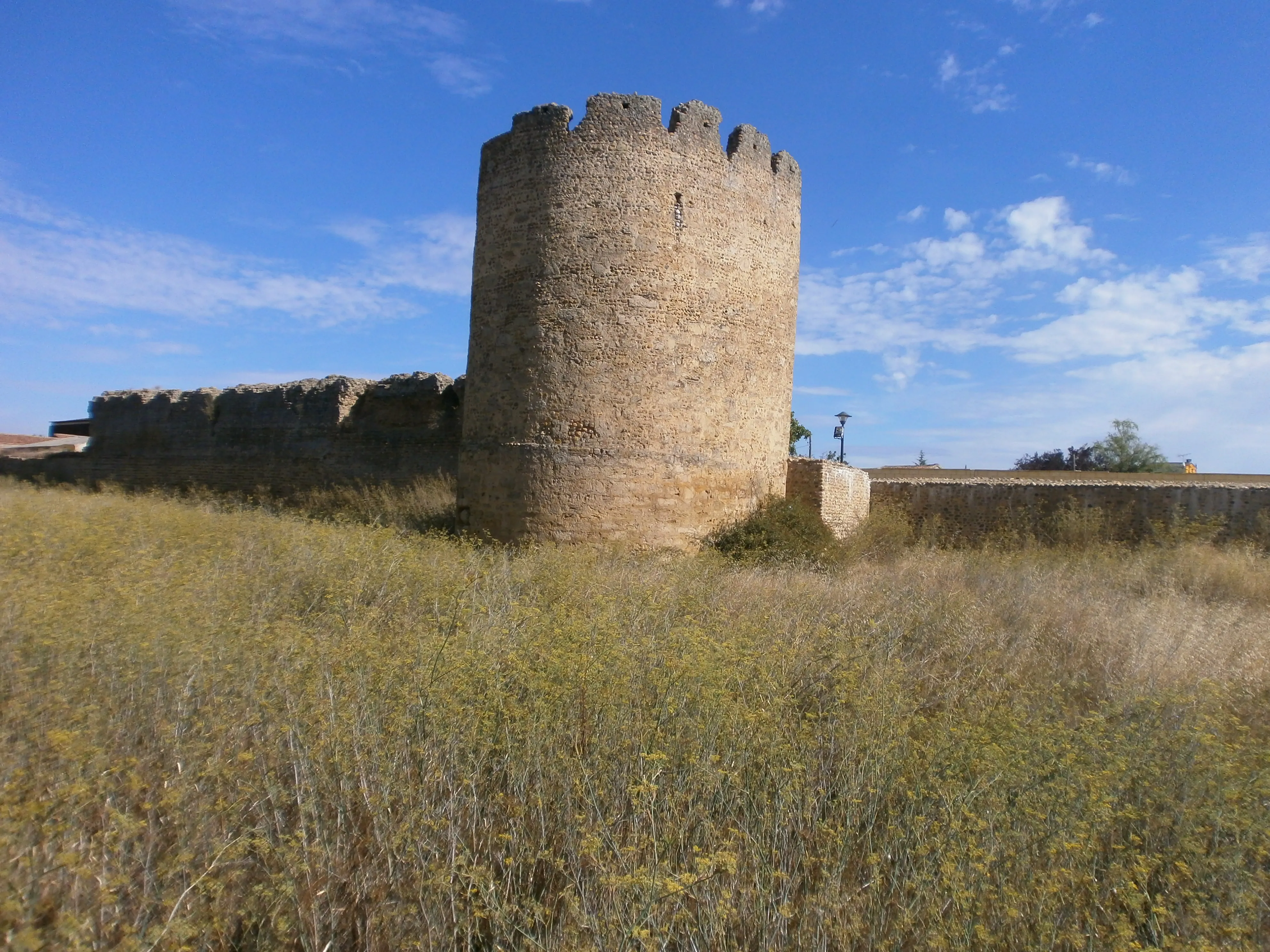
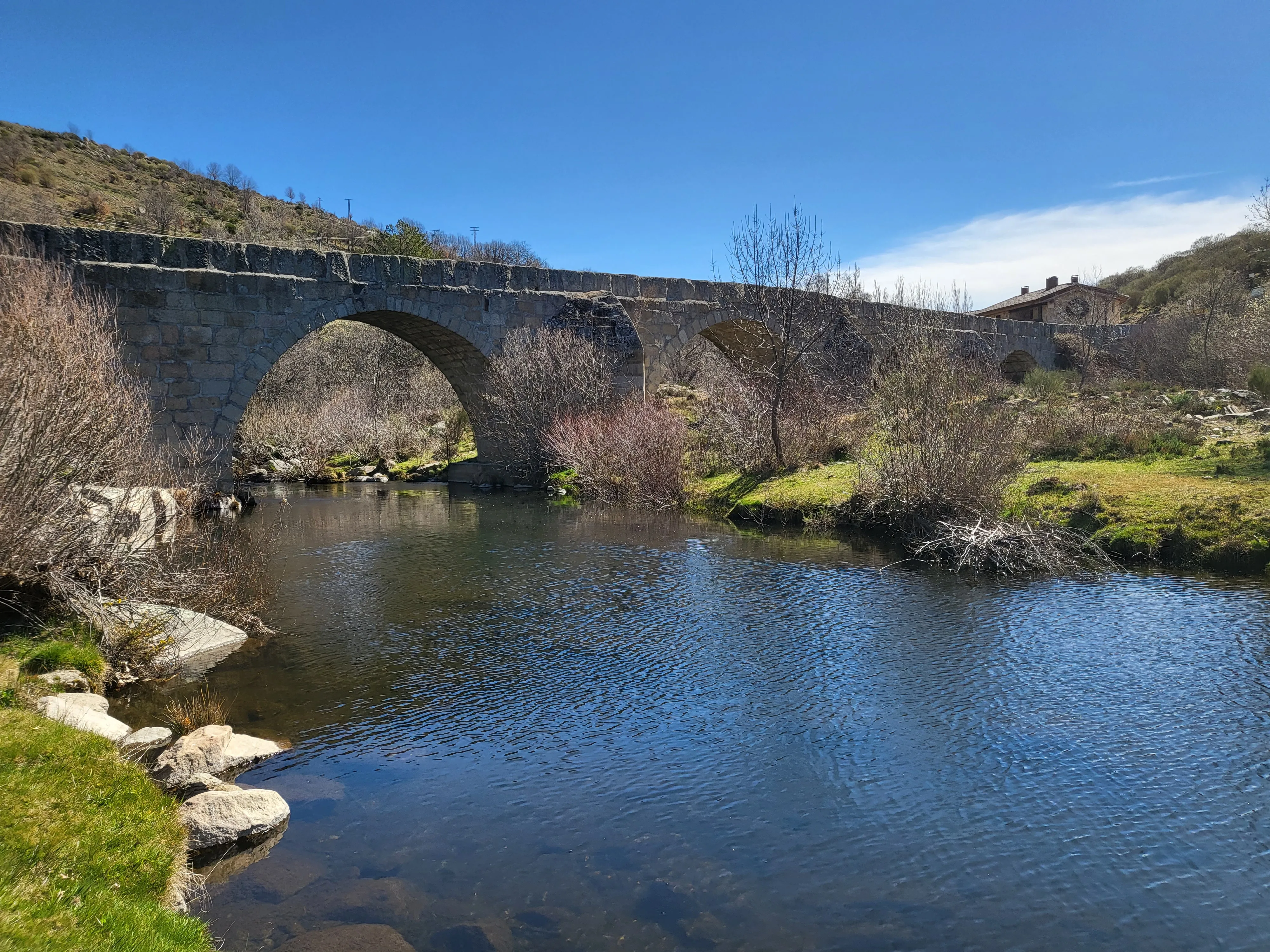
This route was not an accidental invention but rather made use of existing pre-existing communication routes. Its path followed secondary Roman roads that connected important gold mines at Las Médulas with the rest of Gallaecia. This Roman past endowed the route with basic infrastructure such as bridges and roads, facilitating its use by pilgrims. The road entered Galicia through the Valdeorras region, always following the banks of the Sil River, which became the backbone of the route.
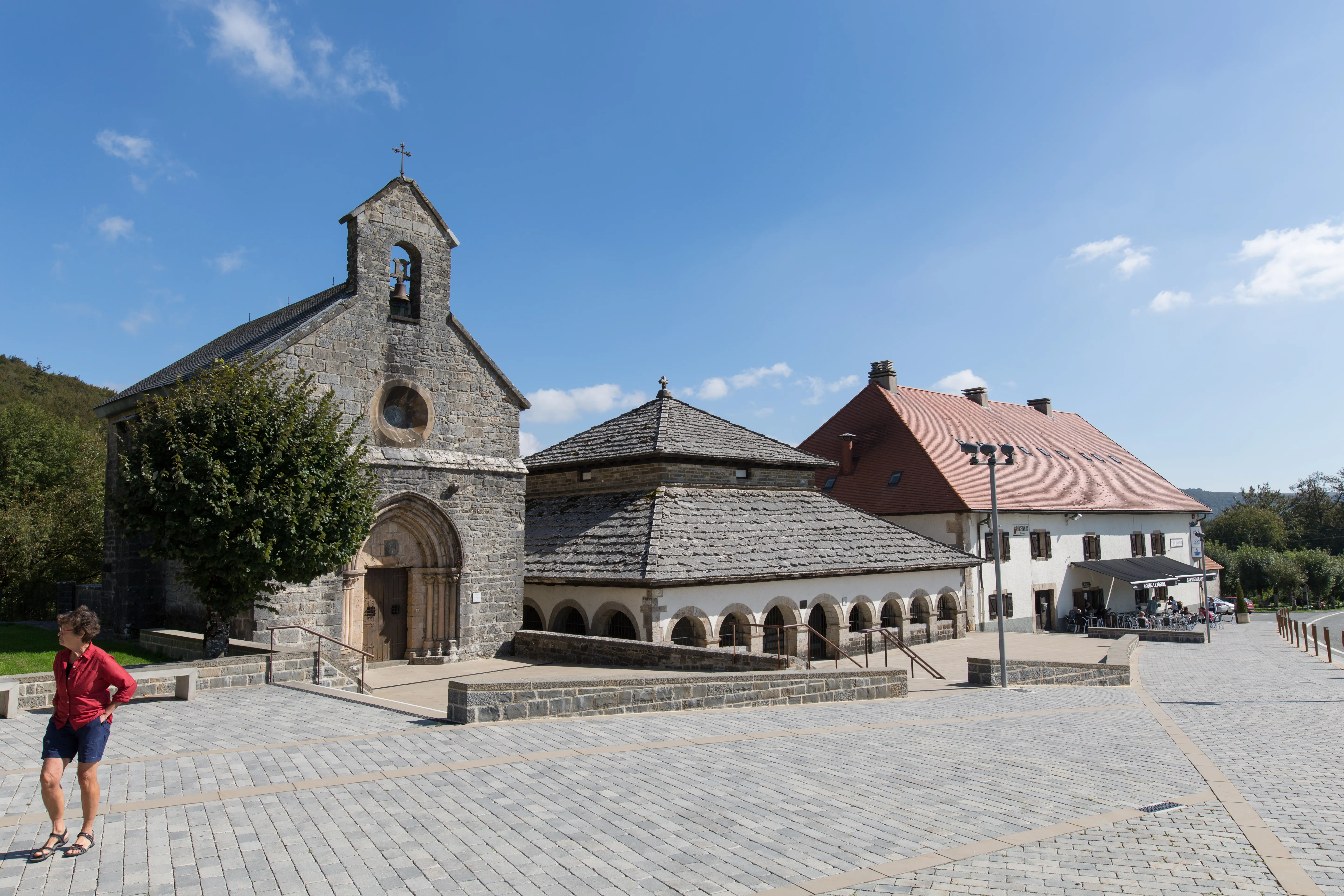
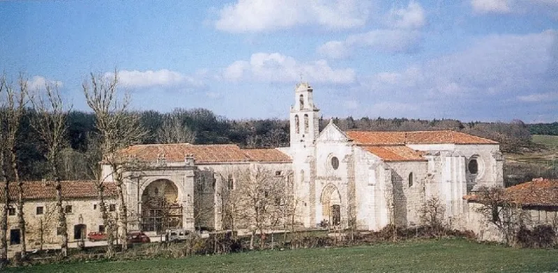
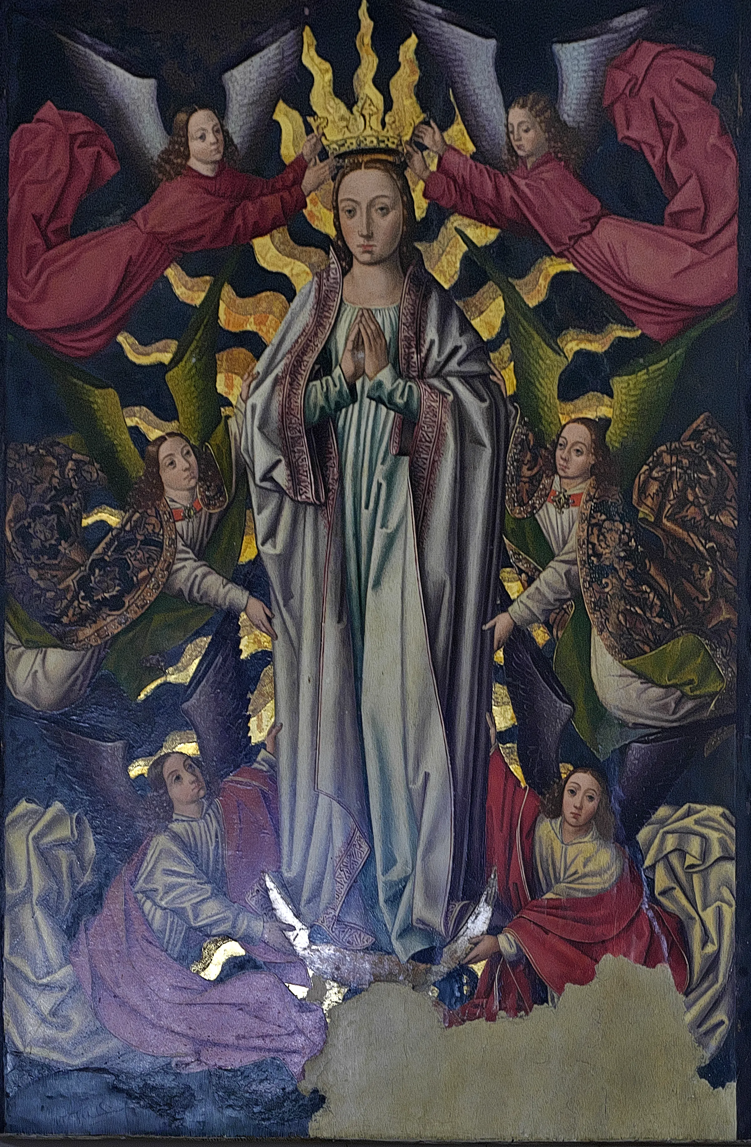
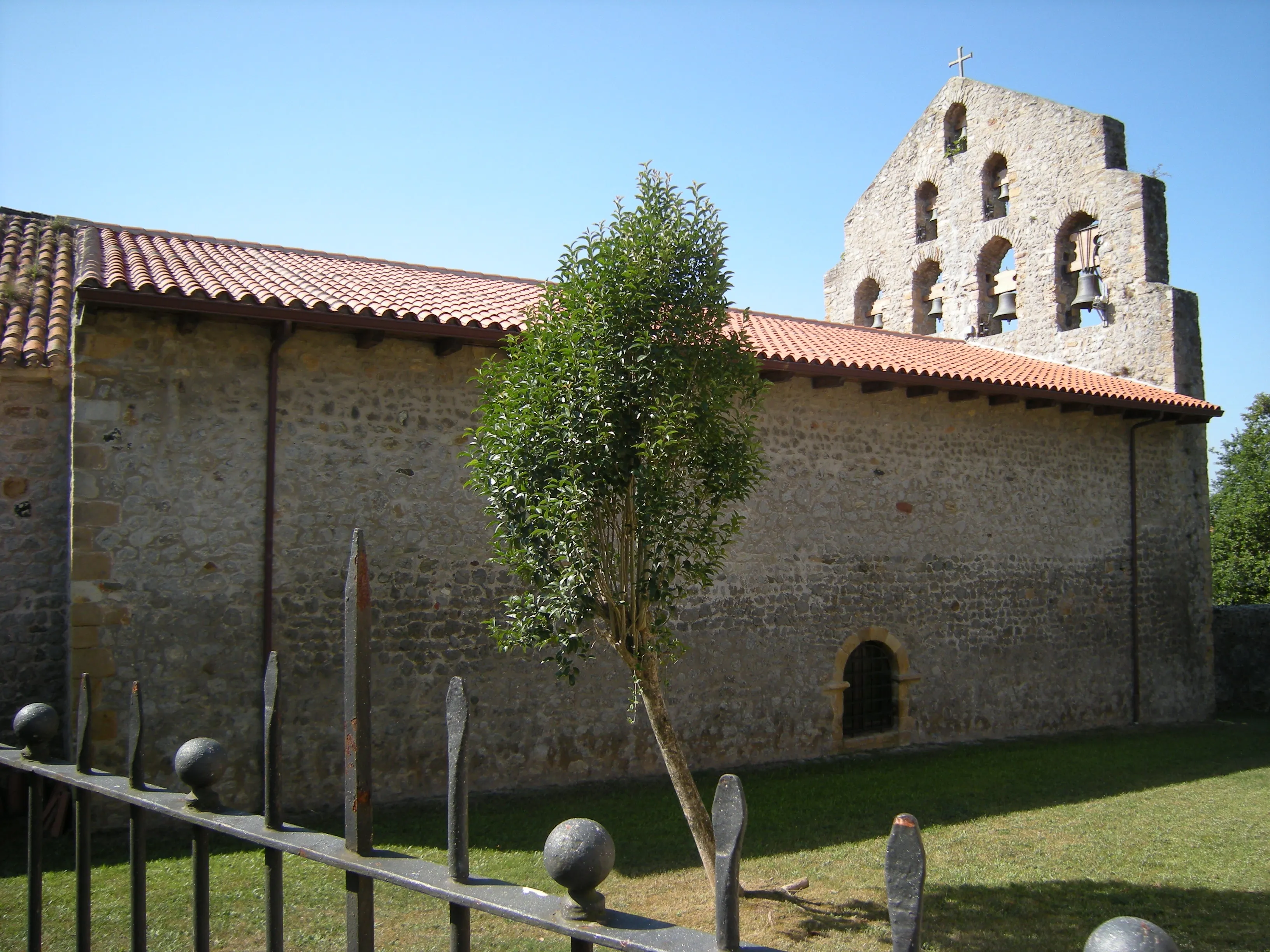
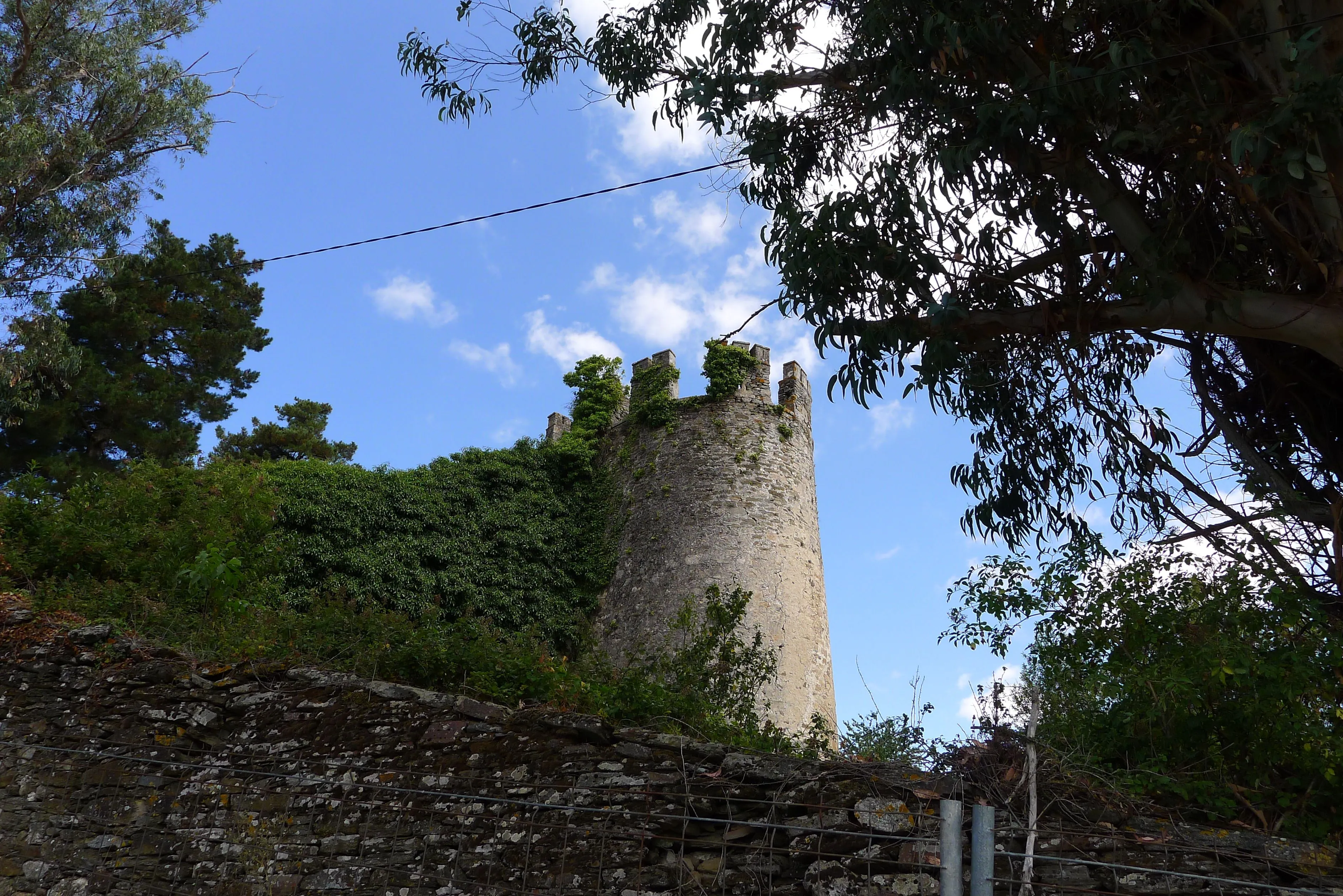
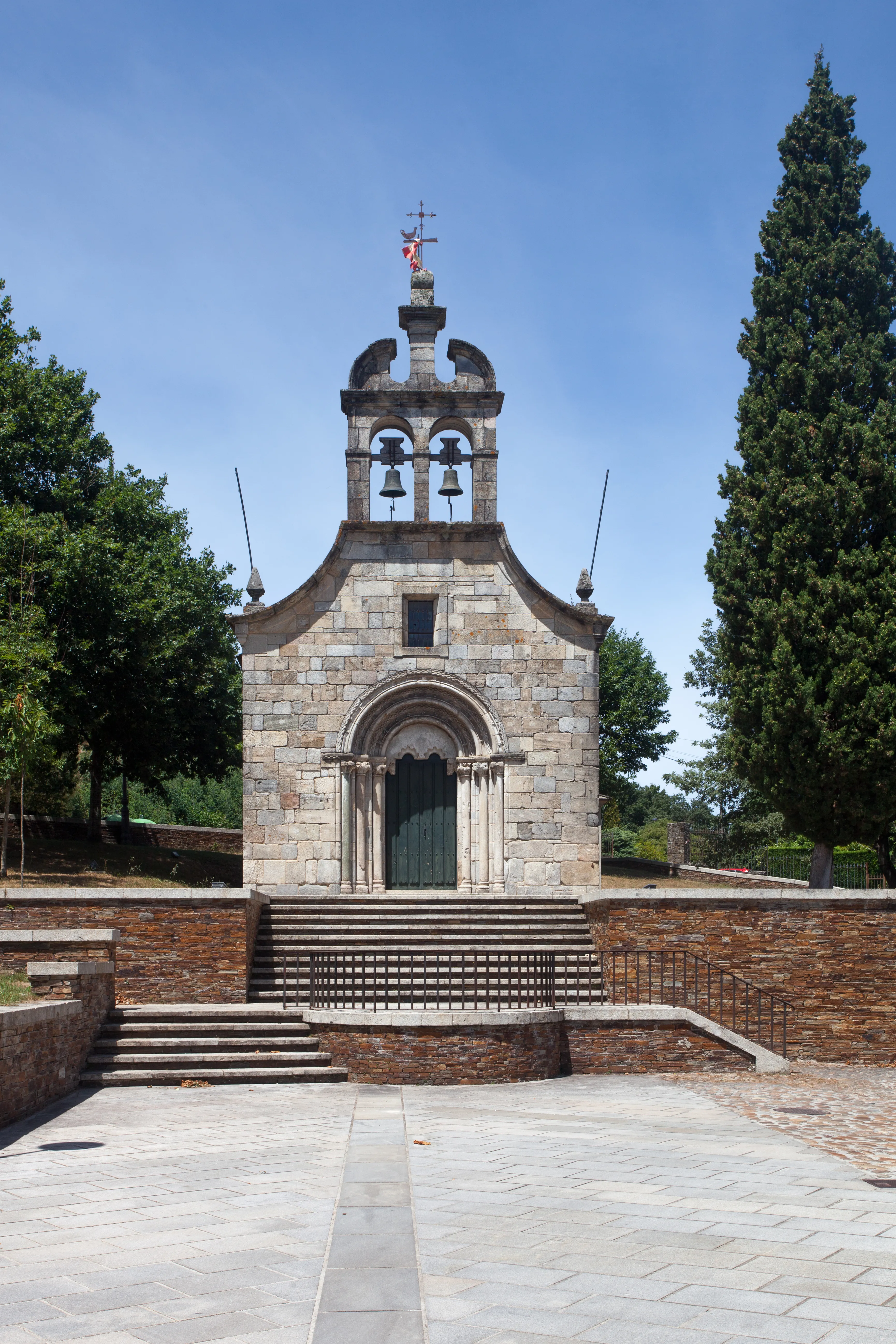
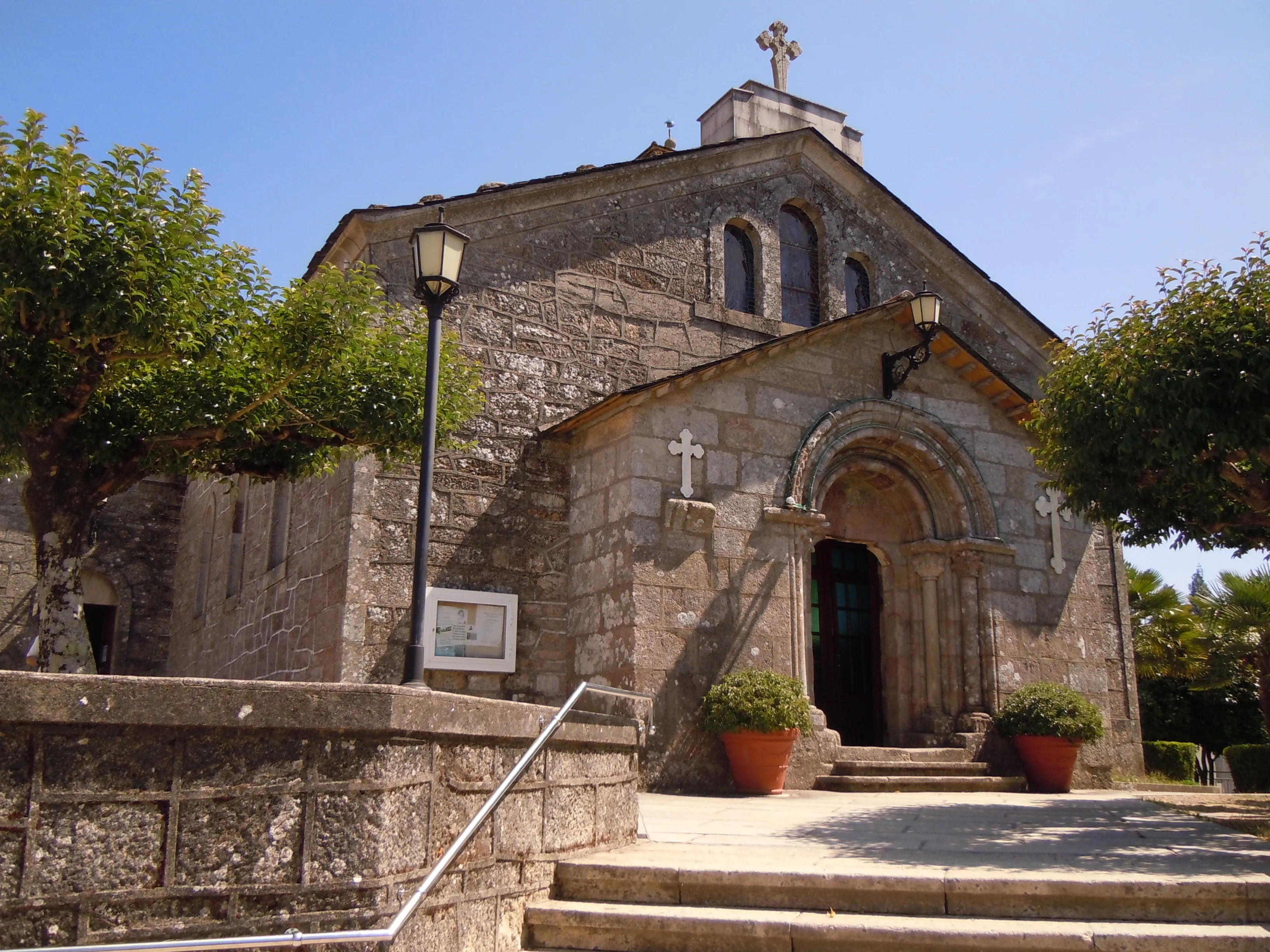
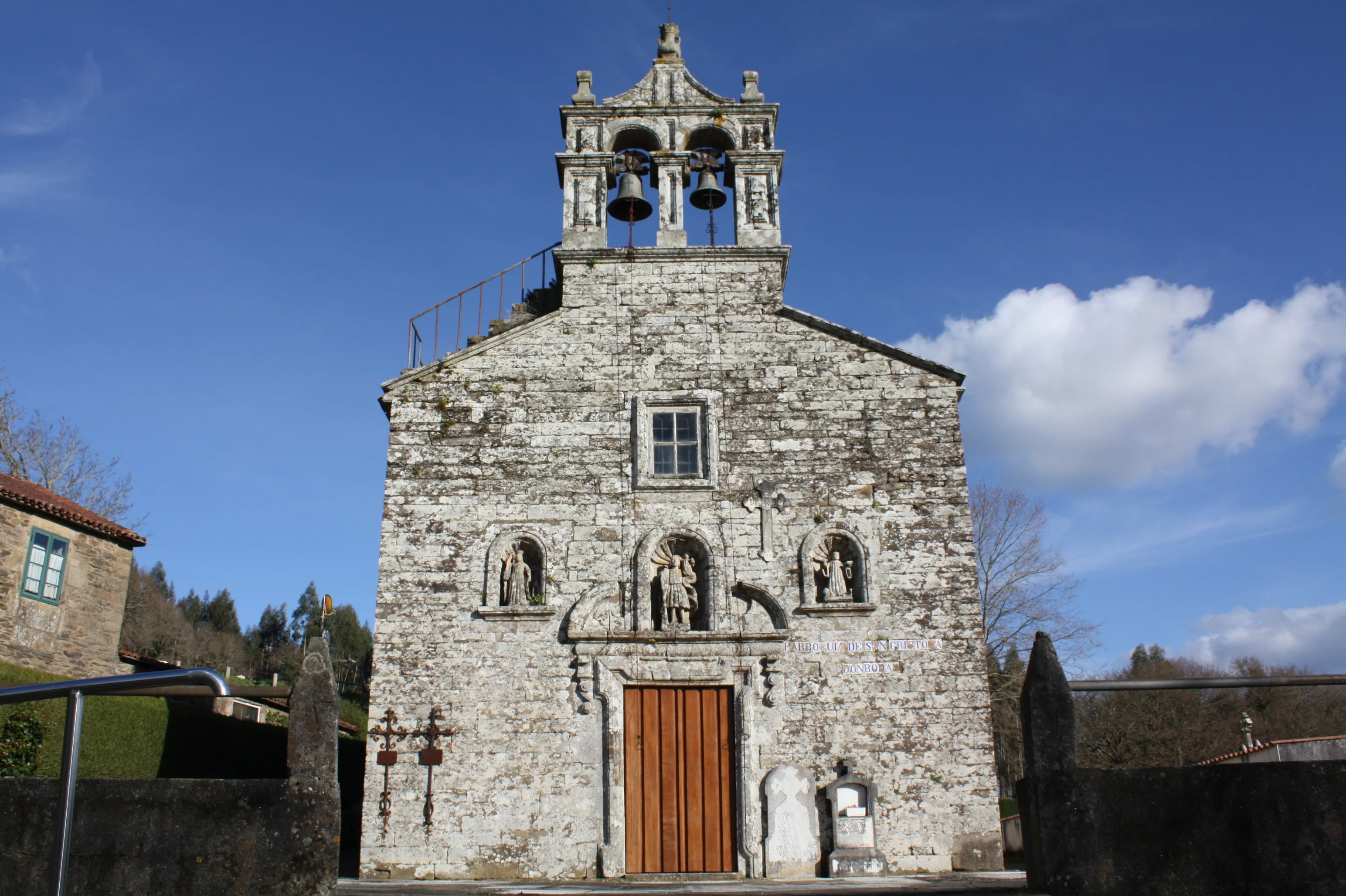
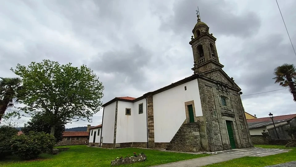
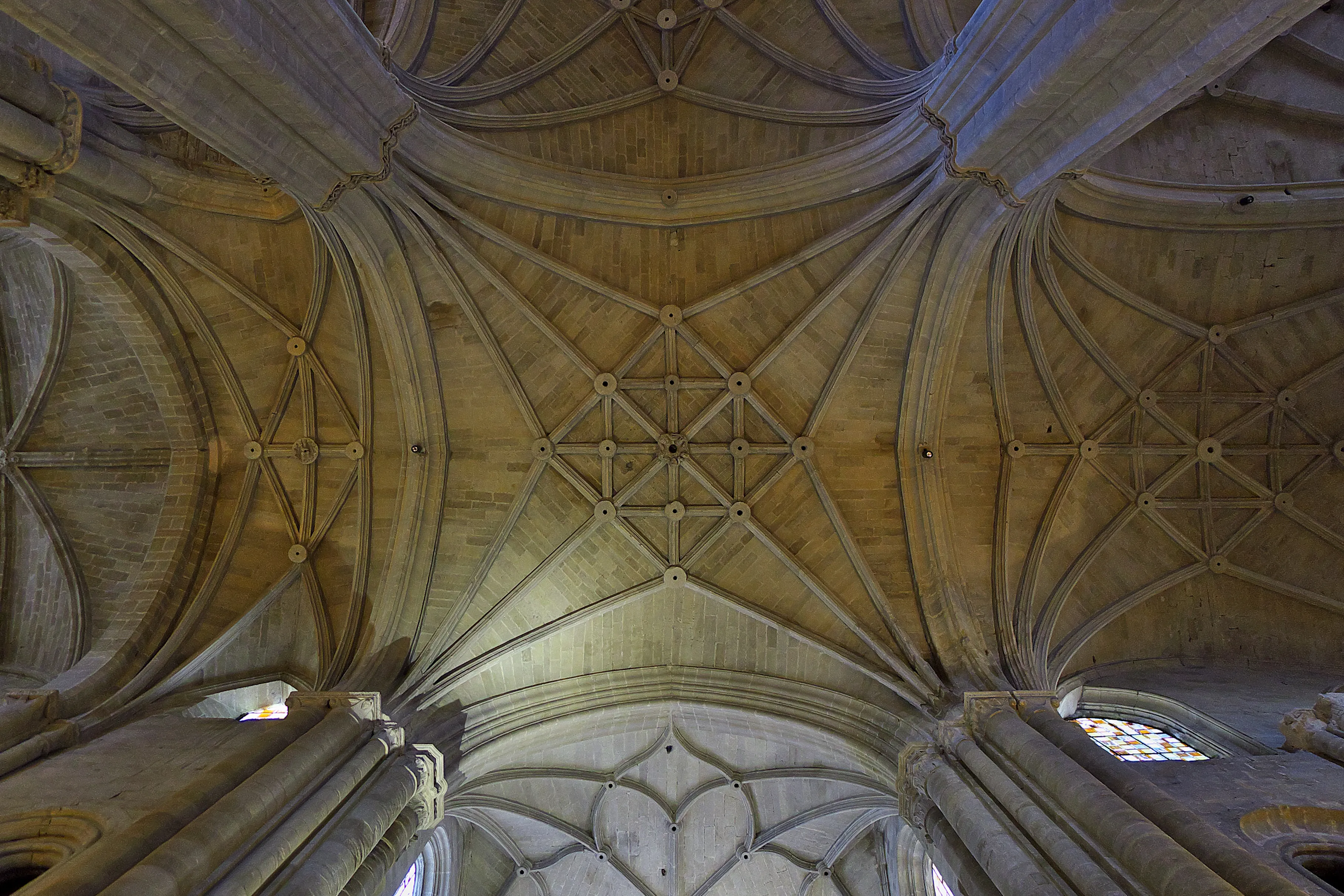
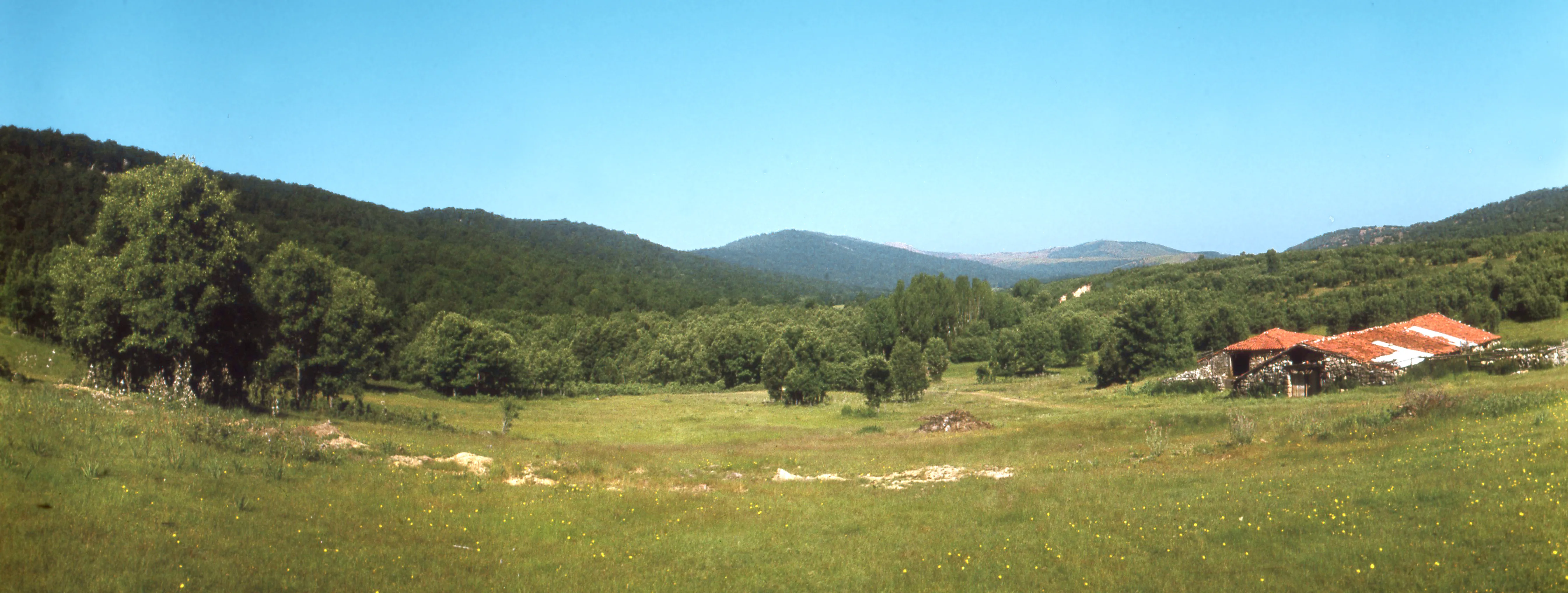
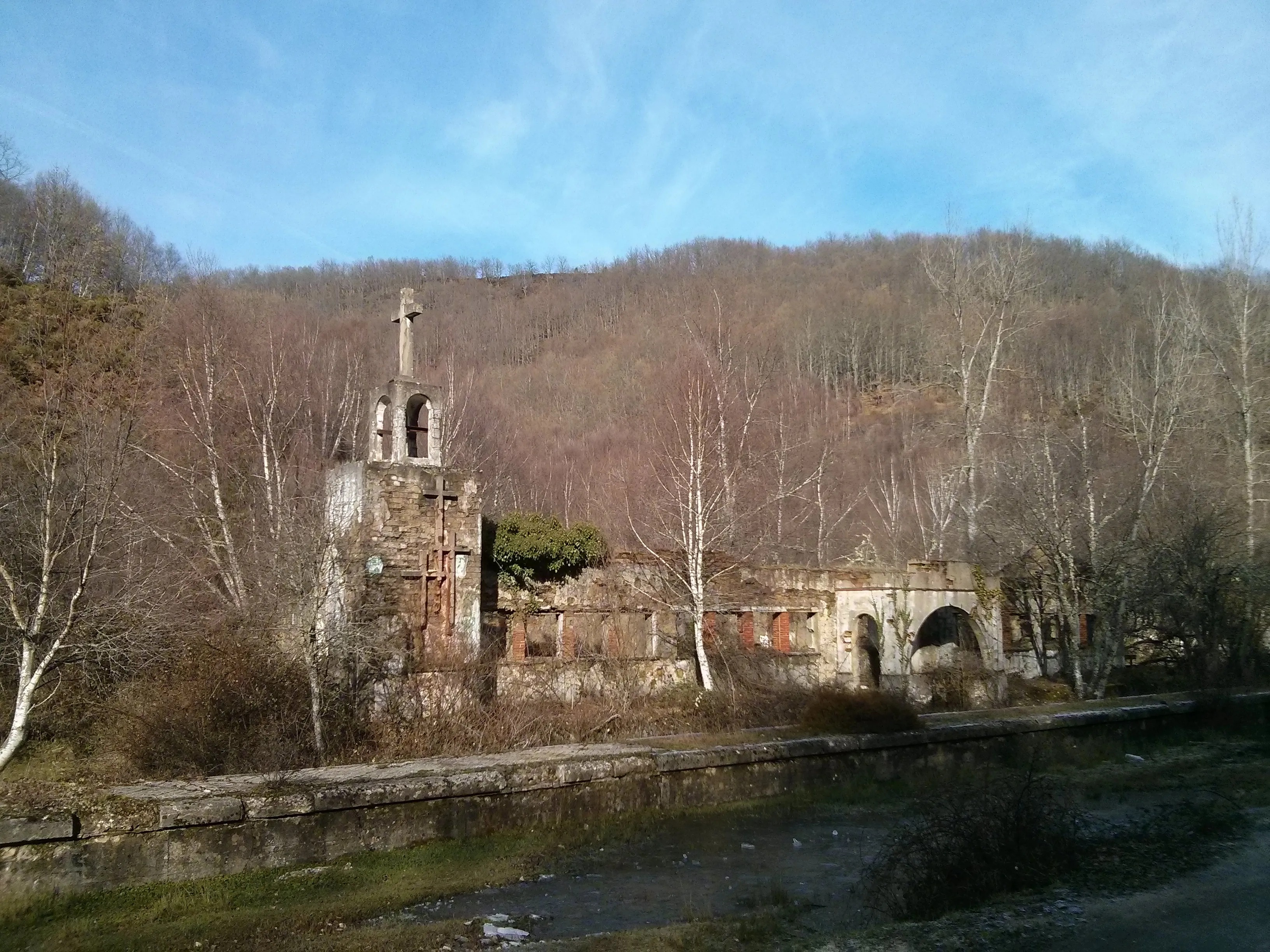
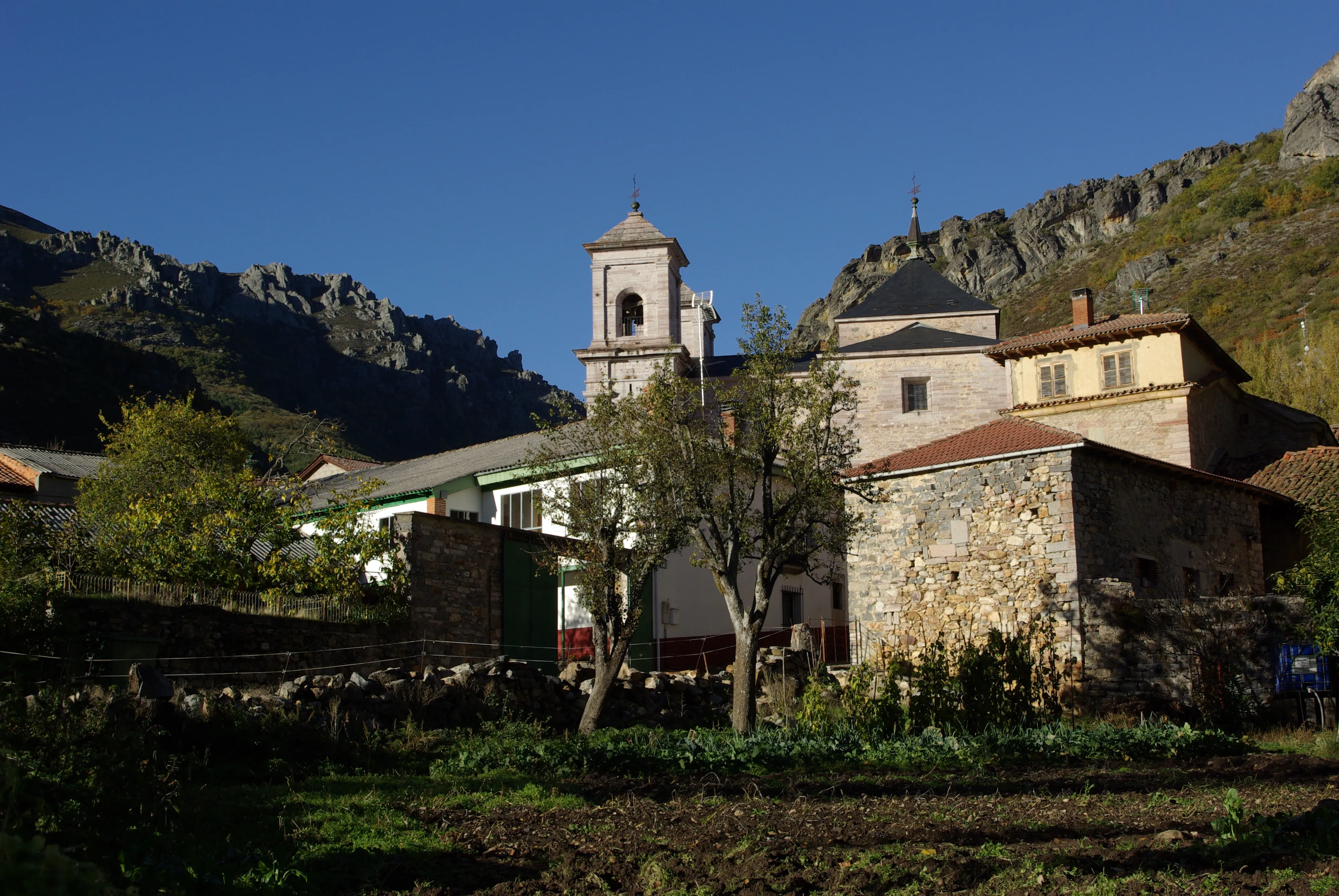
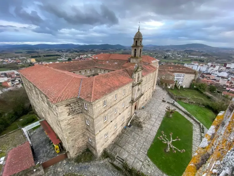
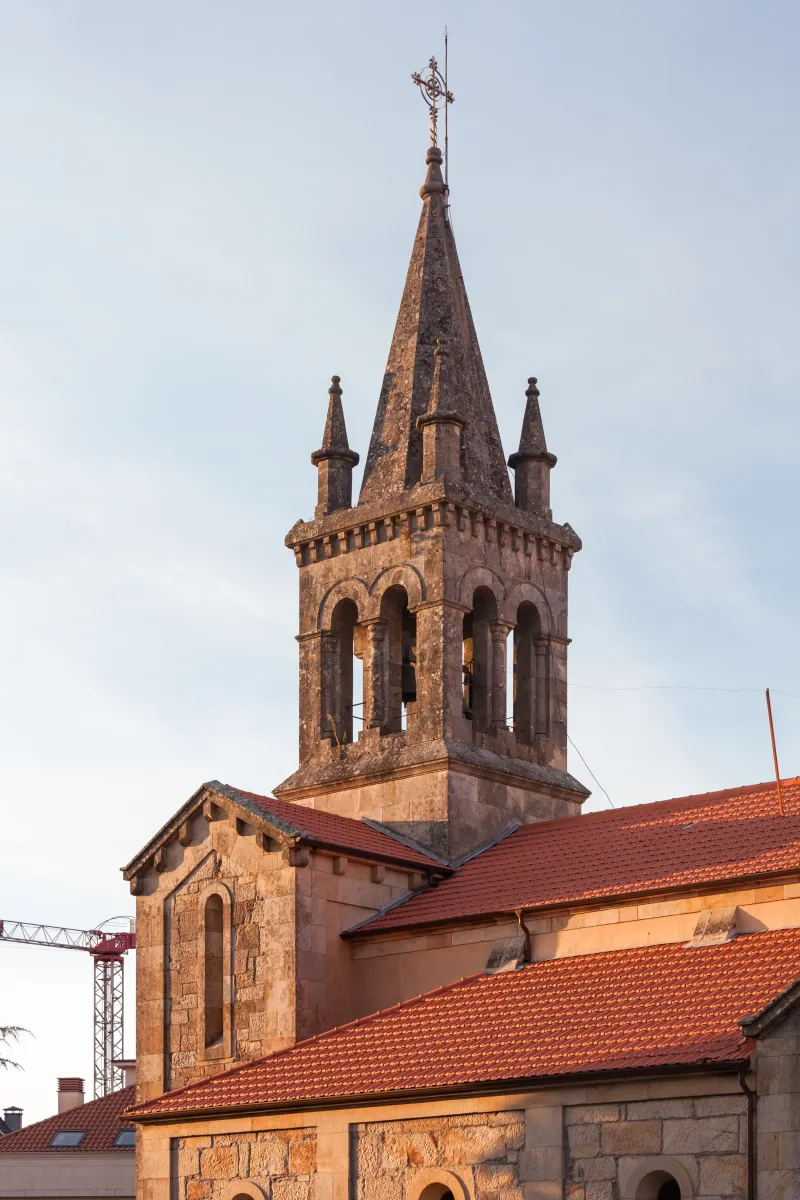
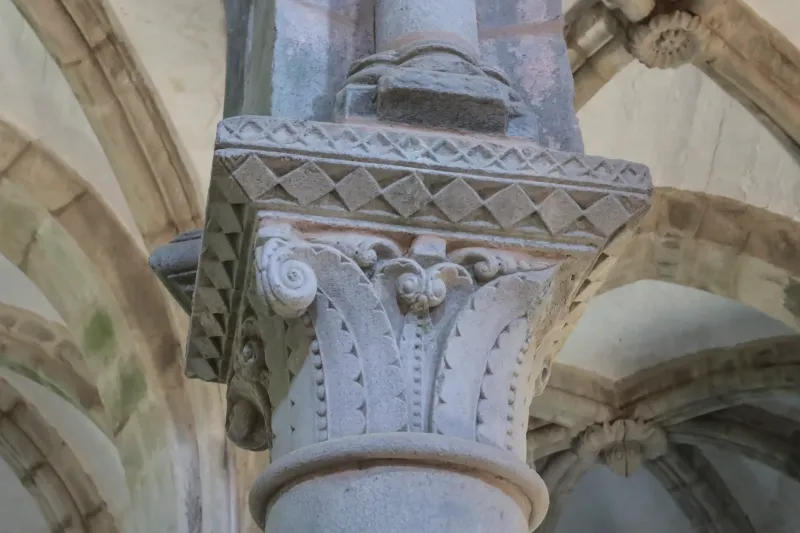
One of the most spectacular and historically charged sections is the passage through Ribeira Sacra. This region, a UNESCO World Heritage Site candidate, is famous for its impressive river canyons and houses one of Europe's largest concentrations of Romanesque monasteries and eremitorios. The existence of these monastic centers (such as Santo Estevo de Ribas de Sil or Santa Cristina) demonstrates that the Sil River valley was an important spiritual and communication corridor throughout the centuries, reinforcing the idea of continuous traveler transit, including pilgrims.
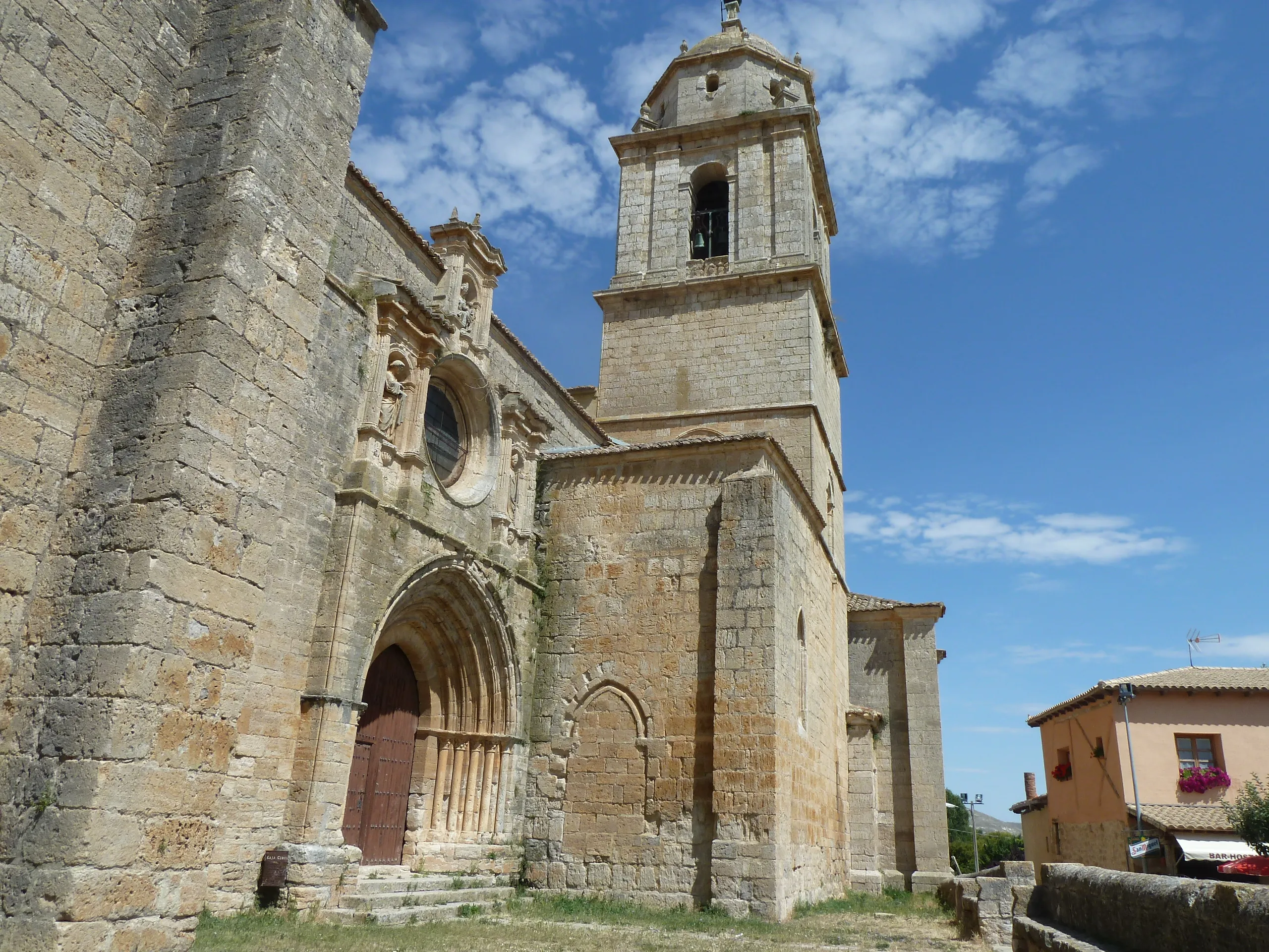
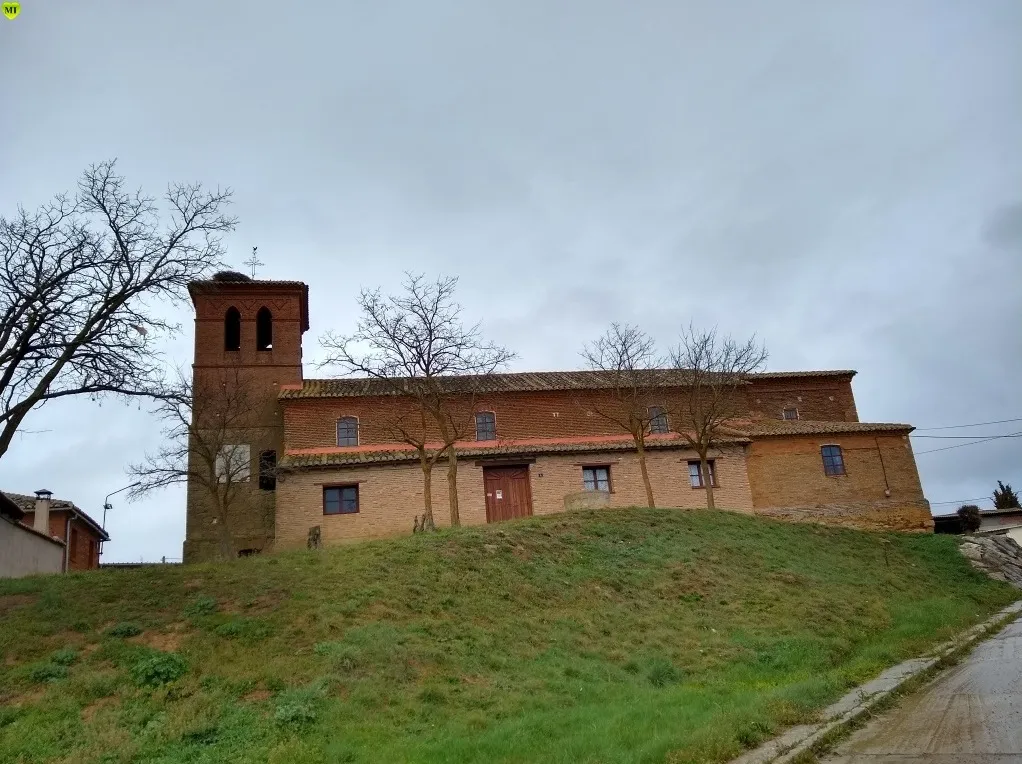
The route continued through significant medieval villages such as Monforte de Lemos, a lordship of the Counts of Lemos and a vital communication node in southern Lugo, and Chantada. From there, it directed itself towards the Deza region in Pontevedra. Near Lalín, the Winter Way converged with the Vía de la Plata in its variant of the Camino Sanabrés, sharing the final stages until Santiago de Compostela. This convergence highlights its logical geography as a route of convergence.
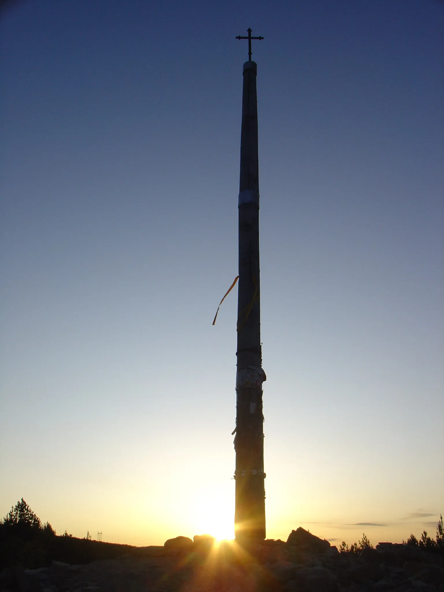
One of the most singular characteristics of this path is that it is the only Jacobean itinerary that covers all four Galician provinces: entering Ourense, traversing southern Lugo, entering Pontevedra, and concluding in A Coruña. Despite its historical use, for centuries it remained an "unofficial" route, less documented than the Camino Francés. Its revitalization has been a recent effort by historians, friends of the Camino associations, and public administrations. Thanks to their research, signage, and promotion efforts, the Winter Way was officially recognized as a Jacobean route by Santiago Cathedral in 2016. Today, it offers pilgrims an unique experience, more solitary and filled with history, with landscapes ranging from heroic viticulture vineyards to inner valley Galicia valleys.
We answer your questions
Frequently Asked Questions about Winter Path
Can the Winter Way be walked in winter?
Paradoxically, the Winter Way is passable throughout the year. It's called this because it was the alternative medieval pilgrims used in winter to avoid the snows of O Cebreiro on the French Way, descending through the Ribeira Sacra.
How long is the Winter Way?
The Winter Way measures approximately 263 km from Ponferrada to Santiago de Compostela, divided into 10 stages. It passes through the spectacular Ribeira Sacra region, renowned for its terraced vineyards and medieval monasteries.
Is it an official route for the Compostela?
Yes, the Camino de Invierno is officially recognized and allows you to obtain the Compostela. It's a less-traveled route that offers authenticity and unique landscapes of the Ribeira Sacra, a UNESCO World Heritage site candidate.
Where does the Camino de Invierno start?
The Camino de Invierno starts in Ponferrada (León), at the same point where the Camino Francés enters El Bierzo. From there it descends through the Ribeira Sacra instead of climbing to O Cebreiro, offering a gentler alternative in winter snow conditions.
What is there to see in the Ribeira Sacra?
The Ribeira Sacra is one of the treasures of the Camino de Invierno. It is renowned for its terraced vineyards above the Sil River canyon, its medieval monasteries like San Esteban de Ribas de Sil, the river viewpoints and Galician stone crosses. It is a UNESCO World Heritage candidate.
Is there good hostel infrastructure on the Camino de Invierno?
The infrastructure has improved greatly in recent years, though less dense than on the Camino Francés. In some sections hostels are in small towns. It is recommended to plan stages in advance, especially outside peak season.
Is the Camino de Invierno suitable for beginners?
With adequate preparation, yes. The stages are of medium length and the gradients are less than on the Camino Francés from Saint-Jean. The Ribeira Sacra has some hilly sections. Trekking poles and shoes with good grip are recommended.
What is the best time to walk the Camino de Invierno?
Despite the name, the best time is spring (April-May) when the vineyards turn green, or autumn (October) during the grape harvest. In winter it is perfectly walkable as it avoids the snow of O Cebreiro, though it can be cold and rainy in Galicia.
Organize Your Camino
Ready for this adventure?
Winter Path