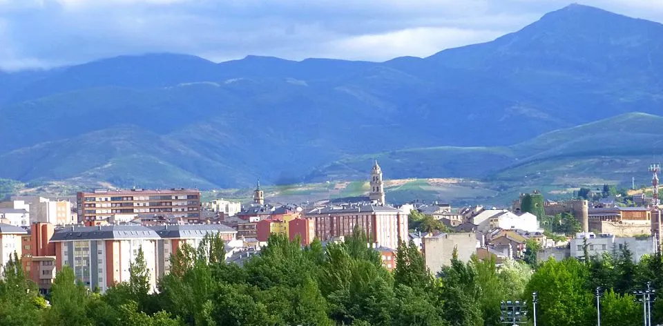
Camino de Santiago
Way of the Asturias
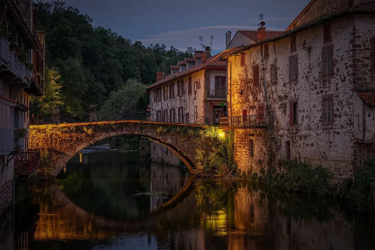
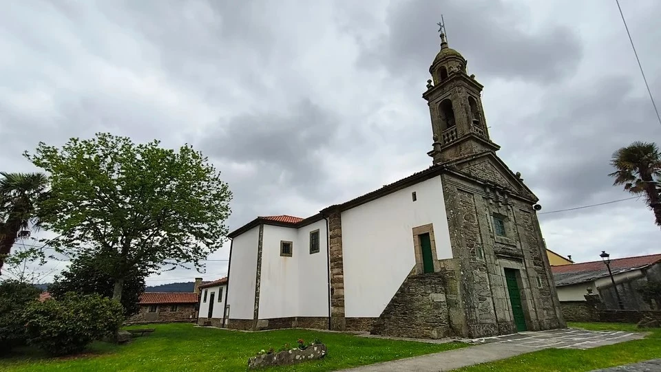
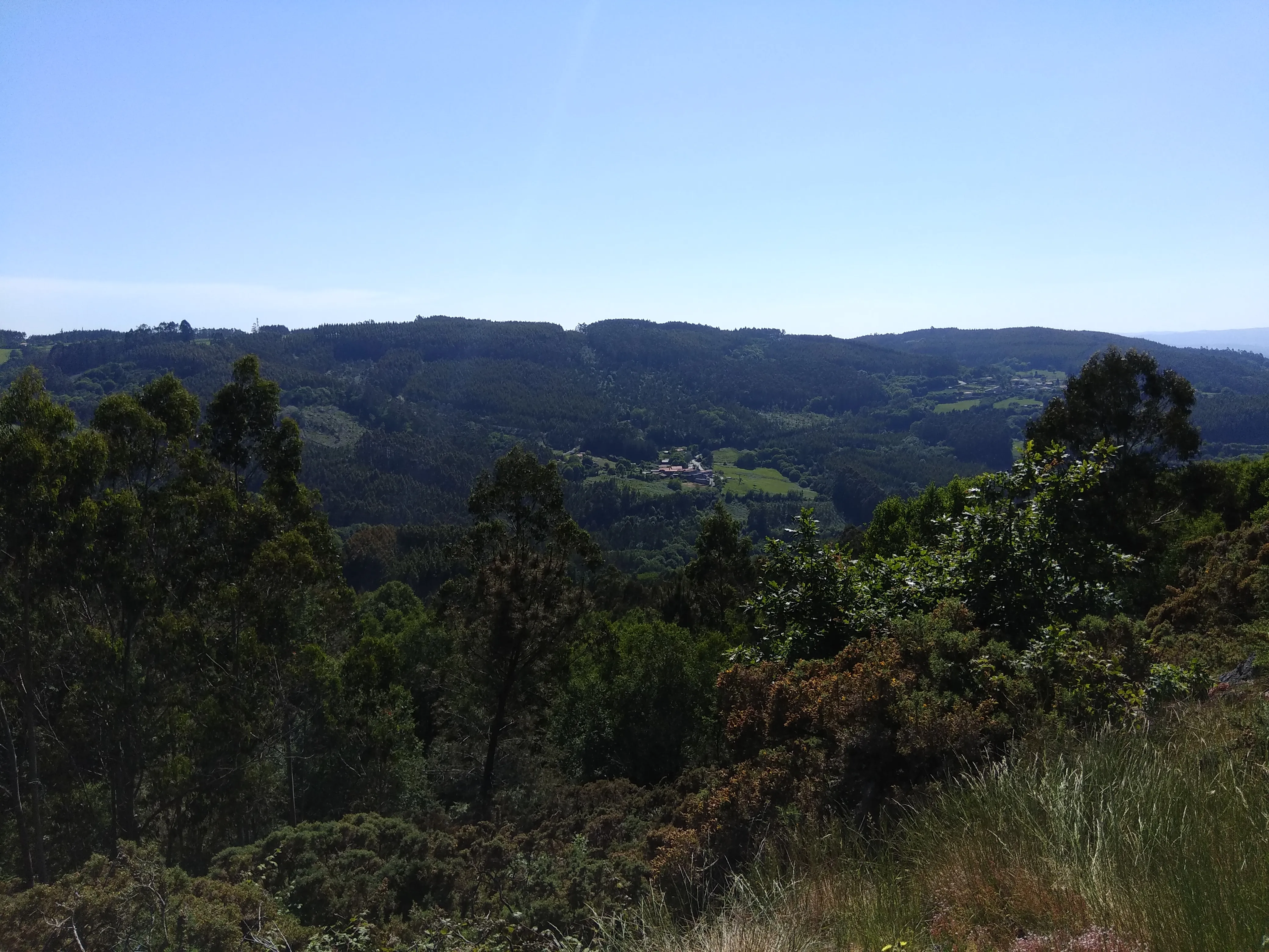
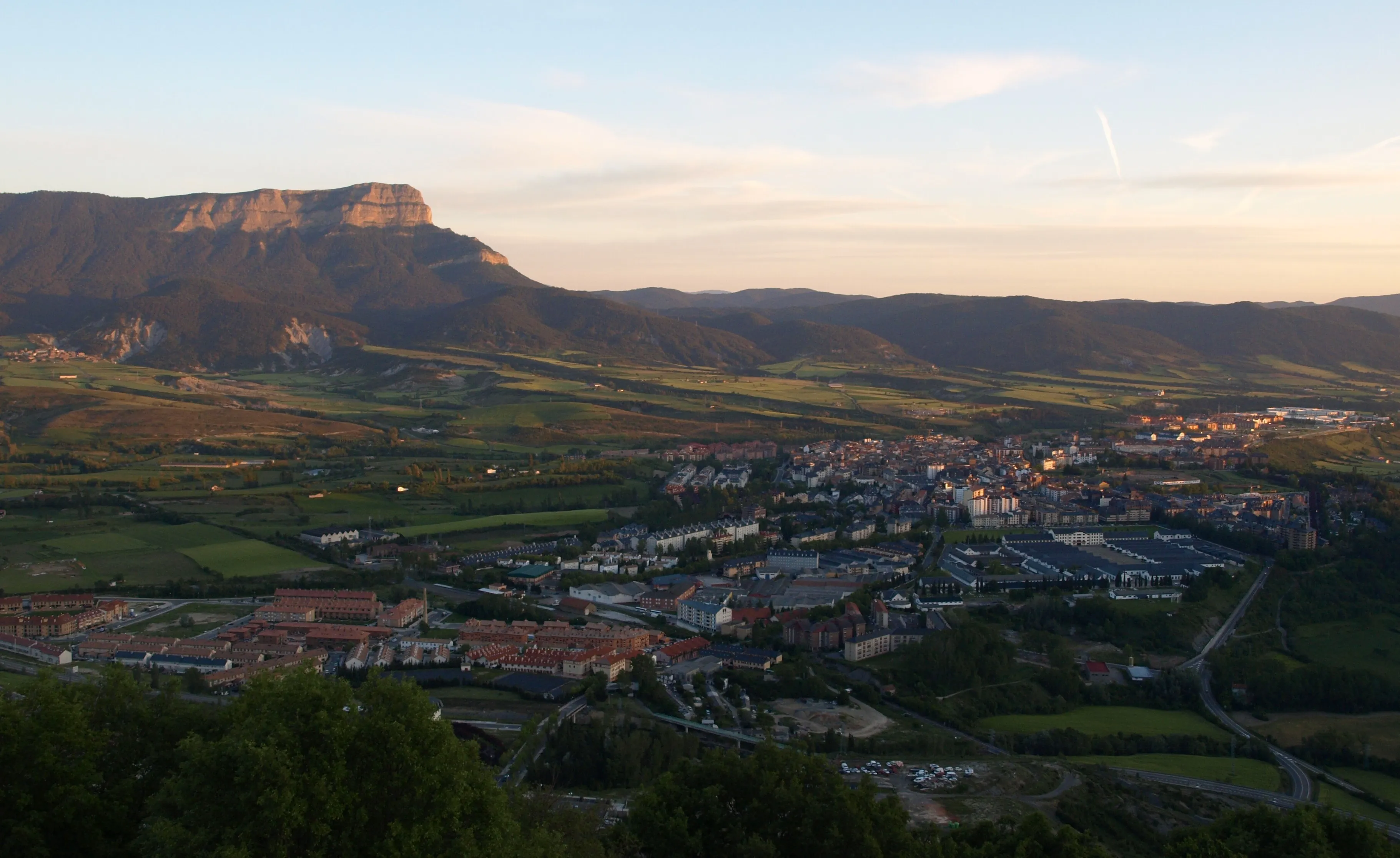
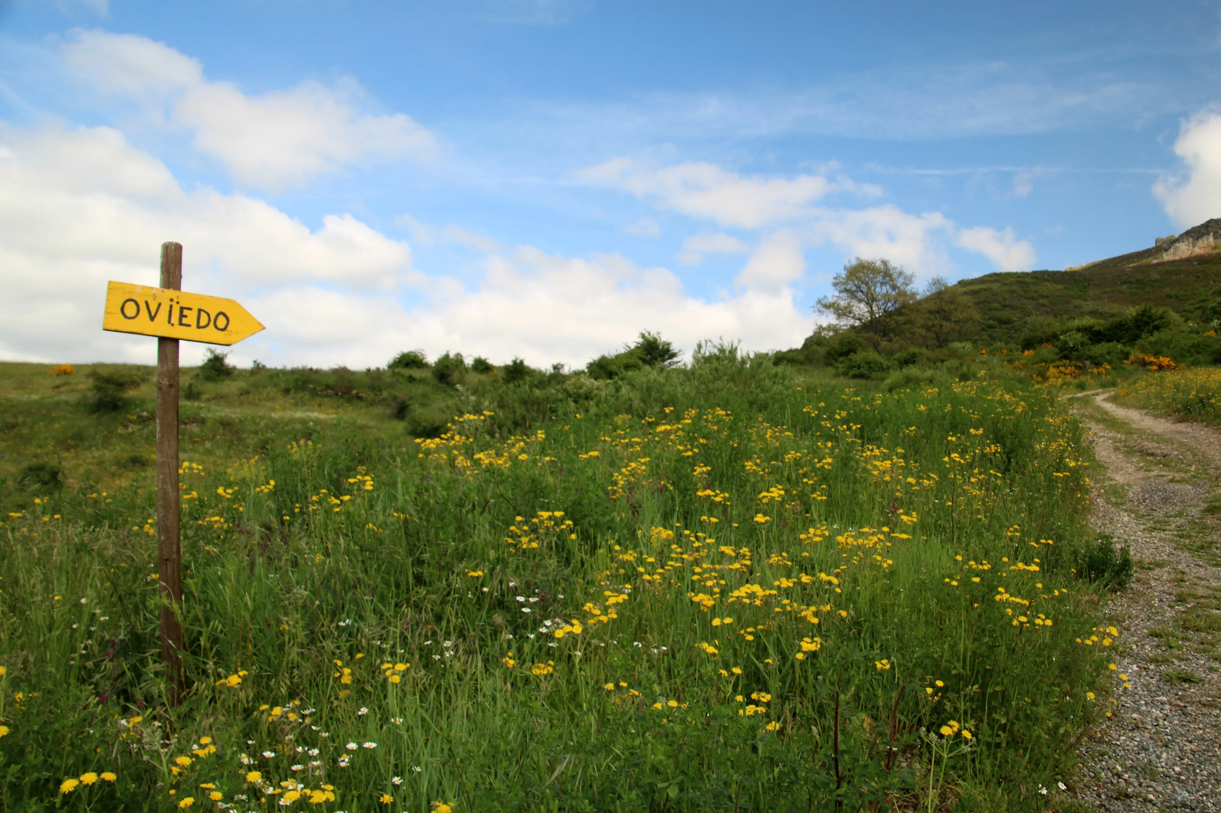
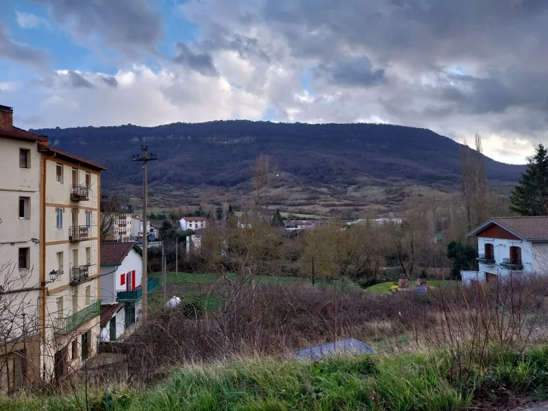
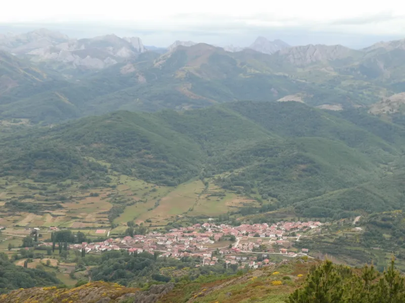
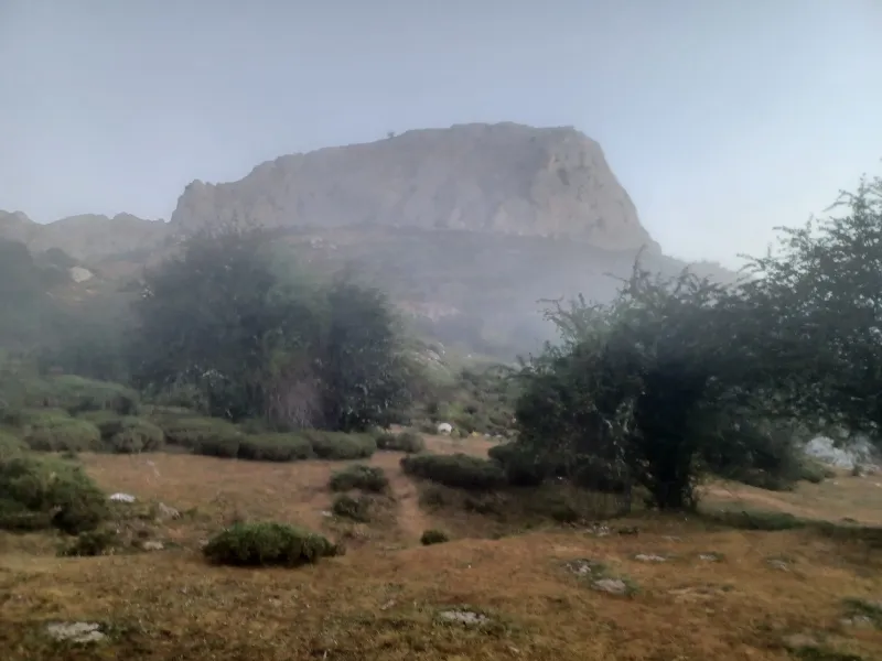
The Way of Asturias is a historic and demanding route that unites Pamplona with Oviedo, crossing the mountains of northern Spain. Ideal for adventurous pilgrims seeking nature.
Organize your Way of the AsturiasLast updated: 21/05/2025
The Route
General Description of Way of the Asturias
Related Routes
Connections of Way of the Asturias
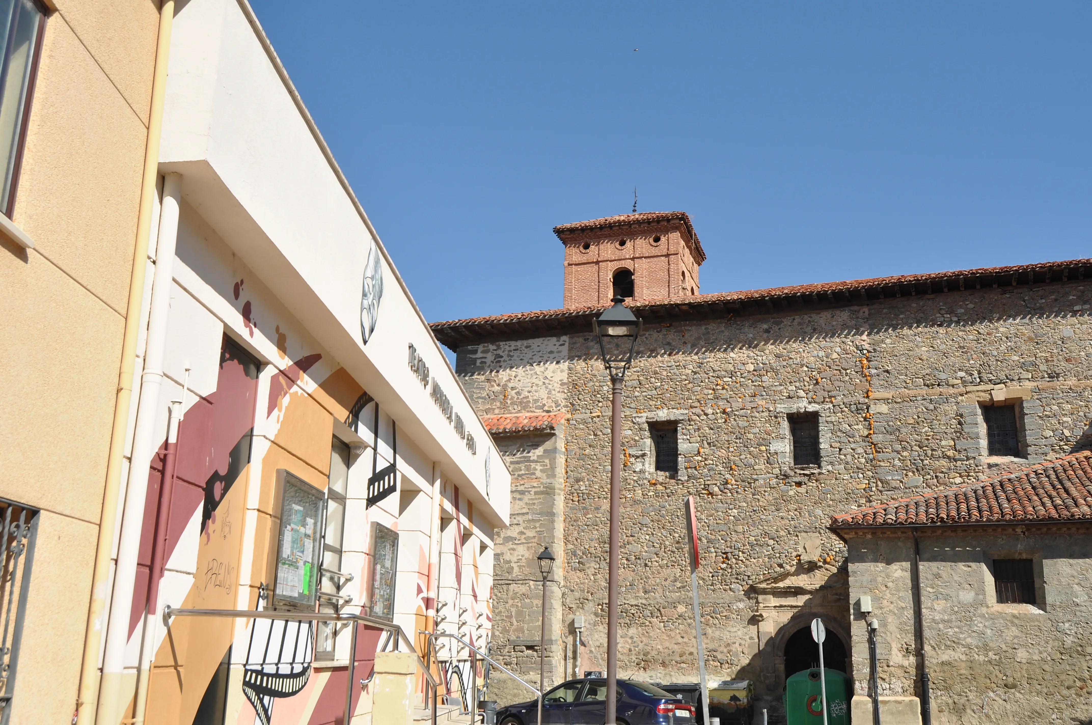
The French Way
779 km
33
Media
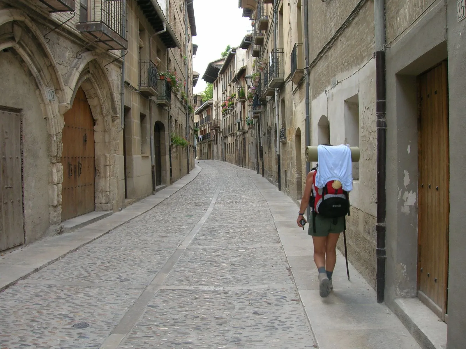
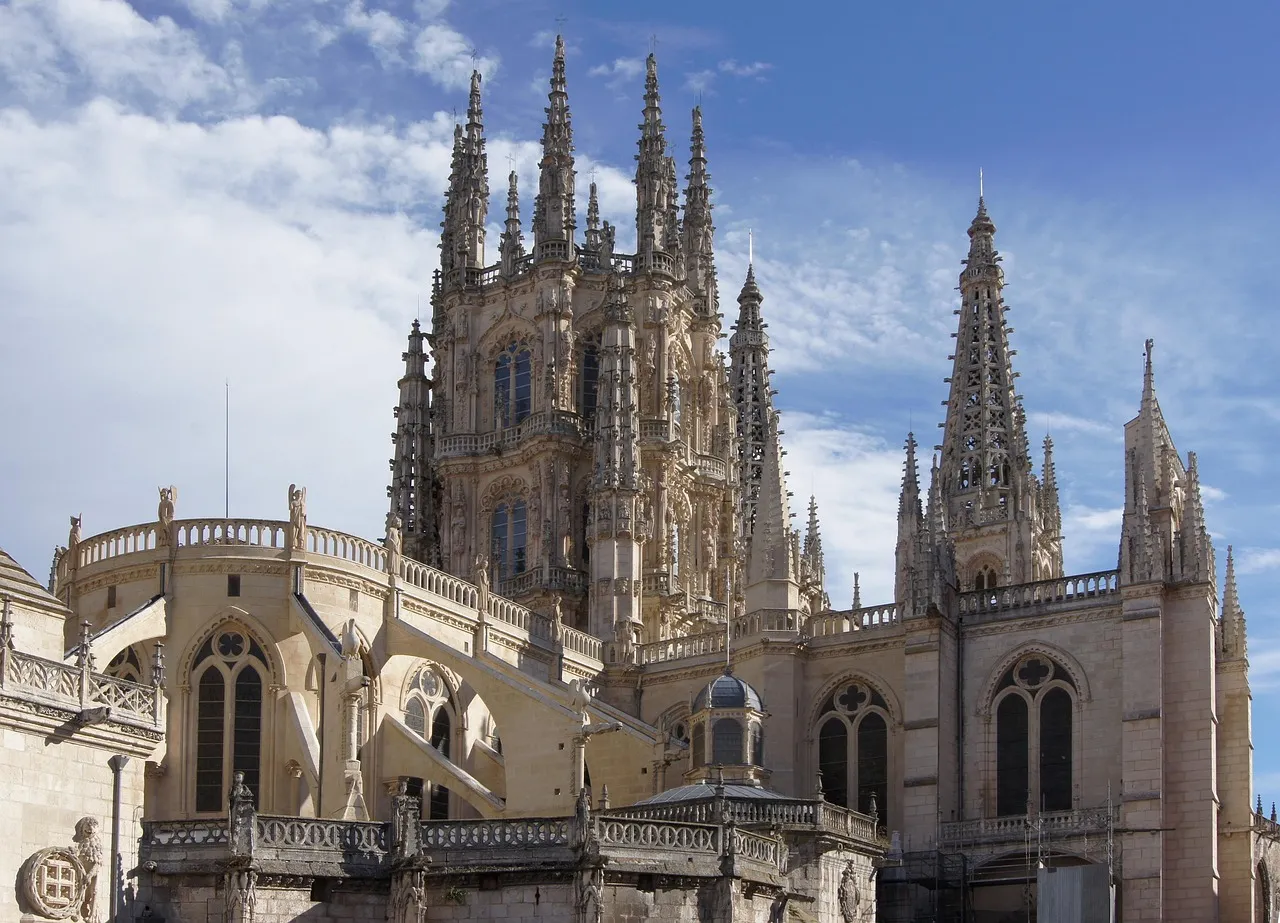
The Camino Francés is the pilgrimage route to Santiago de Compostela of excellence, chosen by thousands of pilgrims every year. With a journey of approximately 780 km from Saint-Jean-Pied-de-Port or less from Roncesvalles, it traverses northern Spain. This path, declared a World Heritage Site by UNESCO, offers exceptional infrastructure for services and hostels.
Pilgrims traverse Navarra, La Rioja, Castile and León, and finally Galicia, marveling at monumental cities such as Pamplona, Burgos, and León, and charming villages. The diversity of its landscapes is one of its greatest attractions, from the Pyrenees and the Castilian plains to the green forests of Galicia. It's a physical and spiritual journey that leaves an indelible mark, ideal for both experienced pilgrims and those starting out on the Camino de Santiago.
Stages of this variant:
Stage 1: St. Jean Pied de Port to Roncesvalles
Stage 2: Roncesvalles to Zubiri
Stage 3: Zubiri is going to Pamplona.
Stage 4: Pamplona to Pontevedra
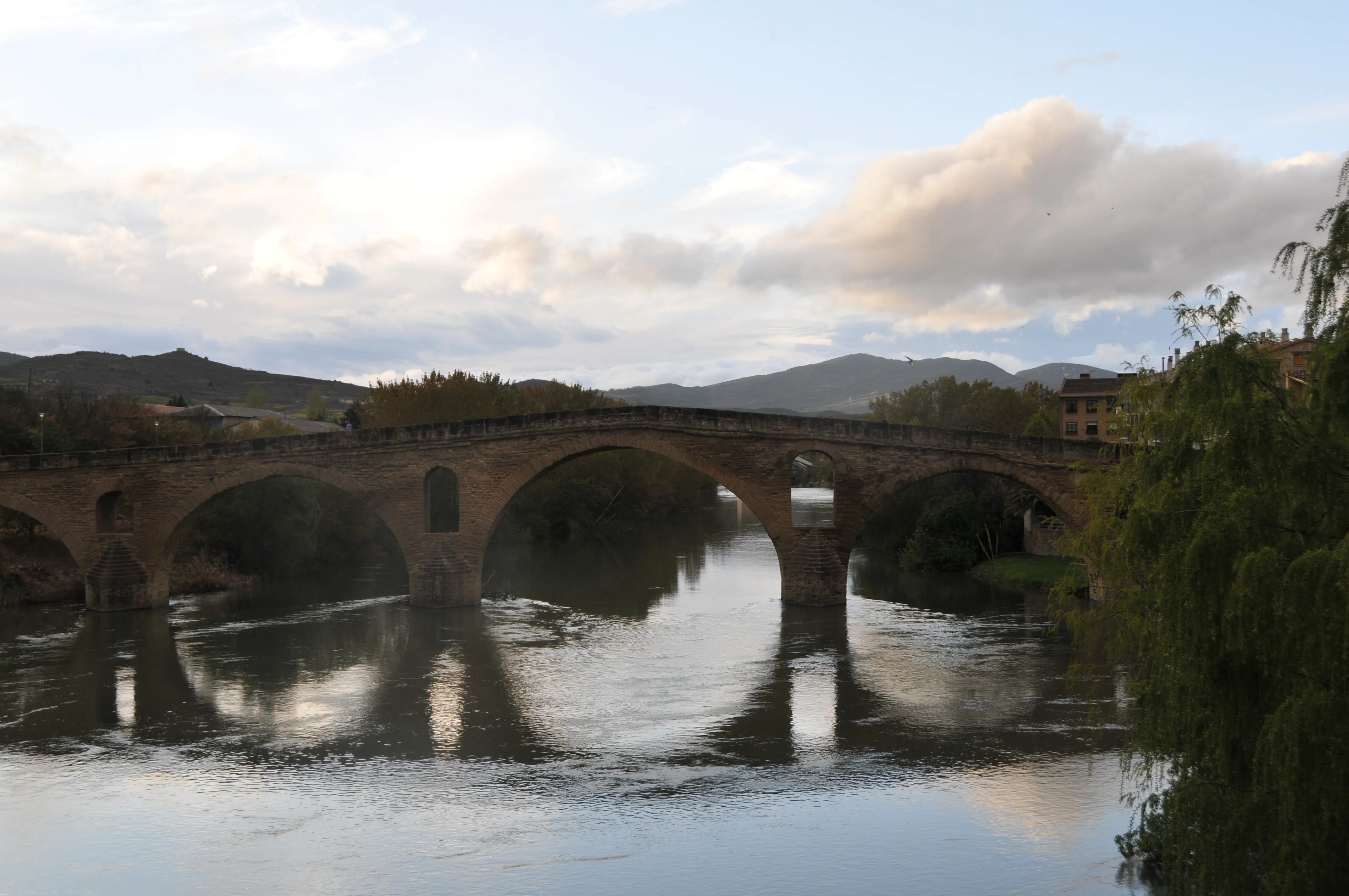
Stage 5: Bridge of Queen to Estella
The Camino by Bike
779 km
14
Media
The Camino Francés by bike offers a dynamic experience for "bicigrinos". Although the general route follows the walking trail, stages are designed to cover greater distances, condensing the journey into 14 days. This mode allows cyclists to pass through Pamplona, Burgos and León, and traverse the Pyrenees, Meseta and Galicia landscapes at a brisk pace.
Stages of this variant:
Stage 1: Saint Jean Pied de Port to Zubiri (Bike)
Stage 2: Zubiri to Puente la Reina by bike
Stage 3: Bridge of Queen to Towers of Rio (Bicycle)
Stage 4: Logroño - Santo Domingo de la Calzada by bike
Stage 5: Santiago de Compostela - Santiago de Compostela (by bike)

The Primitive Way
321 km
14
High
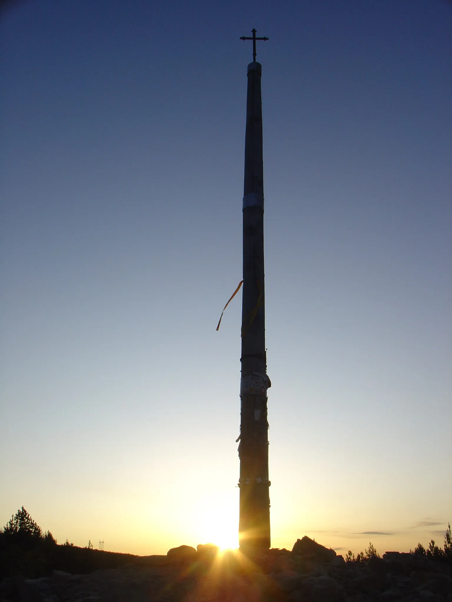
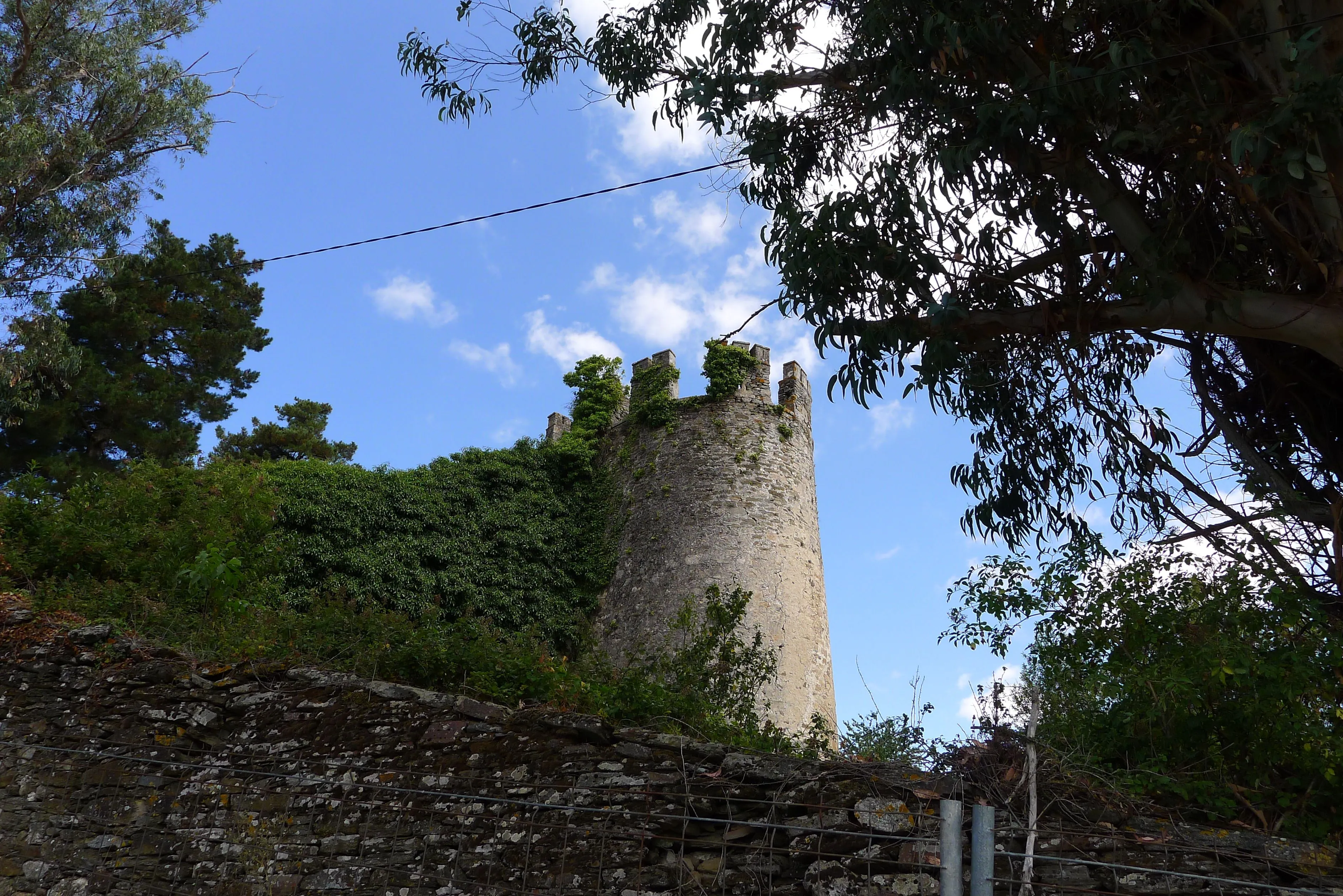
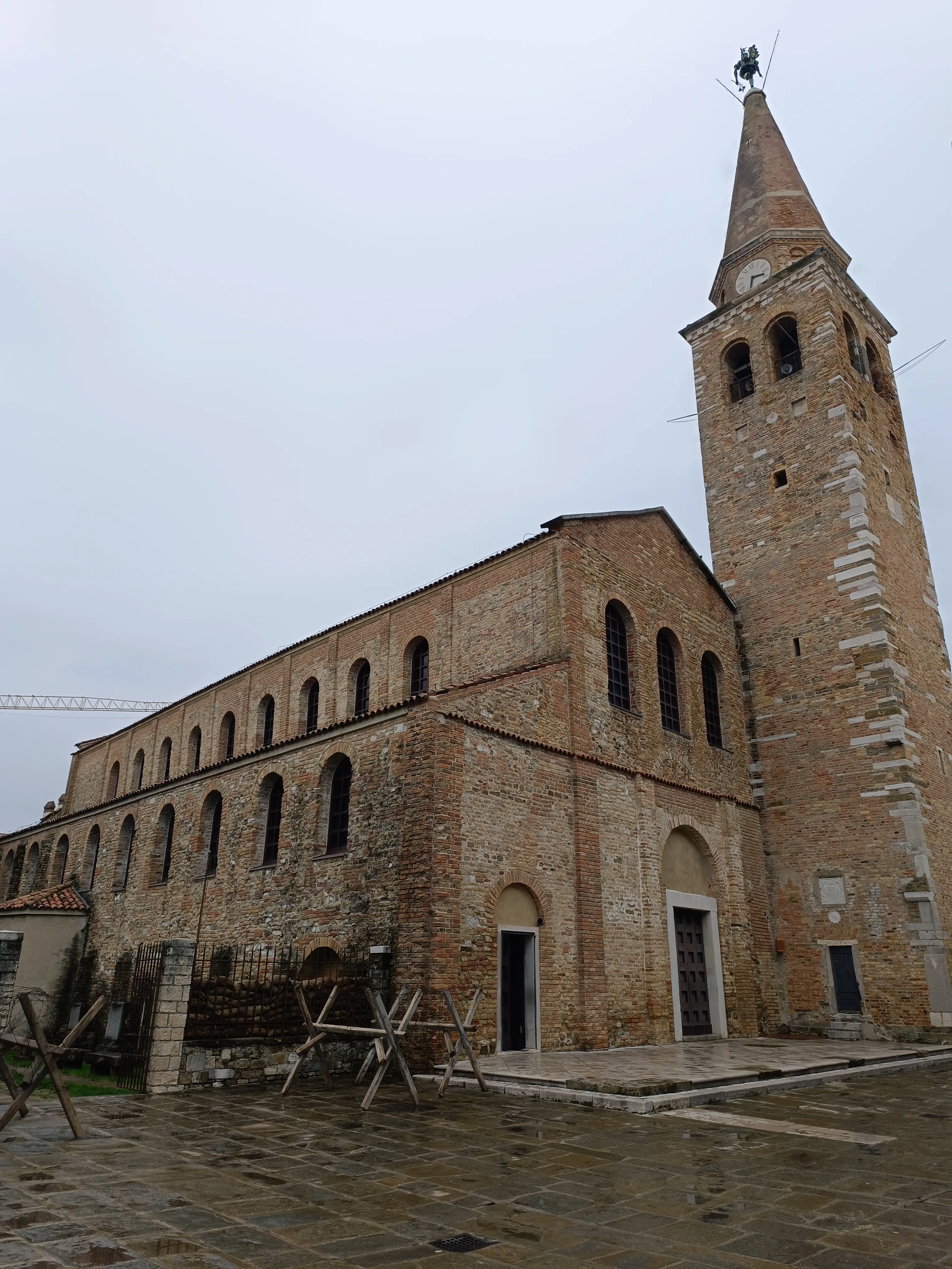
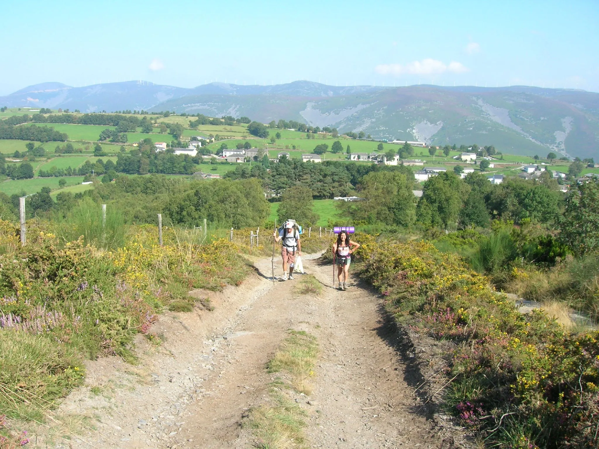
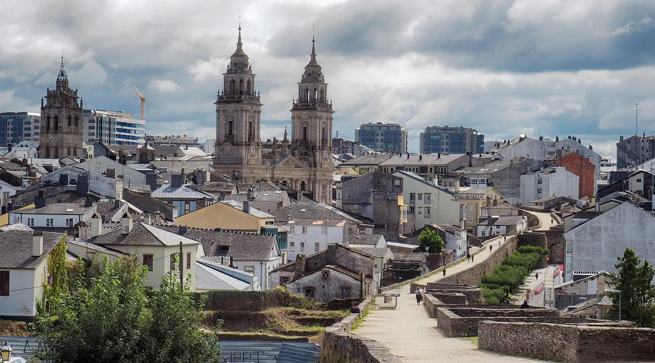
Considered the first Jacobean itinerary, the Primitive Way was the route taken by King Alfonso II the Chaste in the 9th century to visit the Apostle's tomb. Starting from Oviedo, this demanding 321 km trail ventures into Asturias and Lugo mountains until it joins the French Way in Melide.
Known for its hardness due to constant inclines, but rewarding pilgrims with breathtaking landscapes, native forests, and a lower crowd, allowing for a more introspective experience. It passes through charming localities such as Tineo and Lugo, whose Roman wall is UNESCO World Heritage Site. It's the perfect option for those seeking a physical challenge and a deep connection to the origins of the Way and nature.
Stages of this variant:

Stage 1: Oviedo to Huelva
Stage 2: Degree in Salas
Stage 3: Salas de Tineo
Stage 4: Thorn in the Side / The Spine
Stage 5: Barrages of Berducedo
Winter Path
267 km
10
Media
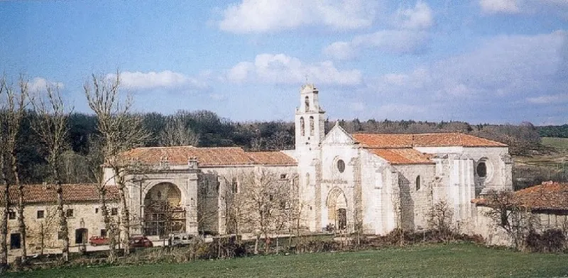
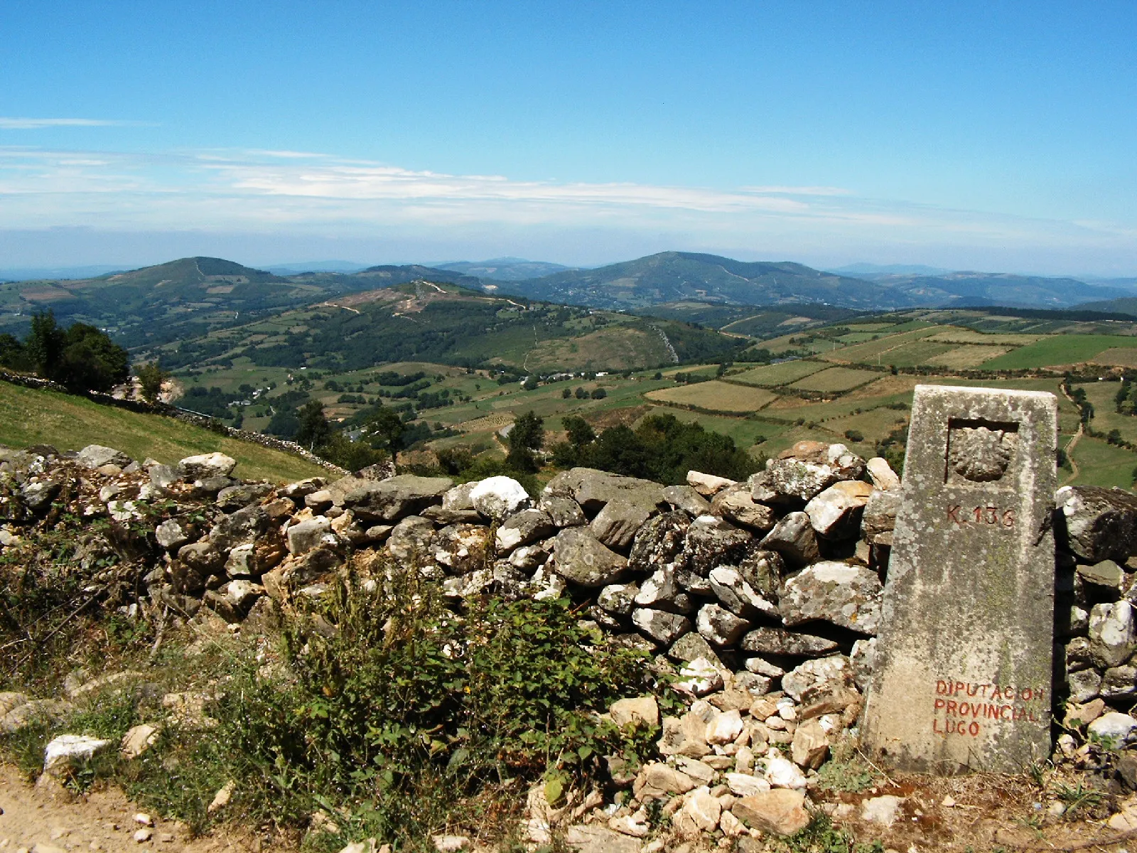
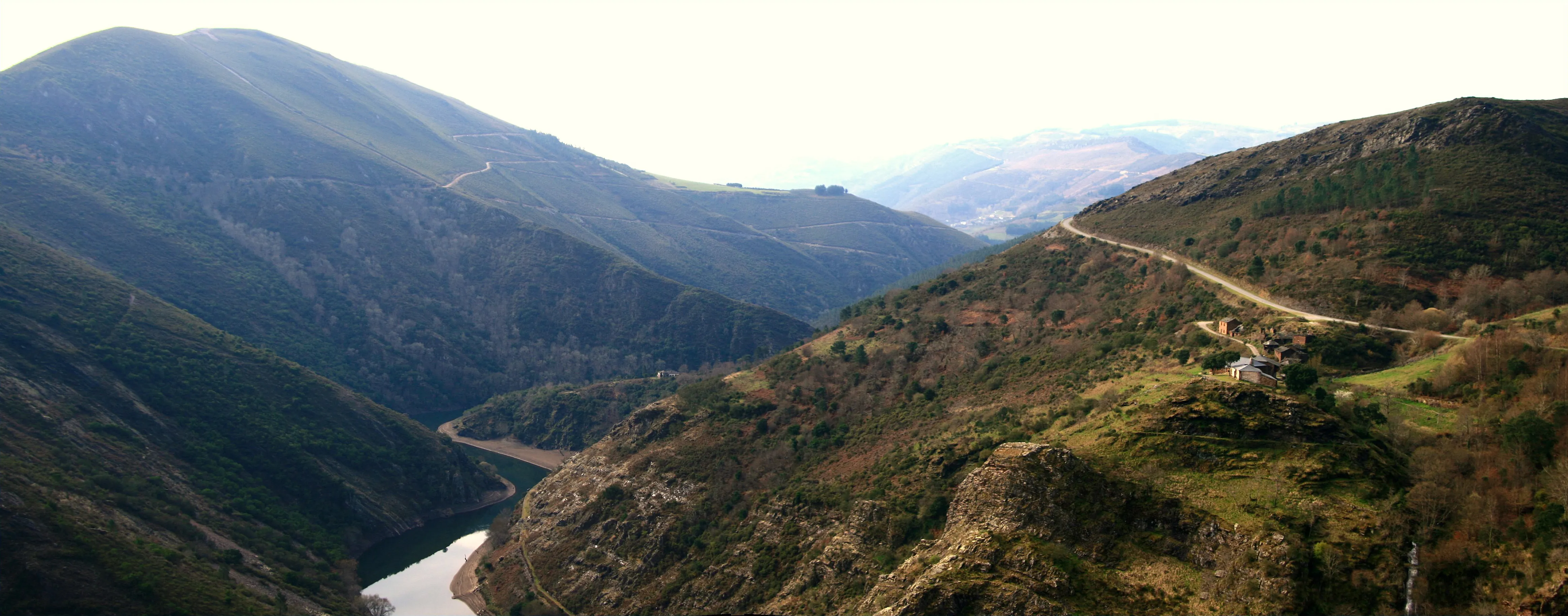
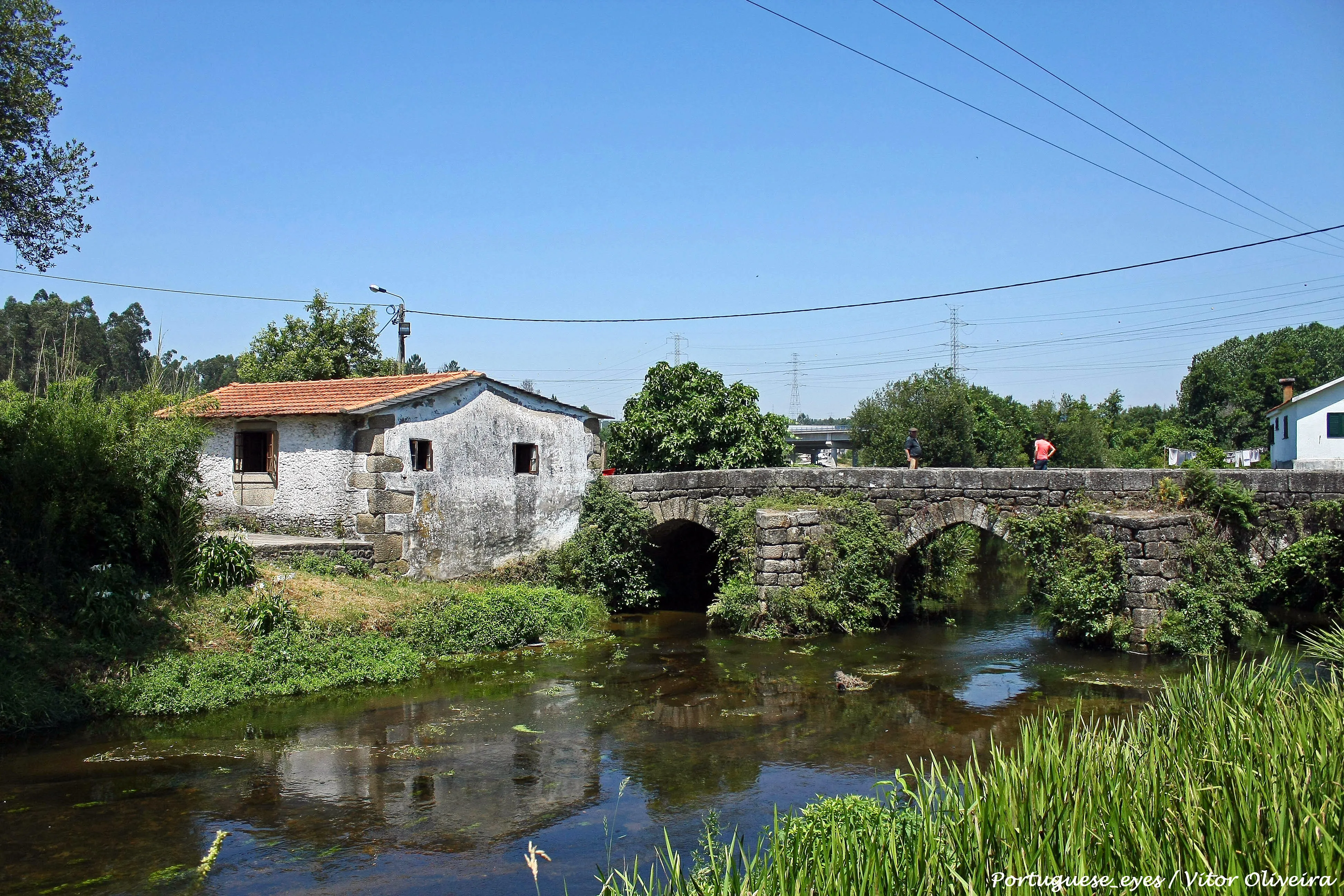
The Winter Way emerges as a historical variant for pilgrims on the Camino Francés who sought to avoid the difficult snows of O Cebreiro. The route diverges in Ponferrada and follows the course of the Sil River, crossing the Valdeorras region, the Ribeira Sacra, and the Deza region before joining the Vía de la Plata/Camino Sanabrés near Lalín.
With a 267 km journey, it is the only Camino that traverses all four Galician provinces (Ourense, Lugo, Pontevedra, and A Coruña). It offers spectacular landscapes like the Sil Canyons and its heroic viticulture, allowing you to discover a natural and cultural heritage of great value, less known but equally fascinating.
Stages of this variant:
Stage 1: Ponferrada to Las Médulas
Stage 2: The Mines of O Barco de Valdeorras
Stage 3: O Barco de Valdeorras to A Rúa de Valdeorras
Stage 4: Route from Valdeorras to Quiroga
Stage 5: Quirós to Pobra de Brollón

Aragonese Way
165.6 km
6
Media
The Aragonese Way is one of the historical entry routes to the French Way on the Iberian Peninsula. From the Somport Pass, it covers 166 km through beautiful Pirenne landscapes, passing by landmarks such as Jaca and its Romanesque cathedral, the Monastery of San Juan de la Peña or the hermitage of Santa María de Eunate. In Puente la Reina (Navarra), it joins the Way that comes from Roncesvalles.
It is a route with an immense Romanesque patrimony and less pilgrim traffic, which offers a more intimate and authentic experience.
Stages of this variant:
Stage 1: Port of Jaca
Stage 2: Jaca to Arrés
Stage 3: Arrés to Ruesta
Stage 4: To Sue
Stage 5: Song of Monreal
Way of Salvador
119.4 km
6
High
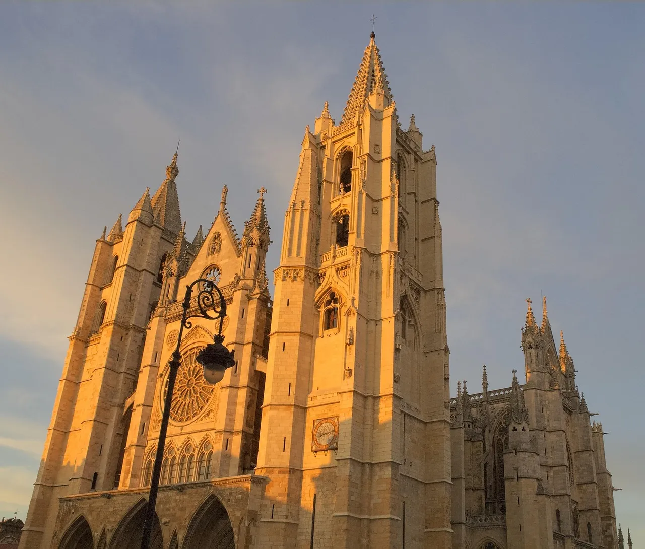
The Way of Salvador, or the Way of St. Salvador, is a historic 120 km route that connects León to Oviedo, allowing pilgrims on the French Way to connect with the start of the Primitive Way. It crosses the Cantabrian Mountains, which implies considerable physical challenge but offers spectacular mountain landscapes.
Its motto "Who goes to Santiago and does not go to Salvador, visits the servant and not the Lord" reflects the historical importance of Oviedo Cathedral and its relics. It is a short but intense route, ideal for pilgrims with good physical preparation who seek to add a mountain component and deep historical connection to their pilgrimage.
Stages of this variant:
Stage 1: Leon at La Robla
Stage 2: Robla to Poladura of the Third
Stage 3: Adhesion of Third to Pajares
Stage 4: Hair to Pola de Lena
Stage 5: Pola de Lena to Mieres
Your trip with Ourway
Everything you need for your Camino
No hassle. Your perfect route, from start to finish.
Accommodation
Selected hotels and hostels at every stage
Luggage transfer
Your backpack travels from stage to stage
Camino Guide
Detailed map with directions and services
24h Support
Team available for any unforeseen event
Pilgrim credential
Official documentation included
No commitment
Free personalized consultation
Stages
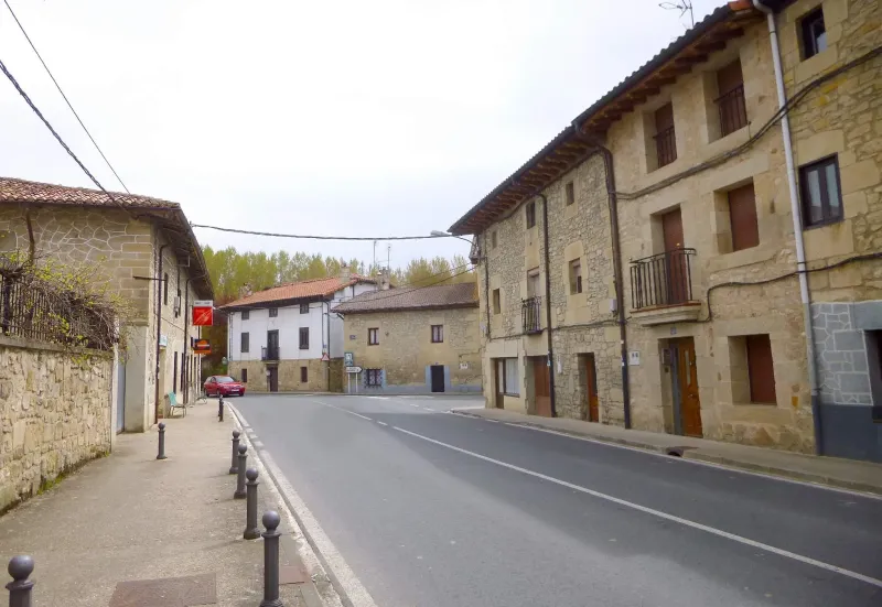
Stages of Way of the Asturias
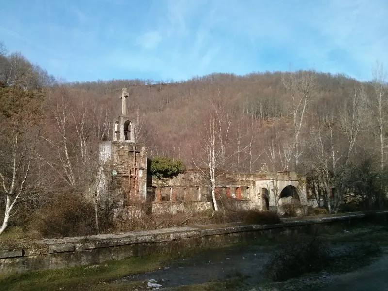
Pamplona → Irurzun
This stage continues over the Manchegan plain. The profile is flat but the journey is long. The landscape remains dominated by fields of cultivation. The destination is Chinchilla de Montearagón, one ...
Irurzun → Alsasua
This is a short and descending profile stage that leads the pilgrim to the capital of the province. It's an enjoyable walk that becomes increasingly urban in its final stretch. The arrival at Albacete...
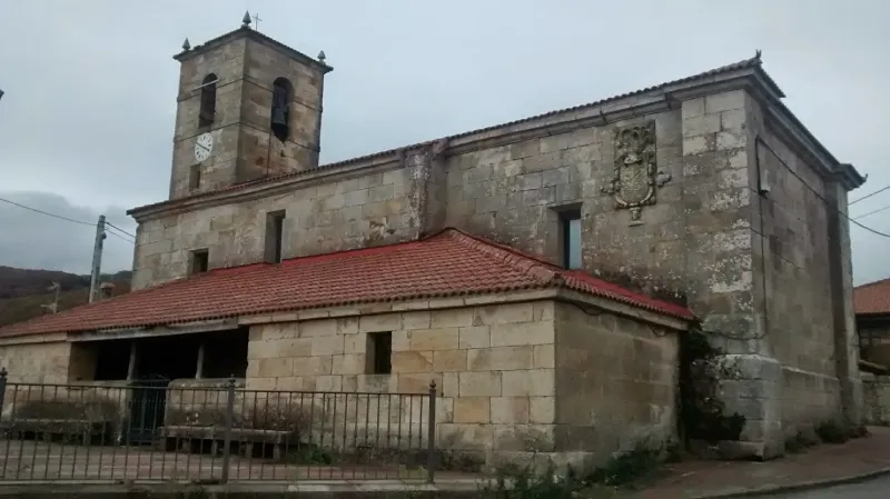
Alsasua → Salvatierra / Agurain
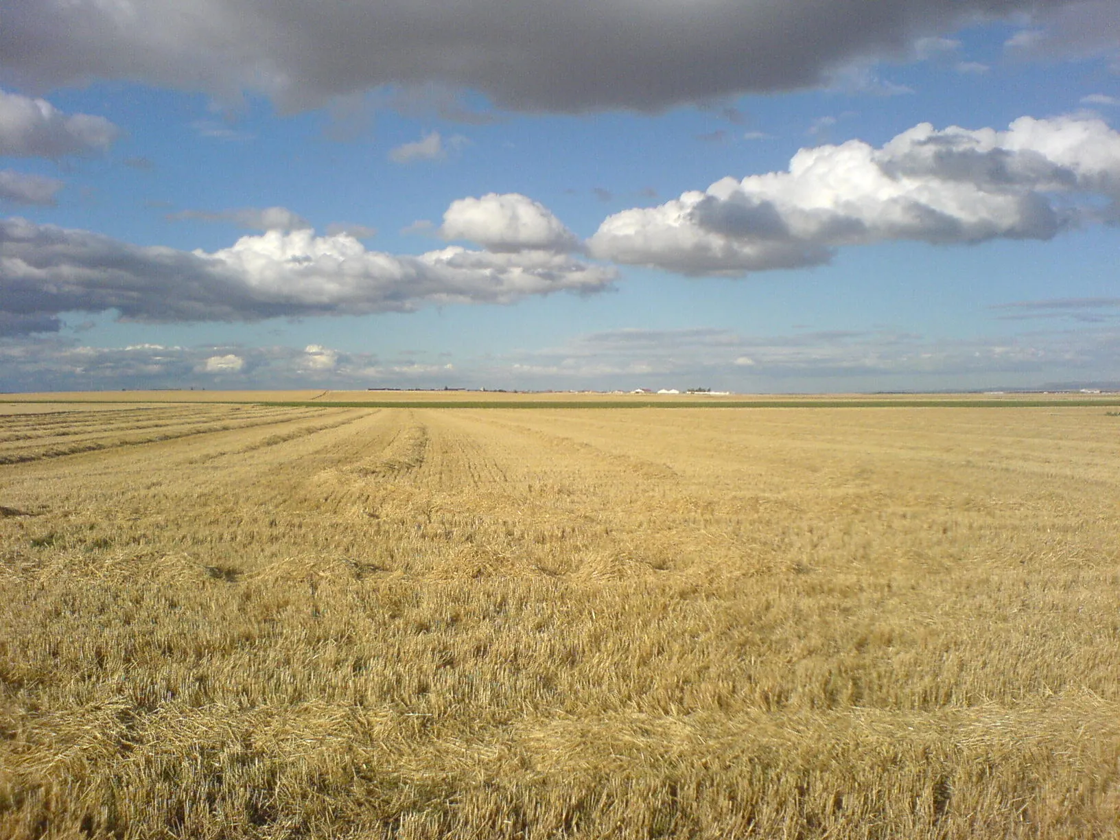
This is one of the longest and most difficult stages of the route, a journey across the vast Manchegan plain. The profile is completely flat, but the distance and monotony of the landscape make it a m...
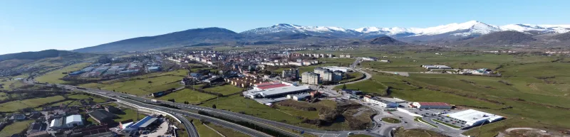
Salvatierra / Agurain → Vitoria-Gasteiz
This stage continues across the Manchegan plain, on a flat terrain with no difficulties. The landscape remains dominated by vineyards and fields of cereals. It is a transitional day that enters the pr...
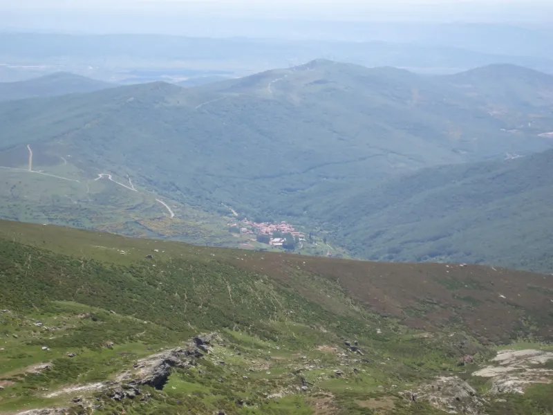
Vitoria-Gasteiz → La Puebla de Arganzón
This is a short and flat stage that enters the heart of La Mancha conquense. The landscape is dominated by vineyards and above all by garlic fields. The arrival in Las Pedroñeras, "The World Capital o...
La Puebla de Arganzón → Salcedo
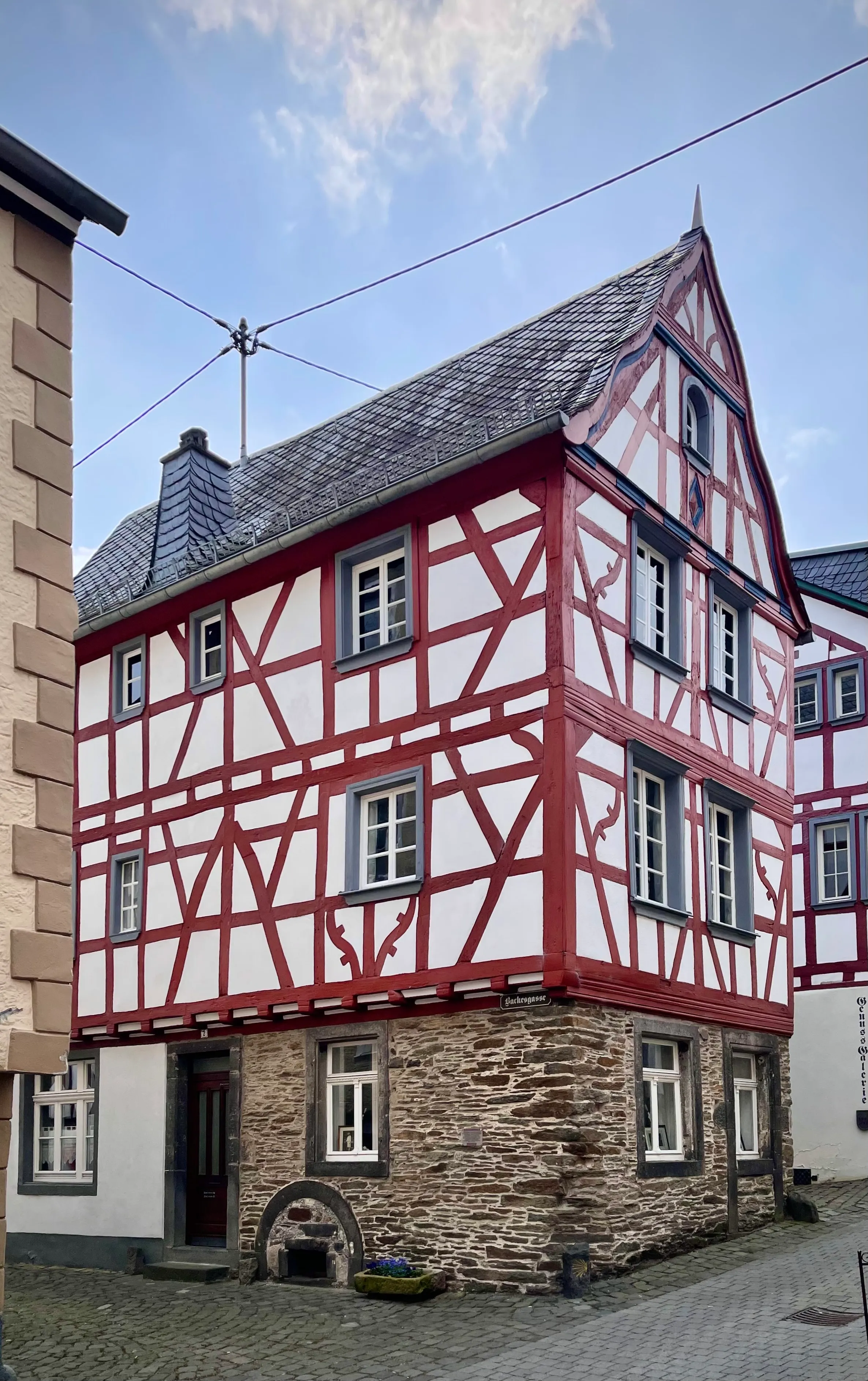
Stage of the Camino de los Austrias, a historical route that follows the movements of the Habsburg dynasty between Madrid and Brussels via Asturias. The 20 km link La Puebla de Arganzón with Salcedo t...
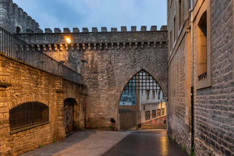
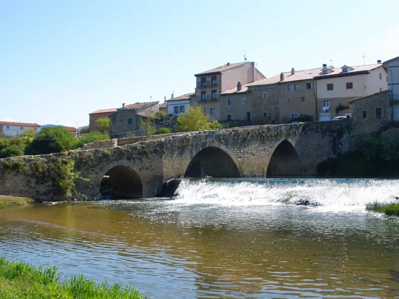
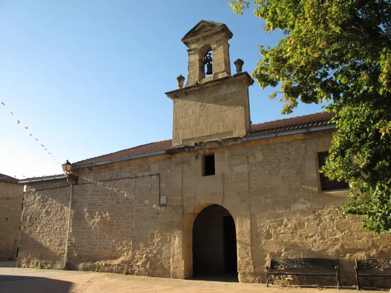
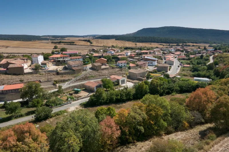
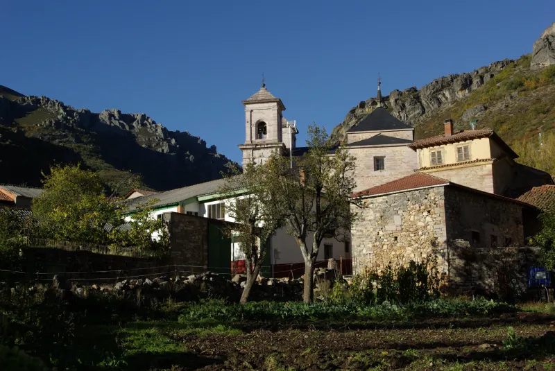
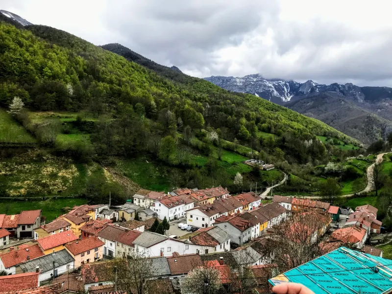
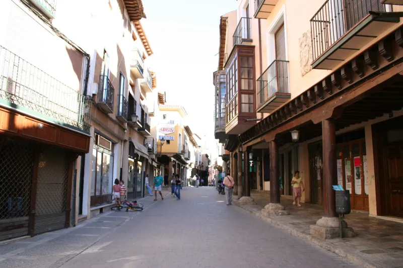
Towns
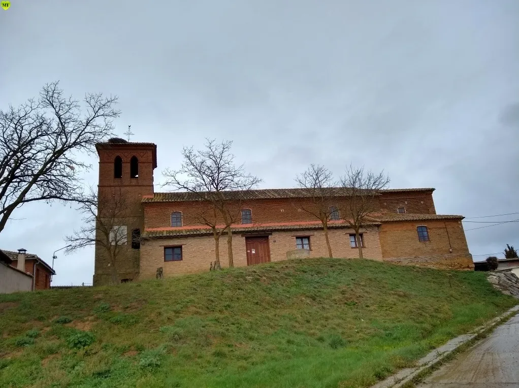
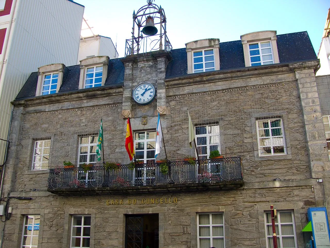
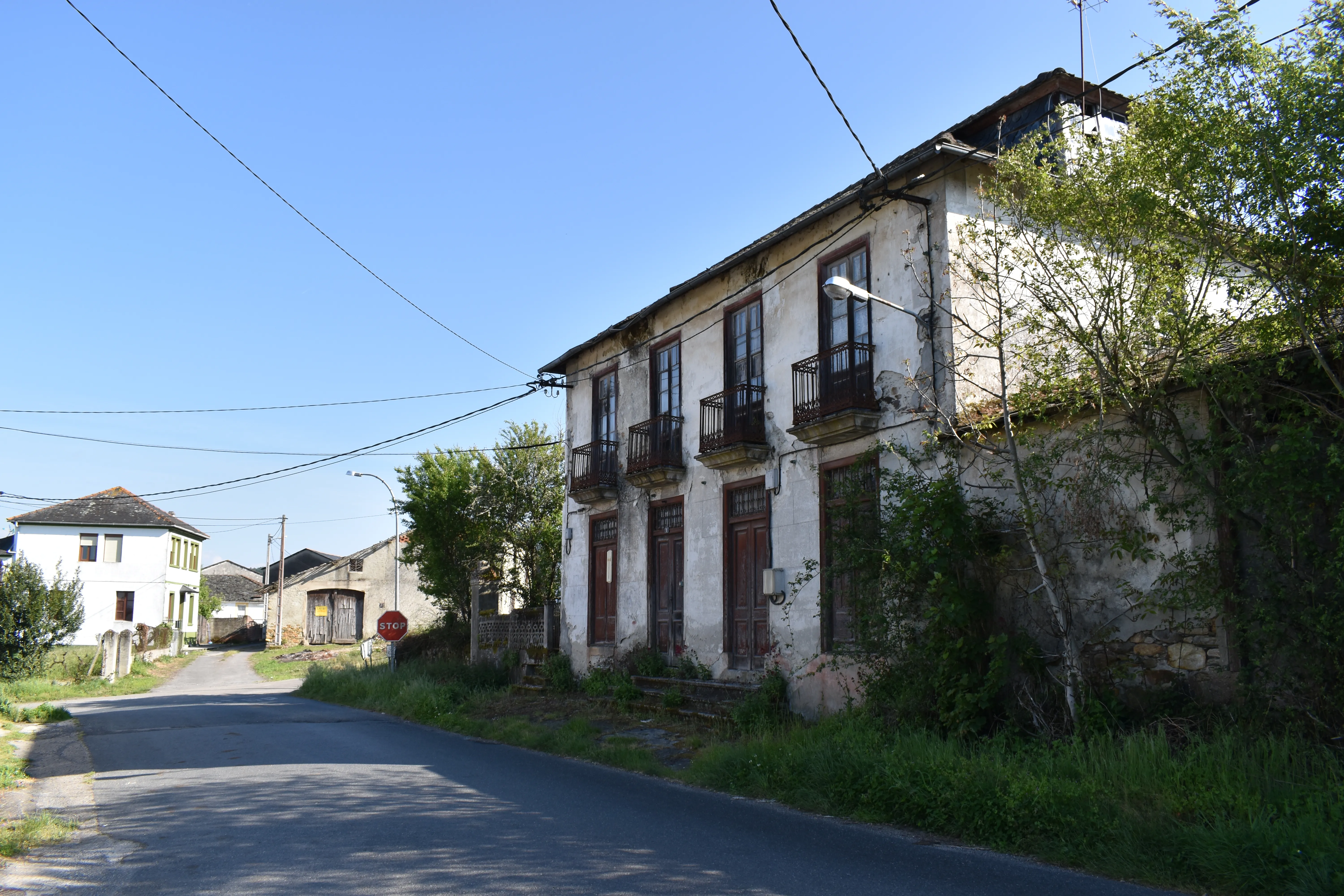
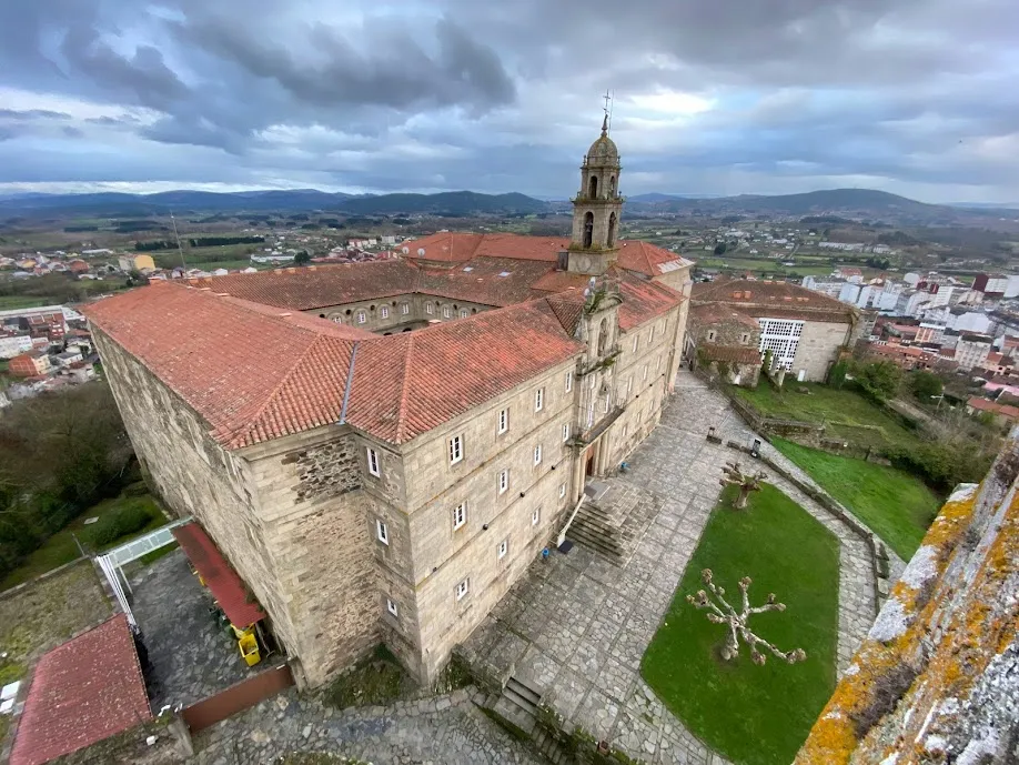
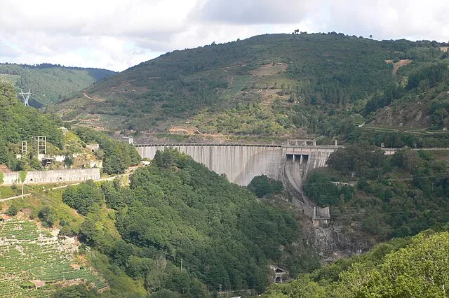
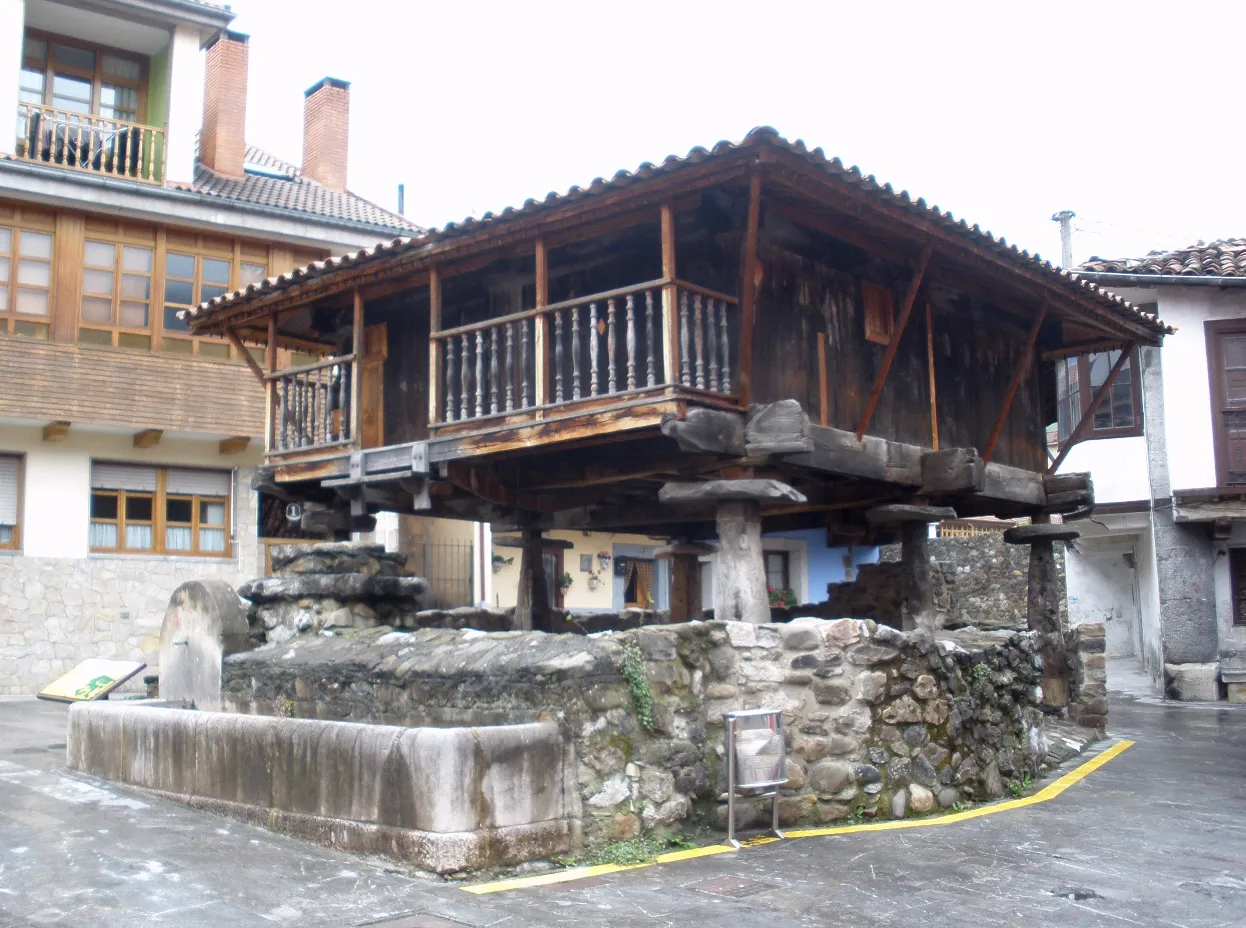
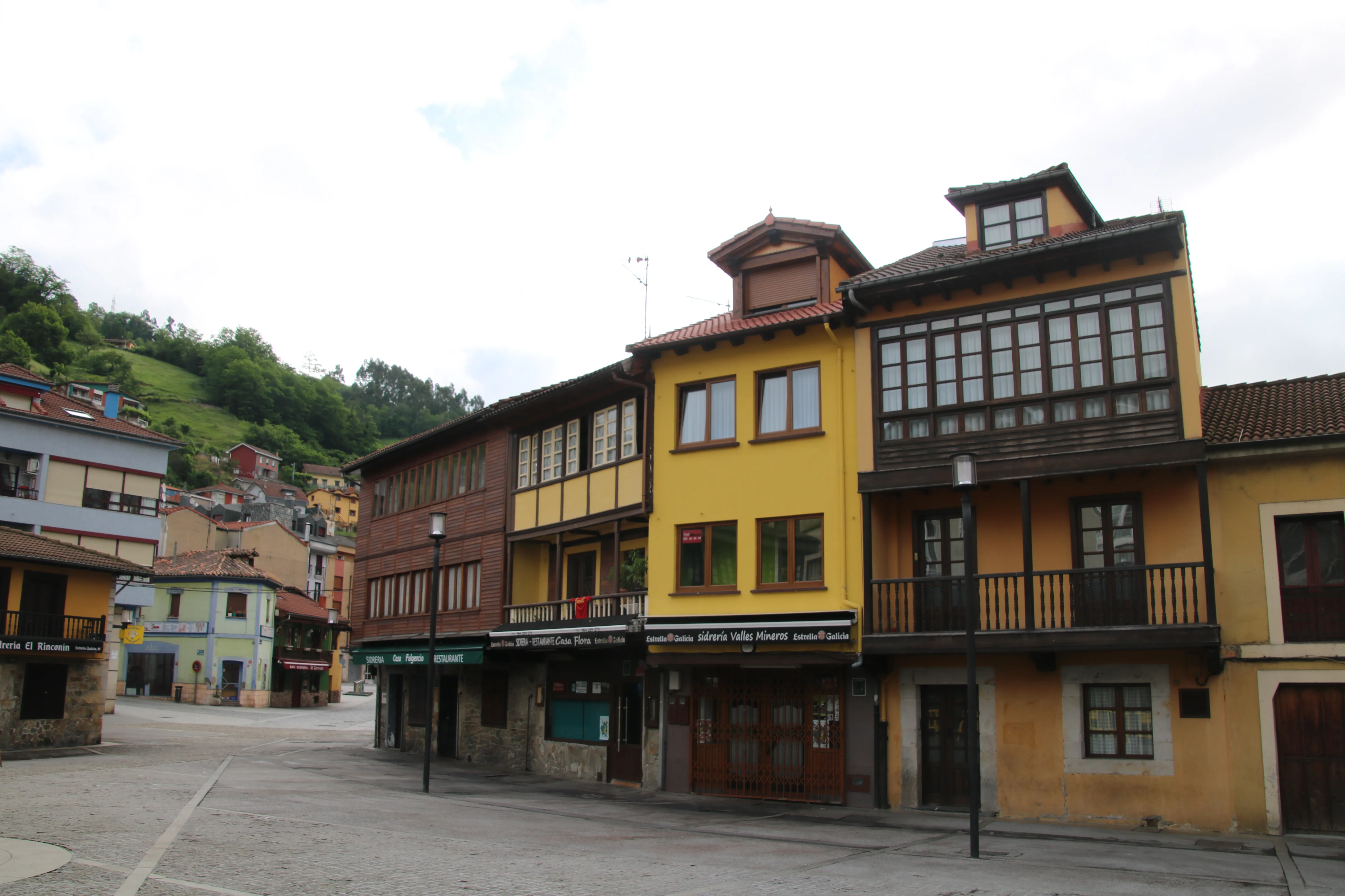
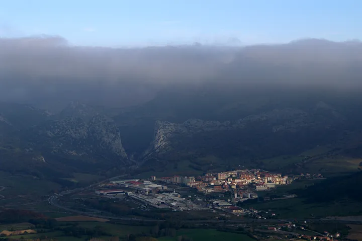
Featured Towns of Way of the Asturias
Explore the key towns and cities of this route.


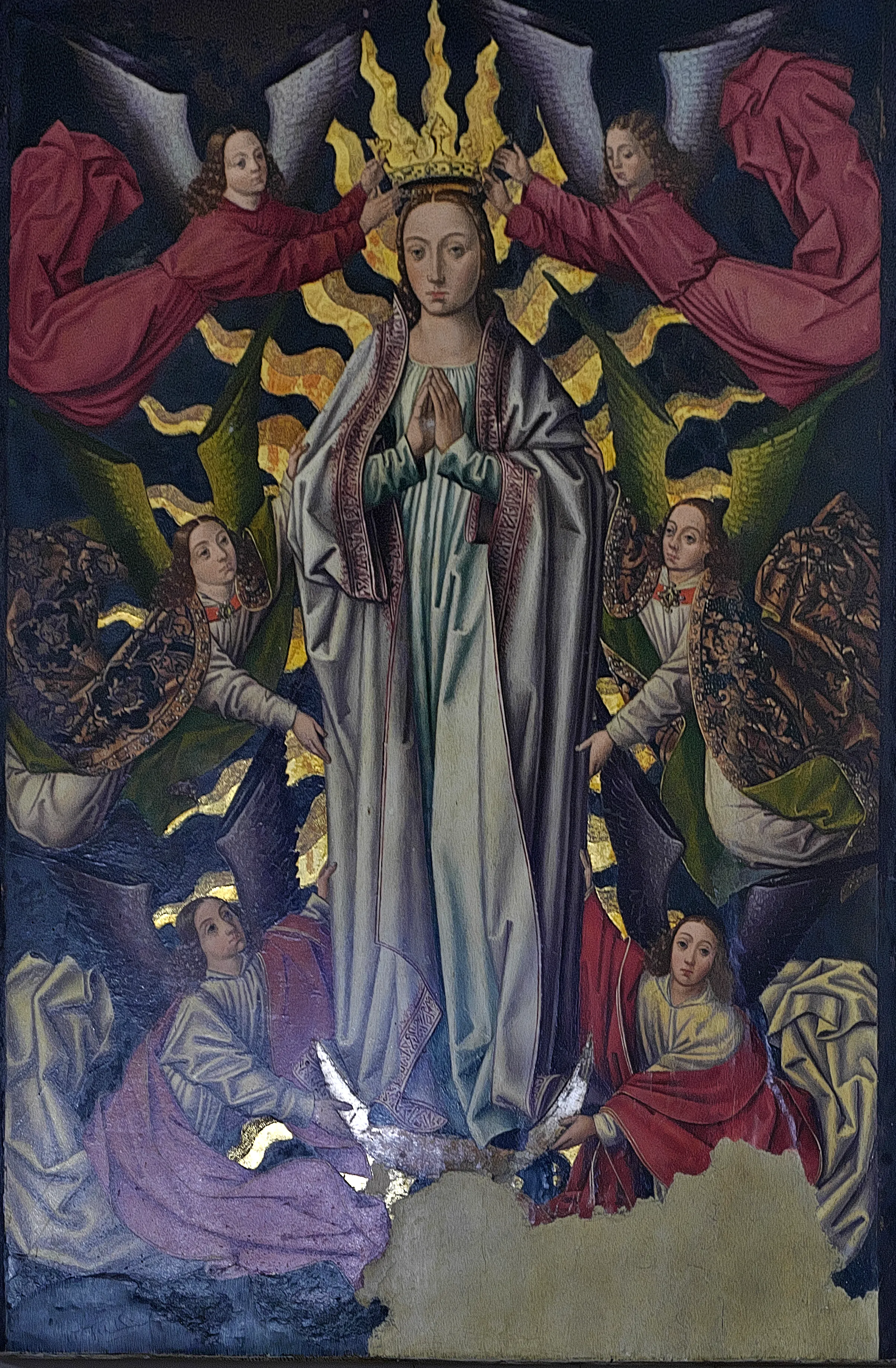
History
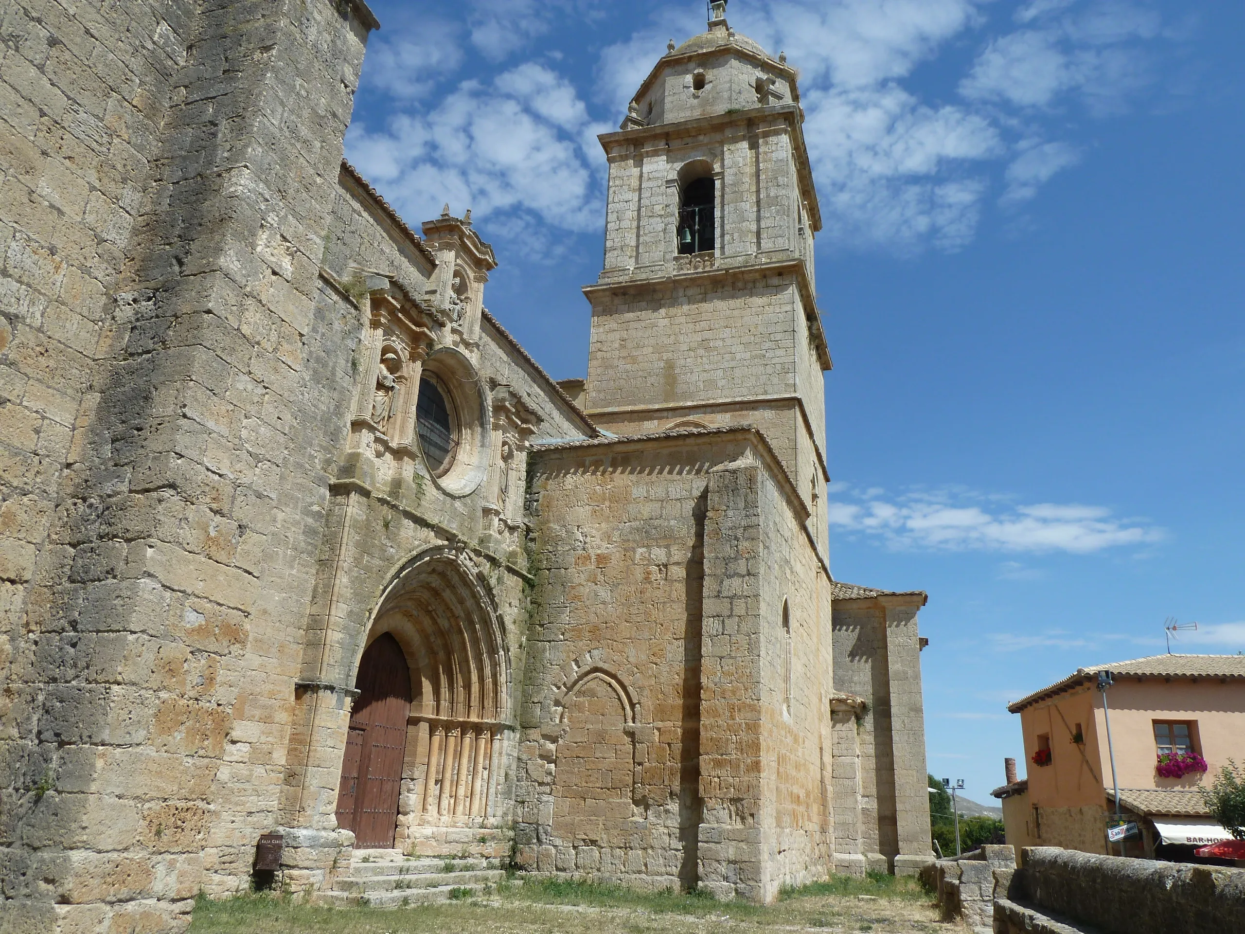
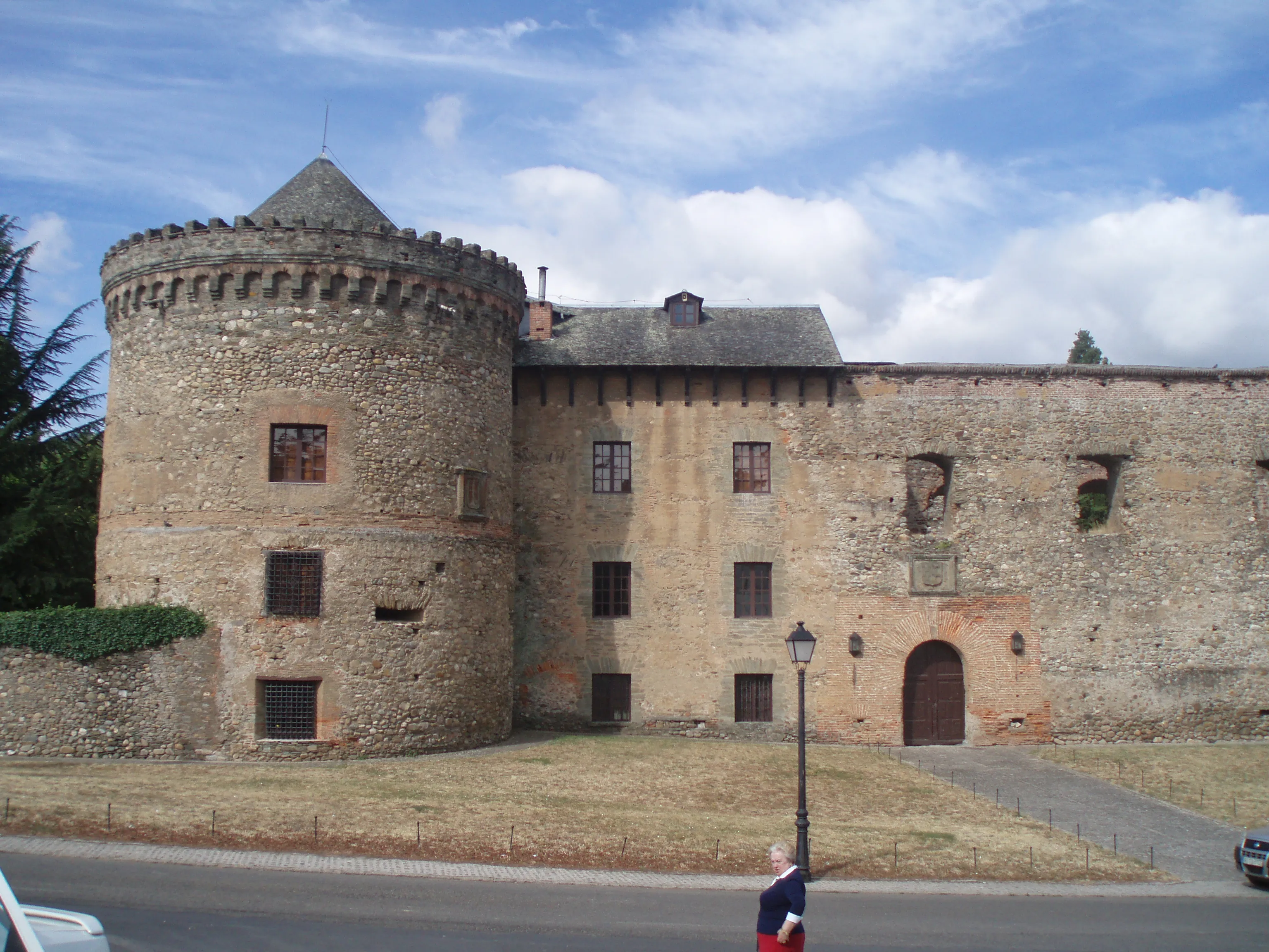
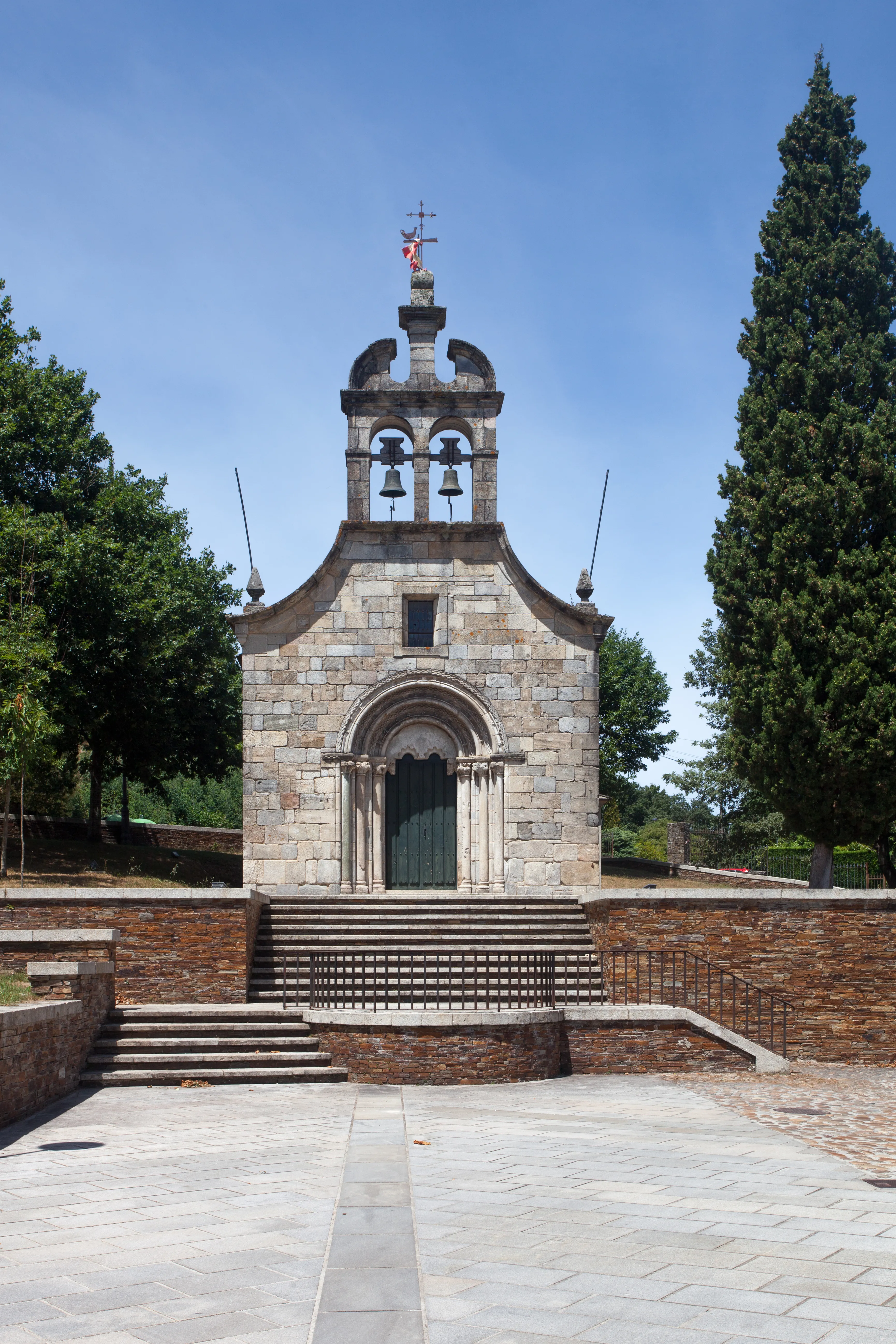
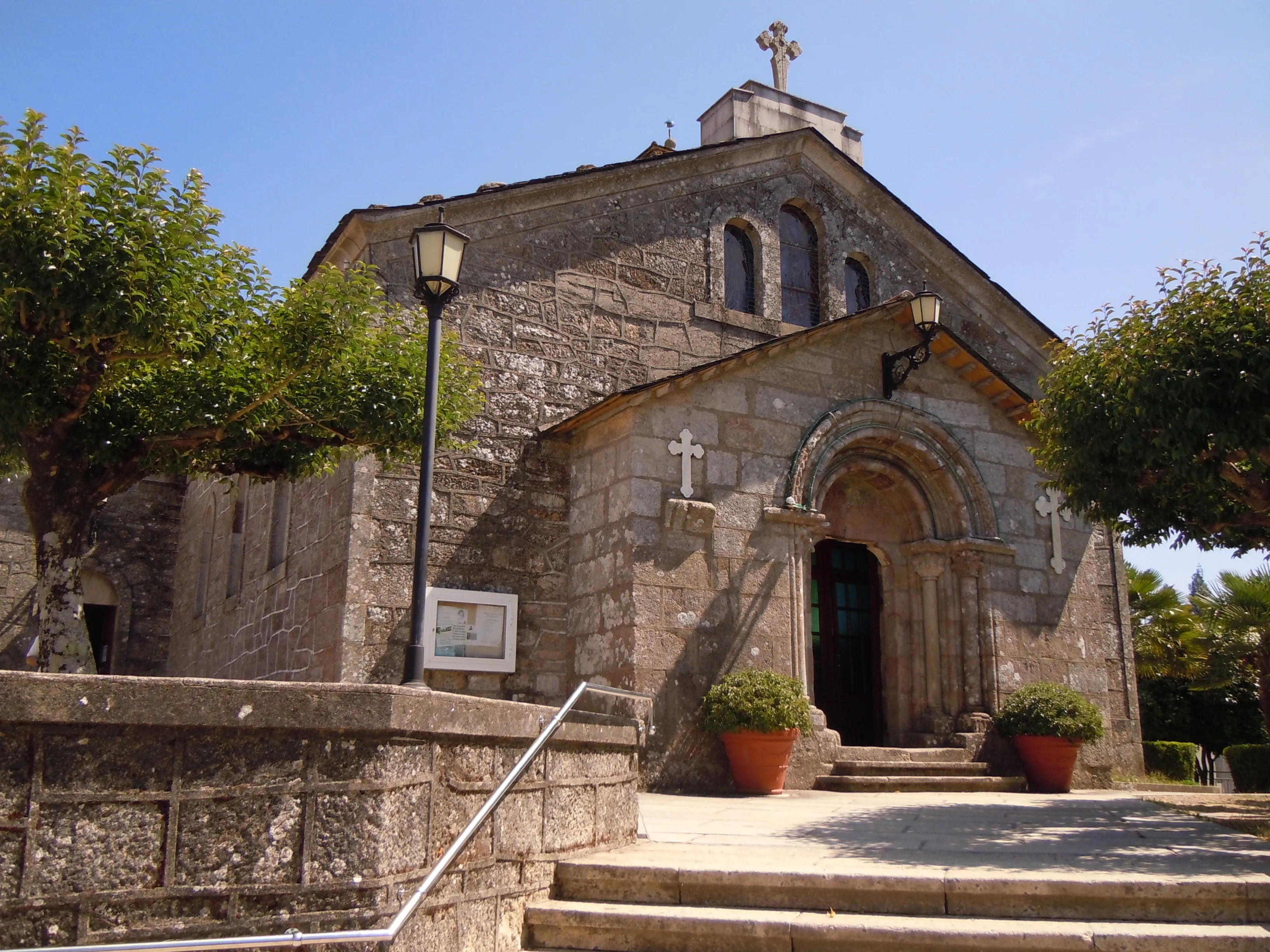
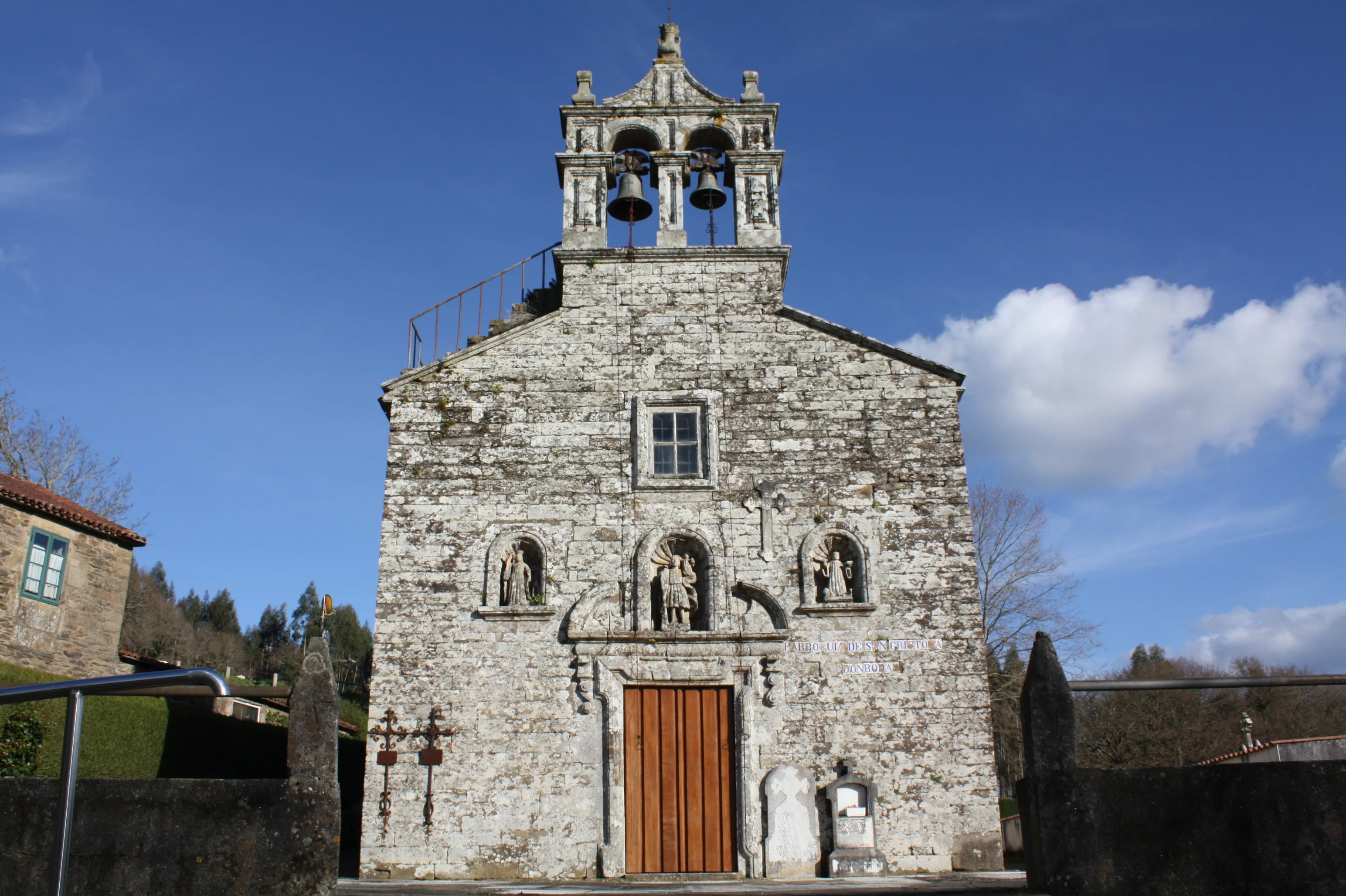
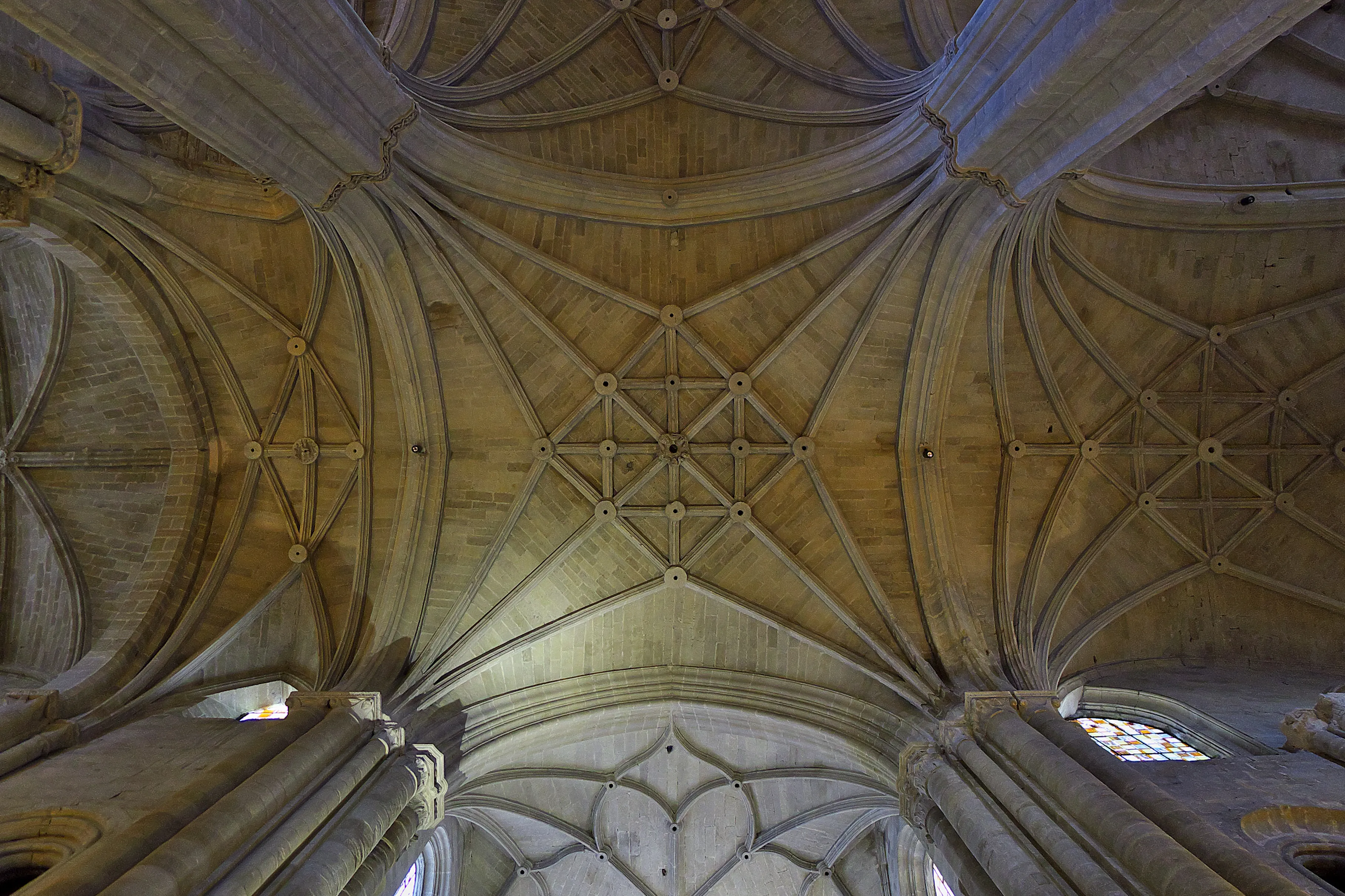
Millenary History of the Camino de Santiago: Origins and Evolution Way of the Asturias
Discover the origins and evolution of Way of the Asturias
Its name alludes to its most illustrious users and its Asturian destination, and its modern revival offers a challenge for adventurous hikers and pilgrims.
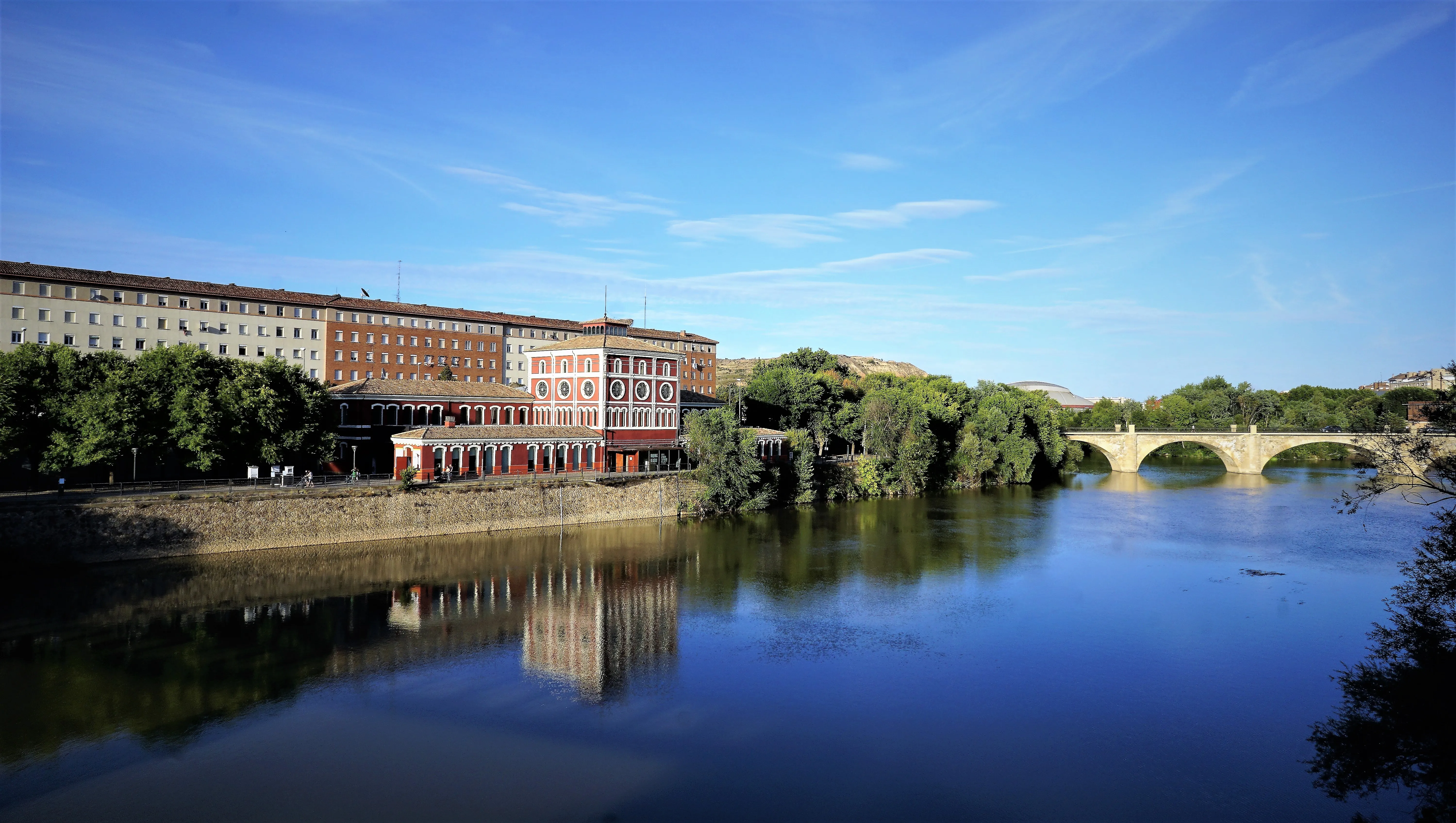
The history of this route must be framed in the 16th and 17th centuries. With the court established in the interior of the peninsula (first in Valladolid and then definitively in Madrid), the monarchs of the House of Austria needed secure and efficient routes to travel to their vast possessions in northern Europe, especially in Flanders. To do this, they had to reach Cantabrian ports such as Laredo, Santander or Gijón, from where they would embark.
Instead of following the more direct but perhaps longer routes, they often used these interior roads, which traversed the imposing Cordillera Cantábrica.
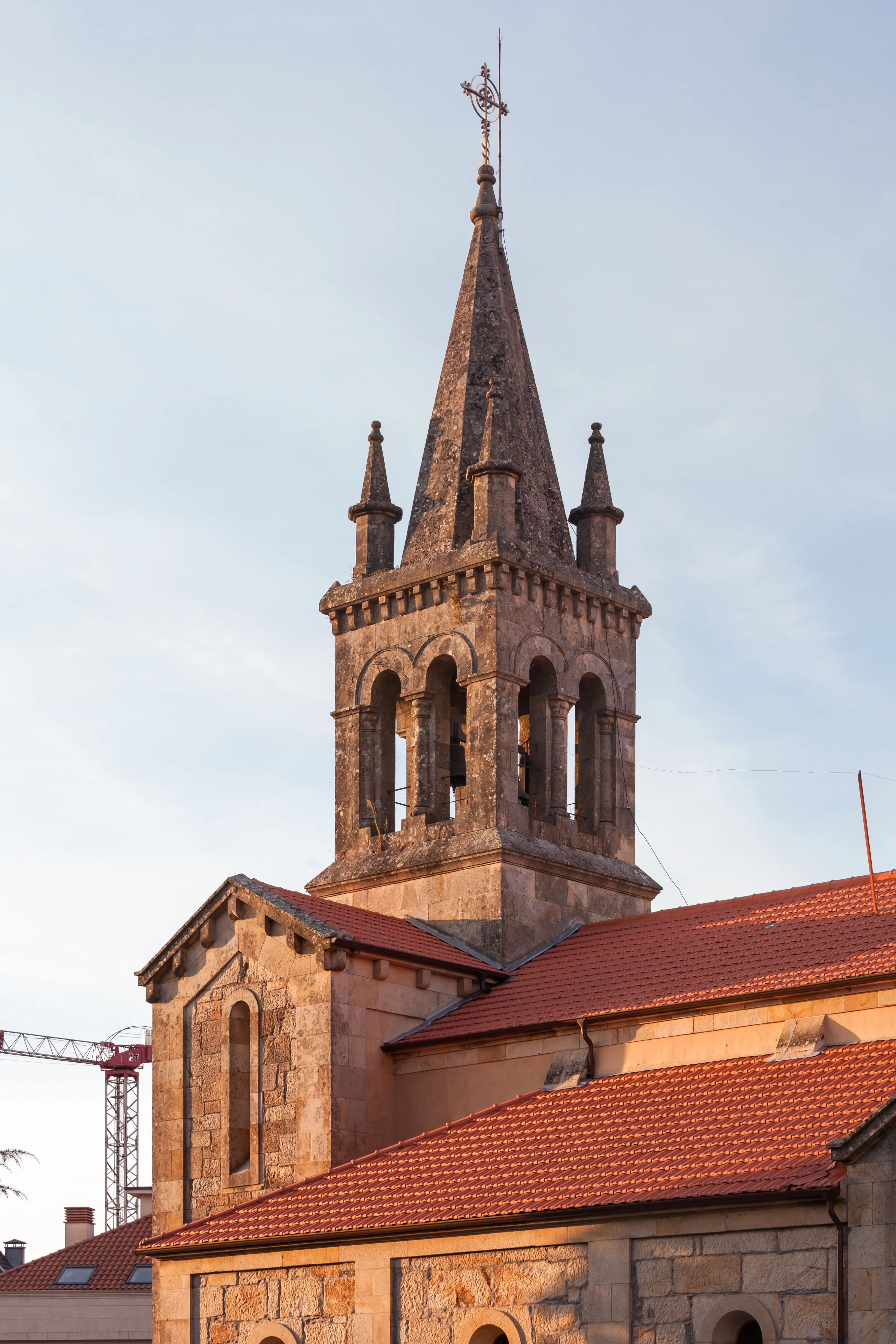
The most famous historical episode associated with this network of roads is the last journey of Emperor Charles V. In 1556, after abdicating his thrones, the man most powerful in the world disembarked in Laredo (Cantabria) to begin his final retirement at the Monastery of Yuste, in Extremadura. His journey towards the Meseta was made through these difficult mountain roads, an itinerary that has left its mark on memory as "The Emperor's Route". His son, Felipe II, also traversed these paths in his numerous travels.
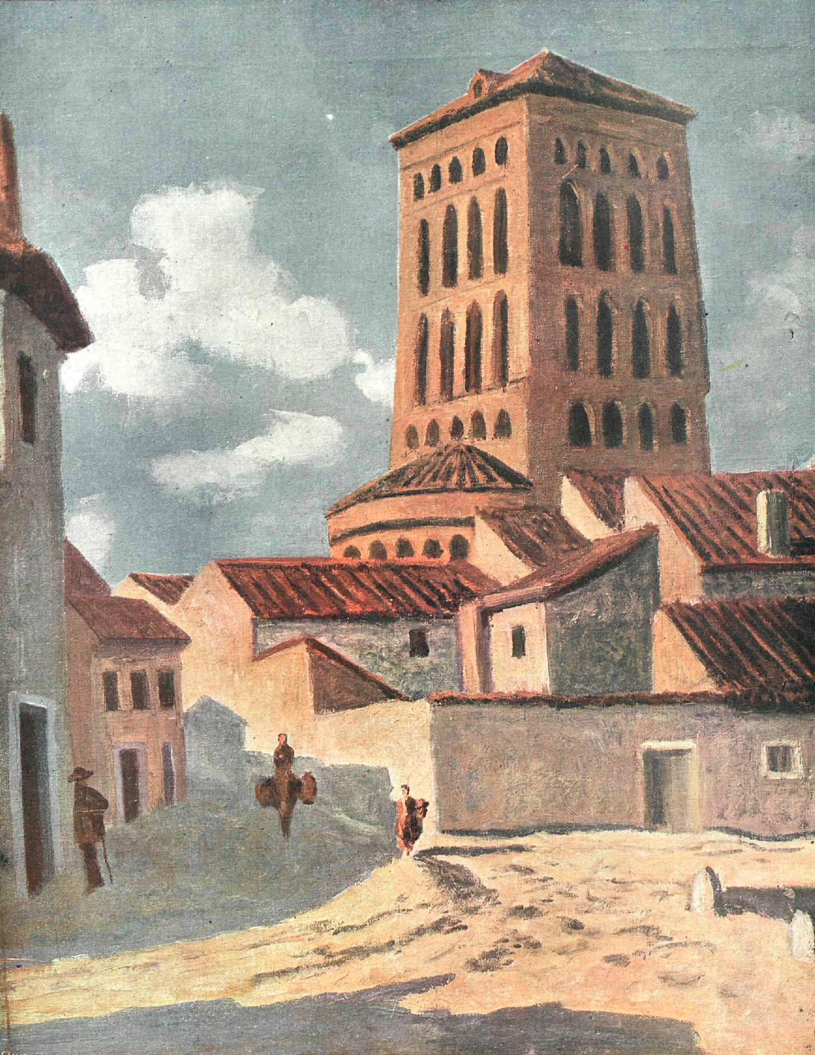
In the context of pilgrimages to Santiago, The Way of Asturias does not have a historical tradition of its own as a continuous Jacobean route. Its value lies in its function as a possible and extremely demanding link between two of the most important Jacobean axes: the Camino Francés and the Camino Primitivo. A medieval or Renaissance traveler - perhaps a noble, a soldier or a pilgrim with a special mission - could have used this network of roads to travel from Pamplona, a key point on the Camino Francés, to Oviedo, the cradle of the Camino Primitivo and seat of the revered relics of the Cathedral of Salvador.
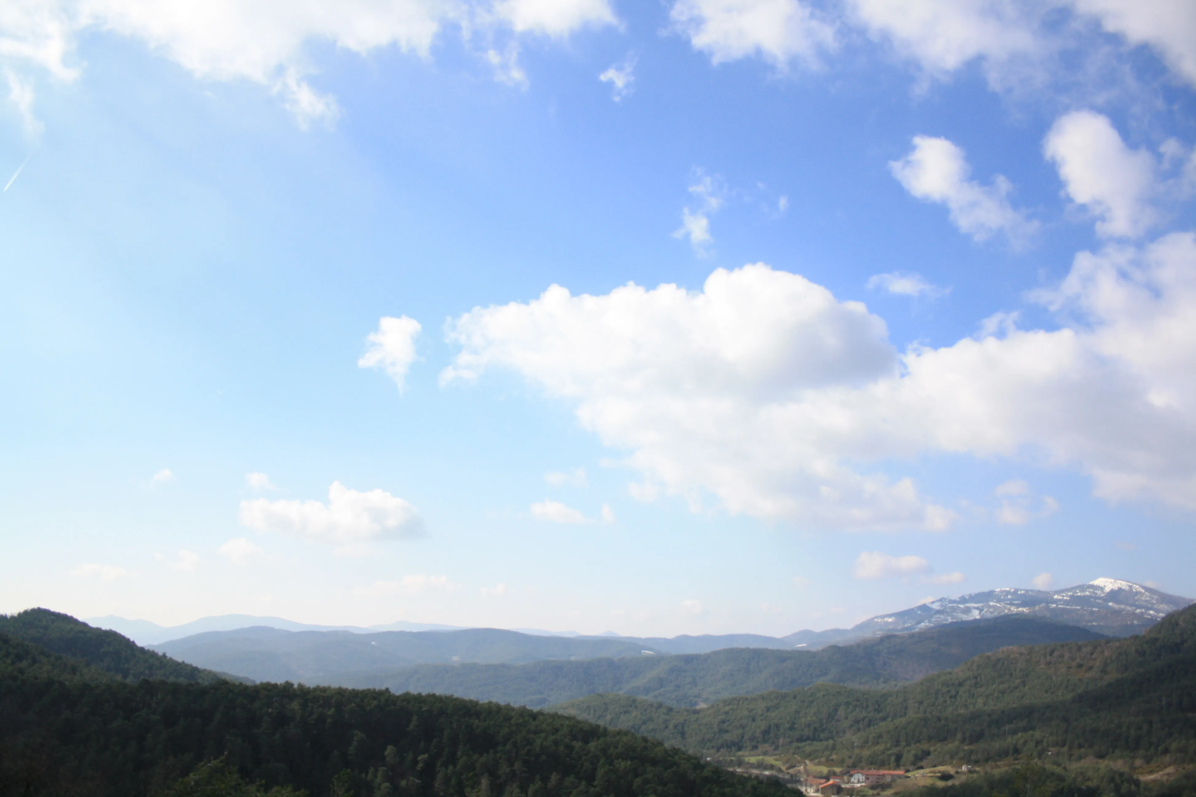
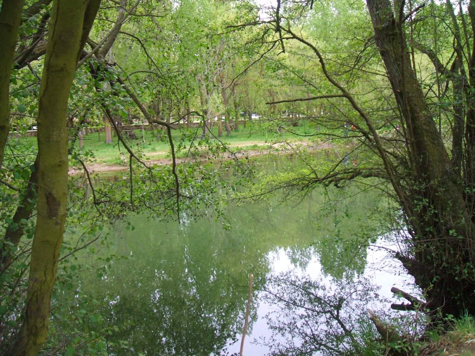
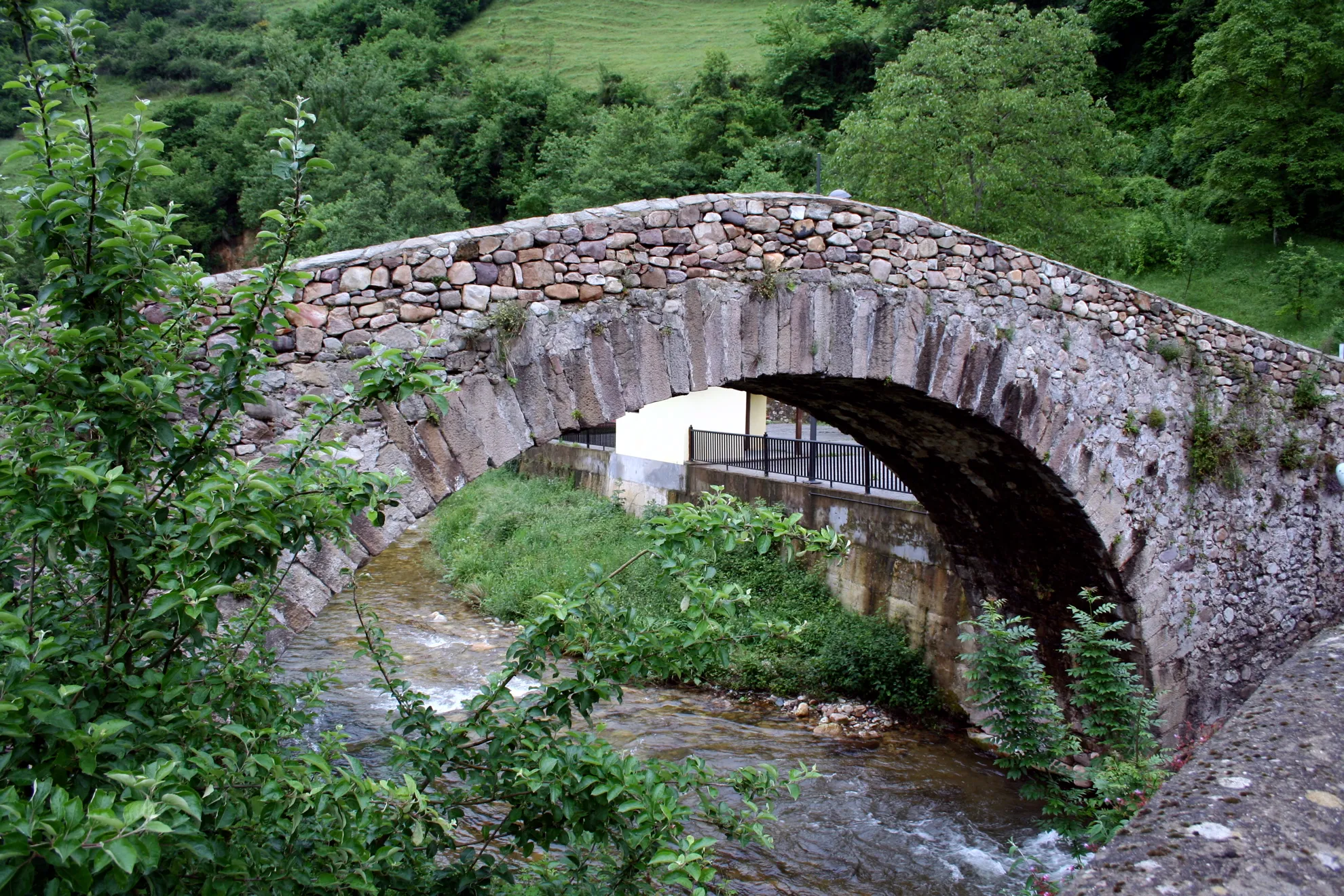
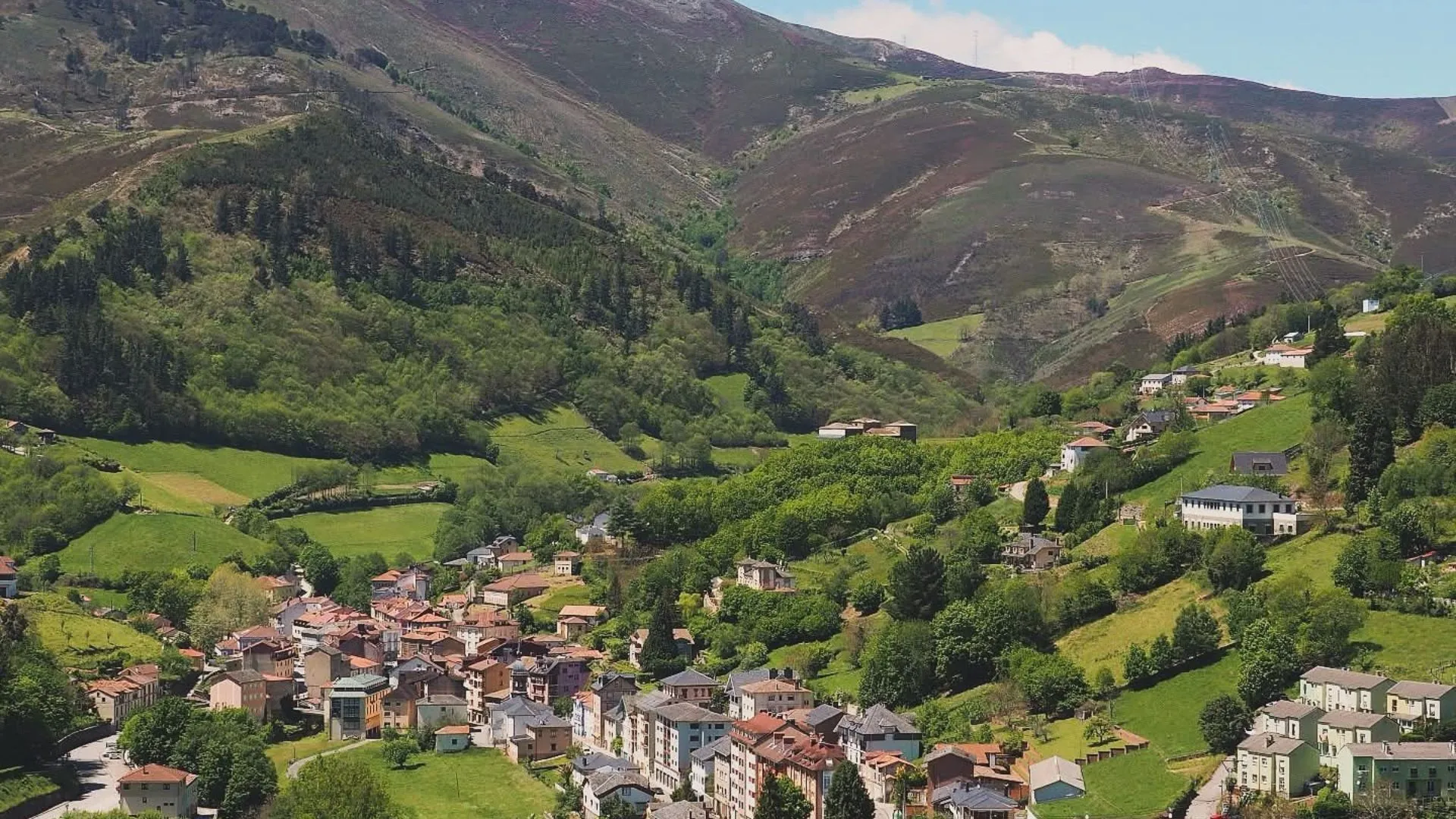
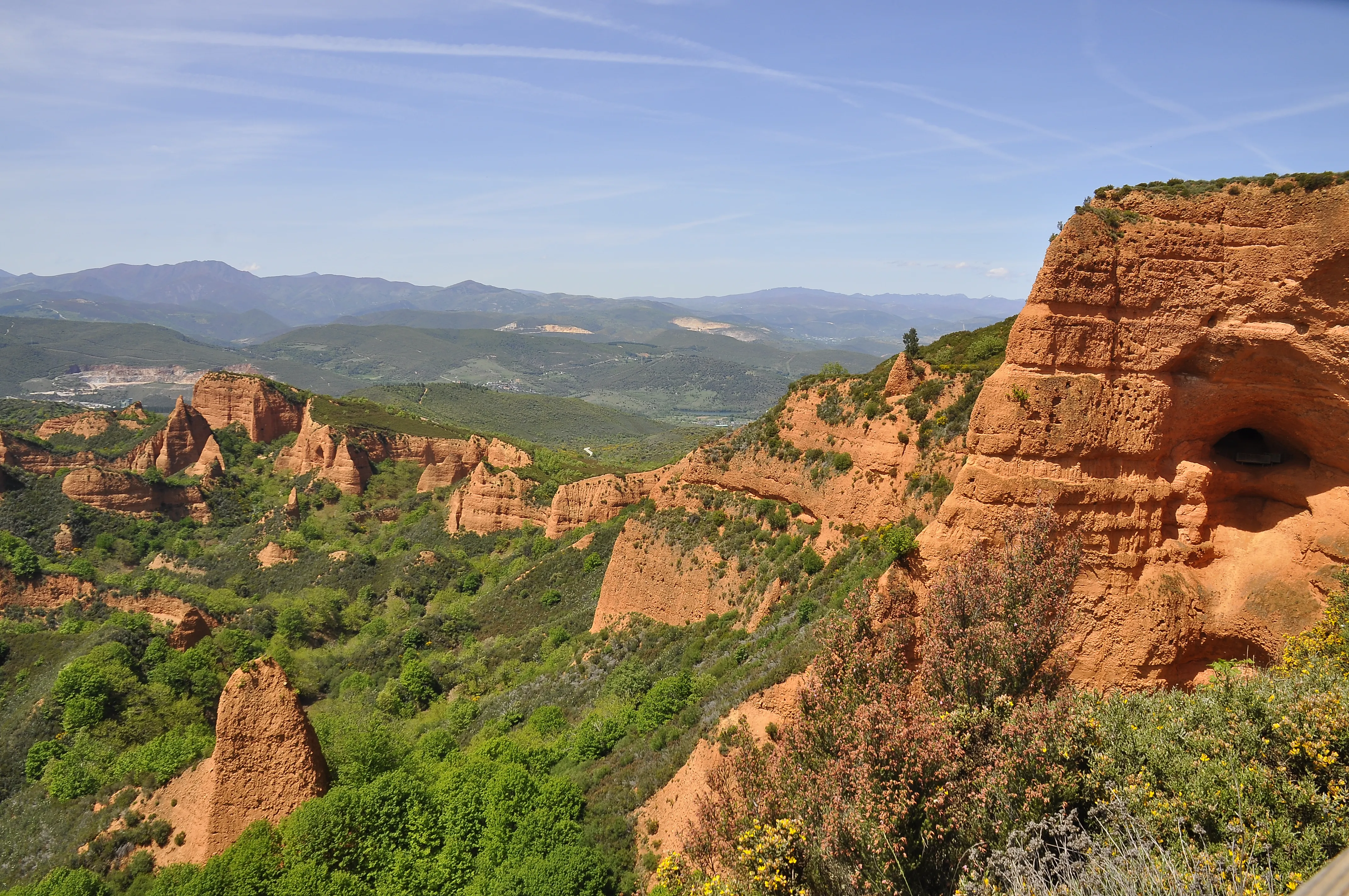
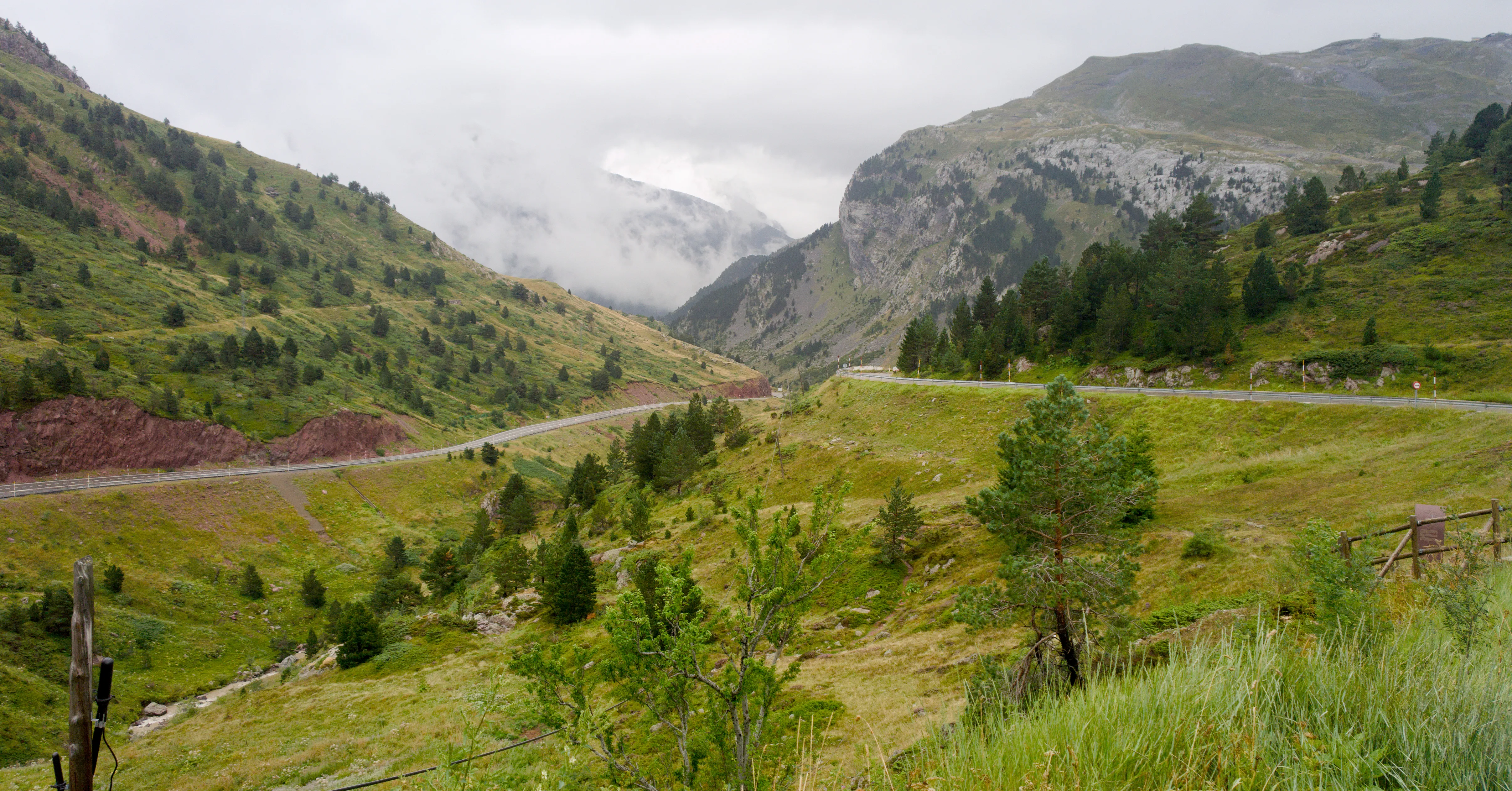
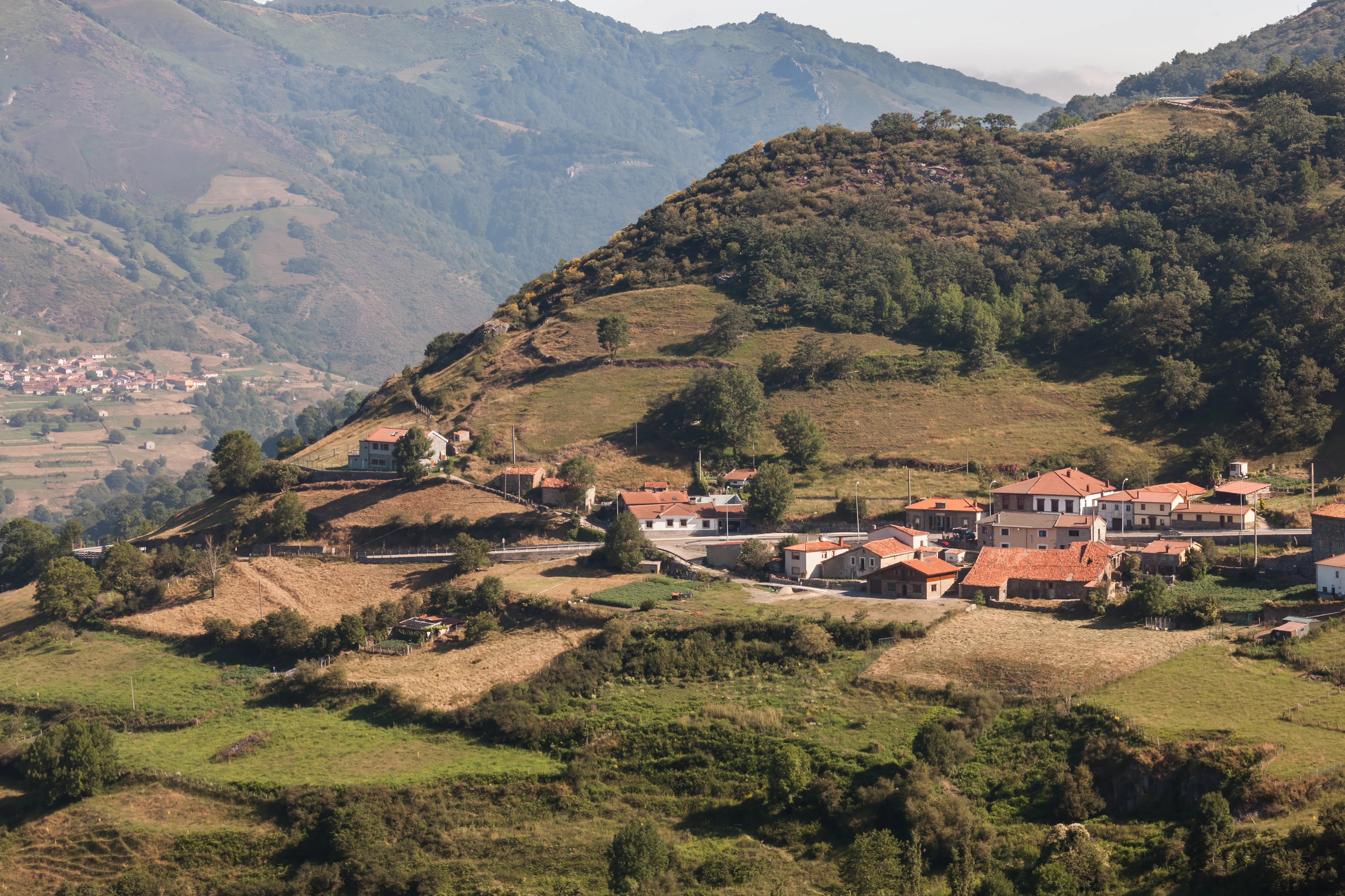
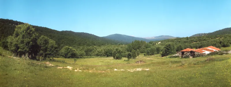
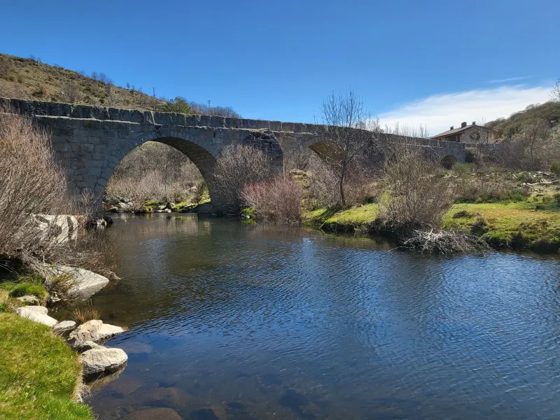
The route's layout is a massive challenge. It traverses the heart of the Cordillera Cantábrica, using ancient Roman roads such as the famous "Royal Road of the Mesa" in Asturias, which runs through the peaks of the mountains, and medieval royal roads. It is an itinerary of high mountain, with large drops, spectacular landscapes and deep isolation in many of its stretches.
Its configuration as a single route of long-distance hiking is, to a great extent, a modern reconstruction, a project that aims to unite these different historical tracts (The Emperor's Route, the Royal Road of the Mesa, etc.) into a single itinerary. It does not have the density of pilgrim hospitals or Jacobean sanctuaries of other routes, as its original purpose was more civil and military than religious.
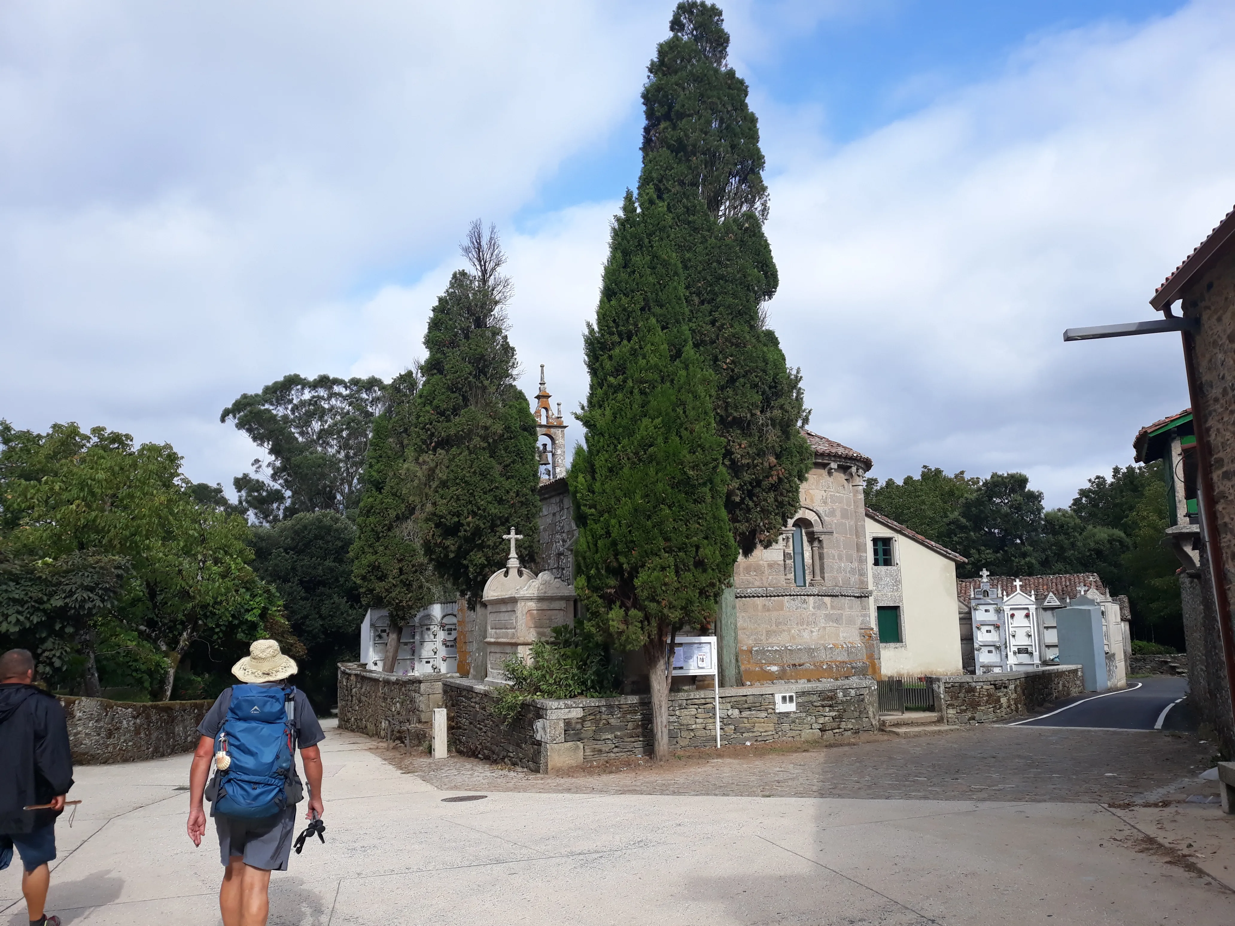
Today, The Way of Asturias attracts a specific profile of hiker: long-distance hikers, history lovers and mountain enthusiasts, and pilgrims seeking absolute solitude and a first-class physical challenge. It is an immersion in the history of kings and in the wild and virgin nature of northern Spain, a way to connect Pamplona and Oviedo through the most difficult and perhaps for that reason, most rewarding route.
We answer your questions
Frequently Asked Questions about Way of the Asturias
How long does the Camino de las Asturias take?
The Camino de las Asturias is estimated to last for 22 days, allowing pilgrims to fully enjoy its natural beauty and physical challenge. At Ourway Travel, we manage your itinerary to ensure the best experience in every stage.
What is the difficulty level of the Camino de las Asturias?
The Camino de las Asturias is characterized by its high difficulty due to the mountainous terrain it covers. This route is ideal for adventurous and experienced pilgrims seeking a challenge. At Ourway Travel, we help you prepare adequately.
What is the best time of year to do the Camino de las Asturias?
The best period to undertake the Camino de las Asturias is from April to June and September until October, when you can enjoy a mild climate and fewer pilgrims. During these times, you will be able to appreciate stunning landscapes in perfect balance between natural beauty and comfort.
How much does it cost to do the Camino de las Asturias with Ourway Travel?
The costs for doing the Camino de las Asturias with Ourway Travel vary depending on the services chosen, but include accommodation in selected hotels and hostels, luggage transfer between stages, and a detailed route guide. For a personalized budget, please contact our team directly.
What does the Ourway Travel package for the Camino de las Asturias include?
The complete Ourway Travel package for the Camino de las Asturias includes accommodation in selected hotels and hostels, daily luggage transfer between stages, as well as a detailed guide on the route and its historical and cultural points of interest. Additionally, we offer personalized advice to prepare you adequately.
How does the Camino de las Asturias compare to other routes of the Way of St. James?
The Camino de las Asturias stands out for its greater physical challenge and natural beauty, offering a historical and mountainous route that contrasts with more urban paths like the French Way. It is ideal for adventurous pilgrims seeking a unique and challenging experience. At Ourway Travel, we help you choose the route that best fits your expectations.
Which is the better option between the Camino de las Asturias and the Primitivo Way?
Both routes offer unique experiences, but the Camino de las Asturias is more challenging due to its mountainous terrain, while the Primitivo provides a balance between natural beauty and history. Your choice will depend on your personal preferences: if you enjoy natural challenges, choose the Asturias; for a varied experience with historical cities, the Primitivo is ideal.
How do I obtain my pilgrim credential and what is its importance?
To get the pilgrim's credential for the Camino de las Asturias, you can visit any tourist office in Pamplona or Oviedo at the start of your journey. This credential is essential as it identifies you as a pilgrim and may be required for free accommodation in hostels. At Ourway Travel, we provide guidance on how to manage it during your trip.
Organize Your Camino
Ready for this adventure?
Way of the Asturias