Camino de Santiago
East Coast Road
The Levante Way connects Valencia with the Via de la Plata in Zamora. A long and demanding route that crosses the Meseta Central, linking the Mediterranean to the heart of Castile.
Organize your East Coast RoadLast updated: 21/05/2025
The Route
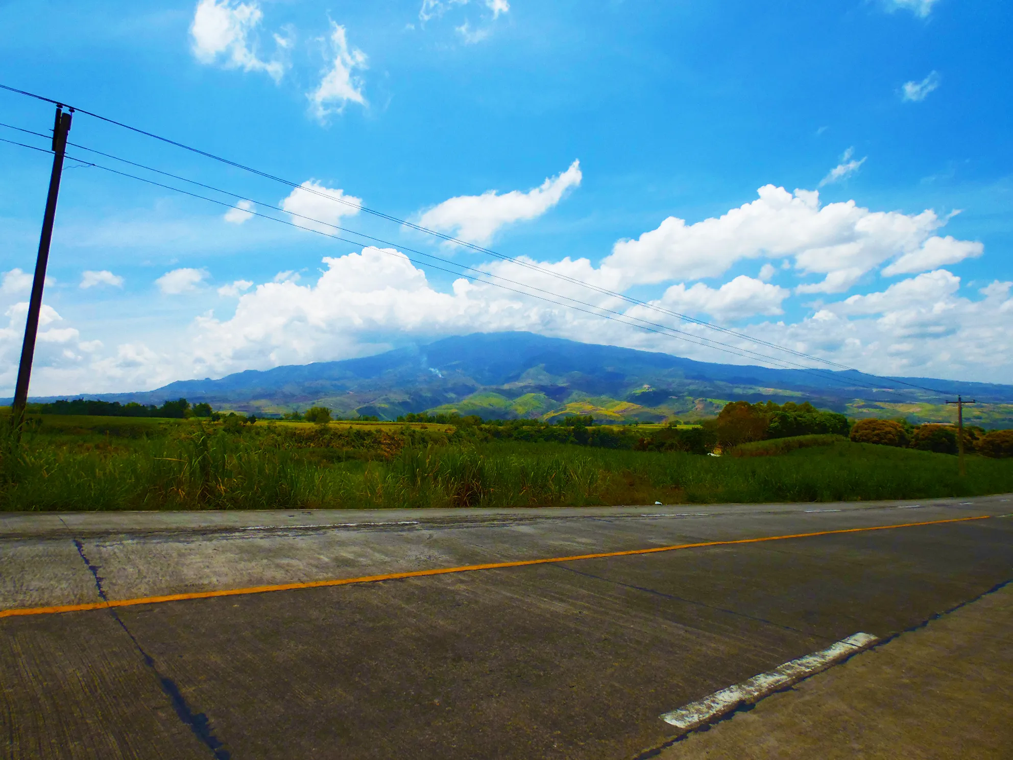
General Description of East Coast Road
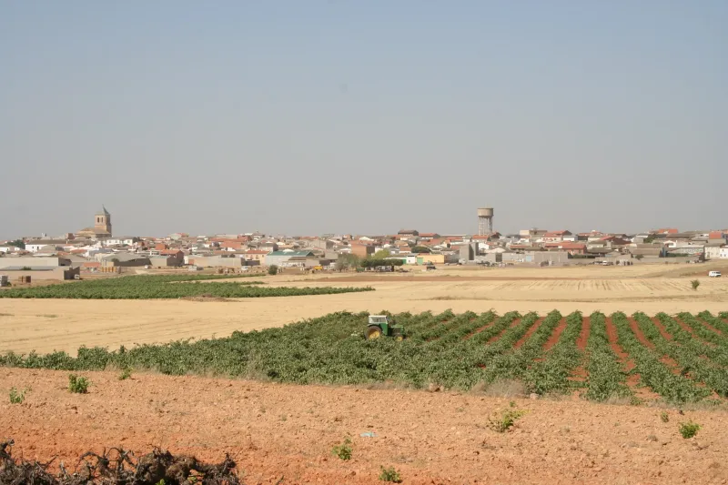
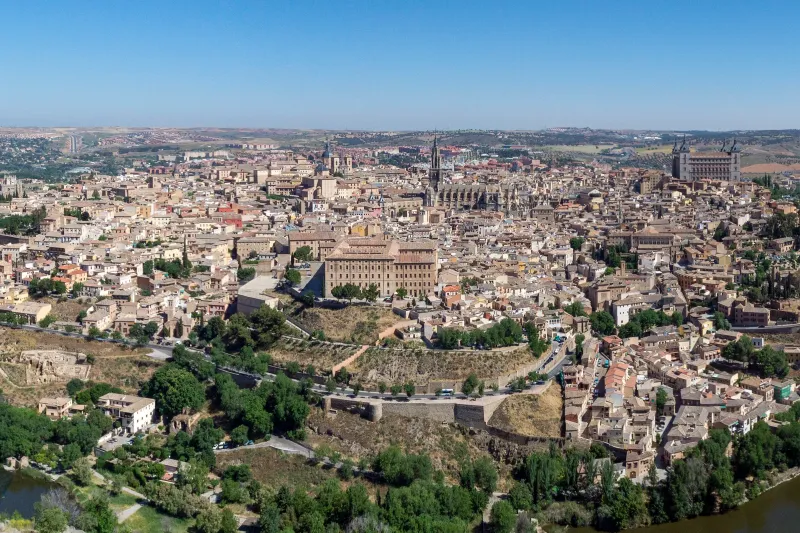
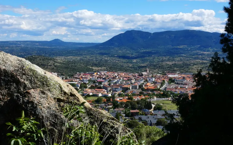
It is a long and demanding route, especially in summer. It offers a deep immersion into interior Spain, with its vast landscapes and historic cities like Toledo and Ávila. Due to its length and the variability of services in some areas, it requires excellent planning.
Related Routes
Connections of East Coast Road
Way of the Plate
963.6 km
38
High
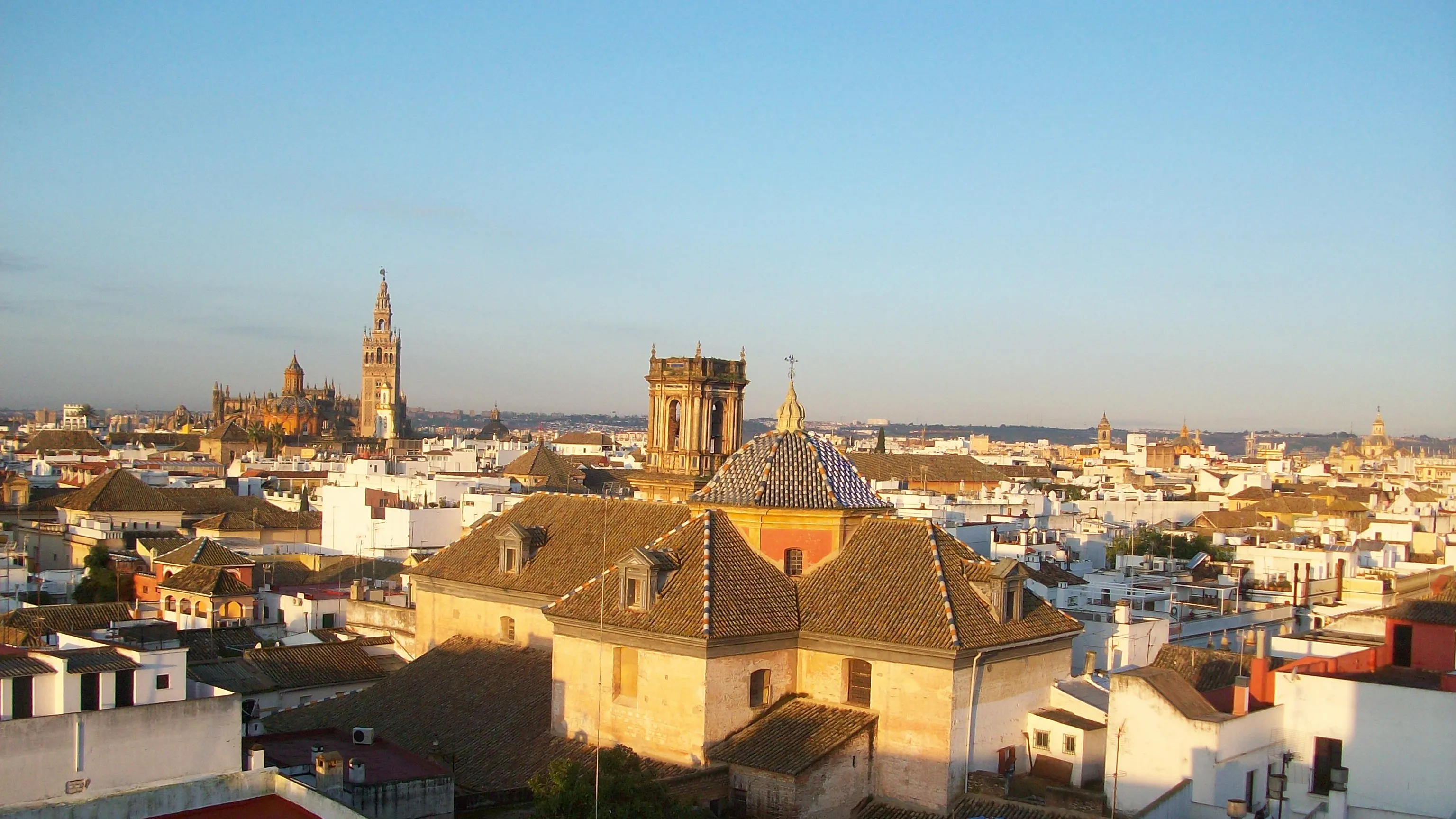
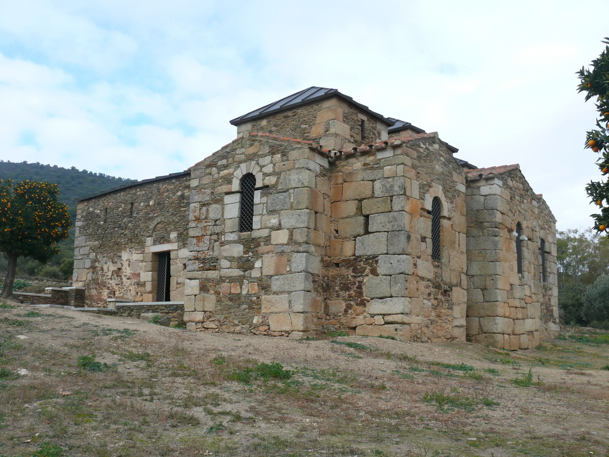
The Silver Way (La Vía de la Plata) is the longest of the Camino de Santiago paths in Spain, with almost 1000 km. Its route, which starts in Seville, largely follows the ancient Roman road that connected Mérida to Astorga. It traverses Andalusia, Extremadura and Castile and León, offering pilgrims two options in Granja de Moreruela (Zamora): continue on to Astorga to link with the French Way or take the Sanabrés Way directly to Galicia.
It is a route of immense historical and monumental wealth. Due to its length and high temperatures in its southern section, it requires excellent planning. It offers diverse landscapes, from the extreme dehesas to the plains and mountains of Castile and León.
Stages of this variant:
Stage 1: Seville to Guadahortuna
Stage 2: Guillena to Castilblanco de los Arroyos
Stage 3: Castileja del Pinar to Almaden de la Plata
Stage 4: Mondovino to Monestier-de-Clermont
Stage 5: Monastery at Fuente de Cantos


Route of the Argar
400 km
13
High
The Argar Route is a pilgrimage path that originates in Lorca (Murcia) and heads northwest to link with the Levante Way in Albacete province. This 400 km route allows pilgrims from the Region of Murcia to connect with major interior routes.
Stages of this variant:

Stage 1: Lorca to Zarcilla de Ramos
Stage 2: Zarcilla de Ramos to La Encarnación (Caravaca de la Cruz)

Stage 3: La Encarnación (Caravaca de la Cruz) to Moratalla
Stage 4: Moratalla to Socovos
Stage 5: Socovos to Elche de la Sierra


Manchegan Way
113 km
5
Media
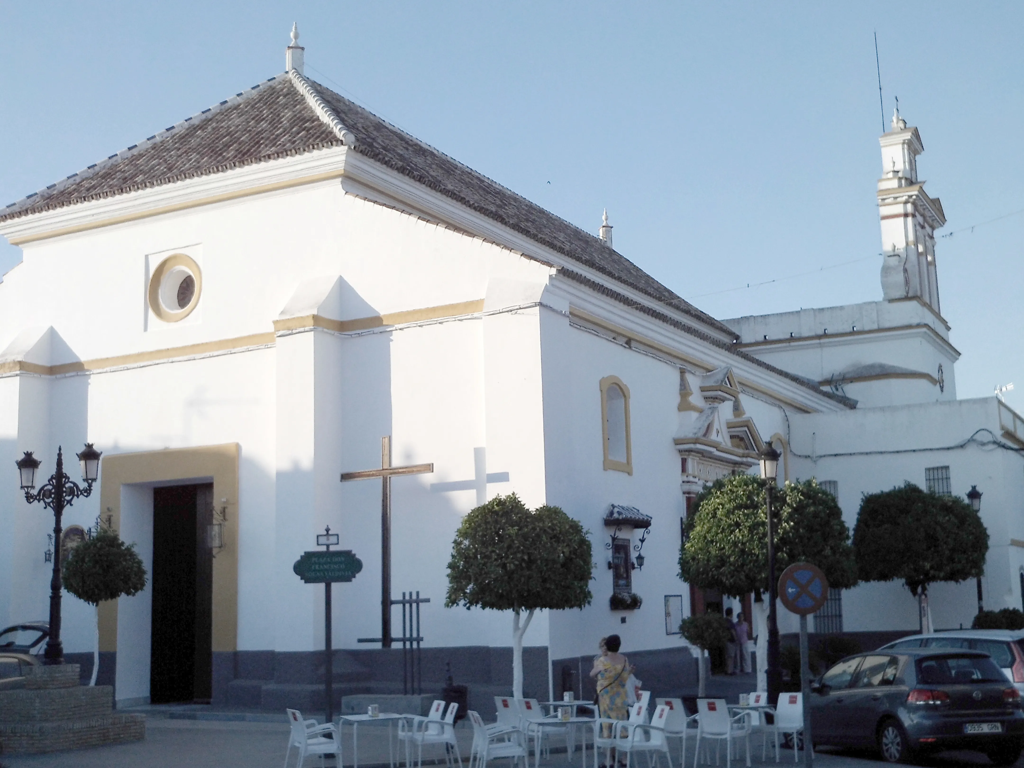
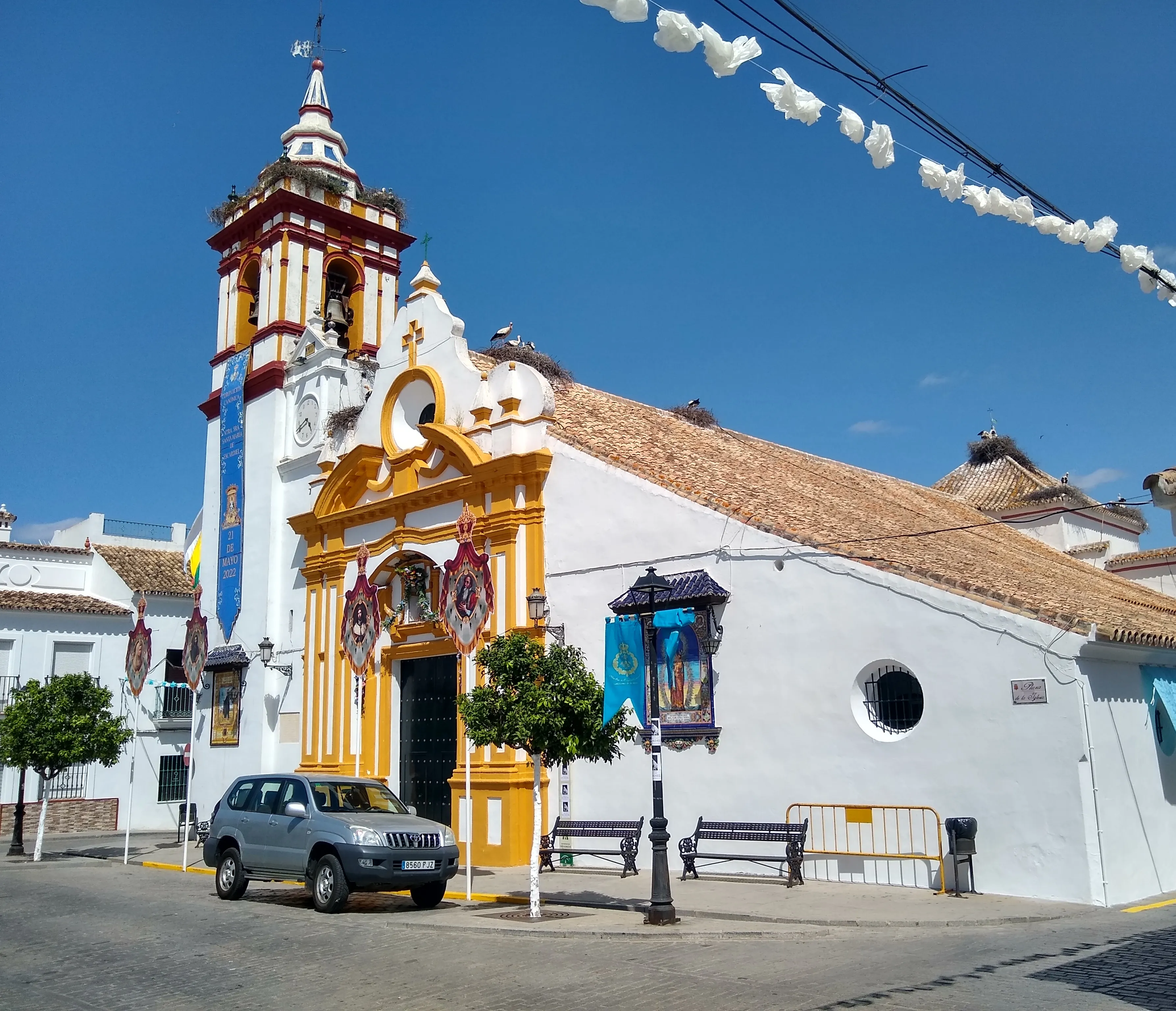
The Manchego Way is a 113 km Jacobean route that connects Ciudad Real to Toledo, serving as a connection for pilgrims of the Calatrava Field and Central La Mancha. From historic city of Toledo, it can be linked with the Levante Way or Madrid Way.
This path traverses emblematic landscapes of La Mancha, evoking the journeys of Don Quixote. It passes through localities with history such as Consuegra, with its famous windmills, and allows to enjoy the gastronomy and culture of this Castilian region.
Stages of this variant:
Stage 1: City of Truce to Malagon
Stage 2: Malagon to Urda
Stage 3: Urda to Los Yébenes
Stage 4: Los Yébenes to Sonseca
Stage 5: Sonseca to Toledo
Elevation Profile of
Elevation Profile of East Coast Road
Visualize the ups and downs of the route.
Loading elevation profile...
Error loading elevation profile or altitude data not available.
Your trip with Ourway
Everything you need for your Camino
No hassle. Your perfect route, from start to finish.
Accommodation
Selected hotels and hostels at every stage
Luggage transfer
Your backpack travels from stage to stage
Camino Guide
Detailed map with directions and services
24h Support
Team available for any unforeseen event
Pilgrim credential
Official documentation included
No commitment
Free personalized consultation
Stages
Stages of East Coast Road
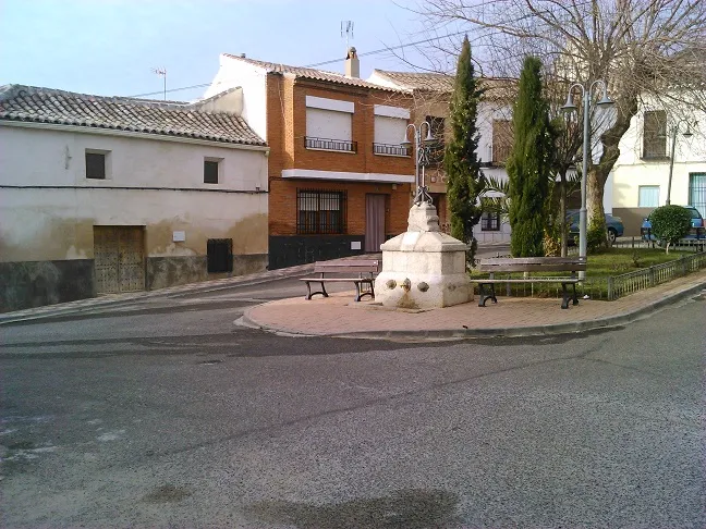
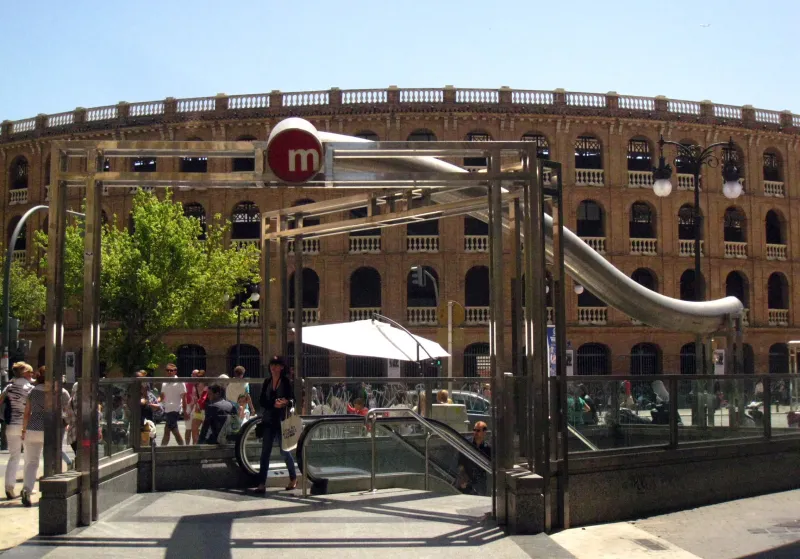
Valencia → Algemesí
The Levante Way starts in the vibrant city of Valencia, saying goodbye to the Mediterranean for a foray into the fertile Valencian plain. This first stage is a long but flat journey that serves as an ...
Algemesí → Xàtiva
This stage continues across the Valencian plain, on a route that draws the pilgrim closer to the peninsula's interior. The landscape remains dominated by orange groves and other irrigated crops. It is...
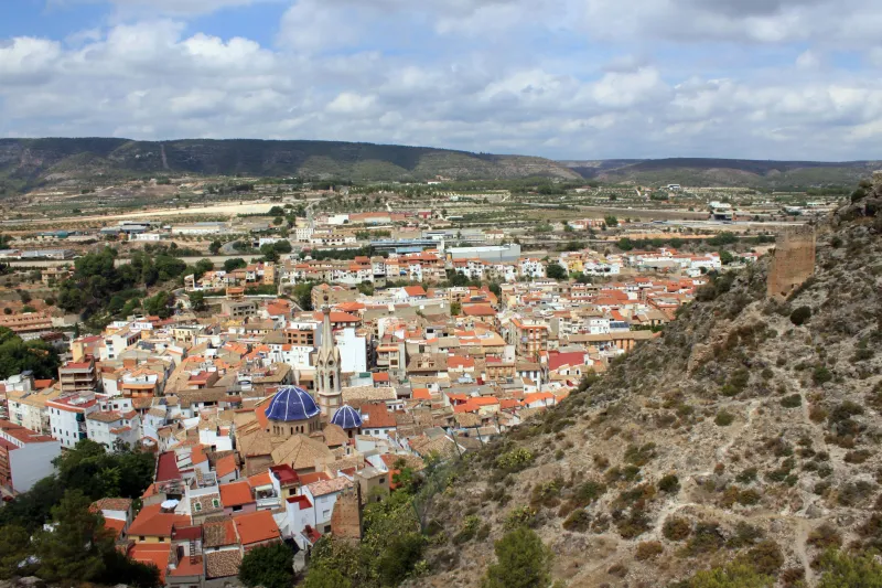
Xàtiva → Moixent
Leaving behind the monumental Xàtiva, this stage of the Levante Way delves into more mountainous and demanding terrain. The profile becomes wavy, with constant ascents and descents through mountains a...
Moixent → La Font de la Figuera
This is a short and transitional stage, ideal for recovering strength. The route runs across an elevated plain, with a landscape of vineyards and fields of grain that already signal the proximity of L...
La Font de la Figuera → Almansa
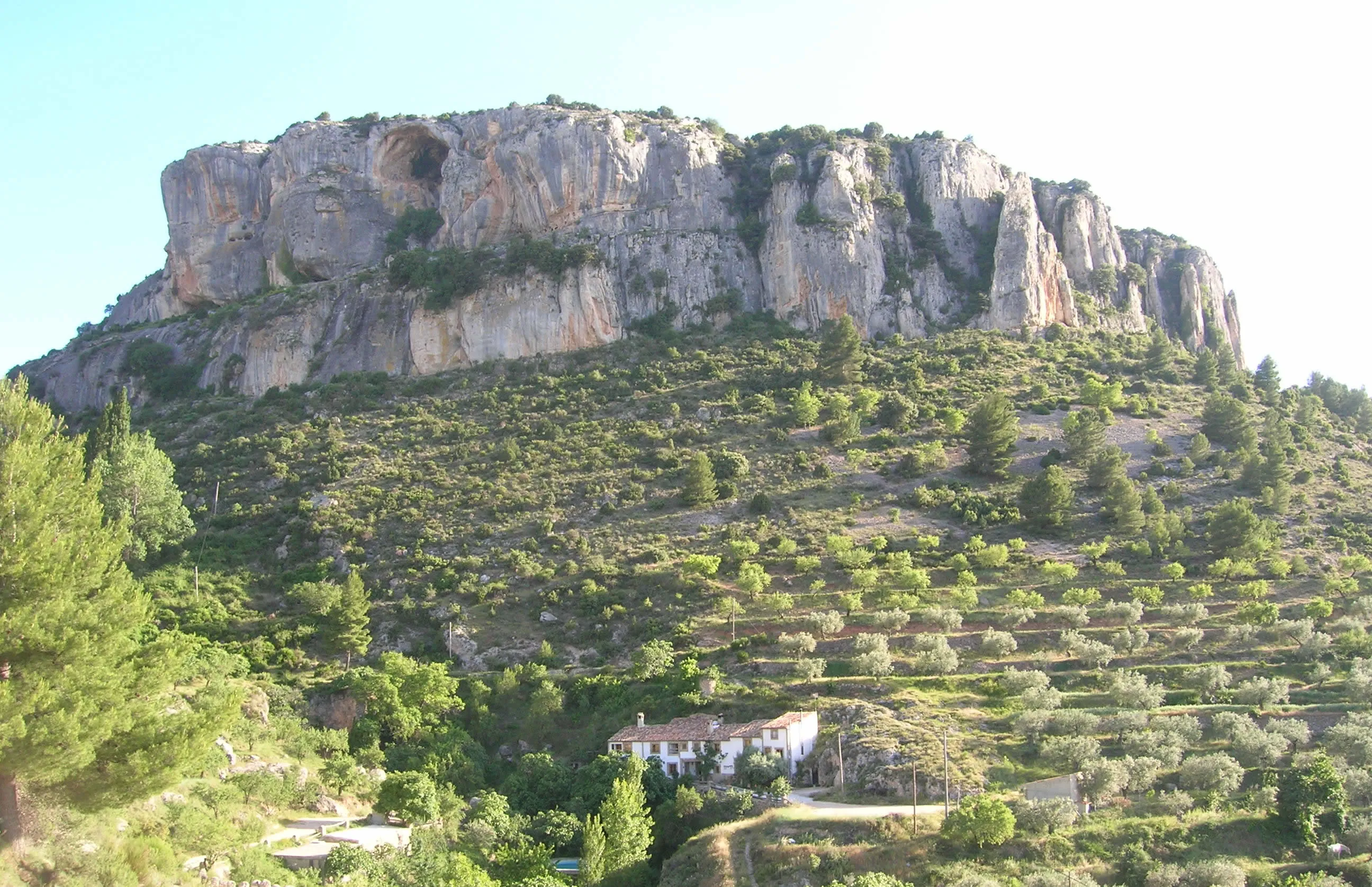
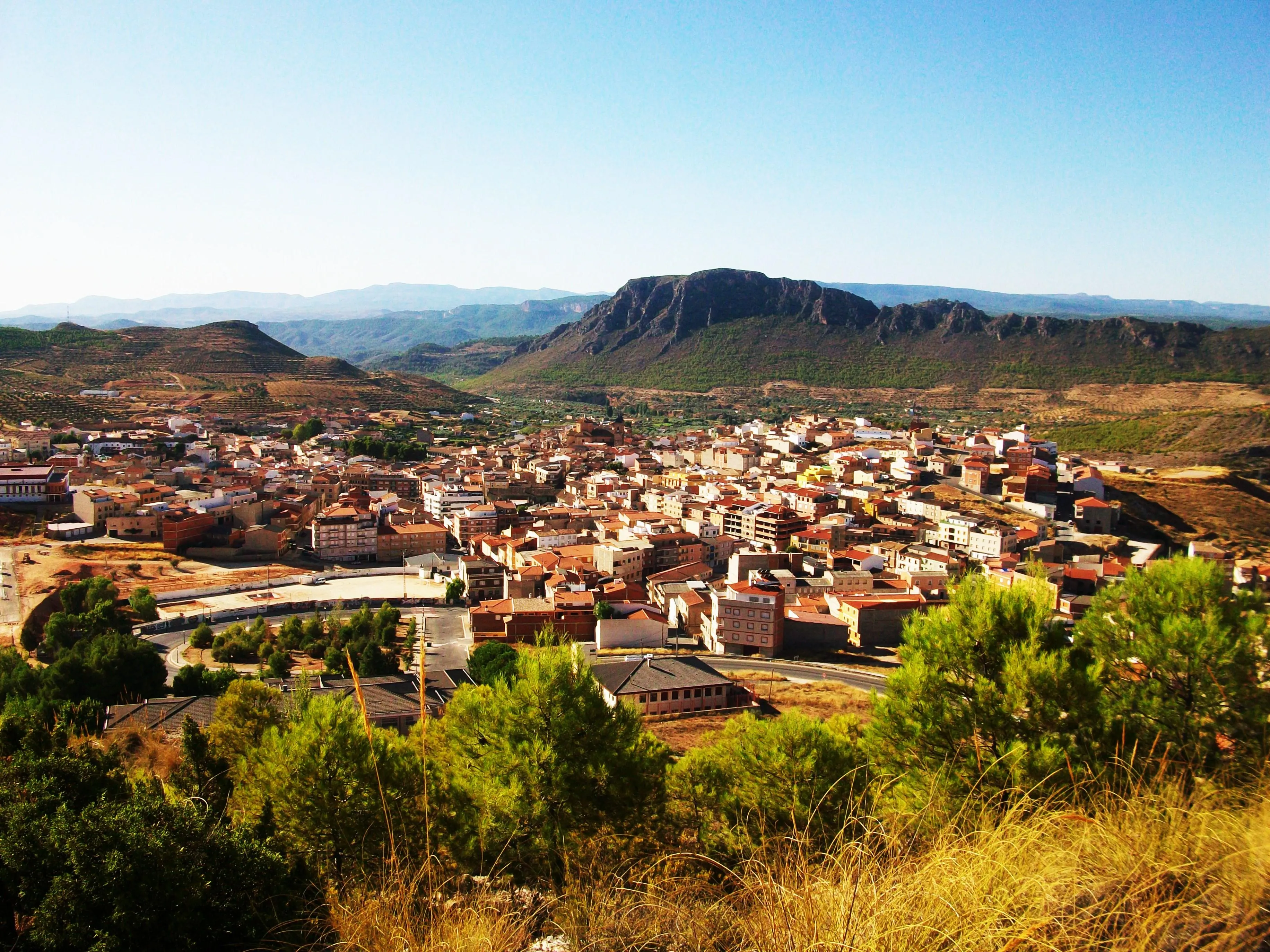
At this stage, the pilgrim crosses the invisible border between the Valencian Community and Castile-La Mancha, entering the province of Albacete. The landscape transforms into characteristic Manchegan...
Almansa → Higueruela
This is a long and demanding stage that dives right into the Manchegan plain. The route is almost flat, with long straights that cross a landscape of cereal fields and vineyards. The feeling of vastne...
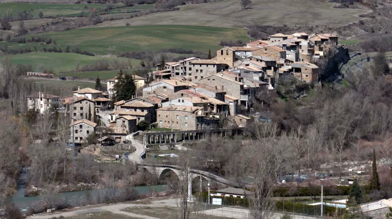
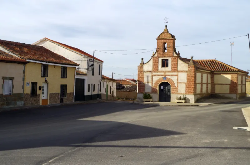
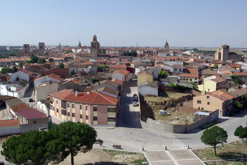
Towns
Featured Towns of East Coast Road
Explore the key towns and cities of this route.


History
Millenary History of the Camino de Santiago: Origins and Evolution East Coast Road
Discover the origins and evolution of East Coast Road
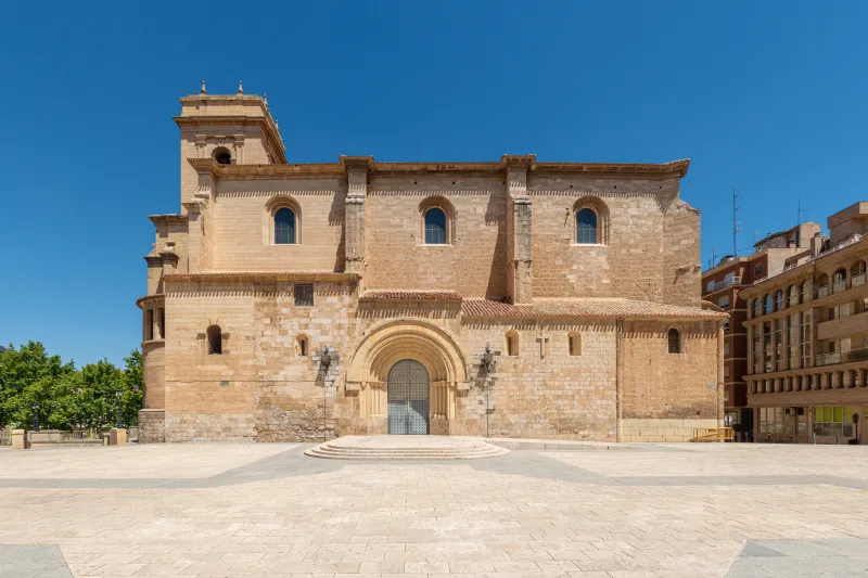
The origins of the Levante Way are rooted in the powerful communication network that underpinned the peninsula from Roman times. The city of Valencia, "Valentia Edetanorum" Roman and later capital of its own kingdom and one of the most active ports of the Mediterranean, was a natural starting point. Jacobean devotion in Valencia is documented since the Middle Ages, with the founding of pilgrim hospitals and brotherhoods under the patronage of St James, which served locals and mariners arriving by sea.
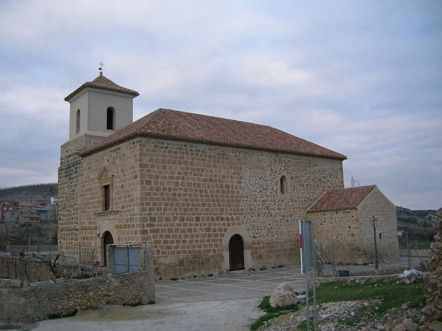
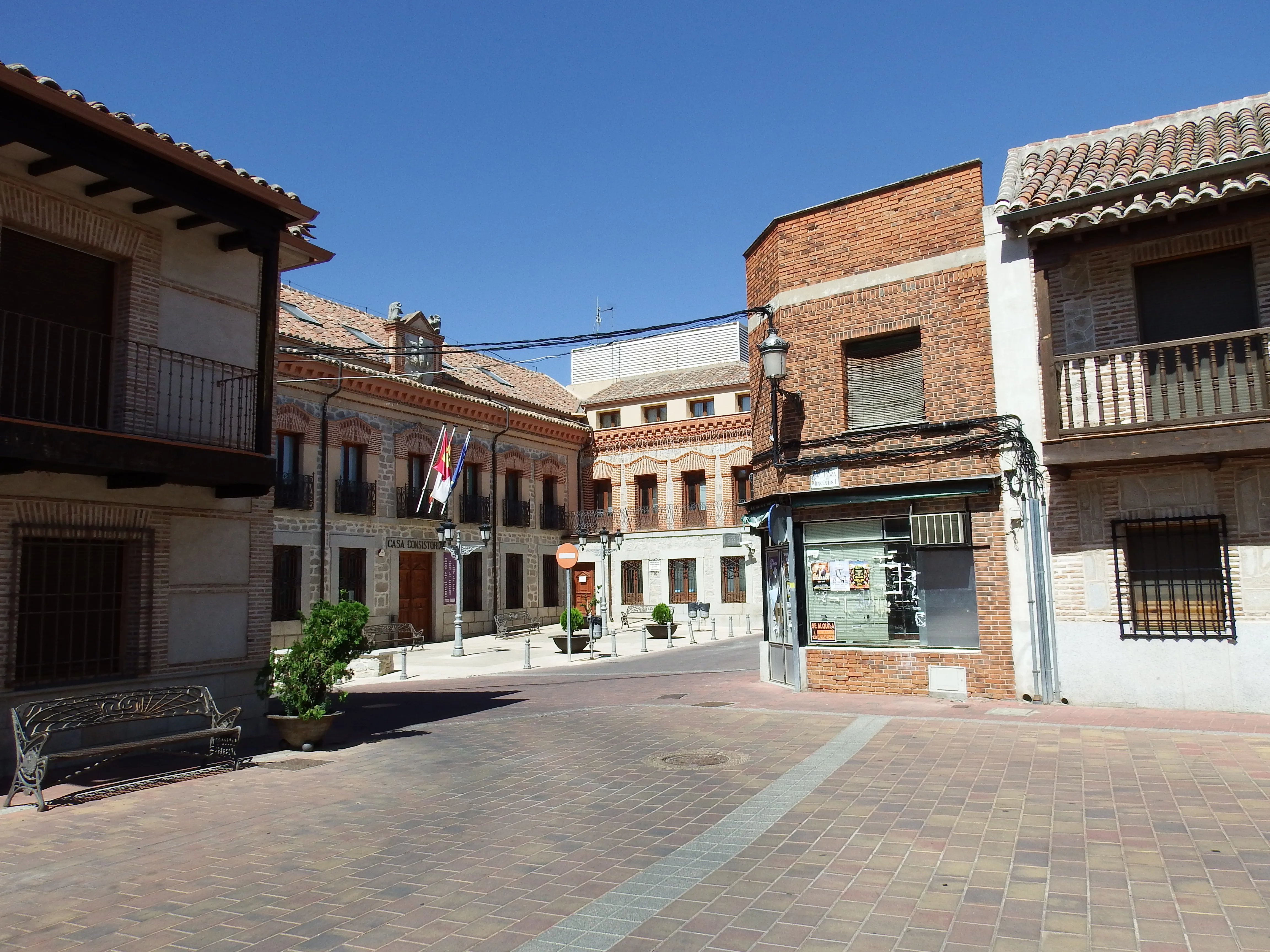
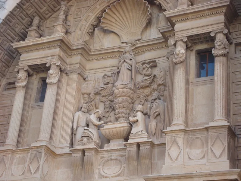
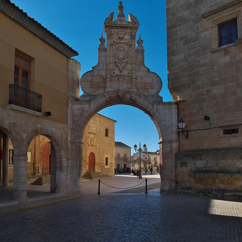
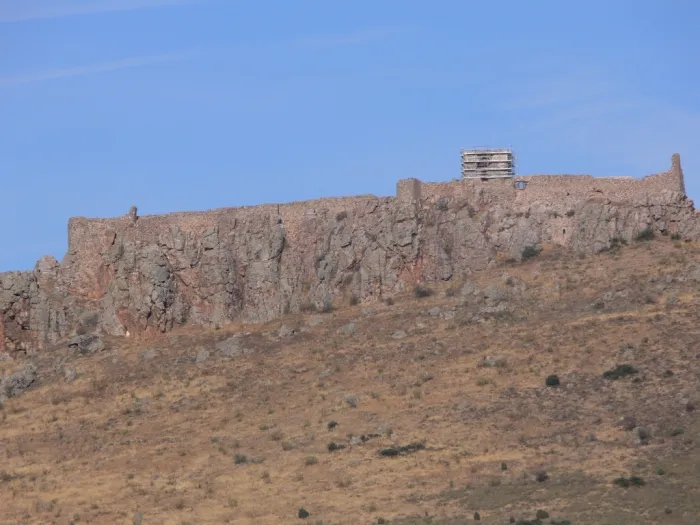
From Valencia, the route heads inland, leaving fertile huerta to begin an ascending progression towards the Meseta. The first major historical milestone is Xàtiva, birthplace of the Borja popes and a city of great strategic importance. The route enters Castile-La Mancha via Almansa, famous for its castle and for a decisive battle in the War of Succession. It traverses vast plains of La Mancha, passing through Albacete, La Roda and El Toboso, the literary homeland of Dulcinea.
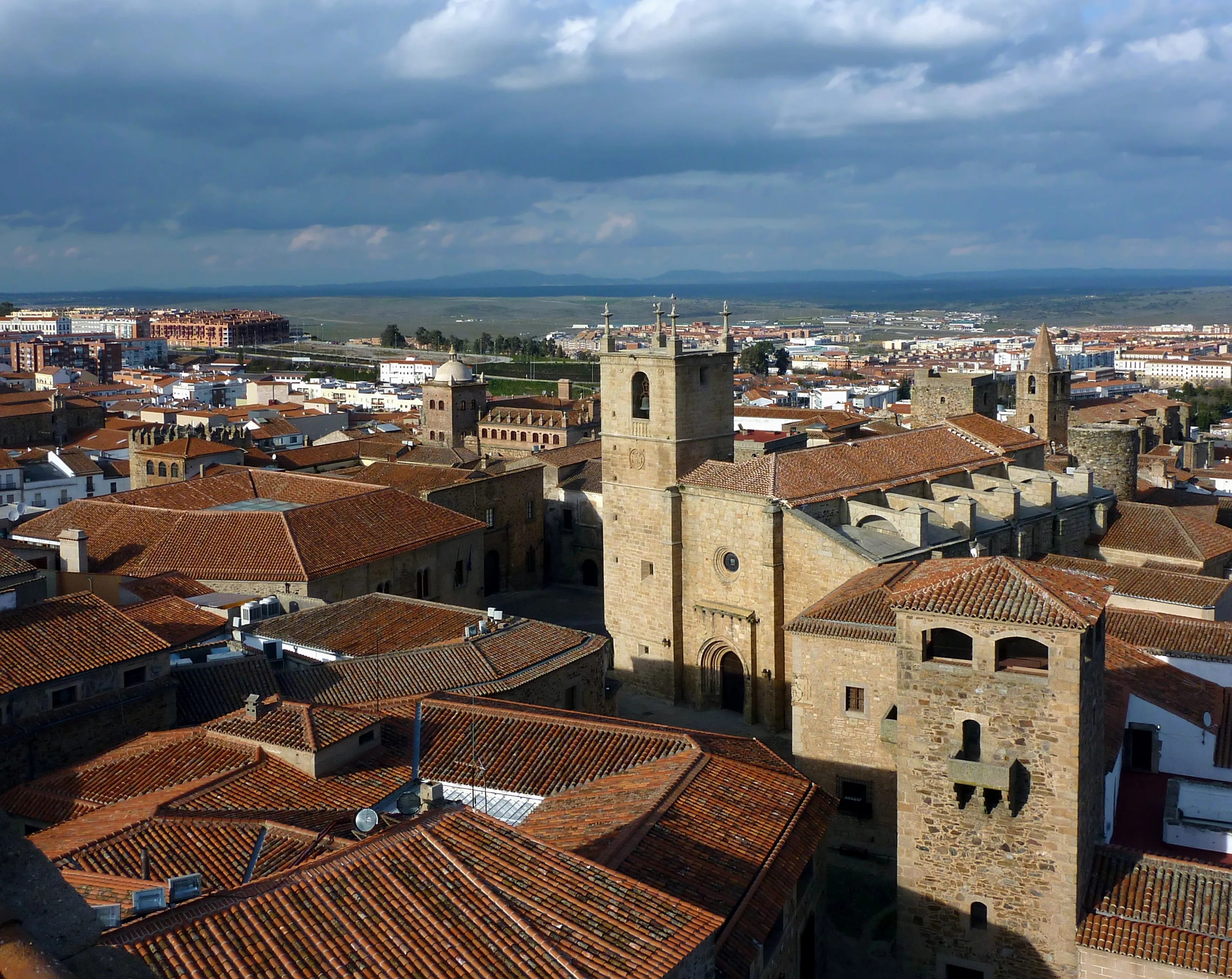
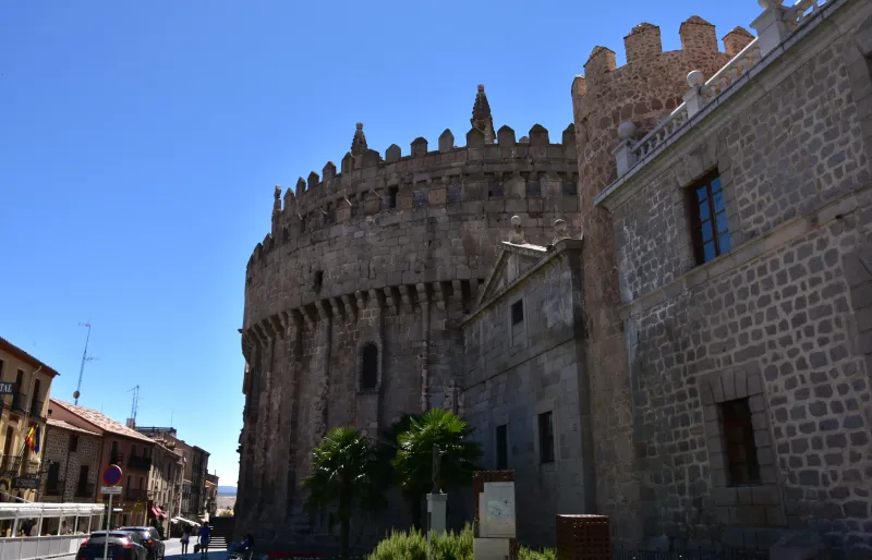
The route continues on to the northwest, facing some of Spain's most monumental cities. It passes through Toledo, imperial city, ancient Visigoth capital and melting pot of three cultures, a spiritual center of first order. It proceeds towards the Central Range, arriving at Ávila, St Teresa's city, protected by the best-preserved medieval walls in the world. After crossing the mountain range, it descends to the Meseta North, passing through Medina del Campo, whose castle of la Mota was a key player in Castile's history, and Tordesillas, on the Duero River banks. The route reaches Toro, with its magnificent Romanesque collegiate church, before reaching its intermediate destination: Zamora.
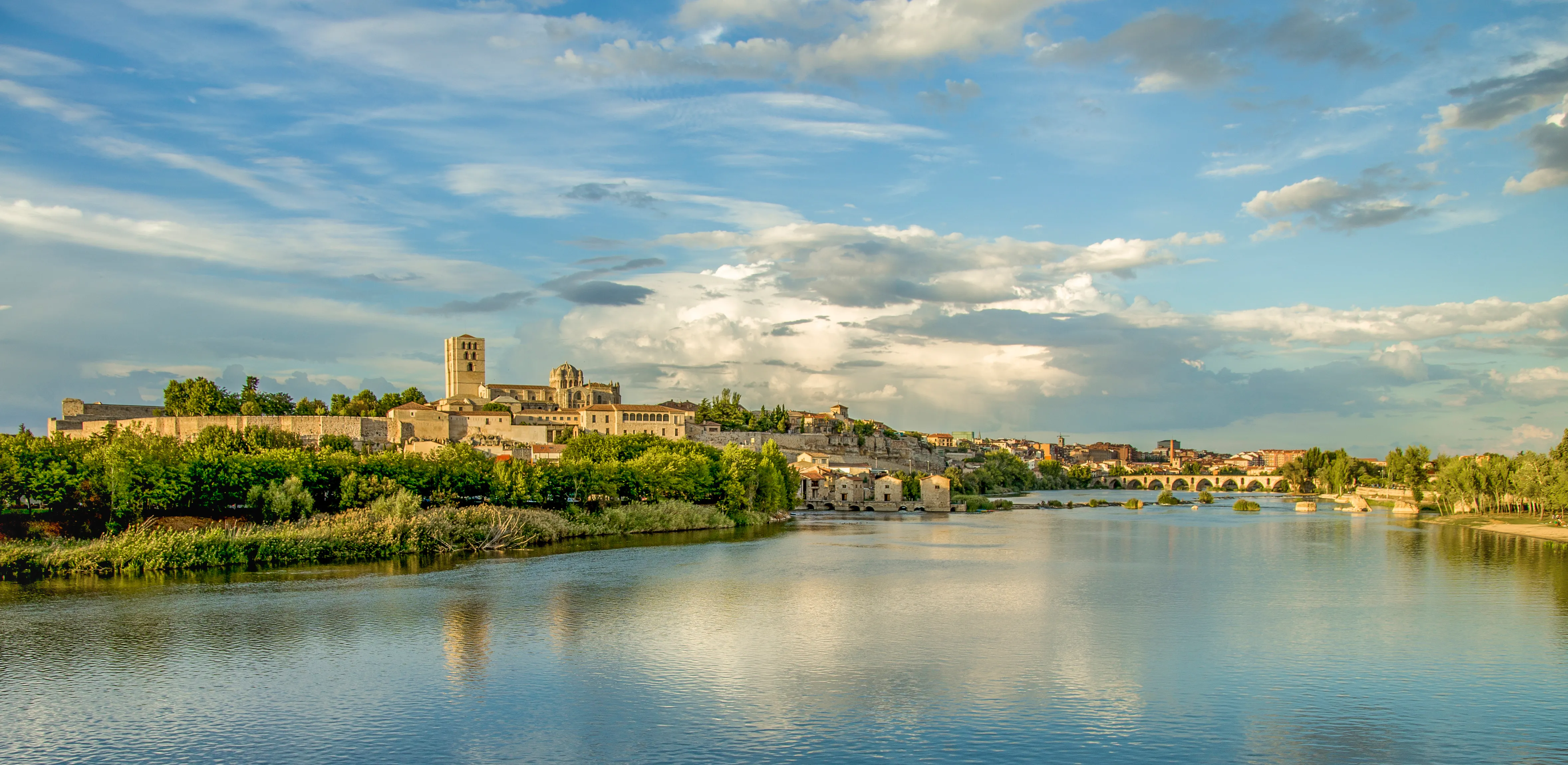
In Zamora, "the capital of Romanesque", the Levante Way fulfills its primary historical objective: linking up with the Via Plata. Pilgrims who have crossed half Spain from the Mediterranean join those ascending from the south. From Zamora, the unified route continues northwards. The total distance to Santiago exceeds 1,200 kilometers, making it one of the longest and most demanding routes.
Due to its length and the harsh climate of the Meseta, the Levante Way has always been a challenge reserved for the most persevering pilgrims. Today, its recovery and signage offer an exceptional Jacobean experience. It's a journey through often-forgotten Spain, a path of solitude, infinite horizons and monumental heritage, uniting the Mediterranean sun with the heart of old Castile on the long journey to Compostela.
We answer your questions
Frequently Asked Questions about East Coast Road
How long is the Camino de Levante to Santiago?
The Camino de Levante is a route of over 815 km that connects Valencia with the Vía de la Plata in Zamora, offering pilgrims an immersive experience through the Central Meseta and historical cities like Toledo. Ourway Travel provides all necessary information for your journey planning.
What is the difficulty level of the Camino de Levante?
The Camino de Levante is considered to be challenging due to its length and the terrain it crosses, especially in summer. Ourway Travel will provide you with all necessary details to prepare adequately.
Which is the best time of year to do the Camino de Levante?
The best period for this route is between April and October, especially in May and September when there's a good balance between weather and pilgrim numbers. Ourway Travel helps you plan your journey during these more favorable seasons.
How much does it cost to do the Camino de Levante with Ourway Travel?
The cost of the Camino de Levante varies depending on your chosen accommodation and services. At Ourway Travel, we manage customized packages to meet your specific needs. We recommend contacting us directly for an accurate quote.
What does booking the Camino de Levante with Ourway include?
When you book the Camino de Levante with Ourway Travel, we provide all necessary guarantees such as guaranteed reservations in selected hostels or hotels, detailed route information, and 24/7 assistance services during your pilgrimage. Additionally, we offer the official credential of the Camino.
How does the Camino de Levante compare to other routes to Santiago?
The Camino de Levante is a unique route that combines length and difficulty, offering a rich cultural and historical experience as it passes through cities such as Valencia, Toledo, and Ávila. Unlike the Camino Francés, which is known for being more traveled but also better equipped with tourist services, the Levante Route is less explored yet equally rewarding due to its direct contact with inland Spain.
What is the difference between Camino de Levante and Vía de la Plata?
The Camino de Levante ends in Zamora, where it joins the Vía de la Plata. While the Levante route offers a deep immersion into inland regions, the Vía de la Plata is known for its varied landscapes and Roman history through Extremadura to Galicia.
How does luggage transportation work on the Camino de Levante?
Ourway Travel offers a reliable backpack transfer service so you can enjoy your journey without worries. We handle all necessary reservations and coordinate appropriate transport for each stage.
Organize Your Camino
Ready for this adventure?
East Coast Road